
Curated by Sondrio e Valmalenco
Caiolo
Valtellina village on the Orobie side of the Adda, inside the Orobie Valtellinesi park.
- 1Highlights
- 5Routes
Highlights
14 from neighbouring places
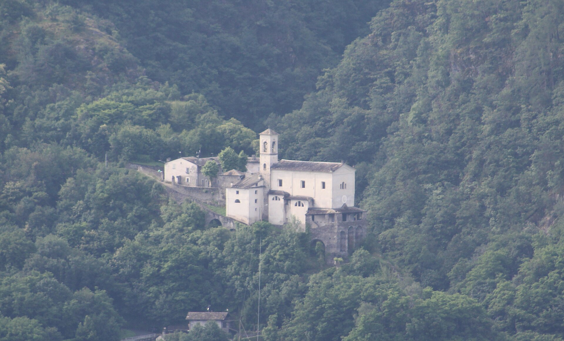
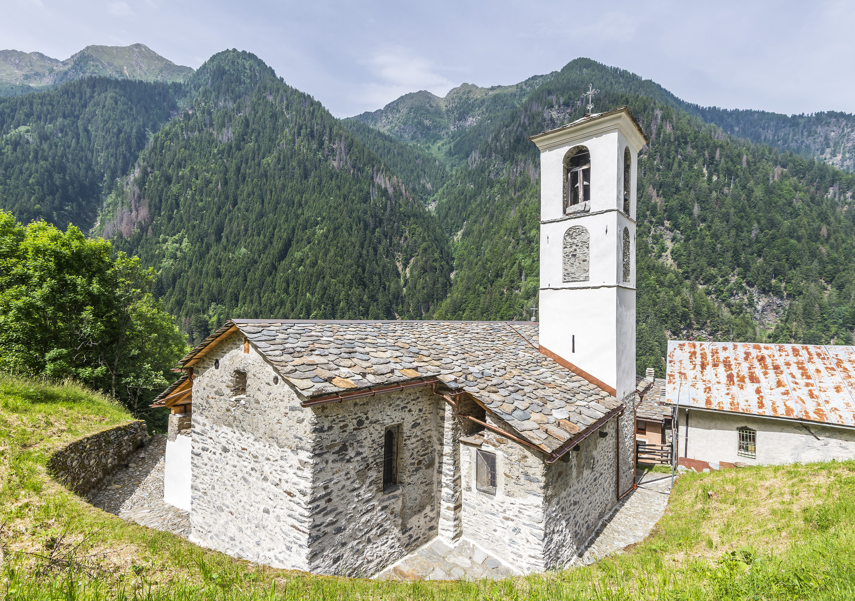
Chiesa di San Vittore
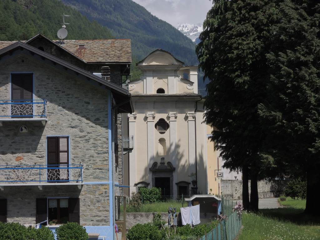
The parish church of Caiolo, on the Orobie slope facing Sondrio.
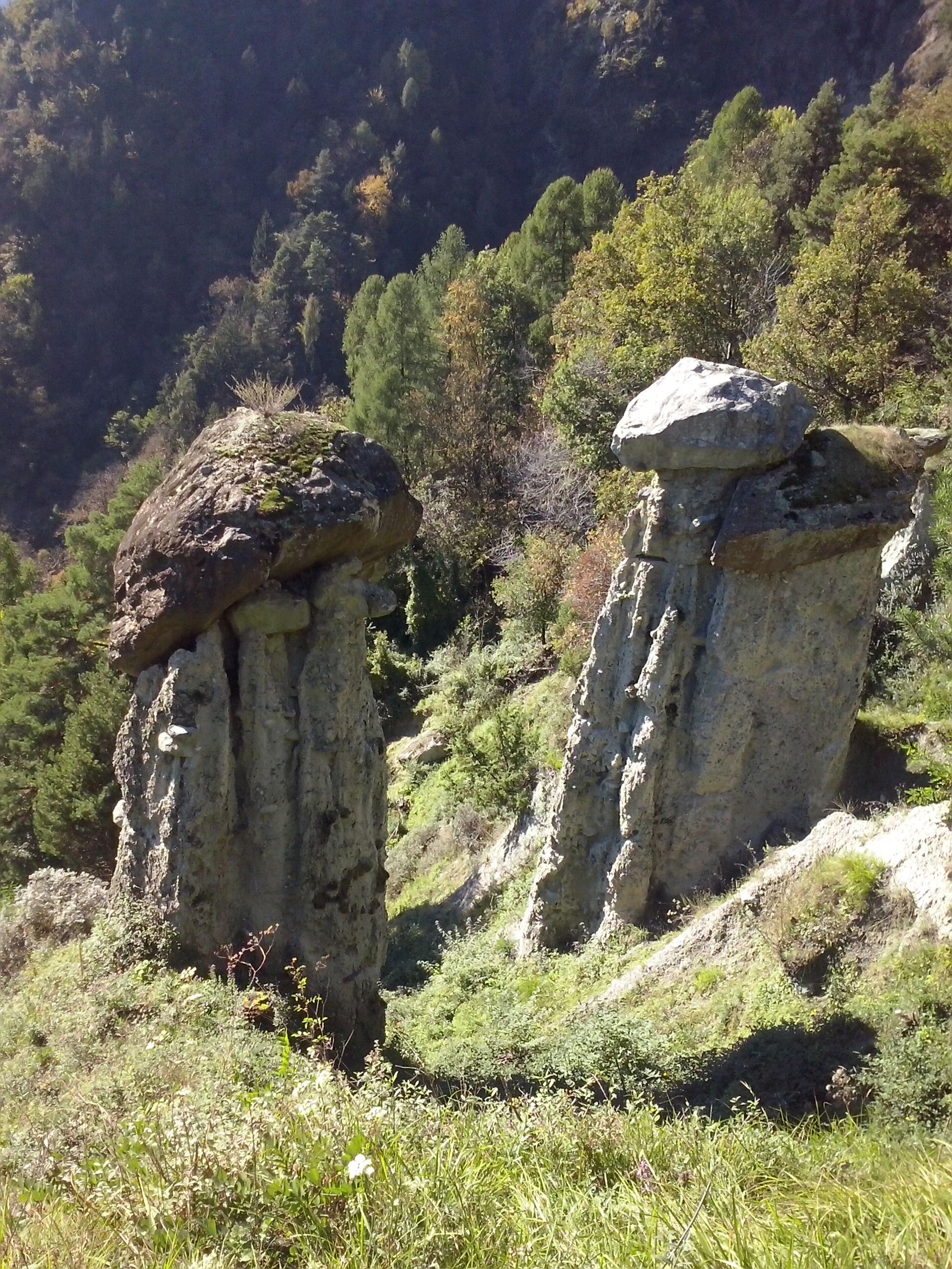
Riserva naturale delle Piramidi di Postalesio
9.4 km away, in Postalesio
Earth pyramids above Postalesio, moraine spires each capped by the stone that shelters it from rain.
Chiesa di San Rocco
9.5 km away, in Piateda
A votive church at Piateda, on the Orobie slope of the Valtellina.
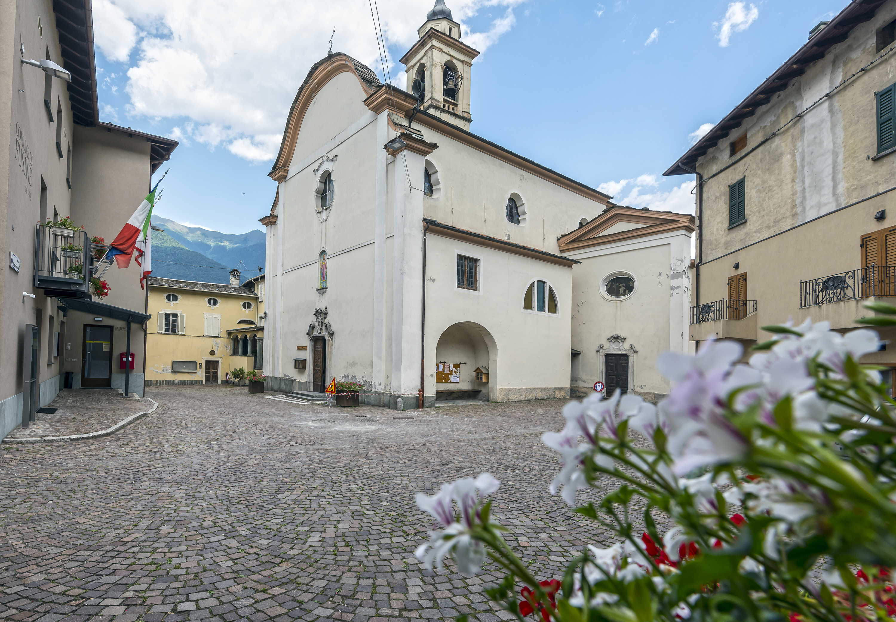
Chiesa di San Lorenzo
7.6 km away, in Fusine
The parish church of Fusine, on the Orobie side of the Valtellina.
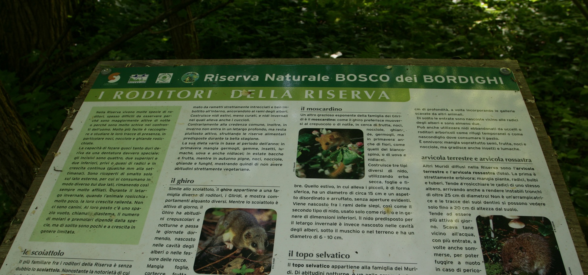
Riserva Naturale Bosco dei Bordighi
9 km away, in Montagna in Valtellina
A riverside wood on the Adda near Sondrio, one of the last stretches of the valley's original forest.
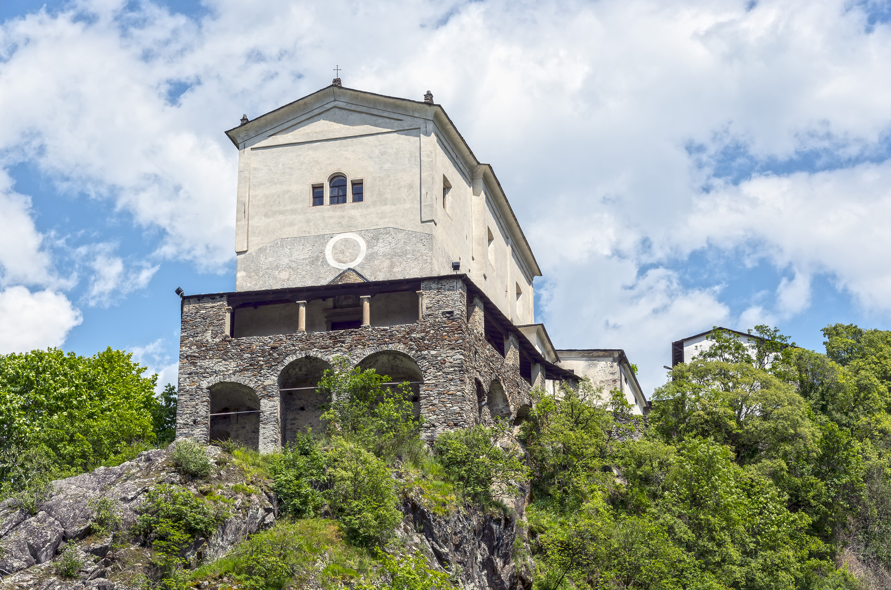
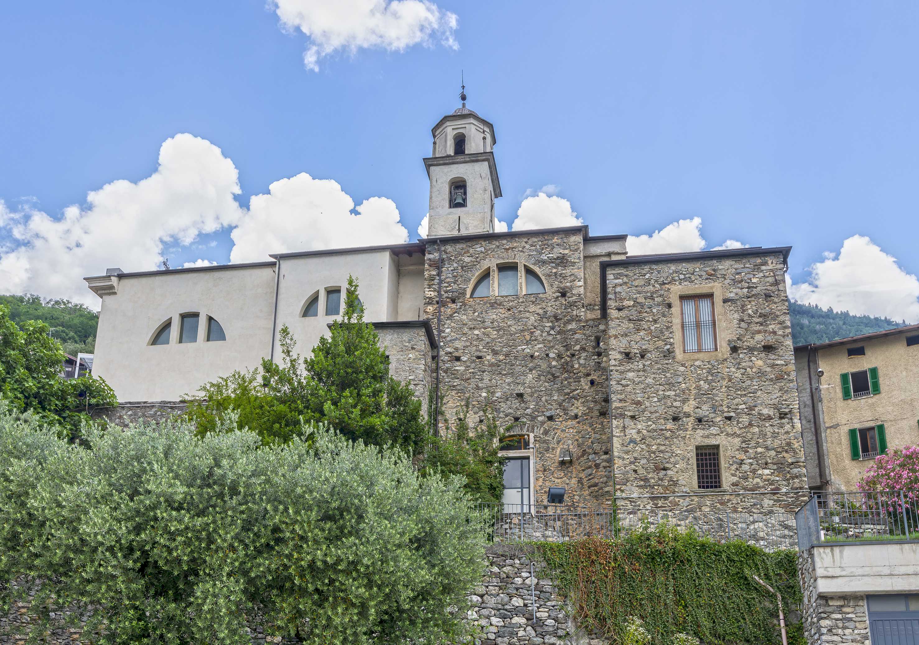
Chiesa di Sant'Abbondio
9.5 km away, in Berbenno di Valtellina
A church at Berbenno di Valtellina, on the Orobie slope above the Adda.
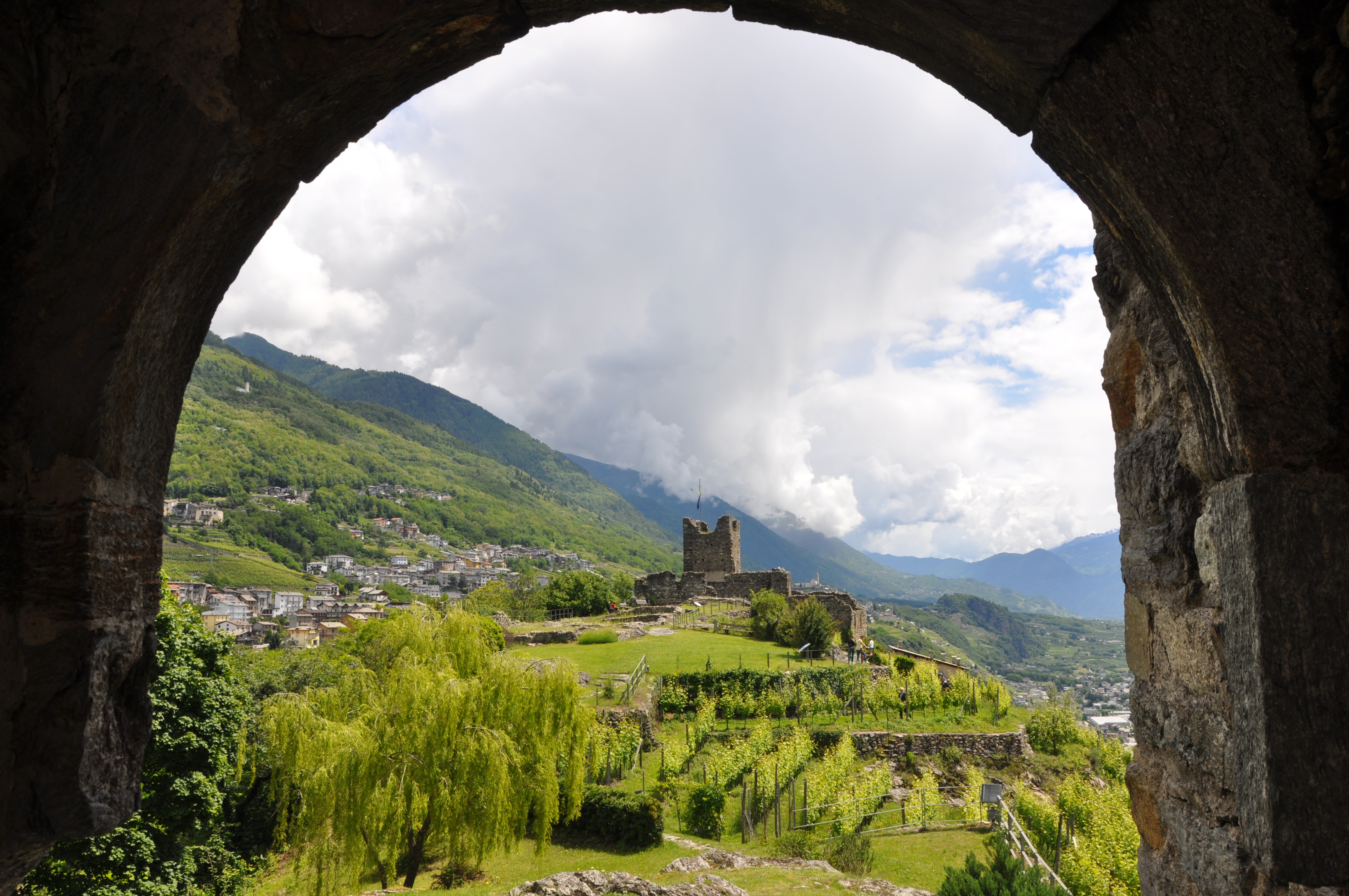
Castel Grumello
9.7 km away, in Montagna in Valtellina
A twin-towered ruined castle on a rock spur above the Valtellina, with vineyards below.
La Via dei Terrazzamenti
9.7 km away, in Montagna in Valtellina
A marked route along the Valtellina's dry-stone vineyard terraces between Morbegno and Tirano.
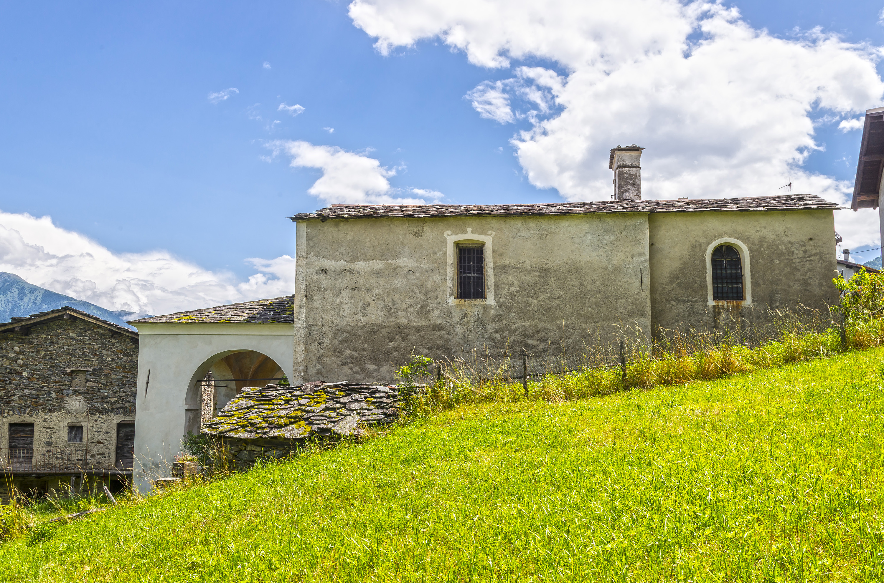
Chiesa di Sant'Antonio Abate
9.8 km away, in Montagna in Valtellina
A church beside the Grumello castle rock above Montagna in Valtellina.
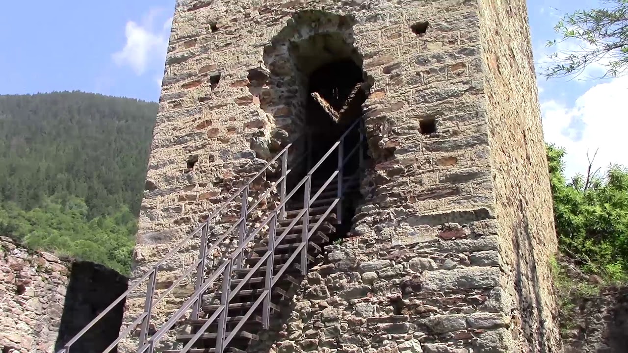
Torre di Mancapane
11.4 km away, in Montagna in Valtellina
A watchtower on the slope above Montagna in Valtellina, part of the valley's medieval signal chain.
Rifugio Olmo
13.4 km away, in Mezzoldo
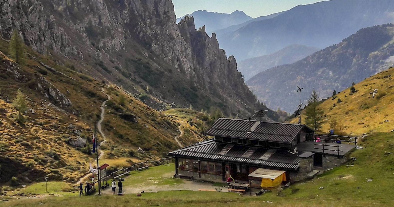
A hut above Mezzoldo in the upper Val Brembana, below the San Marco pass.
Chiesa di San Giuseppe
13.6 km away, in Torre di Santa Maria
A church at Torre di Santa Maria, in the Valmalenco.
Rifugi all'Alpe Mara
14.3 km away, in Montagna in Valtellina
Huts on the Alpe Mara above Montagna in Valtellina, on the Orobie slope.
Chiesa di Sant'Anna
14.5 km away, in Torre di Santa Maria
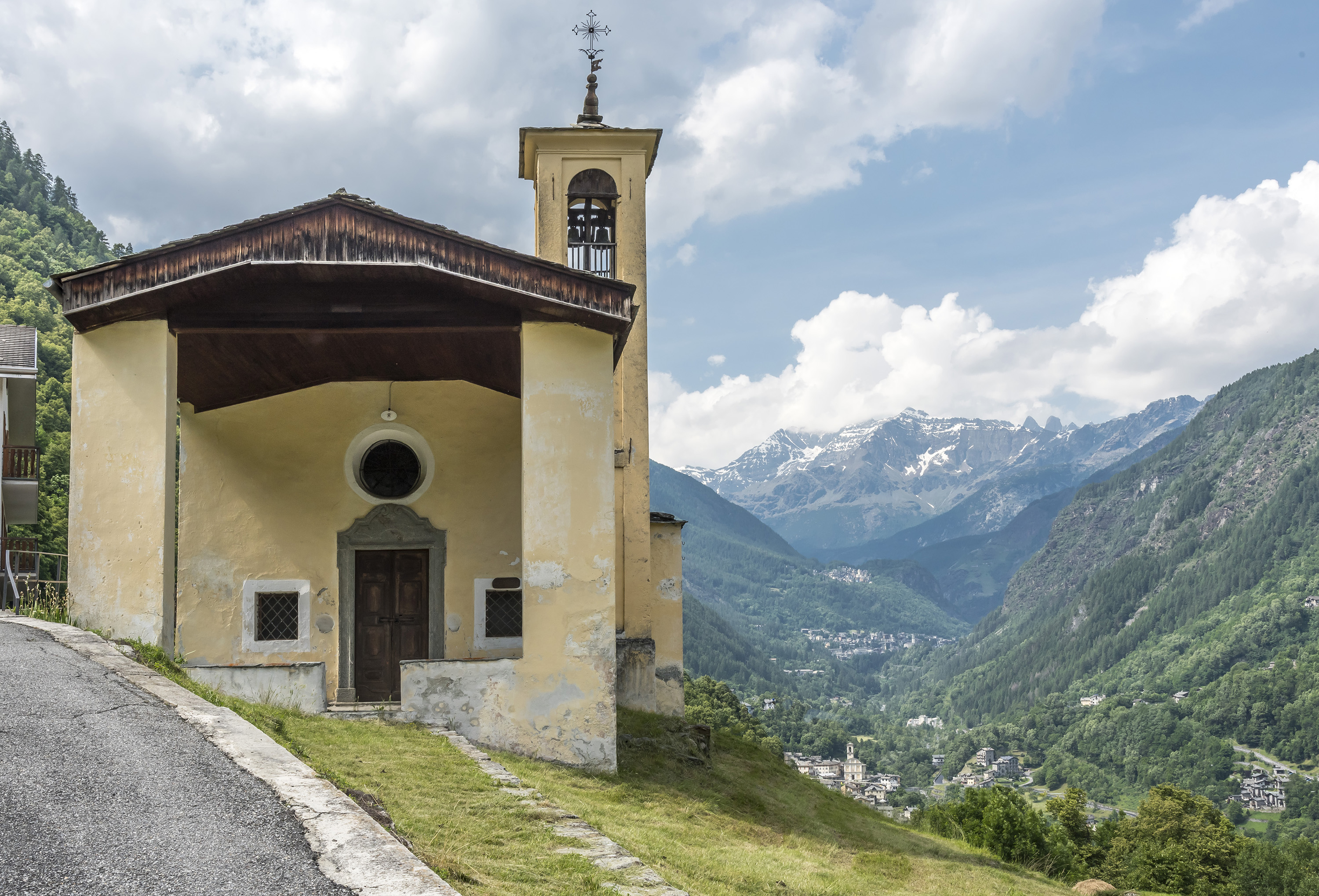
A chapel above Torre di Santa Maria, on the path up the valley.
 Historic site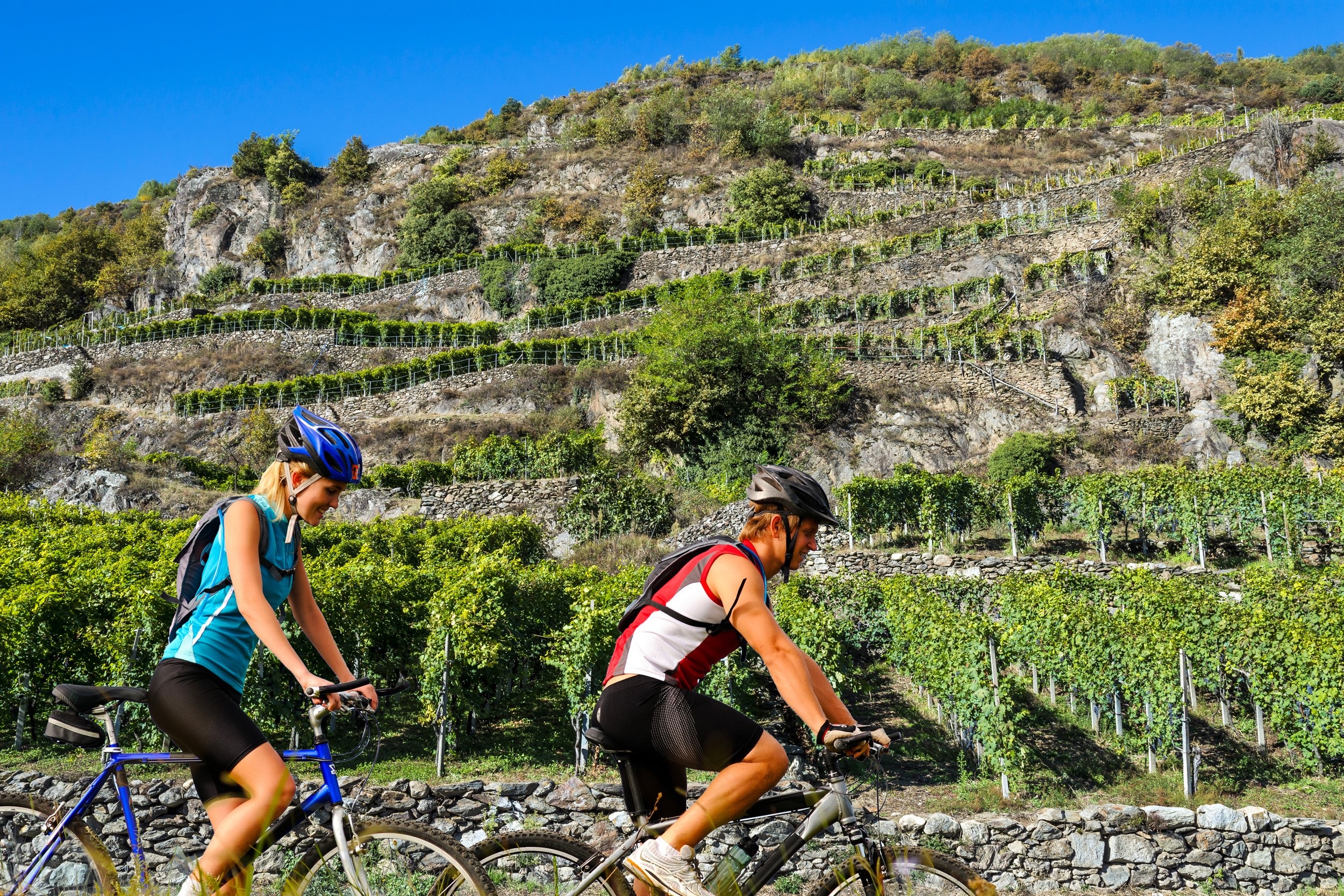
 Viewpoint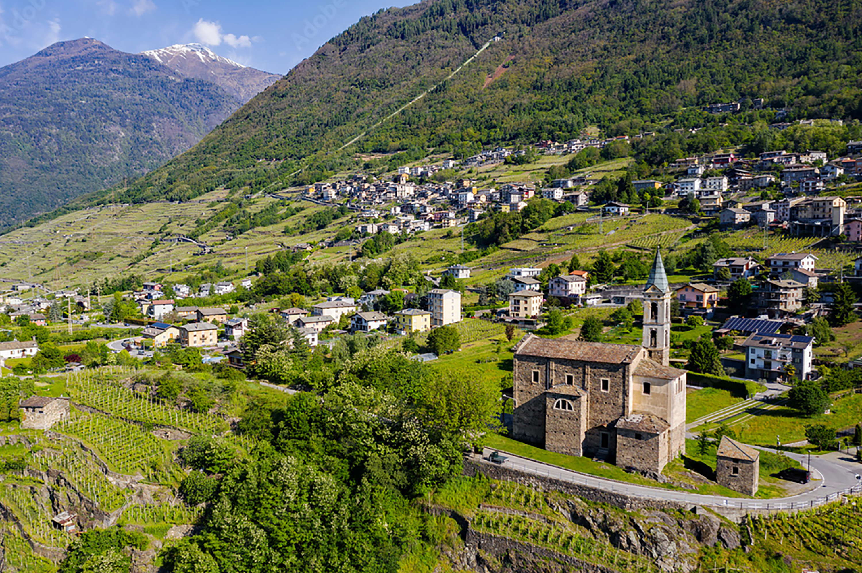
Nothing of this kind in Caiolo.
Routes
15 from neighbouring places
Il Sentiero Valtellina
The Colico end of the Sentiero Valtellina, where the route along the Adda leaves the head of Lake Como for the valley.
- 113.6 km
- Distance
- 1 108 m
- Ascent
- 28 h 24 min
- Duration
- 12
- Check-ins
Caiolo
A long day above Caiolo on the Orobie side of the Valtellina, climbing from the valley floor into the side valleys.
- 27.0 km
- Distance
- 1 353 m
- Ascent
- 10 h 1 min
- Duration
- 4
- Check-ins
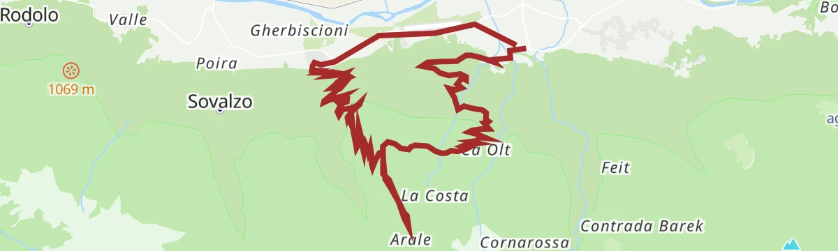
Caiolo; Val Cervia, Arale, Cedrasco, Caiolo (MTB-EMTB)
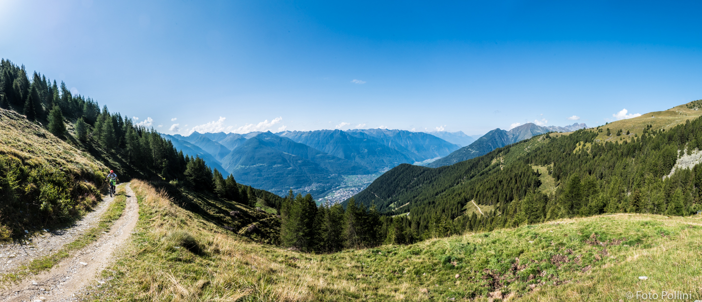
A circular ride above Caiolo, paved as far as San Bernardo and then dirt, using the high firebreak track across to the Cedrasco side.
- 27.1 km
- Distance
- 1 377 m
- Ascent
- 3 h 48 min
- Duration
- 4
- Check-ins
 CNSAS Corpo Nazionale Soccorso Alpino e Speleologico 274 m
- AREU Base elisoccorso di Caiolo 275 m
- Scuola di volo 275 m
Open route Valtellina OutdoorSentiero Valtellina
A valley-floor cycleway following the Adda upstream from the plain at Colico for well over 100 km into the upper Valtellina.
- 113.4 km
- Distance
- 1 068 m
- Ascent
- 10 h 43 min
- Duration
- 6
- Check-ins
- Agriturismo Rini 1 180 m
- Pro Loco 1 140 m
- A2A 504 m
- Visit Valtellina 434 m
- Il Bisteca - Agriturismo 242 m
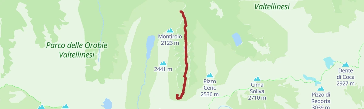
Open route Valtellina OutdoorGran Via delle Orobie stage 7 - Credaro path
A high stage from the Caprari hut in the Livrio valley over the Scoltador, Branda and Forcellino passes to the Mambretti hut in Val Scais.
- 17.7 km
- Distance
- 1 609 m
- Ascent
- 10 h 19 min
- Duration
- 4
- Check-ins
- Rifugio Luigi Mambretti 2 004 m
- Baita Cornascio 1 557 m
- Capanna Messa 1 546 m
- Baita Zocco 1 814 m
 Passo del Forcellino 2 240 m
- Baite Cìgola 1 874 m
- +5
Open route Valtellina OutdoorCon le pelli fin sul Pizzo Brunone
6.7 km away, in Piateda
A ski-touring line to the Pizzo Brunone starting at Agneda, a hamlet left empty in winter with a fifteenth-century church of Sant'Agostino.
- 8.7 km
- Distance
- 1 791 m
- Ascent
- 301 m
- Descent
- 5 h 2 min
- Duration
- 1
- Check-ins
Sondrio - Albosaggia - Bosco dei Bordighi by bike
8.3 km away, in Sondrio
A mostly paved ride from the valley floor onto the Valtellina cycle path, with a steady climb to Moia and a short crossing of a nature reserve.
- 12.8 km
- Distance
- 160 m
- Ascent
- 1 h 17 min
- Duration
Open route Valtellina OutdoorCaldenno Loop
8.6 km away, in Postalesio
A loop through the dry-stone terraces above Postalesio, among the Nebbiolo vines of the Valtellina wine road.
- 5.9 km
- Distance
- 232 m
- Ascent
- 1 h 57 min
- Duration
Open route Valtellina OutdoorBoirolo (Tresivio), Alpe Rogneda, Bocchetta Mara (MTB-EMTB)
13.9 km away, in Tresivio
A steep e-bike climb from the car park at 1,500 m above Tresivio, up past Rifugio Alpini Santo Stefano and Alpe Rogneda to the pass above.
- 12.0 km
- Distance
- 821 m
- Ascent
- 2 h 5 min
- Duration
- 6
- Check-ins
Open route Valtellina OutdoorZappello Valley and Lucini bivouac.
4.9 km away, in Piateda
A climb from Ambria on trail 253 into the Zappello valley, past a lake that forms with the snowmelt, to the Alpe Dossello huts and the Lucini bivouac.
- 5.7 km
- Distance
- 560 m
- Ascent
- 2 h 25 min
- Duration
Open route Valtellina OutdoorAlpe Campelli of Albosaggia, Casera, Bedolessi, Campelli (MTB-EMTB)
5.1 km away, in Albosaggia
A hard e-bike loop above Albosaggia, climbing rough unpaved road into the Meriggio valley and on past the Rifugio Lago della Casera.
- 21.9 km
- Distance
- 1 038 m
- Ascent
- 2 h 56 min
- Duration
- Baita Nòva m.2040 (SO) 2 040 m
- Rifugio Lago della Casera 1 966 m
- Bivacco V Alpini 1 965 m
- Baita Tromba m.1988 (SO) 1 988 m
- Baita del Meriggio 2 008 m
- Sass Marmuli (SO) 1 898 m
Open route Valtellina OutdoorGrand Tour of the Rolla
7.9 km away, in Sondrio
A loop from 450 m to nearly 2,000 m at the Alpe Colina bivouac, facing the Orobie and the Disgrazia.
- 38.1 km
- Distance
- 1 720 m
- Ascent
- 5 h
- Duration
- 6
- Check-ins
- Bivacco Alpe Colina 2 070 m
- Baita di Galibio 1 719 m
 Laghetto di Ligari 1 201 m
- Baita cacciatori Vendul 1 999 m
Open route Valtellina OutdoorAlla scoperta della Val Venina
6.1 km away, in Piateda
A long walk into the Val Venina above Piateda, from Ambria up past the dams to the pastures at the head of the valley.
- 21.9 km
- Distance
- 1 470 m
- Ascent
- 9 h 54 min
- Duration
Valli di Tartano gran tour con cli sci
11.2 km away, in Tartano
A long, demanding high route through the Tartano mountains, crossing Passo di Lemma and Passo del Vallone within sight of the granite walls of Val Masino.
- 13.5 km
- Distance
- 1 342 m
- Ascent
- 1 184 m
- Descent
- 5 h 5 min
- Duration
- 27
- Check-ins
Wine Bike Tour 3 - Natura
8.3 km away, in Sondrio
A short tour from Sondrio through the vineyards and green corners of the Adda valley floor, one of the town's numbered wine-route rides.
- 12.8 km
- Distance
- 154 m
- Ascent
- 1 h 17 min
- Duration
Grumello Ring
8.8 km away, in Sondrio
A vineyard circuit on the terraced slope above the valley floor, one of the wine-route itineraries running between dry stone walls and Nebbiolo vines.
- 6.6 km
- Distance
- 231 m
- Ascent
- 2 h 8 min
- Duration
Open route Valtellina OutdoorVal Venina to discover the ancient smelting furnace
5 km away, in Piateda
From the village of Ambria up a steep path by the Alpe Carè and the Venina steps to the dam, near an excavated smelting furnace.
- 7.6 km
- Distance
- 895 m
- Ascent
- 3 h 47 min
- Duration
Open route Valtellina OutdoorThe Armisola Tour
8.9 km away, in Piateda
A mountain-bike ring from Gaggio di Piateda by forest road to the Le Piane hut and on to the Armisola pasture at 1,630 metres.
- 17.2 km
- Distance
- 658 m
- Ascent
- 2 h 9 min
- Duration
- 3
- Check-ins
Open route Valtellina OutdoorItineario EBike Grumello
8.1 km away, in Sondrio
An e-bike route above Sondrio to the Grumello vineyards, passing the San Lorenzo convent.
- 17.4 km
- Distance
- 426 m
- Ascent
- 1 h 57 min
- Duration
- 2
- Check-ins
Open route Valtellina OutdoorRing archaeological-mining site of the Val Venina
6.1 km away, in Piateda
A long ring in the Val Venina above Piateda, taking in the excavated iron-working and mining sites in the valley.
- 22.3 km
- Distance
- 1 447 m
- Ascent
- 9 h 48 min
- Duration
Open route Valtellina Outdoor





No routes of this kind in Caiolo yet.
Planning a trip to Caiolo?
Everything else Lombardy has, in one place


Take Caiolo with you into the mountains
Every route on this page with 3D terrain, GPX navigation and offline maps — including the valleys with no signal.
Data sources
- Official website: sondrioevalmalenco.it ↗
- Routes and highlights: Sondrio e Valmalenco, Valtellina Outdoor, in Lombardia, Visitbergamo
- Published as open data by the tourist boards named above.
- Region summary generated from the board's own material.
