
 Historic site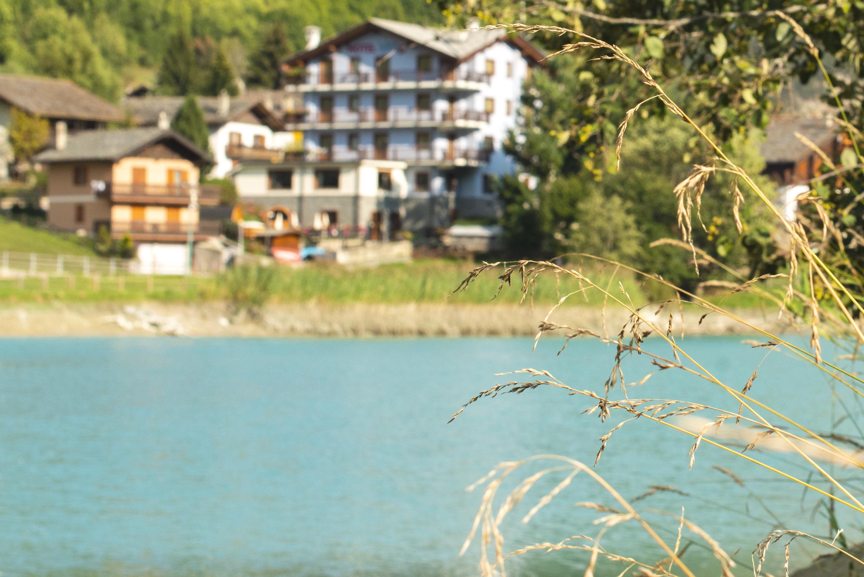










Curated by Visit Monterosa
Brusson
A middle Val d'Ayas village on the Evançon, with the Palasinaz lakes and the Corno Bussola on the ridge above.
- 7Highlights
- 9Routes
- Featured summit · Corno Bussola
Highlights
6 from neighbouring places
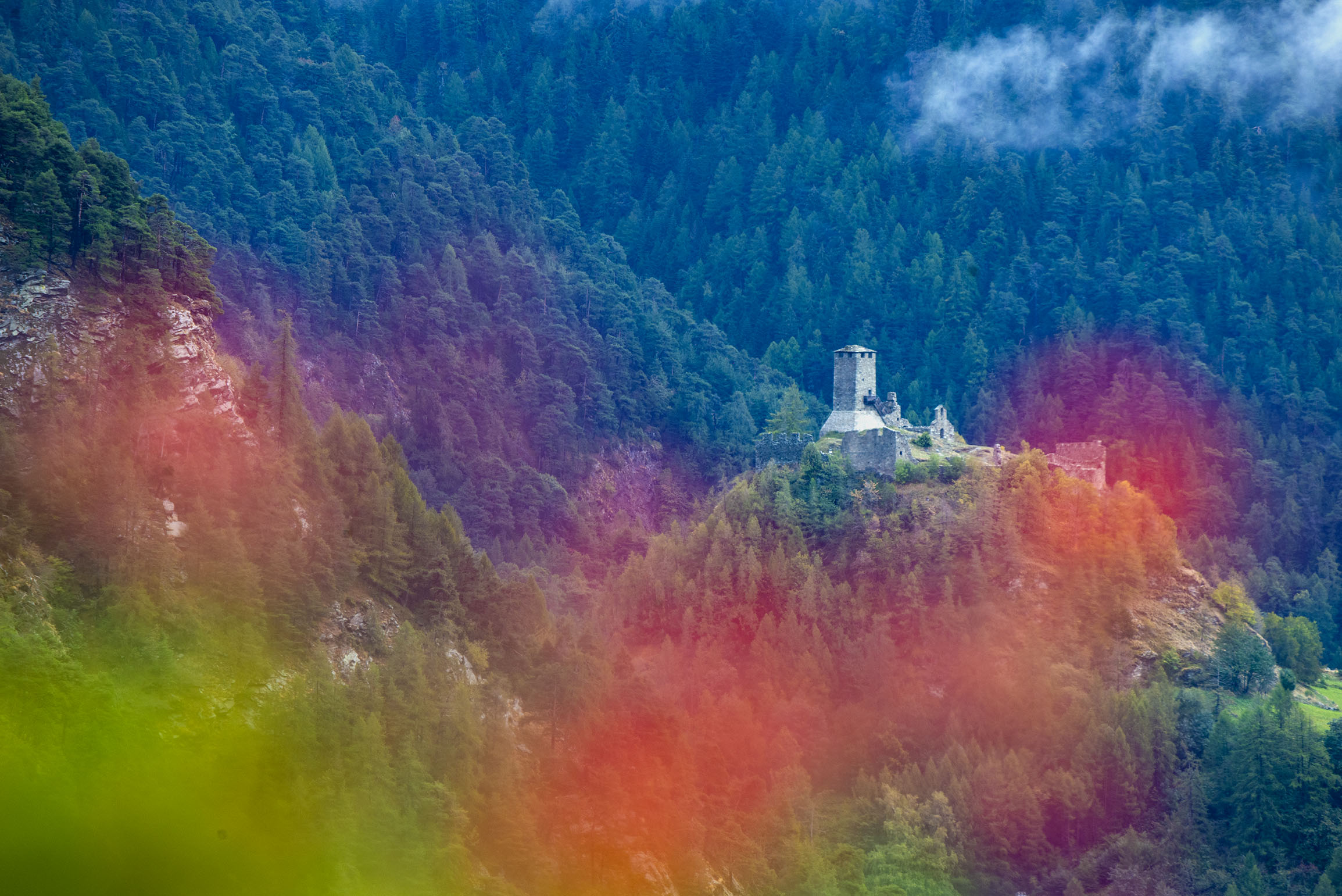
Castello di Graines
An eleventh-century castle of the primitive type on a rock spur above Brusson, one of the oldest in the Valle d'Aosta.
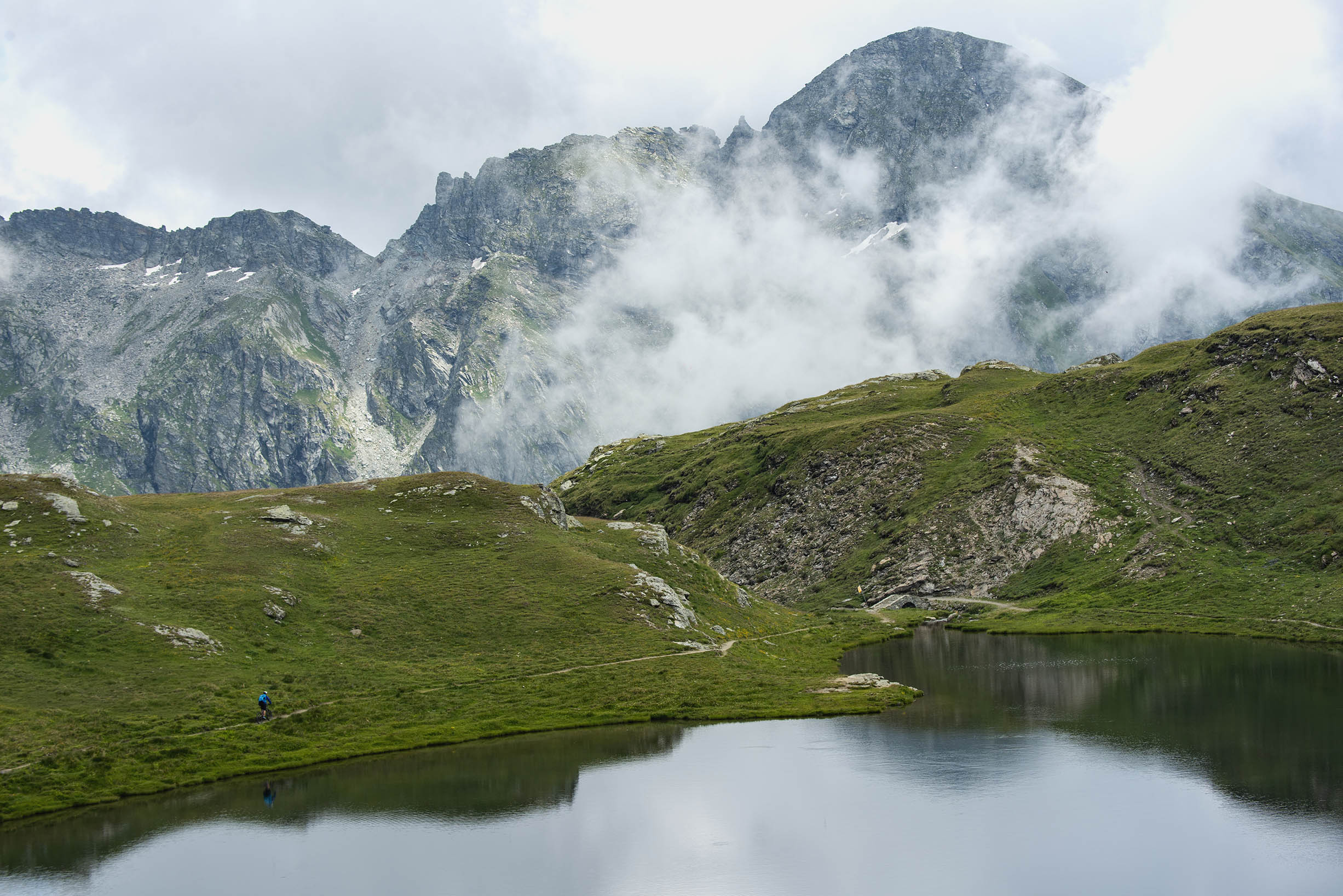
Laghi di Palasinaz
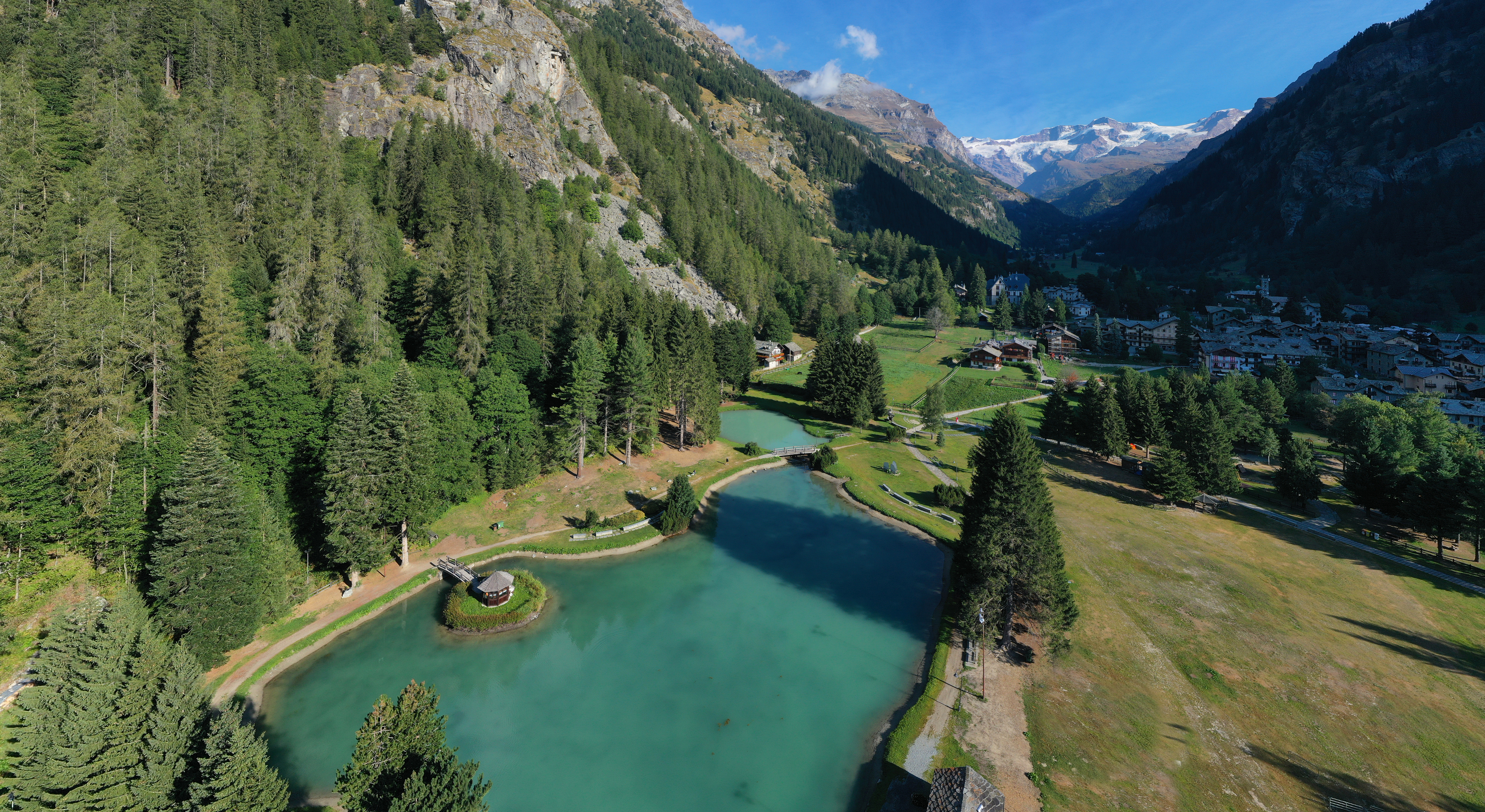
Seven small lakes in the Palasinaz basin above Brusson, a long-standing walking round of the Val d'Ayas.
Lago di Brusson
A lake among meadows at Brusson, with a lakeside path and playground on its shore.
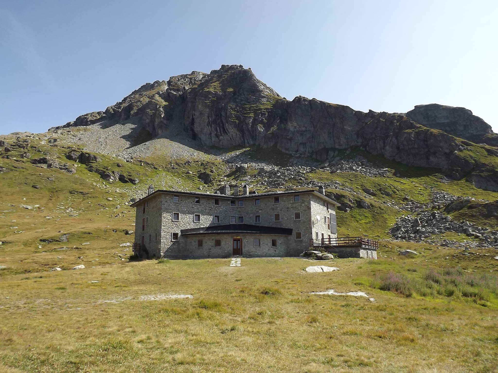
Rifugio Arp
A hut at 2,446 m on a grass terrace in the Palasinaz valley, among its lakes above Brusson.
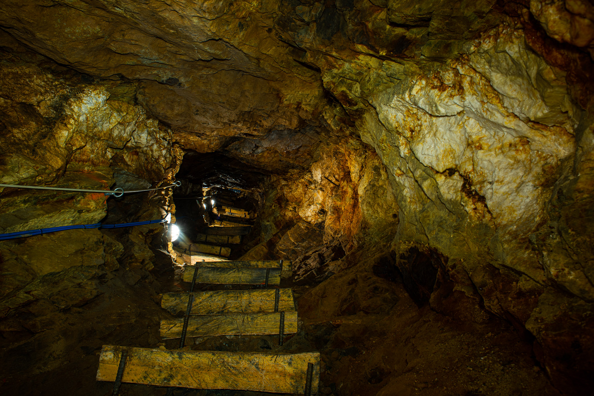
Miniere di Brusson
Gold workings in the Val d'Ayas at Brusson, driven along the Chamousira vein and open underground.
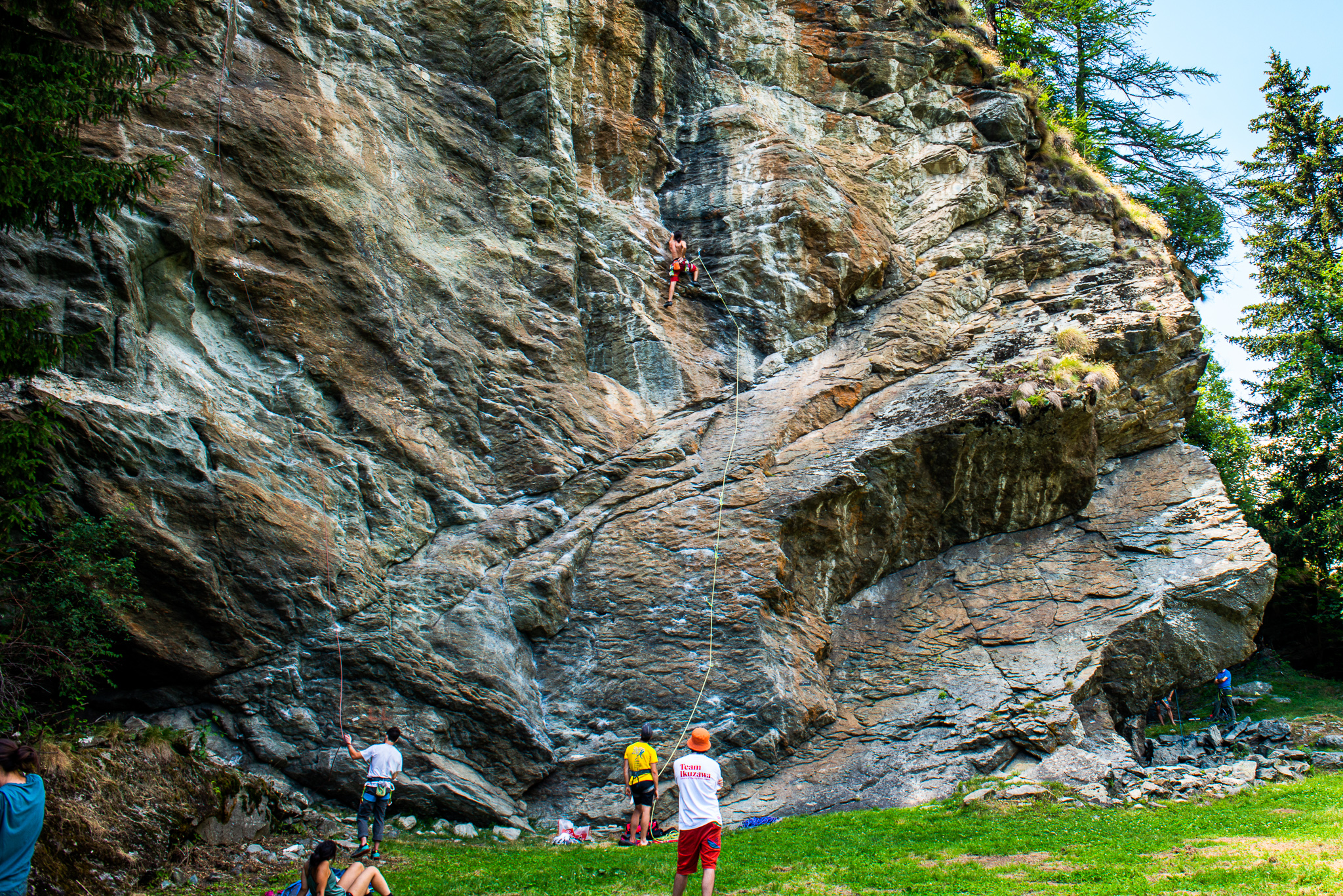
La Falesia di Extrapieraz
A sport-climbing crag at Extrapieraz above Brusson, with easy routes suited to families.
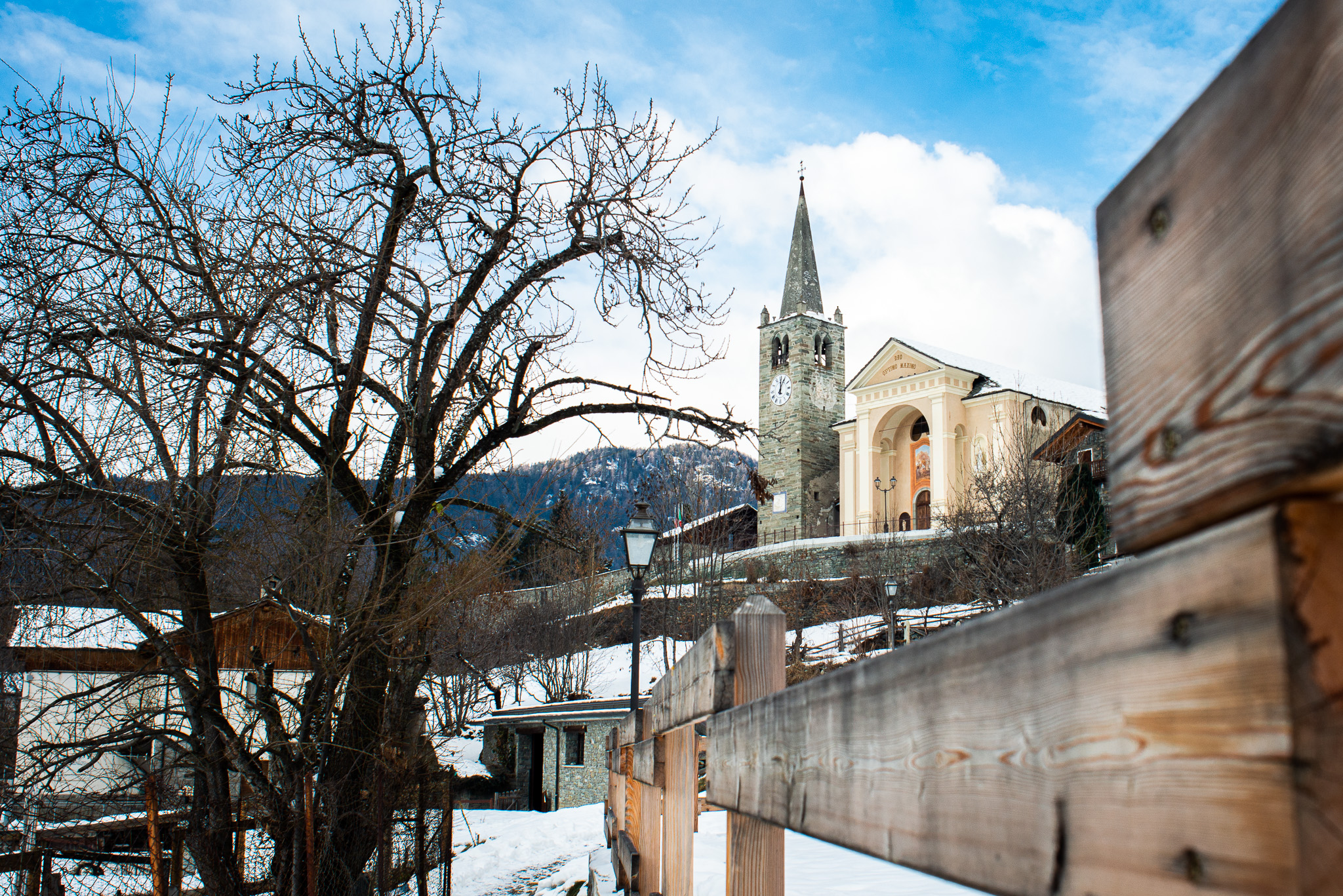
Chiesa di San Maurizio
The church of San Maurizio in upper Brusson, built between 1870 and 1873 to a design by Giuseppe Lancia.
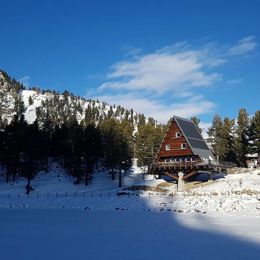
Casa Capriata-Rifugio Carlo Mollino
5.7 km away, in Gressoney-Saint-Jean
A hut in the Weissmatten ski area above 2,000 m, the Casa Capriata designed by the architect Carlo Mollino.
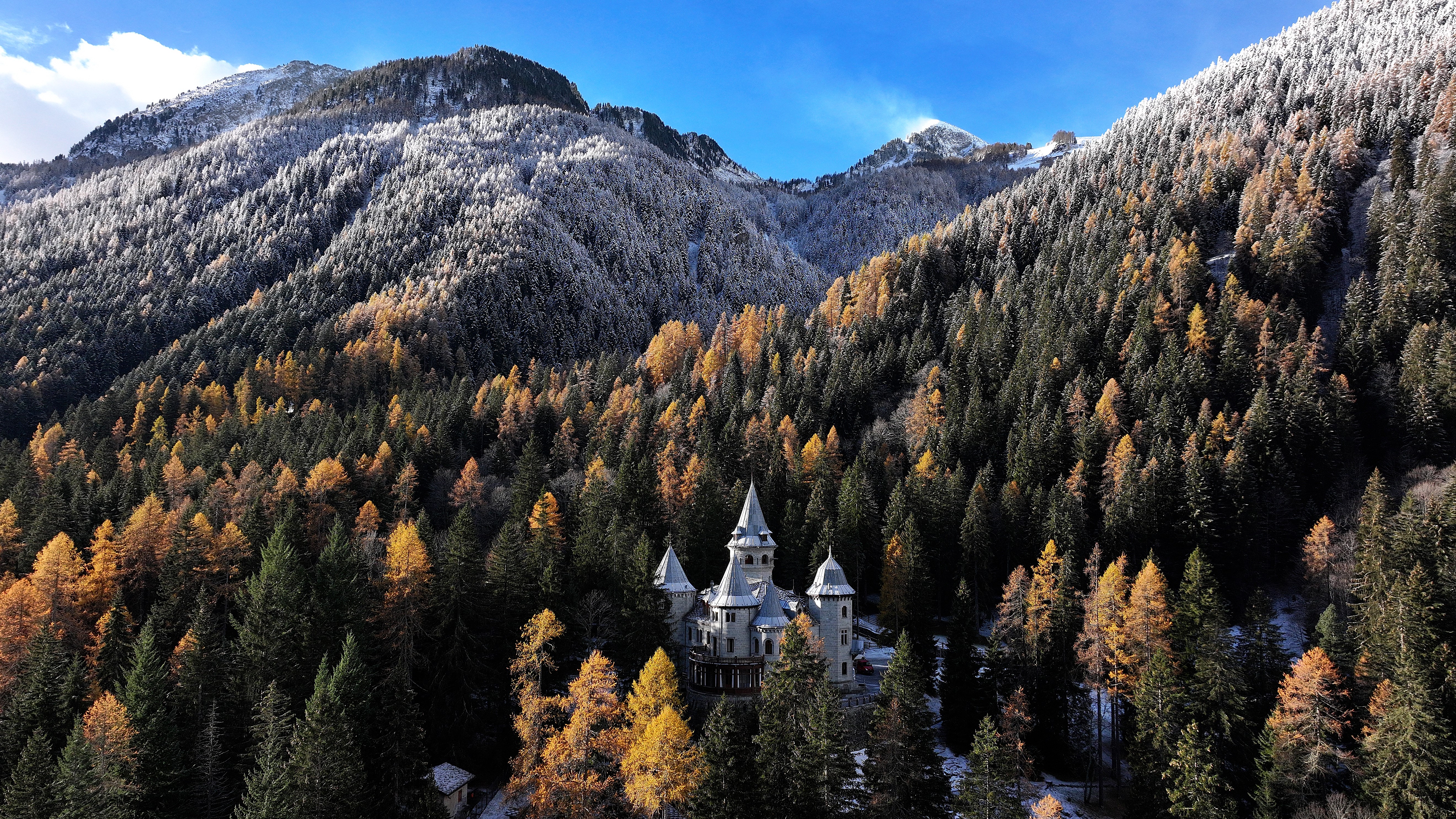
Castel Savoia
5.8 km away, in Gressoney-Saint-Jean
The fairytale residence built from 1899 for Queen Margherita above Gressoney-Saint-Jean, with five towers and its own park.
Lago Gover
5.9 km away, in Gressoney-Saint-Jean
A small lake in old conifer woods above Gressoney-Saint-Jean, with the Monte Rosa summits reflected on clear days.
Antagnod Antagnò
7.8 km away, in Ayas
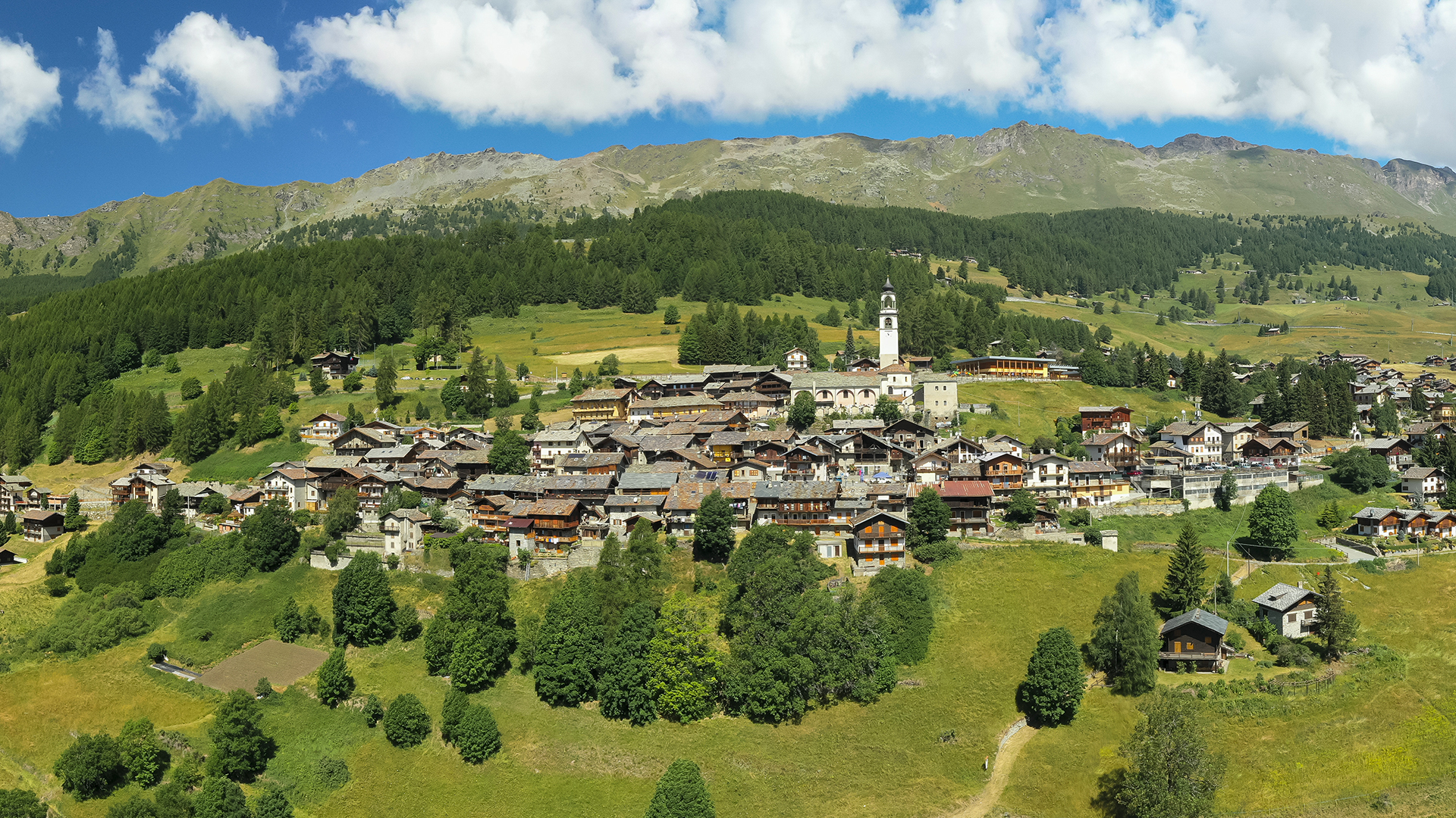
The village at the head of the Val d'Ayas, its town hall in the Ville Rivetti built by a family of Biella industrialists.
Ecomuseo Walser
9.4 km away, in Gressoney-La-Trinité
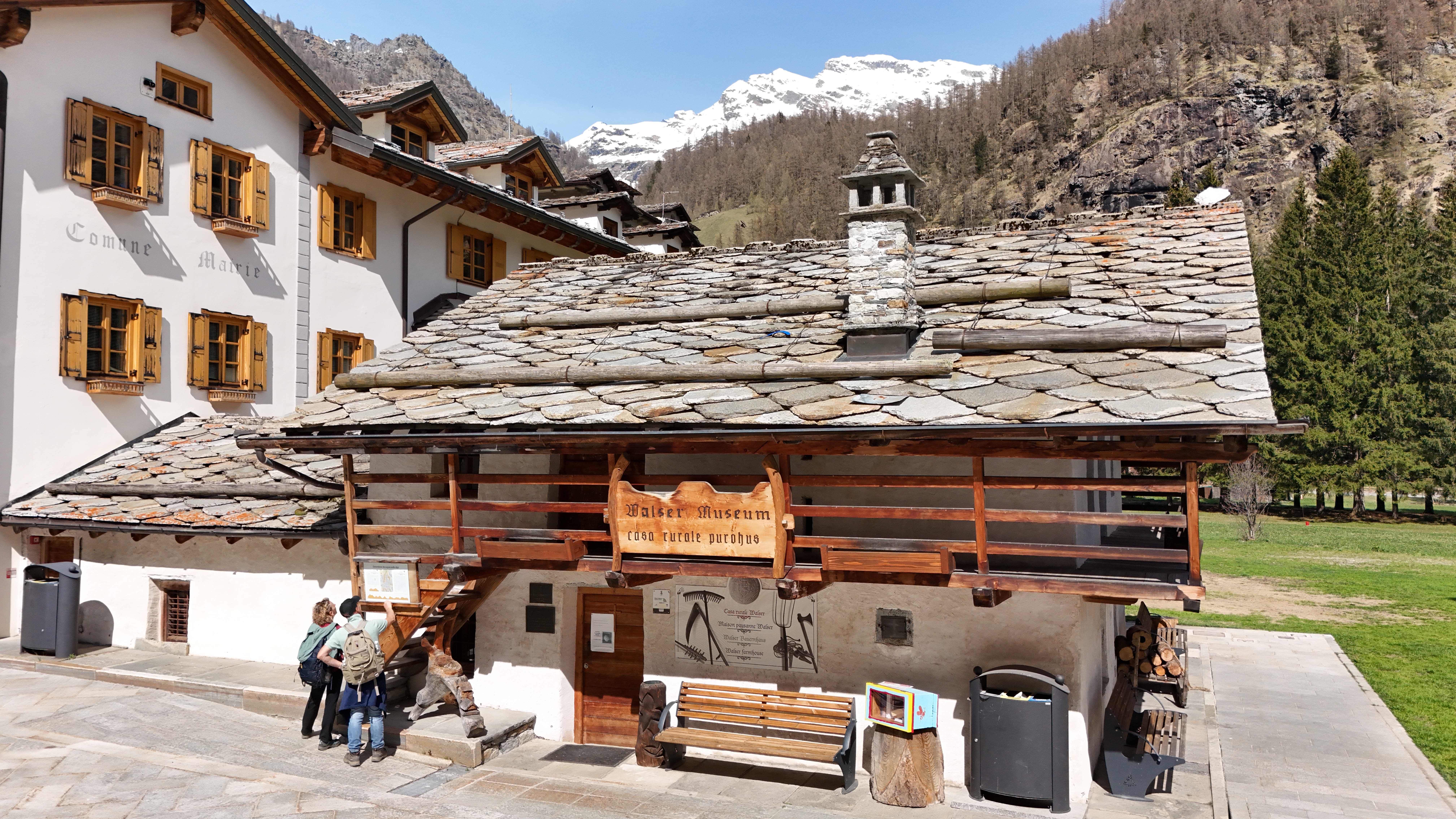
A Walser house at Gressoney kept as it was lived in, with the timber gallery and stone roof of the Lys valley.
Il Castello di Verrès
10.7 km away, in Verrès
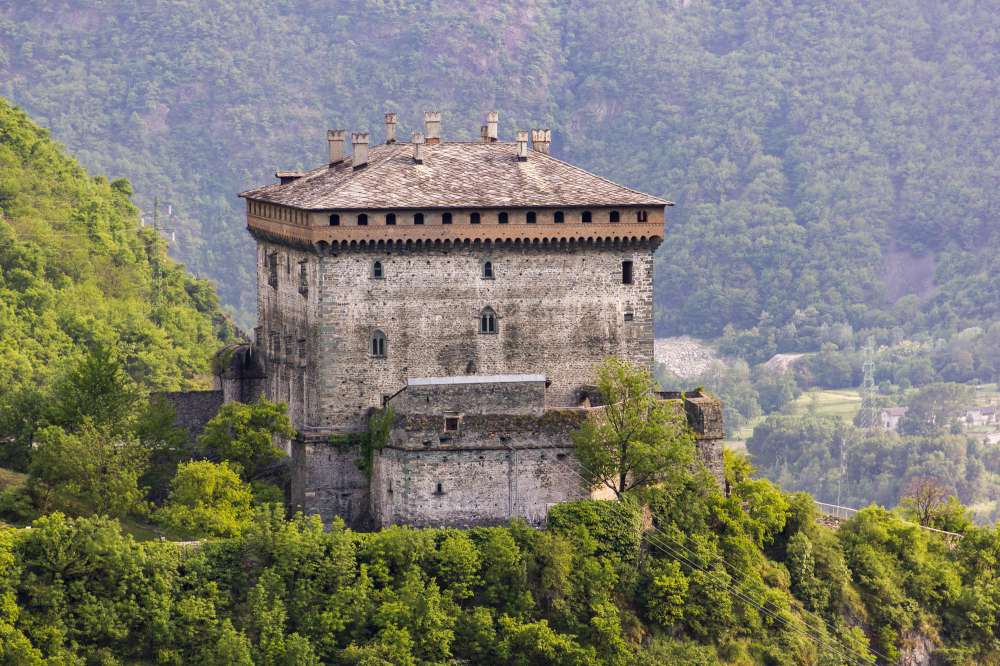
A single great cube of masonry above Verrès, built by Ibleto di Challant in the fourteenth century.
Nothing of this kind in Brusson.
Routes
11 from neighbouring places
La Pila
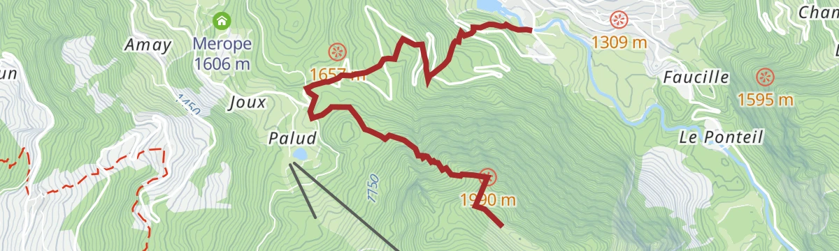
A short climb from the Brusson road towards Estoul and Palasinaz to the pasture of La Pila above the Val d'Ayas.
- 2.3 km
- Distance
- 312 m
- Ascent
- 1 h 16 min
- Duration
Brusson
A climb from the fitness trail at Guillates in Brusson up to Testa Comagna, on the ridge above the Ayas valley.
- 5.0 km
- Distance
- 819 m
- Ascent
- 3 h 8 min
- Duration
- 37
- Check-ins
Estoul
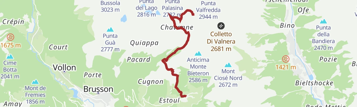
A climb from the parking at Estoul, on farm road and path, to the Battaglia lakes and on up to the Corno Bussola above Brusson.
- 8.6 km
- Distance
- 1 179 m
- Ascent
- 4 h 44 min
- Duration
- 71
- Check-ins
Rifugio Arp in E-bike
A steady paved climb out of Brusson by way of Estoul, gaining height above the Palasinaz lift station to reach Rifugio Arp at 2,439 m.
- 6.3 km
- Distance
- 569 m
- Ascent
- 58 min
- Duration
- 19
- Check-ins
Itinerario Bike: Circuito del Col de Joux
A road loop from Brusson over the Col Tzecore and the Col de Joux, both above 1,600 m, returning past the Lago di Brusson.
- 21.6 km
- Distance
- 629 m
- Ascent
- 2 h 30 min
- Duration
- 51
- Check-ins
 Stella Alpina 1 628 m
 Col Tzecore 1 607 m
 Lago di Brusson 1 291 m
- Col de Joux 1 639 m
- Hotel Au Foi 1 576 m
Laghi di Frudière
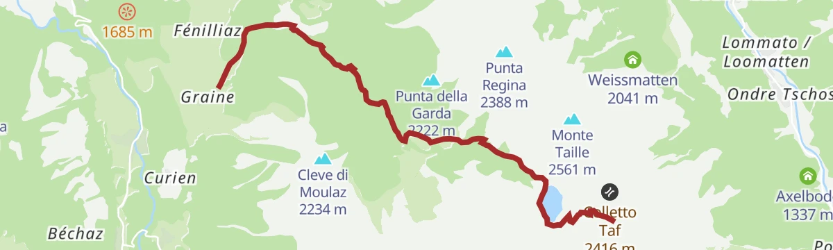
From Graines by surfaced farm road and then a mule track to the Charbonniere alpine pastures, climbing on to the Frudière lakes.
- 7.7 km
- Distance
- 892 m
- Ascent
- 3 h 43 min
- Duration
- 19
- Check-ins
- Lago di Frudière Superiore 2 240 m
- Colle Di Froudiere 2 271 m
- Lago di Frudière inferiore contiguo 2 030 m
Pont de Messuere
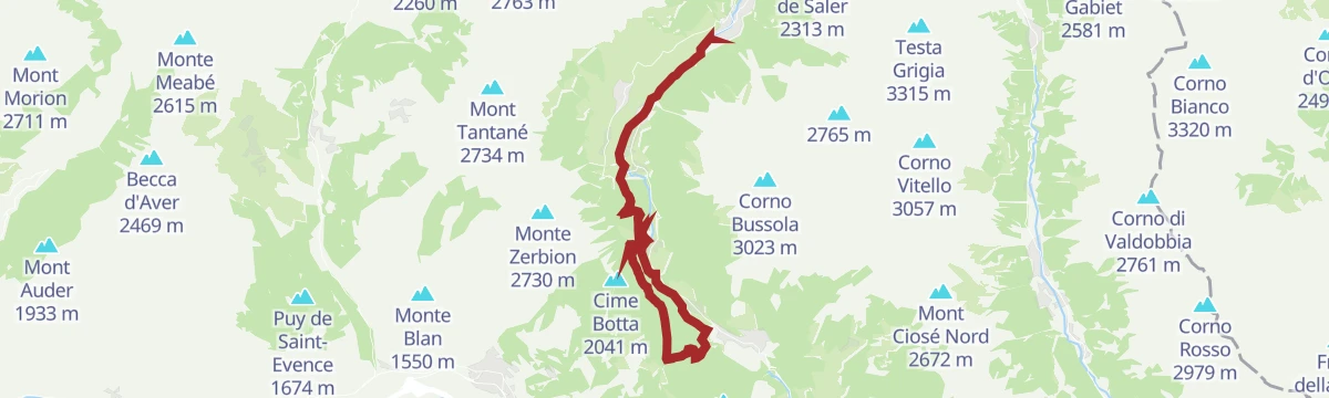
A steep climb from the Messouere bridge on the Estoul-Palasinaz road above Brusson, rising the whole way to the Corno Bussola.
- 6.4 km
- Distance
- 1 595 m
- Ascent
- 5 h 43 min
- Duration
- 41
- Check-ins
Itinerario bike: Le Ponteil
A short ride from Brusson by the Ru d'Arlaz to the Col d'Arlaz, passing the Orbeillaz waterfall.
- 16.7 km
- Distance
- 157 m
- Ascent
- 1 h 38 min
- Duration
- 22
- Check-ins
Itinerario bike: Champoluc
A climb from Champoluc over the Col de Joux to Brusson, on part of the Monterosa Prestige race course.
- 19.7 km
- Distance
- 578 m
- Ascent
- 2 h 17 min
- Duration
- 11
- Check-ins
Passo di Pra Bianco
5.7 km away, in Gressoney-Saint-Jean
An easy walk to the Pra Bianco pass above Gressoney-Saint-Jean, at the head of the Lys valley.
- 4.0 km
- Distance
- 318 m
- Ascent
- 2 h 3 min
- Duration
- 29
- Check-ins
Punta Jolanda
9.8 km away, in Gressoney-La-Trinité
A short climb above Gressoney-La-Trinité from Edelboden up to Bedemi at about 1,900 m, following the line of the lifts.
- 8.6 km
- Distance
- 587 m
- Ascent
- 1 h 30 min
- Duration
- 17
- Check-ins
Monte Rosa WalserWaeg 15 km
5.9 km away, in Gressoney-Saint-Jean
A long stretch of the Walser Weg through the Lys valley, linking the German-speaking hamlets below Monte Rosa.
- 15.4 km
- Distance
- 571 m
- Ascent
- 5 h 1 min
- Duration
- 83
- Check-ins
Valle dei Principi
6.2 km away, in Gressoney-Saint-Jean
A climb into the Valle dei Principi above Gressoney-Saint-Jean, wooded at first and then open pasture.
- 7.5 km
- Distance
- 782 m
- Ascent
- 4 h 46 min
- Duration
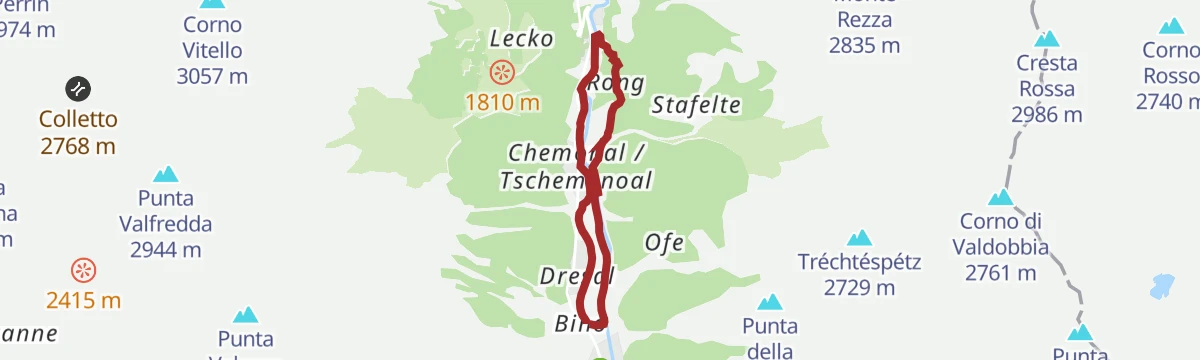
Rong
6.2 km away, in Gressoney-Saint-Jean
An easy, nearly level walk to Rong on the valley floor at Gressoney-Saint-Jean.
- 4.7 km
- Distance
- 111 m
- Ascent
- 1 h 22 min
- Duration
Col Bettaforca
12.1 km away, in Gressoney-La-Trinité
A climb from Stafal past Rifugio Jutz and Ristoro Sitten to the pass at 2,672 m at the head of the Gressoney valley.
- 10.9 km
- Distance
- 852 m
- Ascent
- 2 h 6 min
- Duration
- 88
- Check-ins
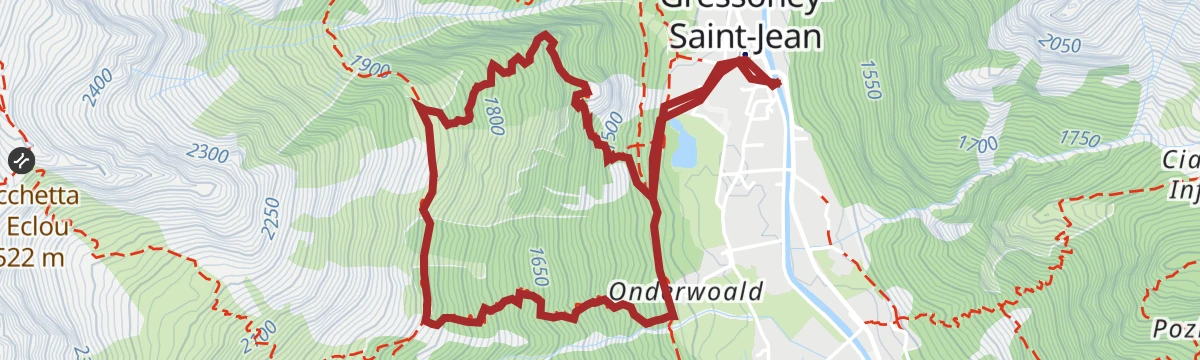
Bocchetta di Eclou
5.9 km away, in Gressoney-Saint-Jean
A steep climb from Gressoney-Saint-Jean to the Bocchetta di Eclou on the ridge above the Lys valley.
- 8.0 km
- Distance
- 1 146 m
- Ascent
- 6 h 38 min
- Duration
- 3
- Check-ins
Sentiero dei villaggi Walser
6.2 km away, in Gressoney-Saint-Jean
A nearly level route linking the Walser hamlets of the Lys valley around Gressoney-Saint-Jean.
- 12.6 km
- Distance
- 236 m
- Ascent
- 3 h 32 min
- Duration
- 22
- Check-ins
Alpenzu Piccolo
7.8 km away, in Gressoney-Saint-Jean
A short climb from the floor of the Lys valley to Alpenzu Piccolo, one of the old Walser hamlets above Gressoney.
- 3.1 km
- Distance
- 342 m
- Ascent
- 2 h 4 min
- Duration
Sentiero Walser
5.9 km away, in Gressoney-Saint-Jean
A long section of the Walser path above Gressoney-Saint-Jean, working between the German-speaking hamlets of the Lys valley.
- 15.3 km
- Distance
- 1 030 m
- Ascent
- 6 h 36 min
- Duration
- 37
- Check-ins
Alpe Jatza
6.2 km away, in Gressoney-Saint-Jean
A climb from Gressoney-Saint-Jean to the Alpe Jatza, a pasture on the slopes above the Lys valley.
- 5.9 km
- Distance
- 547 m
- Ascent
- 3 h 25 min
- Duration
- 19
- Check-ins
No routes of this kind in Brusson yet.
The region's own picks

Featured route
La Pila
A short climb from the Brusson road towards Estoul and Palasinaz to the pasture of La Pila above the Val d'Ayas.
Planning a trip to Brusson?
Everything else Aosta Valley has, in one place


Take Brusson with you into the mountains
Every route on this page with 3D terrain, GPX navigation and offline maps — including the valleys with no signal.
Data sources
- Official website: lovevda.it ↗
- Routes and highlights: Visit Monterosa, Monterosa Outdoor
- Published as open data by the tourist boards named above.
- Region summary generated from the board's own material.
