
Curated by Valdirabbi
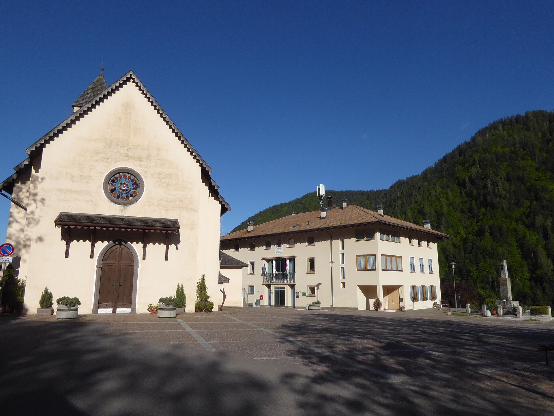
Bresimo
Val di Bresimo comune of three small settlements, at the edge of the Stelvio park under the Ortles group.
Photo: Syrio · CC BY-SA 4.0 licence
- 15Highlights
- 8Routes
- Featured summit · Monte Pin
Highlights
All 15 from neighbouring places
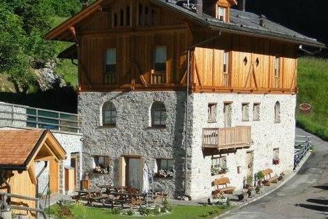
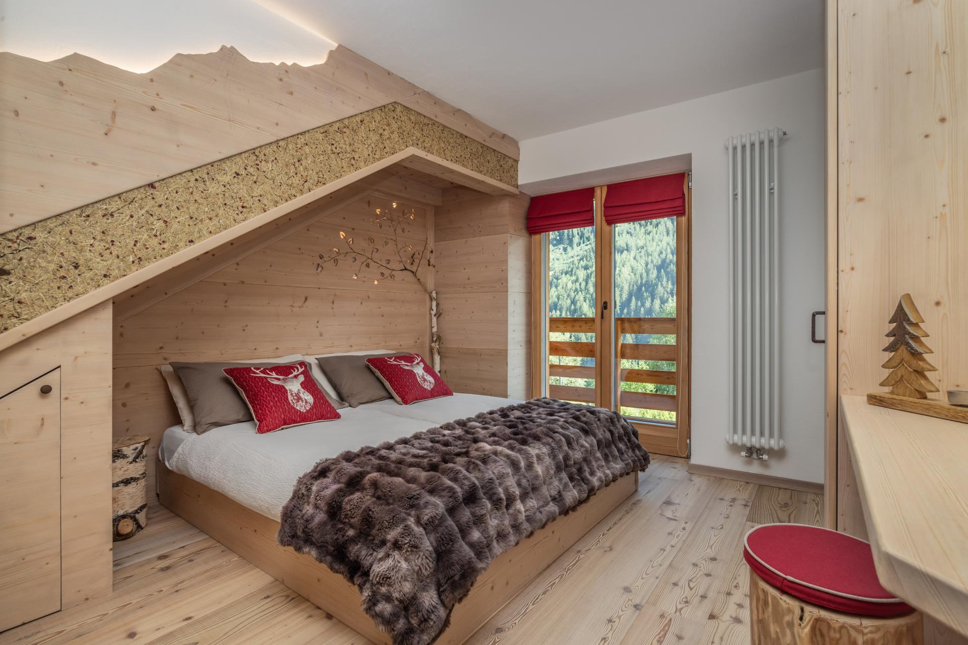
Chalet Val di Rabbi
6.6 km away, in Rabbi
An eighteenth-century farmhouse in Rabbi, converted for walkers and skiers.
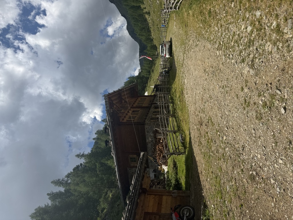
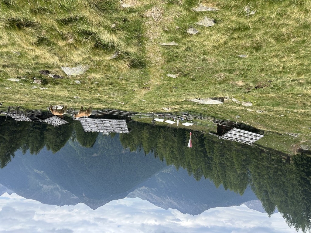
Malga Kirchberg
6.6 km away, in Ultimo/Ulten
A dairy hut on the Kirchberg pastures of the Ultental, reached by the track that climbs from the valley road above Ultimo.
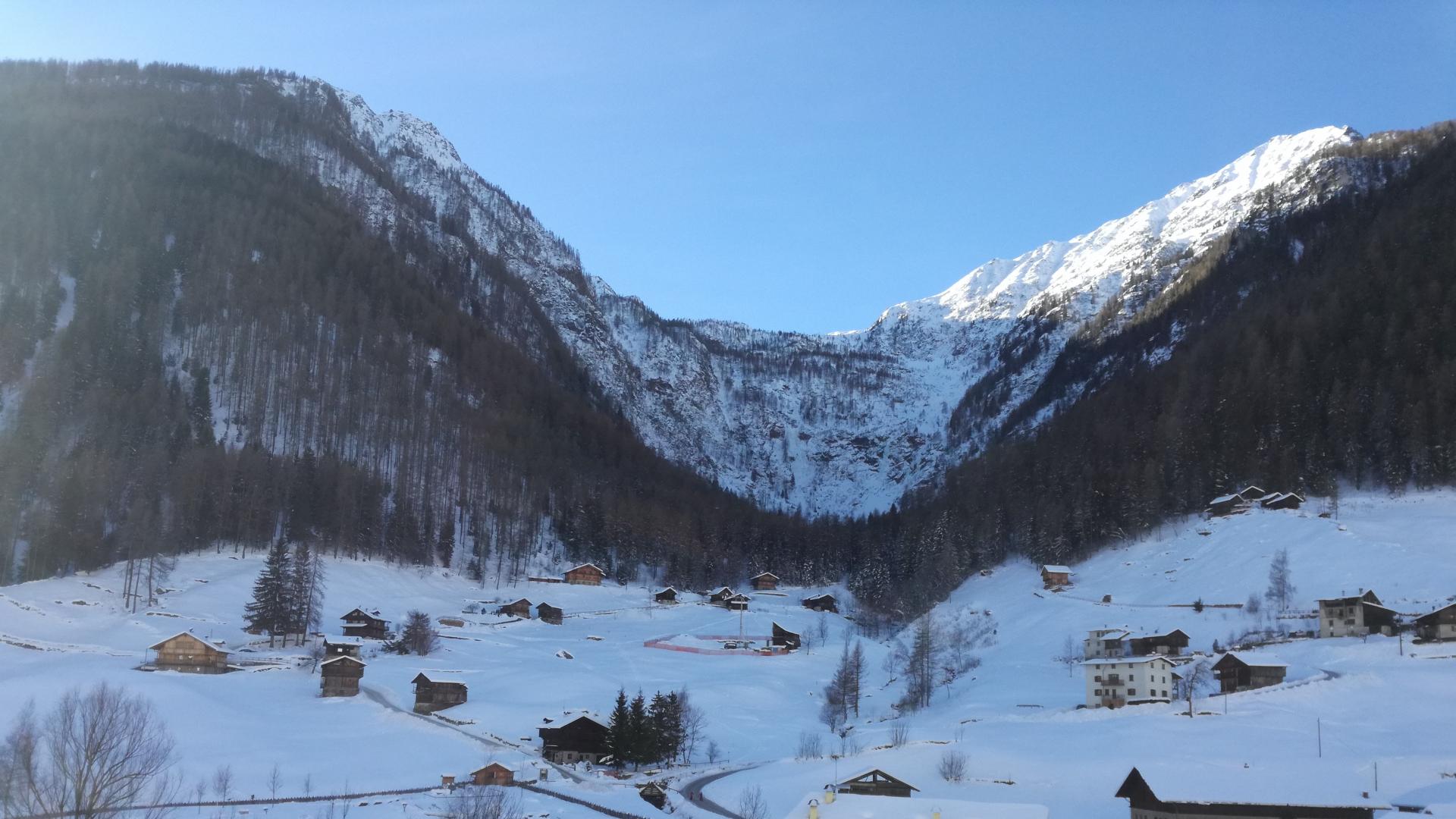
Sterzing, Pfitsch und FreienfeldCascate di Valorz
6.7 km away, in Rabbi
A waterfall in the Val di Rabbi reached through the Valorz farmsteads, inside the Stelvio national park.
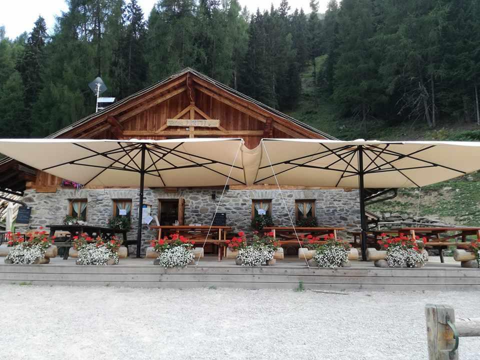
Malga Caldesa Bassa
6.9 km away, in Rabbi
A summer dairy pasture in the Val di Rabbi, open to walkers in the Stelvio national park.
Baita L'Anda
7.6 km away, in Rabbi
A restored farmhouse hut at Piazzola di Rabbi, at 1,300 m in the Stelvio national park.
Rifugio Lago Corvo
8.2 km away, in Rabbi
A hut at the Lago Corvo, where the Val di Rabbi meets the southern end of the Val d'Ultimo.
Malga Fiecht
9.1 km away, in Ultimo/Ulten
A dairy hut on the Fiecht pastures of the Ultental, in the comune of Ultimo, above the farms on the valley floor.
Sterzing, Pfitsch und FreienfeldMAS DEL MEZDI'
9.3 km away, in Rabbi
A detached chalet at Somrabbi in the Val di Rabbi, inside the Stelvio national park.
Malga Kaserfeld
9.8 km away, in Ultimo/Ulten
A dairy hut on the Kaserfeld pastures of the Ultental, on the slopes below the ridge that closes the valley to the south.
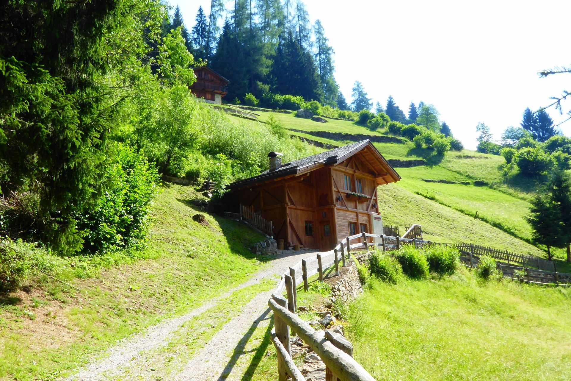
Sterzing, Pfitsch und FreienfeldBambi Chalet
10 km away, in Rabbi
A converted hay barn in the Val di Rabbi, kept as it was built, in the Stelvio national park.
Malga Fratte
11.1 km away, in Rabbi
A dairy pasture in the lower Val di Rabbi, on the paths into the Stelvio national park.
Malga Monte Sole
12.1 km away, in Rabbi
A dairy pasture on the sunny side of the Val di Rabbi, in the Stelvio national park.
Malga Maleda
13.6 km away, in Rabbi
The Stablaz Alta pasture, also called Maleda Alta, high on the eastern side of the Val di Rabbi.
Rifugio Silvio Dorigoni
13.9 km away, in Rabbi
A CAI hut in the Val Saent, the wildest side valley of Rabbi, below the Cevedale ridge.
Malga Manzara (Stierberg)
9.1 km away, in Proves/Proveis
A dairy hut on the Stierberg pastures above Proves, between the Val di Non and the Val d'Ultimo.
Sterzing, Pfitsch und Freienfeld
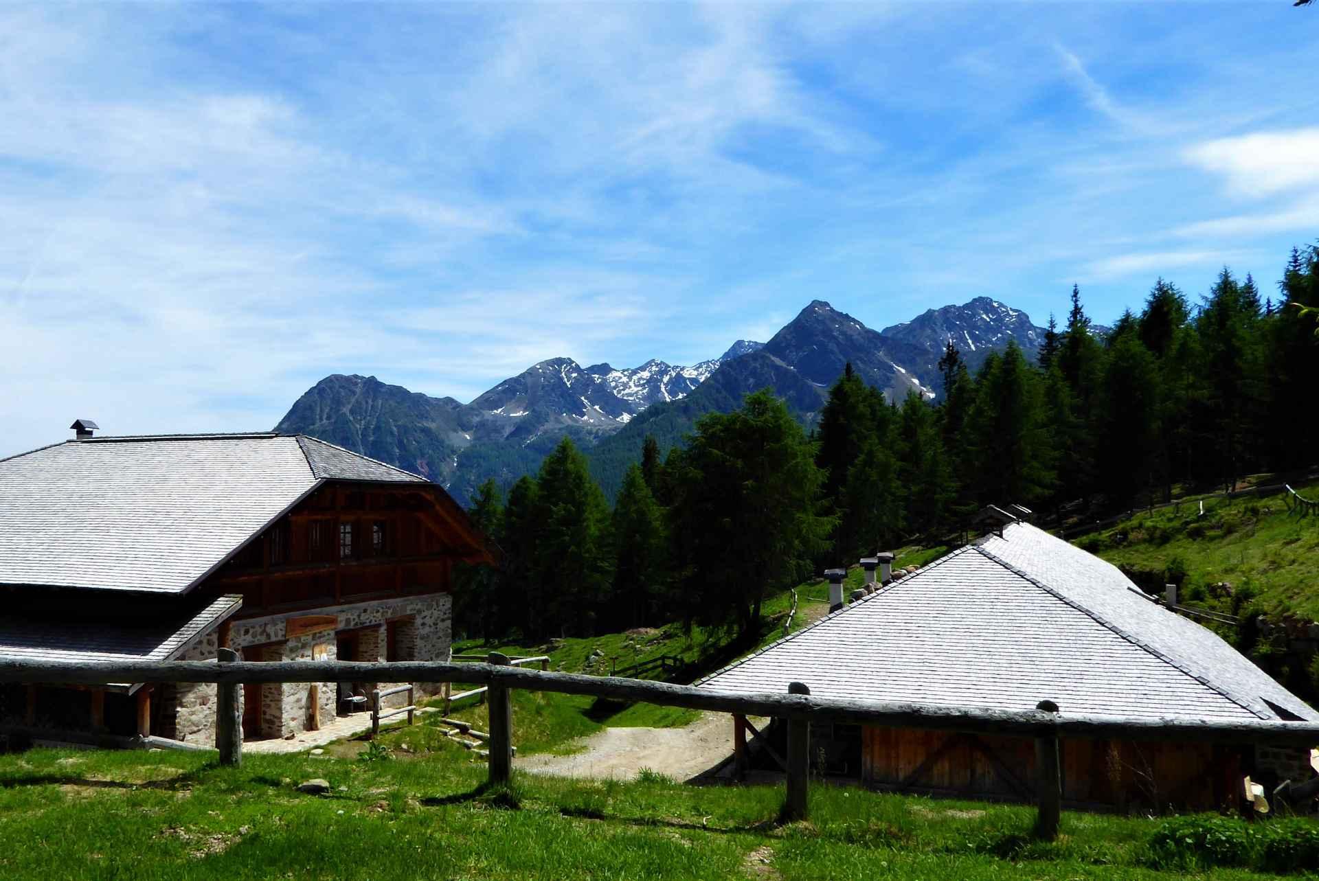
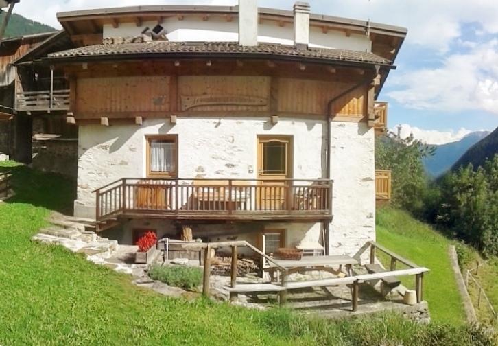
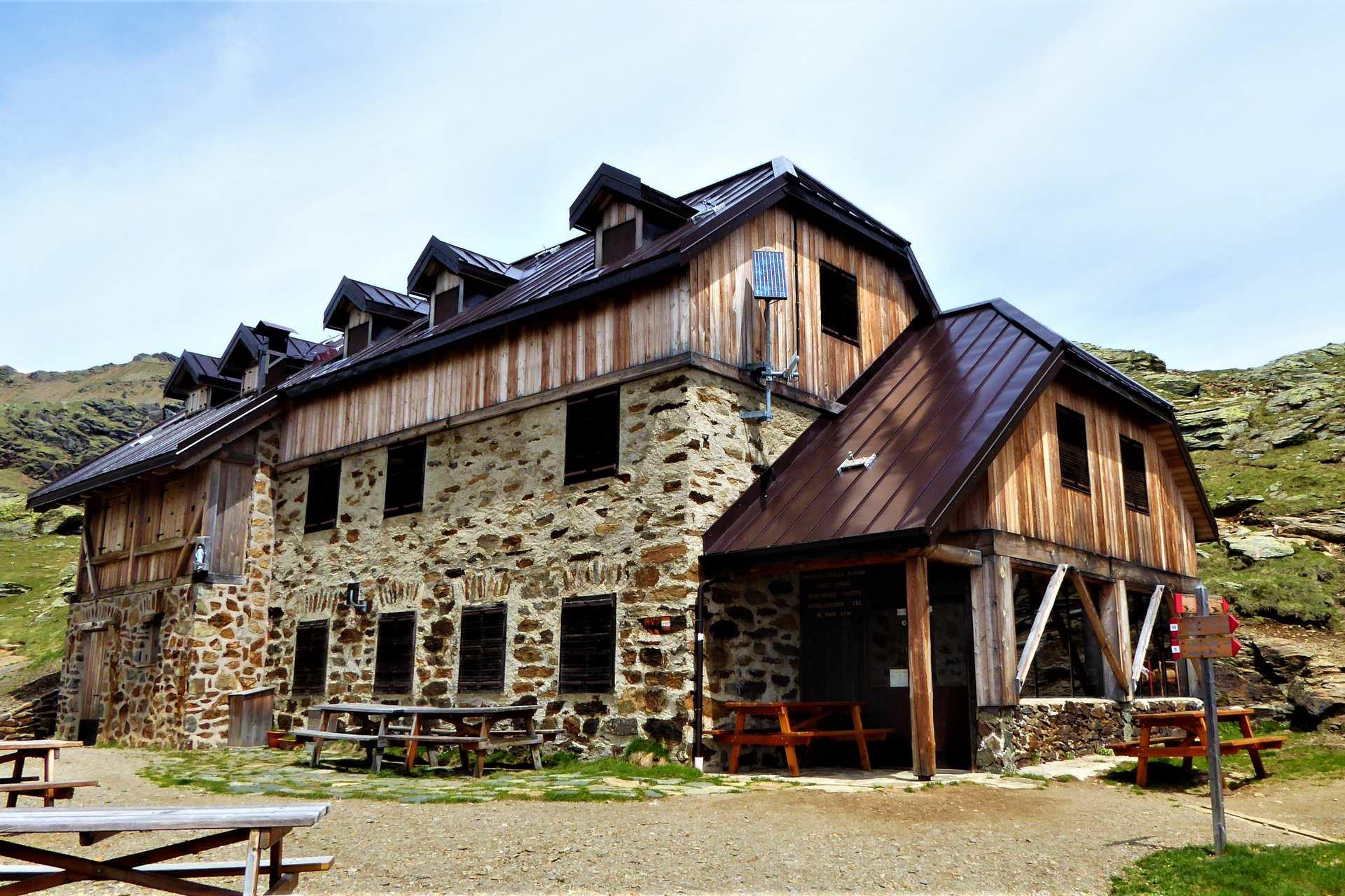
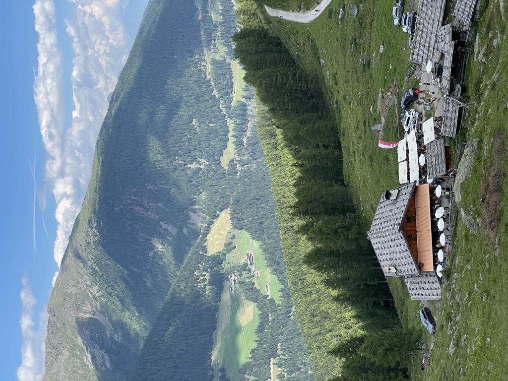
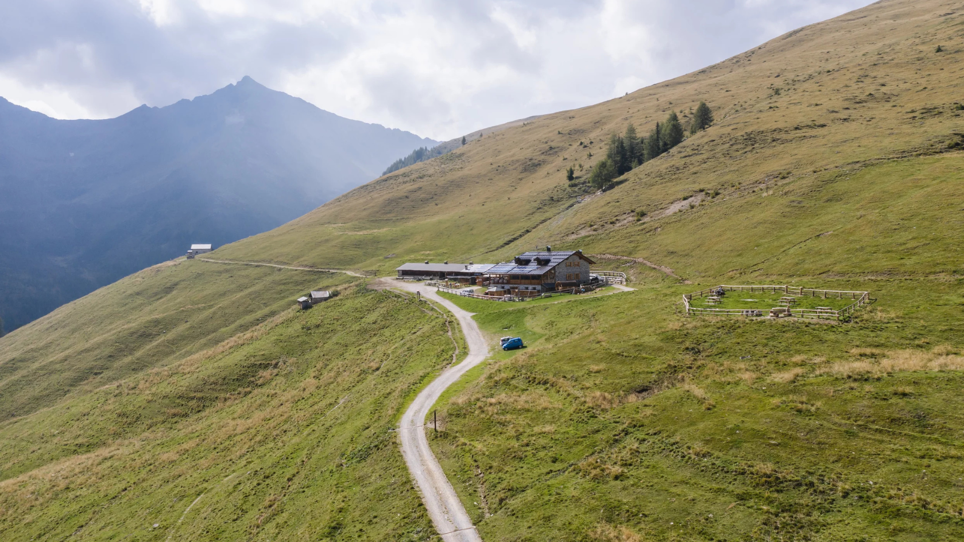
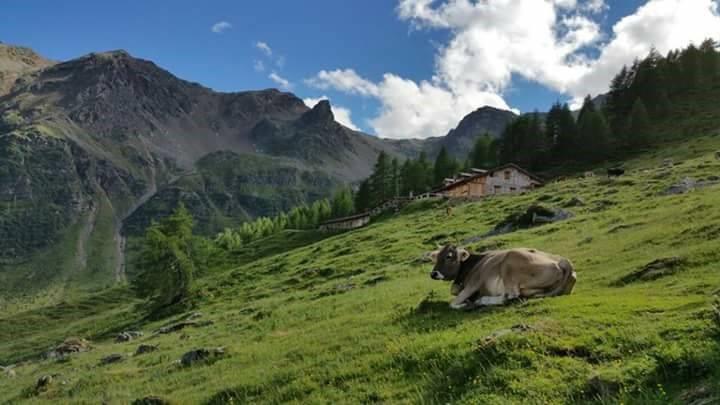
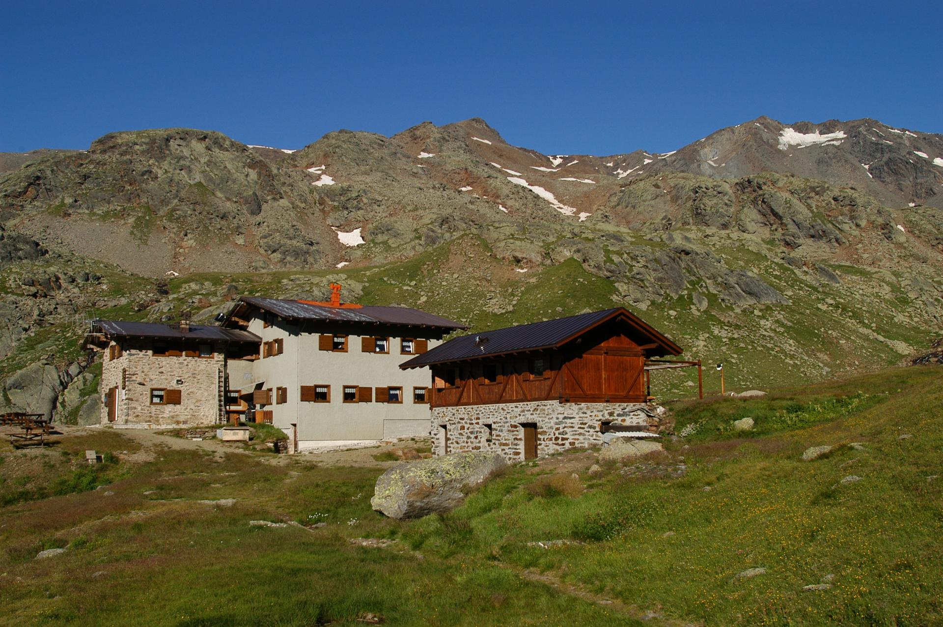
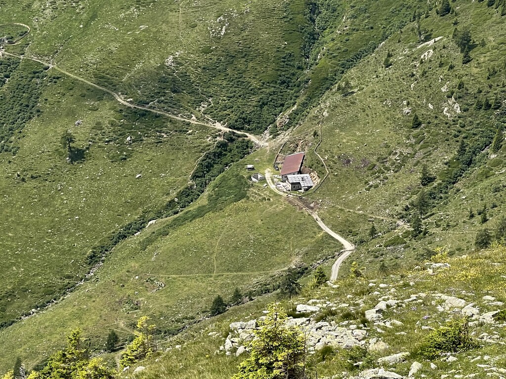
Nothing of this kind in Bresimo.
Routes
12 from neighbouring places
Crossing 133 Aldo Bonacossa, stage 4: Malga Bordolona - Rabbi, Locality Val
The last stage of the Bonacossa crossing, leaving the Maddalene behind and dropping to the wooden farmsteads of the Val di Rabbi.
- 6.2 km
- Distance
- 315 m
- Ascent
- 3 h 50 min
- Duration
- 18
- Check-ins
Open route APT Val di NonVal di Bresimo Trekking – Lake Alplaner
A steep climb on open ground above the Val di Bresimo to the Alplaner lakes, in the pastures under the Maddalena ridge.
- 3.9 km
- Distance
- 620 m
- Ascent
- 2 h 25 min
- Duration
- 22
- Check-ins
 Malga Bordolona di Sotto 1 806 m
- Malga Bordolona di Sopra 2 084 m
 Alplahnerscharte - Passo Alplaner 2 424 m
Open route APT Val di NonCrossing 133 Aldo Bonacossa, stage 3: Rifugio Maddalene - Malga Bordolona
The longest leg of the Bonacossa crossing, from the Maddalene hut over the Passo Binasia to the Malga Bordolona, with three bivouacs on the way.
- 15.9 km
- Distance
- 942 m
- Ascent
- 6 h 15 min
- Duration
- 25
- Check-ins
- Rifugio Maddalene 1 925 m
- Malga Bordolona di Sopra 2 084 m
- Bivacco Malga Val 1 933 m
- Bivacco Forestale 1 830 m
- Malga Masa Murada 2 046 m
- Malga Binasia di Sopra 2 138 m
- +1
Open route APT Val di NonFrom Bresimo to the panoramic Altaguardia Castle
A short climb from Bresimo to the ruins of Altaguardia, a thirteenth-century castle on a spur and the highest in Trentino.
- 4.5 km
- Distance
- 343 m
- Ascent
- 2 h 14 min
- Duration
Open route APT Val di NonTorrente Barnes B
A near-level route along the Barnes torrent in the Val di Bresimo, on the valley floor below the pastures.
- 11.3 km
- Distance
- 0 m
- Ascent
- 3 h 42 min
- Duration
- 3
- Check-ins
Open route Trentino FishingExcursion to Lake Trenta in the wild heart of the Maddalena Group
A ring from the Malga Bordolona to Lake Trenta, turning the peak of the same name and returning through the Val Clapa.
- 10.3 km
- Distance
- 874 m
- Ascent
- 5 h 34 min
- Duration
- 25
- Check-ins
- Malga Bordolona di Sotto 1 806 m
- Malga Bordolona di Sopra 2 084 m
- Alplahnerscharte - Passo Alplaner 2 424 m
- Malga Scalet di Sotto 1 900 m
- Klapfbergjoch - Passo di Val Clapa 2 295 m
Open route APT Val di NonCircular hike to Monte Pin
A long ring by forest road to the Malga Binasia at 2,138 metres, then up steep grass to the summit of Monte Pin.
- 19.3 km
- Distance
- 1 488 m
- Ascent
- 9 h 40 min
- Duration
- 13
- Check-ins
 Monte Pin 2 420 m
- Malga Binasia di Sopra 2 138 m
- Malga Borca di sotto 1 844 m
- Malga Binasia di Sotto 2 013 m
- ruderi Malga Borca di sopra 2 010 m
- Terme di Bresimo 1 053 m
Open route APT Val di NonCammino Jacopeo d'Anaunia
The stage from Rumo to Terzolas, crossing the Val di Bresimo to reach the Val di Sole.
- 23.8 km
- Distance
- 823 m
- Ascent
- 7 h 47 min
- Duration
Tour 1429 – Ziro del lez: An old irrigation canal used as an MTB trail
7.4 km away, in Rumo
A singletrack outing above Rumo under the Maddalene ridge, following the disused water channels of Val Lavazzè from Corte Superiore via Mocenigo.
- 12.9 km
- Distance
- 444 m
- Ascent
- 1 h 34 min
- Duration
Open route APT Val di NonE-bike classico anello attorno a Rumo
7.5 km away, in Rumo
A loop entirely on tarmac lanes carrying very little traffic, taking in the scattered hamlets of Rumo in western Trentino.
- 25.4 km
- Distance
- 665 m
- Ascent
- 2 h 53 min
- Duration
Race Val di Sole Marathon
7.7 km away, in Malé
The Val di Sole marathon course, a national gran fondo route over Monte Vigo by the Orso Bruno hut.
- 57.3 km
- Distance
- 3 116 m
- Ascent
- 8 h 26 min
- Duration
- 153
- Check-ins
- Monte Vigo 2 179 m
- Rifugio Orso Bruno 2 200 m
- Rifugio Alpe Daolasa 2045 2 041 m
- Malga Panciana 1 886 m
- Rosalpina 1 871 m
- Rifugio Solander 2 045 m
- +12
Open route APT Valli di Sole, Peio e RabbiSki mountaineering on Mount Sole
9.1 km away, in Rabbi
A ski ascent on a broad forest road, partly pisted, over the Cercen bridge and past Malga Fassa up to Malga Monte Sole above the Val di Rabbi.
- 7.1 km
- Distance
- 811 m
- Ascent
- 0 m
- Descent
- 2 h 37 min
- Duration
- 18
- Check-ins
Open route APT Valli di Sole, Peio e RabbiSki mountaineering on Monte Sole
9.2 km away, in Rabbi
A winter ascent of Monte Sole, a peak that holds good snow and looks out along the length of the Val di Rabbi.
- 13.3 km
- Distance
- 1 084 m
- Ascent
- 1 083 m
- Descent
- 4 h 40 min
- Duration
- 15
- Check-ins
Open route VisitTrentinoCiclabile Dermulo
14.2 km away, in Predaia
A short, flat cycle path on the floor of the Val di Non, running between Dermulo, Segno and Mollaro below the village of Taio.
- 8.6 km
- Distance
- 20 m
- Ascent
- 51 min
- Duration
Stabli Loop Trail - Laghetti Variant No. 726 A
14.5 km away, in Mezzana
A short bike loop from Malga Stabli, climbing by dirt road to about 1,770 m and coming back down the Stabli trail.
- 5.7 km
- Distance
- 339 m
- Ascent
- 54 min
- Duration
- 18
- Check-ins
Open route APT Valli di Sole, Peio e RabbiTorrente Lavazzè L
4.7 km away, in Rumo
A near-level route following the Lavazzè torrent up its valley above Rumo, close to the water.
- 10.9 km
- Distance
- 29 m
- Ascent
- 3 h 38 min
- Duration
Open route Trentino FishingNK1 Le Marinolde Inferiore
6.1 km away, in Rabbi
A short level walk at Le Marinolde on the floor of the Rabbi valley, inside the Stelvio National Park and reached directly from the valley road.
- 1.2 km
- Distance
- 14 m
- Ascent
- 23 min
- Duration
Open route Trentino FishingIl lago della Poinella nel Gruppo delle Maddalene
6.4 km away, in Rumo
A climb into a wild corner of the Maddalene where the small Poinella lake sits below sharp peaks on the South Tyrol border.
- 11.2 km
- Distance
- 1 061 m
- Ascent
- 6 h 36 min
- Duration
- 9
- Check-ins
Quick Tour Predaia MTB
14.9 km away, in Predaia
A short forest-road round on the plateau above Coredo, taking in Lago di Tavon and the old sawmill clearing at Palù.
- 14.0 km
- Distance
- 407 m
- Ascent
- 1 h 37 min
- Duration
- 6
- Check-ins
Open route APT Val di NonClassic e-bike circular route around Rumo
7.5 km away, in Rumo
A loop out of Rumo, dropping on hairpin bends to località Frari and the apple orchards above Lago di Santa Giustina before a shaded climb back.
- 25.4 km
- Distance
- 666 m
- Ascent
- 2 h 53 min
- Duration
Open route APT Val di Non


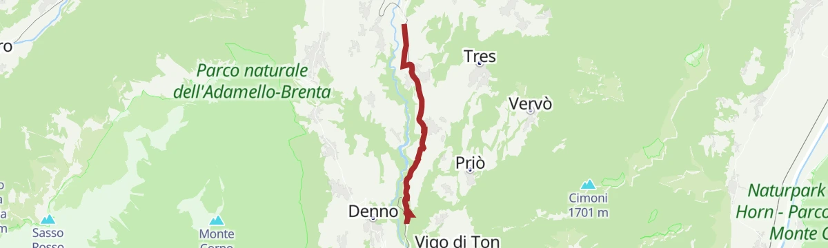


No routes of this kind in Bresimo yet.
The region's own picks

Featured route
Crossing 133 Aldo Bonacossa, stage 4: Malga Bordolona - Rabbi, Locality Val
The last stage of the Bonacossa crossing, leaving the Maddalene behind and dropping to the wooden farmsteads of the Val di Rabbi.
Planning a trip to Bresimo?
Everything else Trentino-Alto Adige/Südtirol has, in one place


Take Bresimo with you into the mountains
Every route on this page with 3D terrain, GPX navigation and offline maps — including the valleys with no signal.
Data sources
- Official website: visittrentino.info ↗
- Routes and highlights: Valdirabbi, APT Val di Non, Sterzing, Pfitsch und Freienfeld, Visit Trentino, Trentino Fishing, APT Valli di Sole, Peio e Rabbi, VisitTrentino
- Published as open data by the tourist boards named above.
- Region summary generated from the board's own material.
