
 Historic site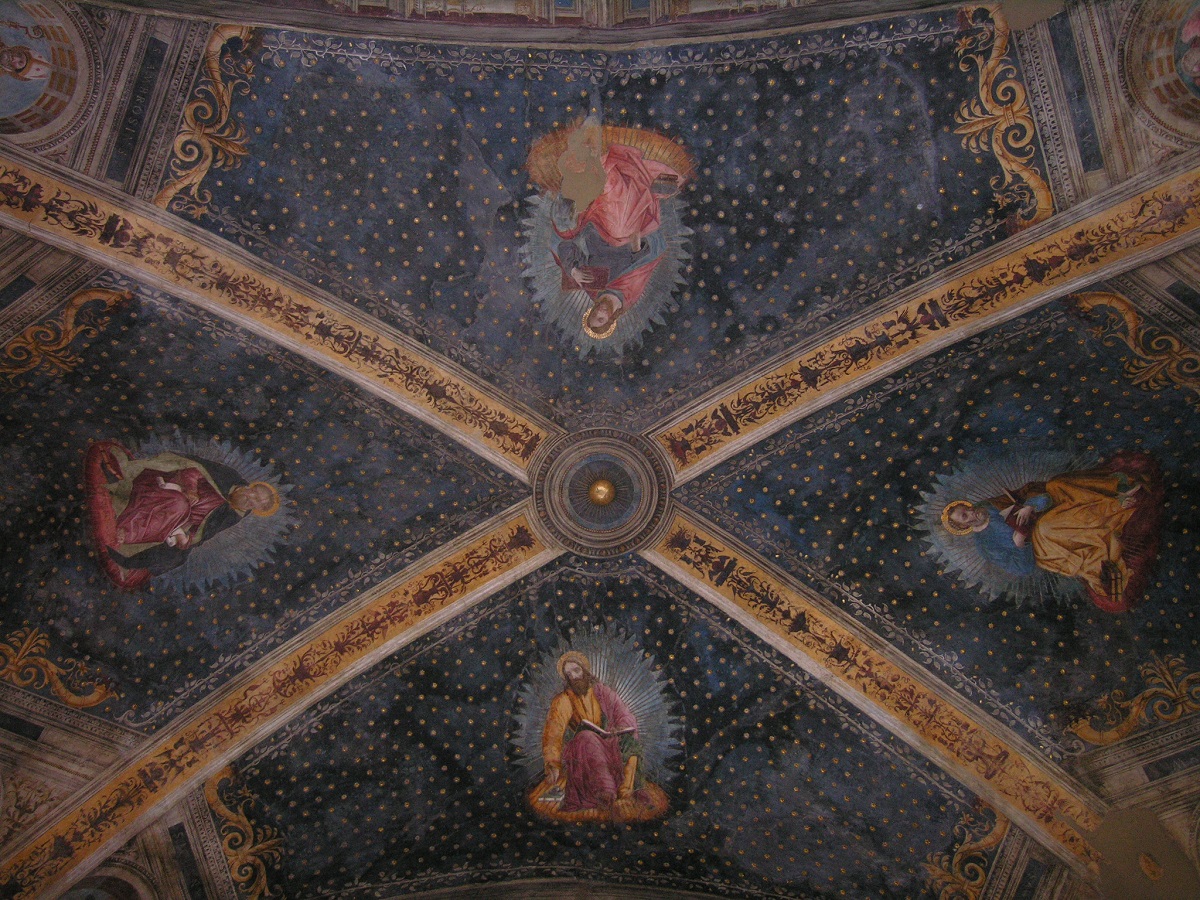











Curated by APT Madonna di Campiglio, Pinzolo, Val Rendena
Breno
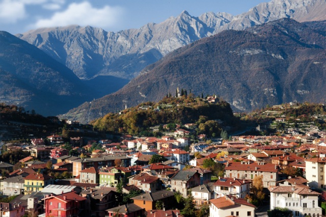
The Val Camonica's district town under a rock-top castle, midway along the Oglio between Darfo and Edolo.
- 3Highlights
- 6Routes
- Featured summit · Torre del Lago
Highlights
4 from neighbouring places
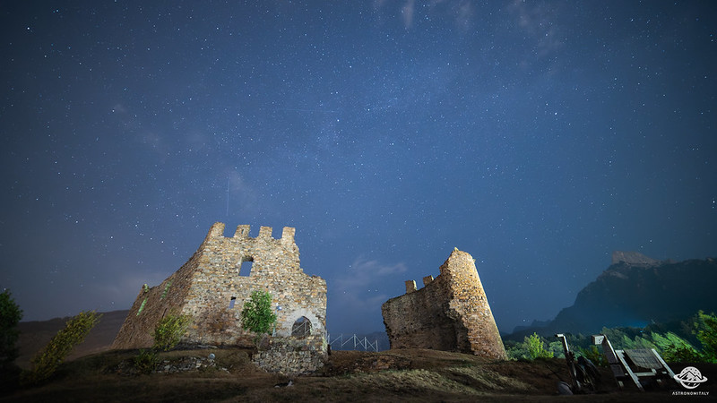
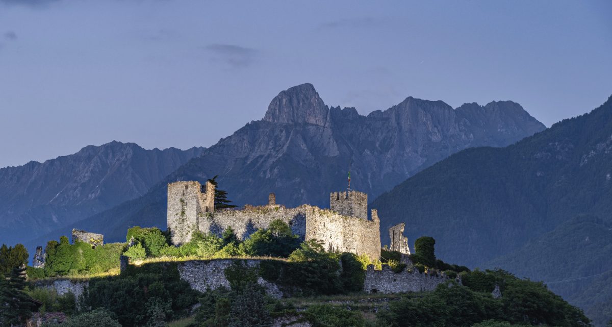
Castello di Breno
A medieval castle on the rock above Breno, looking down the Val Camonica.
Chiesa di S. Antonio Abate di Breno
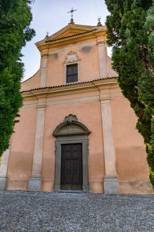
The Gothic church of Sant'Antonio Abate in Breno, a Camunian example of the style, with fifteenth-century frescoes.
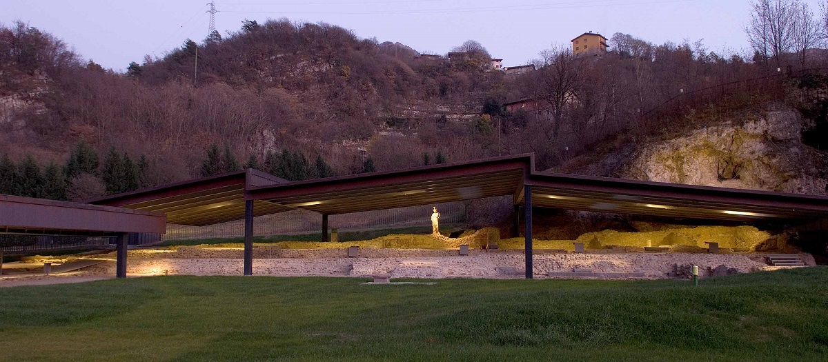
Santuario di Minerva
A Roman sanctuary to Minerva at Breno, excavated beside a spring and now covered for visits.
Mulino e Museo della Vita Contadina di Bienno
11.7 km away, in Bienno
A working watermill at Bienno with a museum of Camunian country life beside it.
Borgo di Cimbergo, Val Camonica
11.3 km away, in Cimbergo
A stone village on a spur above the Val Paghera, below the ruins of its castle.
Museo Nazionale Della Preistoria Della Valle Camonica
12.6 km away, in Capo di Ponte
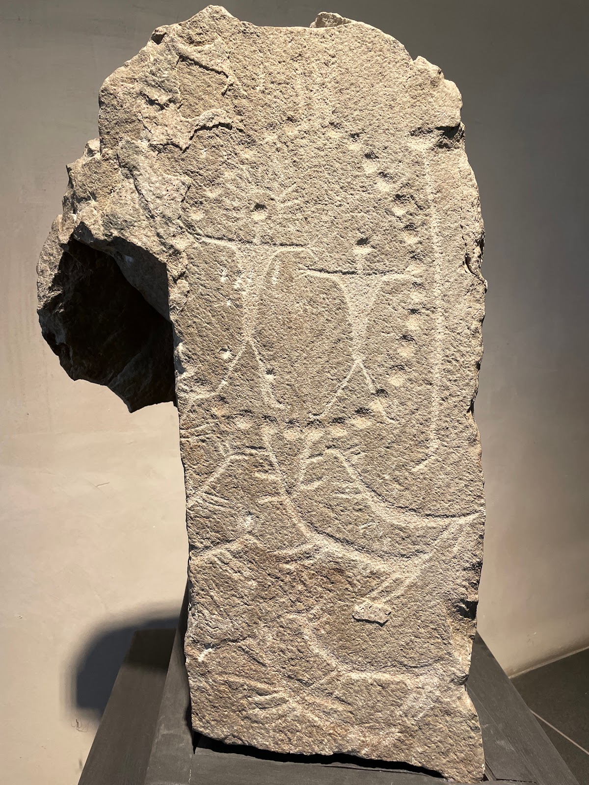
The national prehistory museum at Capo di Ponte, at the centre of the Camonica rock-art World Heritage site.
Chiesa S. Maria Assunta di Esine
14.9 km away, in Esine
Esine's parish church, its interior covered with a fifteenth-century fresco cycle.
Nothing of this kind in Breno.
Routes
14 from neighbouring places
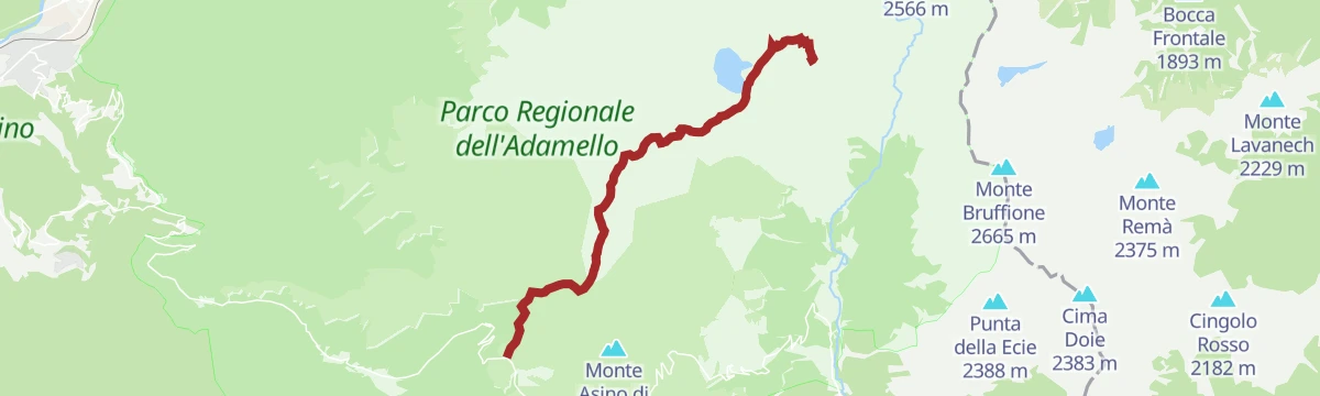
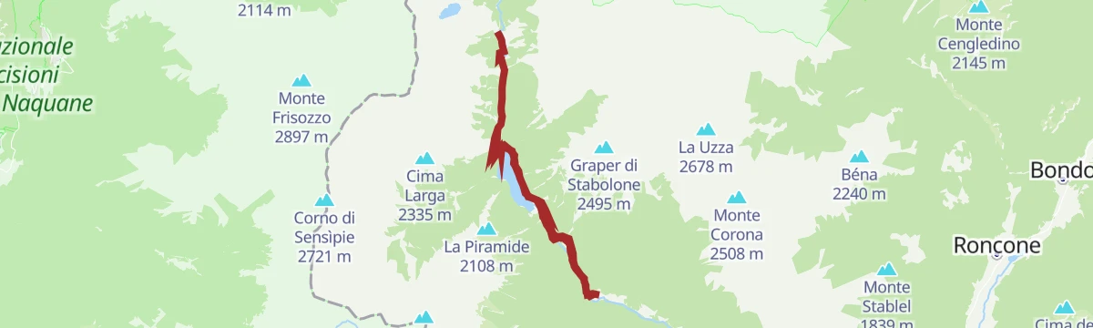
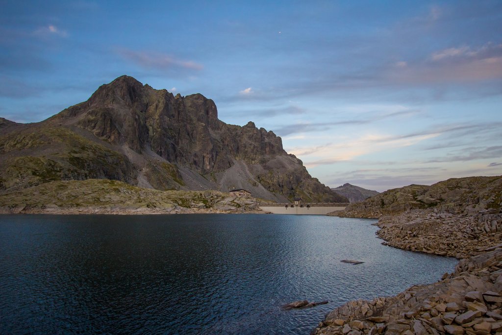
Dal Passo Crocedomini al Rifugio Tita Secchi
From the Crocedomini pass to the Tita Secchi hut, in the heart of the Adamello park.
- 11.7 km
- Distance
- 578 m
- Ascent
- 4 h 14 min
- Duration
- 102
- Check-ins
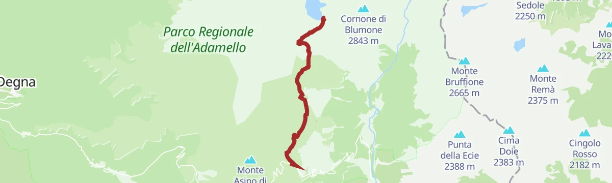
Dal Rifugio Tassara a Torre del Lago
A climb from the Tassara hut on the Crocedomini road above the Camonica valley to the summit of the Torre del Lago.
- 9.0 km
- Distance
- 1 075 m
- Ascent
- 4 h 32 min
- Duration
- 133
- Check-ins
Verso il Passo Crocedomini
A long ride from the Valle Camonica over the Giogo del Maniva and the Passo Dasdana to the Crocedomini.
- 75.4 km
- Distance
- 2 072 m
- Ascent
- 8 h 39 min
- Duration
- 150
- Check-ins
Al Rifugio Tita Secchi lungo il sentiero di Cadino
The Cadino path up to the Tita Secchi hut, in the heart of the Adamello park above the Camonica valley.
- 5.8 km
- Distance
- 556 m
- Ascent
- 2 h 26 min
- Duration
- 91
- Check-ins
Dalla terra dei Camuni verso Darfo
A long, nearly level route down the Camonica valley from Breno towards Darfo, through the country of the Camunni rock carvers.
- 15.0 km
- Distance
- 65 m
- Ascent
- 3 h 45 min
- Duration
- 9
- Check-ins
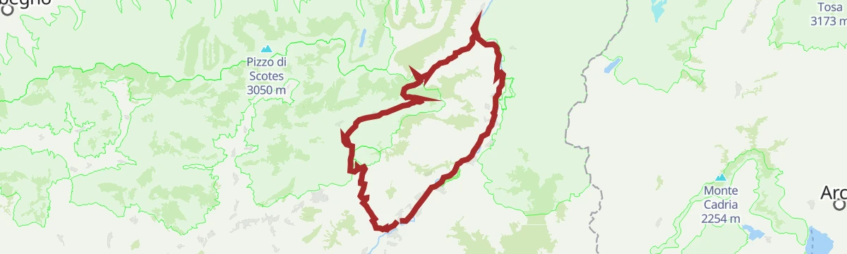
Al Passo del Vivione in Gravel
A gravel loop in the Valle Camonica, starting on the Ciclovia dell'Oglio before the long climb to the refuge at 1,828 m.
- 103.0 km
- Distance
- 2 196 m
- Ascent
- 11 h 12 min
- Duration
- 128
- Check-ins
Malga Nova with skis
7.7 km away, in Valdaone
A short winter approach in Valdaone on the old mule track above Pracul, following trail 250 towards the high pasture.
- 2.5 km
- Distance
- 0 m
- Ascent
- 461 m
- Descent
- 43 min
- Duration
Open route APT Madonna di Campiglio, Pinzolo, Val RendenaPracul Nature and History Trail
8.2 km away, in Valdaone
An easy themed loop in Valdaone over the old Manoncin bridge and its giant's kettles, past First World War trenches on the way up to Manon.
- 6.5 km
- Distance
- 354 m
- Ascent
- 2 h 31 min
- Duration
Open route APT Madonna di Campiglio, Pinzolo, Val RendenaGrotta Rossa with skis
10.9 km away, in Borgo Chiese
A big ski tour above Brione, starting near the aqueduct and climbing through the woods to the ridge of Dos di Laven before the summit beyond.
- 12.1 km
- Distance
- 1 319 m
- Ascent
- 1 318 m
- Descent
- 4 h 55 min
- Duration
- 1
- Check-ins
Open route APT Madonna di Campiglio, Pinzolo, Val RendenaCima Pissola with skis
12 km away, in Valdaone
A popular and straightforward ski tour past the Malga Table, with a wide view over the Adamello and the Brenta group from the top.
- 12.3 km
- Distance
- 864 m
- Ascent
- 861 m
- Descent
- 4 h 8 min
- Duration
- 6
- Check-ins
Open route APT Madonna di Campiglio, Pinzolo, Val RendenaVal Nova - La Via delle Valli
6.6 km away, in Valdaone
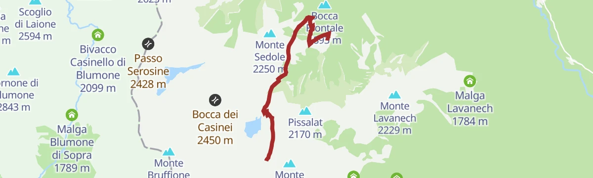
A steady walk on SAT path 250 from the high pasture up to Bocca Frontale, then over steeper ground to the huts of Casinei di Nova and Bocca di Remà.
- 8.7 km
- Distance
- 739 m
- Ascent
- 4 h 42 min
- Duration
- 1
- Check-ins
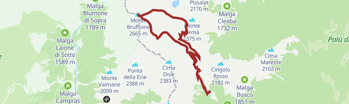
Open route APT Madonna di Campiglio, Pinzolo, Val RendenaVal Avèrta - La Via delle Valli
7 km away, in Borgo Chiese
A hard walk above Borgo Chiese, crossing Sella di Bondolo and Bocca di Remà to the saddle under Monte Bruffione, with Malga Bondolo on the return.
- 14.3 km
- Distance
- 1 117 m
- Ascent
- 7 h 14 min
- Duration
- 12
- Check-ins
 Monte Bruffione 2 665 m
 Selletta del Bruffione 2 610 m
- Sella di Bondolo 1 944 m
- Bocca di Remà 2 282 m
 Malga Bondolo 1 839 m
Open route APT Madonna di Campiglio, Pinzolo, Val RendenaTorrente Sorino C
8.7 km away, in Borgo Chiese
A short, level walk beside the Sorino stream in the Chiese valley, easy going from start to finish.
- 5.0 km
- Distance
- 21 m
- Ascent
- 2 h 36 min
- Duration
Open route Trentino FishingTonolo - Val Bona with ski mountaineering
12.6 km away, in Bagolino
A ski tour from Tonolo above Bagolino by Malga Capre and the Dosso delle Cavallarie to Monte Castello, descending into Val Bona.
- 9.3 km
- Distance
- 1 257 m
- Ascent
- 44 m
- Descent
- 3 h 51 min
- Duration
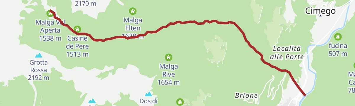
Open route APT Madonna di Campiglio, Pinzolo, Val RendenaDa Campolaro al Rifugio Valdaione
6.7 km away, in Bienno
A climb from Campolaro on the hills above Bienno, over the Fontanazzo bridge and up to the Rifugio Valdaione.
- 6.4 km
- Distance
- 401 m
- Ascent
- 2 h 25 min
- Duration
- 23
- Check-ins
Val di Daone - The Way of the Valleys
8.5 km away, in Valdaone
A long day through the gorge above Pracul, where boulders carry geology panels, on past the Cascate di Danerba to Lago di Nudole.
- 20.9 km
- Distance
- 669 m
- Ascent
- 6 h 33 min
- Duration
- 2
- Check-ins
Open route APT Madonna di Campiglio, Pinzolo, Val RendenaThe Queen of the lake, the mother waterfall of Val Daone
8.8 km away, in Valdaone
A short climb from the Boazzo reservoir on mule track and hairpins, following the Rondon stream through woods of dwarf pine to Malga Leno.
- 3.3 km
- Distance
- 292 m
- Ascent
- 1 h 22 min
- Duration
- 6
- Check-ins
Open route APT Madonna di Campiglio, Pinzolo, Val RendenaTorrente Giulis B
7 km away, in Borgo Chiese
A nearly flat walk along the Giulis stream near Borgo Chiese, with almost no climbing over its seven kilometres.
- 7.6 km
- Distance
- 11 m
- Ascent
- 2 h 59 min
- Duration
Open route Trentino FishingMonte Listino
8.6 km away, in Valdaone
A steep climb out of Valdaone past Malga Leno and the Cascata del Leno waterfall to Passo del Termine, gaining close to 1,500 m in under 9 km.
- 8.4 km
- Distance
- 1 463 m
- Ascent
- 5 h 32 min
- Duration
- 18
- Check-ins
- Monte Listino 2 749 m
- Passo del Termine 2 334 m
- Malga Gelo 1 868 m
- Malga Gelo Bivacco Invernale 1 507 m
- Malga Leno 1 507 m
Open route APT Madonna di Campiglio, Pinzolo, Val RendenaLago di Malga Boazzo 2
9.1 km away, in Valdaone
A short and easy shoreline walk in Valdaone, with a climbing sector and a cableway station standing beside the water.
- 4.1 km
- Distance
- 86 m
- Ascent
- 1 h 10 min
- Duration
No routes of this kind in Breno yet.
The region's own picks

Featured route
Dal Passo Crocedomini al Rifugio Tita Secchi
From the Crocedomini pass to the Tita Secchi hut, in the heart of the Adamello park.
Planning a trip to Breno?
Everything else Lombardy has, in one place


Take Breno with you into the mountains
Every route on this page with 3D terrain, GPX navigation and offline maps — including the valleys with no signal.
Data sources
- Official website: turismovallecamonica.it ↗
- Routes and highlights: APT Madonna di Campiglio, Pinzolo, Val Rendena, Visitbrescia, in Lombardia, Trentino Fishing, Astrotourism, Italia.it, Visit Trentino
- Published as open data by the tourist boards named above.
- Region summary generated from the board's own material.
