
Curated by Alpenregion Vorarlberg
Brand
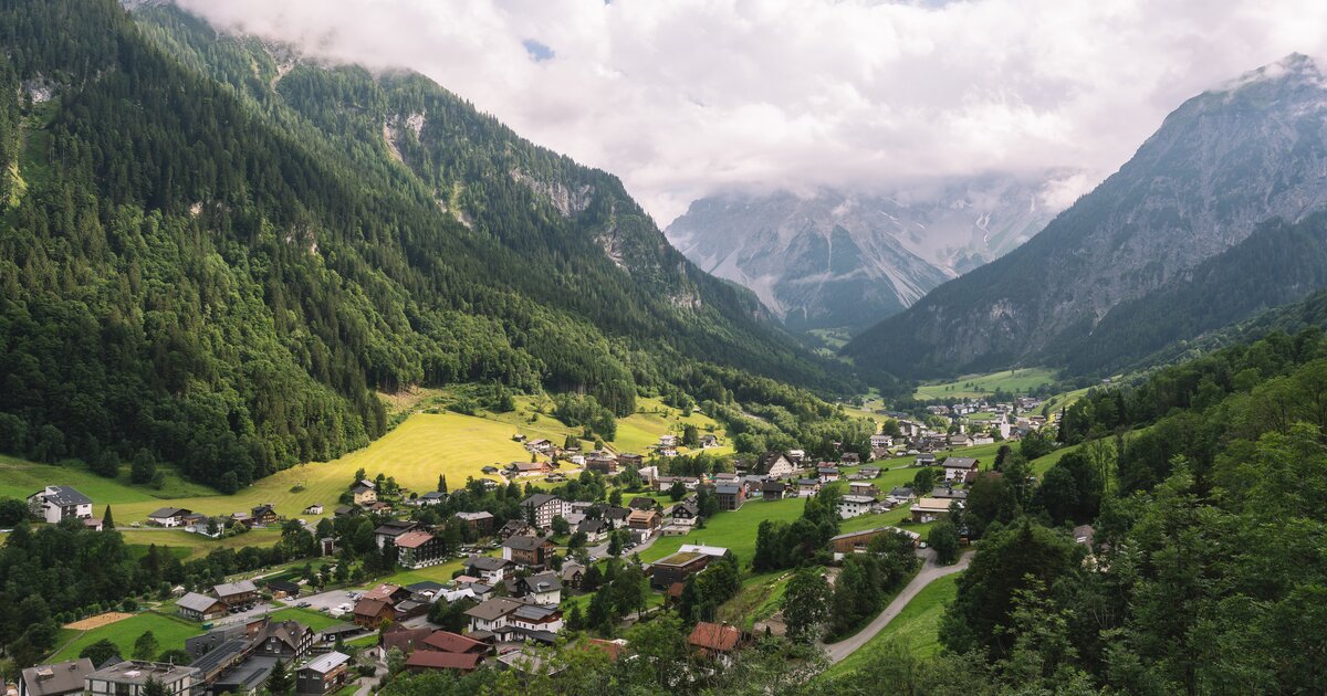
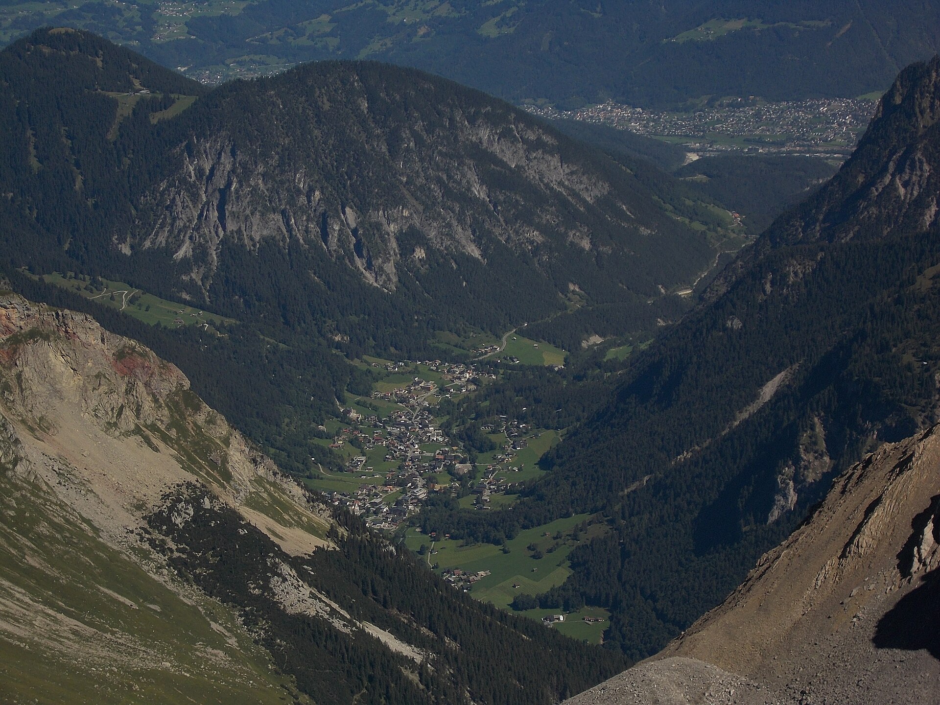
The village filling the upper Brandnertal at about 1040 m beneath the Schesaplana, with the Lünersee cable car waiting at the road's end.
- 4Highlights
- 30Routes
Highlights
11 from neighbouring places
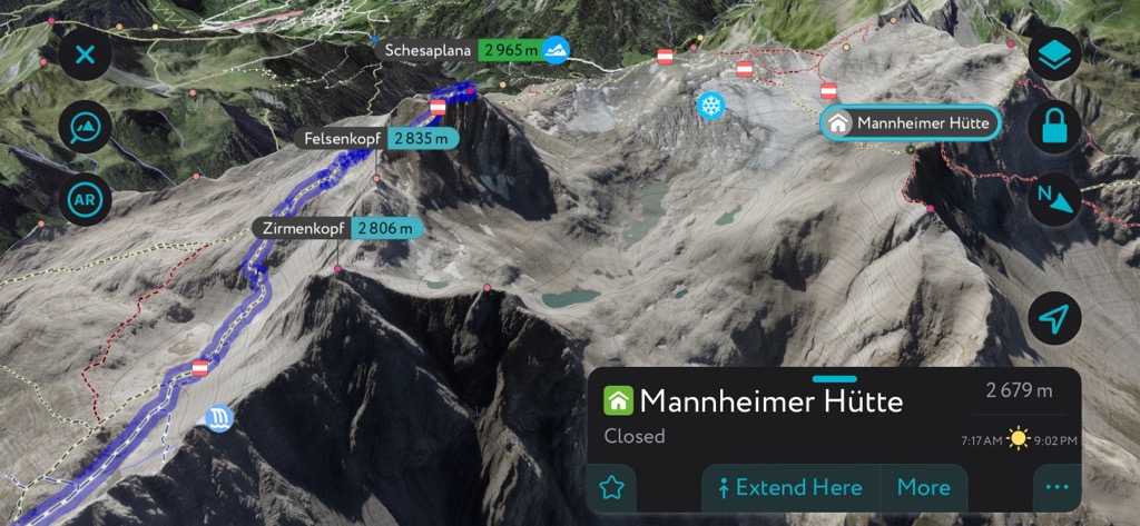
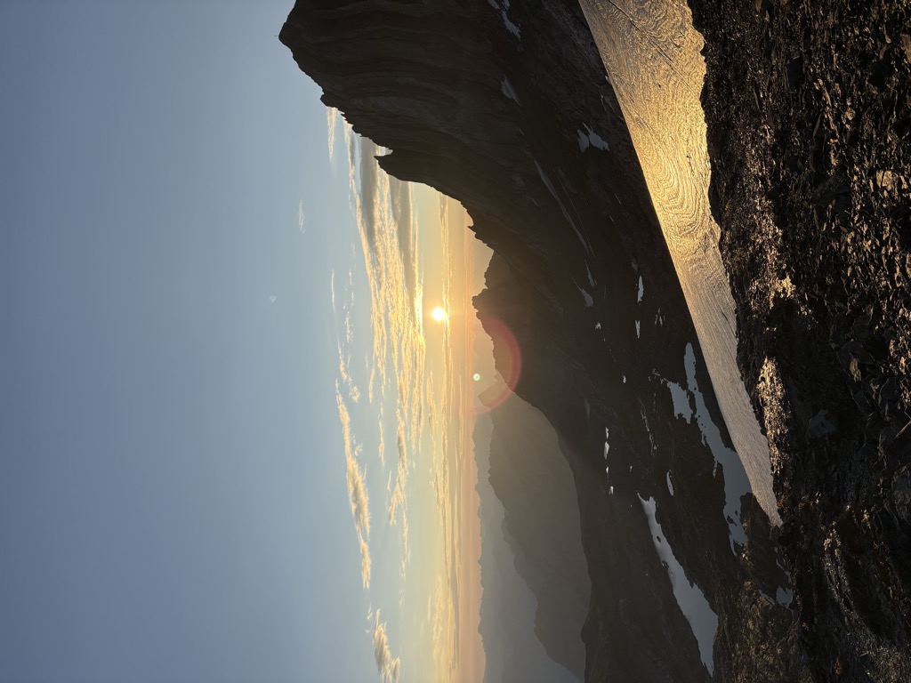
Mannheimer Hütte
A DAV refuge on the Brandner glacier, facing the Schesaplana across the ice — the highest hut in the Rätikon.
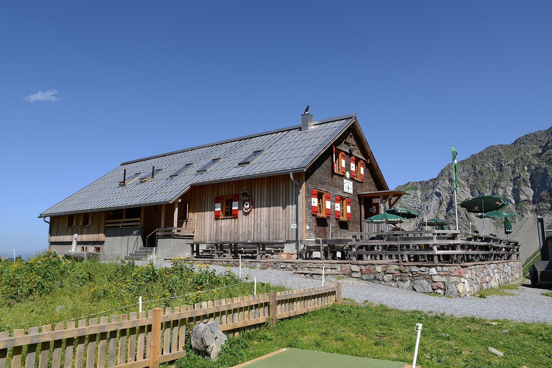
 Mountain hut Feel free to use my photos, but please mention me as the author and if you want send me a message. or (rufre@lenz-nenning.at) · CC BY-SA 3.0 at
Oberzalimhütte
A DAV hut in the Zalimtal above Brand, on the way up to the Schesaplana.
Palüdhütte
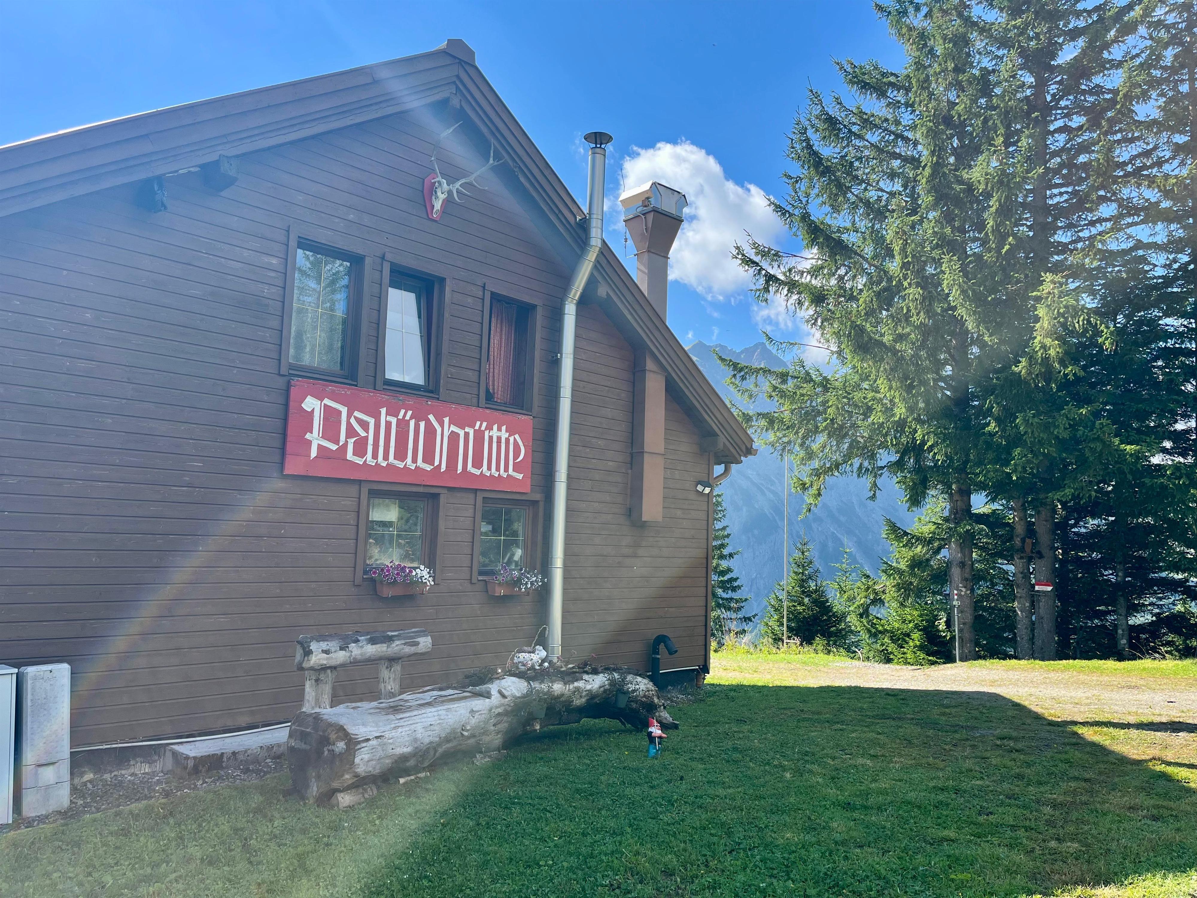
A rustic hut on the Palüd slope above Brand, open to the length of the valley.
Schesaplana
At 2,965 m the highest mountain in the Rätikon, standing on the border with Switzerland.
Klettergarten Seekopf Süd
3.8 km away, in Vandans
South-facing rock above the Lünersee, reached from the top station of the cable car.
Felsenkopf
3.9 km away, in Vandans
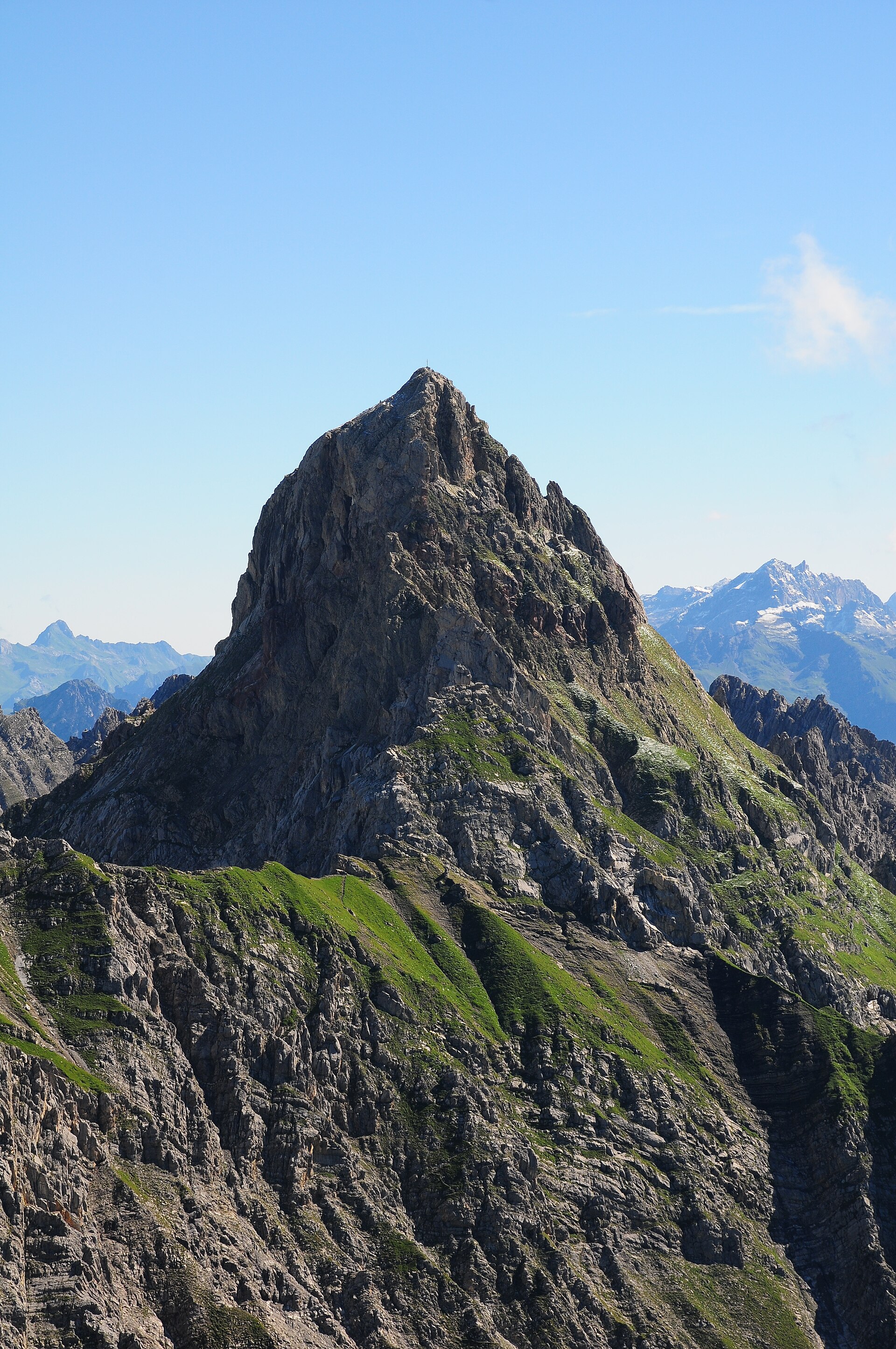
The fourth-highest summit of the Rätikon, in the Schesaplana group, its survey point on the Austrian side.
Saulajoch
3.9 km away, in Vandans
The notch under the Saulakopf, crossed on the round from the Lünersee to the Rellstal.
Saulakopf
4 km away, in Vandans
A peak of the Zimba group in the Rätikon, with a hard via ferrata on its flank.
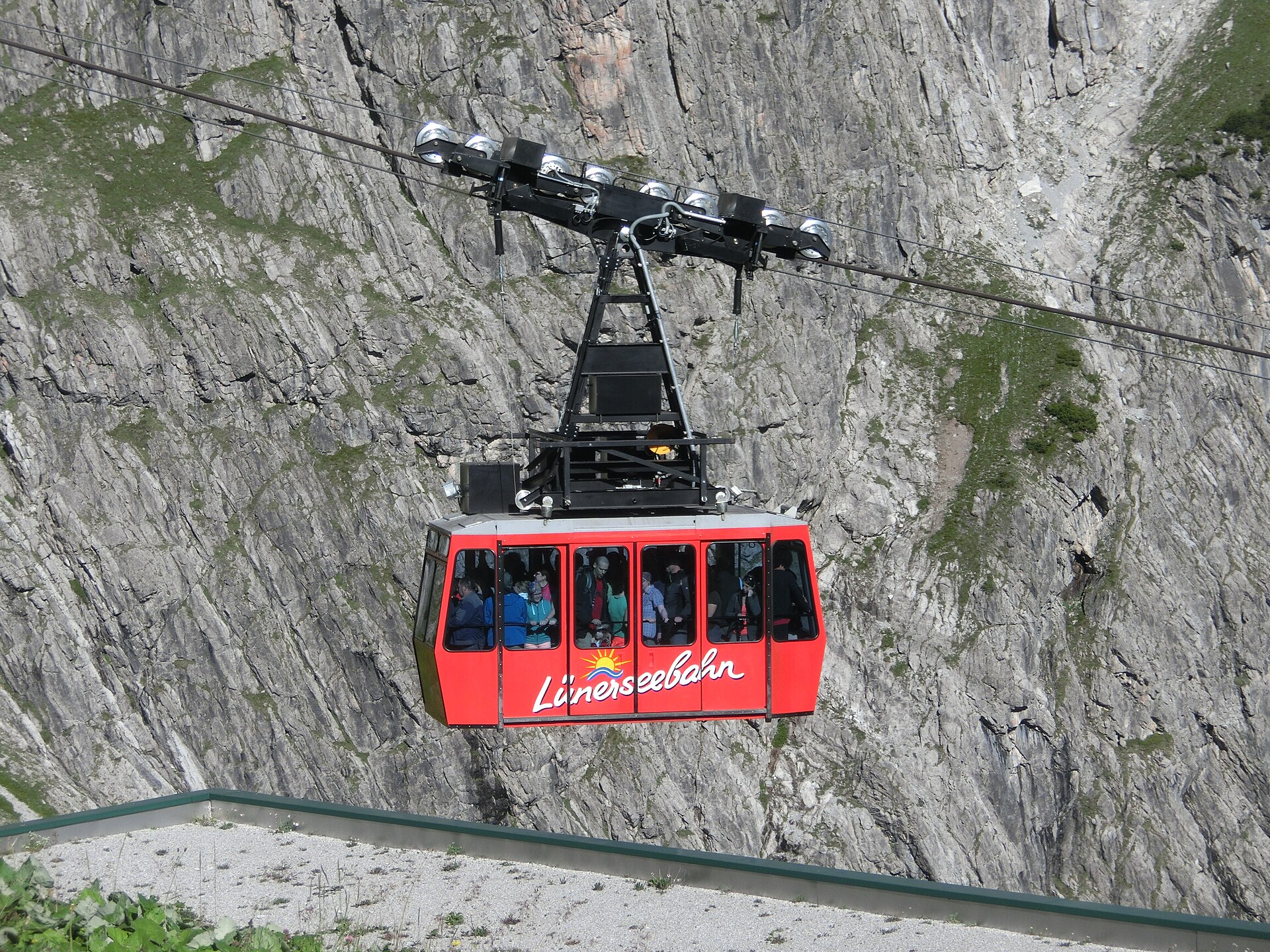
Lünerseebahn
4 km away, in Vandans
The cable car from the head of the Brandnertal up to the Lünersee, a reservoir ringed by the Rätikon.
PeakVisor / OpenStreetMapTotalphütte
4.1 km away, in Vandans
An Alpine Club refuge on the climb from the Lünersee to the Schesaplana.
Douglasshütte
4.3 km away, in Vandans
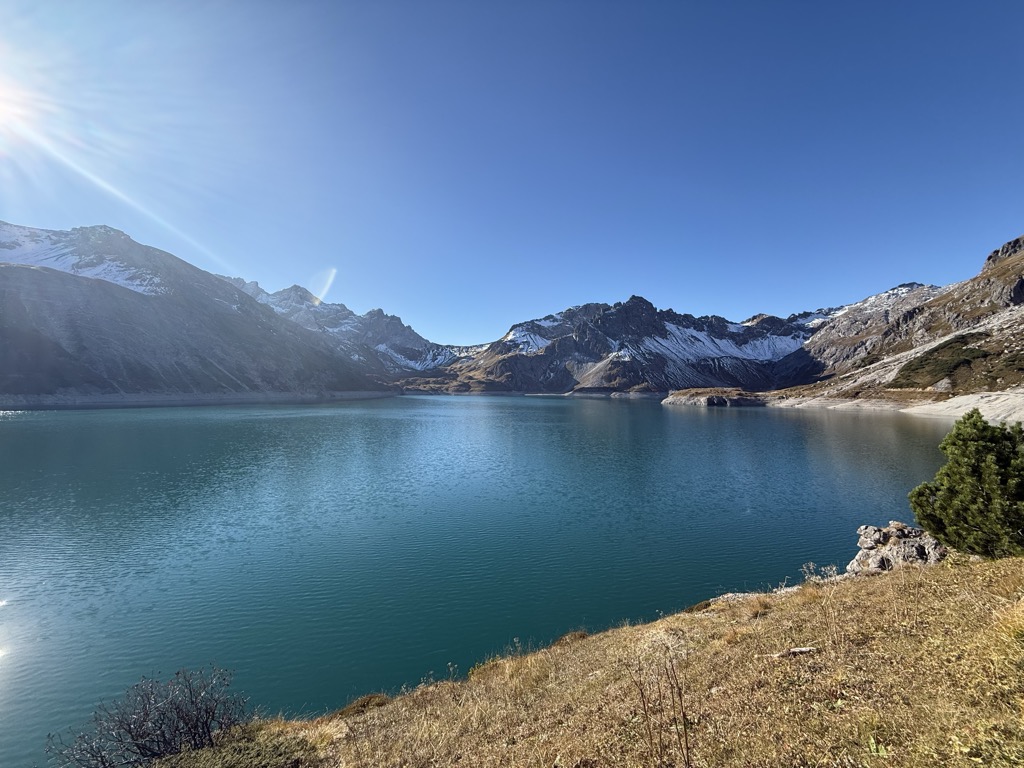
The hut at the Lünersee, once called the Lünerseehütte, at the top of the cable car.
Lünersee
4.7 km away, in Vandans
Once a natural mountain lake, dammed into one of the largest bodies of water in Vorarlberg.
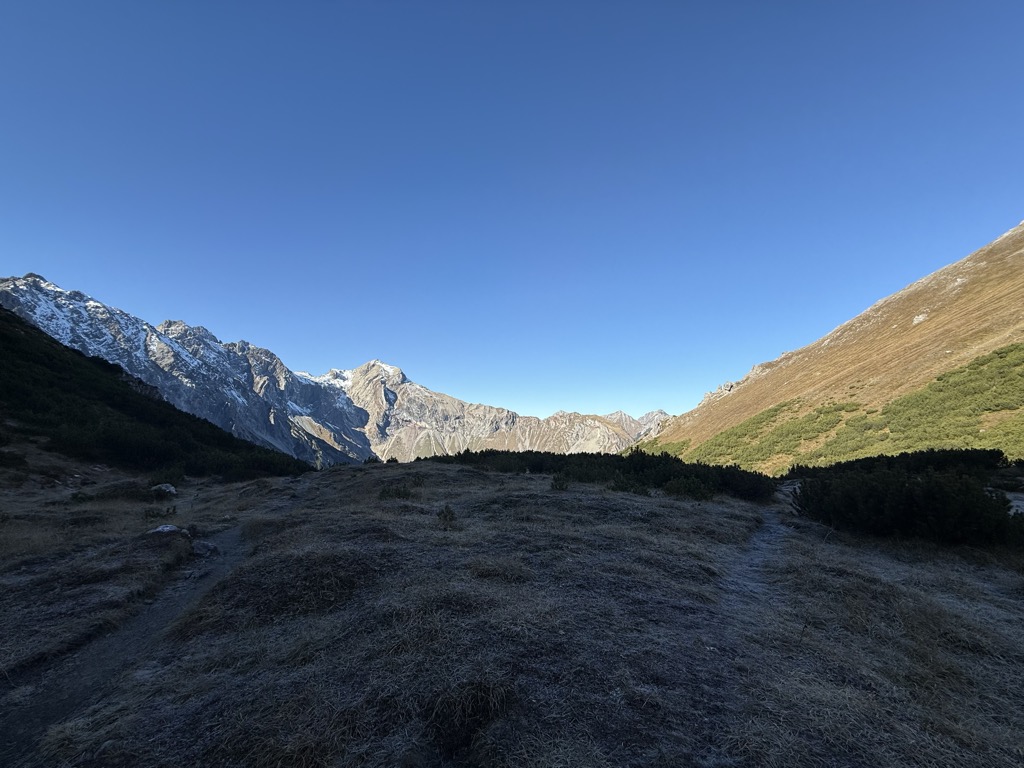
Taleu
4.7 km away, in Bürserberg
A quiet top on the shelf above the village, on the way over to the Loischkopf.
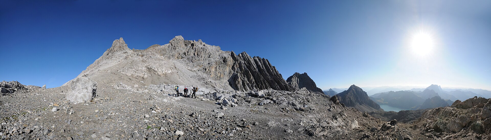
Zimbajoch
5.1 km away, in Vandans
The saddle under the Zimba, the crossing between the Sarotla valley and the Lünersee.
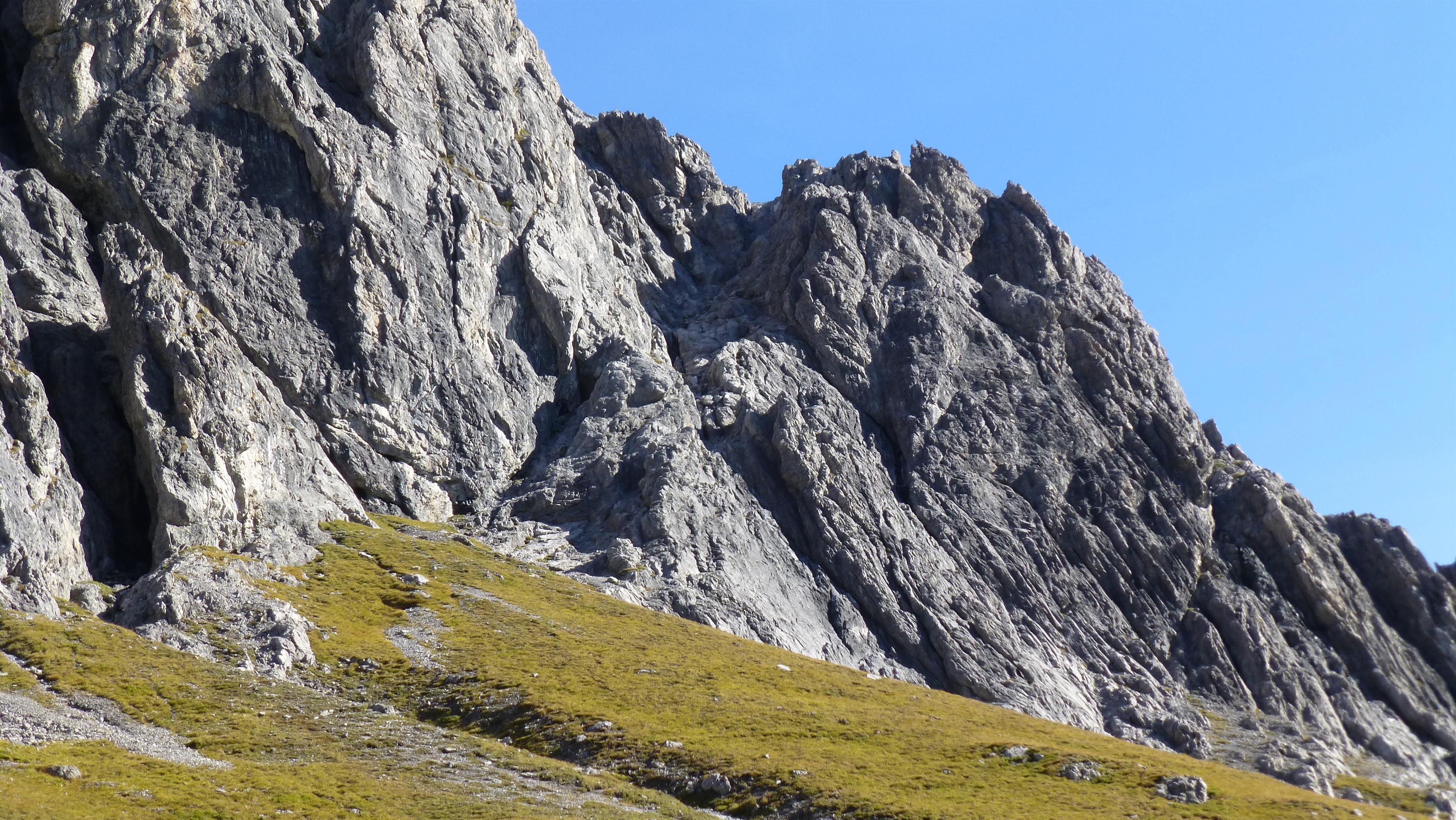
Gipsköpfle
5.1 km away, in Vandans
A modest top at the head of the Rellstal, quiet because almost nobody goes there.
 Mountain pass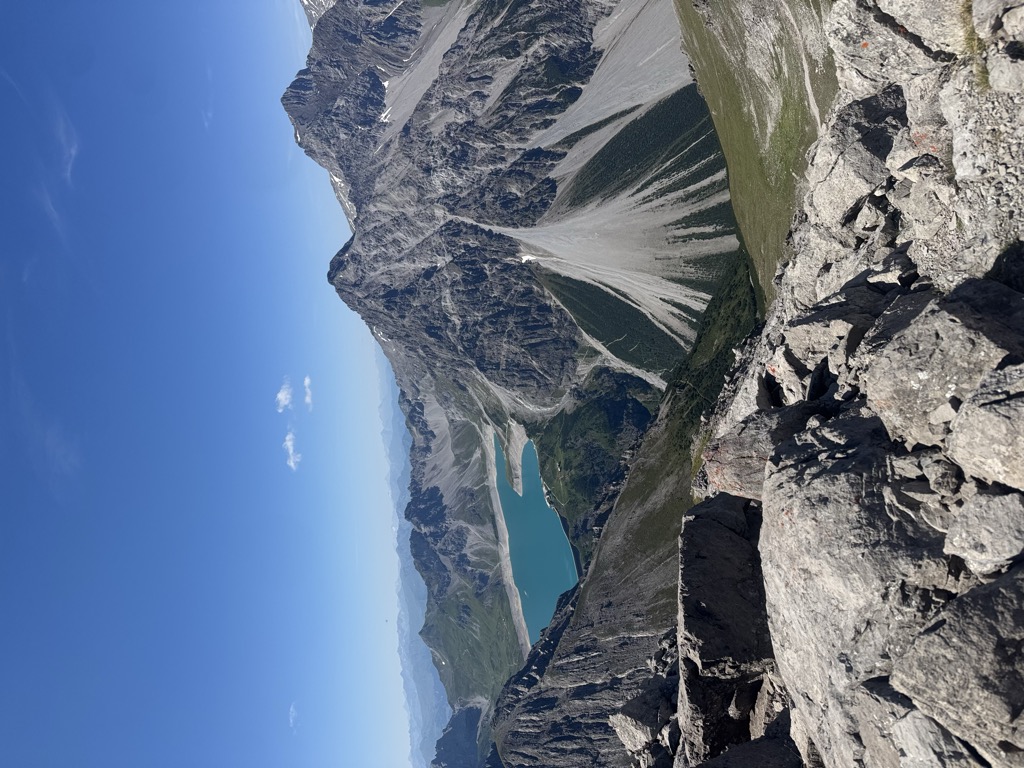
 Cable car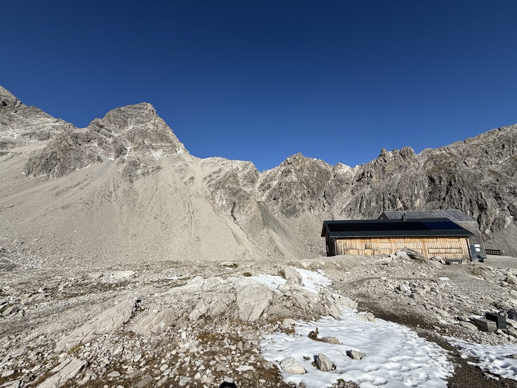
Nothing of this kind in Brand.
Routes
Klettersteig Kellenegg
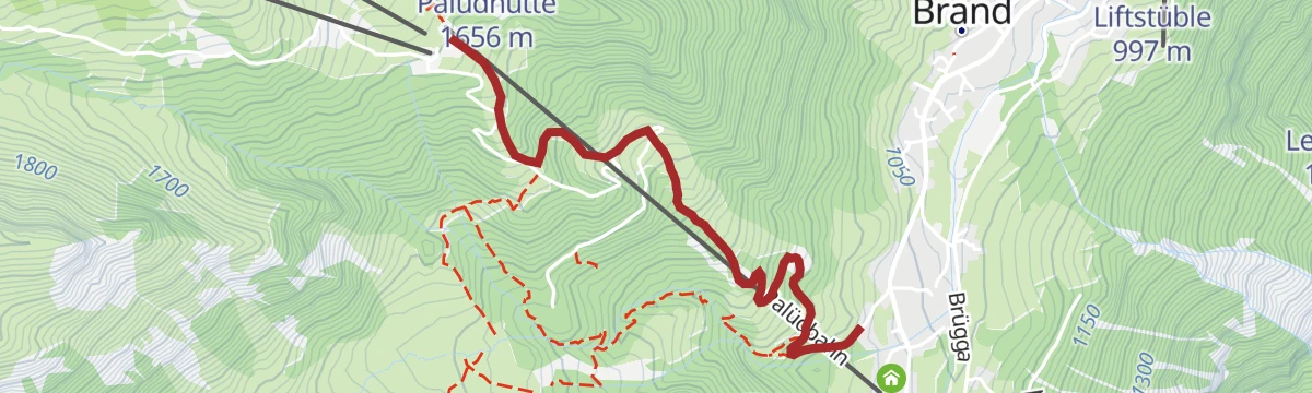
A short, well-built grade-C via ferrata close to the village, with clamps easing the steepest passages.
- 1.5 km
- Distance
- 195 m
- Ascent
- 1 h 26 min
- Duration
Open route Alpenregion Vorarlberg5-Tages-Hüttentour im Rätikon (Etappe 5)
The last day of the five-day Rätikon hut round, an easy descent into Brand.
- 5.1 km
- Distance
- 64 m
- Ascent
- 2 h 6 min
- Duration
Open route Alpenregion VorarlbergZur Sarotla Hütte
Up the Sarotla valley to its rustic hut, closed in by the Zimba, the Zwölferkopf and the Gottvaterspitze.
- 11.0 km
- Distance
- 754 m
- Ascent
- 5 h 4 min
- Duration
Open route Alpenregion Vorarlberg2-Tages-Hüttentour Heinrich-Hueter-Hütte
Two days over the Zimbajoch with a night at the Heinrich-Hueter-Hütte, under the Zimba's spire.
- 36.9 km
- Distance
- 2 860 m
- Ascent
- 18 h 33 min
- Duration
Open route Alpenregion VorarlbergInnertal - Oberzalmischkopf
1,243 m on skis from Innertal to Oberzalmischkopf, 6.8 km with its high point at 2,328 m.
- 5.8 km
- Distance
- 0 m
- Ascent
- 0 m
- Descent
- 1 h 25 min
- Duration
Open route PeakVisor tTRL (OpenStreetMap piste_type=skitour)Innertal - Schesaplana
From Brand Innertal to the Schesaplana, the highest summit of the Rätikon, in one enormous day.
- 10.1 km
- Distance
- 0 m
- Ascent
- 0 m
- Descent
- 2 h 29 min
- Duration
Open route PeakVisor tTRL (OpenStreetMap piste_type=skitour)5-Täler Mountainbike-Stern-Tour (Etappe 1)
The first day of the five-valley mountain-bike round ridden as a star from a base in Bludenz.
- 30.7 km
- Distance
- 1 259 m
- Ascent
- 3 h 55 min
- Duration
Open route Alpenregion VorarlbergWiesleweg
An easy path with the Sarotlatal below and the Zimba ahead, the peak they call Vorarlberg's Matterhorn.
- 4.6 km
- Distance
- 120 m
- Ascent
- 1 h 27 min
- Duration
Open route Alpenregion Vorarlberg2-Tages-Hüttentour Heinrich-Hueter-Hütte (Etappe 1)
The climb up to the Heinrich-Hueter-Hütte, first day of the Zimbajoch round.
- 12.5 km
- Distance
- 1 460 m
- Ascent
- 7 h 26 min
- Duration
Open route Alpenregion VorarlbergPalüd-Tour
A waymarked ski tour for the slightly experienced up into the Palüd sector, coming down the piste.
- 2.9 km
- Distance
- 523 m
- Ascent
- 0 m
- Descent
- 1 h 28 min
- Duration
Open route Alpenregion Vorarlberg5-Täler Mountainbike-Tour (Etappe 1)
The first stage of the five-valley tour, linking the valleys around Bludenz in four days.
- 23.9 km
- Distance
- 1 279 m
- Ascent
- 3 h 7 min
- Duration
Open route Alpenregion Vorarlberg2-Tages-Hüttentour Schesaplana
Two days to the Schesaplana with a night at the Mannheimer Hütte, at 2,679 m the highest refuge in Vorarlberg.
- 24.8 km
- Distance
- 2 114 m
- Ascent
- 13 h 26 min
- Duration
Open route Alpenregion VorarlbergSchattenlagant-Tour
A waymarked beginners' ski tour to the Schattenlaganthütte at the head of the Brandnertal.
- 4.1 km
- Distance
- 411 m
- Ascent
- 0 m
- Descent
- 1 h 27 min
- Duration
Open route Alpenregion VorarlbergBrandnertal-Rundtour
A mountain-bike round of the Brandnertal, climbing off the valley floor and back.
- 31.4 km
- Distance
- 1 357 m
- Ascent
- 4 h 4 min
- Duration
Open route Alpenregion Vorarlberg2-Tages-Hüttentour Schesaplana (Etappe 1)
The first day of the Schesaplana tour, climbing from the valley floor to the Mannheimer Hütte at 2,679 m.
- 10.3 km
- Distance
- 1 663 m
- Ascent
- 6 h 29 min
- Duration
Open route Alpenregion VorarlbergSchesaplana
A ski tour to Schesaplana, 1,283 m of climbing in 7.3 km between 1,793 and 2,942 m.
- 6.2 km
- Distance
- 0 m
- Ascent
- 0 m
- Descent
- 1 h 31 min
- Duration
Open route PeakVisor tTRL (OpenStreetMap piste_type=skitour)Graveltour Brandnertal
A gravel round from Bludenz to Brand and back by the Parpfienzalpe, Nenzing and Schnifis.
- 57.3 km
- Distance
- 1 873 m
- Ascent
- 6 h 51 min
- Duration
Open route Vorarlberg Tourismus3-Tages-Tour Heinrich-Hueter-/Lindauer Hütte (Etappe 1)
The first day of a three-day hut round, leaving Brand Innertal for the Heinrich-Hueter-Hütte.
- 12.2 km
- Distance
- 1 453 m
- Ascent
- 7 h 21 min
- Duration
Open route Vorarlberg TourismusGraveltour Brandnertal – Walgau
A long gravel round from Bludenz up the Brandnertal and back across the Walgau, steep in places.
- 57.4 km
- Distance
- 1 528 m
- Ascent
- 6 h 32 min
- Duration
Open route Vorarlberg Tourismus4-Tages-Hüttentour Schesaplana (Etappe 1)
The opening day of the four-day hut round that takes in the Schesaplana, the highest summit of the Rätikon.
- 17.2 km
- Distance
- 1 564 m
- Ascent
- 8 h 33 min
- Duration
Open route Alpenregion VorarlbergVon Bürs nach Brand
An unhurried ride on the old road, following the Alvierbach from Bürs all the way in to Brand.
- 17.9 km
- Distance
- 729 m
- Ascent
- 2 h 17 min
- Duration
Open route Alpenregion Vorarlberg4-Tages-Hüttentour Schesaplana (Etappe 3)
The third day of the four-day round, the stage that reaches the Schesaplana itself.
- 7.1 km
- Distance
- 1 203 m
- Ascent
- 5 h 22 min
- Duration
Open route Alpenregion Vorarlberg4-Tages-Hüttentour im Rätikon (Etappe 1)
The opening day of the four-day Rätikon hut round, climbing out of the valley to the first refuge.
- 13.4 km
- Distance
- 1 221 m
- Ascent
- 6 h 14 min
- Duration
Open route Alpenregion Vorarlberg4-Tages-Hüttentour im Rätikon (Etappe 4)
The closing day of the four-day Rätikon round, the long descent back to the valley floor.
- 20.6 km
- Distance
- 1 222 m
- Ascent
- 9 h 38 min
- Duration
Open route Alpenregion Vorarlberg5-Tages-Hüttentour im Rätikon (Etappe 1)
The opening day of the five-day Rätikon round, from the valley floor to the first hut of the traverse.
- 12.3 km
- Distance
- 1 076 m
- Ascent
- 6 h 6 min
- Duration
Open route Alpenregion Vorarlberg5-Tages-Hüttentour im Rätikon (Etappe 2)
The second day of the five-day Rätikon hut round, a short stage that climbs over 1,300 m to its hut.
- 6.2 km
- Distance
- 1 402 m
- Ascent
- 5 h 15 min
- Duration
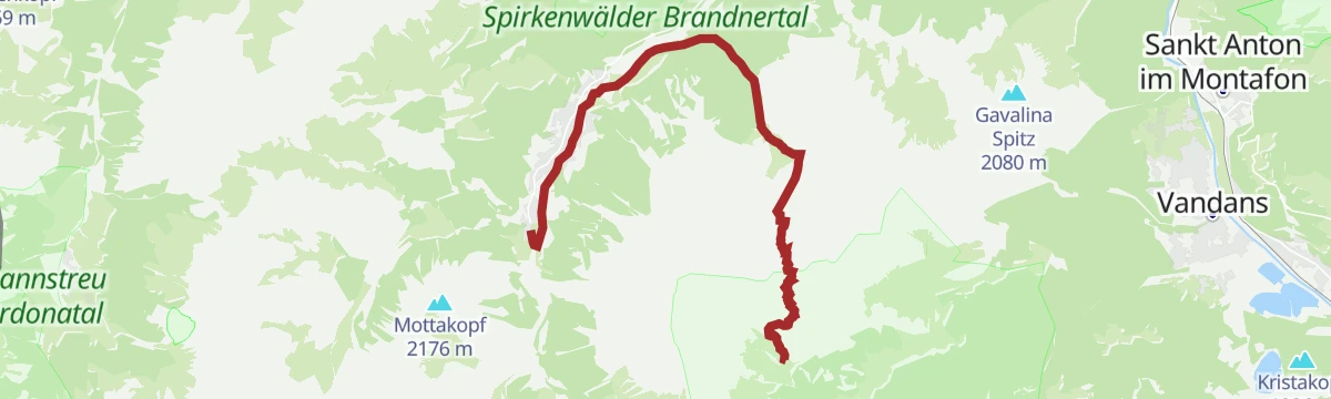
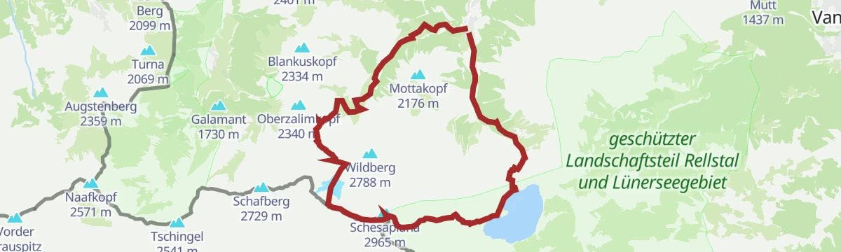
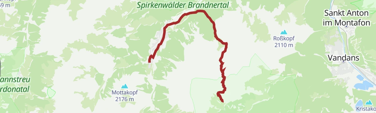
Open route Alpenregion VorarlbergMottakopf 2.176 m
The 2,176 m Mottakopf, the village's own mountain, taken as a round with a view in every direction from the top.
- 13.2 km
- Distance
- 1 104 m
- Ascent
- 7 h 3 min
- Duration
Open route Alpenregion VorarlbergNenzinger Himmel über Amatschonjoch
A long round over the Amatschonjoch into the Nenzinger Himmel, a village inhabited only in summer.
- 22.3 km
- Distance
- 1 348 m
- Ascent
- 9 h 20 min
- Duration
Open route Alpenregion VorarlbergVom Lünersee zur Lindauer Hütte
A crossing past the Lünersee to the Lindauer Hütte, ending in the Montafon rather than back in the Brandnertal.
- 22.8 km
- Distance
- 1 560 m
- Ascent
- 10 h 34 min
- Duration
Open route Alpenregion VorarlbergÜbers Zimbajoch zum Lünersee
A demanding crossing through the Sarotlatal and over the Zimbajoch to the Lünersee.
- 16.9 km
- Distance
- 1 926 m
- Ascent
- 10 h 30 min
- Duration
Open route Alpenregion Vorarlberg







No routes of this kind in Brand yet.
Planning a trip to Brand?
Everything else Vorarlberg has, in one place


Take Brand with you into the mountains
Every route on this page with 3D terrain, GPX navigation and offline maps — including the valleys with no signal.
Data sources
- Official website: www.vorarlberg-alpenregion.at ↗
- Routes and highlights: Alpenregion Vorarlberg, PeakVisor / OpenStreetMap, PeakVisor tTRL (OpenStreetMap piste_type=skitour), Vorarlberg Tourismus
- Published as open data by the tourist boards named above.
- Region summary generated from the board's own material.
