
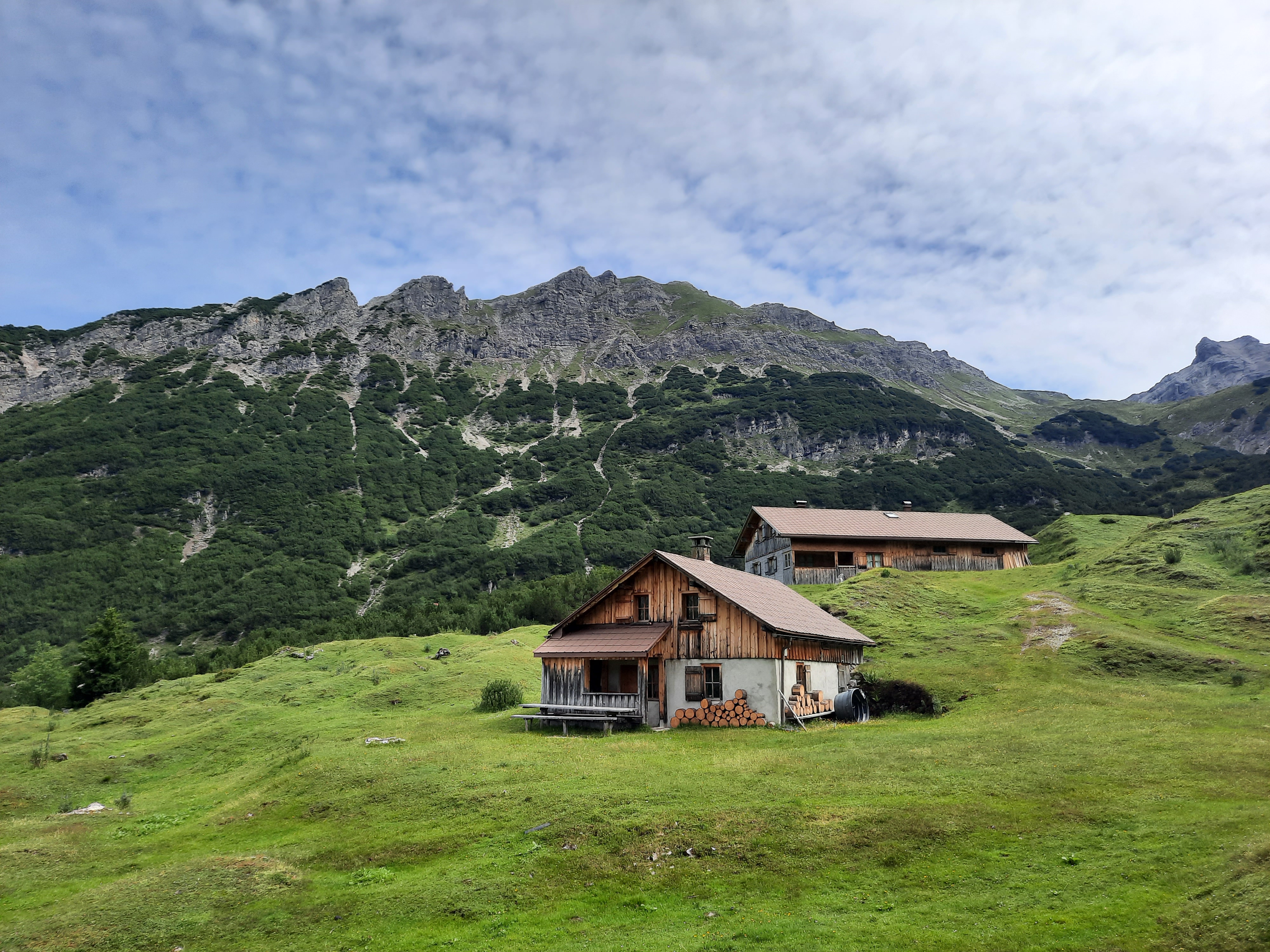
Curated by Alpenregion Vorarlberg
Bludenz
The district town where five valleys converge — Walgau, Brandnertal, Klostertal, Montafon and the Großes Walsertal — under the Muttersberg cable car.
- 7Highlights
- 32Routes
Highlights
8 from neighbouring places
Davenna Kopf
A wooded summit on the Klostertal side of Bludenz, with the town laid out below.
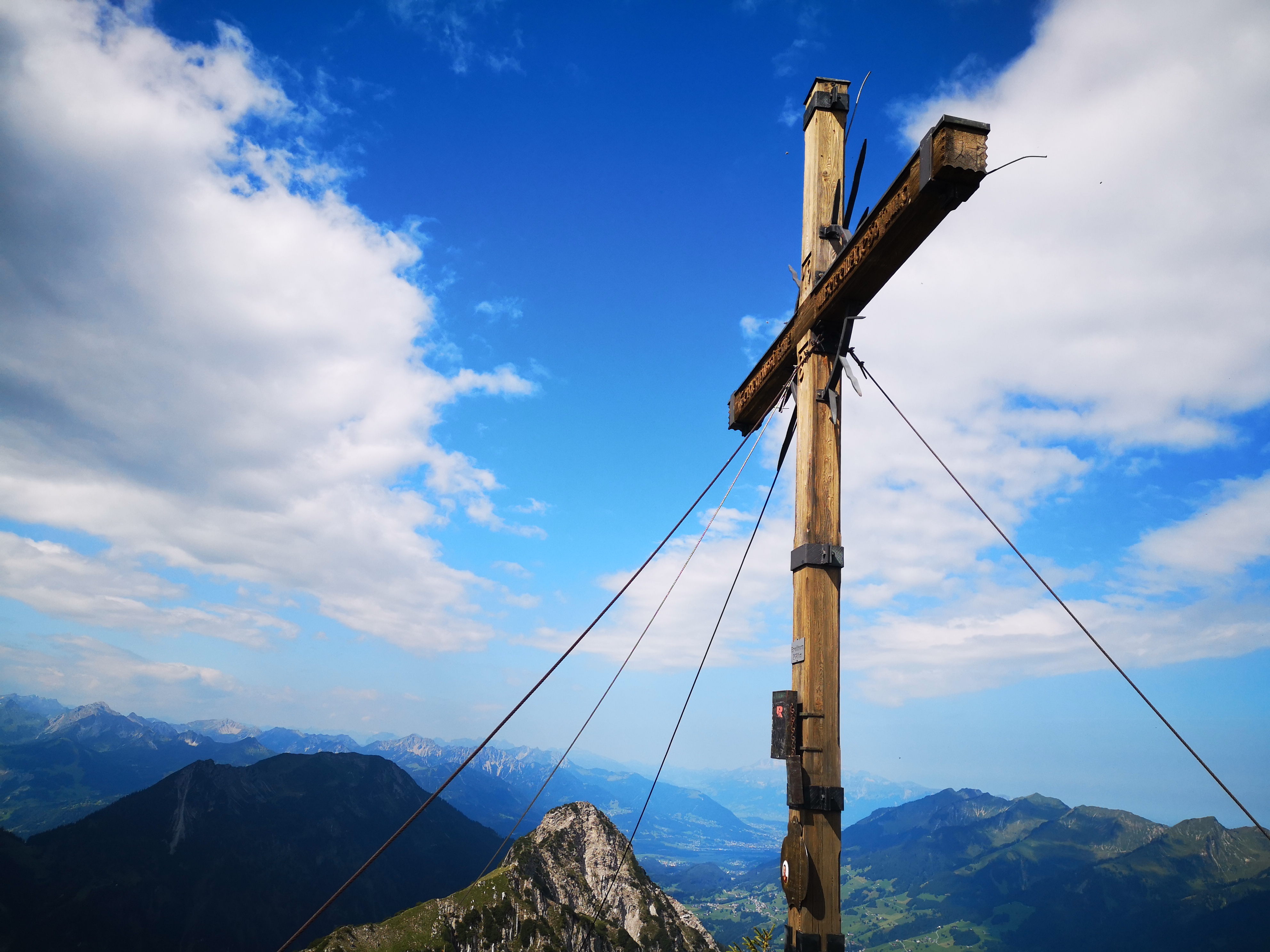
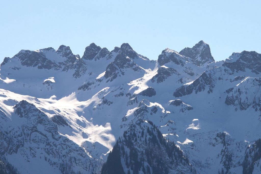
Gamsfreiheit
The high point of the ridge above the Muttersberg, looking into three valleys at once.
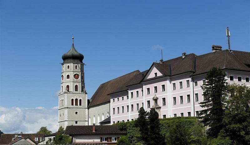
Schloss Gayenhofen
The counts of Werdenberg built a castle here between 1222 and 1245; with it Bludenz became a walled town alongside Bregenz and Feldkirch.
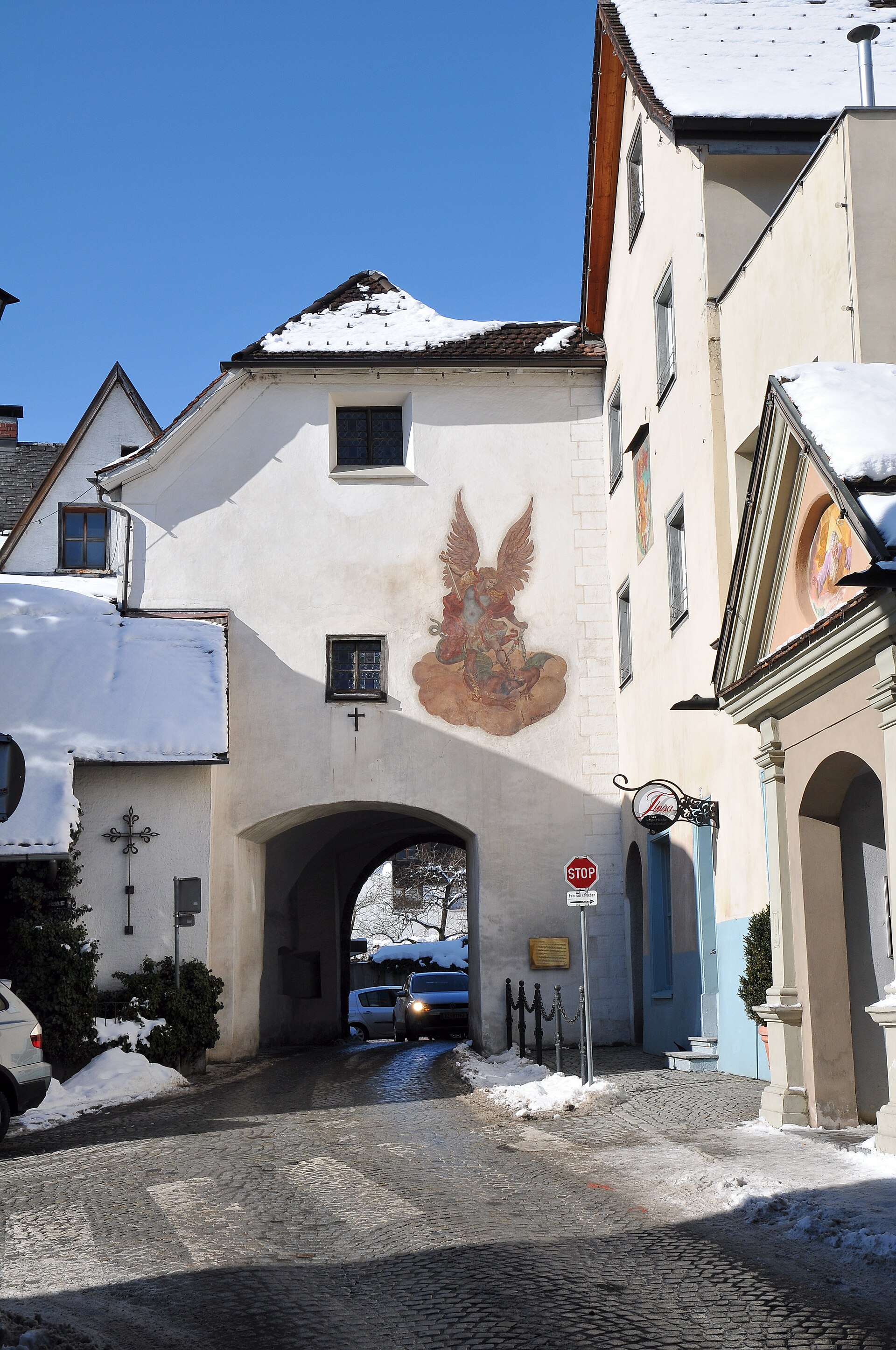 Museum Feel free to use my photos, but please mention me as the author and if you want send me a message. or (rufre@lenz-nenning.at) · CC BY-SA 3.0 at
Stadtmuseum Bludenz
The town museum, housed in the Oberes Tor — the surviving upper gate of the medieval walls.
PeakVisor / OpenStreetMapRiedmiller-Denkmal
A monument to Bernhard Riedmiller, captain of the Bludenz militia.
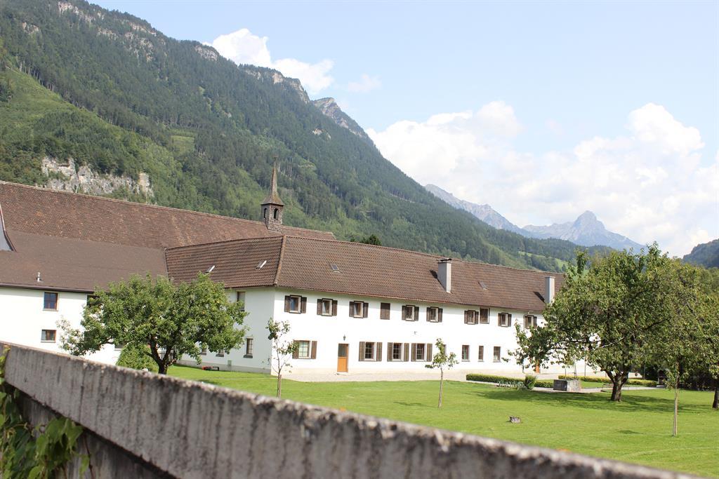
Franziskanerkloster Bludenz
Founded by Capuchins in 1645; when they withdrew in 1991 the house passed to twenty-one parishes of the Bludenz region.
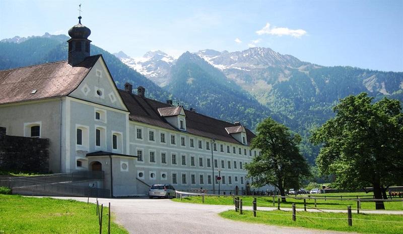
Kloster St. Peter
A Dominican convent at the eastern edge of town, where the Montafon and the Klostertal begin — the oldest still standing in Vorarlberg.
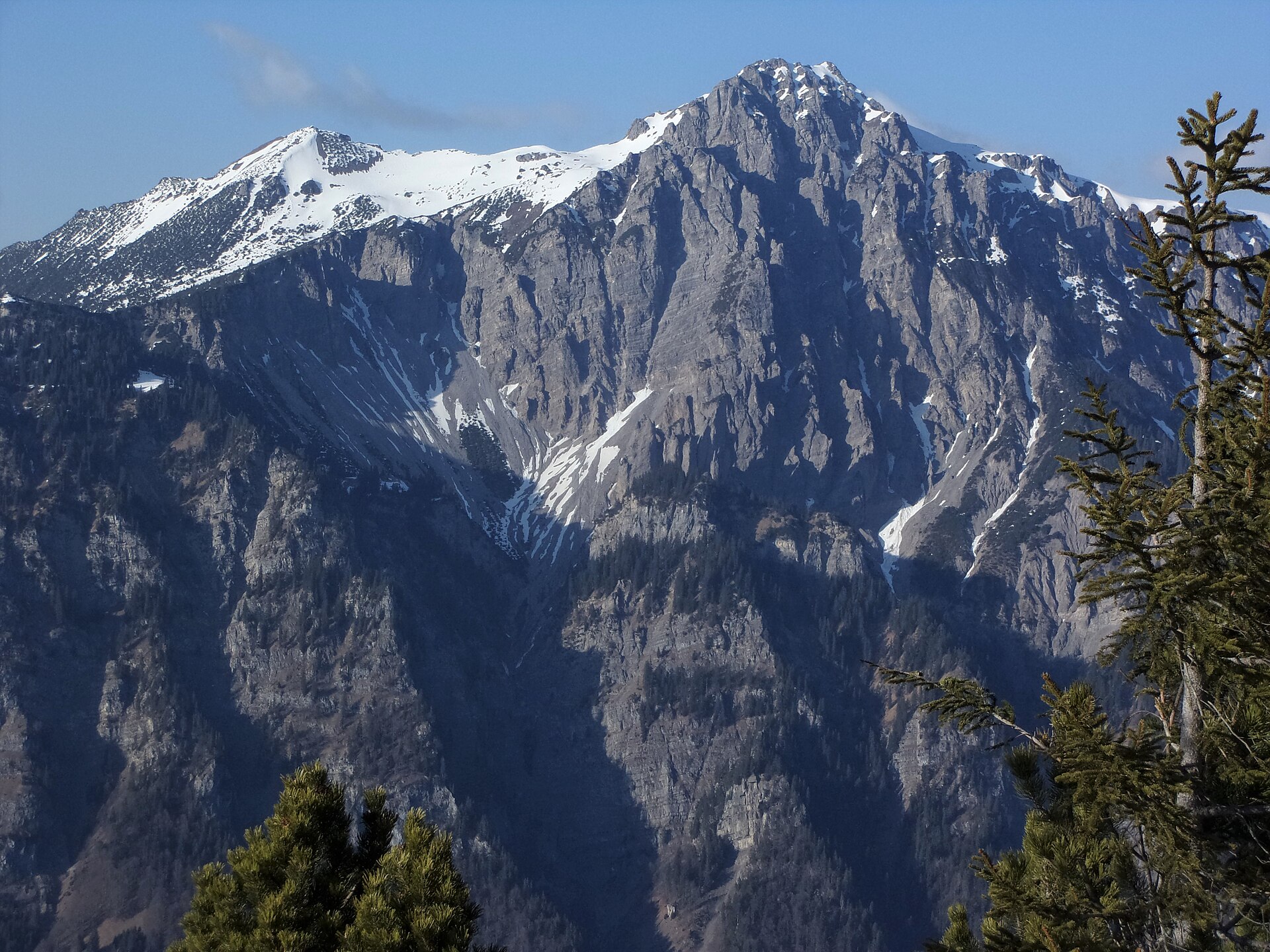
Breithorn
2.7 km away, in Nüziders
A broad summit on the ridge Nüziders shares with the Große Walsertal.
PeakVisor / OpenStreetMapJohannes-Nepomuk-Kirche
2.8 km away, in Lorüns
The filial church of Lorüns, dedicated to John of Nepomuk.
PeakVisor / OpenStreetMapElser Novakopf
3 km away, in Raggal
A summit on the ridge above Marul, at the edge of the Faludriga-Nova reserve.
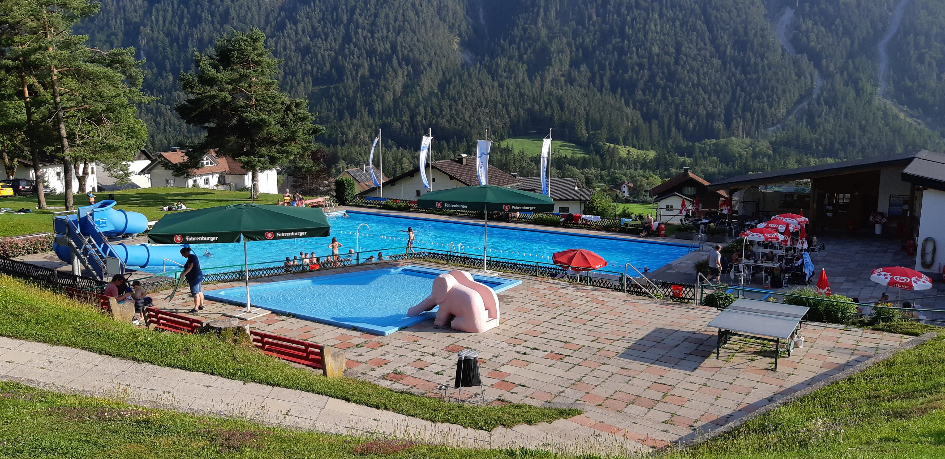
Freibad Braz
3.5 km away, in Innerbraz
The village open-air pool, where the valley cools off on a hot day.
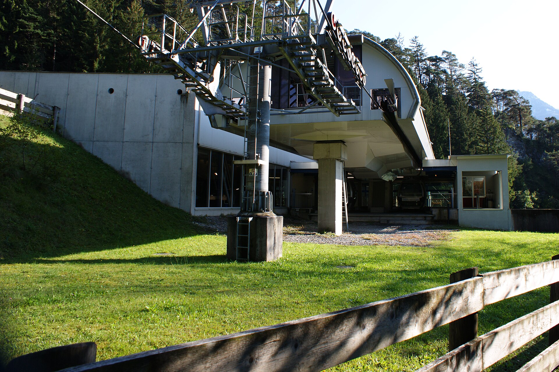
Muttersbergbahn
3.8 km away, in Nüziders
The aerial cable car from Bludenz-Hinterplärsch to the Muttersberg, the shortest way from the town to the tree line.
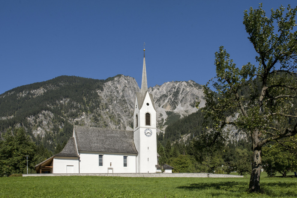
PeakVisor / OpenStreetMapPfarrkirche Hl. Nikolaus
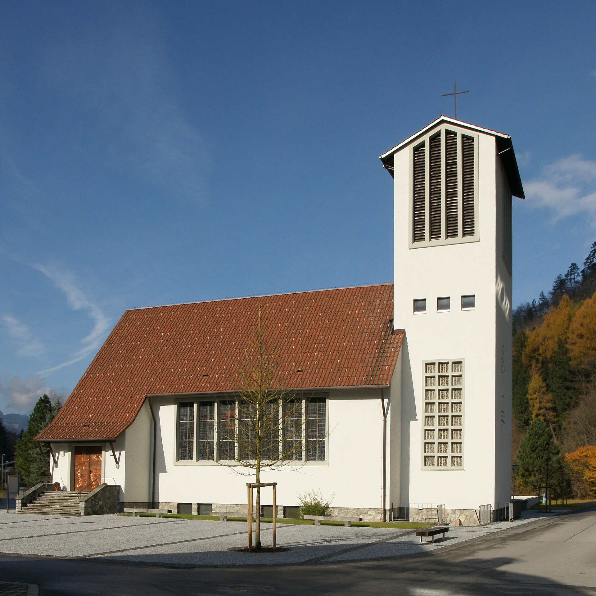
3.9 km away, in Innerbraz
The parish church of Braz, at the foot of the Klostertal.
Madeisakopf
4.1 km away, in Nüziders
A low top on the Muttersberg shelf, reached on the shortest of its rounds.
Pfarrkirche St. Anton i. M
4.3 km away, in St. Anton im Montafon
The parish church of St. Anton, at the very mouth of the Montafon.
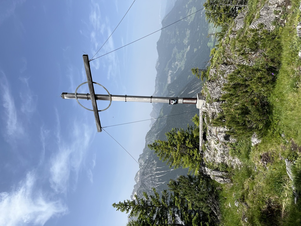
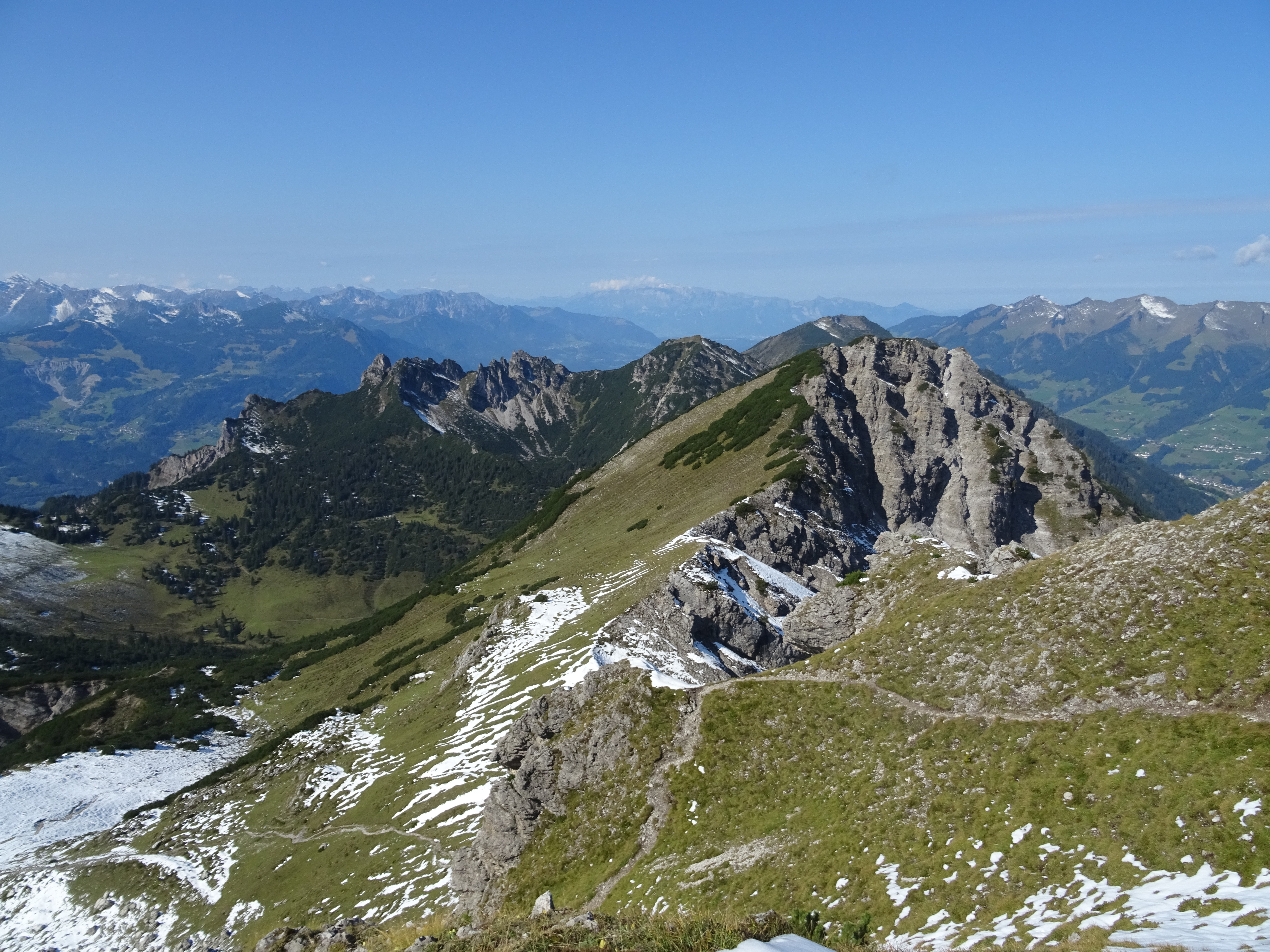
 Historic site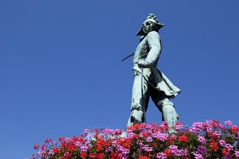
 Cable car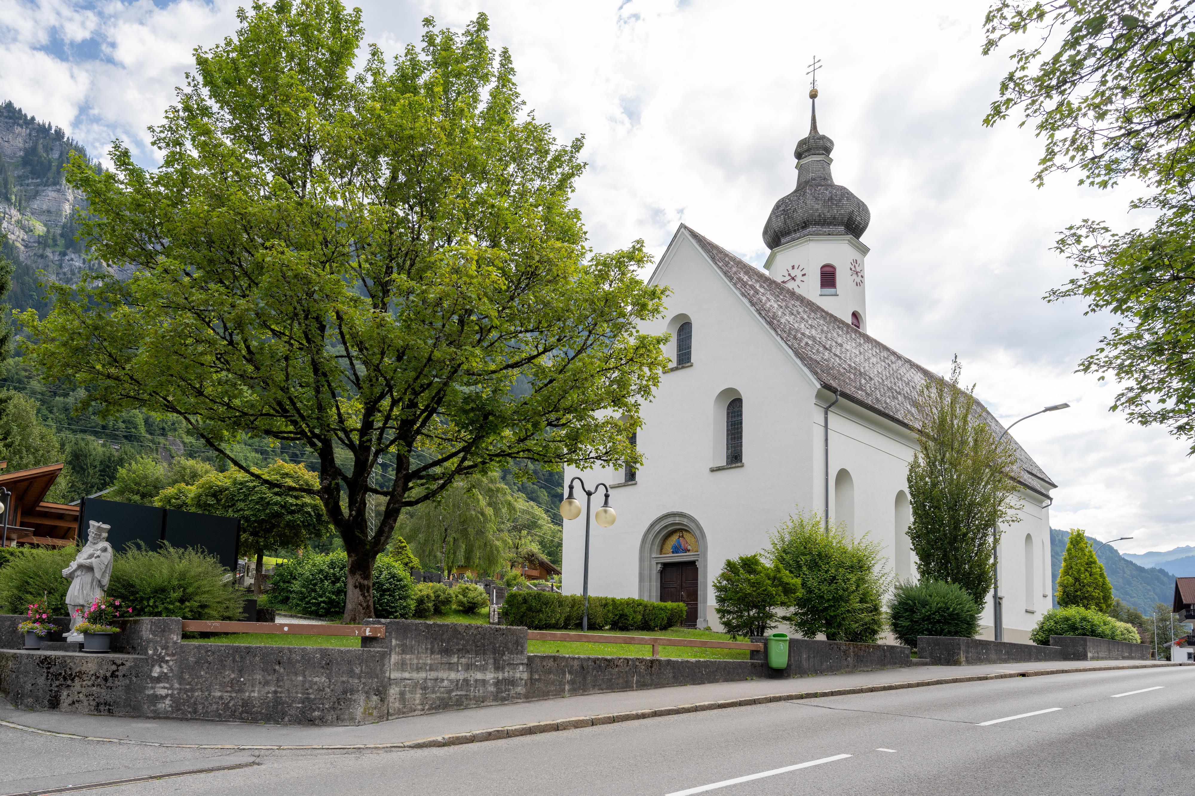
Nothing of this kind in Bludenz.
Routes
Allmeinweg
An easy walk above Braz, open to the Klostertal and the Roggelskopf.
- 4.7 km
- Distance
- 62 m
- Ascent
- 1 h 15 min
- Duration
Open route Alpenregion VorarlbergAlfenz-Rundweg
An easy winter round along the Alfenz as it runs through Braz.
- 7.6 km
- Distance
- 71 m
- Ascent
- 1 h 58 min
- Duration
Open route Alpenregion Vorarlberg2-Tages-Tour Formarinsee
A two-day round in the Lechquellen mountains to the Formarinsee, a lake the country counts among its finest places.
- 18.8 km
- Distance
- 1 544 m
- Ascent
- 9 h 35 min
- Duration
Open route Alpenregion Vorarlberg5-Täler Mountainbike-Stern-Tour (Etappe 1)
The first day of the five-valley mountain-bike round ridden as a star from a base in Bludenz.
- 30.7 km
- Distance
- 1 259 m
- Ascent
- 3 h 55 min
- Duration
Open route Alpenregion VorarlbergRundwanderung Unterrifats
A round along the shaded bank of the Alfenz, past the golf course on the north side of the valley.
- 5.0 km
- Distance
- 73 m
- Ascent
- 1 h 21 min
- Duration
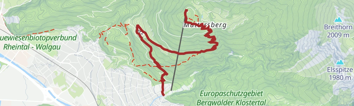
Open route Alpenregion VorarlbergAuf den Muttersberg
The climb from Bludenz to the Muttersberg, the local hill of both Bludenz and Nüziders.
- 5.7 km
- Distance
- 754 m
- Ascent
- 3 h 4 min
- Duration
Open route Alpenregion Vorarlberg2-Tages-Tour Formarinsee (Etappe 1)
The first day of a two-day round in the Lechquellen mountains, ending at the Formarinsee.
- 10.5 km
- Distance
- 1 523 m
- Ascent
- 6 h 31 min
- Duration
Open route Alpenregion Vorarlberg5-Täler Mountainbike-Stern-Tour (Etappe 2)
The second day of the five-valley mountain-bike round ridden as a star from a base in Bludenz.
- 55.8 km
- Distance
- 1 415 m
- Ascent
- 6 h 17 min
- Duration
Open route Alpenregion VorarlbergRundwanderweg Allmeinkreuz
A round above Braz looking across at the Roggelskopf, the most distinctive shape on that side.
- 5.2 km
- Distance
- 195 m
- Ascent
- 1 h 41 min
- Duration
Open route Alpenregion VorarlbergMason-Wasserfall
An interpretive path to the Mason waterfall in Braz, in the Klostertal.
- 7.9 km
- Distance
- 567 m
- Ascent
- 3 h 47 min
- Duration
Open route Alpenregion Vorarlberg3-Tages-Hüttentour Faludriga Nova
Three days from the Muttersberg cable car over the Frassenhütte and the Freiburger Hütte down to Außerbraz.
- 33.9 km
- Distance
- 2 830 m
- Ascent
- 18 h
- Duration
Open route Alpenregion Vorarlberg5-Täler Mountainbike-Stern-Tour (Etappe 3)
The third day of the five-valley star round, the shortest of the four legs.
- 32.6 km
- Distance
- 1 152 m
- Ascent
- 3 h 59 min
- Duration
Open route Alpenregion VorarlbergRundweg zur Klangraststätte "Hellwald"
A round above the town to the Hellwald sound station, where the installations are made to be played with.
- 5.5 km
- Distance
- 321 m
- Ascent
- 2 h 15 min
- Duration
Open route Alpenregion VorarlbergOberer Armatin-Höhenweg
The restored Upper Armatin high path, dropping from the shelf back down into the town.
- 7.6 km
- Distance
- 248 m
- Ascent
- 3 h 26 min
- Duration
Open route Alpenregion VorarlbergGamsfreiheit 2.211 m
A summit round to the Gamsfreiheit at 2,211 m, looking into the Große Walsertal, the Klostertal and the Montafon.
- 17.7 km
- Distance
- 1 048 m
- Ascent
- 7 h 18 min
- Duration
Open route Alpenregion Vorarlberg5-Täler Mountainbike-Tour (Etappe 1)
The first stage of the five-valley tour, linking the valleys around Bludenz in four days.
- 23.9 km
- Distance
- 1 279 m
- Ascent
- 3 h 7 min
- Duration
Open route Alpenregion VorarlbergSunna-Weg (Etappe 3)
The third stage of the Sunna-Weg, from Rungelin in Bludenz out to Braz.
- 6.4 km
- Distance
- 332 m
- Ascent
- 2 h 15 min
- Duration
Open route Alpenregion VorarlbergSunna-Weg (Etappe 2)
The second stage of the Sunna-Weg, from the Daneu bridge in Bludenz up to Rungelin.
- 6.5 km
- Distance
- 352 m
- Ascent
- 2 h 40 min
- Duration
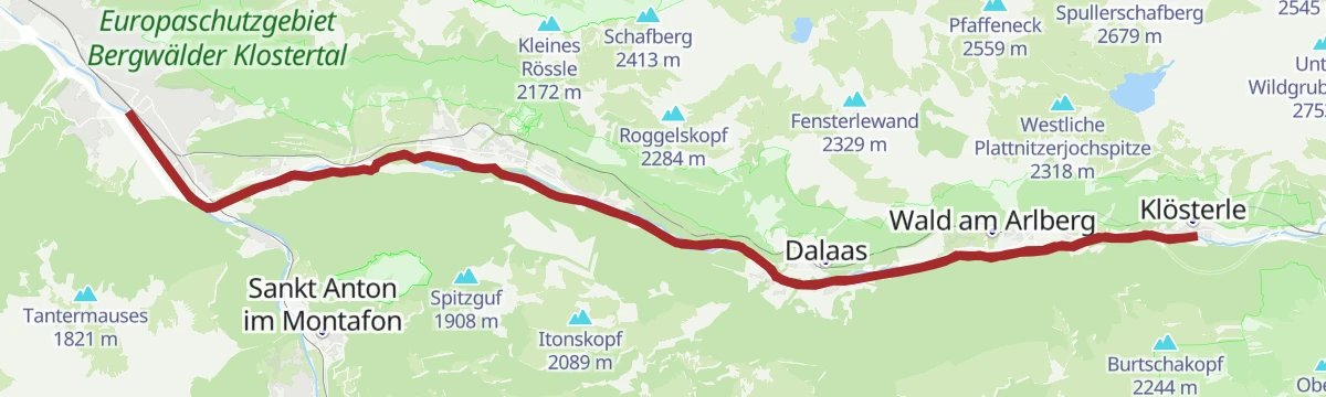
Open route Alpenregion VorarlbergJakobsweg: Klösterle am Arlberg bis Bludenz
The stretch of the Way of St James that runs from Klösterle down the Klostertal to Bludenz.
- 24.8 km
- Distance
- 361 m
- Ascent
- 7 h 10 min
- Duration
Open route Alpenregion Vorarlberg5-Täler Mountainbike-Tour (Etappe 3)
The third stage of the five-valley tour, the longest of the four days.
- 41.3 km
- Distance
- 1 251 m
- Ascent
- 5 h 12 min
- Duration
Open route Alpenregion VorarlbergWaldlehrpfad
A short forest nature trail on the slope above Bludenz.
- 2.3 km
- Distance
- 124 m
- Ascent
- 1 h 2 min
- Duration
Open route Alpenregion VorarlbergObere Furkla - Elser Fürkele - Muttersberg
A demanding traverse to the Muttersberg with long drops into the Walgau and the Klostertal on either side.
- 12.9 km
- Distance
- 1 302 m
- Ascent
- 6 h 42 min
- Duration
Open route Alpenregion VorarlbergAussichtsreiche Rennradrunde von Bludenz über Garsella
A road-bike round from Bludenz to Raggal by Garsella, returning over St. Gerold and Thüringerberg.
- 37.5 km
- Distance
- 743 m
- Ascent
- 4 h 2 min
- Duration
Open route Vorarlberg TourismusÜber Gasünd nach Radin
Meadow and forest ways from Gasünd by St Leonhard to the hamlet of Radin.
- 4.2 km
- Distance
- 257 m
- Ascent
- 1 h 34 min
- Duration
Open route Alpenregion VorarlbergSunna-Weg
A cultural-history theme trail opened in 2019, running through Nüziders, Bludenz and Braz.
- 17.0 km
- Distance
- 796 m
- Ascent
- 5 h 49 min
- Duration
Open route Alpenregion VorarlbergBludenz - Muttersberg - Alpe Els
A mountain-bike climb to the Muttersberg, the local hill of both Bludenz and Nüziders, and on to the Alpe Els.
- 26.6 km
- Distance
- 1 229 m
- Ascent
- 3 h 31 min
- Duration
Open route Alpenregion VorarlbergGraveltour Brandnertal
A gravel round from Bludenz to Brand and back by the Parpfienzalpe, Nenzing and Schnifis.
- 57.3 km
- Distance
- 1 873 m
- Ascent
- 6 h 51 min
- Duration
Open route Vorarlberg TourismusGraveltour Brandnertal – Walgau
A long gravel round from Bludenz up the Brandnertal and back across the Walgau, steep in places.
- 57.4 km
- Distance
- 1 528 m
- Ascent
- 6 h 32 min
- Duration
Open route Vorarlberg TourismusIllradweg Schruns - Bludenz
An easy ride along the Ill, winding down the valley from Schruns to Bludenz and back.
- 26.5 km
- Distance
- 133 m
- Ascent
- 2 h 29 min
- Duration
Open route Montafon TourismusKlostertal Radweg
The Klostertal cycle way, running the length of the valley from Bludenz up to Klösterle and back.
- 47.3 km
- Distance
- 540 m
- Ascent
- 4 h 42 min
- Duration
Open route Alpenregion VorarlbergMontafon - Walgau Runde
A flat round out of the Montafon and down the Walgau as far as Nenzing, returning along the Ill.
- 49.9 km
- Distance
- 213 m
- Ascent
- 4 h 38 min
- Duration
Open route Montafon TourismusWasserstubental Tour
A long ride from the Montafon up the Wasserstubental to the Sonnenkopf and down into the Klostertal.
- 57.9 km
- Distance
- 1 285 m
- Ascent
- 6 h 21 min
- Duration
Open route Vorarlberg Tourismus








No routes of this kind in Bludenz yet.
Planning a trip to Bludenz?
Everything else Vorarlberg has, in one place


Take Bludenz with you into the mountains
Every route on this page with 3D terrain, GPX navigation and offline maps — including the valleys with no signal.
Data sources
- Official website: vorarlberg-alpenregion.at ↗
- Routes and highlights: Alpenregion Vorarlberg, PeakVisor / OpenStreetMap, Vorarlberg Tourismus, Montafon Tourismus
- Published as open data by the tourist boards named above.
- Region summary generated from the board's own material.
