
Curated by Alpenregion Vorarlberg
Blons
A Walser village on the sunny slope of the Großes Walsertal above the Lutz, remembered for the 1954 avalanche disaster and rebuilt with pioneering protections.
- 6Highlights
- 8Routes
Highlights
9 from neighbouring places
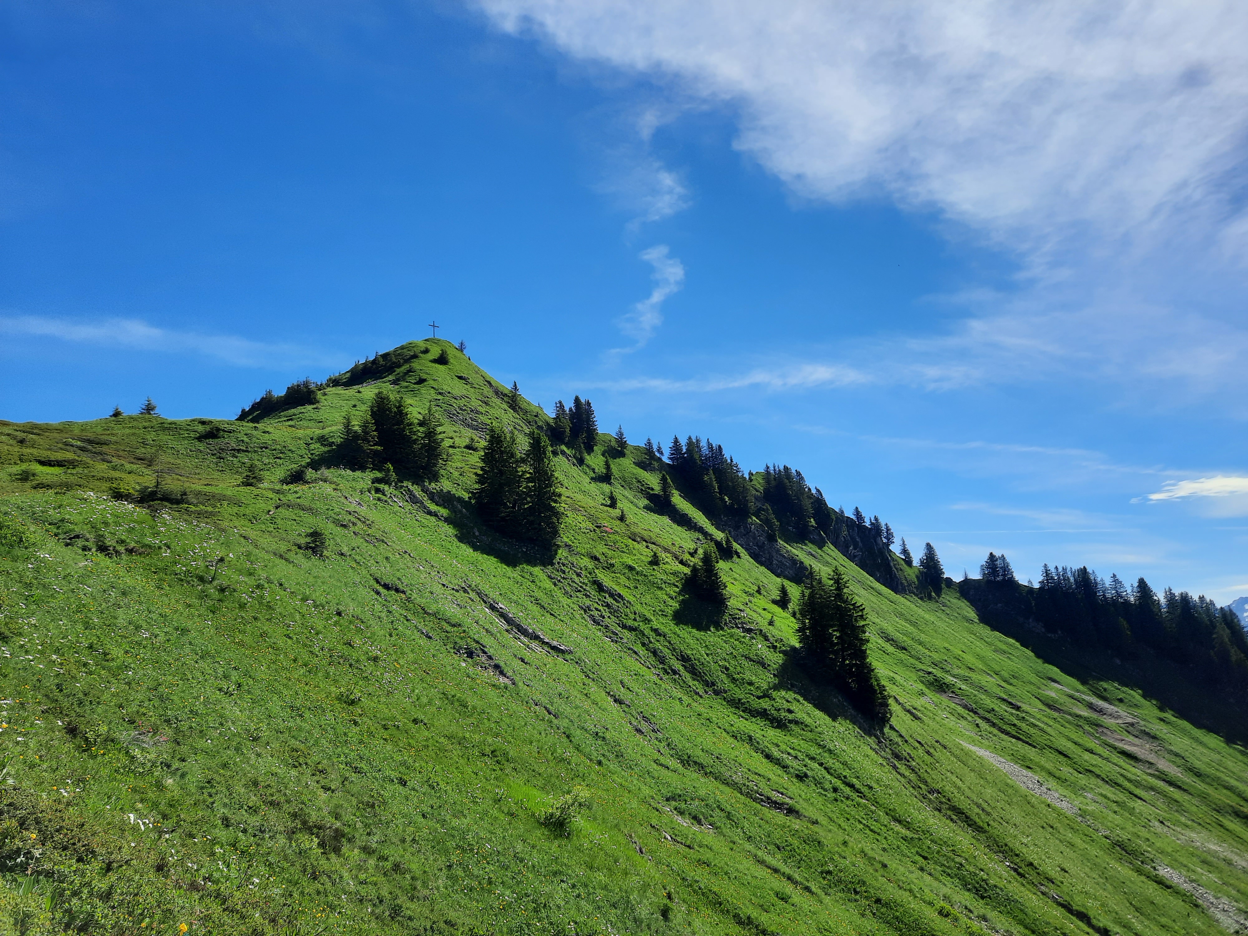
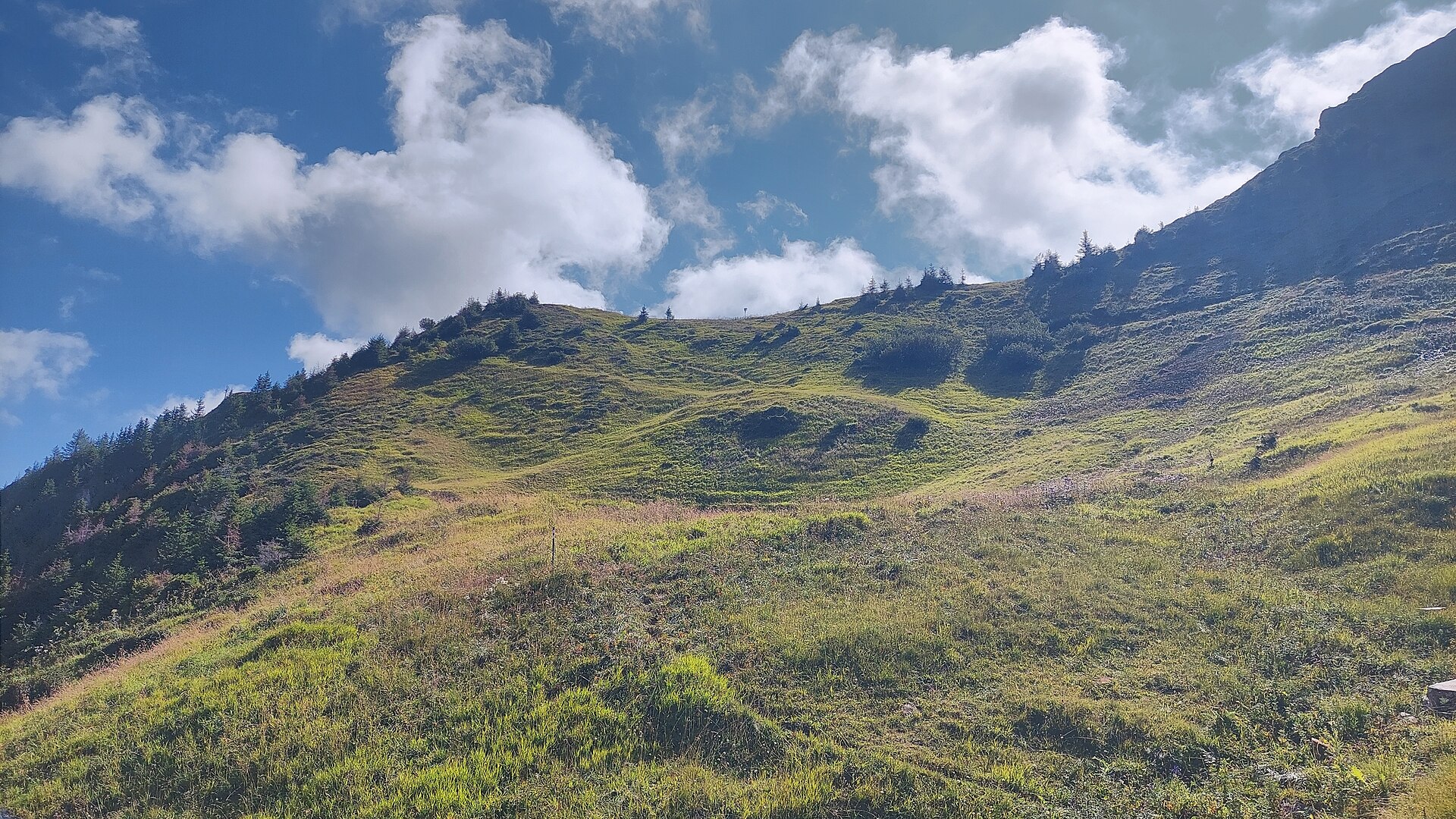
Falvkopf
The hill straight above Blons, and the shortest way to see the whole ring of the valley.
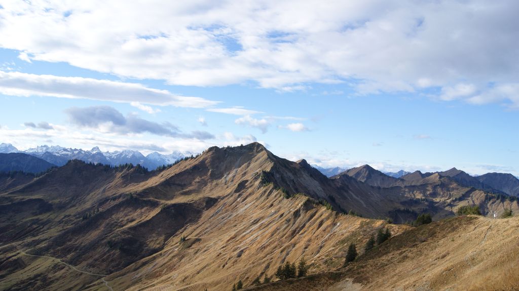
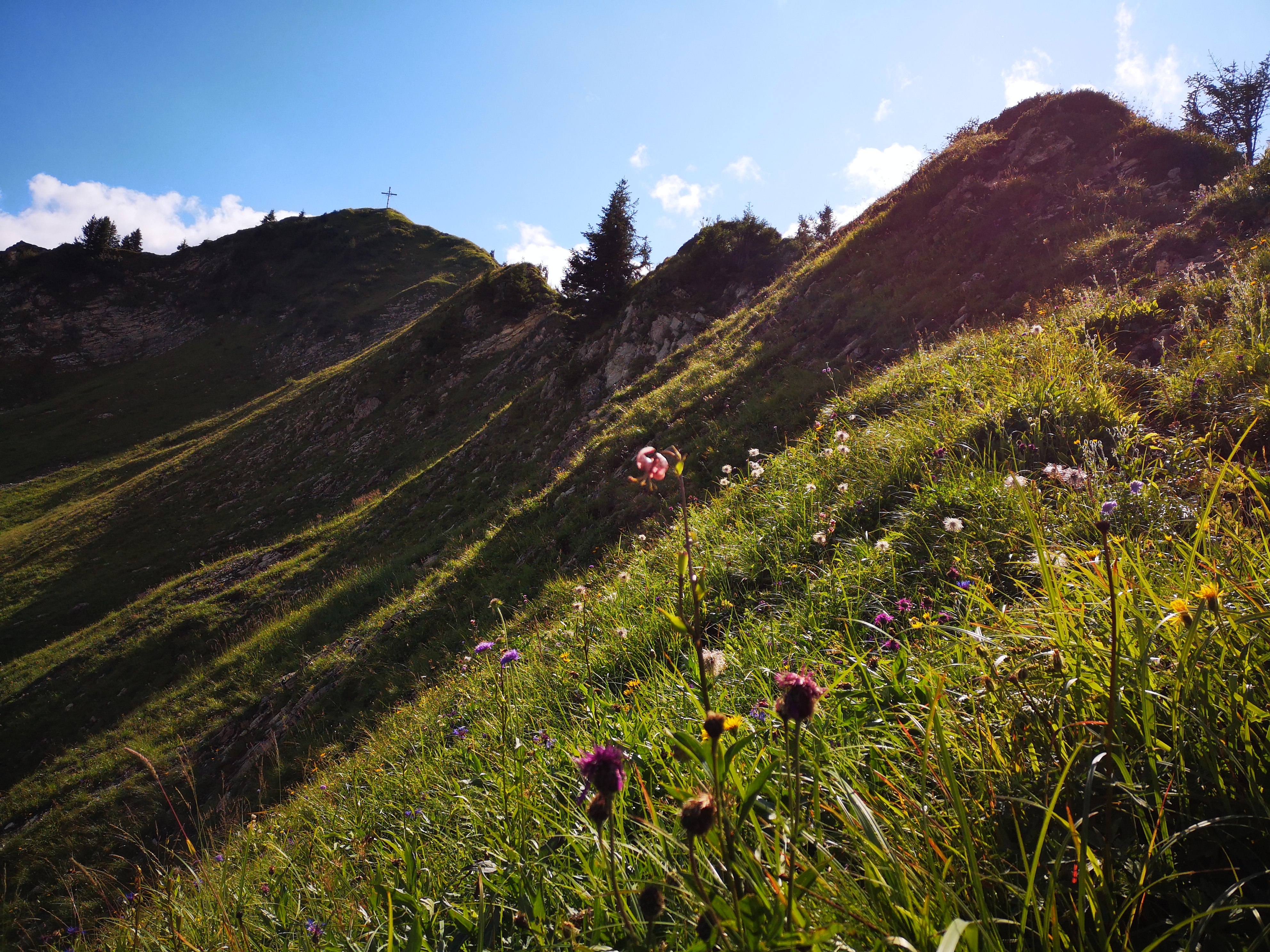
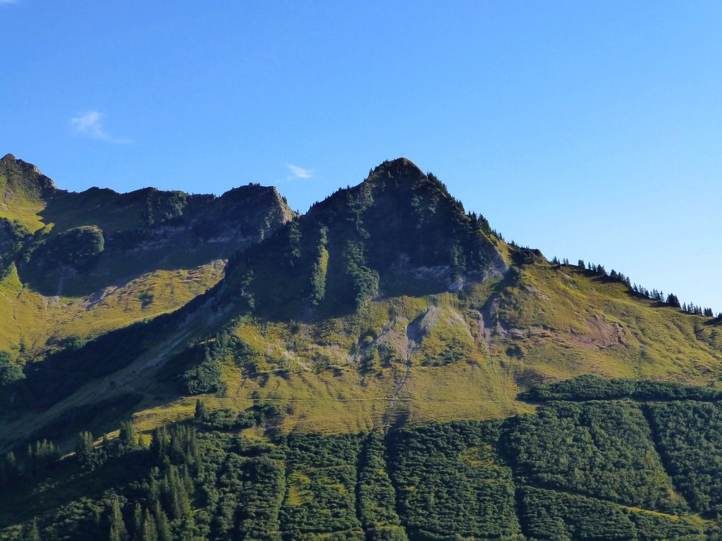
Löffelspitze
A summit of the Walserkamm standing where the ground of Blons, St. Gerold and Laterns meet.
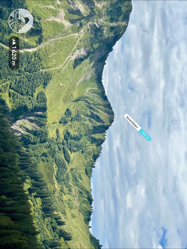
Seraspitz
A top on the Walserkamm above the Alpe Sera, looking the length of the valley.
Puppenmuseum
A collection of dolls and toys, gathered in a village of a few hundred people.
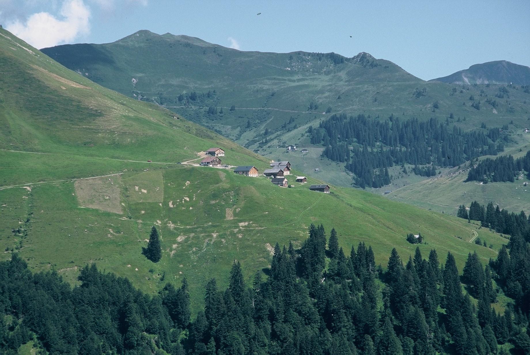
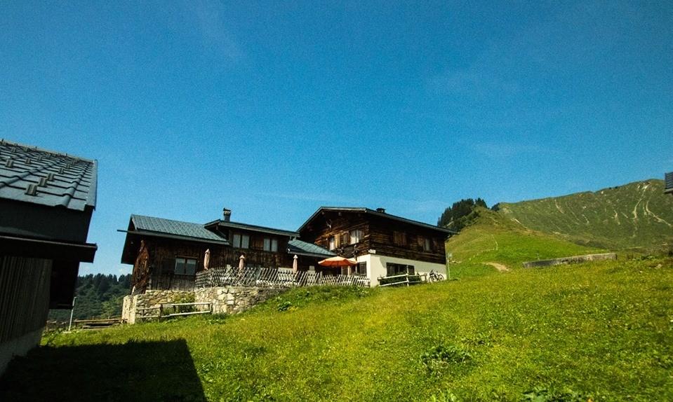
Alpe Sera
A working alp under the Walserkamm, inside the Große Walsertal biosphere reserve.
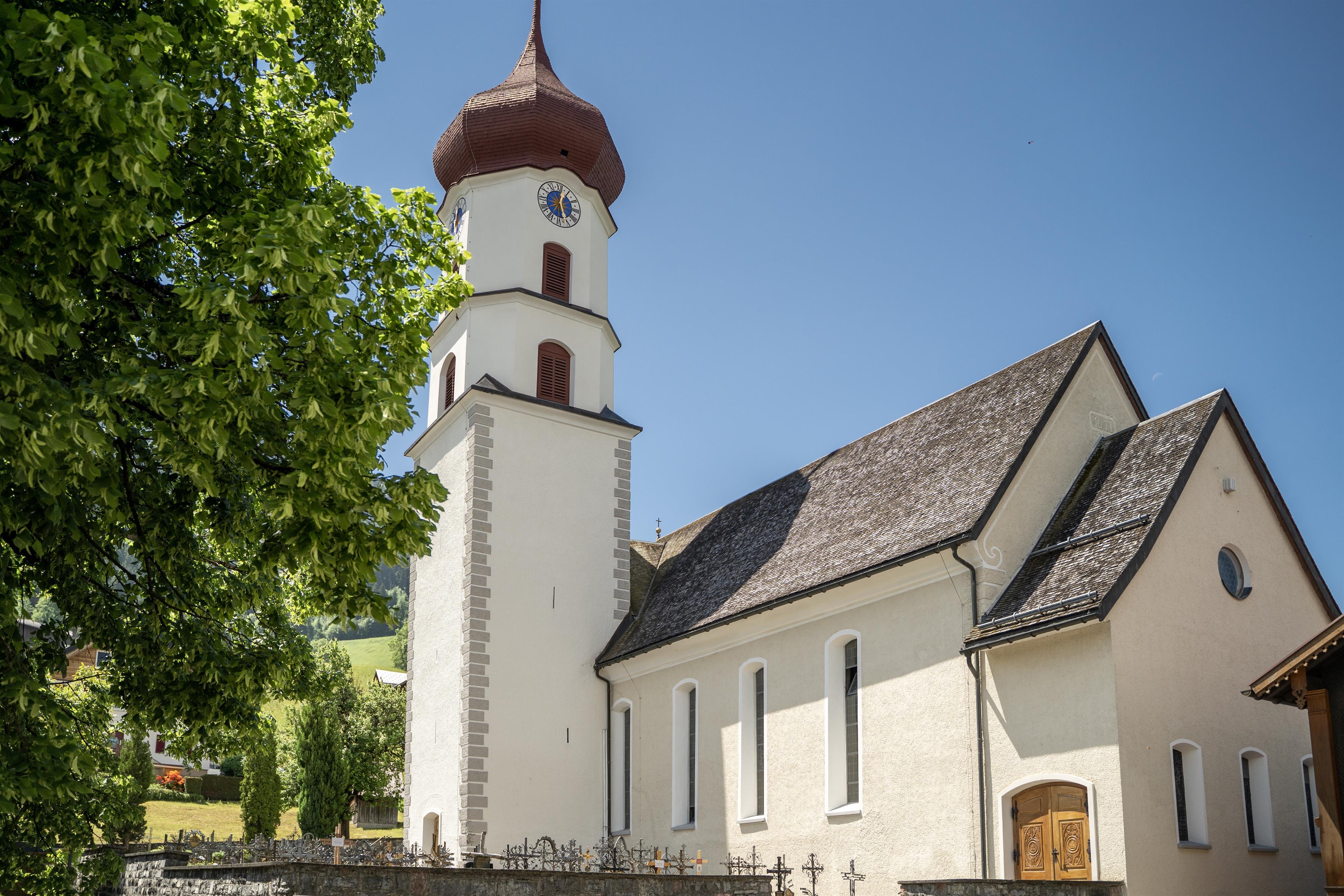
Pfarrkirche Mariä Unbefleckte Empfängnis
The parish church of Blons, on the terrace the village was rebuilt around.
Gerenspitze
2.9 km away, in St. Gerold
The summit above the Plansott and Gaßner alps, wide open over the biosphere reserve.
Propstei St. Gerold
3 km away, in St. Gerold
The priory the village is named for, today a house for music, courses and quiet in the biosphere reserve.
Pfarrkirche zu Sankt Nikolaus und Theodul
3.2 km away, in Raggal
The parish church of Raggal, on the sunny terrace above the Lutz.
Gaßneralpe
3.3 km away, in St. Gerold
An alp on the slope below the Walserkamm, worked through the summer.
Damülser Horn
4 km away, in Fontanella
A secondary top of the Glatthorn, on the Fontanella side of the group.
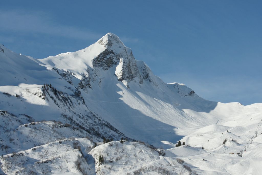
Glatthorn
4 km away, in Fontanella
At 2,133 m the highest of the Bregenzerwald mountains, standing west above the Faschinajoch.
Schluchtensattel
4.1 km away, in Fontanella
A saddle on the ridge between the Glatthorn group and the head of the Walsertal.
Alpe Portla
4.4 km away, in Damüls
A cattle alp at about 1,710 m, some 400 m off the Furka road and a mile and a half from the Furkajoch.
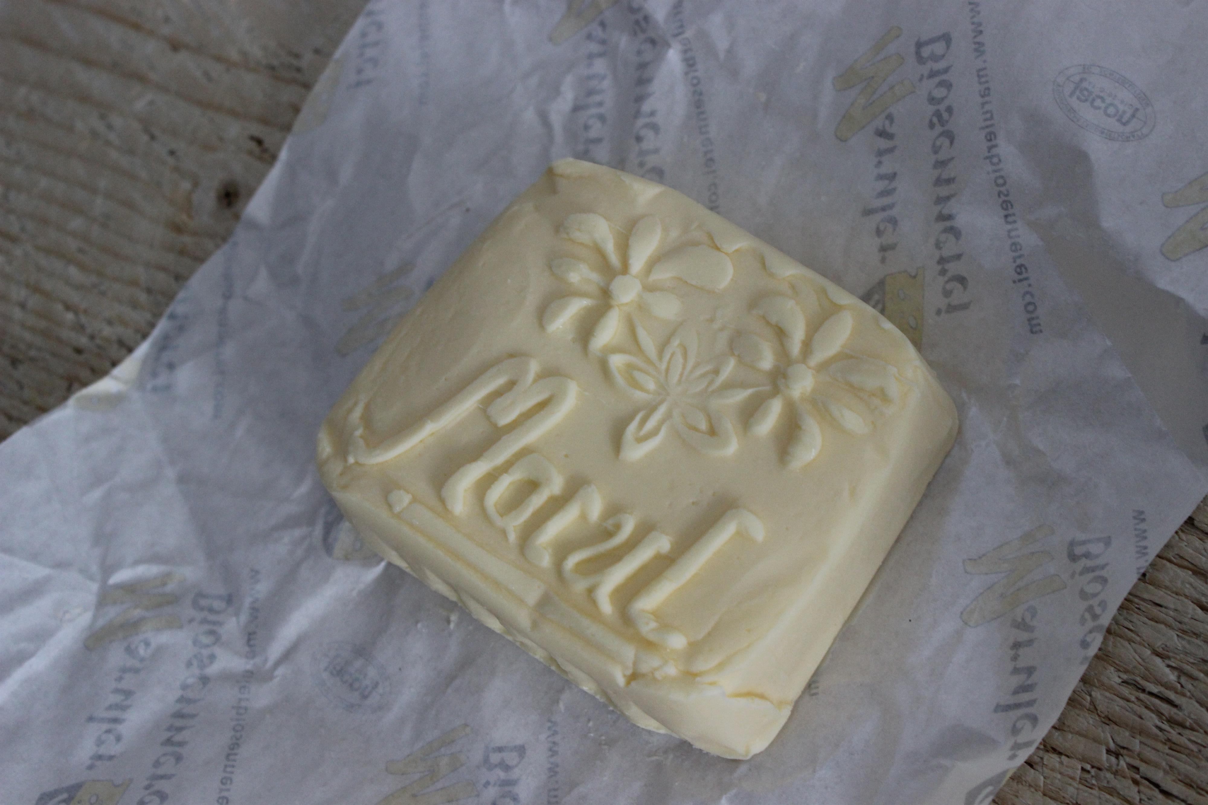
Maruler Biosennerei
4.5 km away, in Raggal
The dairy at Marul still makes cheese the way the valley always did.

 Mountain hut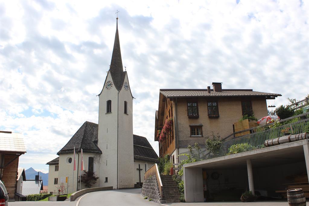
 Mountain pass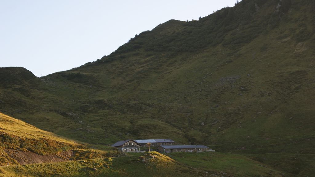
Nothing of this kind in Blons.
Routes
12 from neighbouring places
Leusorgweg
The Leusorgweg and two further avalanche paths, with a documentation centre recalling the avalanches that struck Blons in January 1954.
- 5.8 km
- Distance
- 309 m
- Ascent
- 2 h 12 min
- Duration
Open route Alpenregion VorarlbergAlpwanderung am Walserkamm
Alp to alp along the Walserkamm, a long day for walkers with stamina.
- 17.5 km
- Distance
- 942 m
- Ascent
- 6 h 45 min
- Duration
Open route Alpenregion VorarlbergAussichtsreiche Rennradrunde von Bludenz über Garsella
A road-bike round from Bludenz to Raggal by Garsella, returning over St. Gerold and Thüringerberg.
- 37.5 km
- Distance
- 743 m
- Ascent
- 4 h 2 min
- Duration
Open route Vorarlberg TourismusFalvkopf 1.849 m
The Falvkopf at 1,849 m, straight above Blons and open to the whole ring of the valley.
- 12.4 km
- Distance
- 920 m
- Ascent
- 6 h 2 min
- Duration
Open route Alpenregion VorarlbergZur Alpe Sera
A mountain-bike climb to the Alpe Sera under the Walserkamm, with the valley's peaks laid out opposite.
- 18.9 km
- Distance
- 865 m
- Ascent
- 2 h 30 min
- Duration
Open route Alpenregion VorarlbergLöffelspitze 1.962 m
One of the finest walks in the valley, passing the Sentum Alpe on the way up the Löffelspitze at 1,962 m.
- 21.5 km
- Distance
- 1 322 m
- Ascent
- 9 h 5 min
- Duration
Open route Alpenregion VorarlbergWalserherbst „Land Art“-Wanderung | Blons
A walk from Blons up the Walserkamm to Matthias Würfel's land-art installation near the Alpe Sera.
- 13.3 km
- Distance
- 1 046 m
- Ascent
- 5 h 25 min
- Duration
Open route Vorarlberg TourismusWalserweg
The historic Walserweg: before there were roads in the Große Walsertal, these footpaths were what joined the villages.
- 20.0 km
- Distance
- 1 141 m
- Ascent
- 7 h 2 min
- Duration
Open route Alpenregion VorarlbergZur Plansott Alpe
2.8 km away, in St. Gerold
A straightforward ride up to the Plansott Alpe, open over the Große Walsertal the whole way.
- 12.8 km
- Distance
- 654 m
- Ascent
- 1 h 48 min
- Duration
Open route Alpenregion VorarlbergDamüls Faschina | Sonnenauf- und Sonnenuntergangswanderung auf die Sünserspitze
4 km away, in Damüls
A sunrise or sunset walk to the Sünserspitze above the Mellental, starting at the Furkastraße pass.
- 9.1 km
- Distance
- 494 m
- Ascent
- 3 h 30 min
- Duration
Open route Vorarlberg TourismusDamüls | Skitour Portlahorn
4.4 km away, in Damüls
The short version of the Portlahorn tour, suitable for beginners and often skinned at sunrise or sunset.
- 1.7 km
- Distance
- 381 m
- Ascent
- 0 m
- Descent
- 1 h 1 min
- Duration
Open route Vorarlberg TourismusMarul - Guggernülli
4.5 km away, in Raggal
Guggernülli from Marul: 753 m of climbing in 2.9 km, topping out at 1,727 m.
- 2.4 km
- Distance
- 0 m
- Ascent
- 0 m
- Descent
- 35 min
- Duration
Open route PeakVisor tTRL (OpenStreetMap piste_type=skitour)Wandfluh-Klettersteig
6.2 km away, in Sonntag
A well-built via ferrata at grade C on the Wandfluh, above Sonntag-Stein.
- 5.0 km
- Distance
- 323 m
- Ascent
- 2 h 49 min
- Duration
Open route Alpenregion VorarlbergAu | Skitour Kanisfluh
12.6 km away, in Au
The south side of the Kanisfluh, whose north wall drops over 1,200 m — a fine and in places steep ski tour.
- 5.8 km
- Distance
- 1 206 m
- Ascent
- 0 m
- Descent
- 3 h 17 min
- Duration
Open route Vorarlberg TourismusKlettersteig Wasserfall St. Anton im Montafon
14.5 km away, in St. Anton im Montafon
A striking via ferrata close to the valley floor, steep and easily reached from the village.
- 2.7 km
- Distance
- 389 m
- Ascent
- 2 h 48 min
- Duration
Open route Montafon TourismusWeg der Sinne - Weg der Stille
3 km away, in St. Gerold
A meditation path of quietly laid ways, ponds and benches, made for stopping rather than covering ground.
- 2.4 km
- Distance
- 133 m
- Ascent
- 56 min
- Duration
Open route Alpenregion Vorarlberg2-Alpen-Tour
2.8 km away, in St. Gerold
A panoramic mountain-bike round taking in both the Gaßner and the Plansott alps.
- 15.8 km
- Distance
- 762 m
- Ascent
- 2 h 8 min
- Duration
Open route Alpenregion VorarlbergGerenspitze 1.871 m
2.8 km away, in St. Gerold
Over the Plansott Alpe to the Gerenspitze and back by the Gaßner Alpe, wide open over the biosphere reserve.
- 16.9 km
- Distance
- 1 007 m
- Ascent
- 6 h 60 min
- Duration
Open route Alpenregion VorarlbergZur Gaßner Alpe
2.8 km away, in St. Gerold
A climb from St. Gerold to the Gaßner Alpe, on the slope below the Walserkamm.
- 13.2 km
- Distance
- 681 m
- Ascent
- 1 h 52 min
- Duration
Open route Alpenregion VorarlbergDamüls | Sünserspitze mit Sünsersee
4.4 km away, in Damüls
The Wanderbus to the Alpe Portla, then the Sünser See and the summit, returning by the Sünser Joch.
- 8.2 km
- Distance
- 518 m
- Ascent
- 3 h 31 min
- Duration
Open route Vorarlberg Tourismus




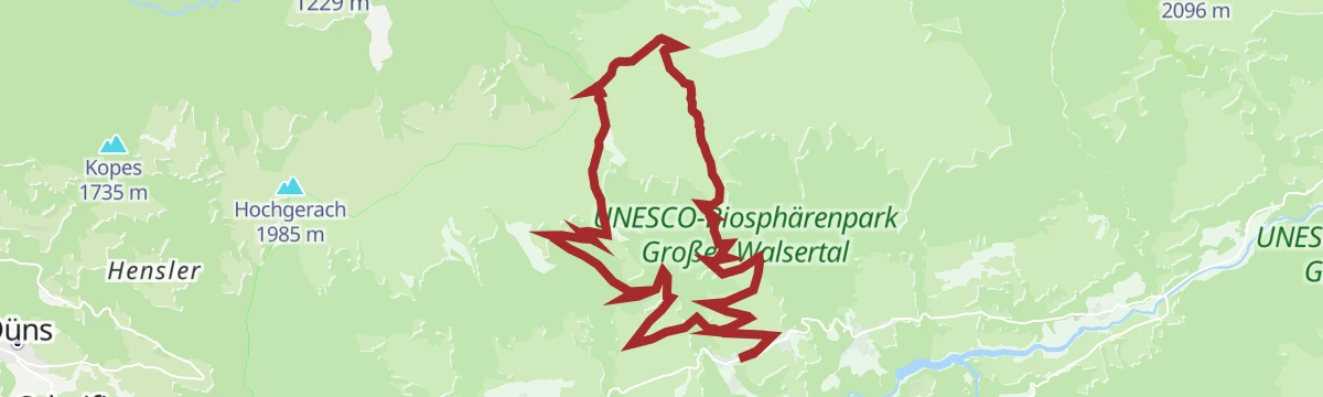


No routes of this kind in Blons yet.
Planning a trip to Blons?
Everything else Vorarlberg has, in one place


Take Blons with you into the mountains
Every route on this page with 3D terrain, GPX navigation and offline maps — including the valleys with no signal.
Data sources
- Official website: vorarlberg-alpenregion.at ↗
- Routes and highlights: Alpenregion Vorarlberg, PeakVisor / OpenStreetMap, Vorarlberg Tourismus, PeakVisor tTRL (OpenStreetMap piste_type=skitour), Montafon Tourismus
- Published as open data by the tourist boards named above.
- Region summary generated from the board's own material.
