
Curated by Kufsteinerland
Bad Häring
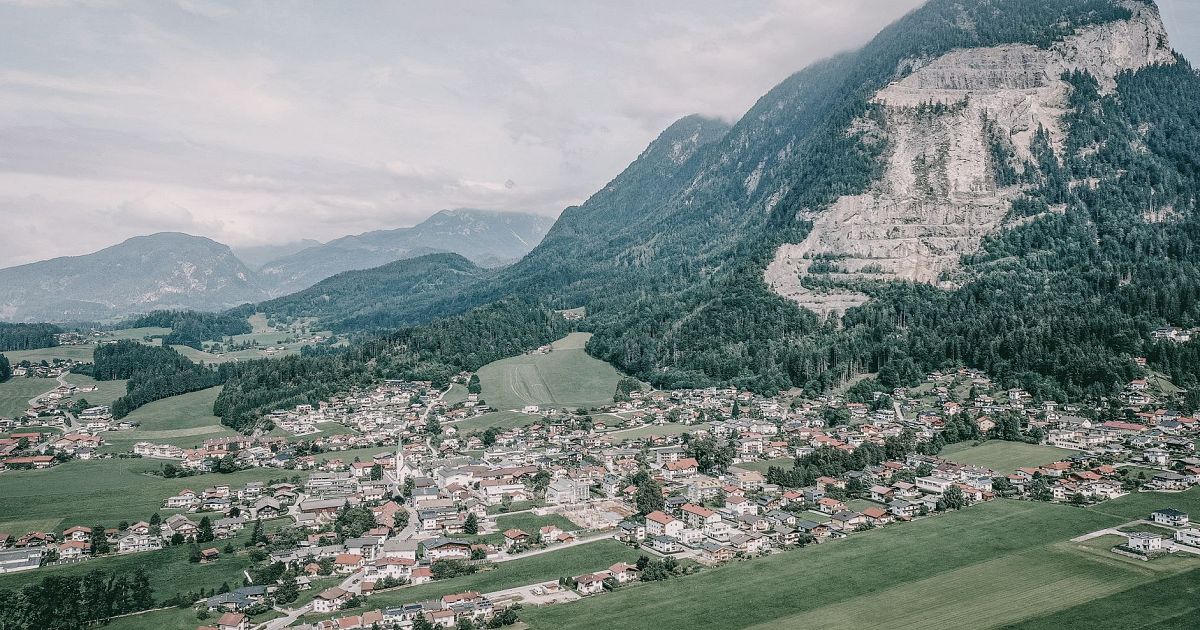
A former coal-mining village turned spa on a sunny terrace above the lower Inn valley, with sulphur springs and a large rehabilitation clinic.
- 3Highlights
- 25Routes
- Featured summit · Großer Pölven
Highlights
12 from neighbouring places
Erlebnis der Sinne
A sensory trail near Bad Häring, with stations inviting visitors to touch, listen and look as they walk through the woodland.
Haslacher Moor
A small bog near Bad Häring in the Kufsteinerland, a protected wetland crossed by local walking routes.
Häringer Erdfeuerplatz
A site at Bad Häring recalling the 'earth fires' of its coal-mining past, where escaping gas is said to have burned from the ground.
Wasserfall Bad Häring
0.7 km away, in Schwoich
A waterfall near the spa village of Bad Häring in the Kufsteinerland, reached by an easy walk through the woods.
Alpengasthaus Stallhäusl
2.4 km away, in Söll
An alpine guesthouse above Söll at the western edge of the Kufsteinerland, a rustic stop for walkers with home-style Tyrolean cooking.
Zauberteppich
3.8 km away, in Söll
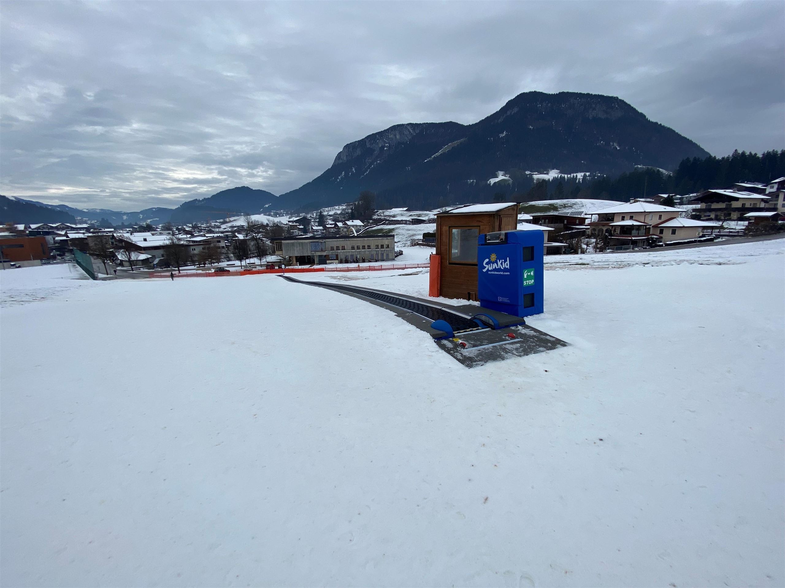
A 'magic carpet' conveyor lift on the nursery slopes at Söll, carrying beginner skiers slowly uphill without a tow.
Oberhausberg
3.9 km away, in Söll
A farmhouse hut on the slopes west of Söll, serving regional dishes with views over the village towards the Wilder Kaiser.
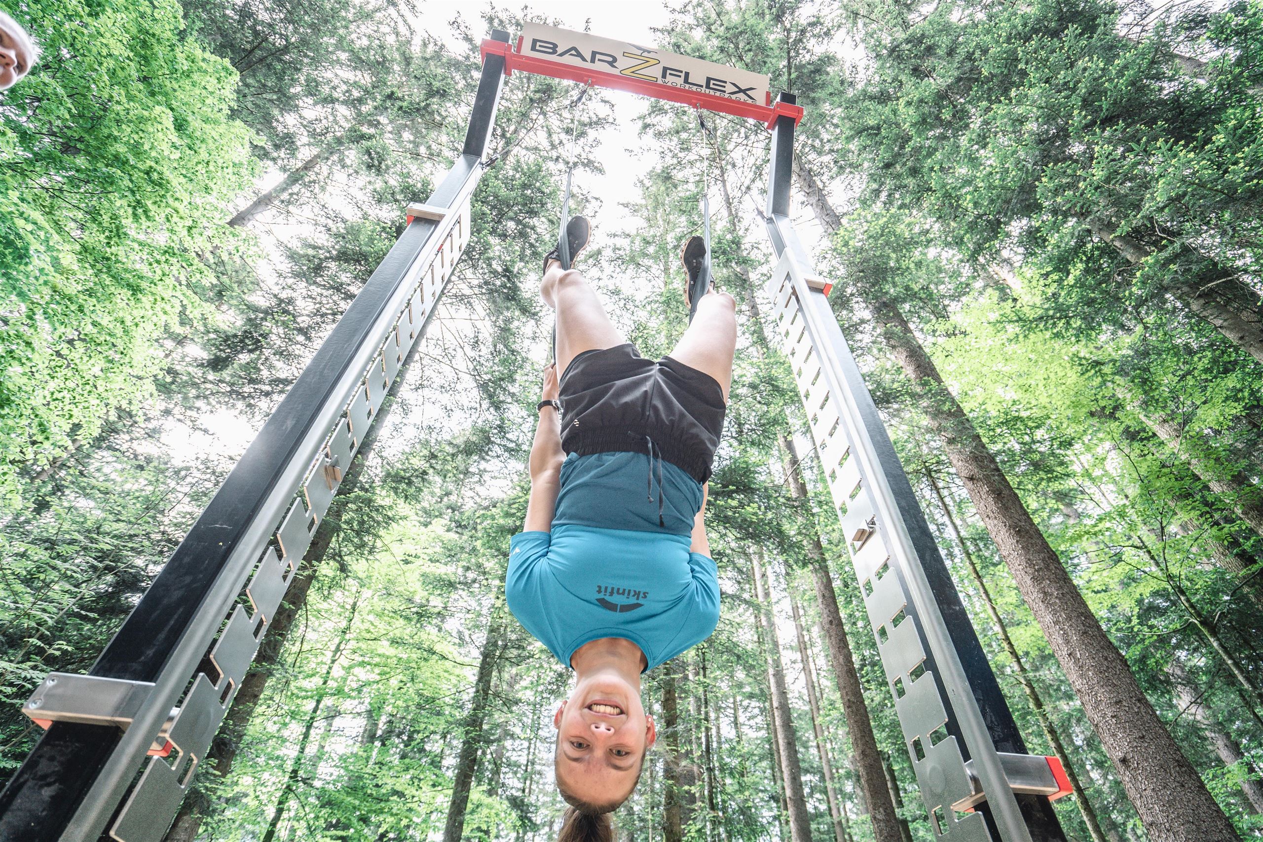
Natur Parkour
4.2 km away, in Söll
An outdoor exercise course at Söll using natural obstacles such as logs, stones and slopes for balance and strength training in the open air.
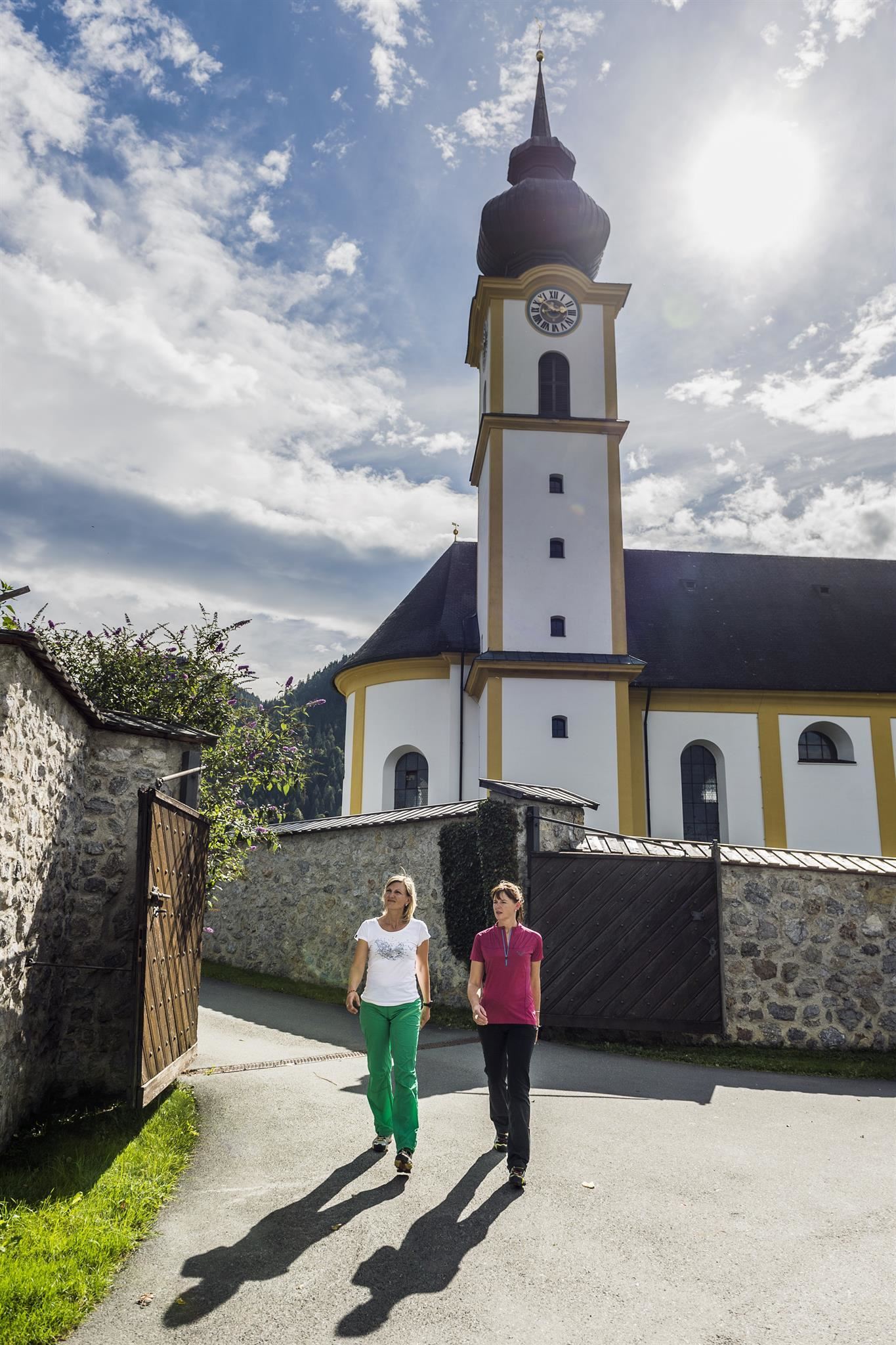
Pfarrkirche Söll "zum Hl. Peter und Paul"
4.2 km away, in Söll
Söll's baroque parish church of Sts Peter and Paul, an 18th-century building whose tower dominates the village at 690 m.
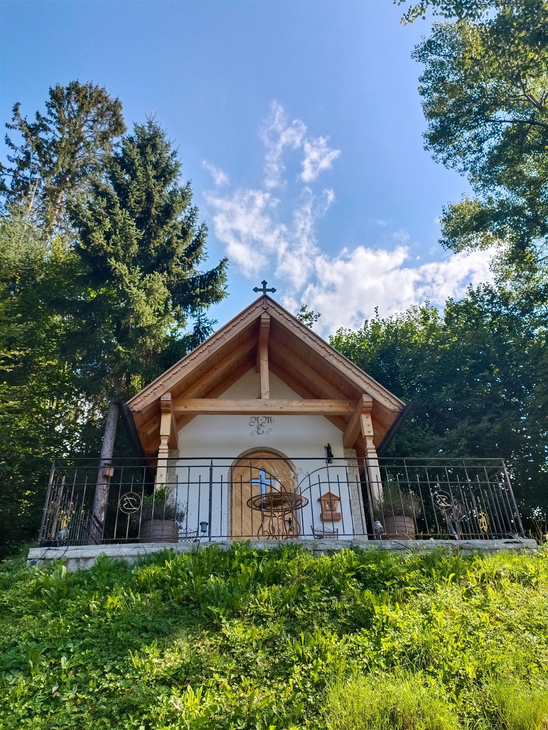
Berghofkapelle
4.2 km away, in Söll
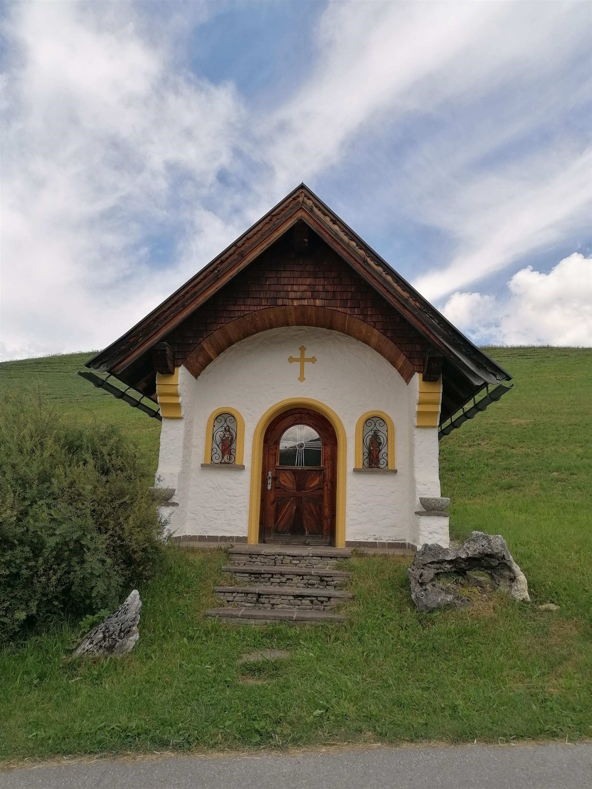
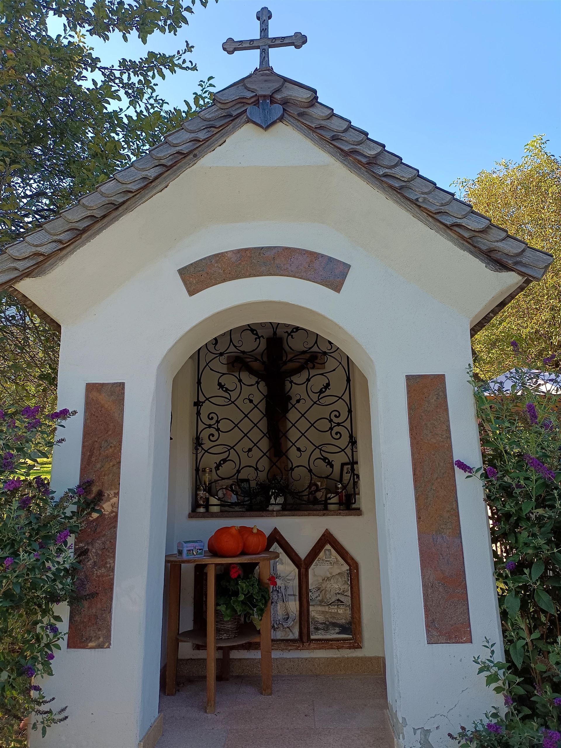
A farm chapel belonging to the Berghof near Söll, one of the village's many small chapels built by individual farmsteads.
Blaikenkapelle
4.2 km away, in Söll
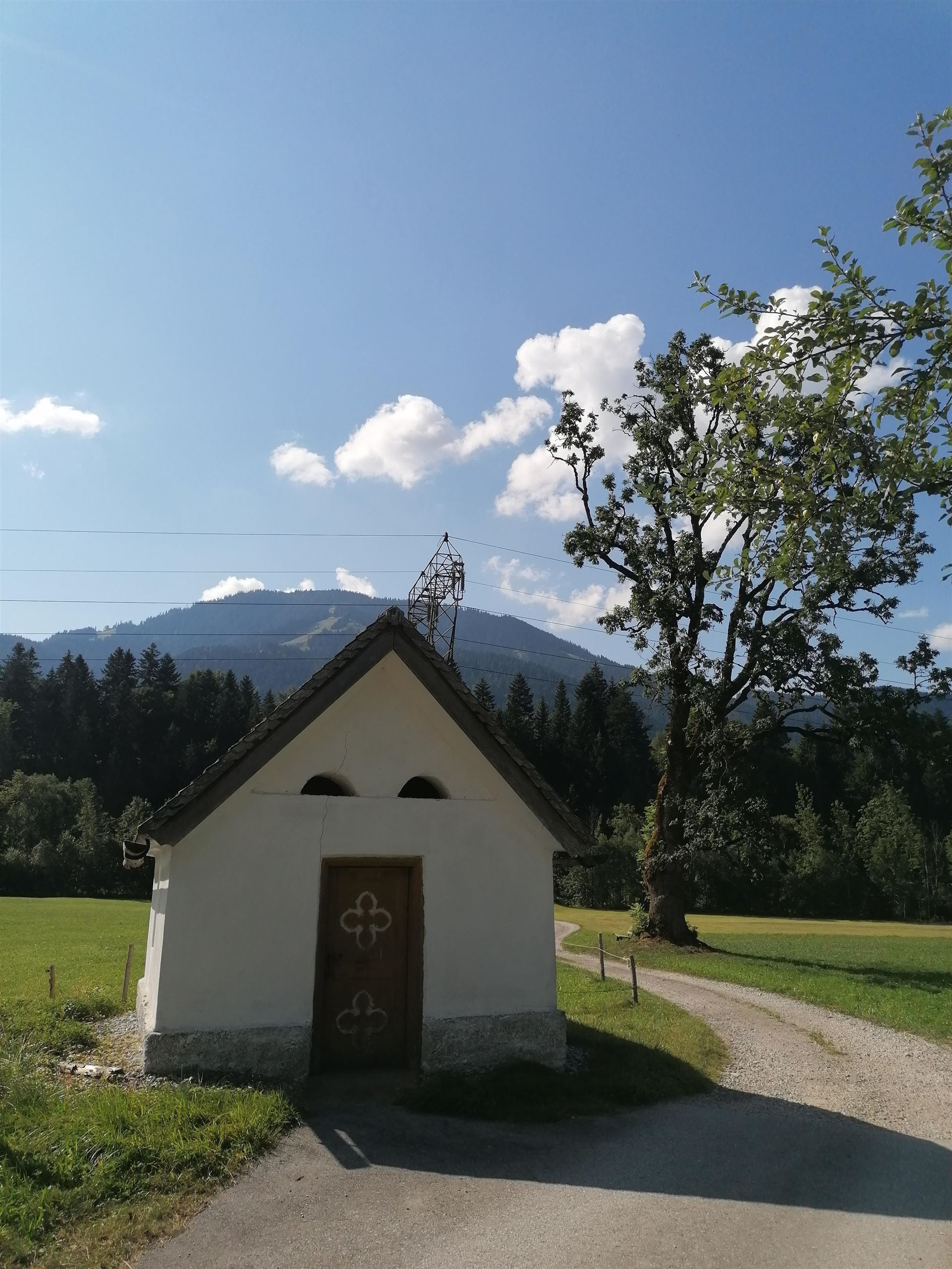
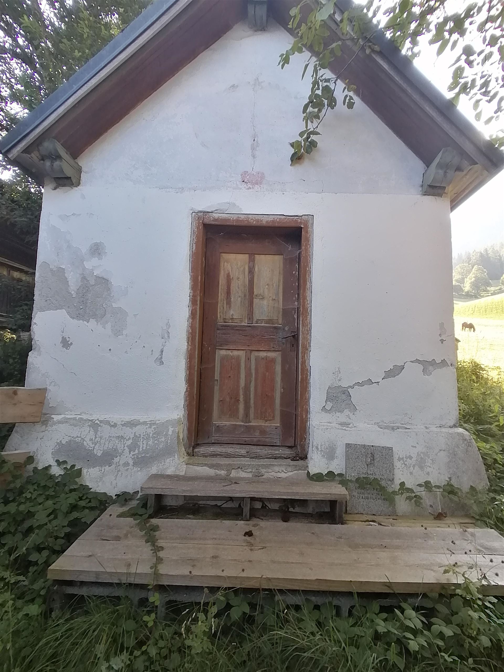
A small farmstead chapel at Söll, part of the dense network of family chapels scattered around the village at 690 m.
Erlachkapelle
4.2 km away, in Söll
A farm chapel at Erlach near Söll, one of the small private chapels that mark the old farmsteads around the village.
Faistenkapelle
4.2 km away, in Söll
A small chapel at the Faisten farms near Söll, part of the village's tradition of farmstead chapels in the Wilder Kaiser foothills.
Grünbichlkapelle
4.2 km away, in Söll
A small chapel at the Grünbichl farm near Söll, typical of the private chapels built beside Tirolean farmhouses.
Gänsleitkapelle
4.2 km away, in Söll
A farmstead chapel at Gänsleit near Söll, one of the many small chapels kept by farming families around the village.
 Cable car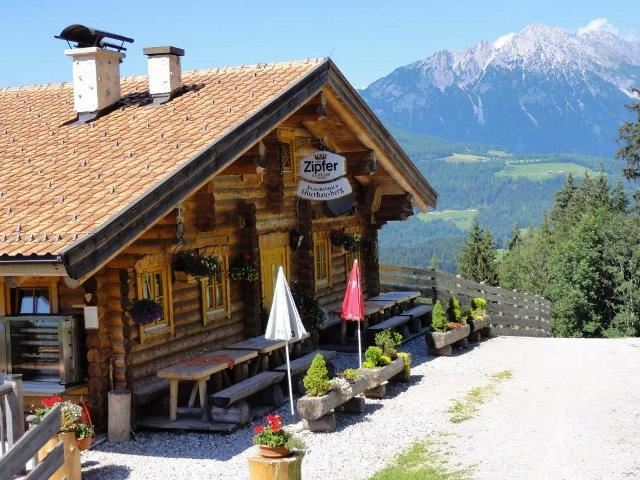
Nothing of this kind in Bad Häring.
Routes
Umgebung: Prof.-Sinwel-Steig
Cabled route named after the local historian Prof. Sinwel and also called the Lengerer Steig, climbing over the Mittagskogel to the Großer Pölven above the Inntal.
- 13.0 km
- Distance
- 1 203 m
- Ascent
- 9 h 31 min
- Duration
- 10
- Check-ins
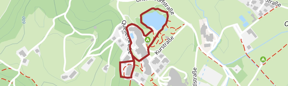
Erlebnis der Sinne
Themed sensory loop around Bad Häring's village edge with stations for touching, listening and balancing, laid out as an easy spa-town walk.
- 3.0 km
- Distance
- 70 m
- Ascent
- 53 min
- Duration
- 1
- Check-ins
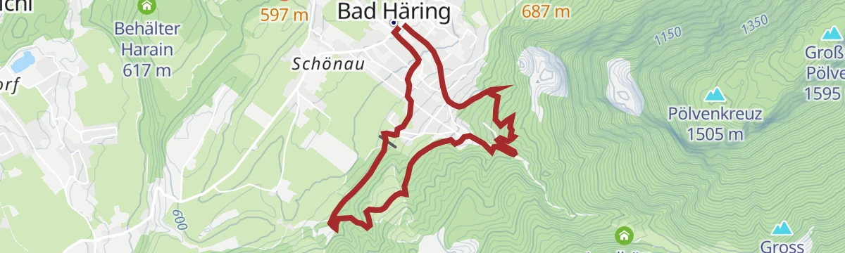
Stallhäusl Runde
Generous round from Bad Häring's centre climbing through forest to a rustic mountain inn, with the Jagdhüttn as a second stop before the long descent.
- 11.8 km
- Distance
- 607 m
- Ascent
- 4 h 24 min
- Duration
- 11
- Check-ins
Kaiserblüte - Etappe Wald
Forest stage of the Kaiserblüte route: a long, shaded day among moss, resin scent and every shade of green, touching the Stallhäusl and the Jagdhüttn.
- 21.6 km
- Distance
- 912 m
- Ascent
- 7 h 19 min
- Duration
- 12
- Check-ins
374 | Bad Häring - Söll
A forest-road crossing between Bad Häring and Söll over the wooded ridge, passing the Jagdhüttn and the Stallhäusl.
- 8.7 km
- Distance
- 497 m
- Ascent
- 1 h 20 min
- Duration
- 11
- Check-ins
MTB-Tour um das Juffinger Jöchl
A day-long loop on forest tracks around the peak west of Söll, with the Stallhäusl and the Jagdhüttn as the stops on the way.
- 24.0 km
- Distance
- 903 m
- Ascent
- 2 h 59 min
- Duration
- 11
- Check-ins
Rennrad 08 Pölvenrunde
A long road circuit from the lower Inn valley over to Hopfgarten in the Brixental, returning by Mariastein and Angerberg.
- 82.2 km
- Distance
- 1 004 m
- Ascent
- 8 h 14 min
- Duration
- 50
- Check-ins
Sagenweg - Bad Häring Runde
Legend-themed loop around Bad Häring where carved figures and story boards recount Unterland sagas along easy village and forest paths.
- 6.3 km
- Distance
- 209 m
- Ascent
- 1 h 60 min
- Duration
- 1
- Check-ins
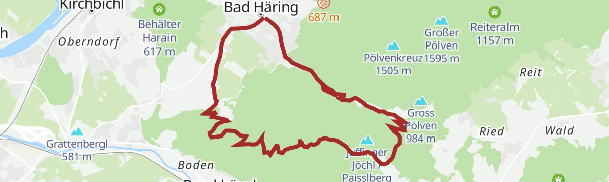
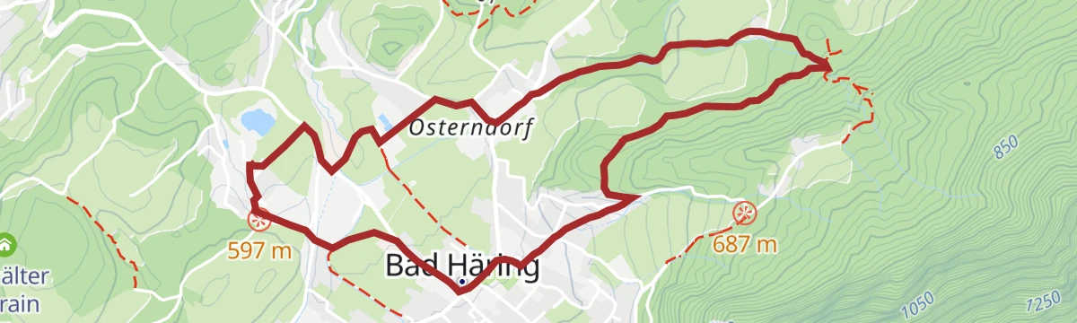
Juffinger Jöchl Rundtour
Circuit from Bad Häring over the wooded Paisslberg saddle, with the Jagdhüttn en route and Inntal views opening between the trees.
- 10.9 km
- Distance
- 615 m
- Ascent
- 4 h 20 min
- Duration
- 10
- Check-ins
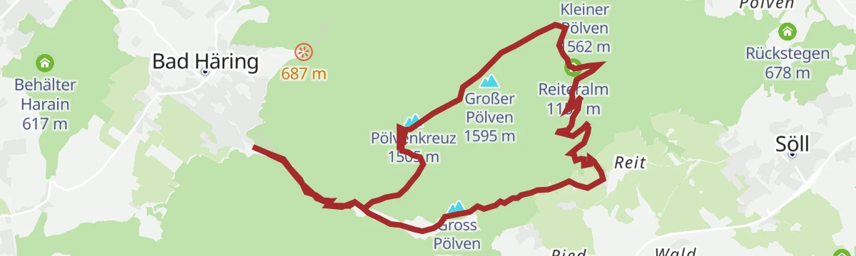
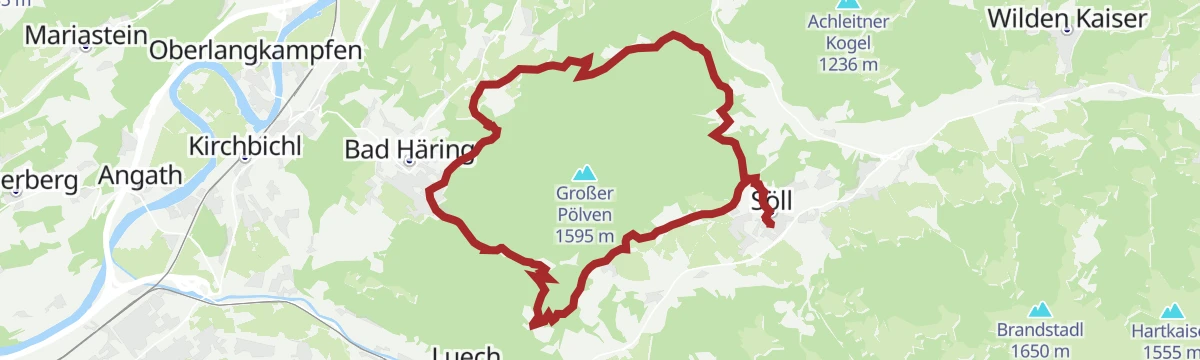
Pölvenrunde
Full circuit of the Pölven, the locals' viewpoint mountain, on forest roads and paths around the Gross Pölven with the Jagdhüttn as a mid-way stop.
- 17.7 km
- Distance
- 705 m
- Ascent
- 5 h 54 min
- Duration
- 4
- Check-ins
366 | Juffinger Jöchl Runde
A compact climb-and-descent loop above Bad Häring, gaining close to 600 m on forest roads past the Jagdhüttn at 886 m.
- 11.1 km
- Distance
- 572 m
- Ascent
- 1 h 34 min
- Duration
- 2
- Check-ins
Pölvenradrunde
A mountain-bike circuit around the hill between Bad Häring and Schwoich, dropping to Bruckhäusl near Wörgl past the Gasthof Oberstegen.
- 29.6 km
- Distance
- 422 m
- Ascent
- 3 h 2 min
- Duration
- 7
- Check-ins
01A - Seenrundfahrt - Variante Brandenberg
A long road loop through the lower Inn valley and up the side valley to Brandenberg, taking in the small lakes around Kramsach.
- 90.9 km
- Distance
- 1 593 m
- Ascent
- 9 h 34 min
- Duration
- 39
- Check-ins
Themenweg Bergbau & Kohle
Mining-history loop above Bad Häring tracing the village's coal era with pit relics and info boards, starting near the church and the school car park.
- 5.2 km
- Distance
- 217 m
- Ascent
- 1 h 45 min
- Duration
- 1
- Check-ins
Großer Panoramaweg
Longer panorama circuit above Kirchbichl, rolling along the terrace edge with the Inn valley below and the Kaiser mountains across the way.
- 8.9 km
- Distance
- 157 m
- Ascent
- 2 h 28 min
- Duration
- 2
- Check-ins
Rennrad 07 Kufstein Festungsrunde
A long road loop down the Inn valley to the fortress town of Kufstein and back, starting from the lakes near Kramsach.
- 75.9 km
- Distance
- 650 m
- Ascent
- 7 h 21 min
- Duration
- 38
- Check-ins
Wasserfall Runde
Easy round from Bad Häring to a small waterfall in the forested gorge above the village, with comfortable paths making it a family standard.
- 5.2 km
- Distance
- 111 m
- Ascent
- 1 h 29 min
- Duration
- 1
- Check-ins
06B - Hochtal-Tour Horler Stiegl
A big day between the Inn valley at Kufstein and the Wildschönau, climbing to around 880 m at Niederau before the return along the river.
- 73.6 km
- Distance
- 1 617 m
- Ascent
- 8 h 3 min
- Duration
- 20
- Check-ins
Häringer Bergmandl Weg
Miniature themed walk in Bad Häring where a mining-gnome figure guides children between play and info stations — flat, short and pram-friendly.
- 1.2 km
- Distance
- 24 m
- Ascent
- 20 min
- Duration
Stallhäuslrunde
A hill circuit above the Inn and Brixental valleys, climbing from Bruckhäusl to the Stallhäusl at 972 m and back down by Hopfgarten.
- 28.6 km
- Distance
- 765 m
- Ascent
- 3 h 16 min
- Duration
- 12
- Check-ins
 Stallhäusl 972 m
- Tourismusbüro 592 m
- Jagdhüttn 886 m
 Fischteich 586 m
Inntalblick Runde
Loop along Bad Häring's panorama terrace, following the line of the winter cross-country track in summer with steady views over the Inn valley.
- 6.4 km
- Distance
- 183 m
- Ascent
- 1 h 57 min
- Duration
Rundtour Großer Pölven - Rennradtour
A road-bike round of the Pölven, climbing past the Moorsee at 671 m and returning through Bruckhäusl to the Inn valley.
- 35.4 km
- Distance
- 651 m
- Ascent
- 3 h 45 min
- Duration
- 9
- Check-ins
Rück Dich Gesund Pfad
Back-health exercise path in the spa village of Bad Häring: a few hundred metres of stations with guided stretching and strengthening moves.
- 1.8 km
- Distance
- 50 m
- Ascent
- 33 min
- Duration
Kaiserweis‘ Genussradroute Genuss & Handwerk
A 36 km loop between Kufstein and the villages below the Kaisergebirge, calling at Schwoich and the tourist office at Bad Häring.
- 34.5 km
- Distance
- 381 m
- Ascent
- 3 h 25 min
- Duration
- 8
- Check-ins
Pölvenradrunde
A road circuit around the Pölven from Schwoich, over to Bad Häring and back by Bruckhäusl near Wörgl.
- 29.6 km
- Distance
- 585 m
- Ascent
- 3 h 11 min
- Duration
- 7
- Check-ins













No routes of this kind in Bad Häring yet.
The region's own picks
Featured route
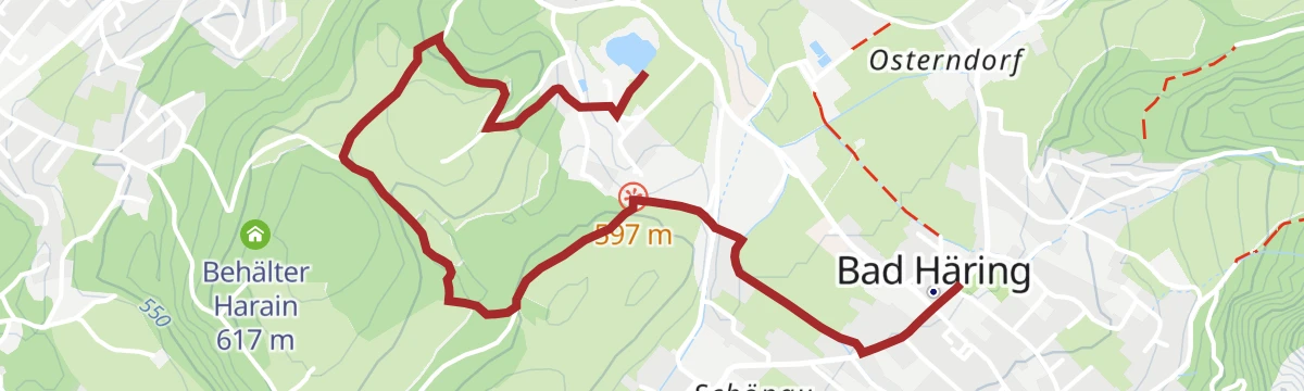
Erlebnis der Sinne
Themed sensory loop around Bad Häring's village edge with stations for touching, listening and balancing, laid out as an easy spa-town walk.
Planning a trip to Bad Häring?
Everything else Tyrol has, in one place


Take Bad Häring with you into the mountains
Every route on this page with 3D terrain, GPX navigation and offline maps — including the valleys with no signal.
Data sources
- Official website: kufstein.com ↗
- Routes and highlights: Kufsteinerland, Wilder Kaiser Tourismus, Kitzbüheler Alpen Tourismus, Alpbachtal Tourismus, Kaiserwinkl Tourismus
- Published as open data by the tourist boards named above.
- Region summary generated from the board's own material.
