
 Cable car
 Historic site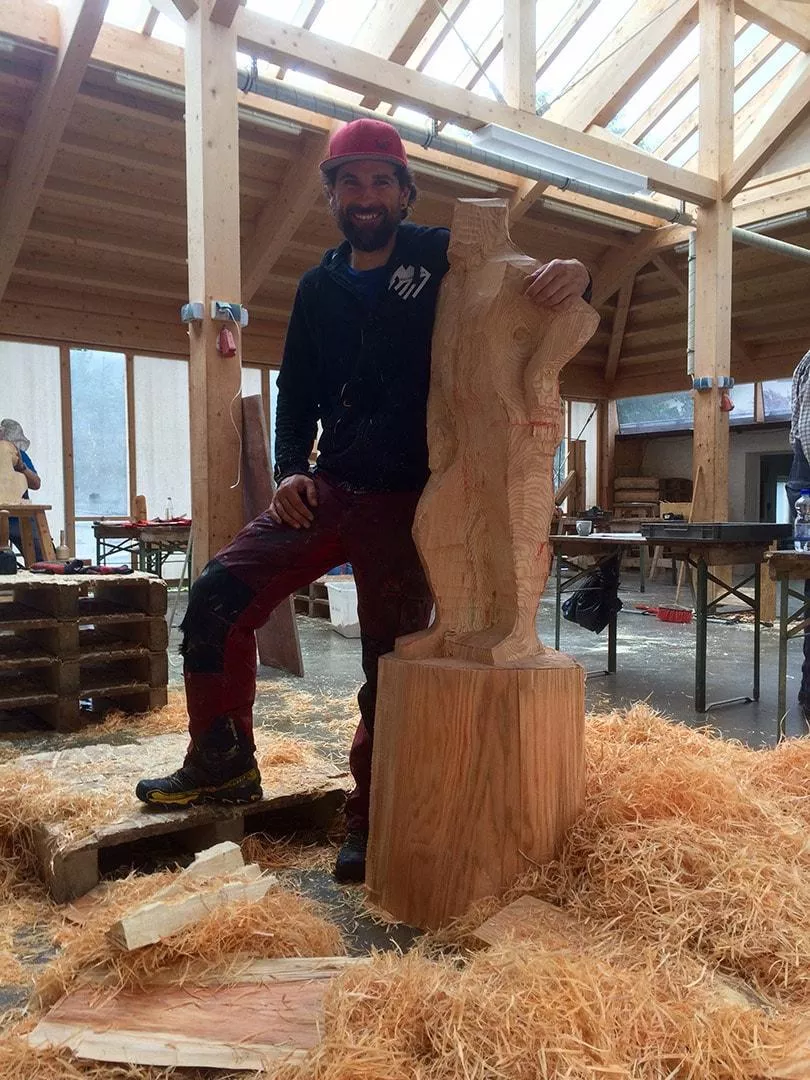





















Curated by Lechtal Tourismus
Bach
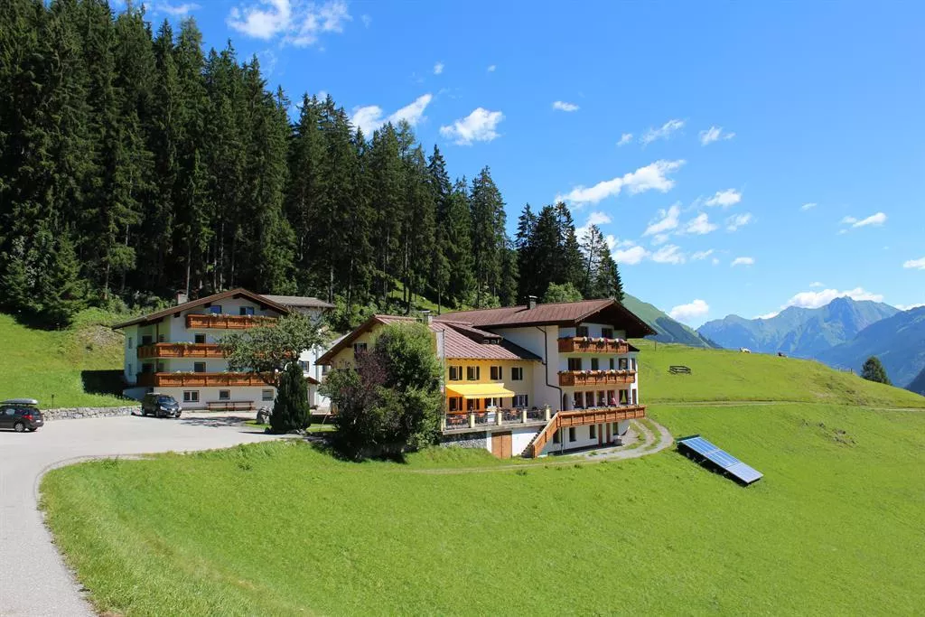
A Lechtal village at about 1070 m where side valleys fan toward the Lechtaler Alps, its Jöchelspitze lifts carrying walkers to an alpine disc-golf course and flower trails.
- 13Highlights
- 64Routes
- Featured summit · Krottenkopf
Highlights
2 from neighbouring places
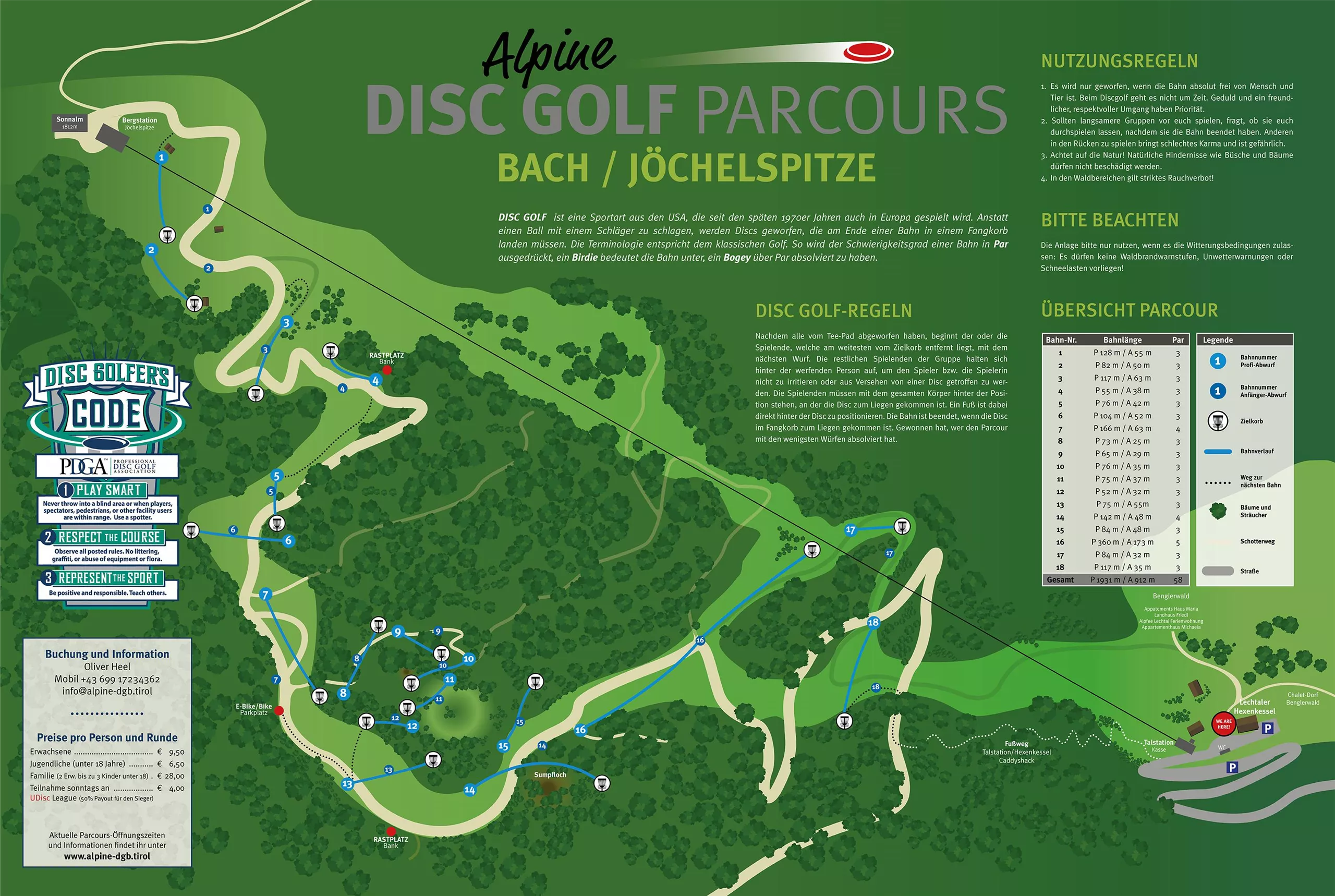
Alpine Disc Golf Parcours Bach / Jöchelspitze
An alpine disc golf course on the Jöchelspitze above Bach, played across mountain meadows reached with the Lechtal lifts.
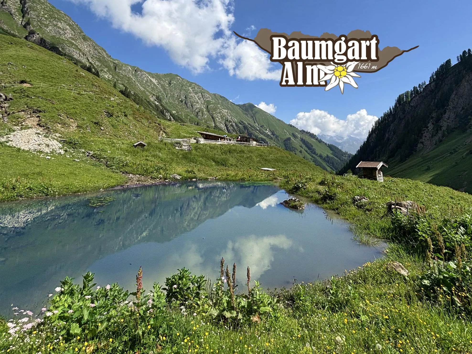
Baumgartalm 1.661 m
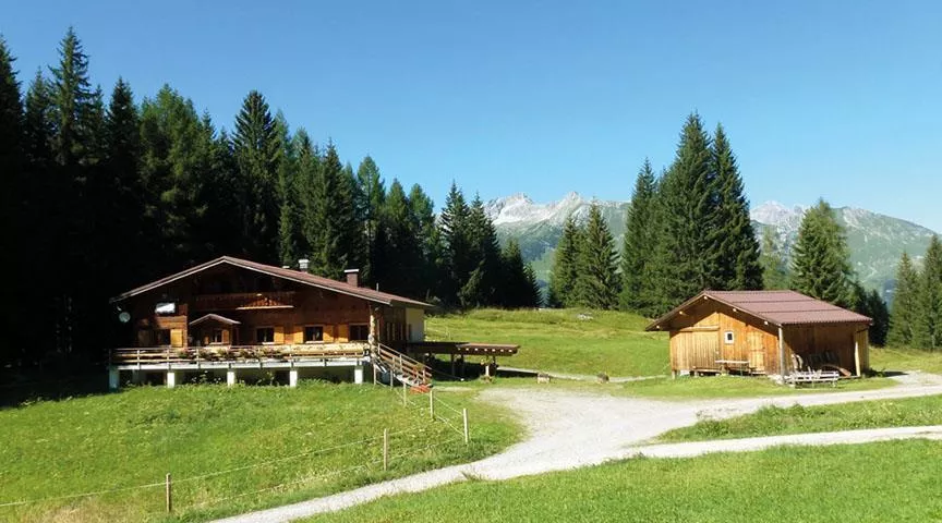
An alpine pasture hut at 1,661 m above Bach, serving regional food on the walking routes into the Lechtal Alps south of the valley.
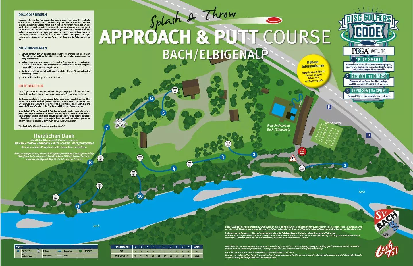
Disc Golf Übungsparcour Bach/Elbigenalp
A practice disc golf course between Bach and Elbigenalp, an easy valley-floor introduction before the alpine course on the Jöchelspitze.
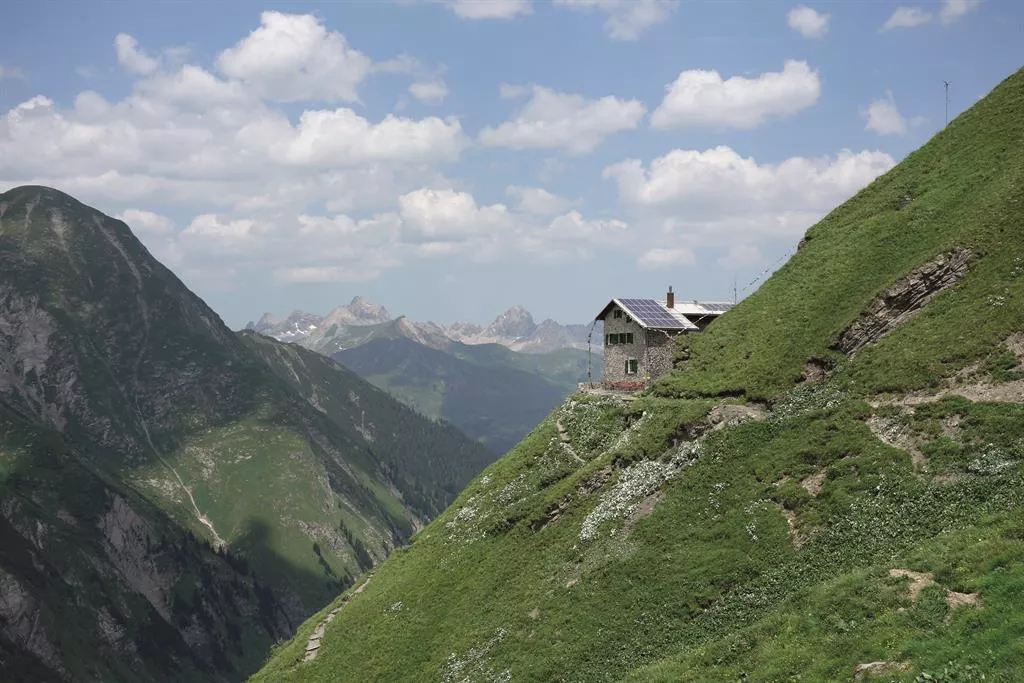
Frederick-Simmshütte 2.004 m
A refuge at 2,004 m in the Lechtal Alps above Bach, reached through the Madau area, serving regional food on high-route stages.
Jausenstation Wase 1.320 m
A snack station at 1,320 m above Bach, an easy walking destination on the valley flank with regional dishes and views over the Lechtal.
Lechtaler Hexenkessel 1.200 m
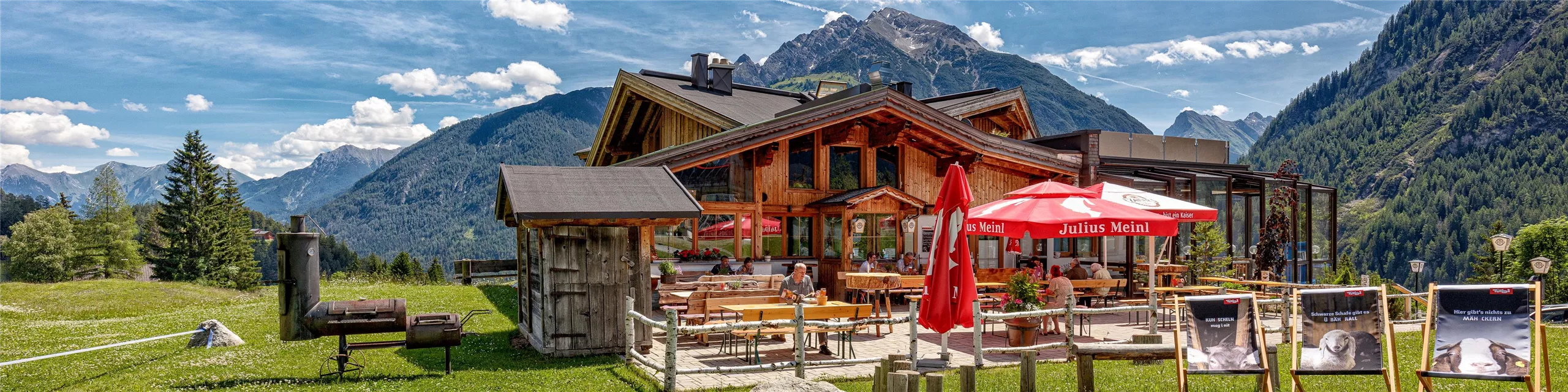
A hut and restaurant at 1,200 m in the Jöchelspitze area above Bach, serving regional, vegetarian and grilled dishes in summer and winter.
Sonnalm Jöchelspitze 1.800 m
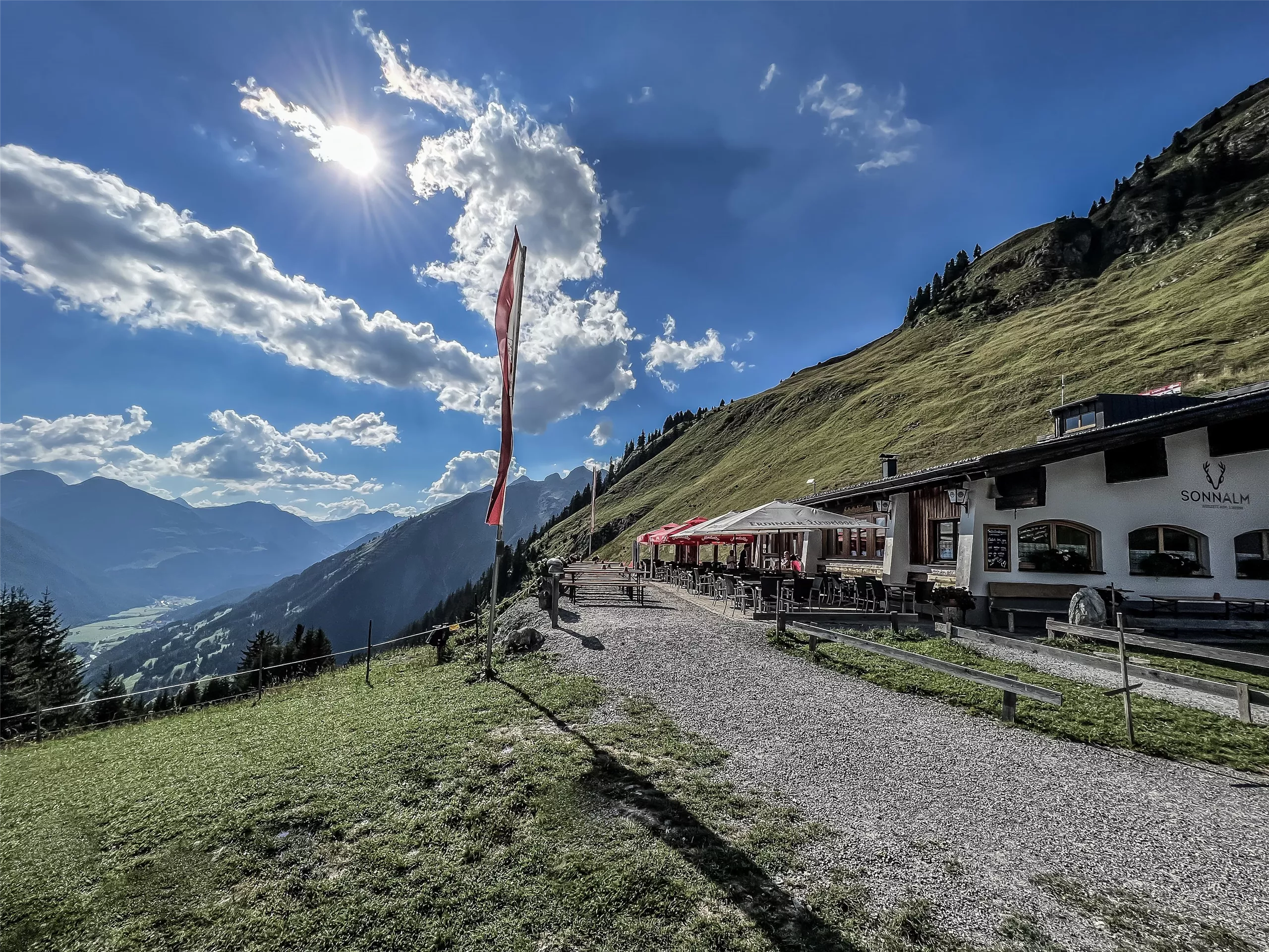
A mountain restaurant at 1,800 m at the top of the Jöchelspitze lifts above Bach, serving walkers in summer and skiers in winter.
Sulzlalm 1.466 m
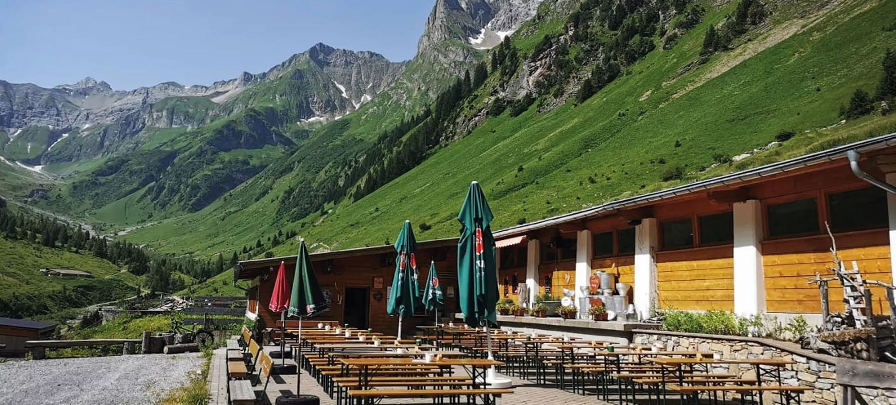
An alpine pasture at 1,466 m above Bach, serving home-style regional dishes to walkers below the rock walls of the Lechtal Alps.
Lechtaler Bergbahnen - Jöchelspitze
The Lechtal lifts at Bach, carrying walkers up the Jöchelspitze to ridge and meadow paths high above the valley.
Timeout Tours
A guided walking provider based at Bach in the Lechtal, offering family-friendly tours and day hikes in the surrounding mountains.
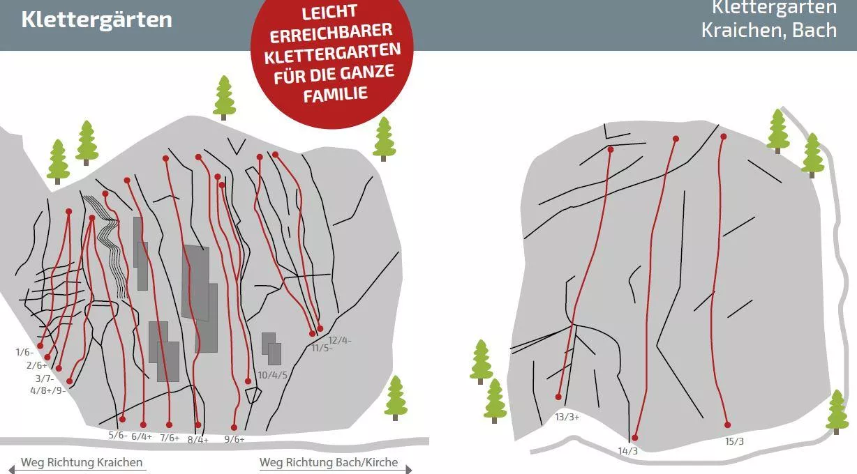
Klettergarten Kraichen
A climbing garden at Kraichen near Häselgehr, with bolted sport routes on the valley crags of the central Lechtal.
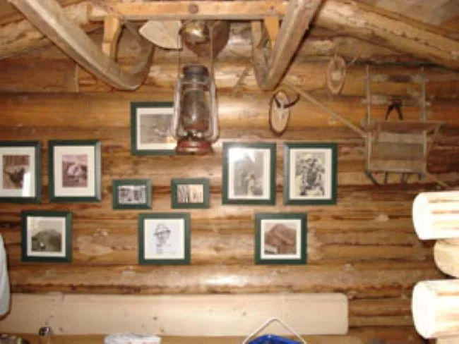
Lechtaler Bergheumuseum
A small museum near Elbigenalp devoted to mountain haymaking, showing the tools and techniques once used on the steep meadows of the Lechtal.
Martin Schlamp
The workshop of craftsman Martin Schlamp in Bach, where visitors can view exhibitions of his handwork in the Lechtal's carving tradition.
Berggasthof Klapf
3.3 km away, in Elbigenalp
A mountain inn above Bach in the Lechtal serving Austrian cooking and its own farm produce, a stop for walkers on the sunny side of the valley.
Physiotherapeutin (Sport) | Bergwanderführerin Lisa-Maria Kärle
3.4 km away, in Elbigenalp
Lisa-Maria Kärle, a sports physiotherapist and certified mountain-walking guide based at Elbigenalp, leading tours in the Lechtal.
Nothing of this kind in Bach.
Routes
50 routes, an even mix of activities · see the rest on lechtal.at ↗
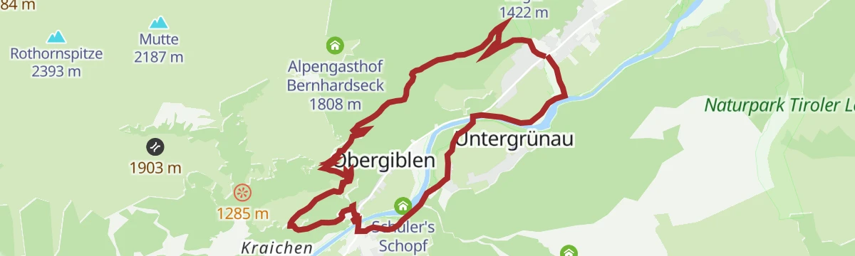
Alpenrosensteig
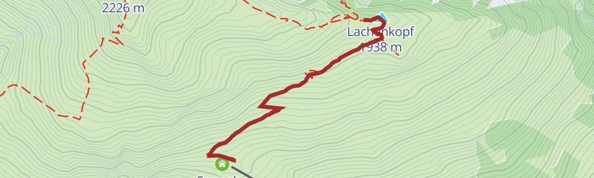
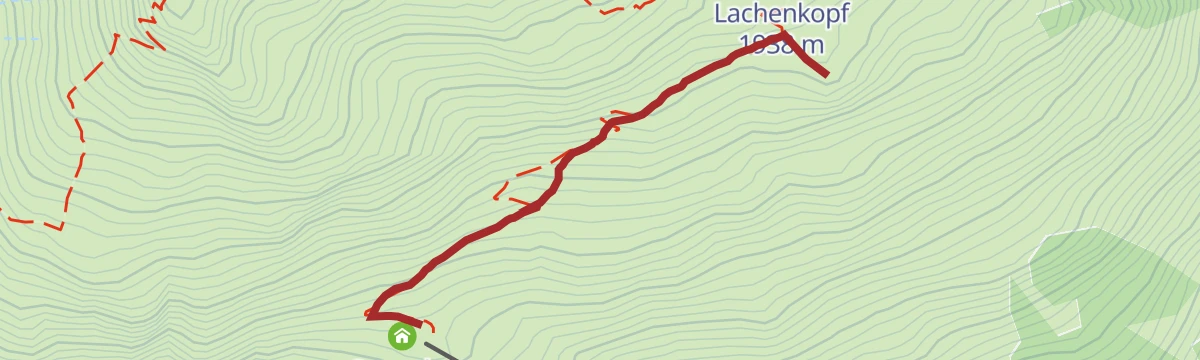
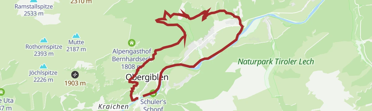
Easy family route to the Alpengasthof Bernhardseck, taking in the Sonnalm and the rounded top of the Lachenkopf.
- 4.9 km
- Distance
- 218 m
- Ascent
- 1 h 39 min
- Duration
- 37
- Check-ins
Bergstation Jöchspitzbahn - Rossgumpenalm - Holzgau
Descending line from the Jöchlspitze lift to Holzgau, crossing the Rothornjoch and dropping past both Roßgumpen alms and Cafe Uta.
- 12.5 km
- Distance
- 544 m
- Ascent
- 5 h 25 min
- Duration
- 60
- Check-ins
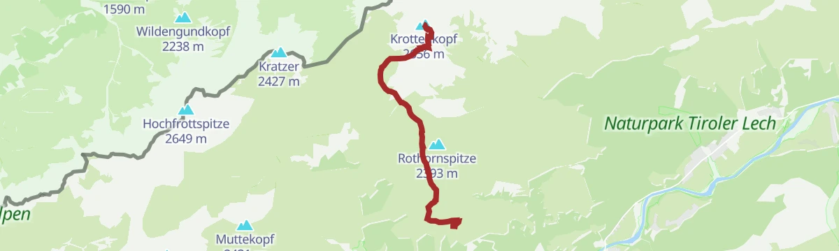
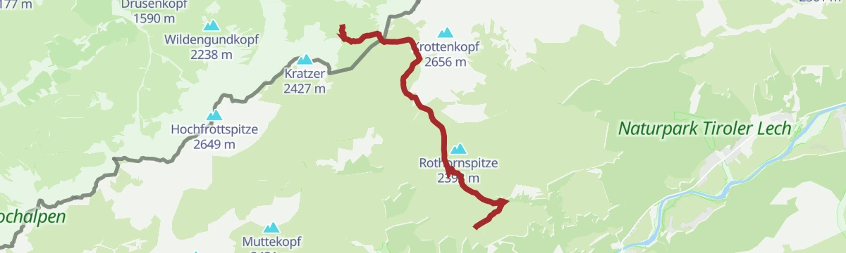
Bergstation Jöchelspitzbahn - Krottenkopf
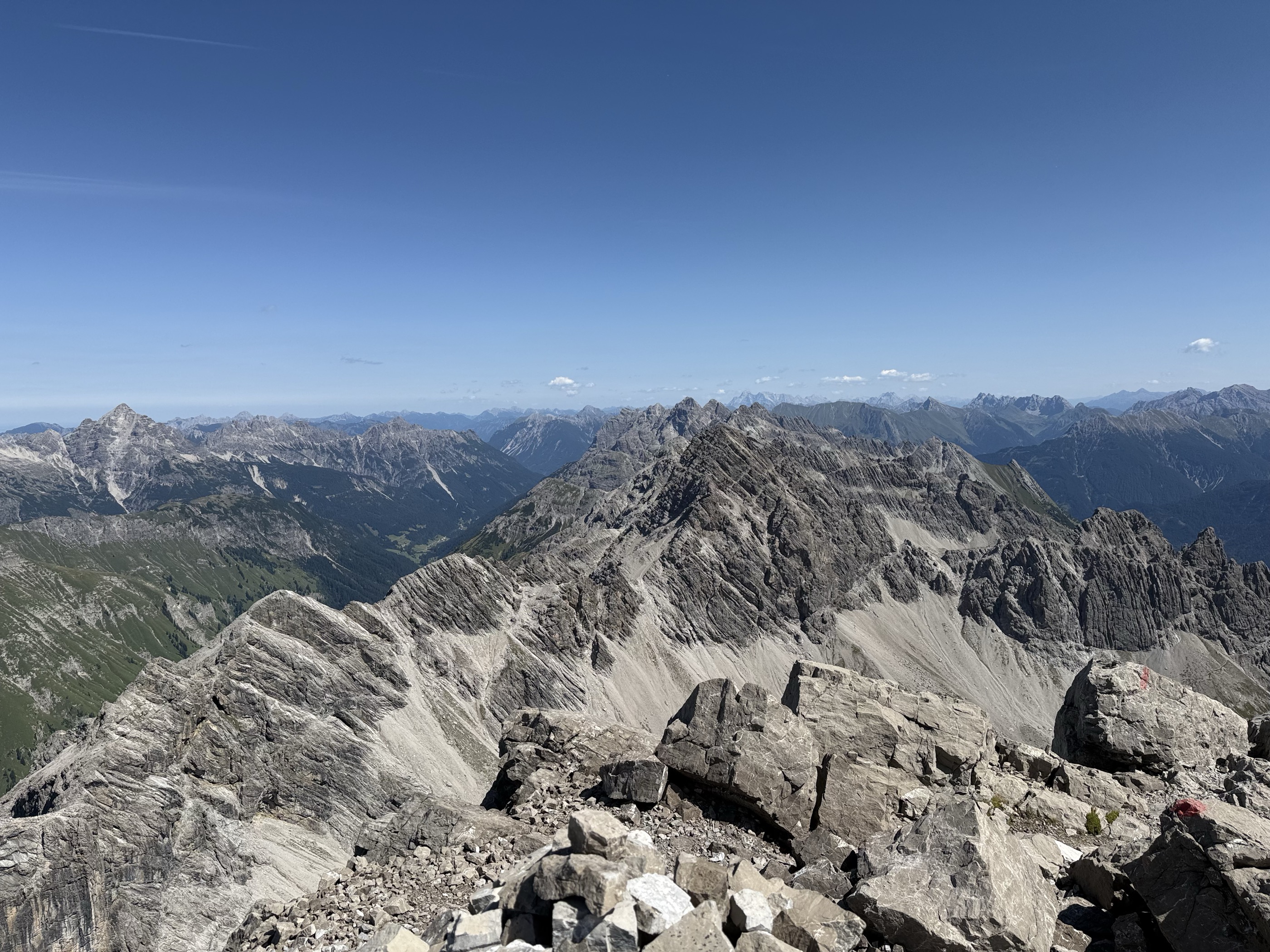
A climb of 1,129 m from the lift's top station over the Rothornjoch and the Krottenkopfscharte to the highest summit of the Allgäuer Alpen.
- 6.6 km
- Distance
- 1 129 m
- Ascent
- 4 h 45 min
- Duration
- 53
- Check-ins
Skitour auf die Jöchelspitze
Half-day ski tour shortened by the lift, on sunny south-east slopes; the steep step low down is skirted to the north-west, and settled snow is still needed.
- 5.6 km
- Distance
- 1 007 m
- Ascent
- 0 m
- Descent
- 2 h 50 min
- Duration
- 42
- Check-ins
Skitour auf das Bernhardseck – Auf der Mutte
One of the gentler Lechtal ski tours, following a long broad back up to the Mutte; a road section low down makes it feasible when conditions are uncertain, and the Bernhardseck hut serves in winter.
- 7.5 km
- Distance
- 1 108 m
- Ascent
- 14 m
- Descent
- 3 h 18 min
- Duration
- 24
- Check-ins
Zur Jausenstation Wase
A very short but steep climb from the Lechtal floor at Bach to a snack stop at 1,311 m, 250 m of ascent in under 3 km.
- 2.8 km
- Distance
- 251 m
- Ascent
- 25 min
- Duration
- 3
- Check-ins
Sonnalm - Runde
A forest-road circuit above the Lechtal from Bach, climbing to an alm at 1,800 m near the Jöchelspitzbahn top station and back.
- 14.6 km
- Distance
- 684 m
- Ascent
- 1 h 56 min
- Duration
- 22
- Check-ins
Lechradweg von Steeg bis Reutte
A long, nearly level run down the Lech valley to Reutte, following the river past the campsite at Vorderhornbach and the Baggersee.
- 53.2 km
- Distance
- 32 m
- Ascent
- 4 h 50 min
- Duration
- 29
- Check-ins
Steeg-Kaisers
A very long day on the road from the Lechtal into the Tannheimer Tal, over the Vils/Lech watershed and past the Haldensee.
- 118.1 km
- Distance
- 1 951 m
- Ascent
- 12 h 19 min
- Duration
- 76
- Check-ins
Bergstation Jöchelspitzbahn - Bergheu-Museum
Barely more than a kilometre from the top station down to the hay museum, which shows how Lechtal mountain-farming families once lived.
- 1.3 km
- Distance
- 179 m
- Ascent
- 43 min
- Duration
- 25
- Check-ins
Bergstation Jöchlspitzbahn zur Kemptner Hütte
Mountain route from the lift's top station across the Rothornjoch and the Oberes Mädelejoch to the Kemptner Hütte.
- 8.0 km
- Distance
- 678 m
- Ascent
- 4 h 8 min
- Duration
- 54
- Check-ins
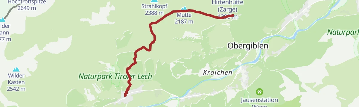
Holzgau - Jöchelspitze
Full-length ascent of the Jöchlspitze from the valley, taking in the Lachenkopf and a stop at the Sonnalm — flower-rich slopes high above the Lechtal.
- 11.4 km
- Distance
- 1 129 m
- Ascent
- 6 h 58 min
- Duration
- 39
- Check-ins
Sonnalm Jöchelspitze
A steep track climb out of Bach in the Lechtal, gaining 680 m in just over 6 km to the alm below the lift's top station.
- 6.3 km
- Distance
- 680 m
- Ascent
- 1 h 5 min
- Duration
- 21
- Check-ins
Gravelbike Tour 2.3 - Wally Tour
A long forest-road tour along the Lechtal above Elbigenalp, reaching the Berggasthaus Hermine and the foot of the Jöchelspitzbahn.
- 28.3 km
- Distance
- 541 m
- Ascent
- 3 h 1 min
- Duration
- 6
- Check-ins
Gravelbike Tour 2.3 - Wally Tour
A gravel ride in the Lechtal above Bach, climbing to the Berggasthaus Hermine and the Jöchelspitzbahn base station.
- 28.3 km
- Distance
- 911 m
- Ascent
- 3 h 22 min
- Duration
- 6
- Check-ins
Bergstation Jöchelspitzbahn - Lachenkopf
A one-kilometre step up from the top station to the Lachenkopf, which looks out over both the Lechtaler and the Allgäuer Alpen.
- 1.1 km
- Distance
- 146 m
- Ascent
- 35 min
- Duration
- 25
- Check-ins
Kemptner Hütte - Mädelejoch - Gumpensattel - Panoramaweg - Bernhardseckhütte
A crossing high above the Lechtal from one refuge to the next, over the Oberes Mädelejoch and the Gumpensattel with the Mutte on the way.
- 8.5 km
- Distance
- 828 m
- Ascent
- 5 h 15 min
- Duration
- 44
- Check-ins
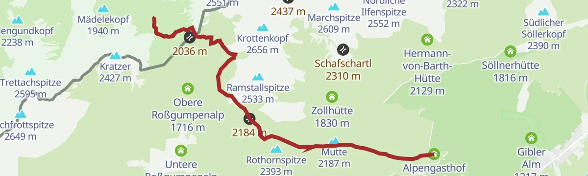
Bernhardseck Hütte - Hermann v. Barth Hütte
Scenic hut traverse from the Alpengasthof Bernhardseck over the Mutte, the Rothornjoch and the Krottenkopfscharte to the Hermann-von-Barth-Hütte.
- 12.3 km
- Distance
- 919 m
- Ascent
- 5 h 25 min
- Duration
- 33
- Check-ins
Hof-Runde
A forest-road round above the Lech valley to the Hofalm, taking in the Berggasthof Klapf and a game-feeding station en route.
- 11.2 km
- Distance
- 370 m
- Ascent
- 1 h 21 min
- Duration
- 8
- Check-ins
Botanischer Lehrpfad Jöchelspitze
Short signed botany path by the Sonnalm at the top of the Jöchelspitzbahn, laid out with the Lechtaler Alpen in view.
- 1.4 km
- Distance
- 174 m
- Ascent
- 43 min
- Duration
- 25
- Check-ins
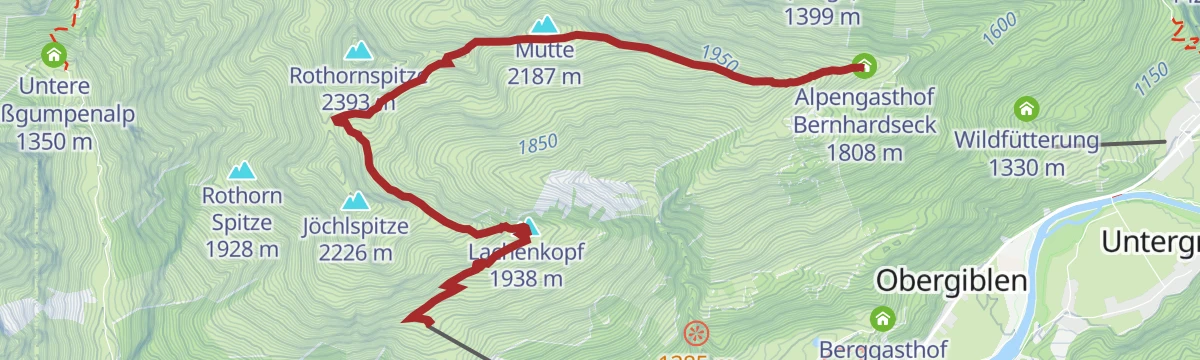
Lechtaler Panoramaweg
High traverse from the Sonnalm over the Lachenkopf and the Mutte to the Rothornjoch, with the Alpengasthof Bernhardseck for a stop.
- 6.6 km
- Distance
- 470 m
- Ascent
- 3 h 1 min
- Duration
- 43
- Check-ins
Holzgau-Windegg-Jöchelspitze-über Panoramaweg zur Bernhardseck Hütte
High traverse over the Jöchlspitze and Mutte, then along the ridge path to the Alpengasthof Bernhardseck and the Rothornjoch — a long day with big views.
- 7.9 km
- Distance
- 1 212 m
- Ascent
- 5 h 38 min
- Duration
- 31
- Check-ins
Madautal
A gentle forest-road ride from Bach into the side valley south of the Lechtal, gaining under 300 m in just over 7 km.
- 7.3 km
- Distance
- 272 m
- Ascent
- 49 min
- Duration
- 2
- Check-ins
Bergstation Jöchelspitzbahn - Über´n Lisaweg
Nearly flat path from the top station down to the Winklerhof in Bach, with only 20 m of climbing; a hiking bus serves the valley station.
- 6.9 km
- Distance
- 20 m
- Ascent
- 2 h 16 min
- Duration
- 24
- Check-ins
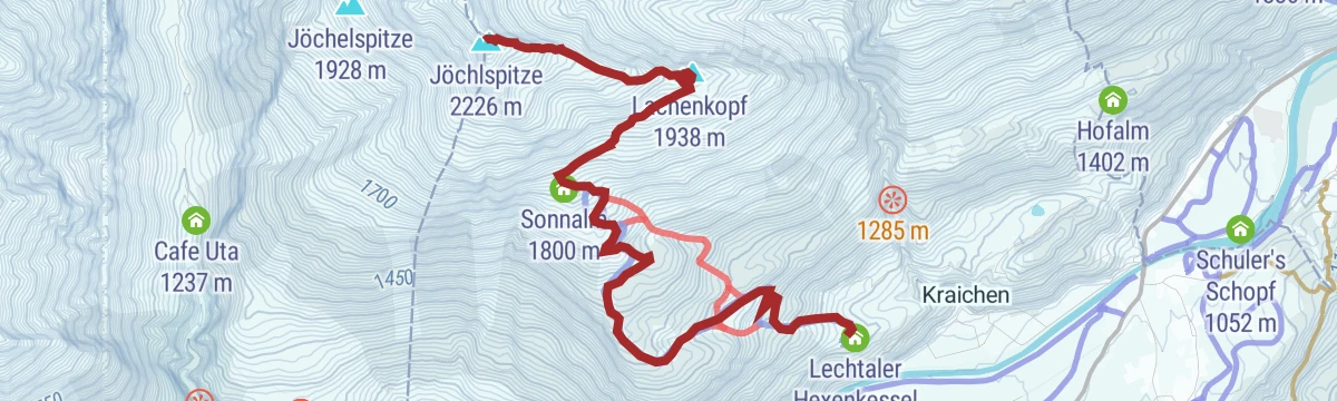
Rundweg Jöchelspitze
Short circuit from the top station over the Lachenkopf to the Jöchlspitze, packing 425 m of climbing into under 4 km.
- 3.8 km
- Distance
- 425 m
- Ascent
- 2 h 36 min
- Duration
- 38
- Check-ins
Bach/Stockach - Lechtaler Wetterspitze
Big mountain day from Stockach past the Sulzlalm and Frederic-Simms-Hütte to the Holzgauer Wetterspitze, at 2,895 m one of the highest peaks of the Lechtaler Alpen.
- 10.4 km
- Distance
- 1 871 m
- Ascent
- 7 h 9 min
- Duration
- 24
- Check-ins
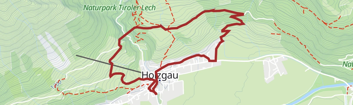
Gschwoad
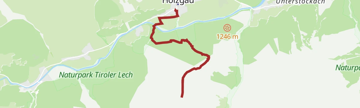
A forest-road climb from Holzgau in the Lechtal, gaining some 450 m in under 5 km on the slopes above the valley floor.
- 4.5 km
- Distance
- 448 m
- Ascent
- 44 min
- Duration
- 1
- Check-ins
Sonnalm zur Talstation
Downhill-only return from the Sonnalm to the valley station of the lift, going by the Lechtaler Hexenkessel.
- 3.5 km
- Distance
- 0 m
- Ascent
- 1 h 28 min
- Duration
- 22
- Check-ins
Bach - Sonnalm mit der Jöchelspitzbahn
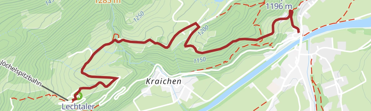
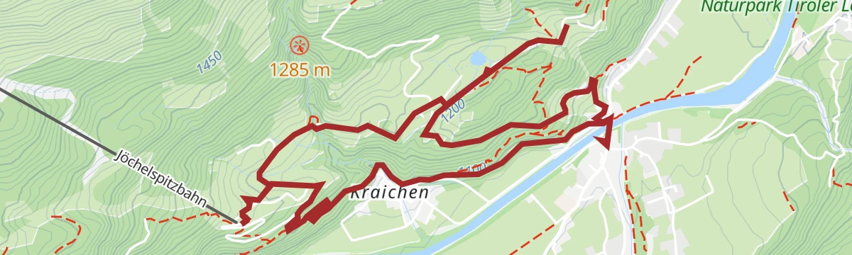
Steep walking line from Bach up to the Sonnalm, gaining 550 m in 3.4 km and passing the Lechtaler Hexenkessel.
- 3.3 km
- Distance
- 550 m
- Ascent
- 2 h 6 min
- Duration
- 22
- Check-ins
Lechweg - Gemütliche Variante - Etappe 4 - Steeg bis Bach
Long valley stage of the Lechweg's gentler variant, tracing the river from Steeg through Holzgau to Bach and passing the Holzgau hydropower weir and the Lechtaler Hexenkessel.
- 15.4 km
- Distance
- 459 m
- Ascent
- 4 h 47 min
- Duration
- 24
- Check-ins
 Cafe Uta 1 237 m
- Lechtal Tourismus 1 099 m
- Lechtaler Hexenkessel 1 210 m
- Tourismusinformation 1 114 m
 Wehr Wasserkraftkwer Holzgau 1 159 m
Rundweg Holzgau-Schönau
Level family loop from Holzgau out to the hamlet of Schönau, passing the Dorf-Alm and the Schönauer Hof.
- 4.5 km
- Distance
- 17 m
- Ascent
- 1 h 6 min
- Duration
- 15
- Check-ins
Talstation Jöchelspitzbahn zur Sonnalm
Stiff direct climb from the Jöchelspitzbahn valley station to the Sonnalm, passing the Lechtaler Hexenkessel on the sunny slopes above Bach.
- 3.6 km
- Distance
- 548 m
- Ascent
- 2 h 8 min
- Duration
- 22
- Check-ins
Lechwegschleife "Bergwald und Schnitzerdorf"
Long Lechweg side loop above Bach and Elbigenalp, threading mountain forest between the Gibler Alm, the Kasermandl hut and the Berggasthof Klapf.
- 16.3 km
- Distance
- 654 m
- Ascent
- 5 h 26 min
- Duration
- 19
- Check-ins
Holzgau - Hängebrückenrunde
Village loop that crosses the Holzgau suspension bridge, one of Austria's longest pedestrian spans, hanging high above the Höhenbach gorge — brief thrills on an otherwise easy round.
- 4.9 km
- Distance
- 152 m
- Ascent
- 1 h 32 min
- Duration
- 13
- Check-ins
Lechweg - Klassische Variante - Etappe 4 - Holzgau bis Elbigenalp
Stage 4 of the classic Lechweg, following the young Lech downstream from Holzgau to Elbigenalp past the Lechtaler Hexenkessel along the way.
- 13.2 km
- Distance
- 436 m
- Ascent
- 4 h 13 min
- Duration
- 21
- Check-ins
- Cafe Uta 1 237 m
- Lechtal Tourismus 1 099 m
- Lechtaler Hexenkessel 1 210 m
- Wehr Wasserkraftkwer Holzgau 1 159 m
- Schuler's Schopf 1 052 m
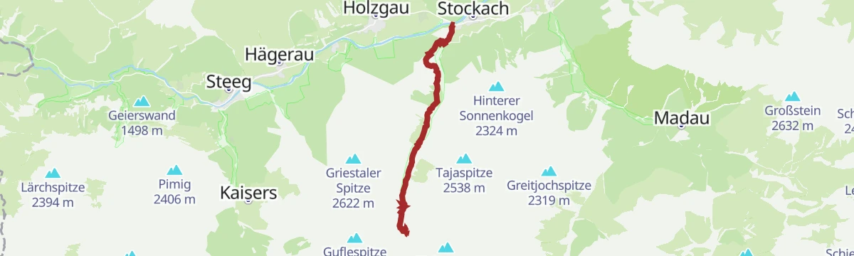
Stockach - Simmshütte
Steep hut approach from Stockach past the Sulzlalm to the Frederic-Simms-Hütte, with a stretch of rock tunnels cut into the cliffs along the way.
- 7.5 km
- Distance
- 957 m
- Ascent
- 3 h 56 min
- Duration
- 19
- Check-ins
Holzgauer Hängebrückenrunde
An easy round from the village centre that crosses the roughly 200-m-long suspension bridge high above the Höhenbach, returning past the Restaurant Winklerhof.
- 5.0 km
- Distance
- 156 m
- Ascent
- 1 h 33 min
- Duration
- 13
- Check-ins
Frederic-Simms-Hütte - Ansbacher Hütte
Hut-to-hut stage crossing the Kälberlahnzugjoch, Stierlahnzugjoch and Flarschjoch, with an optional hour-long detour to the Feuerspitze before the Ansbacher Hütte.
- 7.8 km
- Distance
- 844 m
- Ascent
- 4 h 25 min
- Duration
- 20
- Check-ins
Holzgau - Peischelspitze
Relentlessly steep route to the Peischelspitze, packing nearly 1,200 m of ascent into five kilometres — a conditioning test with a broad view over the Lechtaler Alps.
- 5.3 km
- Distance
- 1 189 m
- Ascent
- 4 h 20 min
- Duration
- 12
- Check-ins
Holzgauer Entdeckungstour: Schiggen & Gföll Runde
Easy loop on quiet field paths around the outskirts of Holzgau, linking the Dorf-Alm with the Restaurant Winklerhof.
- 4.8 km
- Distance
- 149 m
- Ascent
- 1 h 29 min
- Duration
- 13
- Check-ins
Holzgau - Über´s Windegg zur Sonnalm
A short, steep haul gaining over 800 m to a sunny alm terrace above the Lechtal, approached across the Windegg shoulder.
- 3.8 km
- Distance
- 814 m
- Ascent
- 3 h 16 min
- Duration
- 18
- Check-ins
Bach - Memminger Hütte
Long approach from Bach up the Madautal to the Memminger Hütte, the Alpine Club hut at 2,242 m below the Seekogel on the E5 long-distance route.
- 13.6 km
- Distance
- 1 229 m
- Ascent
- 5 h 31 min
- Duration
- 8
- Check-ins
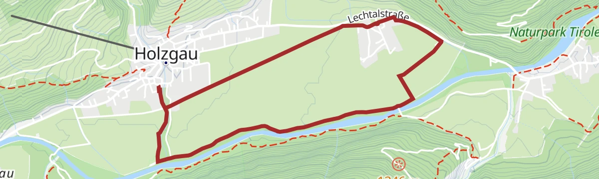
Holzgau - Jochwegrunde
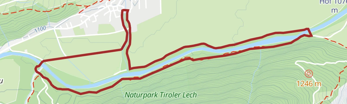
Level loop beside the free-flowing Lech and through flowering hay meadows — an unhurried round on the valley floor with no real climbing.
- 5.2 km
- Distance
- 10 m
- Ascent
- 1 h 15 min
- Duration
- 12
- Check-ins
Holzgau - Bach - Madau
A gentle valley stage on the E5 variant, wandering from Holzgau through Bach and into the Madautal to the Berggasthaus Hermine.
- 11.8 km
- Distance
- 262 m
- Ascent
- 3 h 14 min
- Duration
- 14
- Check-ins
Bach - Ansbacher Hütte
Long valley-to-hut climb from Bach via Madau and over the Flarschjoch to the Ansbacher Hütte, with views towards the Stanzer Tal and the Verwall group.
- 17.5 km
- Distance
- 1 451 m
- Ascent
- 6 h 48 min
- Duration
- 5
- Check-ins
Bach - Lechtaler Hexenkessel
Short, sunny winter walk from Bach to the Lechtaler Hexenkessel viewpoint, an easy outing on the south-facing slope above the valley.
- 2.8 km
- Distance
- 169 m
- Ascent
- 57 min
- Duration
- 4
- Check-ins
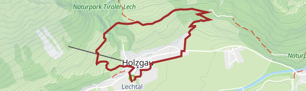
Holzgau - Rundweg Scheibe
Half-day loop above Holzgau onto the Scheibe terrace, mixing forest tracks and open slopes with steady views up and down the valley.
- 9.0 km
- Distance
- 416 m
- Ascent
- 3 h 10 min
- Duration
- 12
- Check-ins
Bacher Sonnenseiten - Runde
Easy loop on the sunny side of Bach, linking the Lechtaler Hexenkessel and the Berggasthof Klapf on gentle paths with open valley views.
- 6.7 km
- Distance
- 186 m
- Ascent
- 2 h 2 min
- Duration
- 4
- Check-ins
Lechweg Abschnitt: Holzgau - Bach
An airier section of the Lechweg between Holzgau and Bach, on narrow mountain path that asks for sure feet and a head for heights.
- 8.3 km
- Distance
- 400 m
- Ascent
- 3 h 1 min
- Duration
- 9
- Check-ins
Modertalrunde
Easy circuit from Bach through the small Modertal, passing the Lechtaler Hexenkessel on a quiet round through forest and pasture.
- 5.2 km
- Distance
- 220 m
- Ascent
- 1 h 45 min
- Duration
- 4
- Check-ins
No routes of this kind in Bach yet.
The region's own picks

Featured route
Alpenrosensteig
Easy family route to the Alpengasthof Bernhardseck, taking in the Sonnalm and the rounded top of the Lachenkopf.
Planning a trip to Bach?
Everything else Tyrol has, in one place


Take Bach with you into the mountains
Every route on this page with 3D terrain, GPX navigation and offline maps — including the valleys with no signal.
Data sources
- Official website: lechtal.at ↗
- Routes and highlights: Lechtal Tourismus, Tannheimer Tal, Naturparkregion Reutte
- Published as open data by the tourist boards named above.
- Region summary generated from the board's own material.
