
 Historic site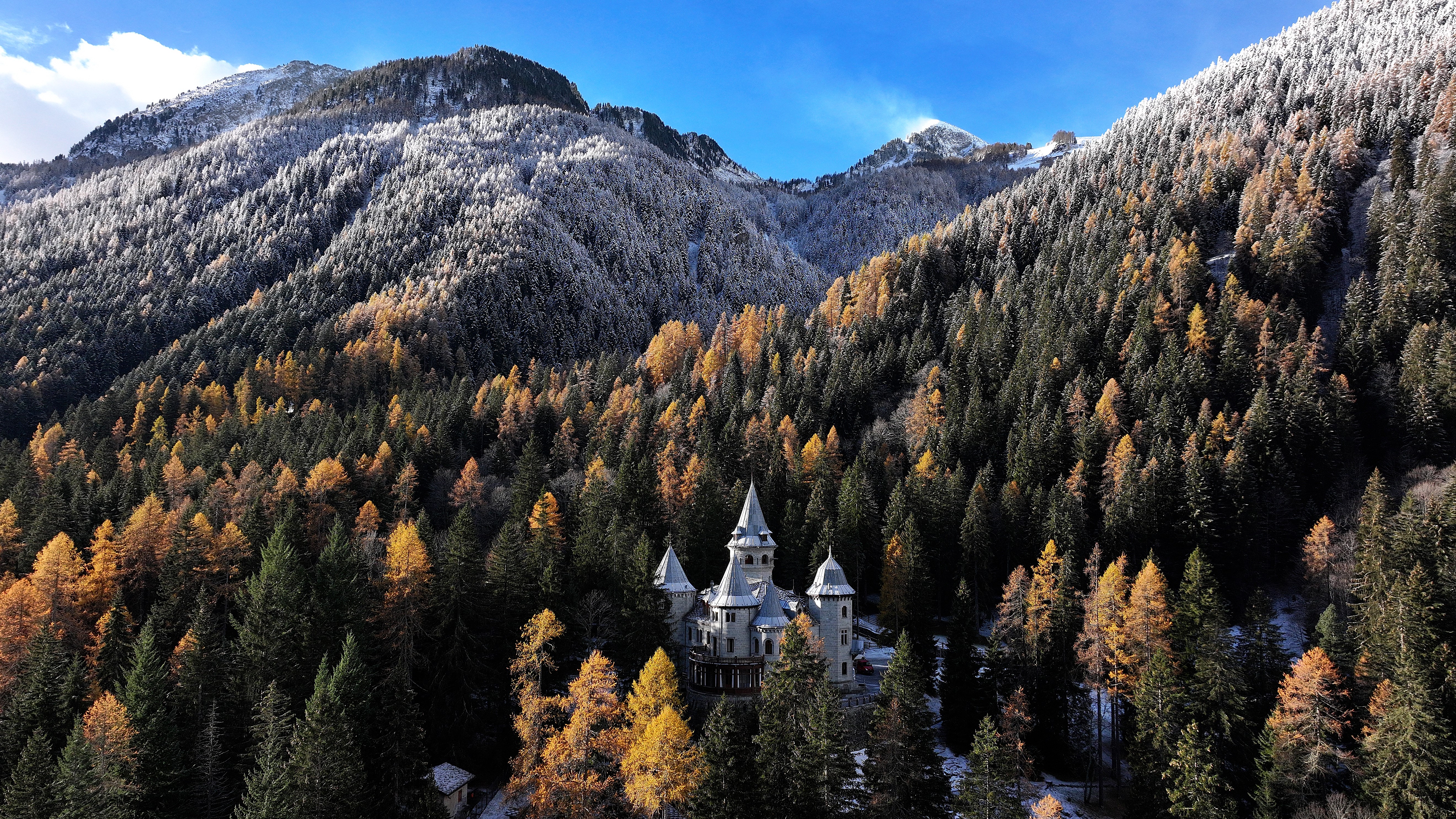









Curated by Visit Monterosa
Ayas
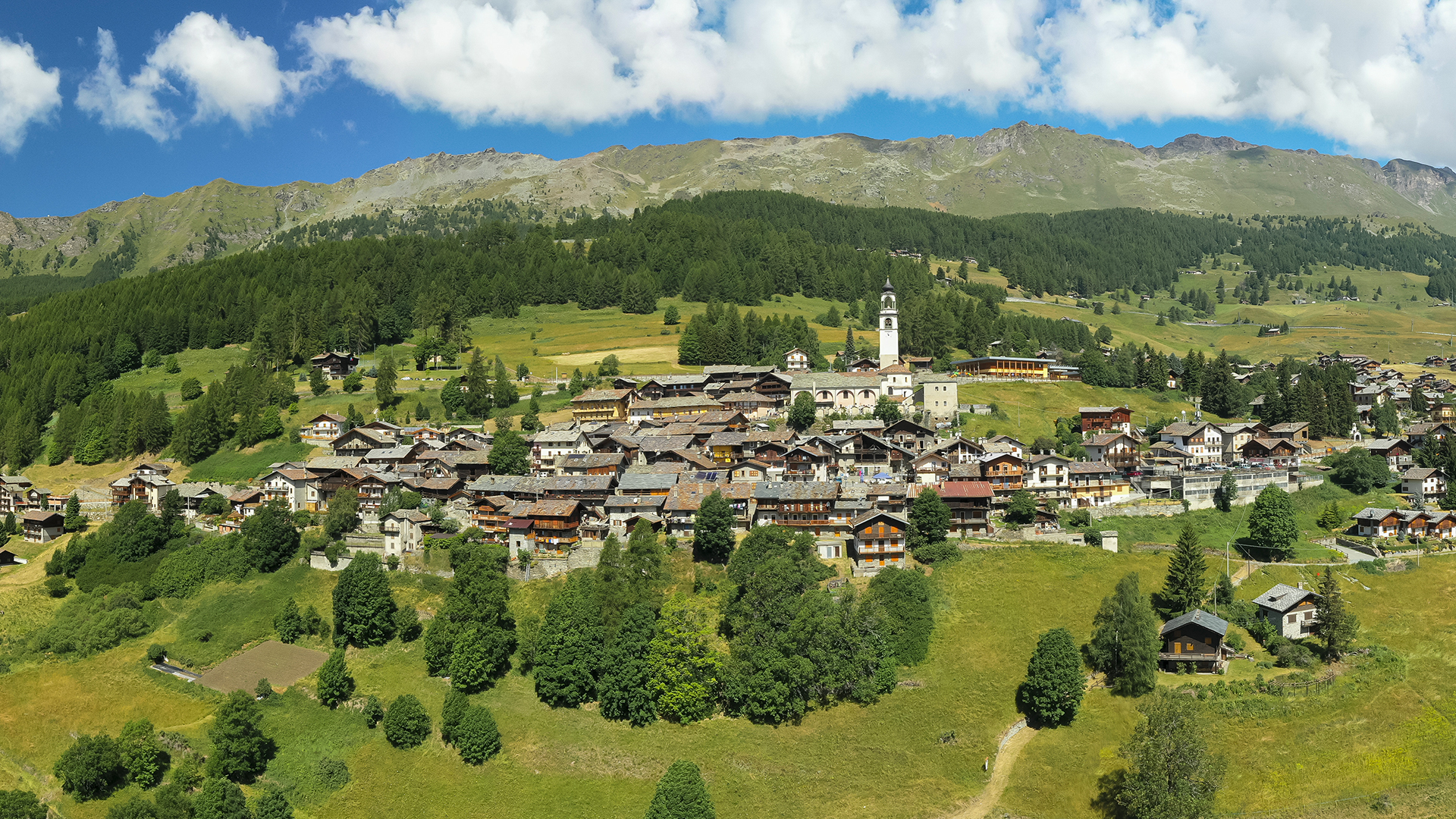
The Val d'Ayas villages of Champoluc and Antagnod below the Testa Grigia, with Monte Rosa closing the valley head.
- 2Highlights
- 23Routes
- Featured summit · Testa Grigia
Highlights
13 from neighbouring places
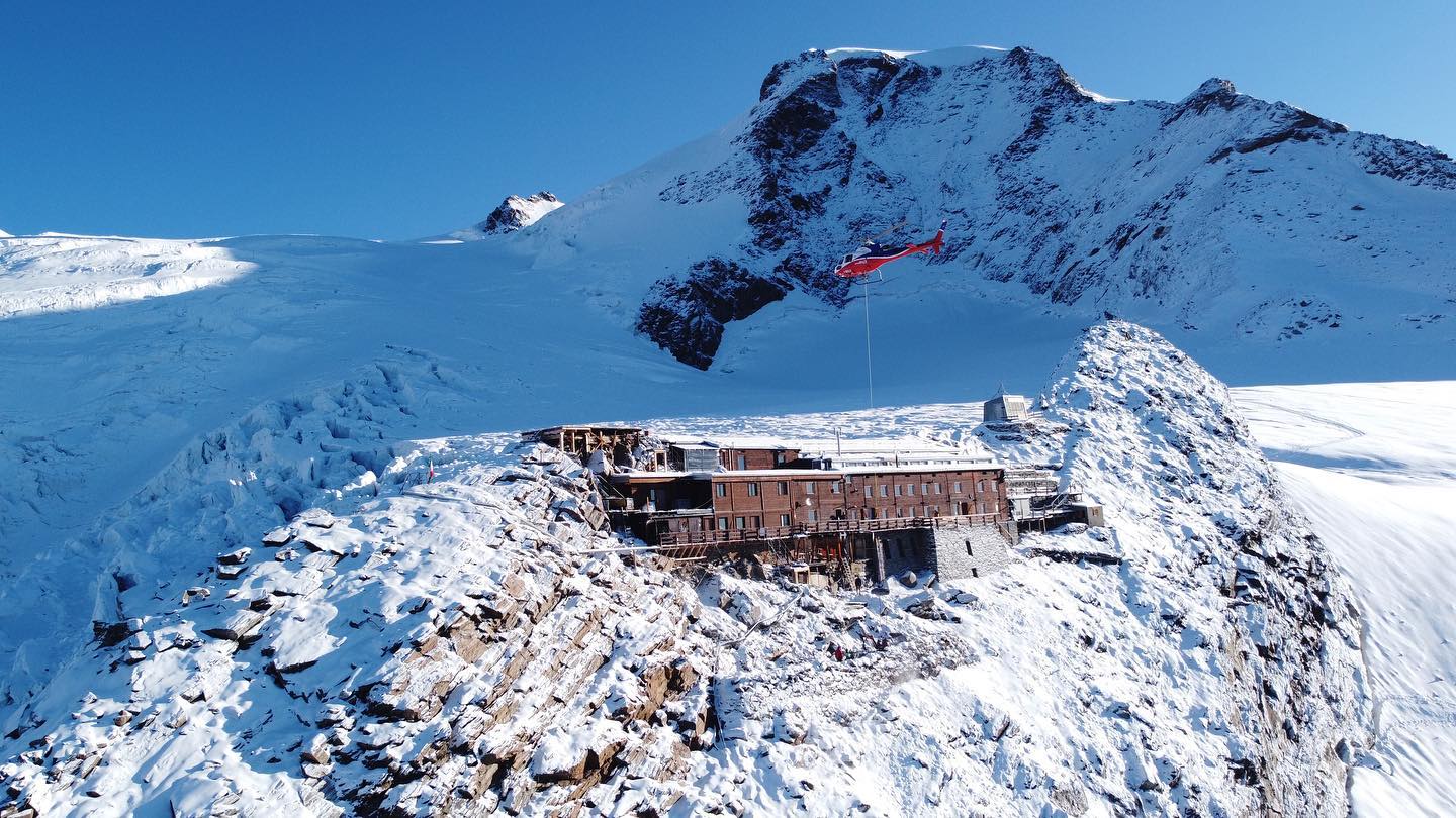
Rifugio Mezzalama
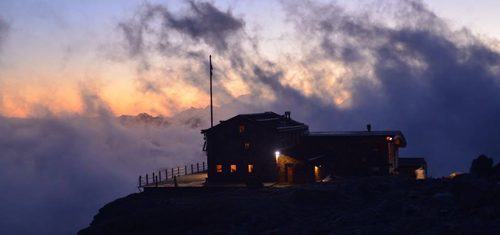
A hut at 3,036 m on the Val d'Ayas side of Monte Rosa, named after the alpinist Ottorino Mezzalama.
Antagnod Antagnò
The village at the head of the Val d'Ayas, its town hall in the Ville Rivetti built by a family of Biella industrialists.
Ecomuseo Walser
8.1 km away, in Gressoney-La-Trinité
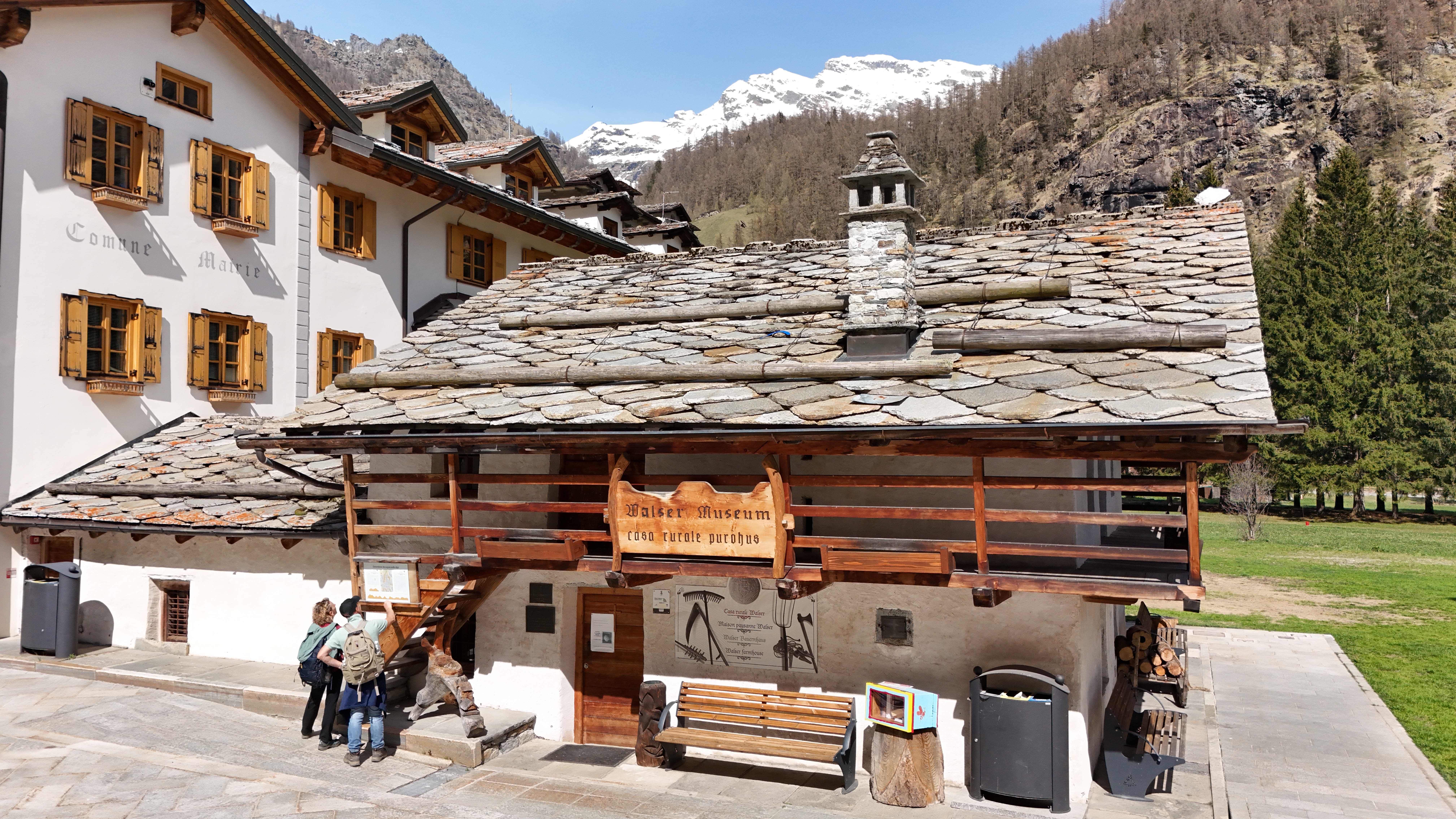
A Walser house at Gressoney kept as it was lived in, with the timber gallery and stone roof of the Lys valley.
Rifugio Arp
9.1 km away, in Brusson
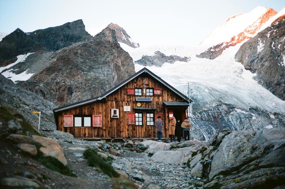
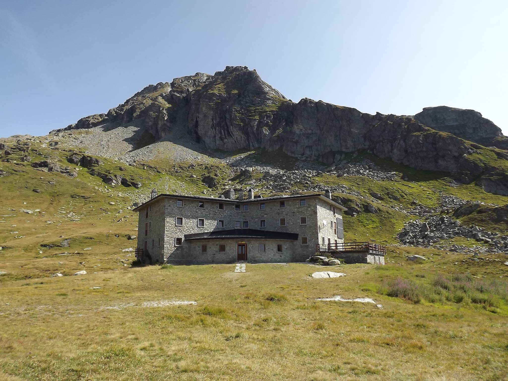
A hut at 2,446 m on a grass terrace in the Palasinaz valley, among its lakes above Brusson.
Rifugio Città di Mantova
9.6 km away, in Gressoney-La-Trinité
A guides' hut at 3,498 m on the Garstelet glacier above Gressoney, a staging post for the Monte Rosa four-thousanders.
Rifugio Capanna Gnifetti
9.9 km away, in Gressoney-La-Trinité
A hut on the Monte Rosa glaciers above Gressoney-La-Trinité, the usual overnight stop for the Punta Gnifetti climbs.
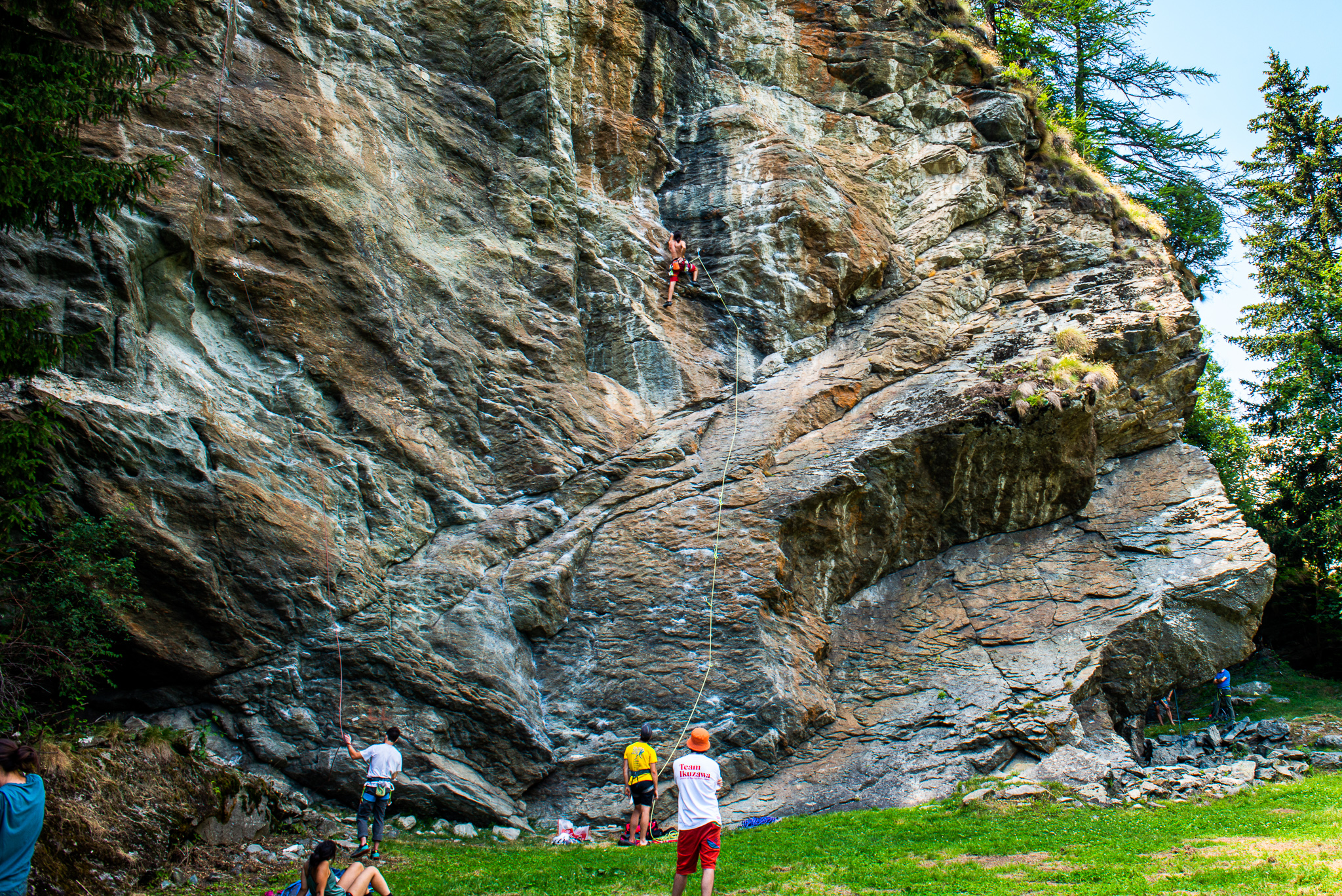
La Falesia di Extrapieraz
10.1 km away, in Brusson
A sport-climbing crag at Extrapieraz above Brusson, with easy routes suited to families.
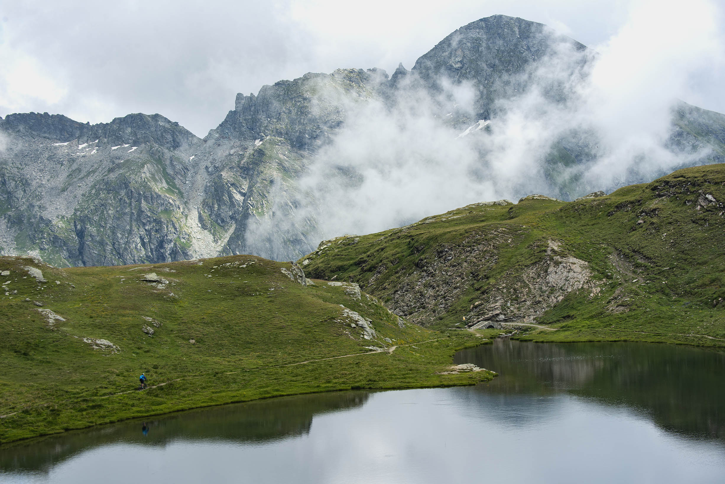
Laghi di Palasinaz
10.2 km away, in Brusson
Seven small lakes in the Palasinaz basin above Brusson, a long-standing walking round of the Val d'Ayas.
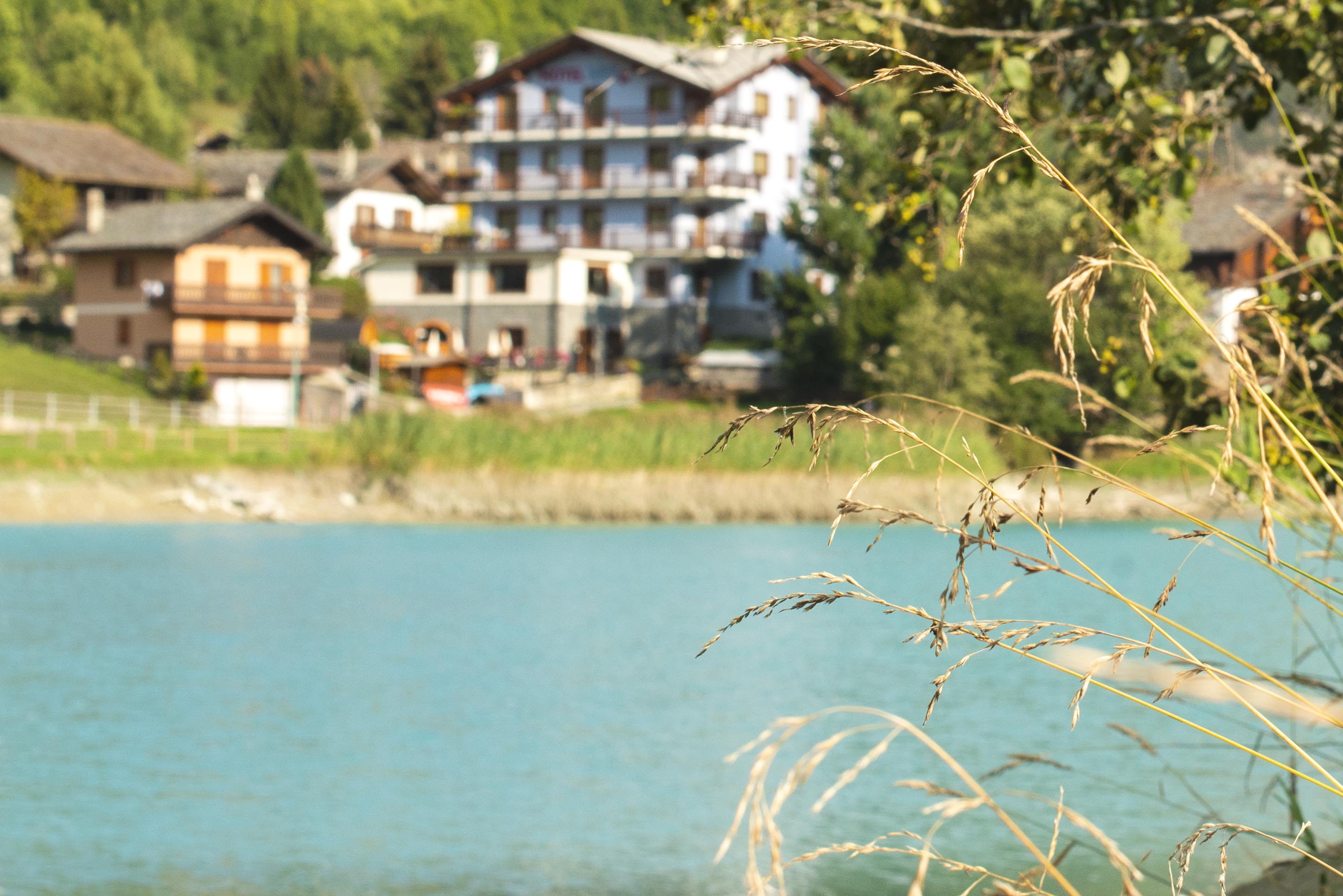
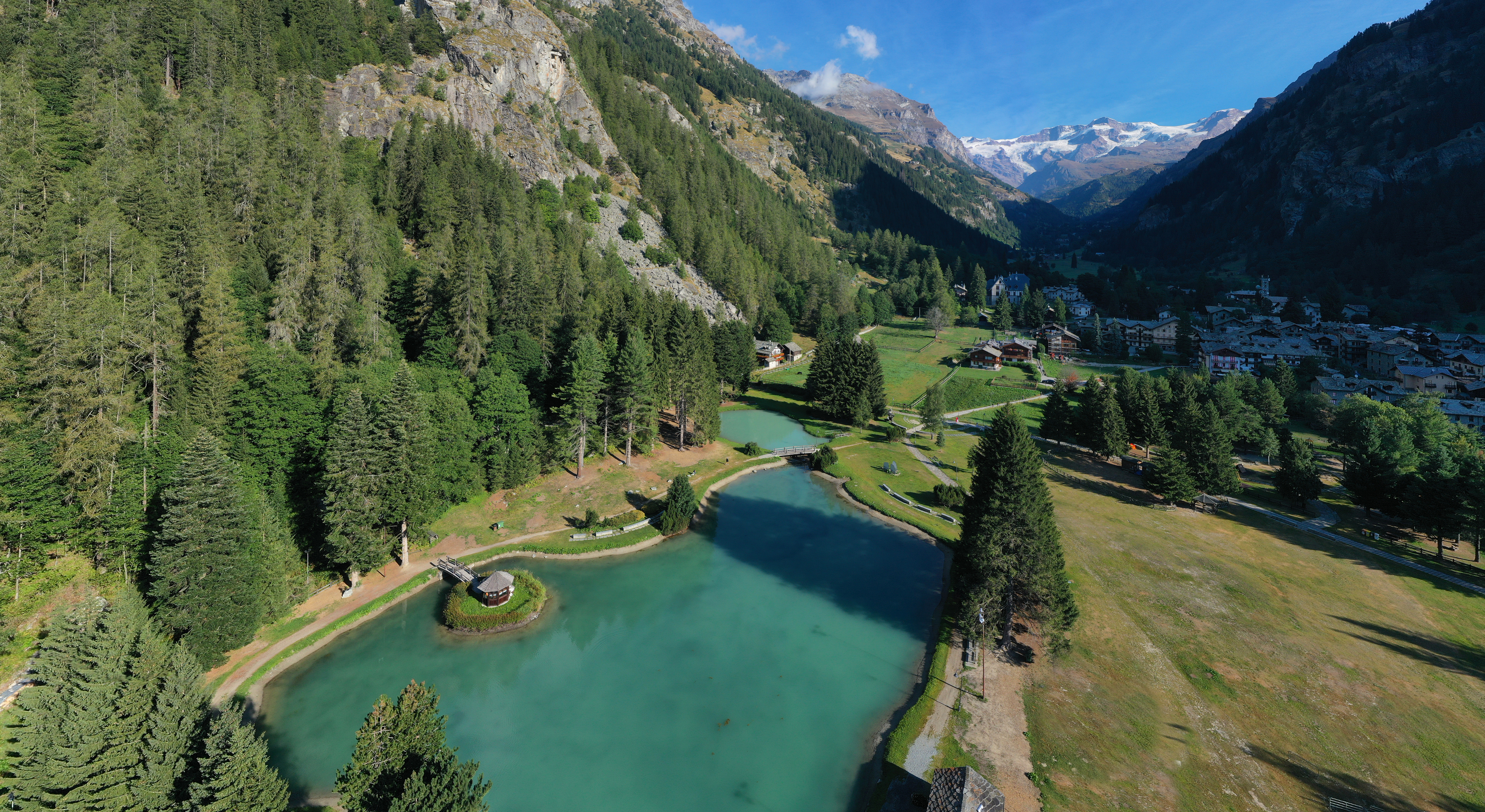
Lago di Brusson
11.5 km away, in Brusson
A lake among meadows at Brusson, with a lakeside path and playground on its shore.
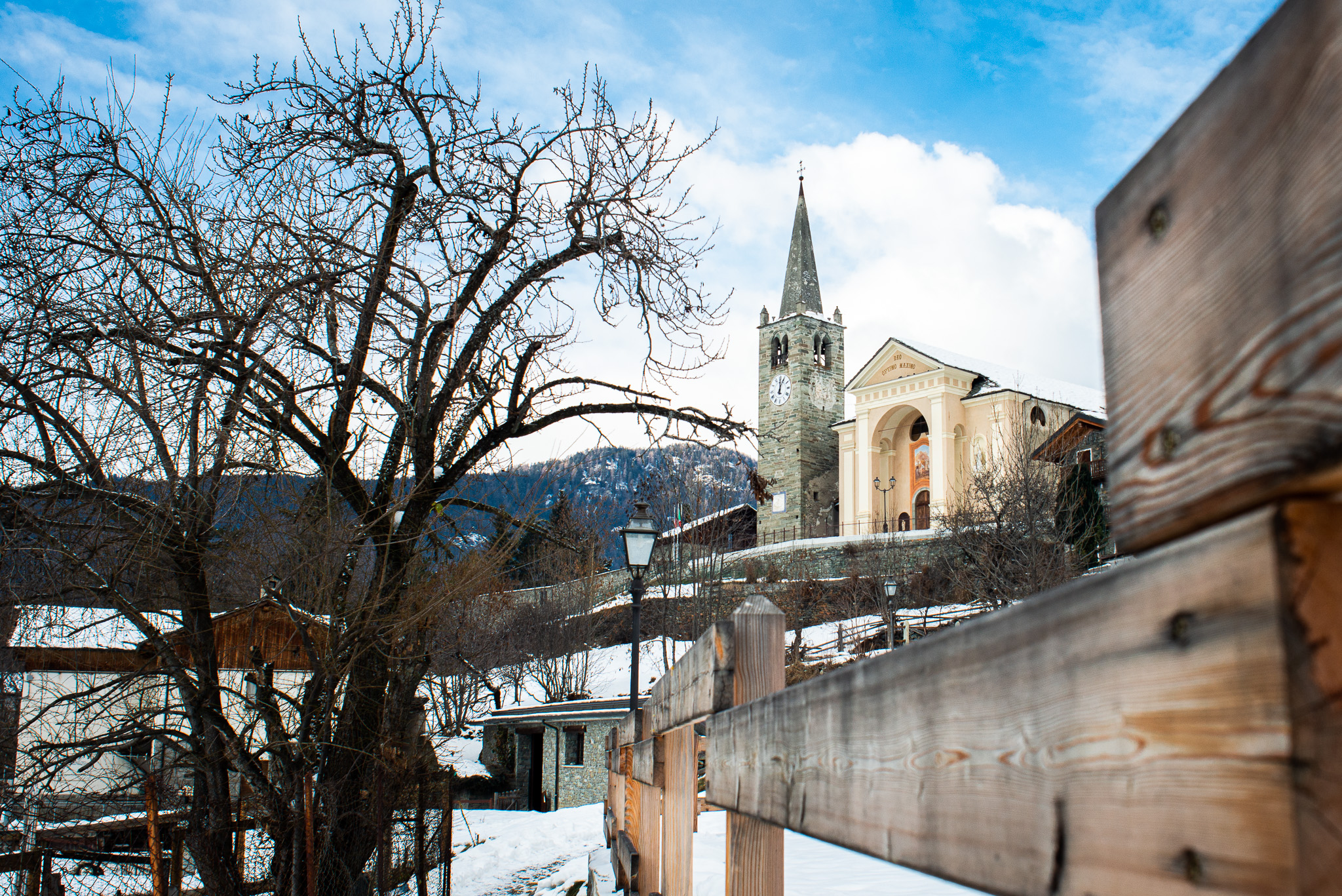
Chiesa di San Maurizio
11.5 km away, in Brusson
The church of San Maurizio in upper Brusson, built between 1870 and 1873 to a design by Giuseppe Lancia.
Lago Gover
11.7 km away, in Gressoney-Saint-Jean
A small lake in old conifer woods above Gressoney-Saint-Jean, with the Monte Rosa summits reflected on clear days.
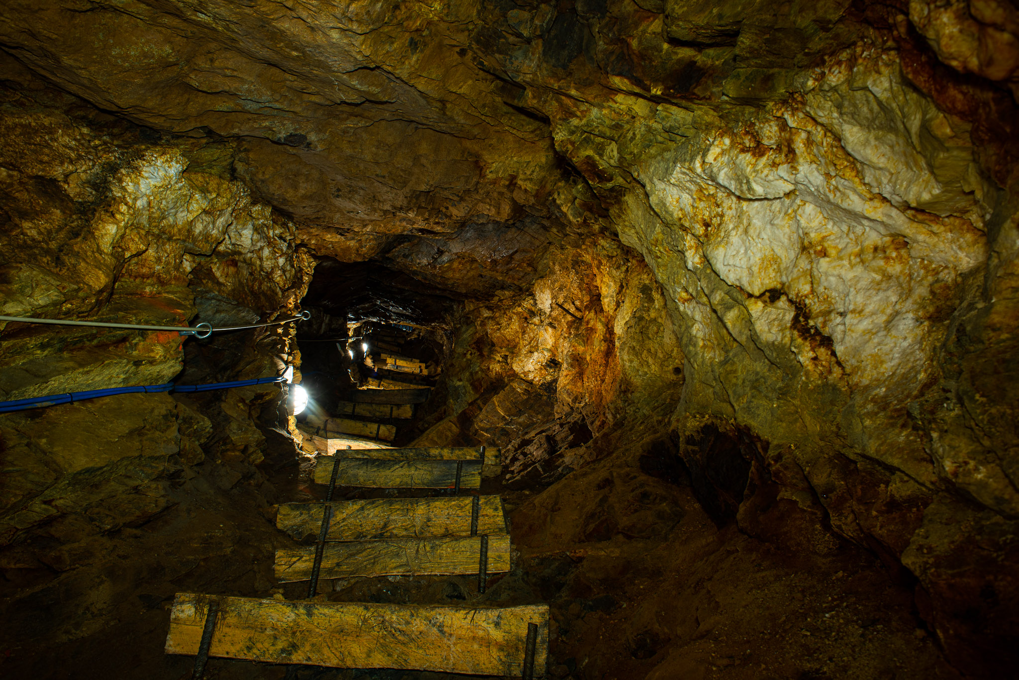
Miniere di Brusson
12.1 km away, in Brusson
Gold workings in the Val d'Ayas at Brusson, driven along the Chamousira vein and open underground.
Castel Savoia
13.2 km away, in Gressoney-Saint-Jean
The fairytale residence built from 1899 for Queen Margherita above Gressoney-Saint-Jean, with five towers and its own park.
Castello di Graines
14 km away, in Brusson
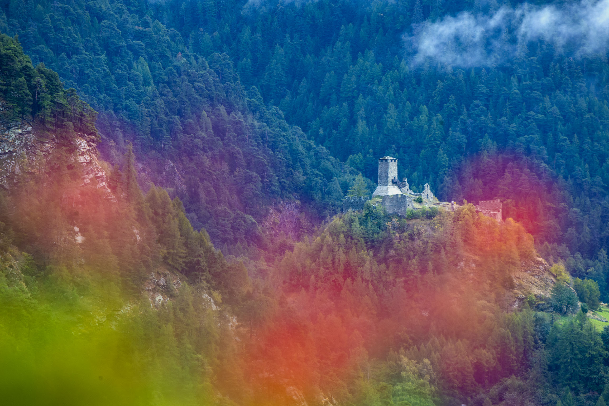
An eleventh-century castle of the primitive type on a rock spur above Brusson, one of the oldest in the Valle d'Aosta.
Casa Capriata-Rifugio Carlo Mollino
14.7 km away, in Gressoney-Saint-Jean
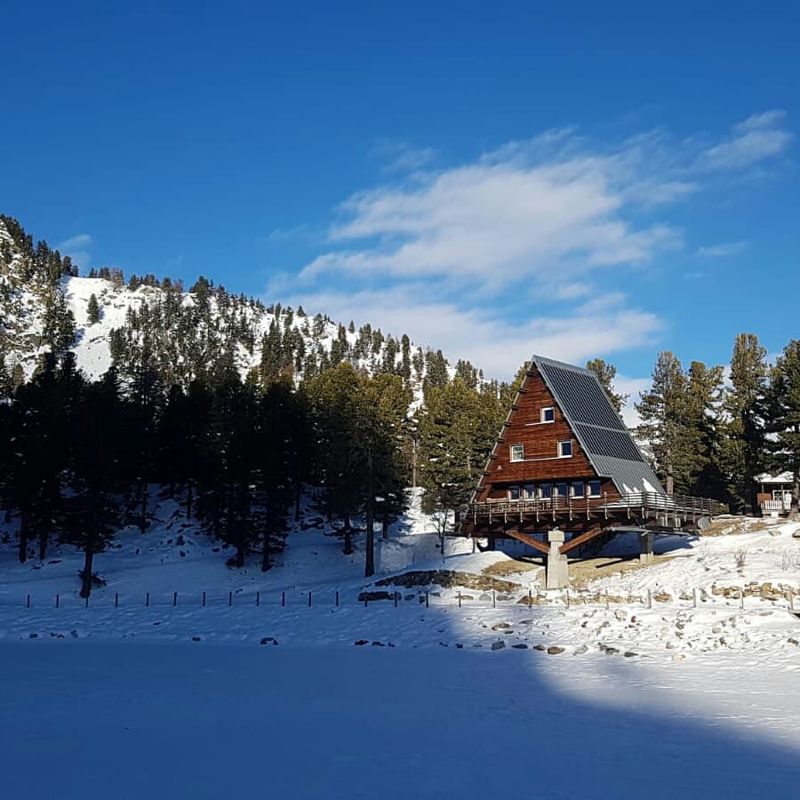
A hut in the Weissmatten ski area above 2,000 m, the Casa Capriata designed by the architect Carlo Mollino.
Nothing of this kind in Ayas.
Routes
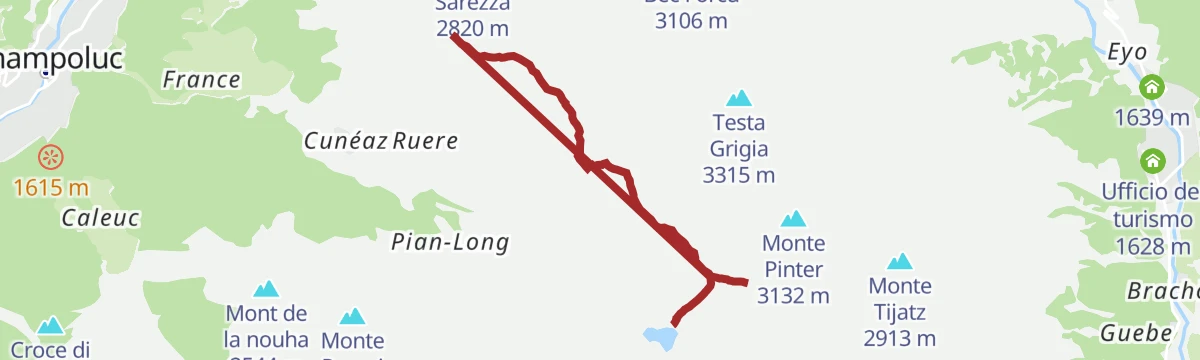
Colle Pinter
A short walk to the Colle Pinter above Ayas, on the way towards the Testa Grigia.
- 1.9 km
- Distance
- 0 m
- Ascent
- 1 h 10 min
- Duration
- 80
- Check-ins
Rifugio Quintino Sella
A climb from the Bettaforca side above Gressoney-La-Trinité to the Quintino Sella hut, on the Monte Rosa flank of the Lys valley.
- 8.3 km
- Distance
- 862 m
- Ascent
- 5 h 16 min
- Duration
- 325
- Check-ins
Tour del Monte Rosa
A stage of the ten-day Tour of Monte Rosa, a circuit of about 160 km among the highest summits of the range.
- 17.3 km
- Distance
- 929 m
- Ascent
- 8 h 8 min
- Duration
- 178
- Check-ins
Itinerario bike: Champoluc
A climb from Champoluc over the Col de Joux to Brusson, on part of the Monterosa Prestige race course.
- 19.7 km
- Distance
- 578 m
- Ascent
- 2 h 17 min
- Duration
- 11
- Check-ins
Salita alla Becca di Nana
A walk to the Becca di Nana, also called Falconetta, a much-visited 3,010 m top of the Val d'Ayas without serious difficulty.
- 4.6 km
- Distance
- 0 m
- Ascent
- 2 h 41 min
- Duration
- 48
- Check-ins
Salita al M. Zerbion
A climb to Monte Zerbion, the bulky peak dividing Ayas from Saint-Vincent and a good viewpoint over the whole Aosta valley.
- 4.1 km
- Distance
- 852 m
- Ascent
- 3 h 12 min
- Duration
- 100
- Check-ins
LAGO BLU
A long but not strenuous walk to the Lago Blu in the upper Val d'Ayas; a shorter version starts at Saint-Jacques.
- 24.6 km
- Distance
- 1 039 m
- Ascent
- 8 h 17 min
- Duration
- 177
- Check-ins
Salita alla Gran Sommetta
A short climb to the Gran Sommetta at 3,166 m, the northernmost and easiest of the three Cime Bianche above Ayas.
- 898 m
- Distance
- 306 m
- Ascent
- 1 h 3 min
- Duration
- 35
- Check-ins
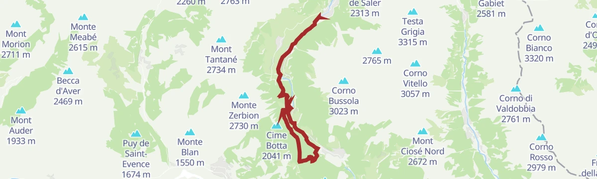
I Laghi Saler, Contenery e Ciarcerio
A walk up the left-hand side of the Ayas valley to a string of small lakes: Saler Inferiore and Superiore, Contenery and Ciarcerio.
- 5.8 km
- Distance
- 846 m
- Ascent
- 3 h 25 min
- Duration
- 97
- Check-ins
 Bar Tavola Calda Del Crest 1 976 m
 Laghetto Bucaneve 1 567 m
- Lago Saler Inferiore 2 129 m
- Lago Saler Superiore 2 215 m
- Lago Contenery 2 215 m
Gressoney-Saint-Jean
A long, hard day above Gressoney-Saint-Jean in the upper Lys valley, on the Walser slopes under Monte Rosa.
- 25.4 km
- Distance
- 2 294 m
- Ascent
- 14 h 23 min
- Duration
- 94
- Check-ins
Salita a Mascognaz
A short, easy climb from Champoluc to the old hamlet of Mascognaz, gentle enough for beginners.
- 1.4 km
- Distance
- 268 m
- Ascent
- 60 min
- Duration
- 18
- Check-ins
Laghi e Colle Pinter
A walk from Ostafa, reached by two gondola sections above Champoluc, to the well-known Pinter lakes and the pass above them.
- 6.0 km
- Distance
- 366 m
- Ascent
- 2 h 24 min
- Duration
- 87
- Check-ins
 Col Pinter 2 777 m
- Bar Ristorante Ostafa 2 422 m
- Lago del Pinter inferiore 2 689 m
- L’Abri du ski 2 397 m
- Lago del Pinter superiore 2 695 m
- Lago del Pinter medio 2 693 m
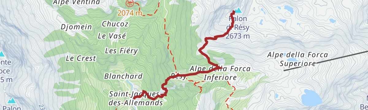
Salita al Palon di Resy
A steep climb to the Palon di Resy above Saint-Jacques, starting from Resy at about 2,060 m at the mouth of the Vallone della Forca.
- 4.0 km
- Distance
- 976 m
- Ascent
- 3 h 34 min
- Duration
- 70
- Check-ins
I Laghi di Resy
A very short walk to the Resy lakes, a scatter of tiny tarns on a rocky shelf east of the Palon di Resy.
- 627 m
- Distance
- 0 m
- Ascent
- 12 min
- Duration
Colle di Nana e Bec Trecarè
A climb to the Colle di Nana and on to Bec Trecarè, a 3,032 m top where Ayas, Valtournenche and Chamois meet.
- 2.4 km
- Distance
- 497 m
- Ascent
- 1 h 51 min
- Duration
- 59
- Check-ins
Salita al Colle Inferiore delle Cime Bianche
A long climb to the Colle Inferiore delle Cime Bianche, the pass between Ayas and Valtournenche set between the Gran Sommetta and the Bec Carre.
- 9.0 km
- Distance
- 1 270 m
- Ascent
- 5 h 2 min
- Duration
- 33
- Check-ins
La Pila
A short climb from the Brusson road towards Estoul and Palasinaz to the pasture of La Pila above the Val d'Ayas.
- 2.3 km
- Distance
- 312 m
- Ascent
- 1 h 16 min
- Duration
Salita al Lago Blu
A well-trodden climb to a small lake at 2,211 m, just above the Pian di Verra Inferiore, passing the Casa Alpina Bel Bosco on the way.
- 4.2 km
- Distance
- 484 m
- Ascent
- 2 h 20 min
- Duration
- 54
- Check-ins
Crest
A climb from Crest towards the Colle Pinter, the pass between the Ayas and Lys valleys crossed by the Alta Via 1.
- 4.5 km
- Distance
- 811 m
- Ascent
- 3 h 4 min
- Duration
- 47
- Check-ins
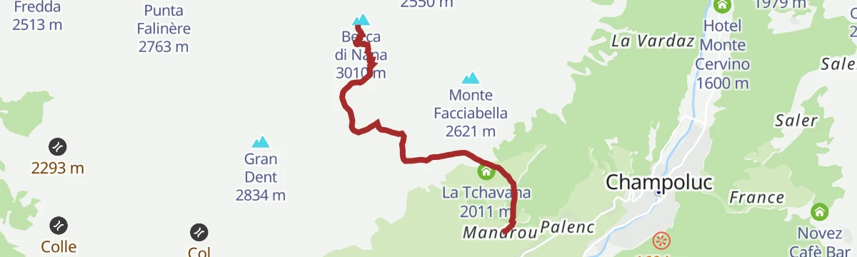
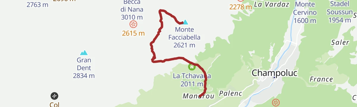
Salita al M. Facciabella da Mandrou via Colle Vascoccia
A climb from Mandrou by the Colle Vascoccia to Monte Facciabella, an inner peak of the Val d'Ayas above Champoluc, east of the Becca di Nana.
- 4.2 km
- Distance
- 814 m
- Ascent
- 3 h 1 min
- Duration
- 44
- Check-ins
Salita al Rifugio Grand Tournalin
A climb up the Vallone di Nana, crossed by the Alta Via 1, to the Grand Tournalin hut on the right side of the Val d'Ayas.
- 8.5 km
- Distance
- 1 100 m
- Ascent
- 5 h 39 min
- Duration
- 39
- Check-ins
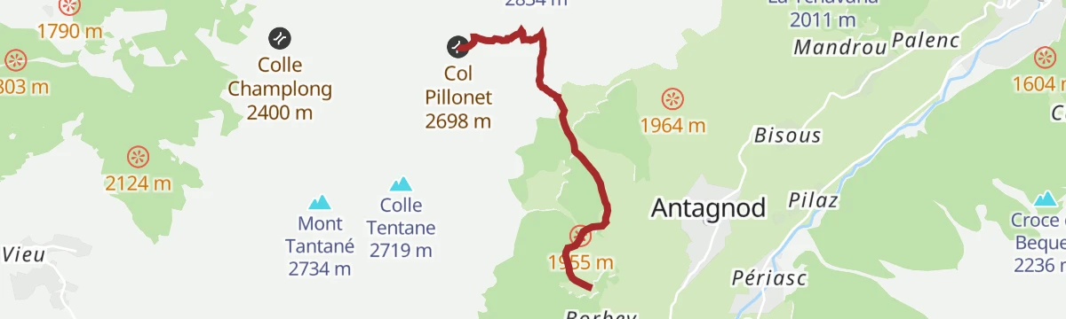
Salita al Col Pillonet
A climb to the Col Pillonet at 2,698 m, the pass joining the Barmasc side of the Val d'Ayas with the lower Valtournenche.
- 3.8 km
- Distance
- 782 m
- Ascent
- 2 h 55 min
- Duration
- 15
- Check-ins
Salita al Lago Lochien
A walk to the small Lago Lochien, held on a level shoulder along the north-east ridge of Monte Facciabella.
- 7.4 km
- Distance
- 369 m
- Ascent
- 3 h 29 min
- Duration
- 12
- Check-ins
- Lago Leichien 2 279 m
No routes of this kind in Ayas yet.
The region's own picks
Featured route
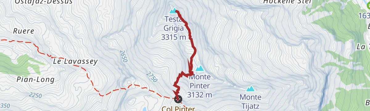
Colle Pinter
A short walk to the Colle Pinter above Ayas, on the way towards the Testa Grigia.
Planning a trip to Ayas?
Everything else Aosta Valley has, in one place


Take Ayas with you into the mountains
Every route on this page with 3D terrain, GPX navigation and offline maps — including the valleys with no signal.
Data sources
- Official website: lovevda.it ↗
- Routes and highlights: Visit Monterosa, Monterosa Outdoor
- Published as open data by the tourist boards named above.
- Region summary generated from the board's own material.
