
 Historic site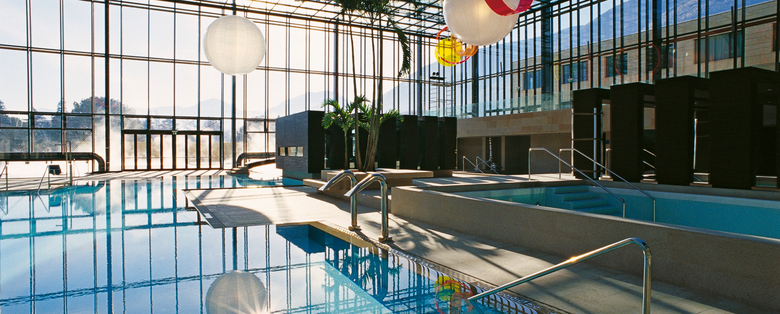









Curated by Partschins - Rabland - Töll
Avelengo/Hafling
A high sunny terrace above Merano, home of the Haflinger horse, with the Ifinger above and the Merano 2000 lifts nearby.
- 7Highlights
- 26Routes
- Featured summit · Stoanerne Mandln
Highlights
8 from neighbouring places
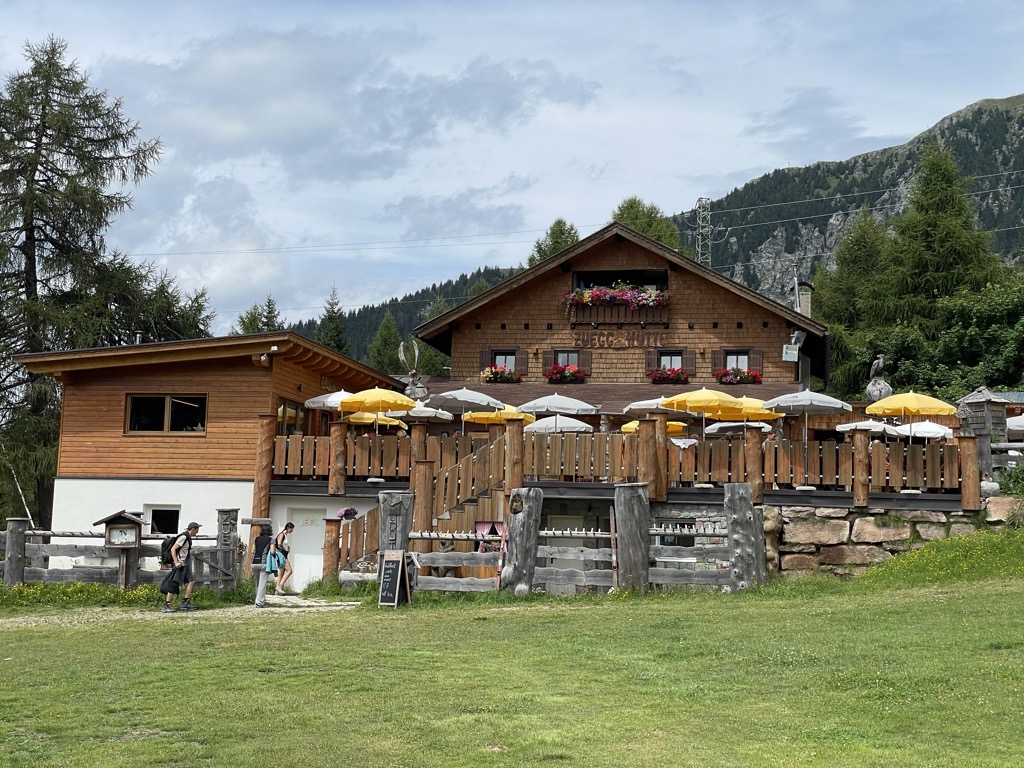
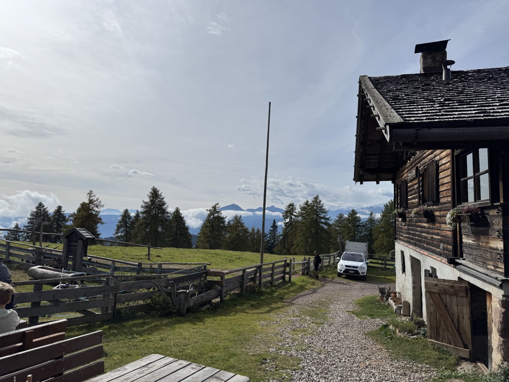
Chalet Zuegg
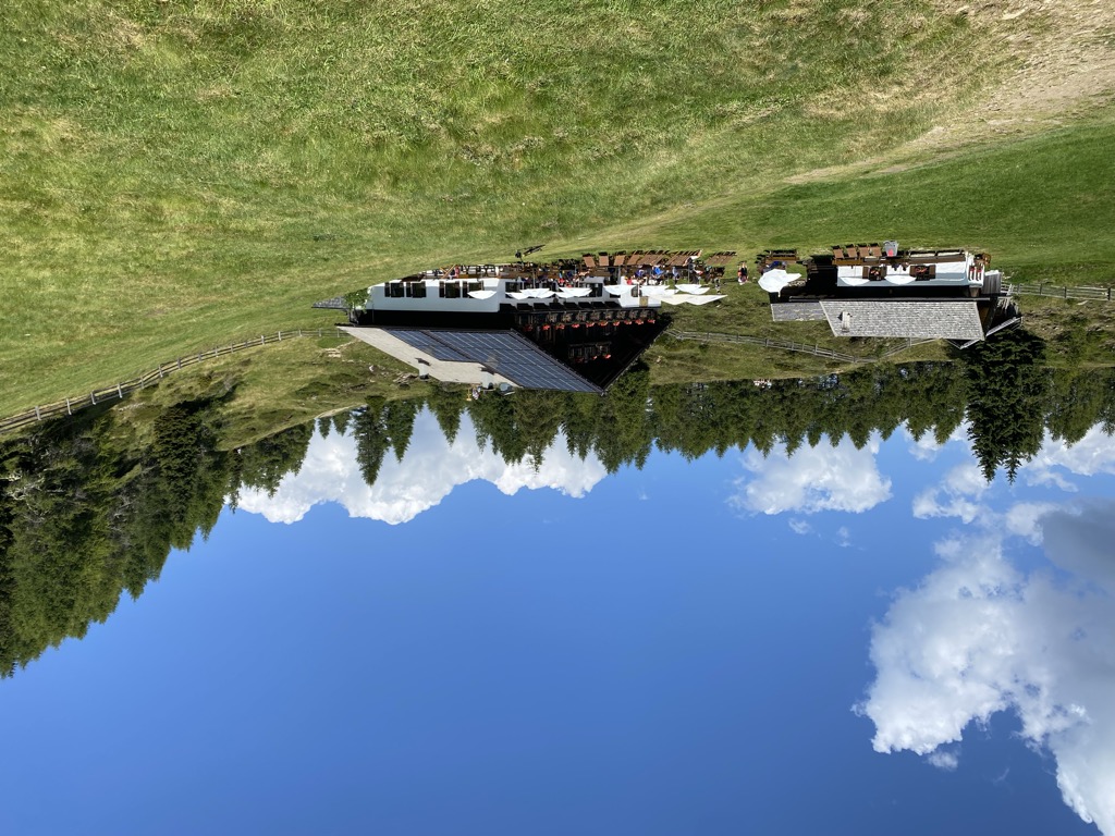
A mountain house on the meadow terrace of Avelengo, high above the Adige valley and below the Merano 2000 pastures.
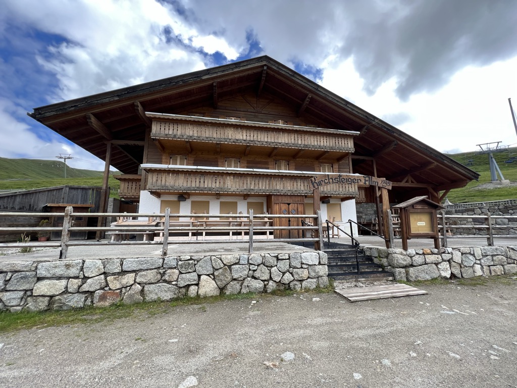
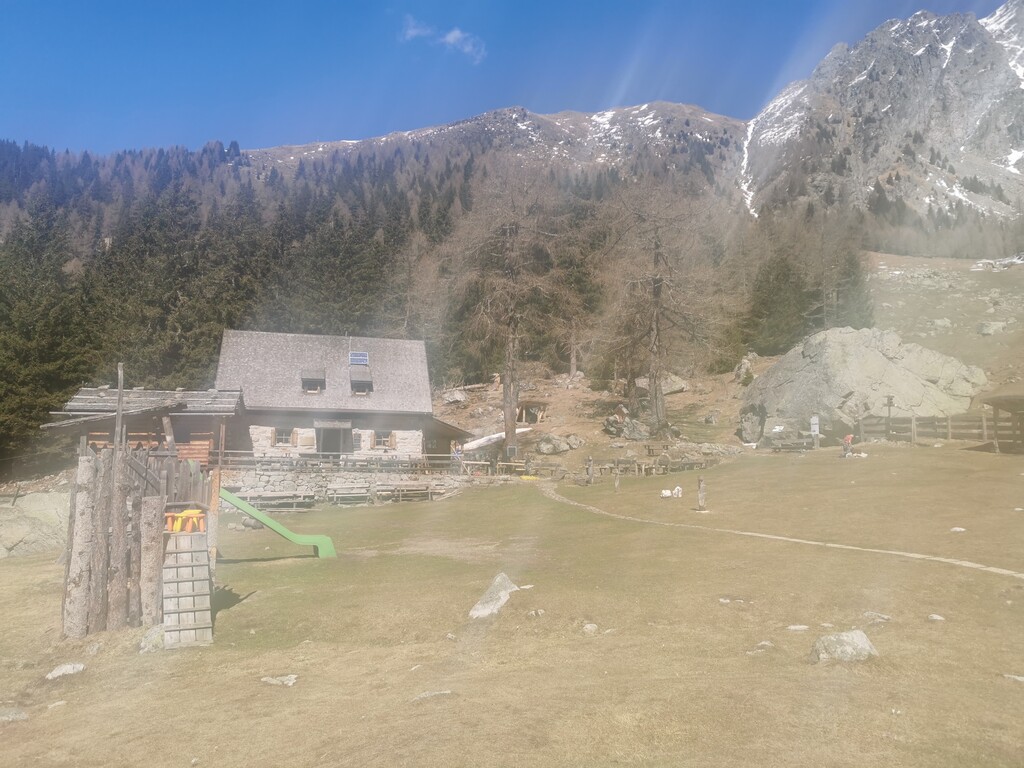
Malga Kirchsteiger
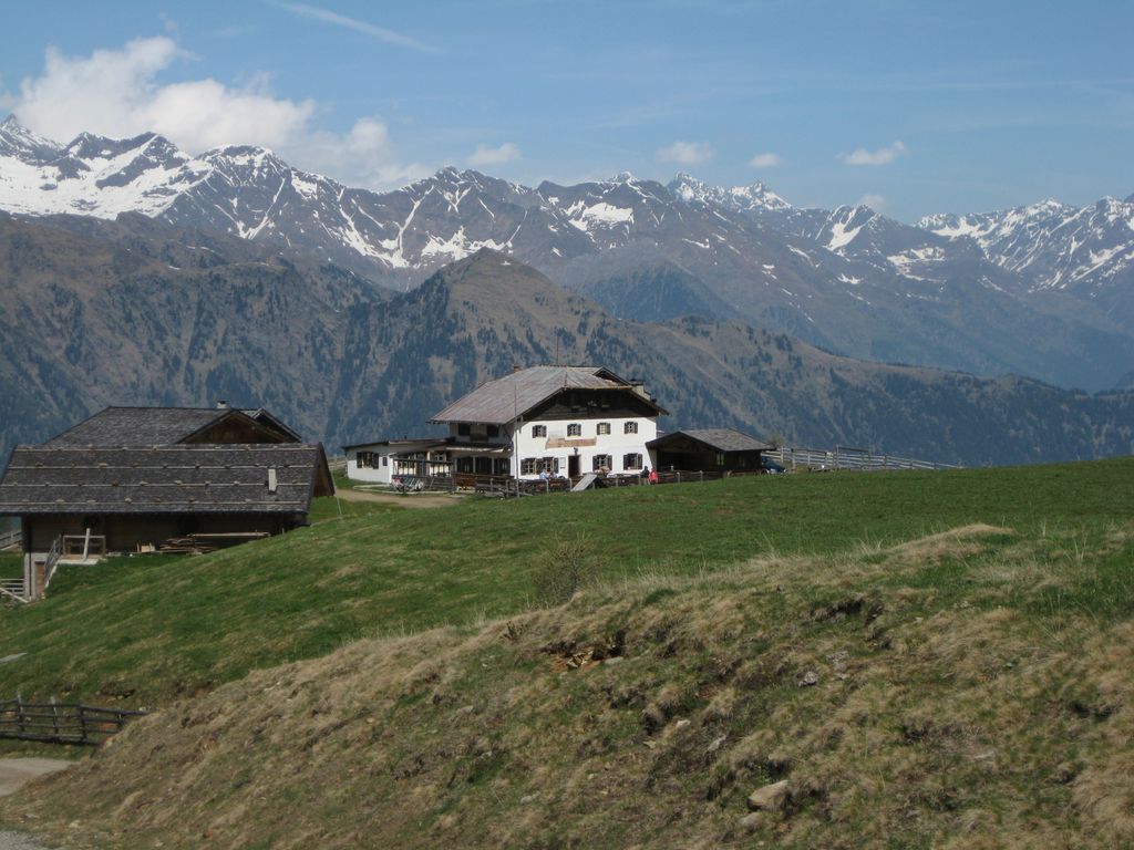
A dairy hut above Avelengo, on the pasture slopes between the Hafling farms and the Merano 2000 ski ground.
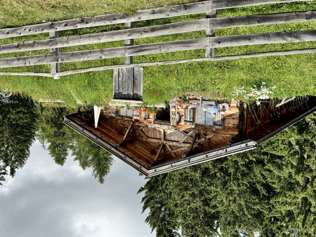
Malga Moschwaldalm
A dairy hut on the Moschwald pastures above Avelengo, in the woods below the Merano 2000 plateau.
Sterzing, Pfitsch und FreienfeldMalga Waidmannalm
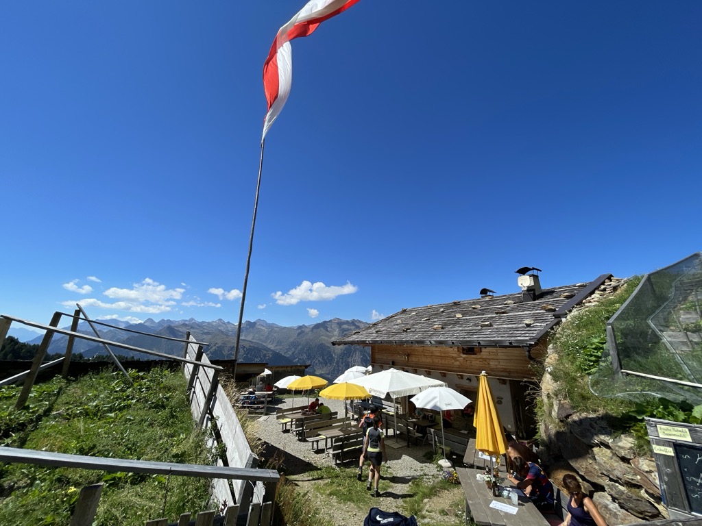
A dairy hut on the Merano 2000 pastures above Avelengo, beside the runs and walking paths of the plateau.
Malga Wurzer
A dairy hut on the pastures above Avelengo, on the high shelf between Hafling and the Ifinger.
Malga Wurzer Alm
A working dairy on the Wurzer pastures above Avelengo, on the slopes below the Ifinger, serving what it makes.
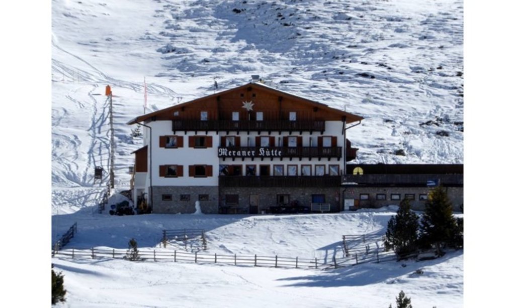
Rifugio Meraner Hütte
A refuge on the Merano 2000 pastures above Avelengo, below the Kleiner Ifinger, reached from the lifts at Falzeben.
Sterzing, Pfitsch und FreienfeldMalga Ifinger
3.6 km away, in Scena/Schenna
A dairy hut under the Ifinger above Scena, on the pastures that link the Merano 2000 plateau with the paths to the Hirzer.
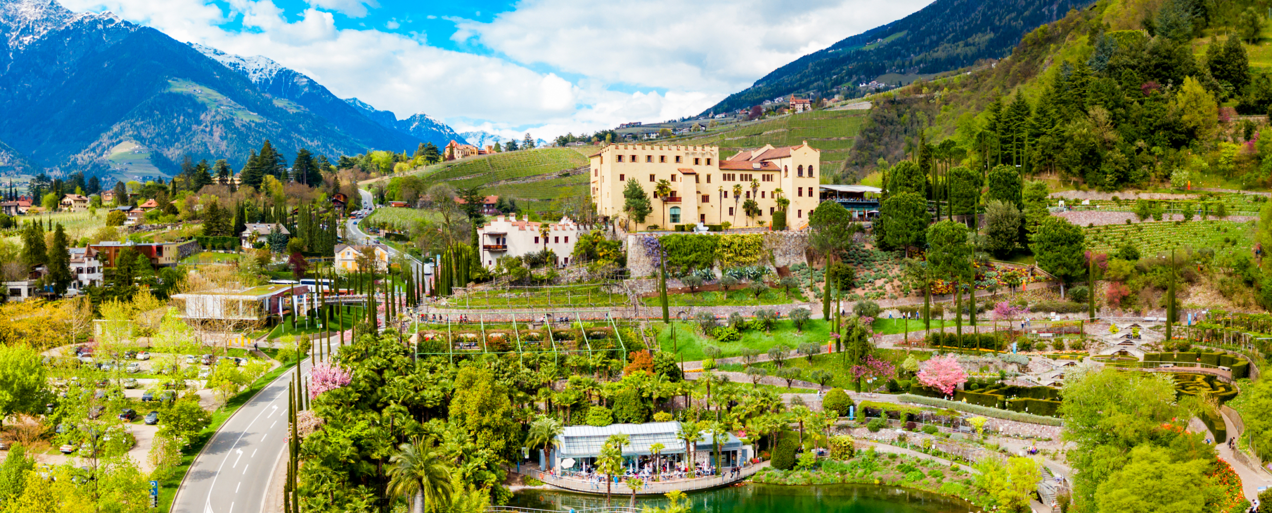
Sterzing, Pfitsch und FreienfeldGiardini di Castel Trauttmansdorff
5.2 km away, in Merano/Meran
Terraced botanic gardens around a castle above Merano, planted in zones from Mediterranean to Alpine.
Terme Merano
7.1 km away, in Merano/Meran
Thermal pools in Merano under a glass cube by Matteo Thun, with a park along the Passirio.
Stafell Alm - rifugio
7.2 km away, in Scena/Schenna
A pasture hut above Scena, on the open slopes of the Sarntal Alps between the village farms and the Hirzer paths.
Sterzing, Pfitsch und FreienfeldMalga Hirzerhütte Tallner Alm
8.4 km away, in Scena/Schenna
A dairy hut on the Tallner pastures below the Hirzer, above Scena, on the high route between the Passeier valley and the Merano side.
Hirzerhütte - rifugio
8.4 km away, in Scena/Schenna
A refuge below the Hirzer in the Sarntal Alps above Scena, reached by the cable car from the Passeier valley and the path over the pastures.
Resegger Alm - malga
8.5 km away, in Scena/Schenna
A dairy hut on the Resegg pastures above Scena, on the slopes rising from the Merano basin into the Sarntal Alps.
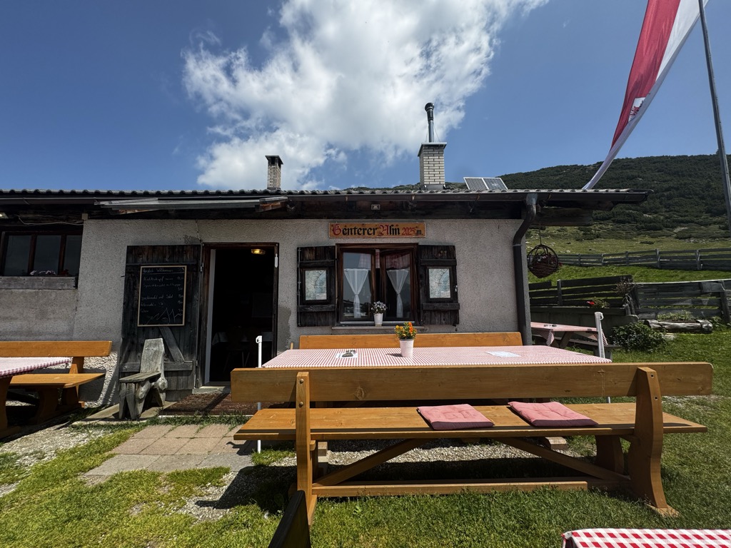
Sterzing, Pfitsch und FreienfeldGenterer Alm
10 km away, in Sarentino/Sarntal
A dairy hut on the Genter pastures of the Sarntal, above Sarentino, reached by the path that climbs through larch woods from the valley road.
Sterzing, Pfitsch und Freienfeld
Nothing of this kind in Avelengo/Hafling.
Routes
Via ferrata "Heini Holzer" Ifinger - accesso da Merano 2000
A ferrata on the Ifinger secured with a kilometre of steel cable, graded A to B/C, within reach of steady beginners from fourteen up. Start early.
- 7.5 km
- Distance
- 712 m
- Ascent
- 5 h 36 min
- Duration
- 132
- Check-ins
 Piffinger Köpfl 1 937 m
- Kleiner Ifinger 2 554 m
 Kuhleitenhütte - Rifugio Kuhleiten 2 362 m
 Passo di Nova 1 952 m
- Panorama Bistro Meran 2000 1 901 m
- Piffinger Köpfl 1 898 m
- +1
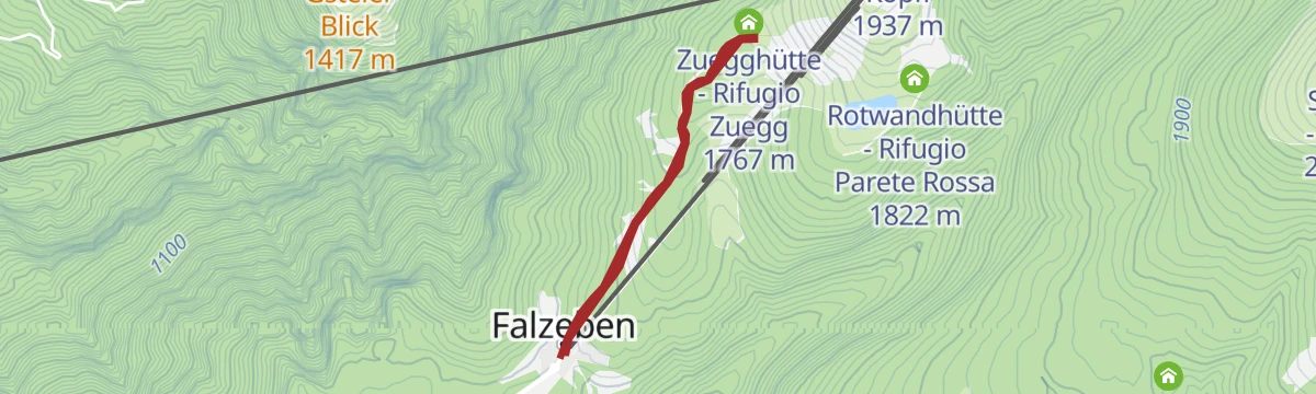
Open route Partschins - Rabland - TöllSalita - Da Falzeben al Piffinger Köpfl
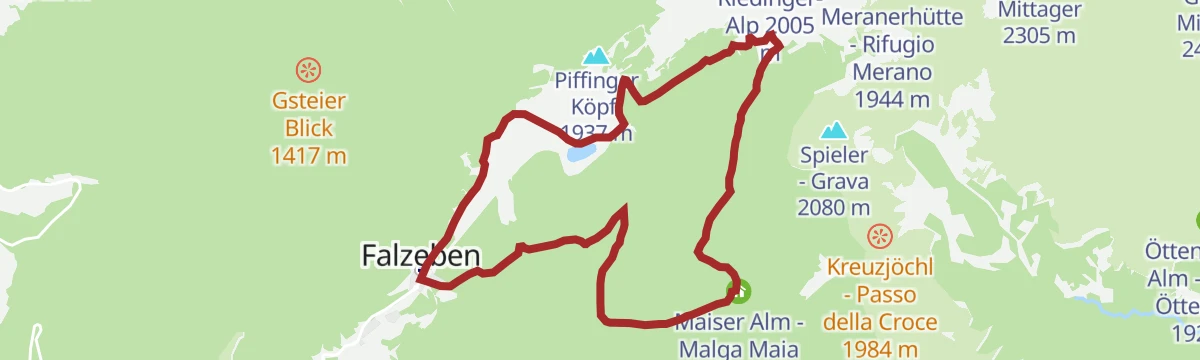
A climb from Falzeben to the Piffinger Köpfl on Merano 2000, past the Zuegg hut.
- 5.9 km
- Distance
- 302 m
- Ascent
- 2 h 10 min
- Duration
- 89
- Check-ins
- Restaurant Panorama 1 617 m
- Panorama Bistro Meran 2000 1 901 m
- Zuegghütte - Rifugio Zuegg 1 767 m
- Piffinger Köpfl 1 898 m
- Rotwandhütte - Rifugio Parete Rossa 1 822 m
 Speichersee Wallpach - Bacino idrico di Wallpach 1 809 m
- +1
Open route Partschins - Rabland - TöllEscursione circolare lungo il sentiero Otto Gurschler a Merano 2000
A circuit from the Merano 2000 top station on the Otto Gurschler path to the Mittager hut, facing the Dolomites, the Ortler and the Texel group.
- 13.2 km
- Distance
- 422 m
- Ascent
- 4 h 24 min
- Duration
- 225
- Check-ins
- Piffinger Köpfl 1 937 m
- Kesselberg 2 297 m
- Missensteiner Joch - Giogo di Pietramala 2 128 m
- Passo di Nova 1 952 m
- Kirchsteiger Alm - Malga Kirchsteiger 1 930 m
- Meranerhütte - Rifugio Merano 1 944 m
- +9
Open route Partschins - Rabland - TöllHufeisentour - alta via nelle Alpi Sarentino
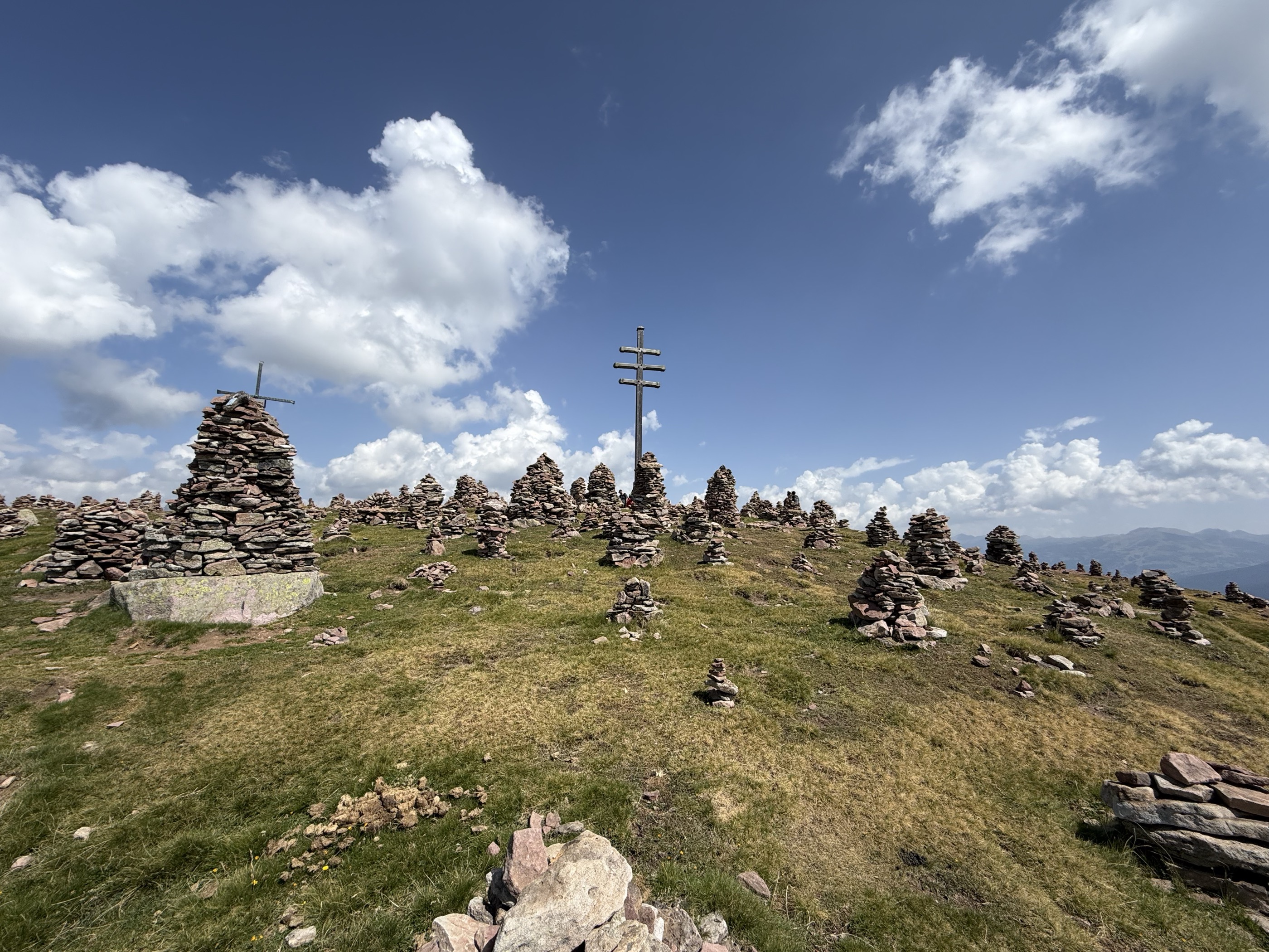
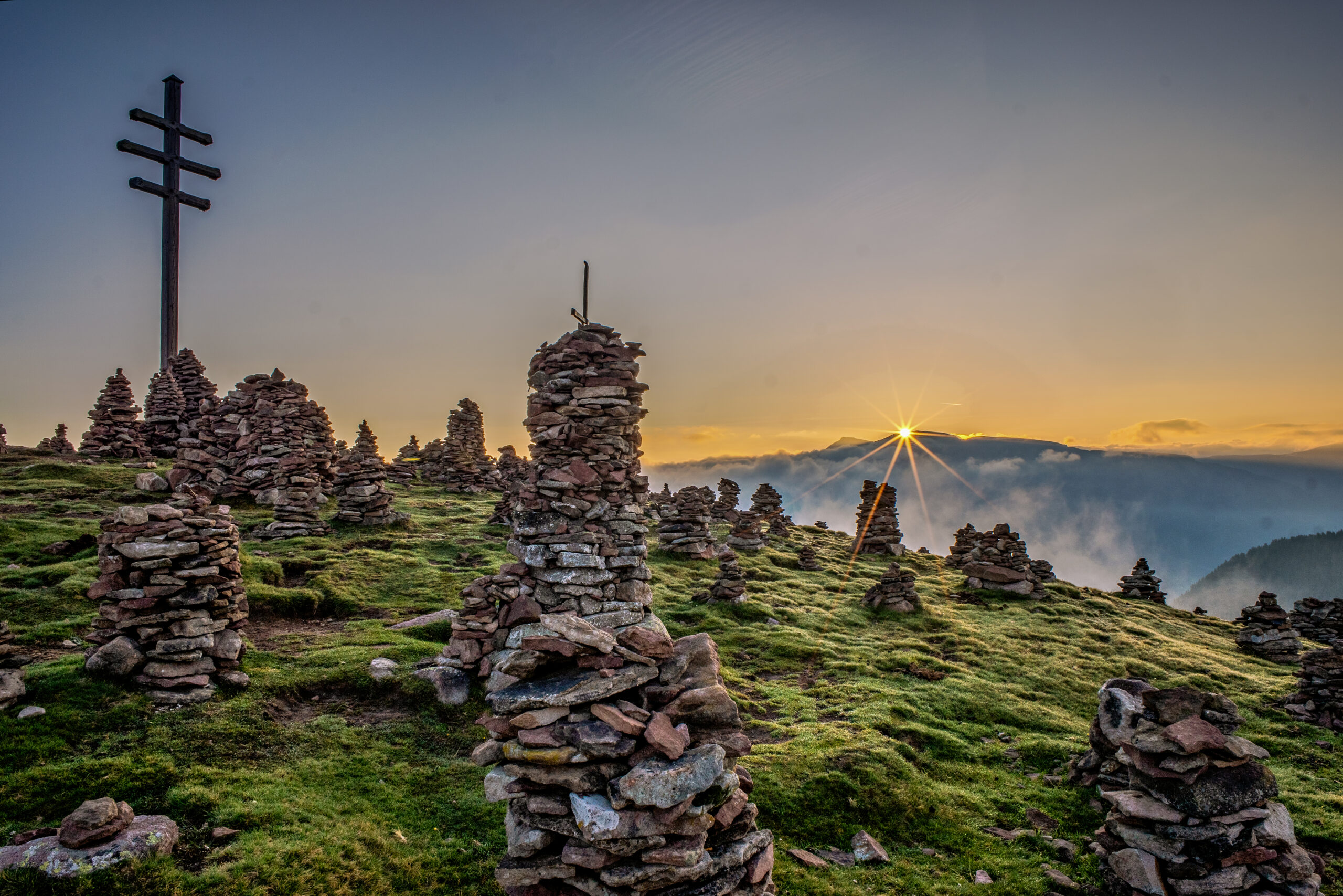
A stage of the Hufeisentour horseshoe high route through the Sarntal Alps, over the Kreuzjoch and past the stone men of the Stoanerne Mandln.
- 19.9 km
- Distance
- 603 m
- Ascent
- 6 h 27 min
- Duration
- 244
- Check-ins
- Stoanerne Mandln 2 003 m
- Kreuzjoch 2 084 m
- Kreuzjoch - Giogo della Croce 2 084 m
- Maiser Rast - Riposo di Maia 2 027 m
- Schwarzwand 2 072 m
- Vöraner Alm - Malga di Verano 1 875 m
- +9
Open route Partschins - Rabland - TöllScialpinismo al rifugio Kuhleiten Kuhleiten a Merano 2000
A marked ski route at Merano 2000 up to the Kuhleiten hut at 2,362 m, which stays open into the evening on Thursdays and Fridays.
- 6.9 km
- Distance
- 738 m
- Ascent
- 0 m
- Descent
- 2 h 29 min
- Duration
- 129
- Check-ins
- Waidmannalm 1 998 m
- Kuhleitenhütte - Rifugio Kuhleiten 2 362 m
- Restaurant Panorama 1 617 m
- Zuegghütte - Rifugio Zuegg 1 767 m
- Rotwandhütte - Rifugio Parete Rossa 1 822 m
- Forcella Sant’Osvaldo - Oswaldscharte 2 323 m
- +4
Open route Partschins - Rabland - TöllAllo Chalet Zuegg a Merano 2000
A short walk at Merano 2000 to the Zuegg chalet, a good first outing of a holiday and easy enough for families.
- 2.7 km
- Distance
- 143 m
- Ascent
- 1 h 1 min
- Duration
- 38
- Check-ins
Open route Partschins - Rabland - TöllLago di San Pancrazio a Merano 2000
A circuit from Falzeben or Piffing to the Kratzbergersee, looking across to the Sarntal; the water is cold and not for swimming.
- 14.9 km
- Distance
- 399 m
- Ascent
- 4 h 44 min
- Duration
- 188
- Check-ins
- Piffinger Köpfl 1 937 m
- Missensteiner Joch - Giogo di Pietramala 2 128 m
- Passo di Nova 1 952 m
- Kirchsteiger Alm - Malga Kirchsteiger 1 930 m
- Meranerhütte - Rifugio Merano 1 944 m
- Restaurant Panorama 1 617 m
- +7
Open route Partschins - Rabland - TöllTour panoramico sportivo
A demanding high circuit above Merano 2000 over the Kreuzjoch, with the Ortler massif, the Ötztal Alps and the Dolomites all in sight.
- 17.0 km
- Distance
- 583 m
- Ascent
- 5 h 45 min
- Duration
- 237
- Check-ins
- Piffinger Köpfl 1 937 m
- Kreuzjoch 2 084 m
- Kreuzjoch - Giogo della Croce 2 084 m
- Maiser Rast - Riposo di Maia 2 027 m
- Schwarzwand 2 072 m
- Waidmannalm 1 998 m
- +12
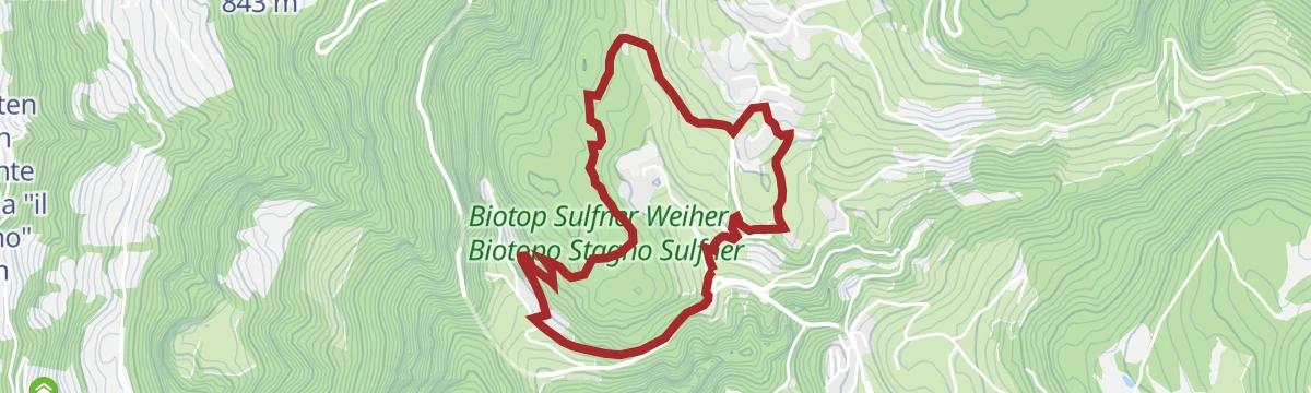
Open route Partschins - Rabland - TöllAl laghetto Sulfner
A short walk to the Sulfner pond at Avelengo, covered in white water lilies in summer, with horsetail, yellow iris and rushes at its edges.
- 4.4 km
- Distance
- 132 m
- Ascent
- 1 h 22 min
- Duration
- 5
- Check-ins
Open route Partschins - Rabland - TöllTour in cima al Monte Ifinger
An ascent of the Ifinger, the mountain above Scena, calling for a head for heights and sure footing; a lightning strike has damaged the access path.
- 11.4 km
- Distance
- 708 m
- Ascent
- 4 h 52 min
- Duration
- 161
- Check-ins
- Piffinger Köpfl 1 937 m
- Kleiner Ifinger 2 554 m
- Ifinger 2 581 m
- Waidmannalm 1 998 m
- Kuhleitenhütte - Rifugio Kuhleiten 2 362 m
- Panorama Bistro Meran 2000 1 901 m
- +4
Open route Partschins - Rabland - TöllIl sentiero escursionistico europeo E5: tappa rifugio Hirzer - rifugio Meraner
An E5 stage from the Hirzerhütte, opened in 1874 as the first alpine hut in South Tyrol, over the Hirzerscharte and past the Kratzbergersee.
- 15.8 km
- Distance
- 1 189 m
- Ascent
- 7 h 56 min
- Duration
- 190
- Check-ins
- Piffinger Köpfl 1 937 m
- Missensteiner Joch - Giogo di Pietramala 2 128 m
- Kirchsteiger Alm - Malga Kirchsteiger 1 930 m
- Meranerhütte - Rifugio Merano 1 944 m
- Gasthaus Klammeben 1 988 m
- Panorama Bistro Meran 2000 1 901 m
- +9
Open route Partschins - Rabland - TöllAlla chiesetta di S. Caterina
A short walk to the Romanesque chapel of Santa Caterina at Avelengo, built in the thirteenth century and holding fourteenth-century frescoes.
- 2.4 km
- Distance
- 23 m
- Ascent
- 39 min
- Duration
- 5
- Check-ins
Open route Partschins - Rabland - TöllAscesa al Picco d'Ivigna
The ascent of the Picco Ivigna, at 2,581 m the main peak above Avelengo, Merano and Scena, needing experience; the access path is storm-damaged.
- 9.7 km
- Distance
- 696 m
- Ascent
- 4 h 35 min
- Duration
- 136
- Check-ins
- Piffinger Köpfl 1 937 m
- Kleiner Ifinger 2 554 m
- Ifinger 2 581 m
- Kuhleitenhütte - Rifugio Kuhleiten 2 362 m
- Passo di Nova 1 952 m
- Piffinger Köpfl 1 898 m
- +1
Open route Partschins - Rabland - TöllMeran 2000
A high panoramic traverse from Merano 2000 to the Jenesien plateau above Bolzano, past alpine dairies and the Stoanerne Mandln cairns.
- 21.9 km
- Distance
- 376 m
- Ascent
- 6 h 53 min
- Duration
- 178
- Check-ins
Facile escursione da Verano ad Avelengo
An easy link from Verano to Avelengo along the Tschögglberg terrace, level enough for a pushchair and with inns on the way.
- 6.3 km
- Distance
- 143 m
- Ascent
- 1 h 52 min
- Duration
- 5
- Check-ins
Open route Partschins - Rabland - TöllEscursione ai rifugi a Merano 2000 in estate
A hut-to-hut round from Falzeben across the best of the Merano 2000 viewpoints, with sunny terraces to stop on along the way.
- 12.1 km
- Distance
- 451 m
- Ascent
- 3 h 58 min
- Duration
- 128
- Check-ins
- Kirchsteiger Alm - Malga Kirchsteiger 1 930 m
- Meranerhütte - Rifugio Merano 1 944 m
- Restaurant Panorama 1 617 m
- Passo della Croce 1 983 m
- Zuegghütte - Rifugio Zuegg 1 767 m
- Rotwandhütte - Rifugio Parete Rossa 1 822 m
- +4
Open route Partschins - Rabland - TöllDalla malga Taser a Merano 2000 passando per la forcella Oswaldscharte
A crossing from Malga Taser over the Oswaldscharte to the broad meadows of Merano 2000, below the Ifinger, with dairies to stop at.
- 10.4 km
- Distance
- 928 m
- Ascent
- 4 h 60 min
- Duration
- 95
- Check-ins
- Piffinger Köpfl 1 937 m
- Passo di Nova 1 952 m
- Panorama Bistro Meran 2000 1 901 m
- Piffinger Köpfl 1 898 m
- Forcella Sant’Osvaldo - Oswaldscharte 2 323 m
- Gasthof Taser Alm 1 457 m
- +3
Open route Partschins - Rabland - TöllSentiero d'avventura del cavallo
A themed path from the village of Avelengo to Santa Caterina, given over to the blond-maned Haflinger horse the place is named for.
- 2.3 km
- Distance
- 22 m
- Ascent
- 37 min
- Duration
- 5
- Check-ins
Open route Partschins - Rabland - TöllPiacevole escursione in rifugio a Merano 2000 in estate
An easy hut-to-hut round in the Merano 2000 area, gentle enough to manage with an off-road pushchair.
- 7.1 km
- Distance
- 199 m
- Ascent
- 2 h 9 min
- Duration
- 128
- Check-ins
- Piffinger Köpfl 1 937 m
- Waidmannalm 1 998 m
- Passo di Nova 1 952 m
- Kirchsteiger Alm - Malga Kirchsteiger 1 930 m
- Meranerhütte - Rifugio Merano 1 944 m
- Piffinger Köpfl 1 898 m
Open route Partschins - Rabland - TöllAl belvedere Hochsulfen
A short walk from the Santa Caterina chapel south through shaded wood to the Hochsulfen top at 1,345 m, with a rest area for children.
- 2.2 km
- Distance
- 110 m
- Ascent
- 48 min
- Duration
- 1
- Check-ins
Open route Partschins - Rabland - TöllEscursione in via ferrata sul Picco Ivigna
A B/C ferrata to the top of the Picco Ivigna at 2,581 m, the main peak of Avelengo, Merano and Scena, calling for fitness and a head for heights.
- 6.5 km
- Distance
- 734 m
- Ascent
- 4 h 24 min
- Duration
- 116
- Check-ins
- Piffinger Köpfl 1 937 m
- Kleiner Ifinger 2 554 m
- Ifinger 2 581 m
- Passo di Nova 1 952 m
- Panorama Bistro Meran 2000 1 901 m
- Piffinger Köpfl 1 898 m
Open route Partschins - Rabland - TöllSentiero della cascata
A short path to a small waterfall on the Rio Sinigo, with a viewing platform at the end.
- 2.6 km
- Distance
- 104 m
- Ascent
- 51 min
- Duration
Open route Partschins - Rabland - Töll2 vette in un giorno – Windspitz e Mittager
Two tops in a day above Merano 2000: the Windspitz facing the ridged crest of the Ifinger, then the Mittager with its all-round view. Fitness needed.
- 12.2 km
- Distance
- 782 m
- Ascent
- 5 h 19 min
- Duration
- 108
- Check-ins
- Piffinger Köpfl 1 937 m
- Großer Mittager 2 422 m
- Windspitz 2 390 m
- Waidmannalm 1 998 m
- Panorama Bistro Meran 2000 1 901 m
- Piffinger Köpfl 1 898 m
- +1
Open route Partschins - Rabland - TöllEscursione alle malghe Maiser Alm & Moschwaldalm
A walk over broad meadows and through quiet wood to the Maiser Alm and Moschwaldalm dairies at Merano 2000.
- 9.1 km
- Distance
- 311 m
- Ascent
- 2 h 54 min
- Duration
- 75
- Check-ins
- Restaurant Panorama 1 617 m
- Zuegghütte - Rifugio Zuegg 1 767 m
- Rotwandhütte - Rifugio Parete Rossa 1 822 m
- Speichersee Wallpach - Bacino idrico di Wallpach 1 809 m
- Restaurant Falzeben 1 618 m
- Maiser Alm - Malga Maia 1 788 m
- +1
Open route Partschins - Rabland - TöllEscursione delle tre malghe
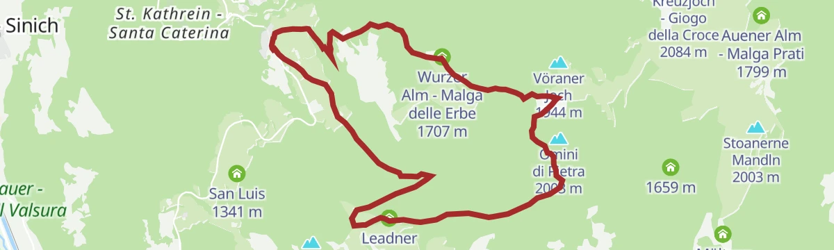
A circuit largely on wide forest roads past the Bruggen pond to three alpine dairies; in winter only the Leadner and Wurzer huts open.
- 13.7 km
- Distance
- 604 m
- Ascent
- 4 h 42 min
- Duration
- 55
- Check-ins
- Vöraner Alm - Malga di Verano 1 875 m
- Leadner Alm - Malga Leadner 1 518 m
- Wurzer Alm - Malga delle Erbe 1 707 m
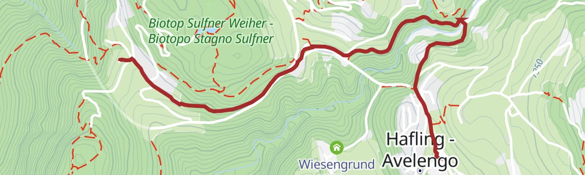
Open route Partschins - Rabland - TöllKnottnkino - Escursione con partenza ad Avelengo paese
A walk from Avelengo to the Knottnkino on the Rotstein Knott, where thirty steel and chestnut chairs face the Adige valley and the Texel group.
- 12.2 km
- Distance
- 368 m
- Ascent
- 3 h 46 min
- Duration
- 10
- Check-ins
Open route Partschins - Rabland - Töll
No routes of this kind in Avelengo/Hafling yet.
The region's own picks
Featured route
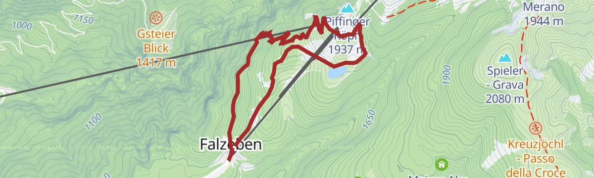
Salita - Da Falzeben al Piffinger Köpfl
A climb from Falzeben to the Piffinger Köpfl on Merano 2000, past the Zuegg hut.
Planning a trip to Avelengo/Hafling?
Everything else Trentino-Alto Adige/Südtirol has, in one place


Take Avelengo/Hafling with you into the mountains
Every route on this page with 3D terrain, GPX navigation and offline maps — including the valleys with no signal.
Data sources
- Official website: merano-suedtirol.it ↗
- Routes and highlights: Partschins - Rabland - Töll, Sterzing, Pfitsch und Freienfeld, Italia.it, YesAlps, E5 Alps Crossing
- Published as open data by the tourist boards named above.
- Region summary generated from the board's own material.
