
 Viewpoint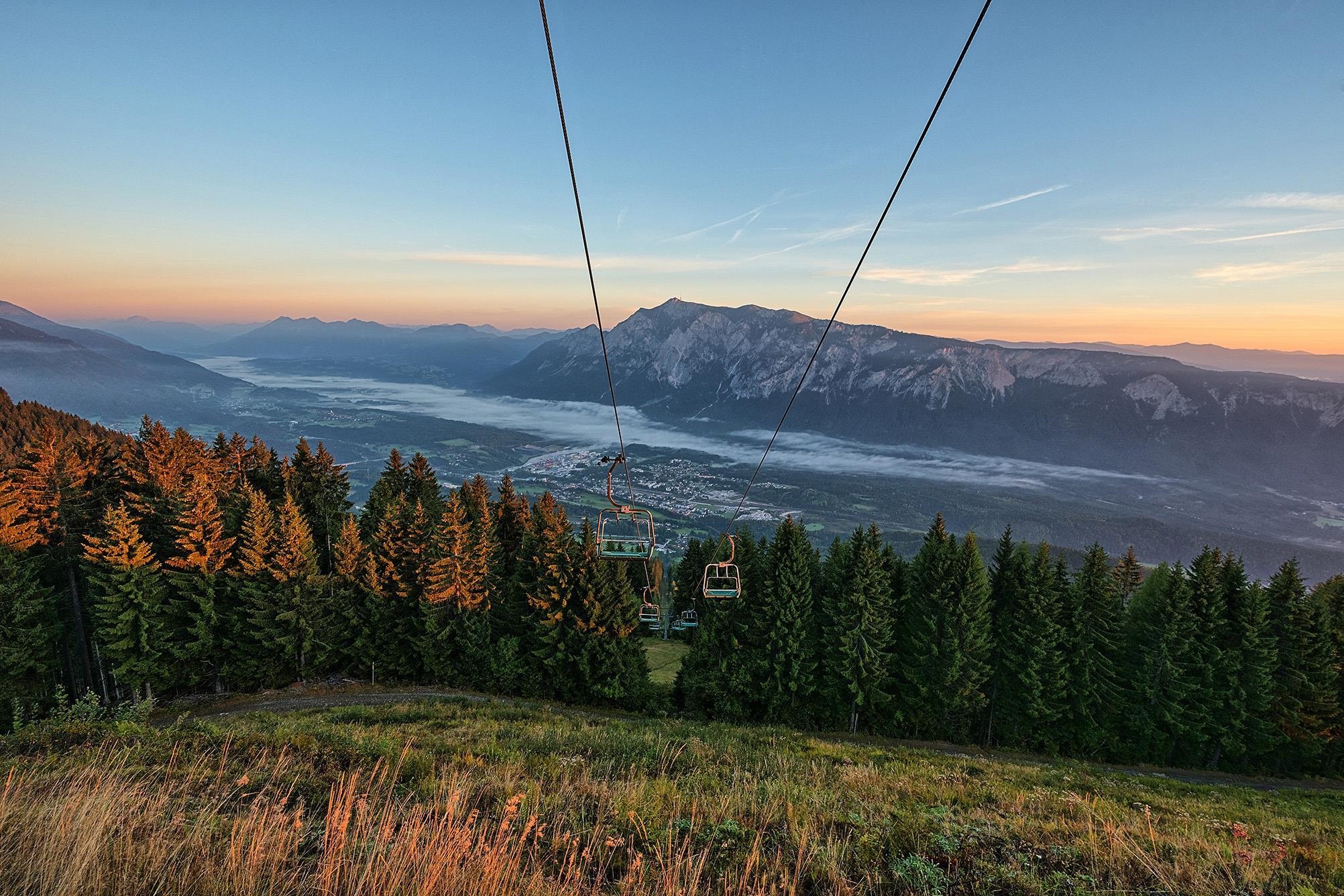
 Cable car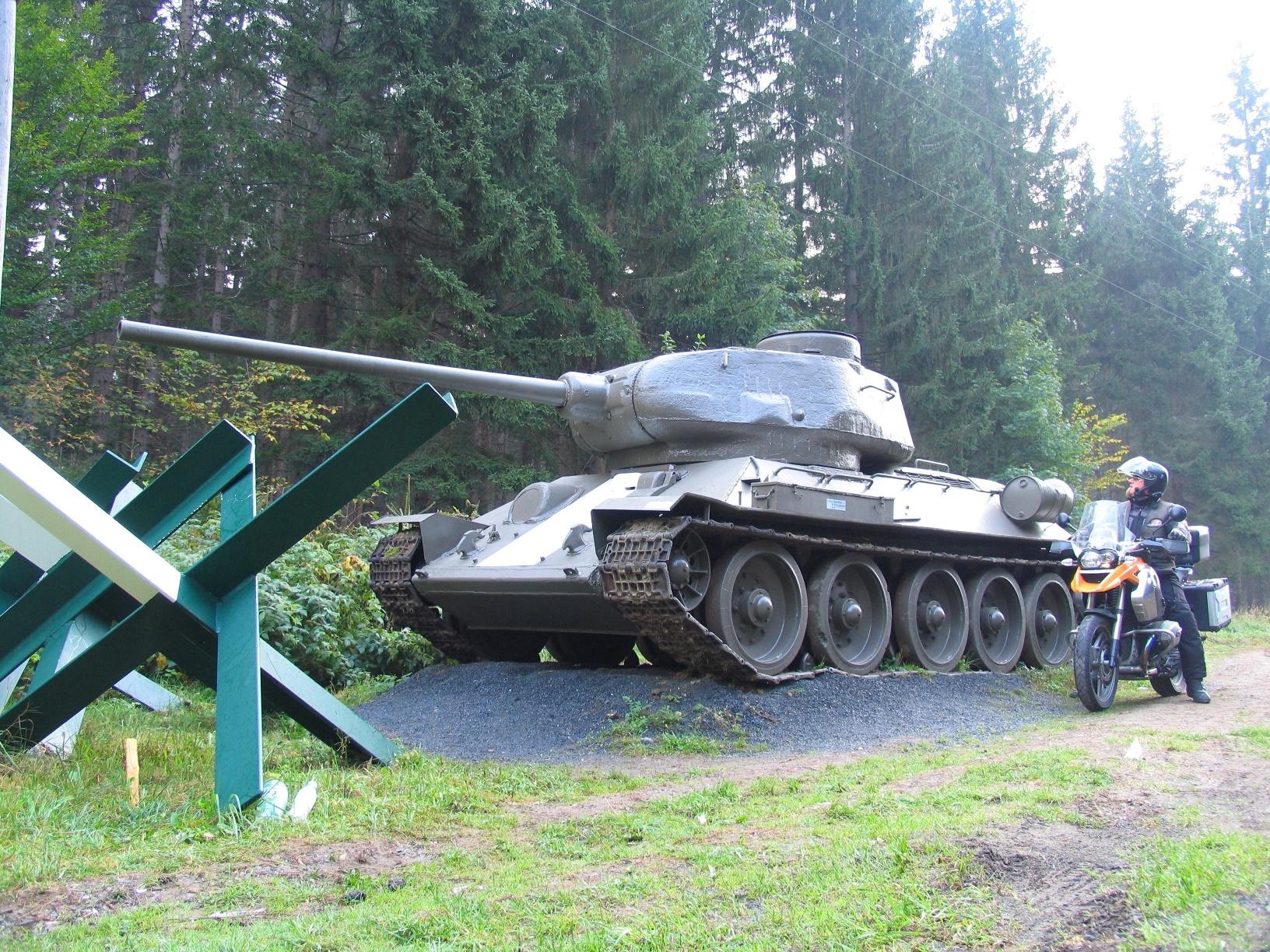
 Historic site
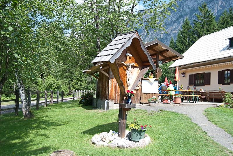
 Mountain hut








Curated by Villach Tourismus
Arnoldstein
Border community in the lower Gailtal at the Dreiländereck of Austria, Italy and Slovenia, its hill crowned by the ruined Benedictine monastery above the Gailitz.
- 7Highlights
- 23Routes
- Featured summit · Dreiländereck / Peč / Ofen / Monte Forno
Highlights
8 from neighbouring places
Klosterruine Arnoldstein
The ruin of a medieval Benedictine monastery on a rock above Arnoldstein, a lookout over the meeting point of Austria, Italy and Slovenia.
Bergbahnen Dreiländereck
Lifts at Arnoldstein onto the Dreiländereck, the mountain where Austria, Italy and Slovenia meet, serving a small ski area in winter and walking country in summer.
Bunkermuseum Wurzenpass
A Cold War museum in the preserved Austrian army bunkers on the Wurzenpass road near Arnoldstein, with original fortifications built to guard the border crossing.
Greißlermuseum
A small museum near Arnoldstein recreating an old-fashioned Austrian village grocery, with original shop fittings, wares and craft displays.
Almwirtschaft Schütt
An alpine pasture snack station in the Schütt area near Arnoldstein, on the rocky southern flank of the Dobratsch above the Gail valley.
Buschenschank Trabiner
A farm tavern and snack station at Riegersdorf near Arnoldstein, serving cold platters and its own produce in the lower Gail valley.
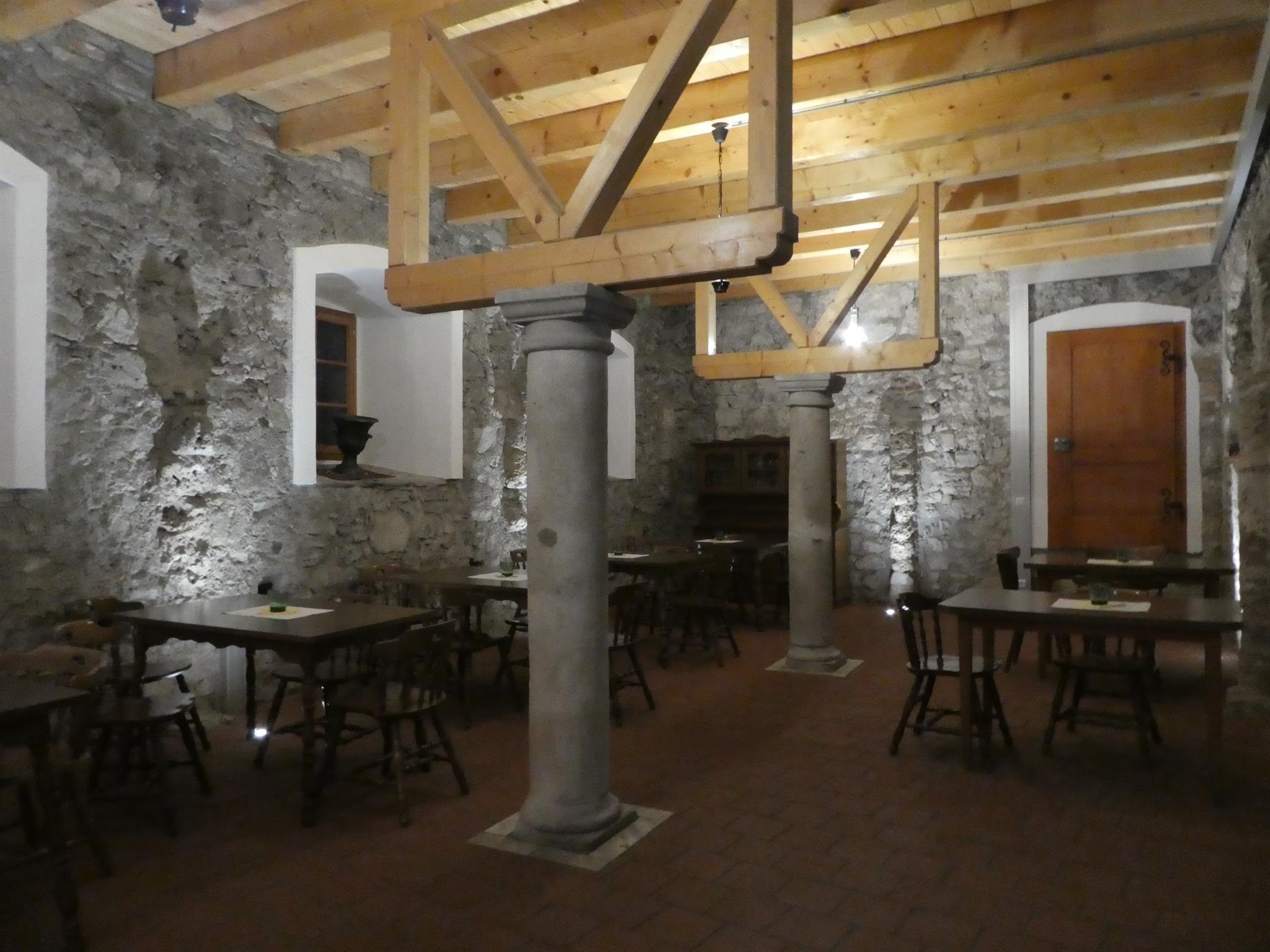
Gasthof Oitzl
A guesthouse at Riegersdorf near Arnoldstein serving traditional Austrian cooking, with produce from its own farm shop.
Die Rosstratten
5.4 km away, in Bad Bleiberg
A pasture restaurant at the Rosstratten on the Dobratsch above Bad Bleiberg, near the top of the Villacher Alpenstraße and a starting point for summit walks.
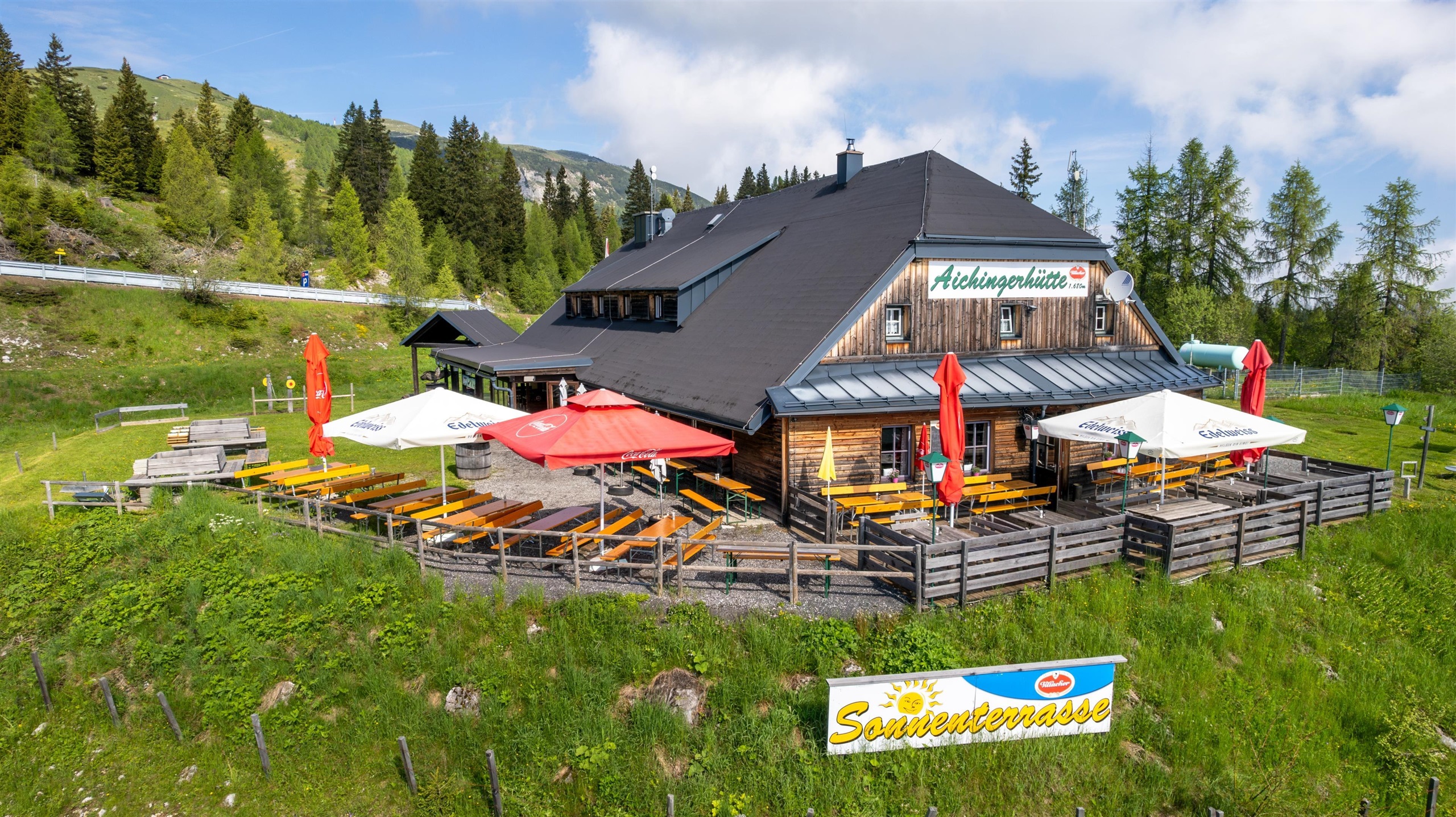
Aichingerhütte
5.6 km away, in Villach
A mountain hut on the Dobratsch above Warmbad Villach, serving Austrian home cooking alongside Thai dishes to walkers on the plateau.
Hundsmarhof
7.6 km away, in Villach
A farm restaurant on the slopes of the Dobratsch above Villach, serving traditional Carinthian home cooking to walkers and families.
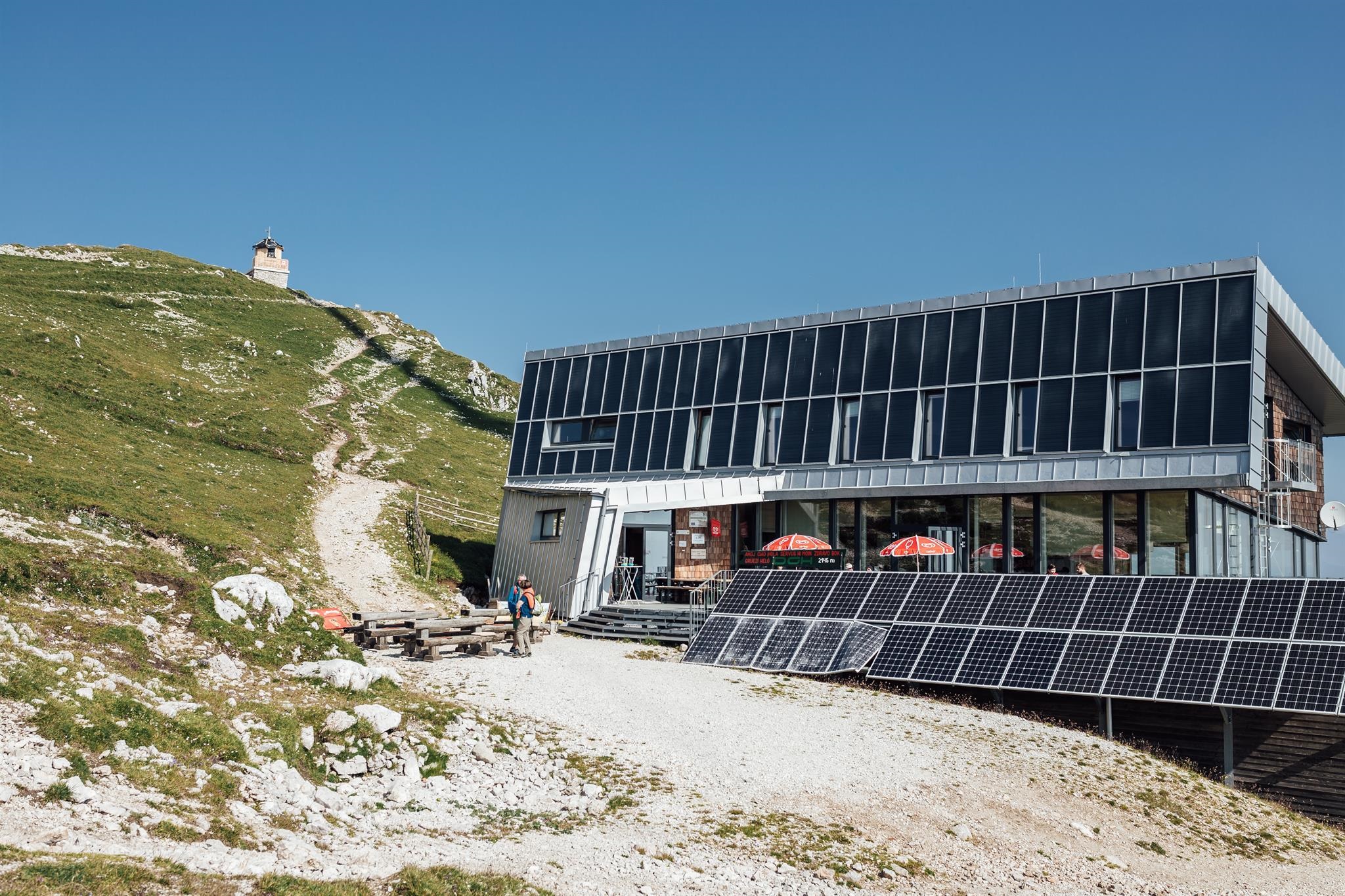
Dobratsch Gipfelhaus
8.3 km away, in Bad Bleiberg
A refuge just below the 2,166 m summit of the Dobratsch, among Austria's oldest alpine huts, reached on foot from the Villacher Alpenstraße.
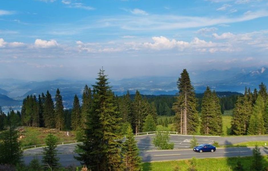
Villacher Alpenstraße
8.5 km away, in Villach
A 16.5 km toll road climbing from Villach onto the Dobratsch, with viewpoints over the Gail valley and trailheads into the Dobratsch Nature Park.
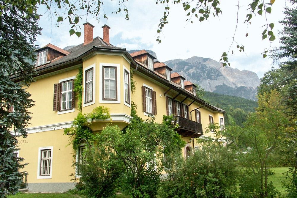
Museum des Nötscher Kreises
9.6 km away, in Nötsch im Gailtal
A museum at Nötsch im Gailtal devoted to the Nötsch Circle, the group of Carinthian painters around Wiegele, Kolig, Boeckl and Mahringer active in the early 20th century.
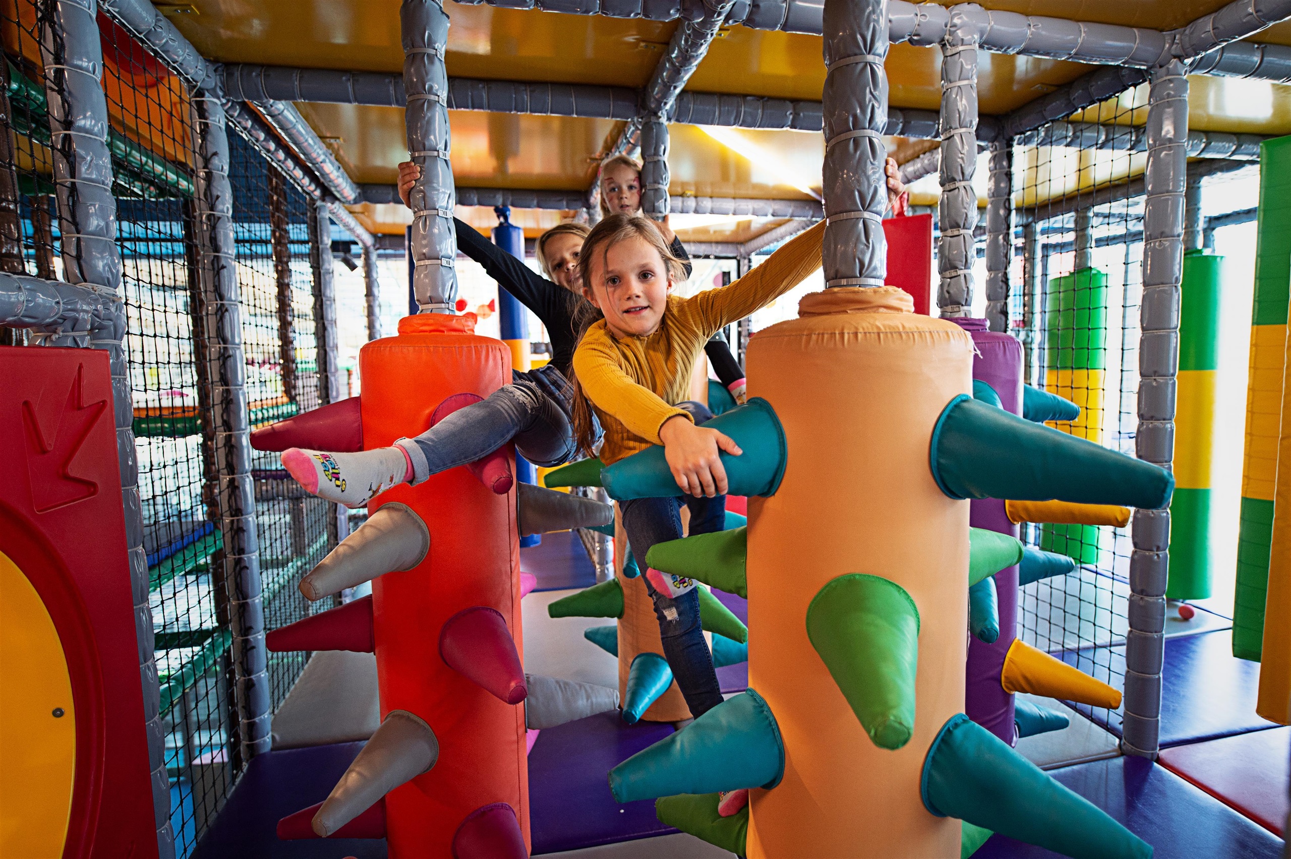
Lollipop - Kärntens größte Spielewelt
9.6 km away, in Villach
A large indoor and outdoor children's play world at Warmbad Villach, with slides, climbing zones and supervised play areas.
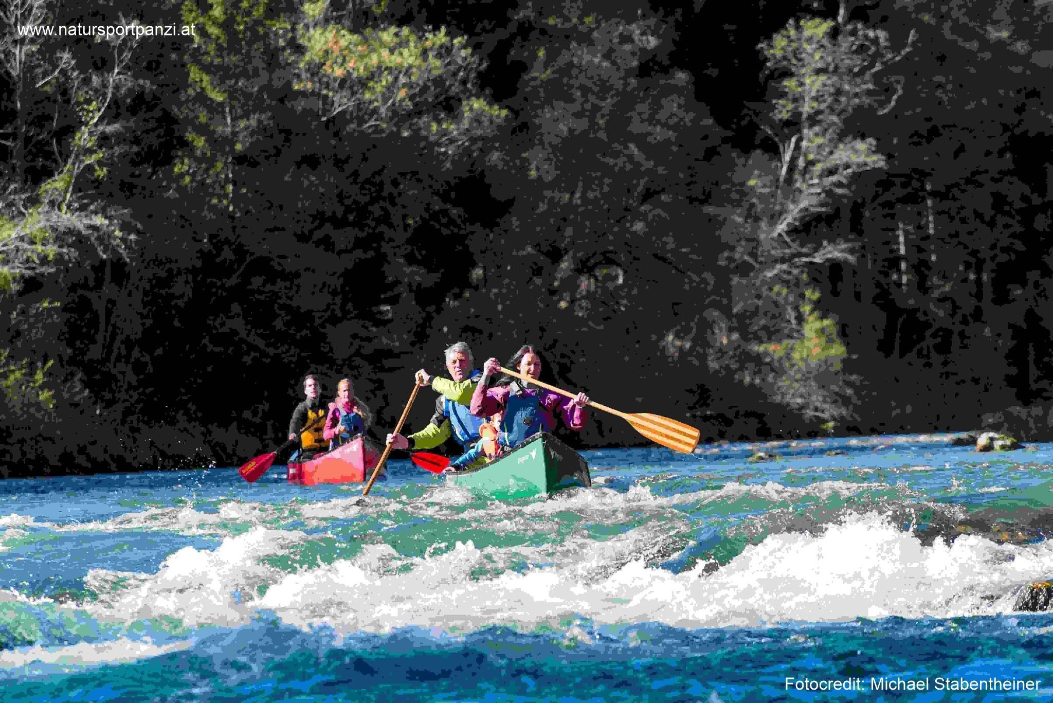
Kanupanzi Jürgen Steinbrenner
9.7 km away, in Nötsch im Gailtal
A canoe and kayak outfitter at Nötsch im Gailtal, offering guided paddling and rafting trips on the Gail river in Carinthia.
Nothing of this kind in Arnoldstein.
Routes
Austria- & Italia-Runde (3)
From the chairlift top station a wide arc crosses into Italy and back to the three-country marker on the Dreiländereck, passing the Bivacco Senza Confini.
- 5.1 km
- Distance
- 222 m
- Ascent
- 1 h 45 min
- Duration
- 75
- Check-ins
Austria-, Slovenia- & Italia-Runde (5)
A moderate round from the top station that touches Austria, Slovenia and Italy in turn before reaching the three-country marker on the Dreiländereck.
- 6.9 km
- Distance
- 350 m
- Ascent
- 2 h 34 min
- Duration
- 75
- Check-ins
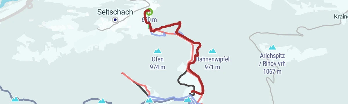
GRENZgenial - GRENZgänger
A themed border route climbing more than 900 m from the valley past the Seltschacher pastures to the point where Austria, Italy and Slovenia meet.
- 7.0 km
- Distance
- 892 m
- Ascent
- 3 h 50 min
- Duration
- 76
- Check-ins
Seltschacher Alm
An easy ski tour with under 200 m of climbing to the pastures below the Dreiländereck, passing the Liftwarthütte and the mountain restaurant.
- 4.0 km
- Distance
- 764 m
- Ascent
- 0 m
- Descent
- 2 h 7 min
- Duration
- 12
- Check-ins
Ö-Tour Feeling
A long, climbing loop from the lakeside up to the huts at around 1,700 m, linking the Aichingerhütte, Pogöriacher Hütte and Rosstrattenstüberl.
- 62.7 km
- Distance
- 1 566 m
- Ascent
- 7 h 2 min
- Duration
- 29
- Check-ins
Direttissima (2)
A broad, gentle 2 km circuit around the top station of the Dreiländereck chairlift, with views in every direction and a hut for a stop.
- 2.1 km
- Distance
- 135 m
- Ascent
- 55 min
- Duration
- 72
- Check-ins
Drei-Länder-Wanderung
A 10 km walk across the corner where Austria, Italy and Slovenia meet, taking in the Taubenkogel and the Bivacco Senza Confini.
- 10.1 km
- Distance
- 490 m
- Ascent
- 3 h 38 min
- Duration
- 75
- Check-ins
Dobratsch Runde - Der Weg um den Naturpark - Etappe 04
The fourth stage of the Dobratsch circuit, climbing nearly 1,000 m to the Dreiländereck and Monte Comizza before dropping back toward Arnoldstein.
- 16.5 km
- Distance
- 971 m
- Ascent
- 6 h 54 min
- Duration
- 75
- Check-ins
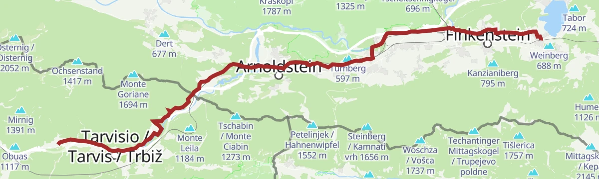
Radbus Tour von Tarvis zum Ossiacher See
A flat run from Tarvisio across to the Ossiacher See, past the Kanzelbahn at Annenheim.
- 42.8 km
- Distance
- 163 m
- Ascent
- 4 h 3 min
- Duration
- 13
- Check-ins
Dobratsch - Skywalk Rote Wand
A few hundred metres from car park 6 to a barrier-free platform that cantilevers seven metres out over the Rote Wand at about 1,480 m.
- 607 m
- Distance
- 0 m
- Ascent
- 9 min
- Duration
Austria- & Slovenia-Runde (4)
From the top station the route swings through Slovenia, then follows a zigzag forest path along the Slovene-Italian border to the Dreiländereck.
- 5.4 km
- Distance
- 335 m
- Ascent
- 2 h 19 min
- Duration
- 72
- Check-ins
Dobratsch Runde - Der Weg um den Naturpark - Etappe 05
The closing stage of the Dobratsch circuit, a long and mostly level 21 km back to the thermal spa at Warmbad Villach.
- 20.7 km
- Distance
- 292 m
- Ascent
- 5 h 38 min
- Duration
- 3
- Check-ins
ROSA 200 - Kurzdistanz
A long mountain-bike tour from the Faaker See west past Arnoldstein and over into Friuli, taking in the Wallner Alm and the Gruber lakeside campsite.
- 75.7 km
- Distance
- 523 m
- Ascent
- 7 h 12 min
- Duration
- 10
- Check-ins
Kulturwanderweg Arnoldstein
A 12 km cultural round through Arnoldstein that strings together the market town's monuments, including the parish precinct at Thörl-Maglern.
- 12.3 km
- Distance
- 205 m
- Ascent
- 3 h 24 min
- Duration
- 1
- Check-ins
Alpengarten Dobratsch
Nearly 1,000 m of climbing through the Schütt woods and open meadows to the alpine garden on the Dobratsch and the skywalk, with the Othmarhütte on the way.
- 13.9 km
- Distance
- 969 m
- Ascent
- 6 h 27 min
- Duration
- 1
- Check-ins
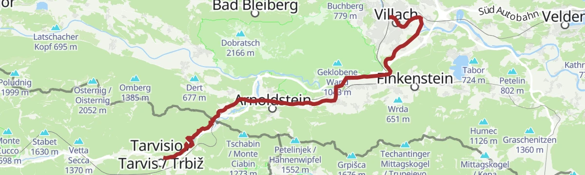
Ciclovia Alpe-Adria Radweg 5. Etappe: Villach-Tarvis
A long forest-road and cycle-track ride from Villach down the Gail valley to Arnoldstein and on towards the Italian border.
- 37.0 km
- Distance
- 299 m
- Ascent
- 3 h 28 min
- Duration
- 8
- Check-ins
Bergsturzgebiet Schütt
A short and nearly flat walk through the Schütt, the jumbled rockfall landscape below the south side of the Dobratsch.
- 7.7 km
- Distance
- 26 m
- Ascent
- 1 h 51 min
- Duration
Steinberg
A long day of 17 km and over 1,100 m of ascent to the Kamnati vrh, with the old customs hut on the ridge and a Buschenschank for the way down.
- 16.8 km
- Distance
- 1 154 m
- Ascent
- 7 h 43 min
- Duration
- 1
- Check-ins
Rund um den Dobratsch (optional mit Bike Shuttle)
A long circuit right around the Dobratsch from Bad Bleiberg, dropping to Villach and returning along the Gail valley floor.
- 64.9 km
- Distance
- 597 m
- Ascent
- 6 h 19 min
- Duration
- 7
- Check-ins
Weg des Buches, 13. Etappe: Warmbad Villach - Agoritschach/Arnoldstein
The thirteenth day of the Weg des Buches long-distance trail, running from Warmbad Villach west to Agoritschach near Arnoldstein in about four and a half hours.
- 17.3 km
- Distance
- 328 m
- Ascent
- 4 h 43 min
- Duration
Radbus Tour von Hermagor zum Ossiacher See
An almost flat run of 60 km through the Gailtal, from the Pressegger See past Emmersdorf and St. Stefan-Vorderberg to the lakeshore at Annenheim.
- 60.1 km
- Distance
- 60 m
- Ascent
- 5 h 25 min
- Duration
- 4
- Check-ins
Radbus Tour von Tarvis zum Faaker See
A near-level run from Tarvisio down the Gail valley to the Faaker See, reached by the cycle bus.
- 37.4 km
- Distance
- 160 m
- Ascent
- 3 h 33 min
- Duration
- 4
- Check-ins
Dobratsch Rundfahrt
A long, mostly gentle circuit of the mountain west of Villach, starting from the main station and coming back through the Gail valley.
- 56.4 km
- Distance
- 593 m
- Ascent
- 5 h 34 min
- Duration
No routes of this kind in Arnoldstein yet.
The region's own picks
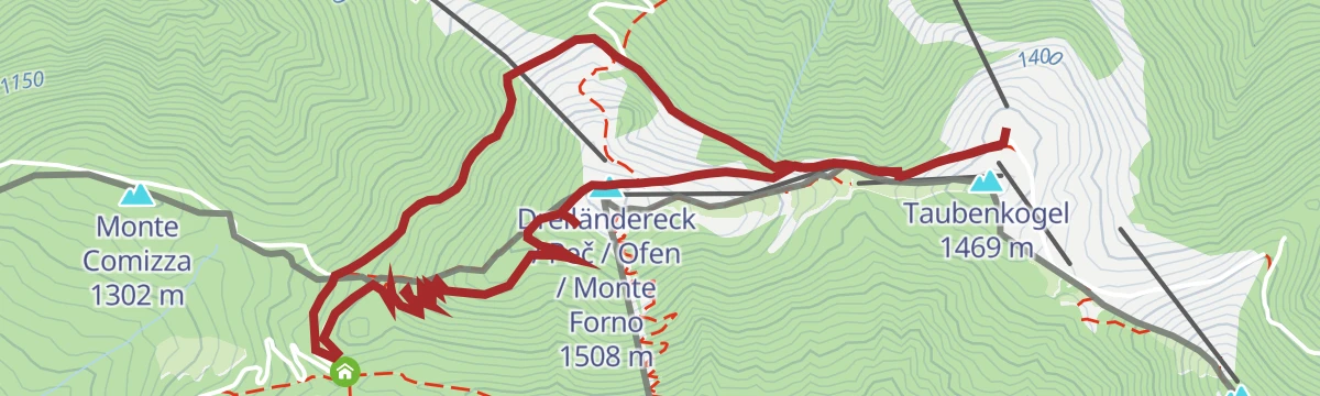
Featured route
Austria- & Italia-Runde (3)
From the chairlift top station a wide arc crosses into Italy and back to the three-country marker on the Dreiländereck, passing the Bivacco Senza Confini.
Planning a trip to Arnoldstein?
Everything else Carinthia has, in one place


Take Arnoldstein with you into the mountains
Every route on this page with 3D terrain, GPX navigation and offline maps — including the valleys with no signal.
Data sources
- Official website: visitvillach.at ↗
- Routes and highlights: Villach Tourismus
- Published as open data by the tourist boards named above.
- Region summary generated from the board's own material.
