
Curated by 360alpenland
Ardning
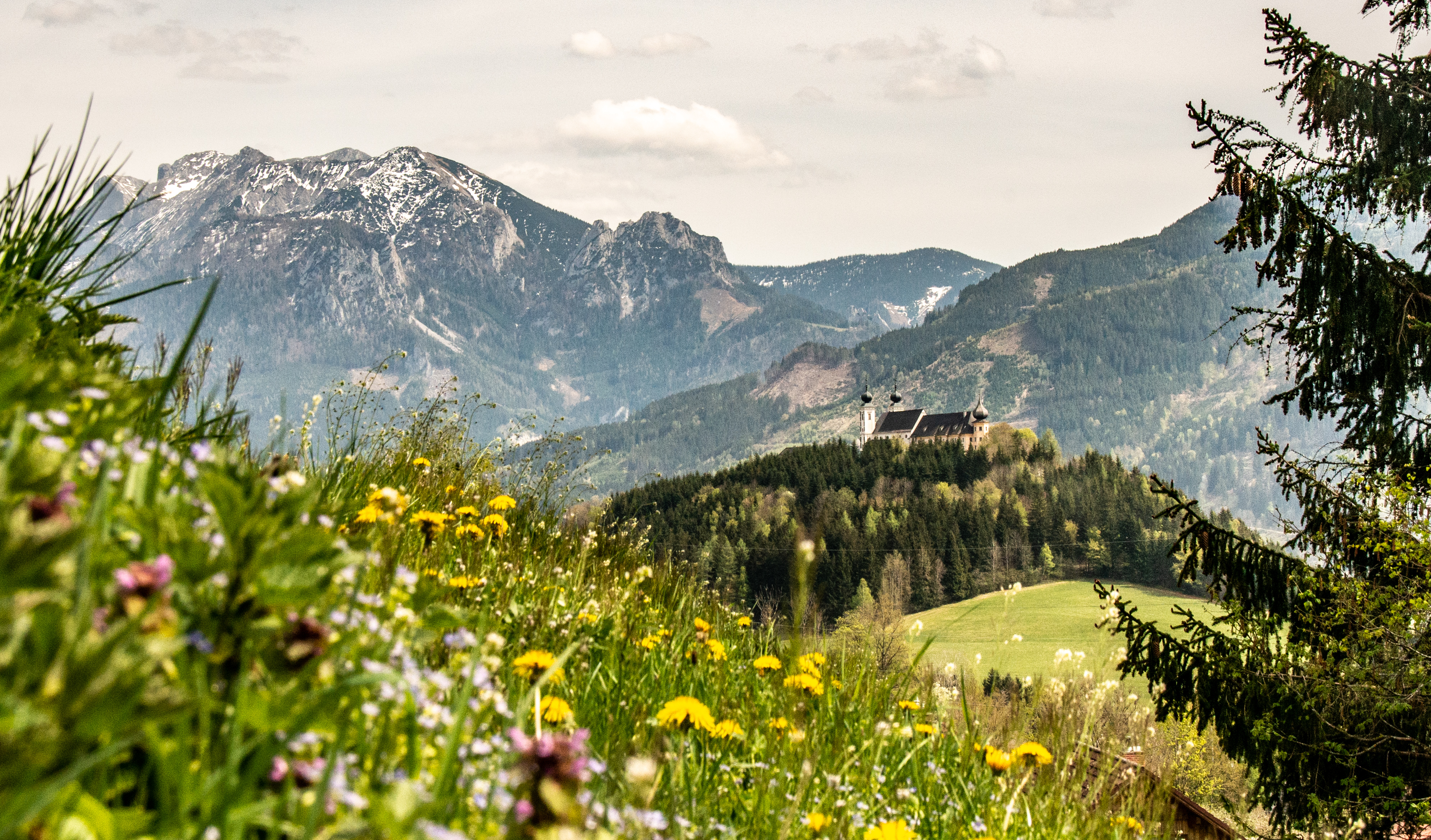
Between Liezen and the mouth of the Gesäuse at the foot of the Bosruck, with the pilgrimage church of Frauenberg on its wooded hill above the Enns.
- 2Highlights
- 8Routes
Highlights
13 from neighbouring places
Pürgschachen Moor
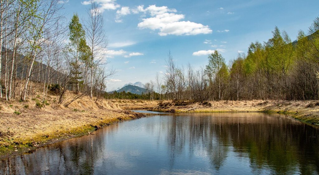
One of Austria's best-preserved raised bogs, lying on the Enns valley floor at Ardning and crossed by a boardwalk.
Naturbadesee Frauenberg
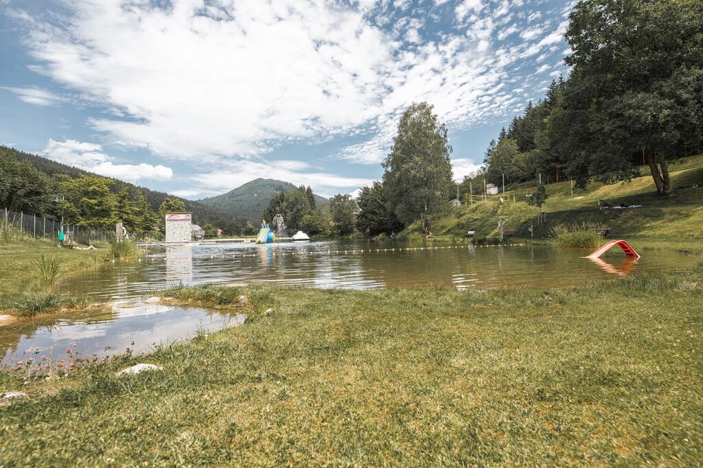
A natural swimming lake below the Frauenberg near Ardning, on the floor of the Enns valley in Styria.
Kaffeekannen Museum
6.6 km away, in Spital am Pyhrn
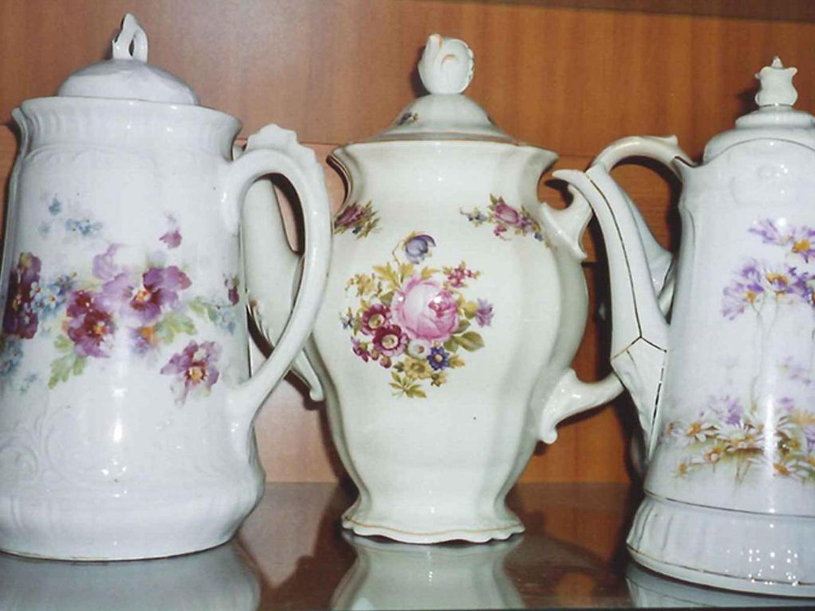
A private museum in Spital am Pyhrn holding some 2,000 coffee pots collected from around the world.
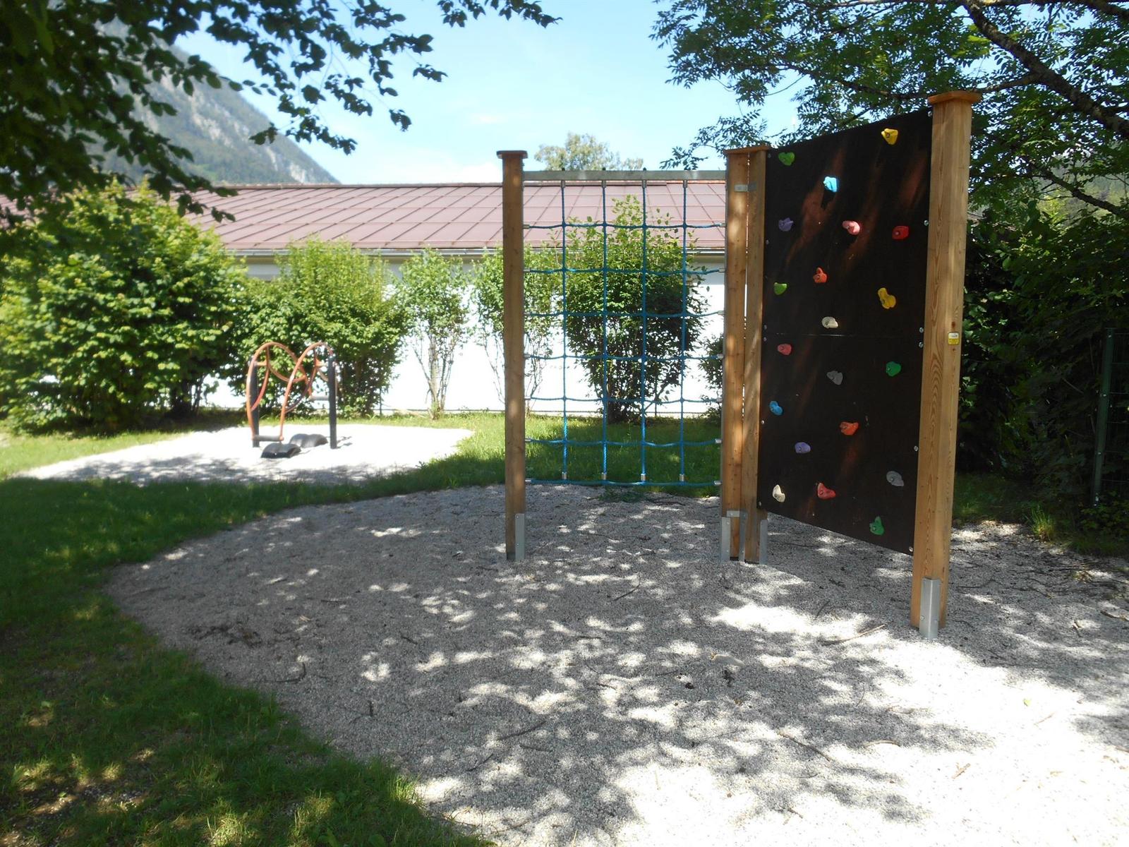
Öffentlicher Spielplatz Spital am Pyhrn
7 km away, in Spital am Pyhrn
A public playground by the primary school in Spital am Pyhrn.
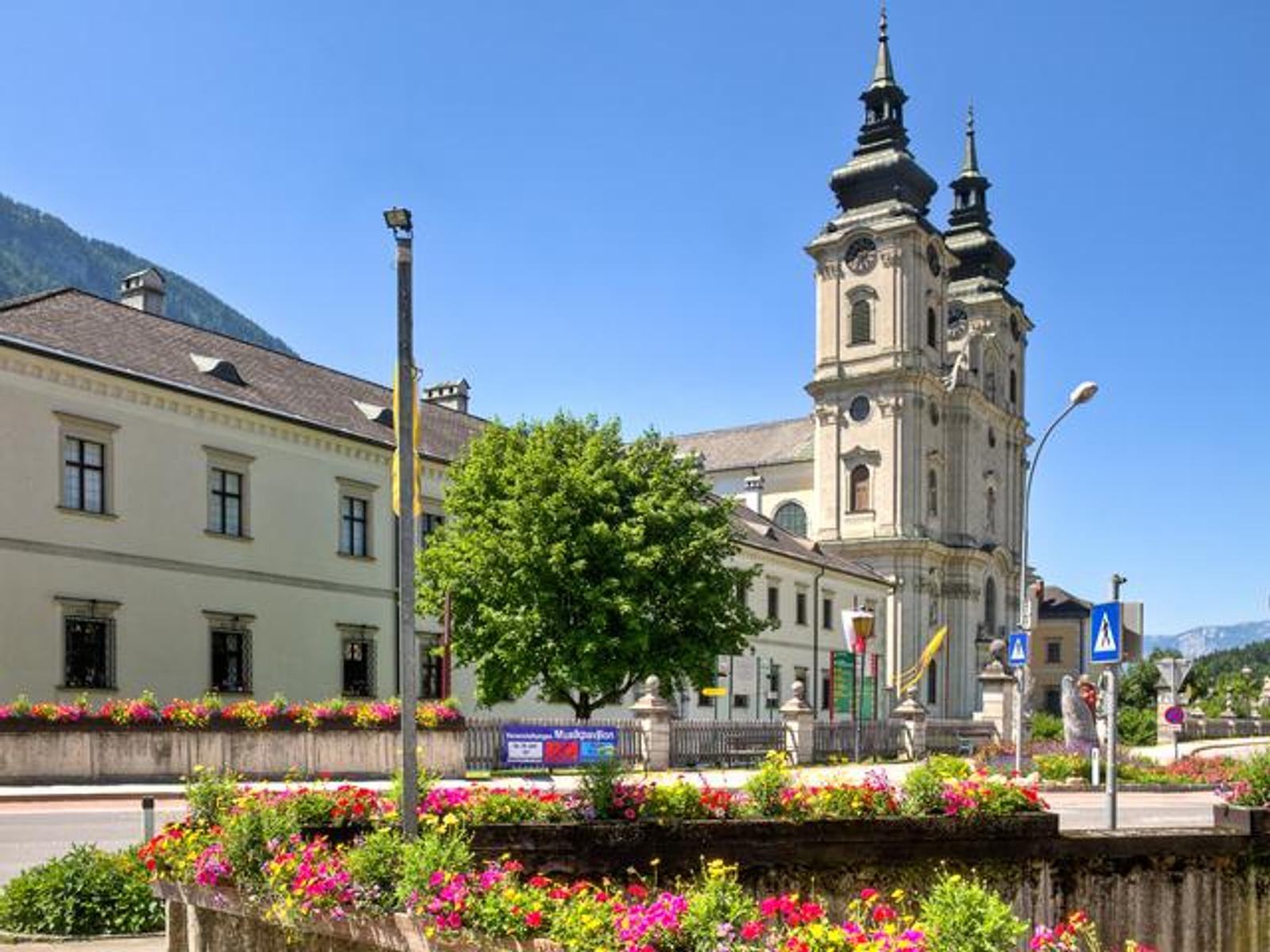
Stiftskirche "Dom am Pyhrn" Spital am Pyhrn
7.1 km away, in Spital am Pyhrn
The collegiate church of Spital am Pyhrn, known as the Dom am Pyhrn, at the centre of the village.
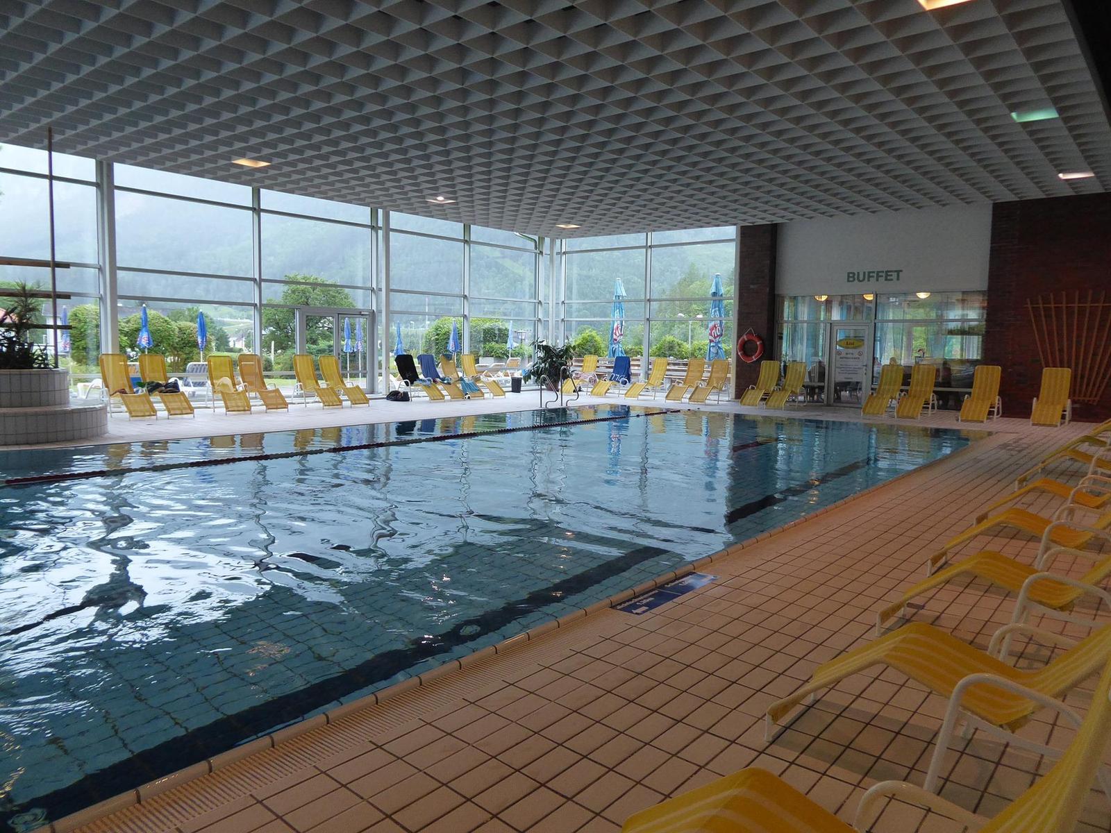
Panorama-Hallenbad in Spital am Pyhrn
7.3 km away, in Spital am Pyhrn
An indoor pool in Spital am Pyhrn with a view of the surrounding mountains, and a lawn for the summer.
Bergrestaurant Wurzeralm
7.5 km away, in Spital am Pyhrn
A mountain restaurant at the top station of the Wurzeralm funicular, with a large sun terrace.
ÖAV-Berggasthaus Linzerhaus
7.7 km away, in Spital am Pyhrn
The Linzerhaus of the Austrian Alpine Club at 1,400 m on the Wurzeralm, a base for walks in the Warscheneck group.
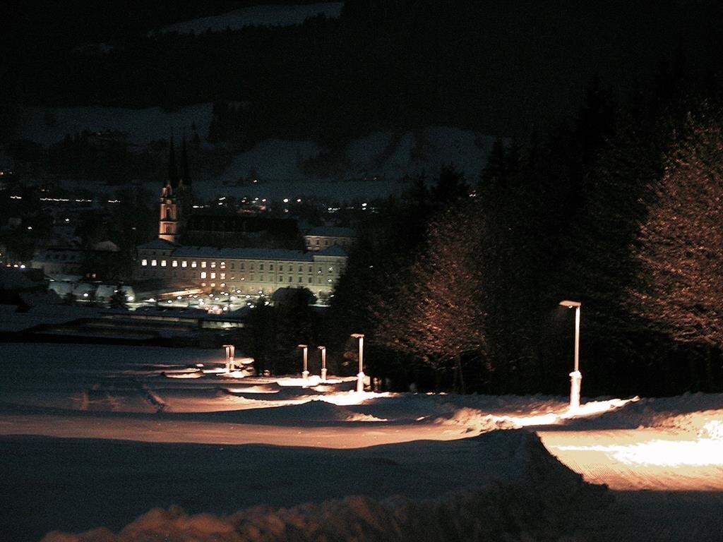
Bibliothek & Museum Stift Admont
7.9 km away, in Admont
The library of Admont Abbey, the largest monastic library in the world, shown together with the abbey museum.
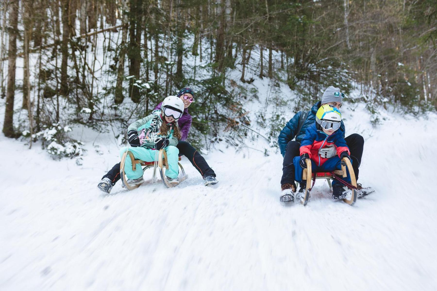
Bichlbacher Rodelbahn
8.7 km away, in Admont
A toboggan run in the Admont area of the Enns valley, sledged in winter below the Gesäuse mountains.
Naturrodelbahn Zottensberg
11.3 km away, in Spital am Pyhrn
A natural toboggan run at Zottensberg above Spital am Pyhrn.
Berggasthof Zottensberg
11.3 km away, in Spital am Pyhrn
A mountain inn at Zottensberg above Spital am Pyhrn, serving home cooking and à la carte dishes.
Lahn Alm
13.4 km away, in Admont
An alpine pasture inn on the slopes north of Admont in the Styrian Enns valley.
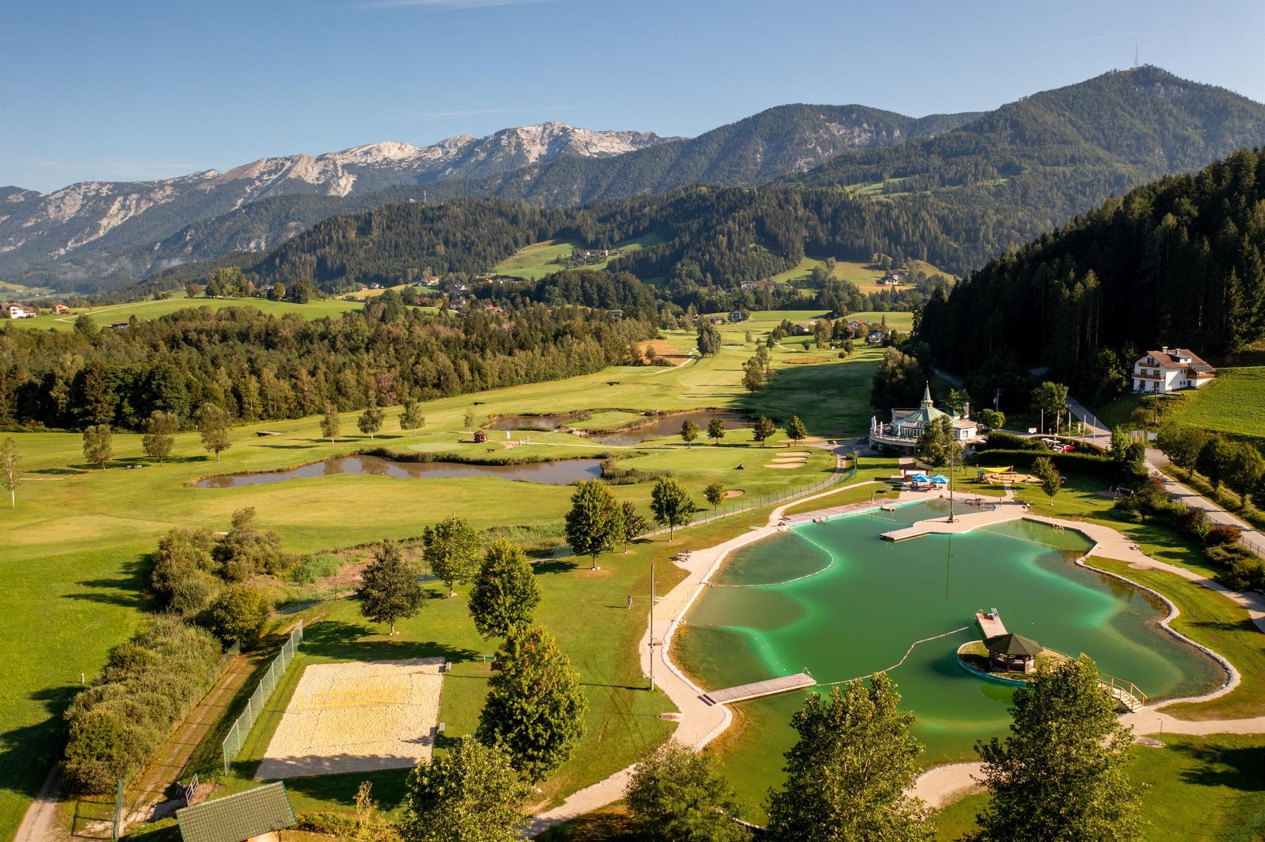
Badesee Edlbach
11.3 km away, in Edlbach
A bathing lake at Edlbach beside the golf course, inside the Edlbacher Moor nature reserve.
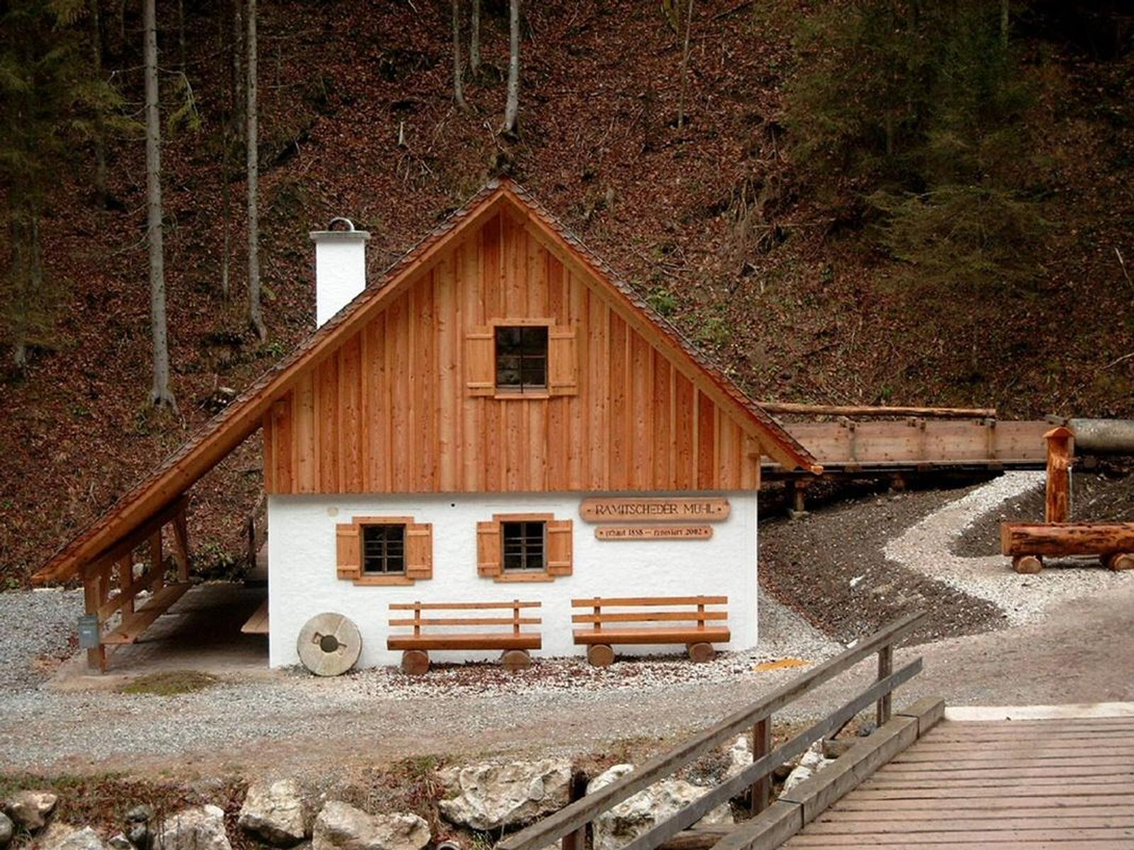
Ramitscheder Mühle
11.4 km away, in Edlbach
A mill at Edlbach on the road from Windischgarsten towards Rosenau am Hengstpass.
 Viewpoint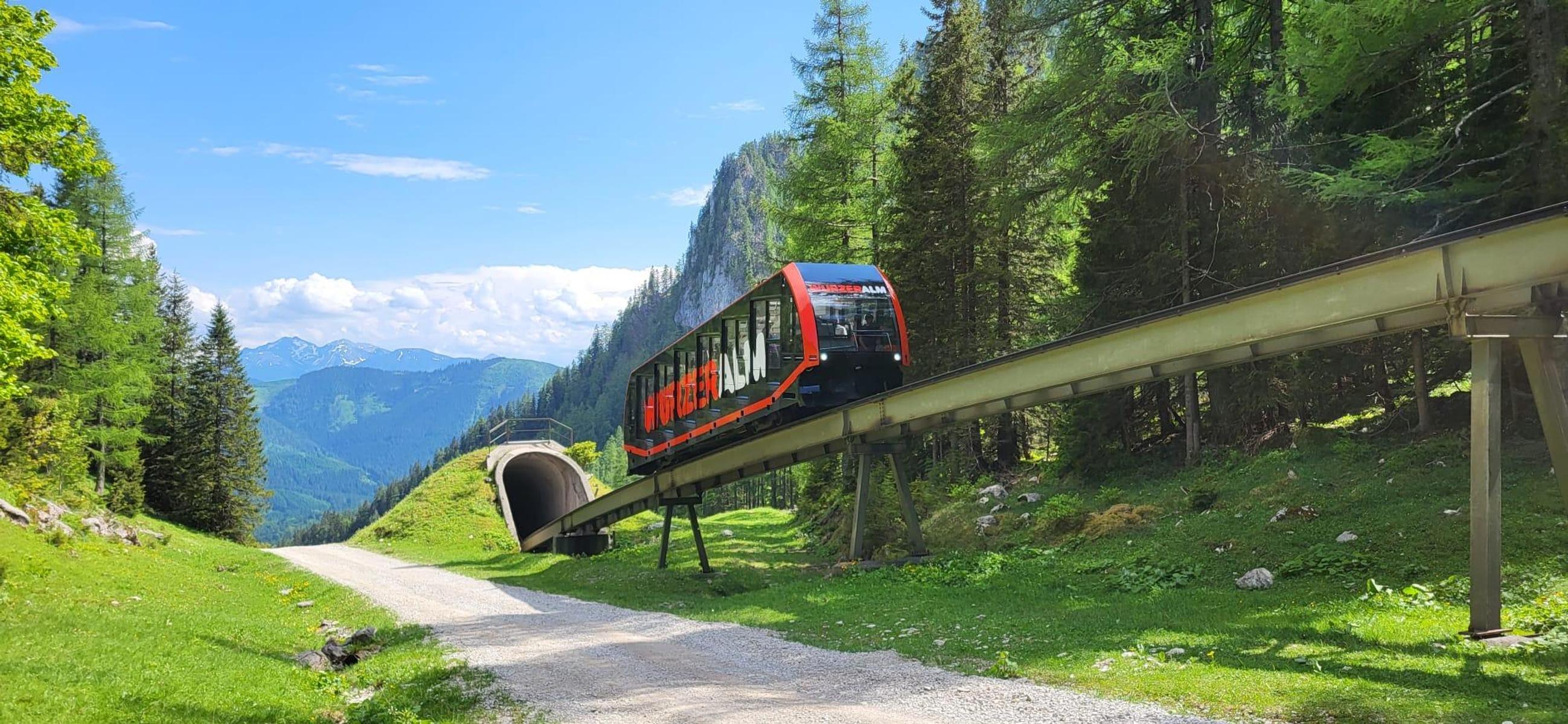
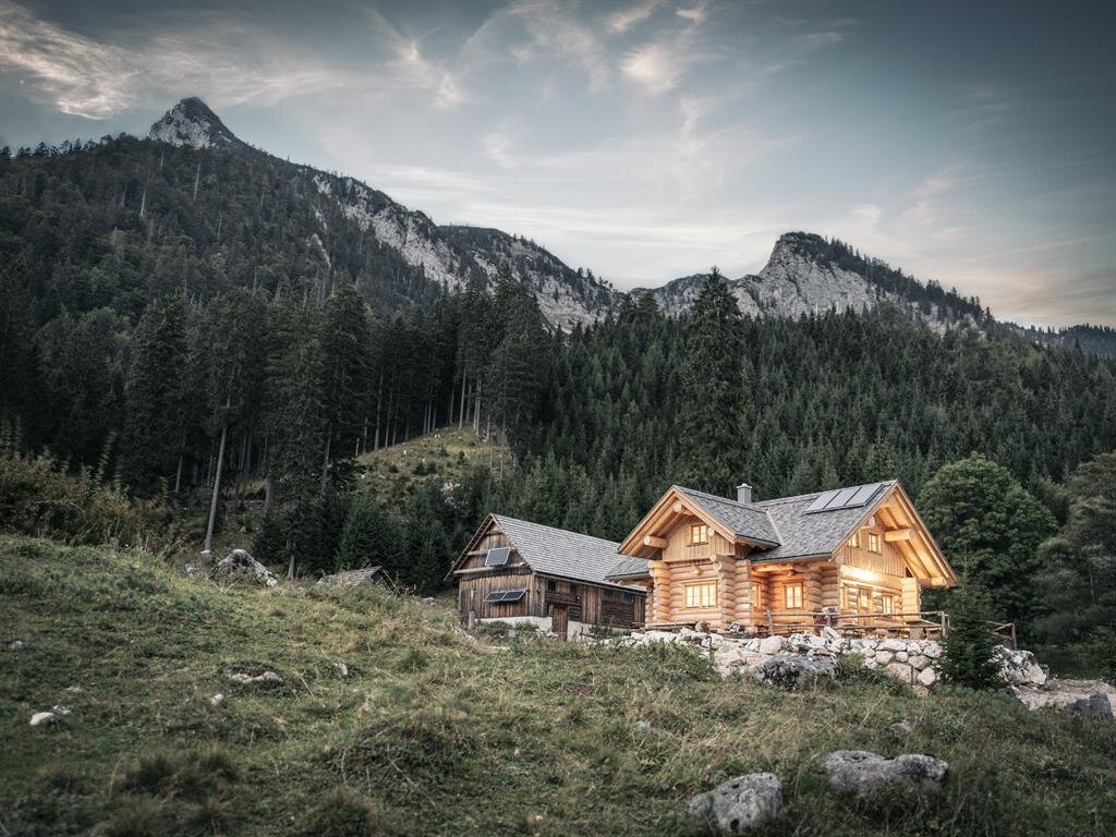
 Mountain hut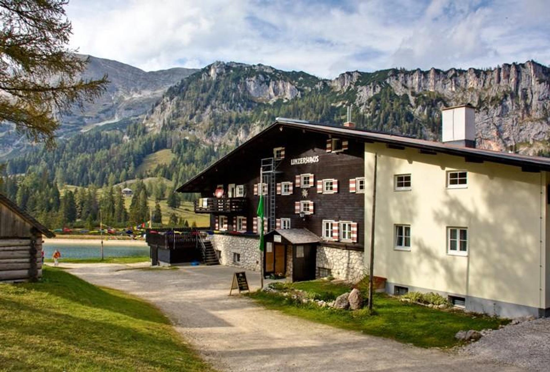

Nothing of this kind in Ardning.
Routes
12 from neighbouring places
Wildfrauenklettersteig auf den Bosruck (B/C)
A via ferrata on the rock of the Bosruck above Spital am Pyhrn, at a moderate grade for anyone already used to cable-protected ground.
- 3.7 km
- Distance
- 580 m
- Ascent
- 4 h 8 min
- Duration
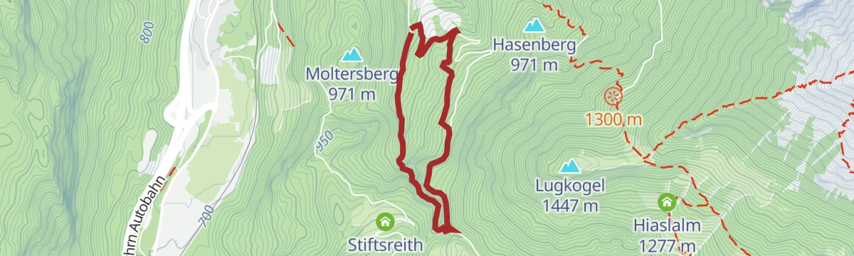
Alter Wallfahrtsweg
An old pilgrimage route from the exit of the Dr. Vogelgesang-Klamm over the Arlingsattel and down into Styria to Ardning.
- 11.0 km
- Distance
- 562 m
- Ascent
- 4 h 33 min
- Duration
Bosruck
A demanding climb to a summit cross set right on the Upper Austrian and Styrian border, on rocky ridges that call for sure footing and a head for heights.
- 5.2 km
- Distance
- 1 058 m
- Ascent
- 3 h 59 min
- Duration
Skitour Karleck Nordhang (Tourengebiet Haller Mauern)
A short ski tour from the Bosruckhütte up the north slope of the Karleck, a sheltered line that often keeps good powder.
- 2.2 km
- Distance
- 550 m
- Ascent
- 550 m
- Descent
- 1 h 42 min
- Duration
Ennsradweg Aigen im Ennstal - St. Gallen
A long ride downstream beside the Enns, running through the Gesäuse gorge with barely 600 m of climbing in nearly 80 km.
- 79.0 km
- Distance
- 652 m
- Ascent
- 7 h 37 min
- Duration
- 12
- Check-ins
3 Pässe Rennradtour (RR1)
A hundred-kilometre road tour over the Pyhrnpaß, the Buchauer Sattel and the Hengstpass, looping through Liezen and St. Gallen.
- 98.6 km
- Distance
- 1 895 m
- Ascent
- 10 h 32 min
- Duration
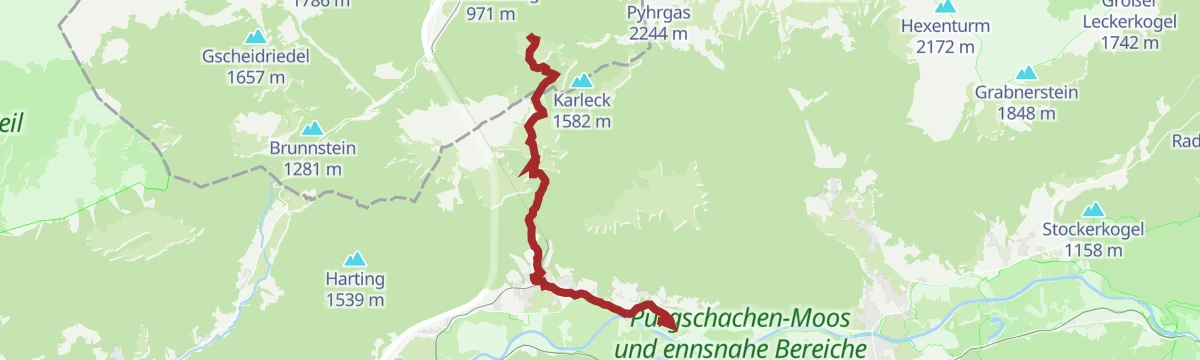
Karleckrunde
A varied circuit from the Bosruckhütte over the Brandtner-Höhe and the Arlingsattel to the Bacheralm, returning by way of the Rohrauerhaus.
- 8.8 km
- Distance
- 562 m
- Ascent
- 3 h 50 min
- Duration
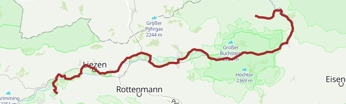
Ennsradweg - 3. Tagesetappe
A flat valley stage beside the Enns, running from Wörschach Schwefelbad through Liezen towards the gates of the Gesäuse.
- 40.5 km
- Distance
- 236 m
- Ascent
- 3 h 49 min
- Duration
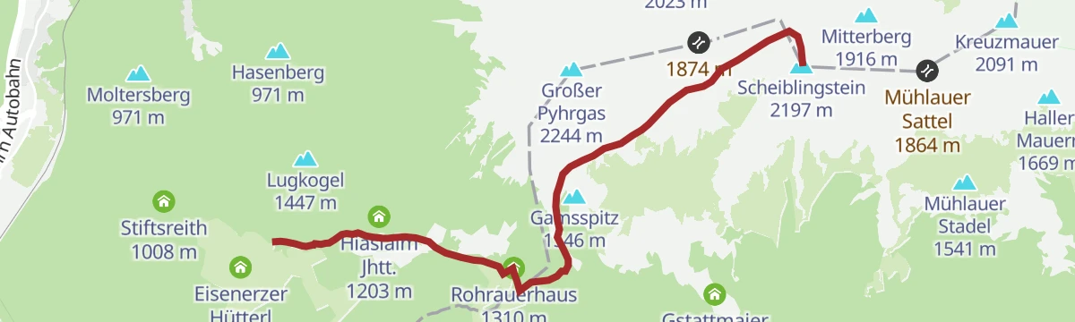
Skitour Scheiblingstein
4 km away, in Spital am Pyhrn
A ski tour in the Haller Mauern, skinning up from the Bosruckhütte by way of the Rohrauerhaus towards a favourite winter summit.
- 6.3 km
- Distance
- 80 m
- Ascent
- 80 m
- Descent
- 1 h 39 min
- Duration
Dr. Vogelgesang-Klamm
5.6 km away, in Spital am Pyhrn
A short but steep walk through the longest gorge in Upper Austria, a wild rock cleft on the edge of Spital am Pyhrn.
- 3.8 km
- Distance
- 261 m
- Ascent
- 1 h 45 min
- Duration
Skitour Rossarsch (Tourengebiet Hintersteineralm)
5.8 km away, in Spital am Pyhrn
A scenic ski tour onto the Rossarsch from the Hintersteineralm, within reach of newcomers, though its length should not be underestimated.
- 8.6 km
- Distance
- 1 244 m
- Ascent
- 1 244 m
- Descent
- 4 h 18 min
- Duration
Spitaler Panorama Mountainbiketour MTB8
7.3 km away, in Spital am Pyhrn
A climb out of Spital am Pyhrn onto the slopes above the village, where the route opens out to long views down the valley.
- 9.0 km
- Distance
- 397 m
- Ascent
- 1 h 10 min
- Duration
Alternative Windischgarsten
7.3 km away, in Spital am Pyhrn
A flat valley link between Windischgarsten and Spital am Pyhrn, tying in with the Nationalpark Kalkalpen route R31.
- 7.0 km
- Distance
- 75 m
- Ascent
- 42 min
- Duration
Singletrail Wurzeralm
7.5 km away, in Spital am Pyhrn
A red-graded descent on singletrack from above 1,400 m down to the valley station of the funicular at Spital am Pyhrn.
- 3.9 km
- Distance
- 0 m
- Ascent
- 37 min
- Duration
Bike & Hike Gowilalm von Oberweng
9.6 km away, in Spital am Pyhrn
An easy ride from Oberweng to the road end above Spital am Pyhrn, then a short walk up to a small alm serving regional food.
- 7.5 km
- Distance
- 220 m
- Ascent
- 52 min
- Duration
Klettersteigpark Bannholzmauer (A/B
14.2 km away, in Windischgarsten
A short via ferrata on the Bannholzmauer, the rock face above Windischgarsten, with several graded lines laid side by side on the wall.
- 863 m
- Distance
- 150 m
- Ascent
- 1 h 3 min
- Duration
Großer Pyhrgas mit Hofalm
3.9 km away, in Spital am Pyhrn
A long and demanding ascent of the Großer Pyhrgas above Spital am Pyhrn, taken by way of the Hofalm and its pastures.
- 10.5 km
- Distance
- 1 239 m
- Ascent
- 7 h 24 min
- Duration
Skitour Arlingsattel (Tourengebiet Haller Mauern)
4.1 km away, in Spital am Pyhrn
A short ski tour up to the Arlingsattel in the Haller Mauern, on the boundary between Upper Austria and Styria.
- 1.9 km
- Distance
- 387 m
- Ascent
- 387 m
- Descent
- 1 h 15 min
- Duration
Rohrauerhaus Mountainbiketour MTB9
7.3 km away, in Spital am Pyhrn
A short but demanding climb on part of the Spitaler Panoramatour above Spital am Pyhrn, with one red-graded singletrack stretch.
- 17.9 km
- Distance
- 851 m
- Ascent
- 2 h 24 min
- Duration
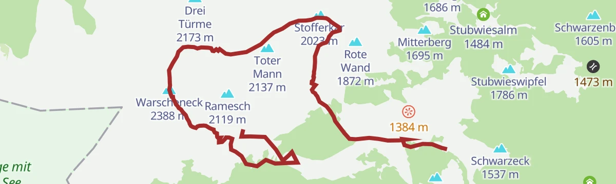
Warscheneck Südostgrat (Klettersteig)
9.8 km away, in Spital am Pyhrn
A via ferrata round on the south-east ridge of the Warscheneck, with the descent over the Toter Mann and past the Brunnsteinersee.
- 10.9 km
- Distance
- 815 m
- Ascent
- 7 h 56 min
- Duration








No routes of this kind in Ardning yet.
Planning a trip to Ardning?
Everything else Styria has, in one place


Take Ardning with you into the mountains
Every route on this page with 3D terrain, GPX navigation and offline maps — including the valleys with no signal.
Data sources
- Official website: steiermark.com ↗
- Routes and highlights: 360alpenland, Steiermark, Salzburger Sportwelt, Schladming-Dachstein Tourismus
- Published as open data by the tourist boards named above.
- Region summary generated from the board's own material.
