
Curated by Val Seriana
Ardesio
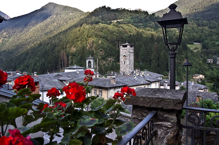
An upper Val Seriana village at the mouth of the Valcanale, below the Presolana and the Orobie ridge.
- 8Highlights
- 7Routes
Highlights
7 from neighbouring places
MEtA Museo Etnografico Alta Valle Seriana
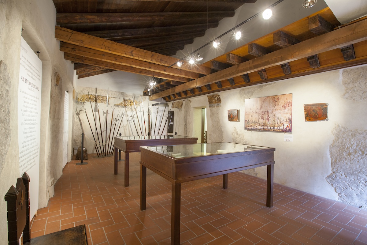
The ethnographic museum of the upper Val Seriana at Ardesio, in three sections on land, work and belief.
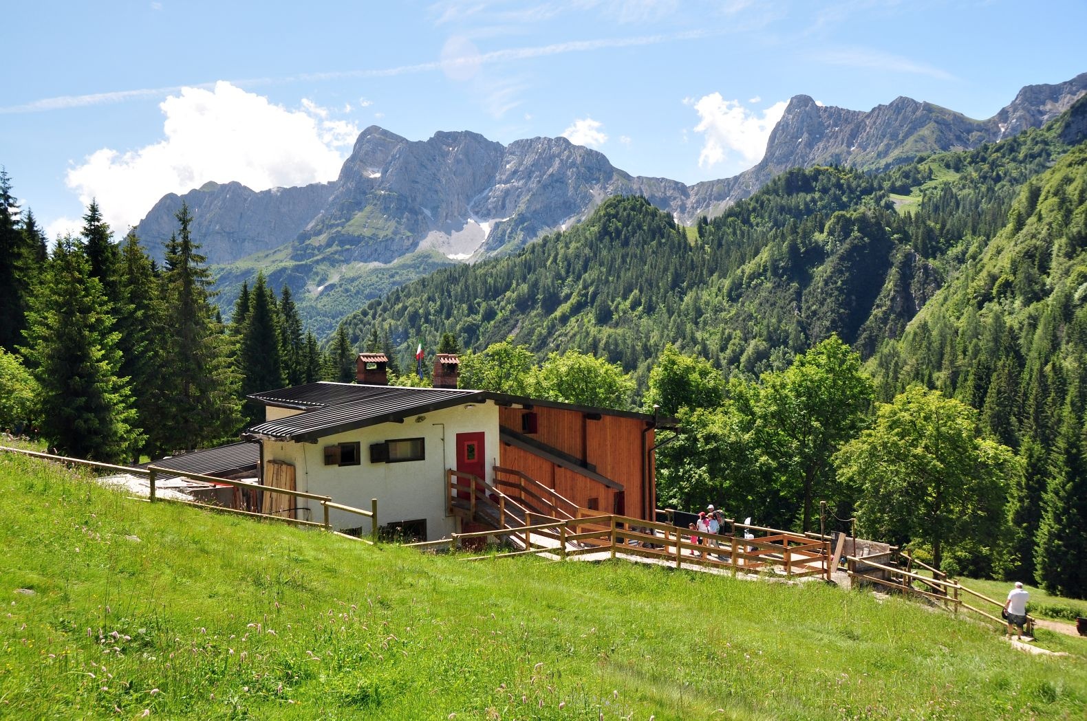
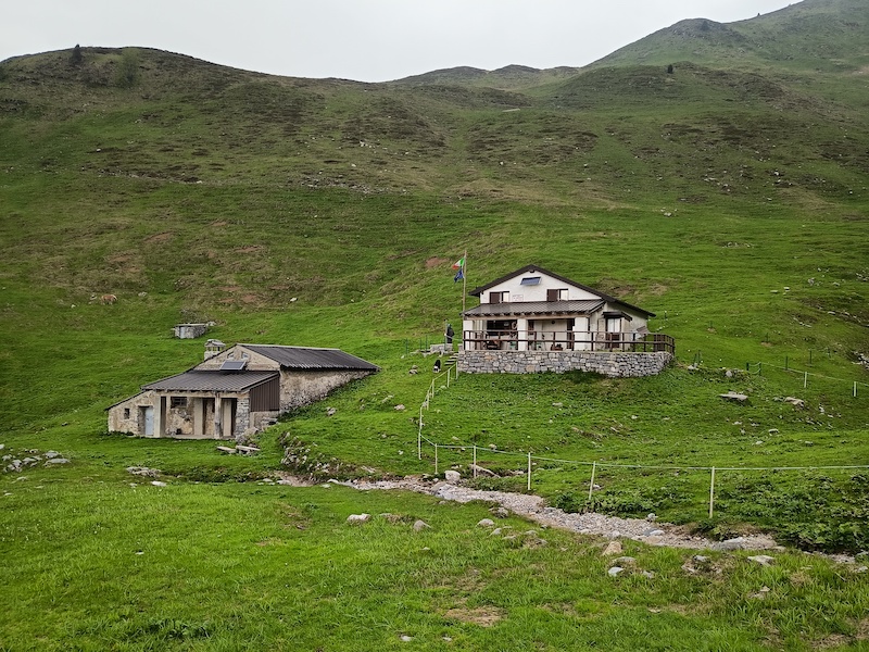
Schutzhütte Alpe Corte Bassa
A hut on the Alpe Corte Bassa pasture above Ardesio, at the mouth of the Valcanale.
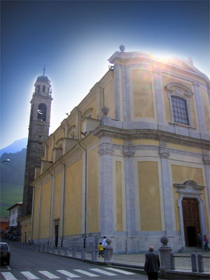
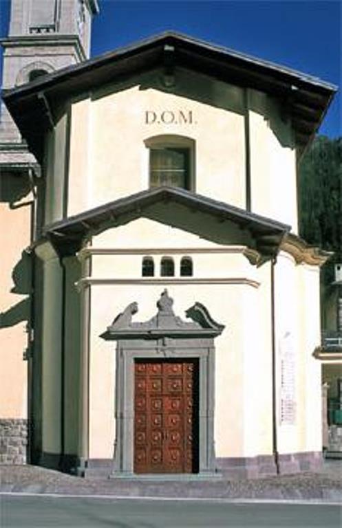
Chiesa Parrocchiale San Giovanni Battista
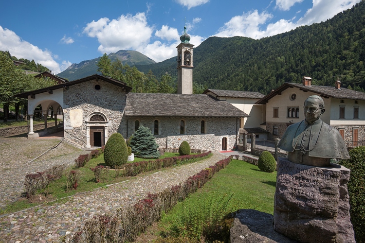
The parish church of San Giovanni Battista in the Ardesio hamlets of the upper Val Seriana.
Chiesa Parrocchiale di San Giorgio
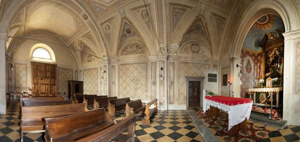
The parish church of San Giorgio at Ardesio in the upper Val Seriana.
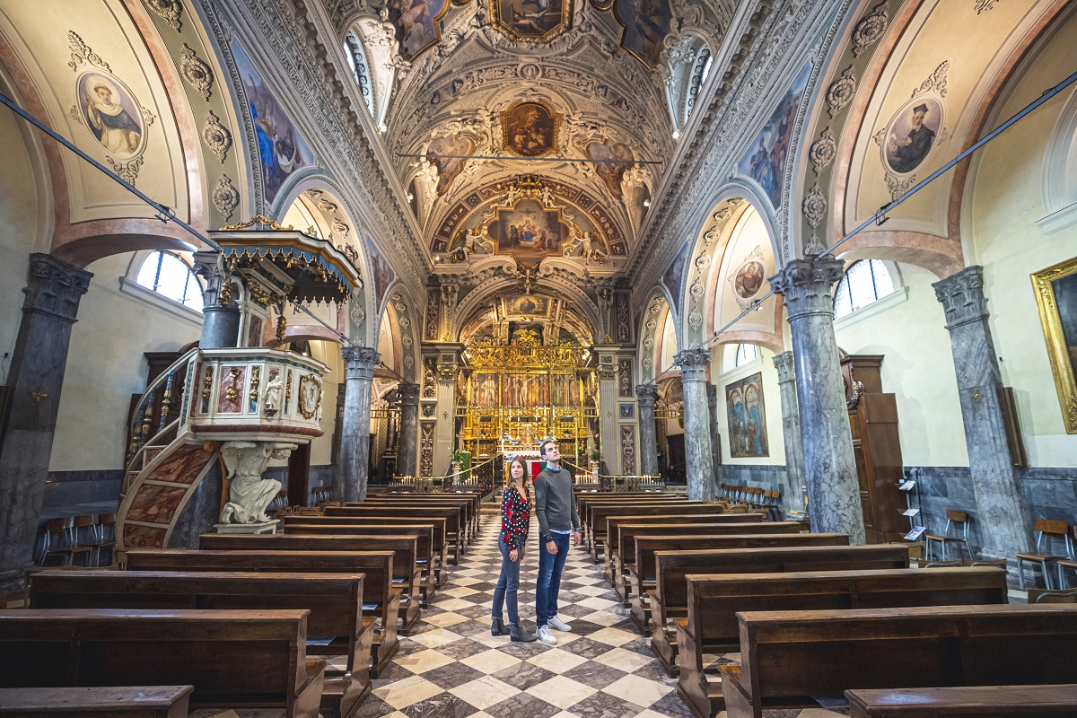
Chiesa Parrocchiale di Santa Maria Assunta
A parish church dedicated to the Assumption in the Ardesio valley.
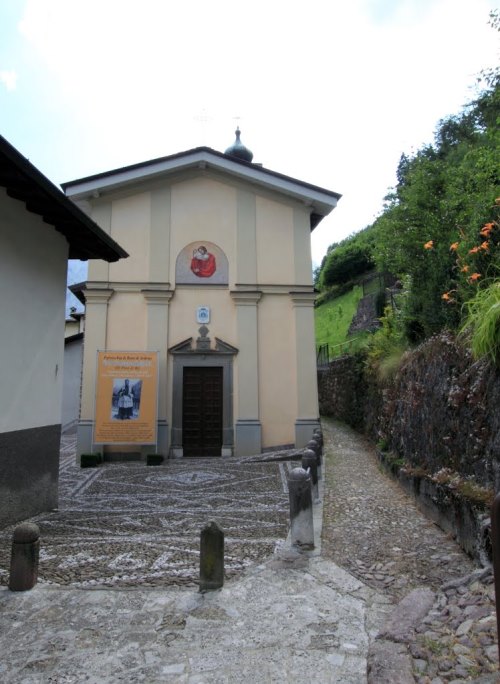
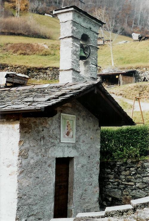
Chiesetta dei Foppi
A small church at the Foppi hamlet above Ardesio, on the paths towards the Orobie.
Santuario Madonna delle Grazie
The sanctuary of the Madonna delle Grazie at Ardesio, a Marian pilgrimage church of the upper Val Seriana.
Chiesa di San Giacomo Apostolo e San Vincenzo Levita
3.3 km away, in Gromo
Gromo's parish church, on the terrace above the Serio gorge.
Chiesa di San Gregorio Magno
3.3 km away, in Gromo
A church in Gromo, near the old square where the blade-makers had their workshops.
MAP
3.6 km away, in Gromo
Gromo's museum of arms and mining, in the Castello Ginami above the village.
Castello Ginami
3.6 km away, in Gromo
A fourteenth-century tower house in Gromo, the seat of the family that ran the valley's blade forges.
Chiesa della Crocetta
3.8 km away, in Gromo
A small church above Gromo, on the path out of the village.
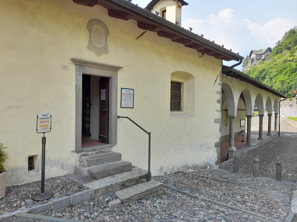
Museo parrocchiale di Gromo “Mons. Luigi Morstabilini”
4 km away, in Gromo
The parish collection at Gromo: vestments, silver and paintings from the valley's churches.
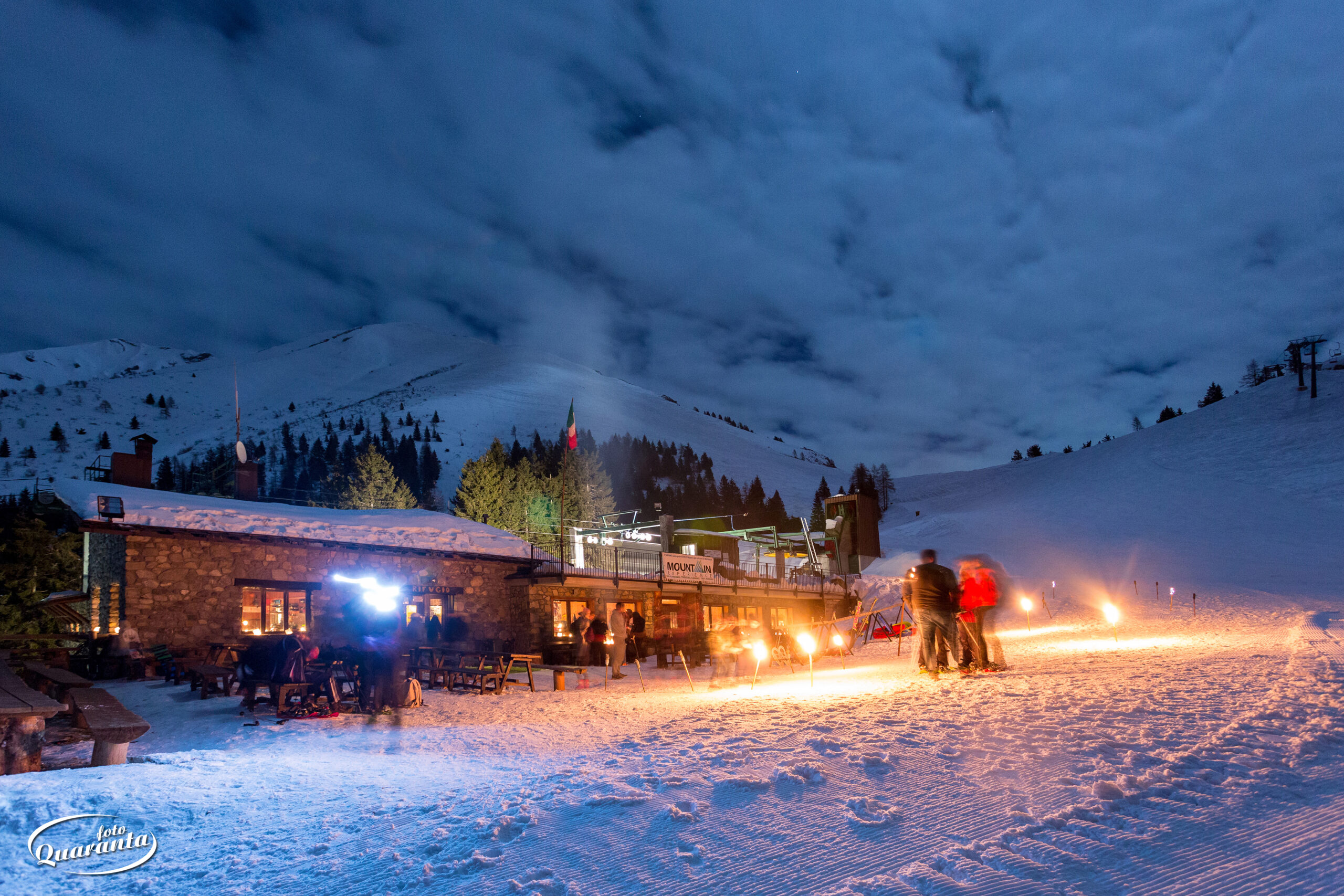
Rifugio Santamaria in Leten
4.2 km away, in Parre
A hut on the Leten pastures above Parre, on the Orobie paths.
 Mountain hut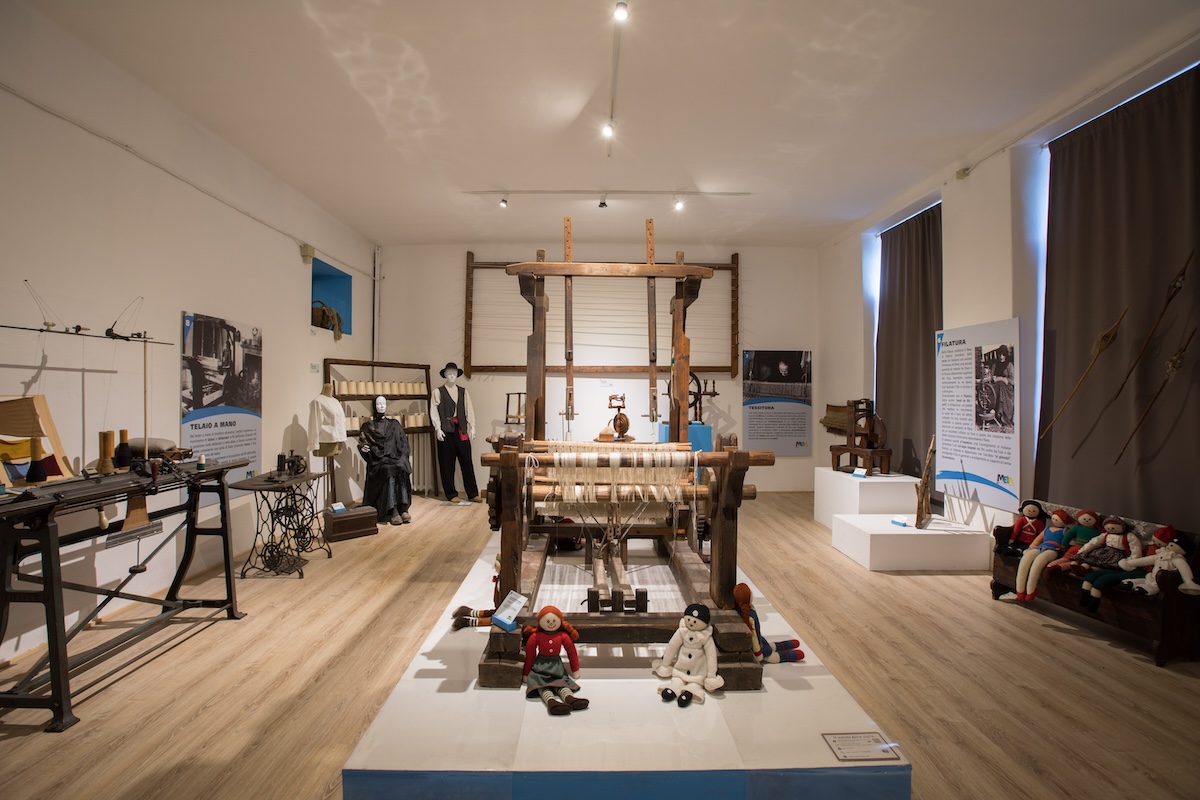
 Historic site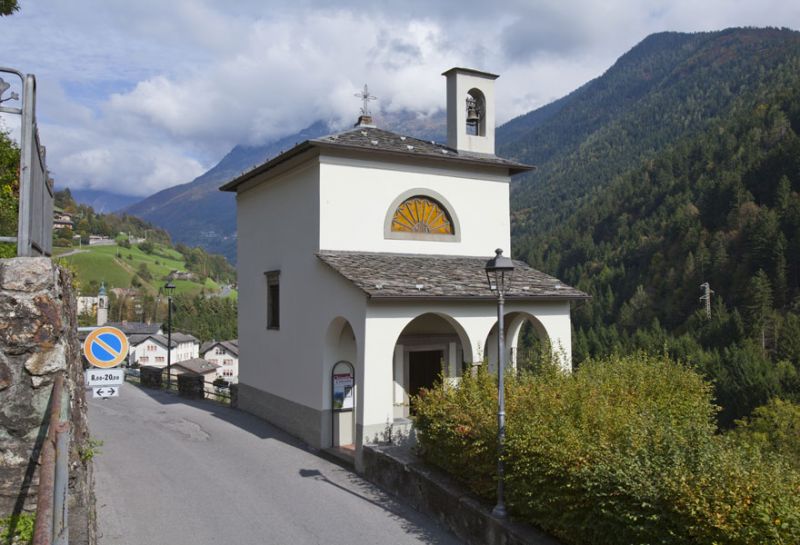
Nothing of this kind in Ardesio.
Routes
13 from neighbouring places
Dall'Alpe Corte al Rifugio Laghi Gemelli
A steady climb from the Alpe Corte to the Laghi Gemelli hut, high in the Orobie.
- 5.3 km
- Distance
- 745 m
- Ascent
- 3 h 17 min
- Duration
- 241
- Check-ins
L'abbraccio al Corno Branchino
A round beneath the Corno Branchino from above Valcanale, starting on CAI 220 through open pinewood with the Fop and Valmora peaks in sight.
- 12.1 km
- Distance
- 1 069 m
- Ascent
- 6 h 42 min
- Duration
- 289
- Check-ins
Cycle path of river Serio
A long ride beside the Serio, on the cycleway that runs from the lower valley up through Clusone towards Valbondione.
- 53.9 km
- Distance
- 716 m
- Ascent
- 5 h 25 min
- Duration
- 51
- Check-ins
Da Valcanale al Rifugio Alpe Corte
A short climb from above Valcanale on CAI 220, part-concreted and steep in places, through pinewood to the Alpe Corte hut.
- 2.5 km
- Distance
- 368 m
- Ascent
- 1 h 26 min
- Duration
- 120
- Check-ins
Ciclabile dell'Alta Val Seriana
A valley cycle path through the upper Val Seriana, following the floor of the valley from Clusone as far as Valbondione at 869 m.
- 24.3 km
- Distance
- 565 m
- Ascent
- 2 h 34 min
- Duration
- 51
- Check-ins
Attorno al Campagano
A circuit of the Campagano from above Valcanale, past the small lake and up the CAI 220 track into pinewood on the Orobie flank.
- 10.8 km
- Distance
- 647 m
- Ascent
- 4 h 23 min
- Duration
- 99
- Check-ins
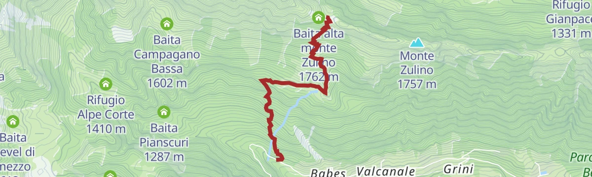
Attorno al fuoco alla forcella di Zulino
A climb on path 265 to the lower hut on Monte Zulino and on to the Zulino notch, a route picked out by Italy's snowboard coaches.
- 2.8 km
- Distance
- 649 m
- Ascent
- 2 h 21 min
- Duration
- 11
- Check-ins
Val Sedornia in MTB
3.6 km away, in Gromo
A climb out of Gromo into the Val Sedornia, passing the Ristorante Posta al Castello and the barns at Stalle del Flesco.
- 21.0 km
- Distance
- 884 m
- Ascent
- 2 h 42 min
- Duration
- 43
- Check-ins
Altopiano Tour
7.6 km away, in Clusone
A short circuit of the Clusone plateau, ridden or walked, through its fields and old lanes.
- 17.8 km
- Distance
- 212 m
- Ascent
- 1 h 47 min
- Duration
- 10
- Check-ins
Miniera di Foghera (BG) e dintorni
9.7 km away, in Gorno
An easy walk from the mining ecomuseum at Gorno to the Foghera adit, in a valley worked for zinc and lead.
- 5.9 km
- Distance
- 343 m
- Ascent
- 2 h 10 min
- Duration
- 12
- Check-ins
Via del Latte in Mountain Bike
11.5 km away, in Castione della Presolana
A climb from Castione della Presolana through woodland and open pasture to the dairy huts of Malga di Campo and Malga Pozzetto below the Corna Cava.
- 21.1 km
- Distance
- 937 m
- Ascent
- 2 h 46 min
- Duration
- 194
- Check-ins
Da Colere alla Malga Polzone
14.1 km away, in Colere
A short ski-touring line from Colere up to Malga Polzone, laid out for beginners and keeping clear of the pisted runs.
- 2.3 km
- Distance
- 482 m
- Ascent
- 0 m
- Descent
- 1 h 19 min
- Duration
- 80
- Check-ins
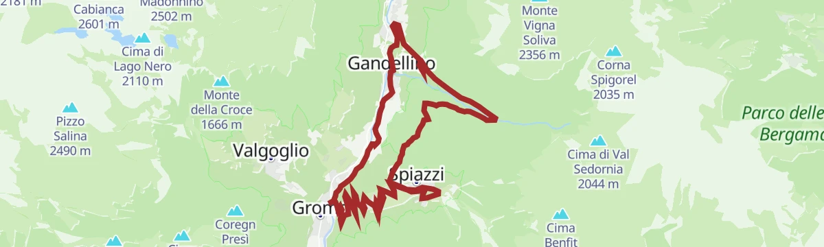
Val Sedornia a Gromo
3.5 km away, in Gromo
A long climb out of Gromo in the Val Seriana, up past the Spiazzi and the bike park into the Val Sedornia.
- 21.9 km
- Distance
- 1 149 m
- Ascent
- 8 h 17 min
- Duration
- 65
- Check-ins
Tour dell'Altopiano di Clusone
8.1 km away, in Clusone
A circuit of the Clusone plateau, leaving the cycle path for the old pastoral road above the town.
- 30.1 km
- Distance
- 849 m
- Ascent
- 3 h 28 min
- Duration
- 9
- Check-ins
Il Rifugio Gianpace nella selvaggia Val Sanguigno
3 km away, in Valgoglio
A climb into the wild Val Sanguigno in the upper Val Seriana to the Rifugio Gianpace, in country left largely to itself.
- 2.8 km
- Distance
- 380 m
- Ascent
- 1 h 33 min
- Duration
- 12
- Check-ins
Colere e le sue frazioni in MTB
15 km away, in Colere
A quiet ride through the hamlets of Colere in the green Val di Scalve, climbing past the ski-area base at Carbonera.
- 13.1 km
- Distance
- 700 m
- Ascent
- 1 h 55 min
- Duration
- 41
- Check-ins
Miniera Costa Jels (BG) e dintorni di Oneta
10 km away, in Gorno
A walk around Oneta from the Costa Jels mine at Gorno, in the old zinc-mining country of the Val del Riso.
- 4.2 km
- Distance
- 133 m
- Ascent
- 1 h 28 min
- Duration
- 14
- Check-ins
In bici in Presolana
11.7 km away, in Castione della Presolana
A mountain bike climb from Castione della Presolana to the Rino Olmo hut, then a long traverse to the Carlo Medici hut at the Cassinelli.
- 19.2 km
- Distance
- 1 067 m
- Ascent
- 2 h 52 min
- Duration
- 255
- Check-ins
Escursione ai Laghi del Cardeto
4.5 km away, in Gromo
A climb from the Val Seriana to the three Cardeto tarns on the flank of the Monte Madonnino.
- 15.3 km
- Distance
- 1 062 m
- Ascent
- 7 h 5 min
- Duration
- 62
- Check-ins
Dal fiume Serio in bici fino al Rifugio Santamaria
9.6 km away, in Ponte Nossa
A long climb out of the Serio valley through fir and beech woods and high pasture, past the huts of Alpe Vaccaro to the Baita Forcella.
- 30.9 km
- Distance
- 1 800 m
- Ascent
- 4 h 46 min
- Duration
- 52
- Check-ins






No routes of this kind in Ardesio yet.
Planning a trip to Ardesio?
Everything else Lombardy has, in one place


Take Ardesio with you into the mountains
Every route on this page with 3D terrain, GPX navigation and offline maps — including the valleys with no signal.
Data sources
- Official website: valseriana.eu ↗
- Routes and highlights: Val Seriana, in Lombardia, Visitbergamo
- Published as open data by the tourist boards named above.
- Region summary generated from the board's own material.
