







Curated by Ybbstaler Alpen
Annaberg
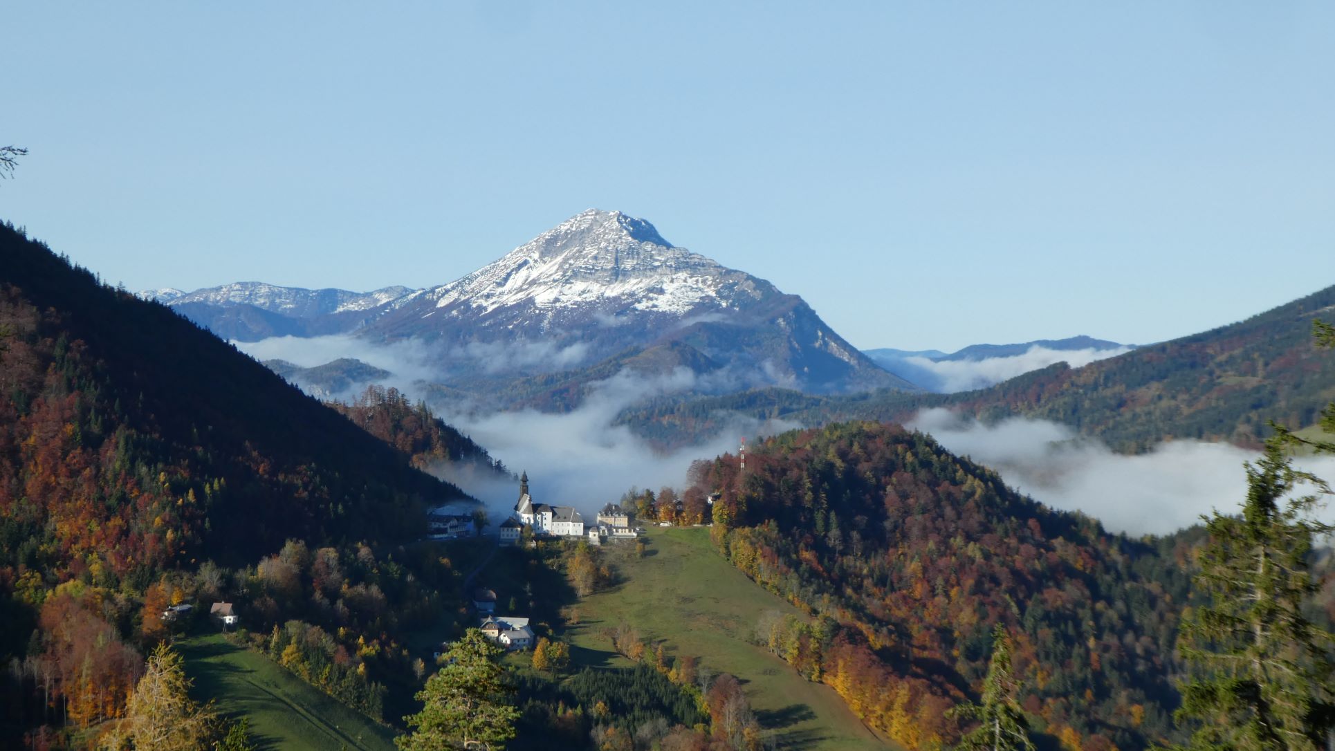
A pass village between 795 and 970 m in the Bezirk Lilienfeld, on the old pilgrim road to Mariazell below the Ötscher, with the Tormäuer gorges at Wienerbruck.
- 8Highlights
- 6Routes
- Featured summit · Ötscher
Highlights
All 8 from neighbouring places
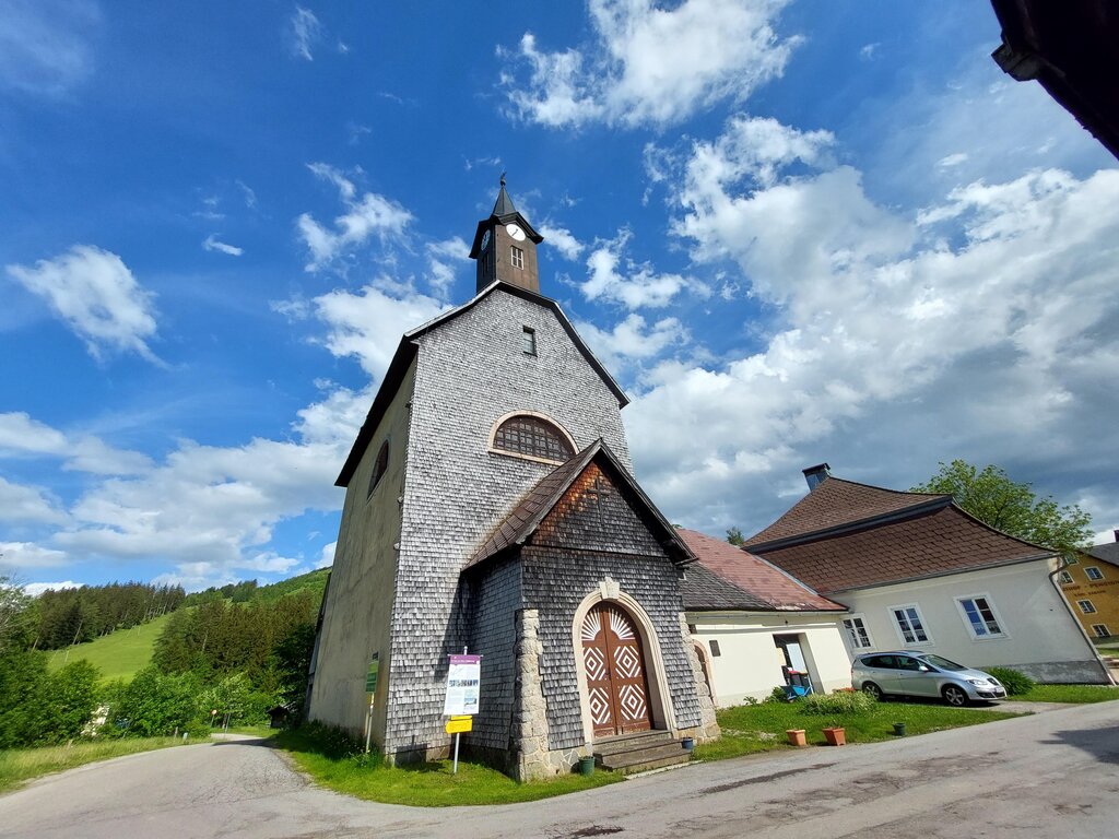
Kirche am Josefsberg
4.3 km away, in Mitterbach am Erlaufsee
A church on the Josefsberg pass between Annaberg and Mariazell, long a station on the pilgrims' route.
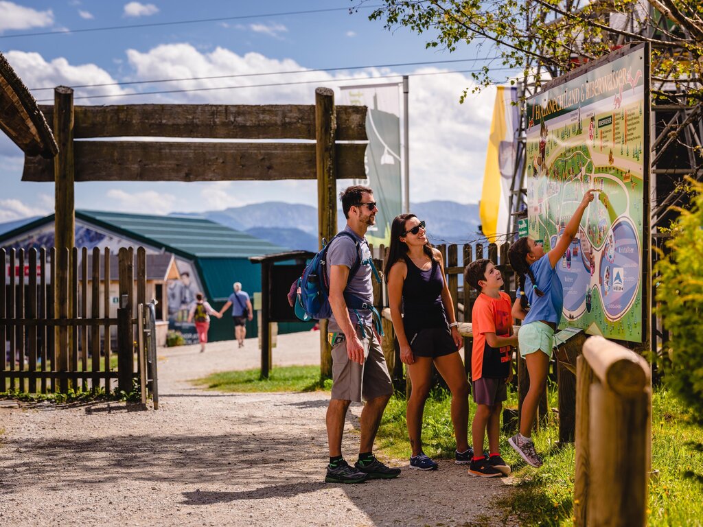
Erlebniswelt Holzknechtland
9.1 km away, in Mariazell
An open-air site near Mariazell about the Holzknechte, the forest workers who once cut timber in these valleys.
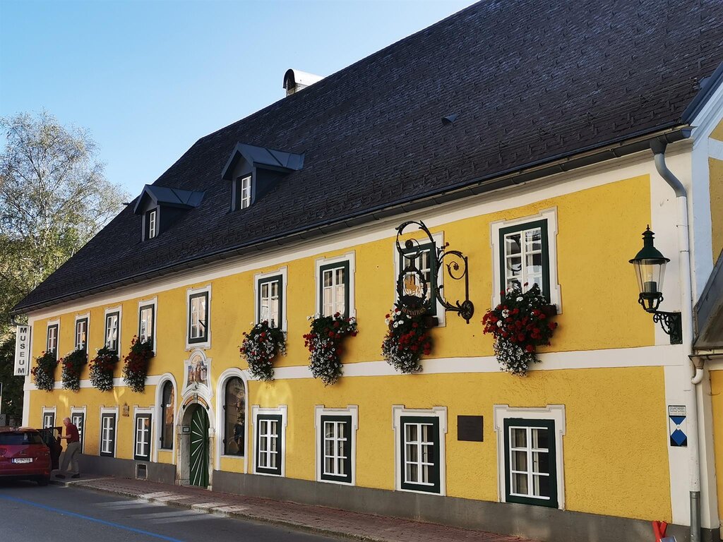
Mariazeller Heimathaus
10.6 km away, in Mariazell
The local heritage museum of Mariazell, covering the history of the pilgrimage town and its surroundings.
Schutzhaus Vorderötscher
10.8 km away, in Mitterbach am Erlaufsee
An inn in the Ötschergräben below the Ötscher, a stop on the gorge walk that starts at Wienerbruck.
Marienwasserfall
13.5 km away, in Mariazell
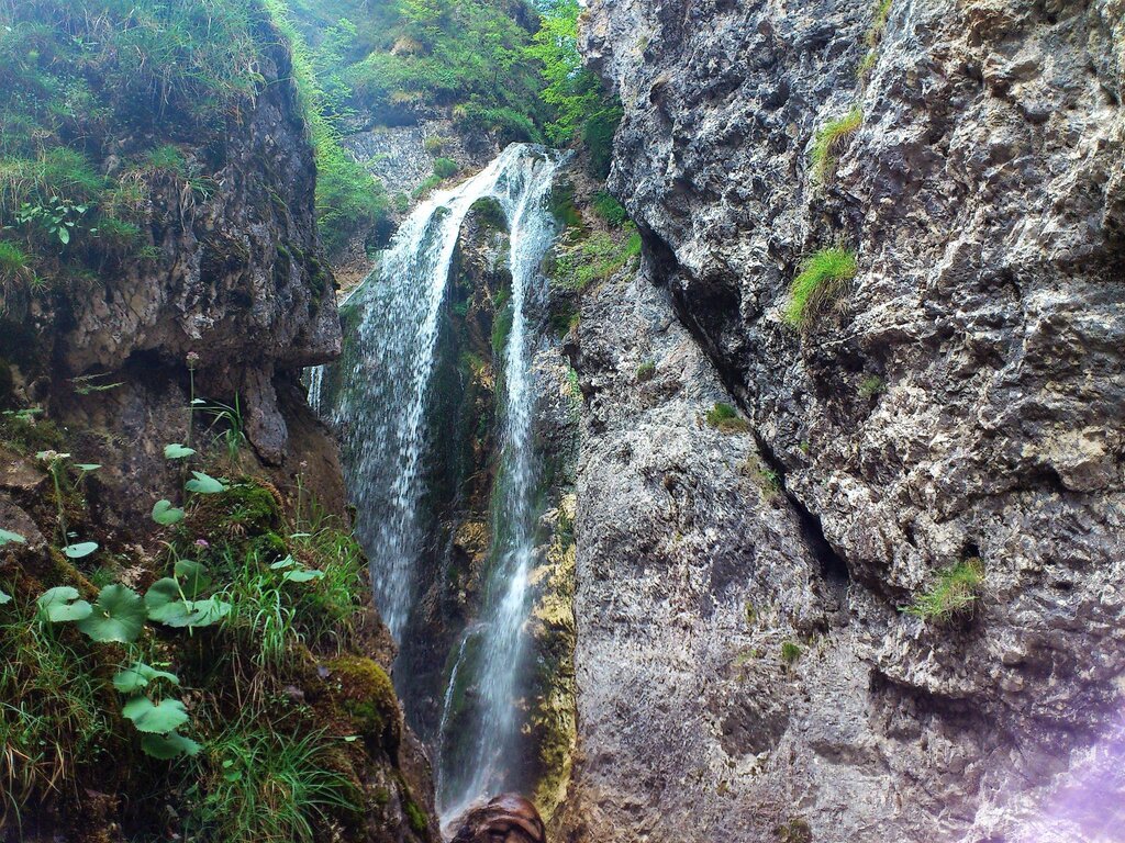
A waterfall west of Mariazell in the Halltal, long visited by pilgrims travelling to the basilica.
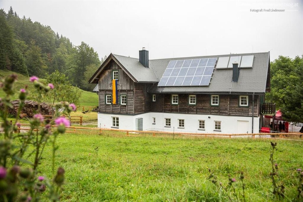
Almhütte Feldwiesalm (geöffnet während Almbetrieb)
13.3 km away, in Gaming
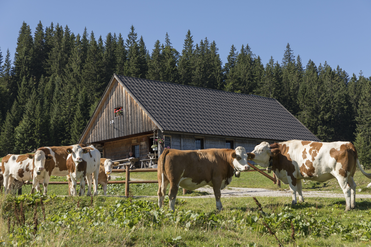
An alpine pasture hut on the Feldwies above Gaming, open to walkers only while the cattle are up on the alm.
Ötscherschutzhaus
13.6 km away, in Gaming
A mountain hut high on the Ötscher above Gaming, the main staging post for walkers climbing the mountain.
Jausenstation Schindlhütte
14.3 km away, in Gaming
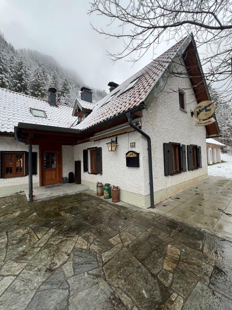
A snack hut on the pastures above Gaming, serving walkers on the paths below the Ötscher.
Nothing of this kind in Annaberg.
Routes
14 from neighbouring places
Gemeindealpe Mitterbach
From the Terzerhaus at the top of the Gemeindealpe, 14.4 km with 409 m of ascent leads over the Grubenmauer and down by the Schutzhaus Vorderötscher.
- 14.4 km
- Distance
- 409 m
- Ascent
- 4 h 22 min
- Duration
- 26
- Check-ins
Vom Rauhen Kamm bis in tiefste Gräben
A 27.2 km traverse taking the Rauher Kamm ridge to the Ötscher, then dropping through the Ötschergräben past the Ötscherhias.
- 27.2 km
- Distance
- 471 m
- Ascent
- 7 h 32 min
- Duration
- 41
- Check-ins
 Ötscher 1 893 m
- Herrenstand 1 890 m
 Ötscherschutzhaus 1 418 m
 Riffelsattel 1 283 m
- Ötscherhias 678 m
 Stauweiher Stierwaschboden 614 m
- +1
Naturpark-Strecke
A route from Lackenhof by Raneck, dropping on gravel into the Ötschergräben.
- 34.0 km
- Distance
- 990 m
- Ascent
- 3 h 57 min
- Duration
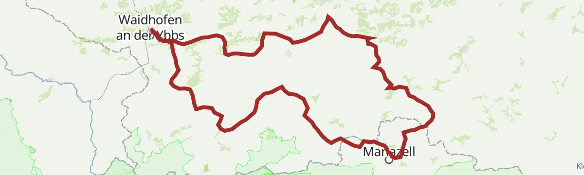
Mariazeller Runde über Hubertussee
A short pilgrim-route circuit near Mariazell taking in the Hubertussee in the Walstertal, with under 200 m of climbing.
- 164.9 km
- Distance
- 182 m
- Ascent
- 14 h 47 min
- Duration
- 1
- Check-ins
Etappe 13 Luchs Trail Lackenhof
A final stage heading towards the Ötscher and then down through the Ötschergräben gorges to the Ötscher Basis park centre at Wienerbruck.
- 17.3 km
- Distance
- 300 m
- Ascent
- 4 h 47 min
- Duration
Wanderung durch Schluchten und über Höhen!
A 19.2 km traverse from the Terzerhaus on the Gemeindealpe down through the Ötschergräben, past the Schutzhaus Vorderötscher and the Ötscherhias.
- 19.2 km
- Distance
- 161 m
- Ascent
- 4 h 53 min
- Duration
- 30
- Check-ins
Sulzbichl
10.7 km away, in Puchenstuben
An almost level walk down to Trübenbach on a waterfall path laid out more than a century ago, passing the Trefflingfall and the Trefflingtalerhütte.
- 6.2 km
- Distance
- 74 m
- Ascent
- 1 h 38 min
- Duration
Skitour Großer Ötscher
14.6 km away, in Gaming
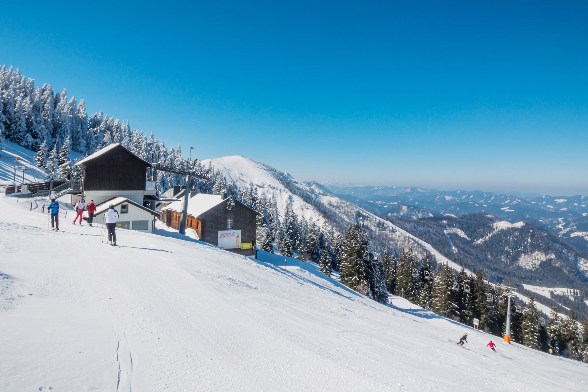
A 3.7 km ski tour gaining 576 m on the Ötscher above Lackenhof, with the Ötscherschutzhaus near the top.
- 3.7 km
- Distance
- 576 m
- Ascent
- 576 m
- Descent
- 1 h 57 min
- Duration
- 14
- Check-ins
Vom Ötscher zum Lunzer See
14.7 km away, in Gaming
A ride from Lackenhof down through the woods, following the water across to the Lunzer See.
- 58.9 km
- Distance
- 839 m
- Ascent
- 6 h 1 min
- Duration
- 4
- Check-ins
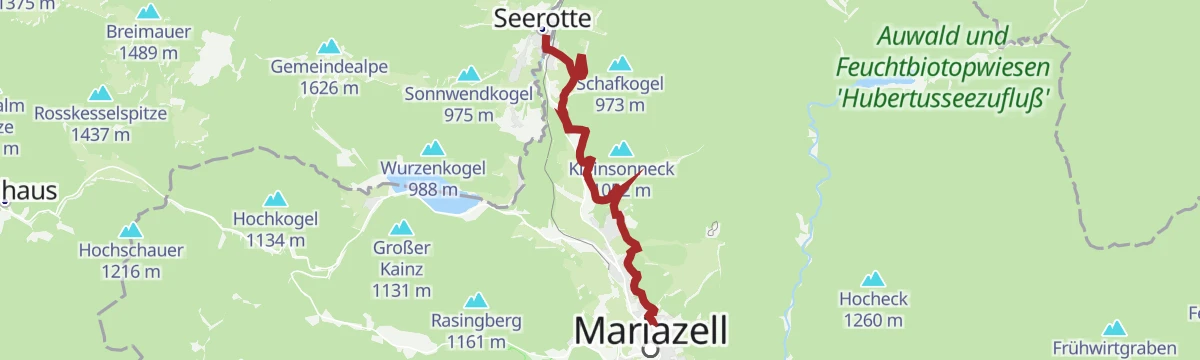
OÖ Mariazellerweg: A: 8. Etappe: Mitterbach
7.5 km away, in Mariazell
The eighth stage of the Upper Austrian pilgrim route to Mariazell, 7.7 km from Mitterbach with 250 m of ascent to finish in the town.
- 7.7 km
- Distance
- 250 m
- Ascent
- 2 h 25 min
- Duration
Haute Route 7. Etappe: Vorderötscher
10.8 km away, in Mitterbach am Erlaufsee
A 24.5 km stage over the Ötscher and the Herrenstand, taking in the Ötscherschutzhaus and the Riffelsattel before the Schutzhaus Vorderötscher.
- 24.5 km
- Distance
- 295 m
- Ascent
- 6 h 27 min
- Duration
- 38
- Check-ins
Nestelbergsäge
11.5 km away, in Gaming
A 4.4 km walk to the old sawmill at Nestelberg in the hills above Gaming, gaining 205 m.
- 4.4 km
- Distance
- 205 m
- Ascent
- 1 h 32 min
- Duration
OÖ Mariazellerweg: D: 7. Etappe: Mitterbach
7.5 km away, in Mariazell
Stage seven of the D variant of the Upper Austrian pilgrim route, 7.7 km from Mitterbach to Mariazell by way of the Sebastianikirche.
- 7.7 km
- Distance
- 272 m
- Ascent
- 2 h 28 min
- Duration
Große Ötscher Runde
14.6 km away, in Gaming
A 15.1 km circuit over the Ötscher and the Herrenstand, linking the Ötscherschutzhaus, the Riffelsattel and the Fuchswaldhütte.
- 15.1 km
- Distance
- 116 m
- Ascent
- 3 h 49 min
- Duration
- 43
- Check-ins
Genusswanderung von NP-Eingang Eibenboden bis Trefflingfall
12.8 km away, in Gaming
A 4 km walk from the park entrance at Eibenboden to the Trefflingfall waterfall, with 103 m of ascent.
- 4.0 km
- Distance
- 103 m
- Ascent
- 1 h 12 min
- Duration
Naturparkeingang Treffling
10.7 km away, in Puchenstuben
A walk into the nature park from Puchenstuben on a geology trail with six marked stops, reaching the Ötscherblick lookout and the Trefflingtalerhütte.
- 7.4 km
- Distance
- 239 m
- Ascent
- 2 h 19 min
- Duration
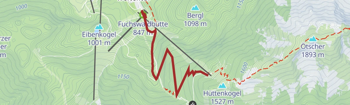
Vom Ötscherschutzhaus zum Hüttenkogel
13.5 km away, in Gaming
A short 0.8 km link gaining 92 m from the Ötscherschutzhaus up to the Hüttenkogel.
- 771 m
- Distance
- 92 m
- Ascent
- 33 min
- Duration
- 11
- Check-ins
Vom Zellerrain auf die Feldwiesalm
13.6 km away, in Mariazell
A 10.7 km walk up from the Zellerrain to the Feldwiesalm above Mariazell, gaining 392 m and passing the Notlager shelter on the way.
- 10.7 km
- Distance
- 392 m
- Ascent
- 3 h 29 min
- Duration
Auf den Spuren des Clusius
13.5 km away, in Gaming
A 0.8 km walk from the Ötscherschutzhaus up to the Hüttenkogel, gaining 103 m, named after the botanist Carolus Clusius.
- 786 m
- Distance
- 103 m
- Ascent
- 36 min
- Duration
- 11
- Check-ins
Zellerrain
13.6 km away, in Mariazell
A 5.1 km climb of 354 m from the Zellerrain up to the Grubenmauer, with the Halterhütte auf der Brach on the way.
- 5.1 km
- Distance
- 354 m
- Ascent
- 2 h 22 min
- Duration
- 3
- Check-ins
No routes of this kind in Annaberg yet.
The region's own picks

Featured route
Gemeindealpe Mitterbach
From the Terzerhaus at the top of the Gemeindealpe, 14.4 km with 409 m of ascent leads over the Grubenmauer and down by the Schutzhaus Vorderötscher.
Planning a trip to Annaberg?
Everything else Lower Austria has, in one place


Take Annaberg with you into the mountains
Every route on this page with 3D terrain, GPX navigation and offline maps — including the valleys with no signal.
Data sources
- Official website: annaberg.info ↗
- Routes and highlights: Ybbstaler Alpen, Steiermark, 360alpenland
- Published as open data by the tourist boards named above.
- Region summary generated from the board's own material.
