

 Historic site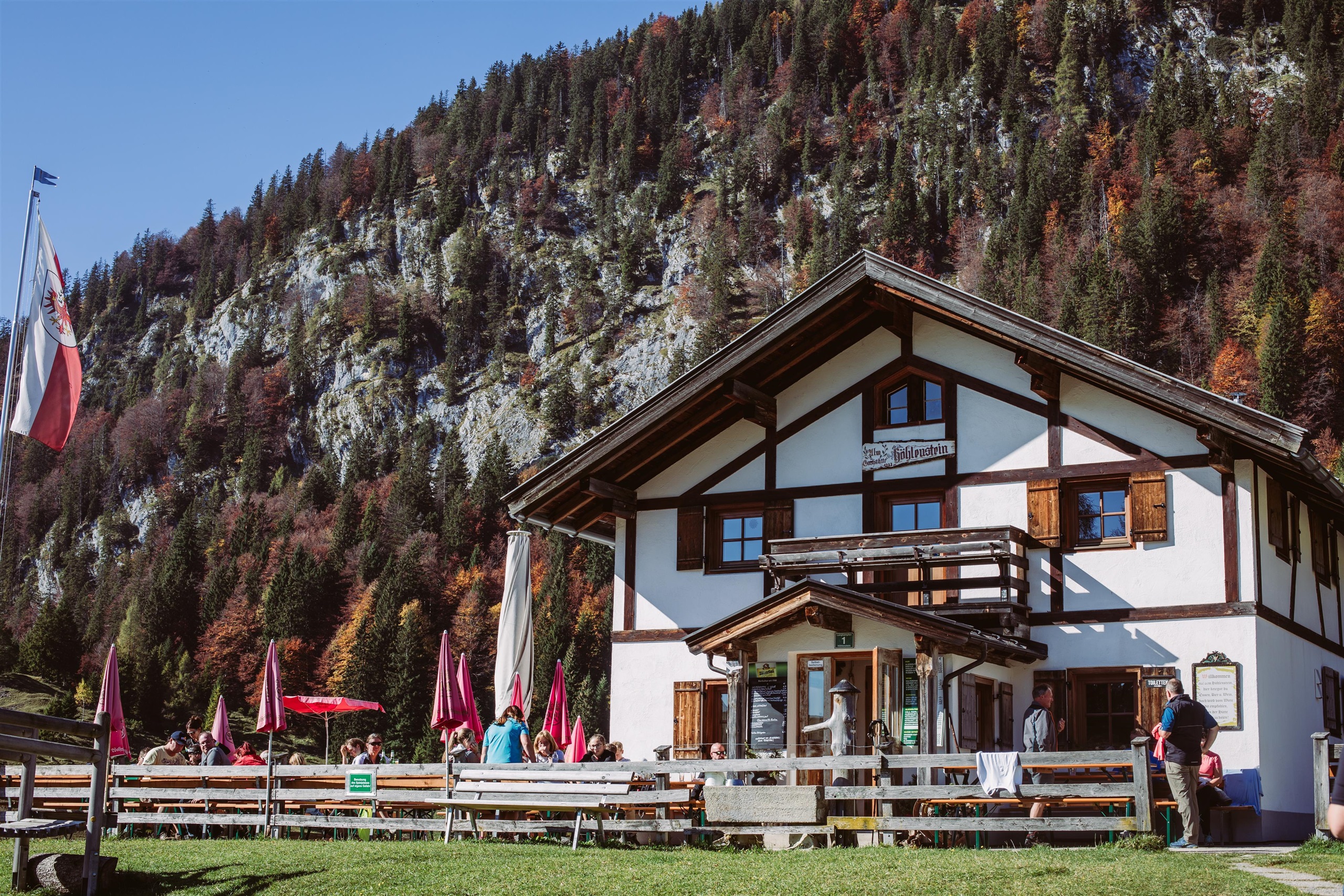









Curated by Kitzbüheler Alpen Tourismus
Angerberg
A plateau municipality of farm hamlets above the Inn's north bank near Wörgl, with the Hundalm ice and dripstone cave high in the woods behind.
- 1Highlights
- 25Routes
- Featured summit · Kienberg
Highlights
14 from neighbouring places
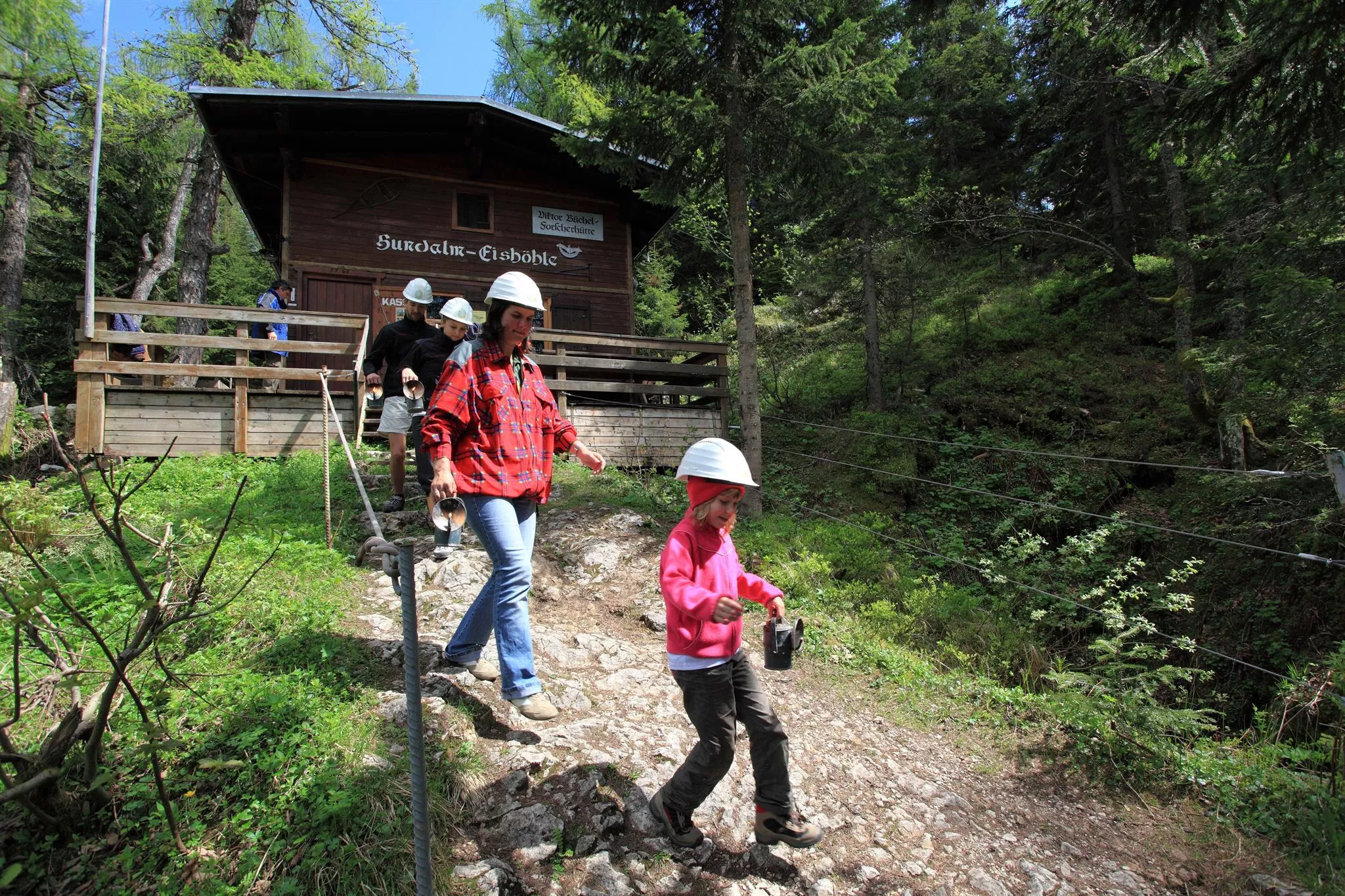
Hundalm Eis- und Tropfsteinhöhle
An ice and dripstone cave on the Hundalm above Angerberg, reached on foot and shown on guided tours during the summer months.
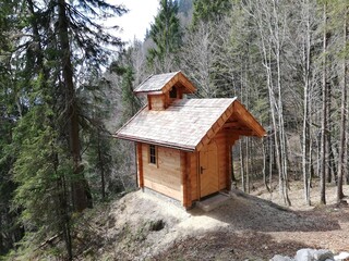
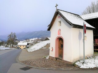
Thaler Kapelle
2.8 km away, in Breitenbach am Inn
A farm chapel at Thal near Breitenbach am Inn, serving the scattered farms on the northern terraces of the Inn valley.
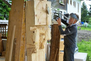
Bildhauerei Ruprechter
3.1 km away, in Breitenbach am Inn
The Ruprechter sculpture workshop in Breitenbach am Inn, producing carved and hewn work for churches, farms and private clients.
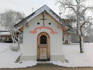
Dattlkapelle
3.2 km away, in Breitenbach am Inn
A farm chapel known as the Dattlkapelle near Breitenbach am Inn, part of the dense chapel landscape of the lower Inn valley.
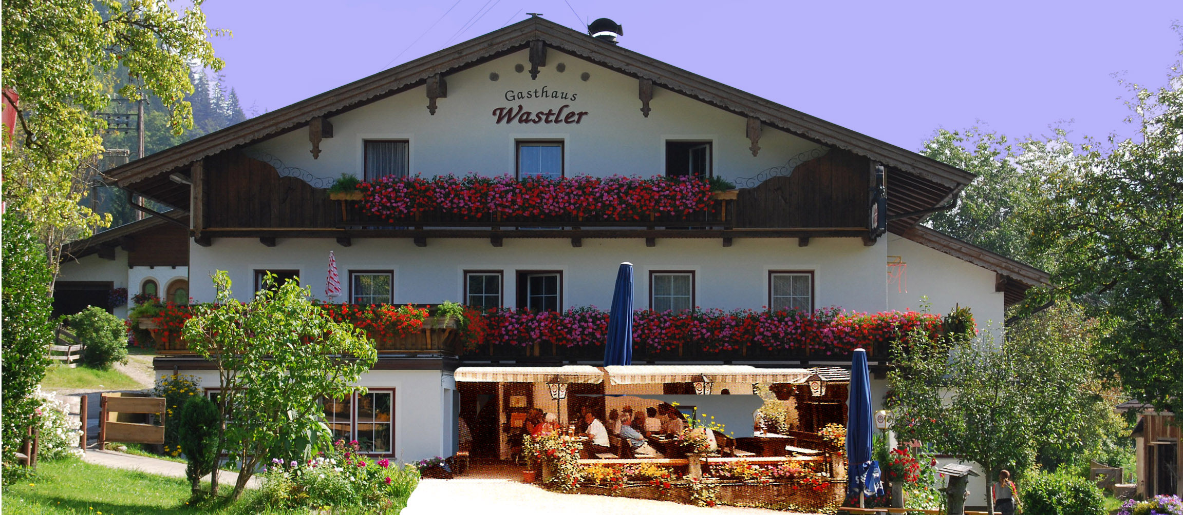
Berggasthaus Wastler
4.3 km away, in Thiersee
A mountain guesthouse in the Thiersee area west of Kufstein, serving home cooking to walkers in the quiet hills near the Bavarian border.
Galerie am Stadtplatz
4.5 km away, in Wörgl
An art gallery on the town square of Wörgl, staging changing exhibitions of regional and contemporary work.
Gattererkapelle
4.8 km away, in Breitenbach am Inn
A farm chapel at the Gatterer farmstead near Kleinsöll in Breitenbach am Inn, built and kept by the farming family.
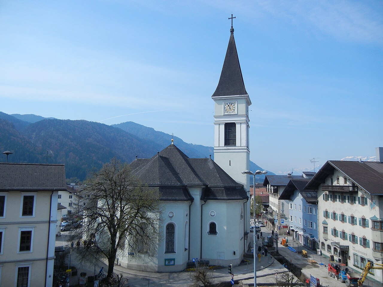
Stadtpfarrkirche Wörgl
4.8 km away, in Wörgl
The main parish church of Wörgl, serving the Inn valley town that grew around the rail junction between Innsbruck and Kitzbühel.
Höhlensteinhaus Almgasthaus
4.8 km away, in Langkampfen
An alm inn on the Höhlenstein above Langkampfen, reached on foot or by bike, serving hut fare with views over the Inn valley.
Ruine Rudersburg
4.8 km away, in Langkampfen
The scant remains of a small castle in the Thiersee area of the Kufsteinerland, reached on woodland walking paths.
Filialkirche Johannes d. Täufer- Kleinsöll
4.9 km away, in Breitenbach am Inn
A filial church of St John the Baptist in Kleinsöll, a hamlet of Breitenbach am Inn on the terrace above the river.
Waldbad am Riedenberg
5.1 km away, in Thiersee
A forest bathing spot at Riedenberg in the Thiersee area, a simple summer swimming place set among the woods.
Pfarrkirche zum Hl. Petrus
6.2 km away, in Breitenbach am Inn
The parish church of St Peter in Breitenbach am Inn, the main church of the farming village on the sunny north side of the Inn valley.
Labyrinth Hinterthiersee
6.5 km away, in Thiersee
A walk-through labyrinth at Hinterthiersee near Kufstein, laid out as a meditative path in the mountain valley.
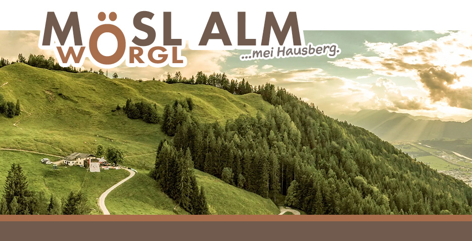
Almgasthof Möslalm
6.6 km away, in Wörgl
An alm inn in the hills above Wörgl in the Kitzbüheler Alpen, a walking destination serving traditional Tyrolean food on the mountain pastures.
Nothing of this kind in Angerberg.
Routes
Regionsweg über Angerberg
Easy regional path across the Angerberg plateau, linking the Infopoint with the Brudersdorfer Kapelle on quiet lanes high above the Inn valley.
- 6.2 km
- Distance
- 190 m
- Ascent
- 1 h 55 min
- Duration
- 5
- Check-ins
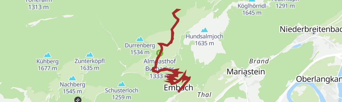
Wanderung zur Buchackeralm
Steady forest climb from the Mariastein side to the Buchackeralm, where the Almgasthof rewards nearly 800 m of ascent with a sunny terrace.
- 10.3 km
- Distance
- 798 m
- Ascent
- 5 h 11 min
- Duration
- 9
- Check-ins
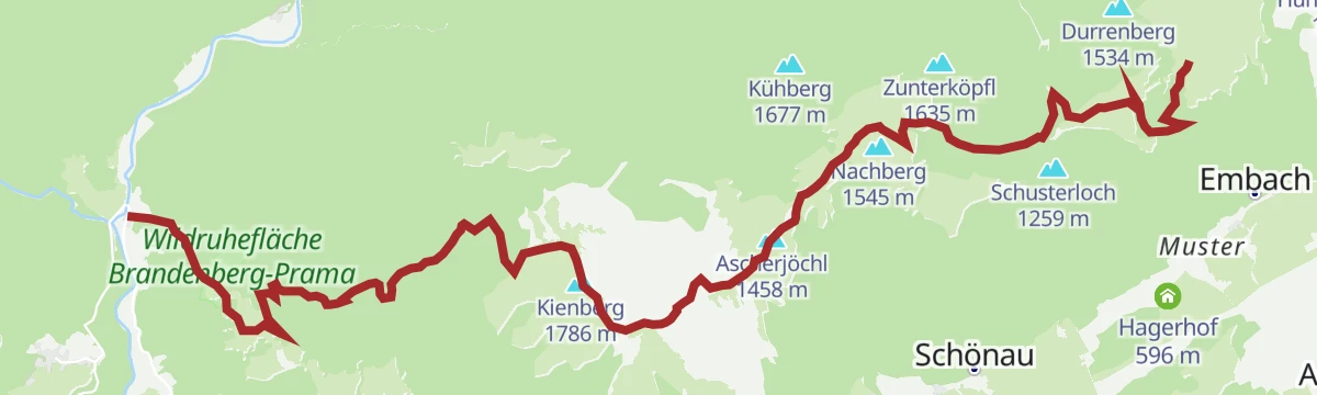
Adlerweg-Etappe 05: Buchacker – Gwercherwirt
Adlerweg stage from the Buchackeralm to the Gwercherwirt in the Brandenberg mountains, crossing Heuberg, Kienberg and Plessenberg on a long ridge day.
- 15.6 km
- Distance
- 943 m
- Ascent
- 7 h 45 min
- Duration
- 37
- Check-ins
1. Etappe KAT Bike E-njoy
The opening stage of a multi-day e-bike route, running from the Inn valley at Wörgl over Angerberg and Mariastein into the Brixental.
- 53.0 km
- Distance
- 1 766 m
- Ascent
- 6 h 22 min
- Duration
- 13
- Check-ins
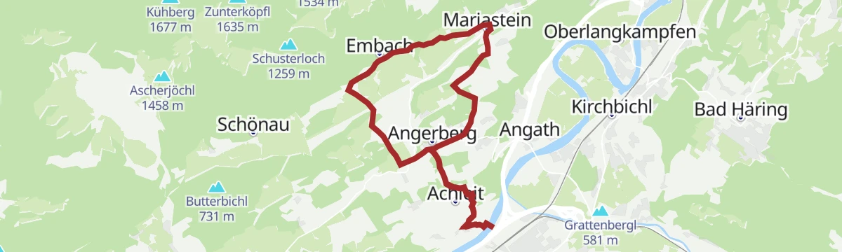
Rundfahrt zur Wallfahrtskirche Mariastein
A short family loop across the Angerberg terrace to the pilgrimage church, returning by the Brudersdorfer Kapelle and Endstrasshof.
- 15.0 km
- Distance
- 381 m
- Ascent
- 1 h 41 min
- Duration
- 5
- Check-ins
Rennrad 01 Alpbachtal Giro
A big road day from the lower Inn valley over the Kerschbaumer Sattel at 1,113 m, with the lakes near Kramsach at start and finish.
- 117.2 km
- Distance
- 2 003 m
- Ascent
- 12 h 17 min
- Duration
- 58
- Check-ins
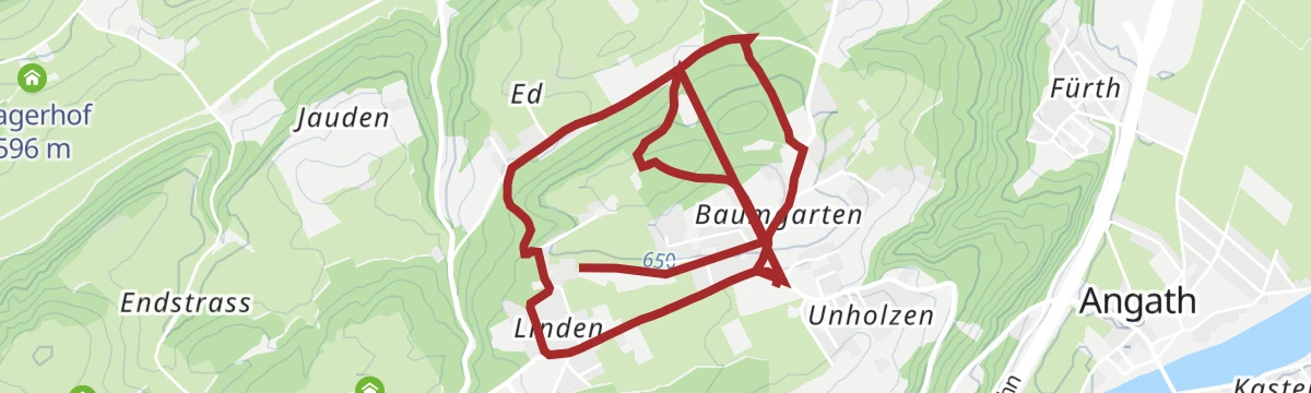
Baumgartenrunde
Short and easy round from the Angerberg Infopoint through plateau farmland — gentle lanes with the Kaiser mountains across the valley.
- 6.1 km
- Distance
- 112 m
- Ascent
- 1 h 43 min
- Duration
- 3
- Check-ins
Angerbergerrunde
Plateau circuit around Angerberg's scattered villages via the Endstrasshof and the Jausenstation Kronthalhof, a rolling round high above the Inn.
- 10.0 km
- Distance
- 187 m
- Ascent
- 2 h 48 min
- Duration
- 3
- Check-ins
Auf den Spuren des Adlerweges
Adlerweg-flavoured day from Langkampfen up to the Buchackeralm and its gasthof, continuing over the Köglhörndl and Hundsalmjoch before the long forest descent.
- 16.0 km
- Distance
- 1 298 m
- Ascent
- 8 h 20 min
- Duration
- 31
- Check-ins
Rennrad 08 Pölvenrunde
A long road circuit from the lower Inn valley over to Hopfgarten in the Brixental, returning by Mariastein and Angerberg.
- 82.2 km
- Distance
- 1 004 m
- Ascent
- 8 h 14 min
- Duration
- 50
- Check-ins
Mariasteinerrunde über Moosbach
Short loop from Mariastein through the Moosbach fields, circling below the village's fortress-tower pilgrimage church.
- 3.5 km
- Distance
- 79 m
- Ascent
- 1 h 1 min
- Duration
- 2
- Check-ins
Kapellenrundwanderung
Chapel-to-chapel round on the Angerberg-Mariastein plateau, connecting wayside churches on farm lanes with the Kaisergebirge across the valley.
- 7.1 km
- Distance
- 143 m
- Ascent
- 2 h 1 min
- Duration
- 2
- Check-ins
Gipfeltour Eishöhle
Big two-summit day above Langkampfen over the Köglhörndl and Hundsalmjoch, passing the Viktor-Büchel hut near the Hundsalm ice cave.
- 18.6 km
- Distance
- 1 457 m
- Ascent
- 9 h 26 min
- Duration
- 24
- Check-ins
16 - Radmarathon Seenrunde
A long-distance road circuit from the Angerberg terrace down to the bathing lakes near Kramsach and back by way of Mariastein.
- 94.3 km
- Distance
- 1 610 m
- Ascent
- 9 h 53 min
- Duration
- 42
- Check-ins
Schneerosentalweg - Breitenbach
Level walk near Breitenbach am Inn through a shallow valley named for the snow roses that bloom in early spring, passing the Hagerhof farm.
- 5.4 km
- Distance
- 46 m
- Ascent
- 1 h 22 min
- Duration
- 1
- Check-ins
Wanderung zum Hundalmjoch
Long forest-and-alm ascent over the Buchackeralm to the Hundsalmjoch, topping 1,000 m of climbing on the plateau's biggest walk.
- 13.8 km
- Distance
- 1 029 m
- Ascent
- 6 h 45 min
- Duration
- 15
- Check-ins
01A - Seenrundfahrt - Variante Brandenberg
A long road loop through the lower Inn valley and up the side valley to Brandenberg, taking in the small lakes around Kramsach.
- 90.9 km
- Distance
- 1 593 m
- Ascent
- 9 h 34 min
- Duration
- 39
- Check-ins
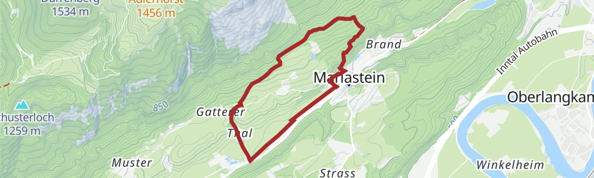
Embachrunde
Quiet country loop at Mariastein below its pilgrimage church, on easy lanes and meadow paths with views across the lower Inn valley.
- 5.2 km
- Distance
- 173 m
- Ascent
- 1 h 39 min
- Duration
Wanderung zur Hundalm Eis- und Tropfsteinhöhle
Demanding walk via the Buchackeralm to the Hundalm ice and dripstone cave, one of Tirol's few show ice caves, with the Forscherhütte beside the entrance.
- 13.7 km
- Distance
- 963 m
- Ascent
- 6 h 24 min
- Duration
- 10
- Check-ins
Rennrad 07 Kufstein Festungsrunde
A long road loop down the Inn valley to the fortress town of Kufstein and back, starting from the lakes near Kramsach.
- 75.9 km
- Distance
- 650 m
- Ascent
- 7 h 21 min
- Duration
- 38
- Check-ins
Jakobsweg ab Breitenbach
A 25 km leg of the Tyrolean Jakobsweg from Breitenbach along the Inn, passing the Badesee Badl and a woodcutters' hut on the way toward Rattenberg.
- 25.3 km
- Distance
- 342 m
- Ascent
- 6 h 50 min
- Duration
- 2
- Check-ins
 Tourismusinformation Rattenberg-Radfeld-Brixlegg 516 m
- Holzfällerhütte 577 m
 Badesee Badl 504 m
Rennradrunde - Reintaler Seen
A long road circuit from the Inn valley up to the lakes above Kramsach, with inns and campsites along the shore.
- 69.9 km
- Distance
- 655 m
- Ascent
- 6 h 49 min
- Duration
- 34
- Check-ins
Rennrad 03 Angerberg
A road tour from the lakes at Kramsach onto the terrace above the lower Inn valley, returning through Rattenberg and Brixlegg.
- 59.3 km
- Distance
- 473 m
- Ascent
- 5 h 42 min
- Duration
- 33
- Check-ins
14 - Radmarathon Panoramarunde
A road circuit on the terraces above the Inn between Kufstein and Mariastein, passing the Strillinger Stausee and the Lurchweiher.
- 47.4 km
- Distance
- 672 m
- Ascent
- 4 h 50 min
- Duration
- 9
- Check-ins
- Infopoint Angerberg/Mariastein 647 m
- Lurchweiher 484 m
- Strillinger Stausee 524 m
- Tiroler Fliegerstube 486 m
- Metallveredelung Huber 486 m
Schönau Radrunde (508)
A short climb out of the Inn valley onto the Angerberg terrace by Mariastein, then an easy roll back down to the river.
- 19.5 km
- Distance
- 290 m
- Ascent
- 2 h
- Duration
- 6
- Check-ins
No routes of this kind in Angerberg yet.
The region's own picks

Featured route
Regionsweg über Angerberg
Easy regional path across the Angerberg plateau, linking the Infopoint with the Brudersdorfer Kapelle on quiet lanes high above the Inn valley.
Planning a trip to Angerberg?
Everything else Tyrol has, in one place


Take Angerberg with you into the mountains
Every route on this page with 3D terrain, GPX navigation and offline maps — including the valleys with no signal.
Data sources
- Official website: kitzbueheler-alpen.com ↗
- Routes and highlights: Kitzbüheler Alpen Tourismus, Alpbachtal Tourismus, Kufsteinerland, Wilder Kaiser Tourismus
- Published as open data by the tourist boards named above.
- Region summary generated from the board's own material.
