
Curated by Kitzbüheler Alpen Tourismus
Angath
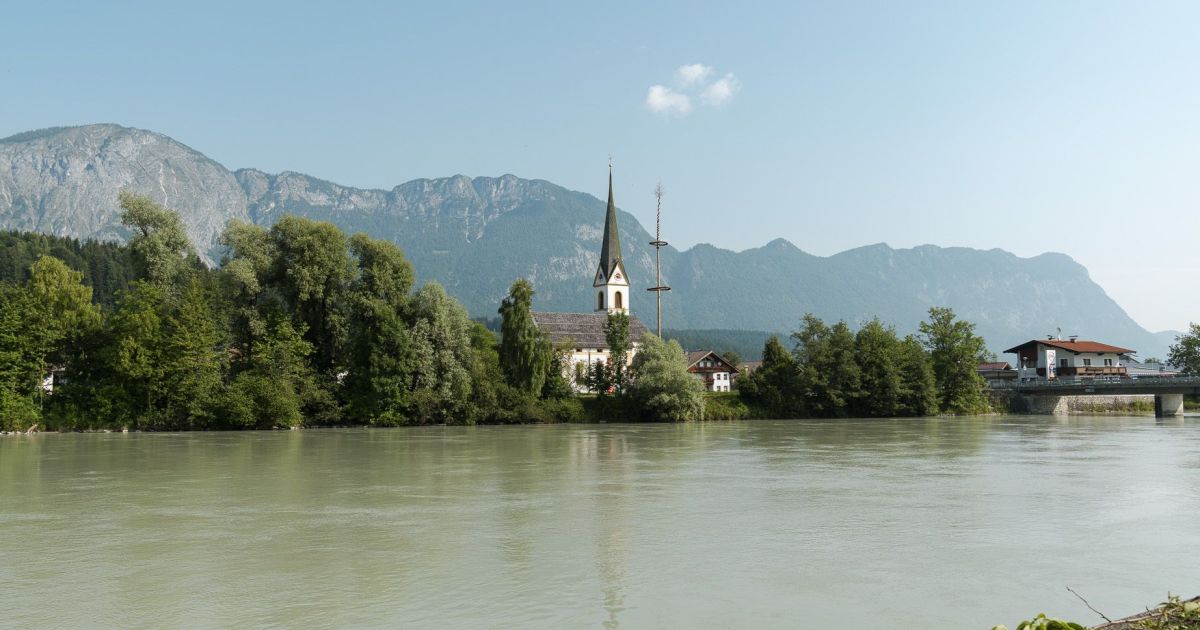
A small village on the north bank of the Inn just outside Wörgl at 500 m, fields between the river and the first Brandenberg Alps foothills.
- 15Highlights
- 9Routes
Highlights
All 15 from neighbouring places
Galerie am Stadtplatz
2.5 km away, in Wörgl
An art gallery on the town square of Wörgl, staging changing exhibitions of regional and contemporary work.
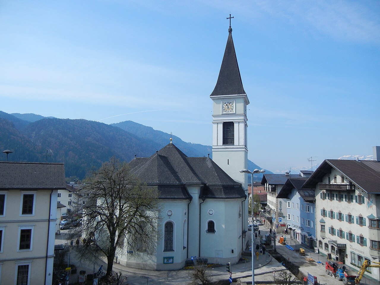
Stadtpfarrkirche Wörgl
2.8 km away, in Wörgl
The main parish church of Wörgl, serving the Inn valley town that grew around the rail junction between Innsbruck and Kitzbühel.
Almgasthof Möslalm
4.4 km away, in Wörgl
An alm inn in the hills above Wörgl in the Kitzbüheler Alpen, a walking destination serving traditional Tyrolean food on the mountain pastures.
Ruine Rudersburg
4.4 km away, in Langkampfen
The scant remains of a small castle in the Thiersee area of the Kufsteinerland, reached on woodland walking paths.
Hundalm Eis- und Tropfsteinhöhle
4.5 km away, in Angerberg
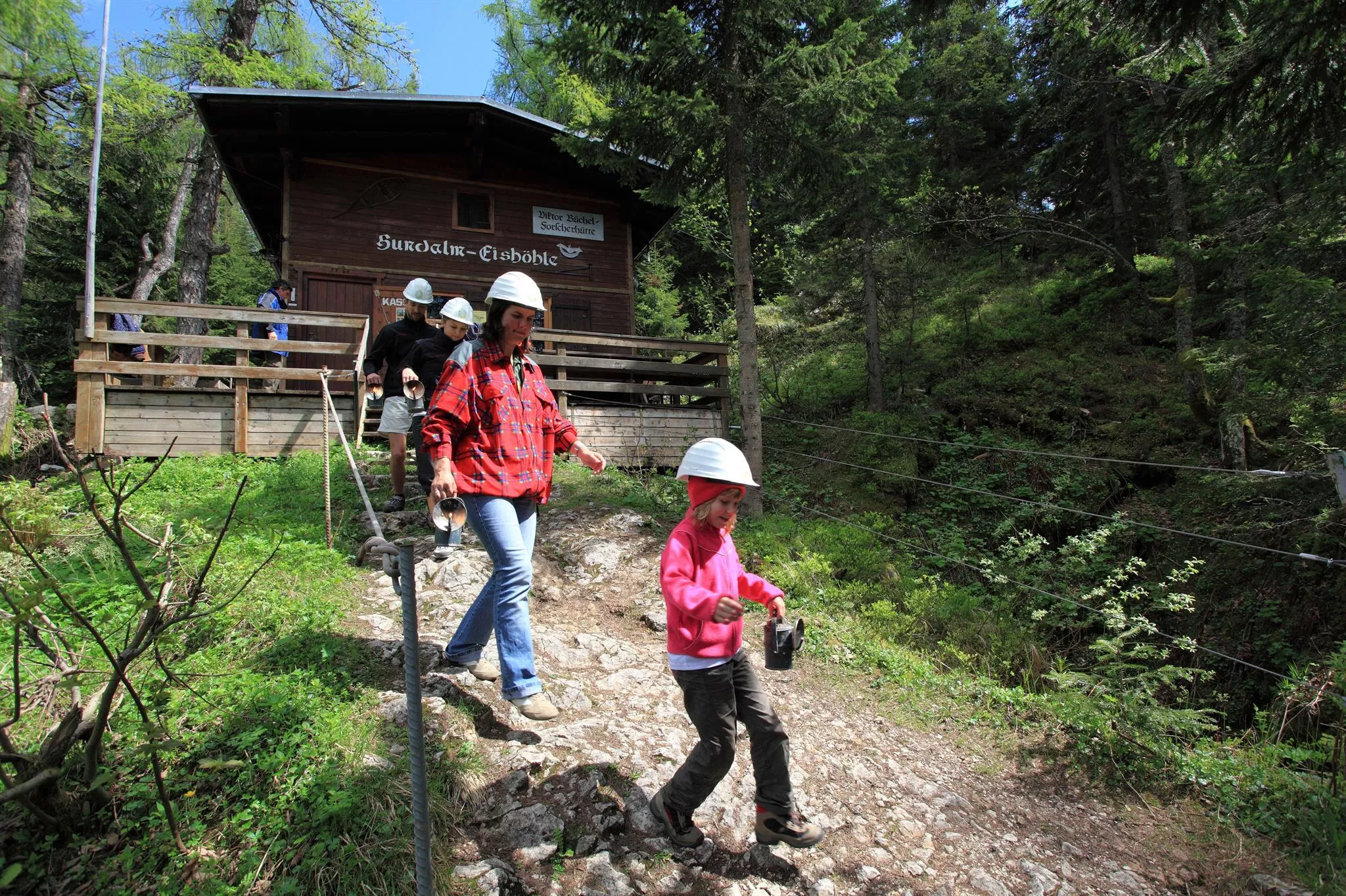
An ice and dripstone cave on the Hundalm above Angerberg, reached on foot and shown on guided tours during the summer months.
Höhlensteinhaus Almgasthaus
4.9 km away, in Langkampfen
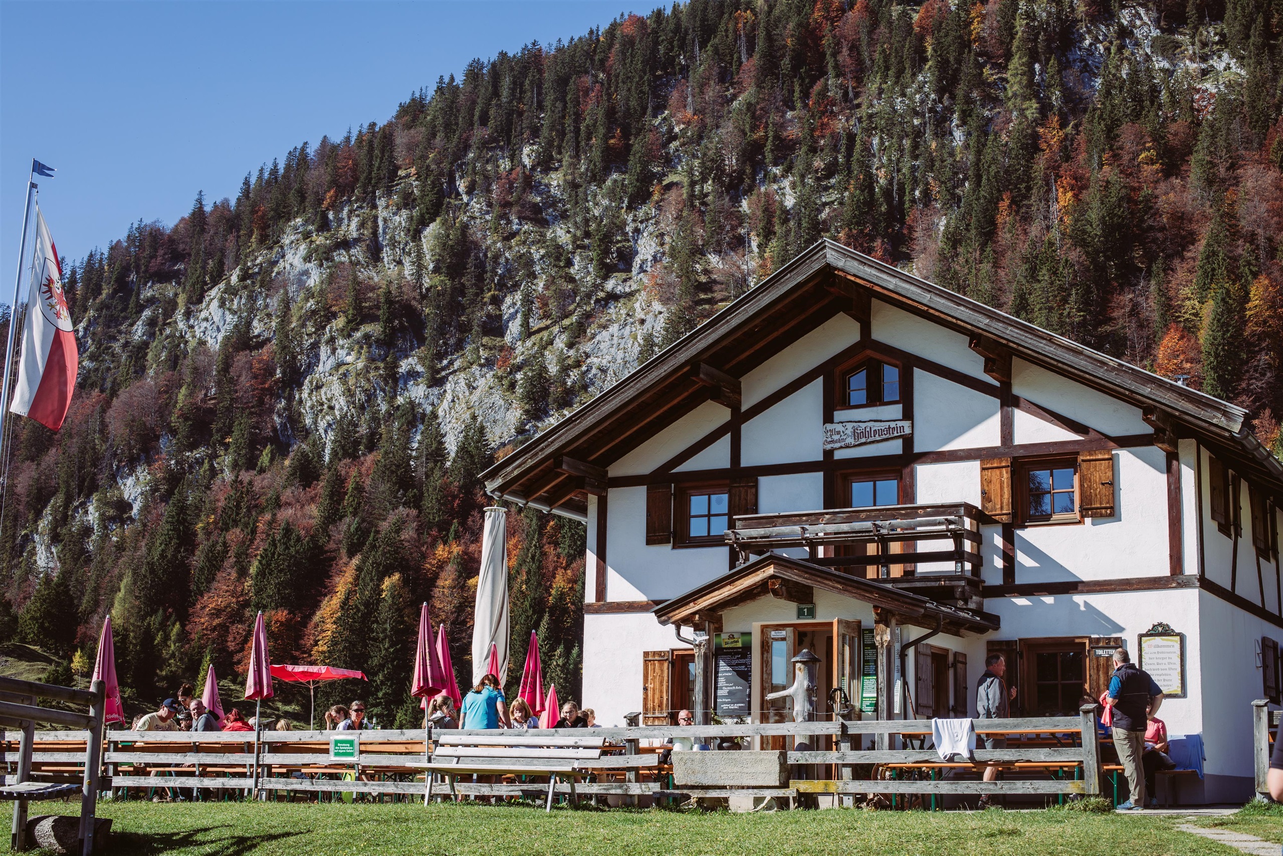
An alm inn on the Höhlenstein above Langkampfen, reached on foot or by bike, serving hut fare with views over the Inn valley.
Pendlinghaus
8 km away, in Langkampfen
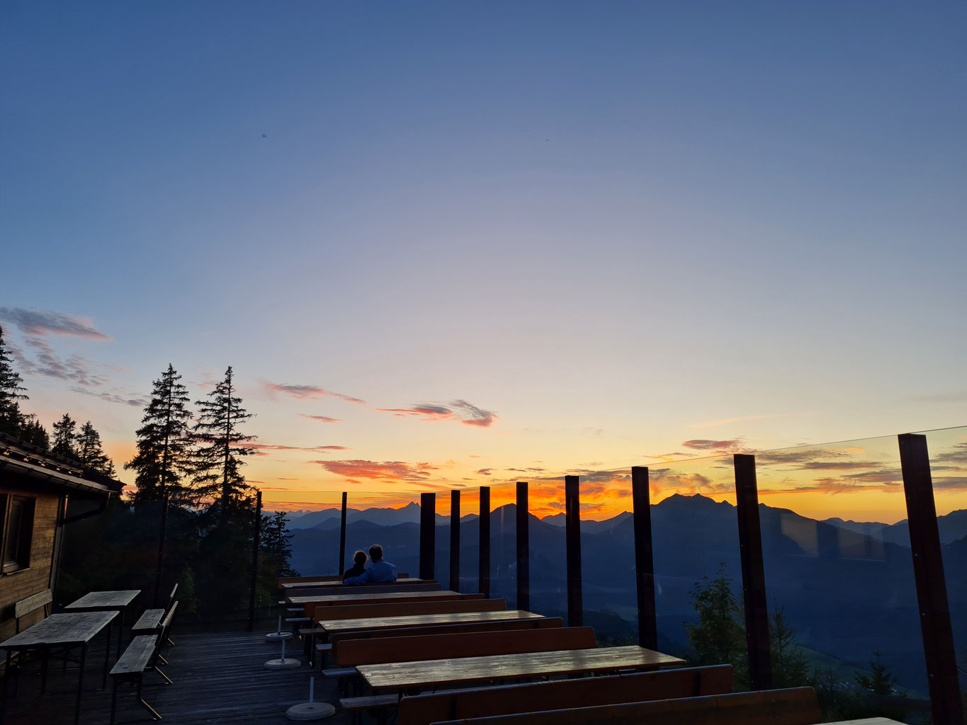
A hut just below the summit of the Pendling, the local mountain west of Kufstein, with a broad view over the Inn valley and the town.
Haslacher Moor
3.5 km away, in Bad Häring
A small bog near Bad Häring in the Kufsteinerland, a protected wetland crossed by local walking routes.
Dattlkapelle
4 km away, in Breitenbach am Inn
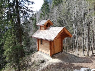
A farm chapel known as the Dattlkapelle near Breitenbach am Inn, part of the dense chapel landscape of the lower Inn valley.
Bildhauerei Ruprechter
4.2 km away, in Breitenbach am Inn
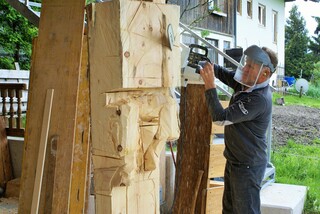
The Ruprechter sculpture workshop in Breitenbach am Inn, producing carved and hewn work for churches, farms and private clients.
Erlebnis der Sinne
4.6 km away, in Bad Häring
A sensory trail near Bad Häring, with stations inviting visitors to touch, listen and look as they walk through the woodland.
Thaler Kapelle
4.9 km away, in Breitenbach am Inn
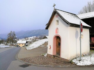
A farm chapel at Thal near Breitenbach am Inn, serving the scattered farms on the northern terraces of the Inn valley.
Jausenstation Zauberwinkl
5.3 km away, in Wildschönau
A snack station on the slopes of the Wildschönau serving simple Tyrolean fare to walkers; the name means roughly 'magic corner'.
Häringer Erdfeuerplatz
5.3 km away, in Bad Häring
A site at Bad Häring recalling the 'earth fires' of its coal-mining past, where escaping gas is said to have burned from the ground.
Gattererkapelle
5.6 km away, in Breitenbach am Inn
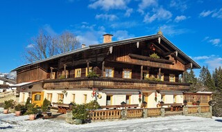
A farm chapel at the Gatterer farmstead near Kleinsöll in Breitenbach am Inn, built and kept by the farming family.

 Historic site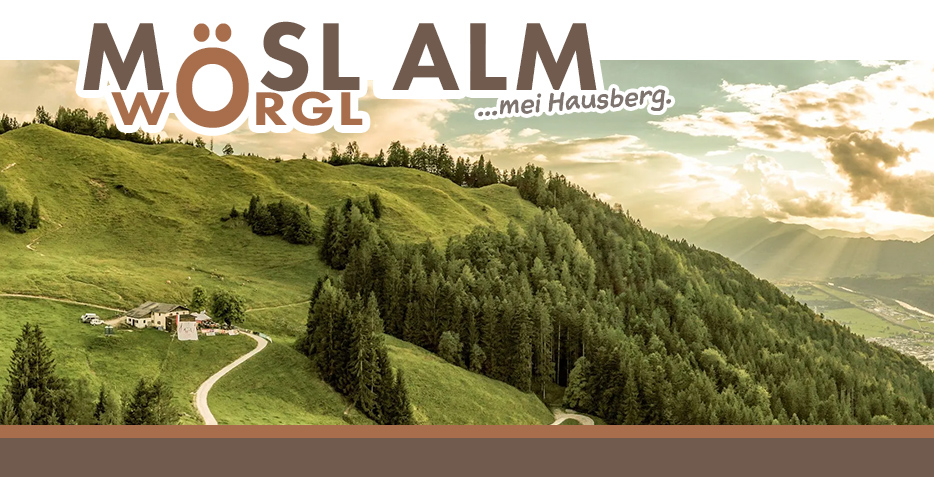
Nothing of this kind in Angath.
Routes
11 from neighbouring places
Regionsweg über Angath
Easy stretch of the regional walking network above the Inn near Wörgl, crossing Angath's sunny terrace and passing the Kapelle Kreith.
- 6.2 km
- Distance
- 219 m
- Ascent
- 2 h
- Duration
- 2
- Check-ins
Innradweg Kufstein - Hall
A near-level valley route along the Inn between Kufstein and Hall in Tirol, following the river past Kundl, Rotholz and Pill.
- 72.3 km
- Distance
- 90 m
- Ascent
- 6 h 28 min
- Duration
- 4
- Check-ins
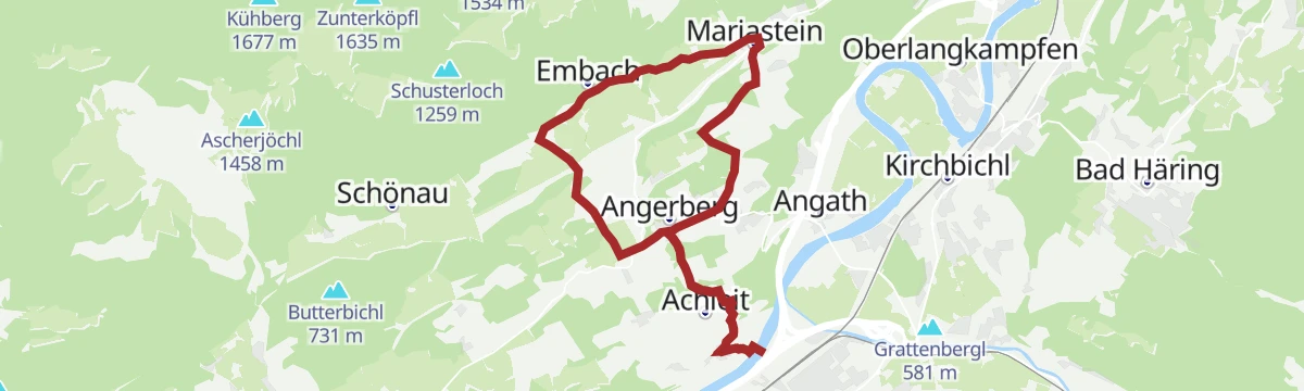
Rundfahrt zur Wallfahrtskirche Mariastein
A short family loop across the Angerberg terrace to the pilgrimage church, returning by the Brudersdorfer Kapelle and Endstrasshof.
- 15.0 km
- Distance
- 381 m
- Ascent
- 1 h 41 min
- Duration
- 5
- Check-ins
16 - Radmarathon Seenrunde
A long-distance road circuit from the Angerberg terrace down to the bathing lakes near Kramsach and back by way of Mariastein.
- 94.3 km
- Distance
- 1 610 m
- Ascent
- 9 h 53 min
- Duration
- 42
- Check-ins
Innrunde
Flat riverside loop at Angath along the Inn's embankment paths — a stroller-friendly walk with mountain views and barely a metre of climbing.
- 2.9 km
- Distance
- 6 m
- Ascent
- 42 min
- Duration
Rennrad 03 Angerberg
A road tour from the lakes at Kramsach onto the terrace above the lower Inn valley, returning through Rattenberg and Brixlegg.
- 59.3 km
- Distance
- 473 m
- Ascent
- 5 h 42 min
- Duration
- 33
- Check-ins
C - Das Inntal entdecken
A valley cycle tour out of Kufstein along the Inn, looping up past the Strillinger Stausee before turning back to town.
- 31.1 km
- Distance
- 294 m
- Ascent
- 3 h 2 min
- Duration
- 14
- Check-ins
 Tourist Information Kufstein 486 m
- Fernheizwerk Kufstein 488 m
 Lurchweiher 484 m
- TVB 586 m
- Strillinger Stausee 524 m
14 - Radmarathon Panoramarunde
A road circuit on the terraces above the Inn between Kufstein and Mariastein, passing the Strillinger Stausee and the Lurchweiher.
- 47.4 km
- Distance
- 672 m
- Ascent
- 4 h 50 min
- Duration
- 9
- Check-ins
- Infopoint Angerberg/Mariastein 647 m
- Lurchweiher 484 m
- Strillinger Stausee 524 m
- Tiroler Fliegerstube 486 m
- Metallveredelung Huber 486 m
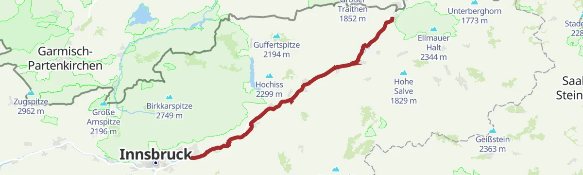
Innradweg - Tiroler Unterland - Radwanderroute 2
A long day on the Inn valley cycle route, running downstream from Innsbruck through Hall in Tirol to Rattenberg, Brixlegg and Kundl.
- 99.6 km
- Distance
- 95 m
- Ascent
- 8 h 58 min
- Duration
- 5
- Check-ins
Kapellenrundwanderung
2 km away, in Angerberg
Chapel-to-chapel round on the Angerberg-Mariastein plateau, connecting wayside churches on farm lanes with the Kaisergebirge across the valley.
- 7.1 km
- Distance
- 143 m
- Ascent
- 2 h 1 min
- Duration
- 2
- Check-ins
Jakobsweg ab Breitenbach
2.5 km away, in Angerberg
A 25 km leg of the Tyrolean Jakobsweg from Breitenbach along the Inn, passing the Badesee Badl and a woodcutters' hut on the way toward Rattenberg.
- 25.3 km
- Distance
- 342 m
- Ascent
- 6 h 50 min
- Duration
- 2
- Check-ins
- Tourismusinformation Rattenberg-Radfeld-Brixlegg 516 m
- Holzfällerhütte 577 m
- Badesee Badl 504 m
Rundweg Möslalm - Pfaffenberg (MTB 337)
4.9 km away, in Wörgl
A circuit on the wooded hills above Wörgl over the Riederberg, with the Almgasthof Möslalm at the high point of the loop.
- 9.7 km
- Distance
- 528 m
- Ascent
- 1 h 26 min
- Duration
- 9
- Check-ins
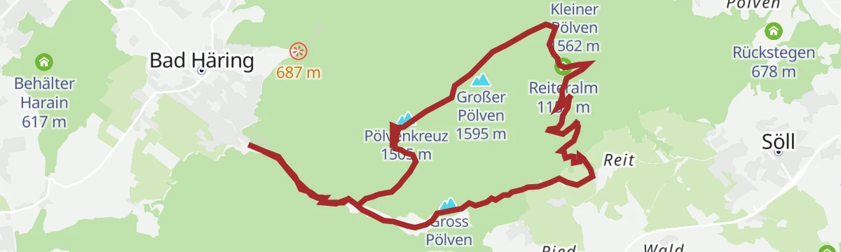
Umgebung: Prof.-Sinwel-Steig
5.1 km away, in Bad Häring
Cabled route named after the local historian Prof. Sinwel and also called the Lengerer Steig, climbing over the Mittagskogel to the Großer Pölven above the Inntal.
- 13.0 km
- Distance
- 1 203 m
- Ascent
- 9 h 31 min
- Duration
- 10
- Check-ins
Radverbindung zwischen Thiersee und Langkampfen
9.1 km away, in Langkampfen
A short forest-road link over the Dreibrunnenjoch, joining the Thiersee basin to the Inn valley at Langkampfen.
- 5.8 km
- Distance
- 286 m
- Ascent
- 48 min
- Duration
- 3
- Check-ins
Skitourengebiet Ackern
10.5 km away, in Thiersee
Broad ski-touring area around the Ackernalm above Thiersee, where rolling pasture ridges let strong tourers tick several summits in a day.
- 22.5 km
- Distance
- 2 465 m
- Ascent
- 2 465 m
- Descent
- 9 h 11 min
- Duration
Klettersteig am Reintalersee
13 km away, in Kramsach
Via ferrata above the Reintalersee near Kramsach, combining a lakeside approach past the Fischerstube with a wired climb in the crags over the water.
- 4.7 km
- Distance
- 410 m
- Ascent
- 3 h 19 min
- Duration
- 16
- Check-ins
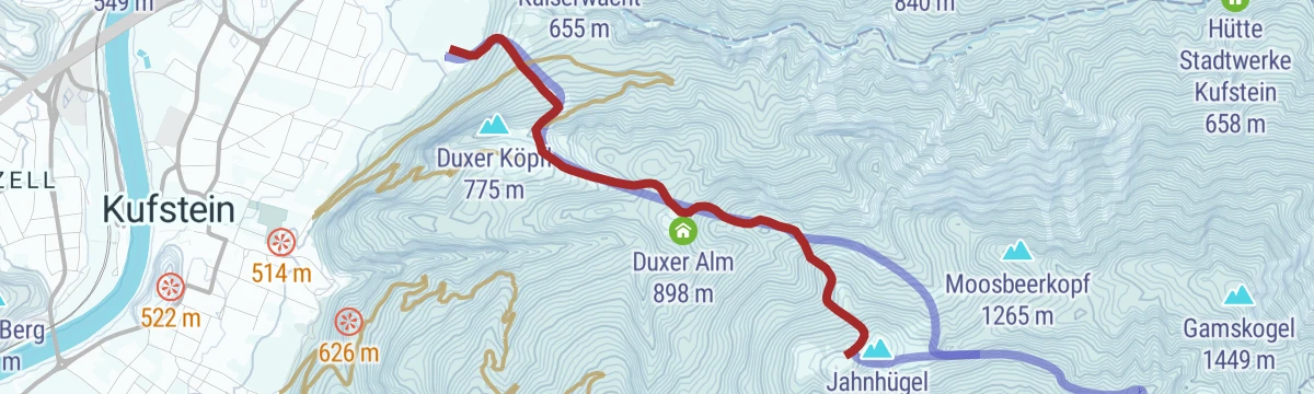
Skitour Brentenjoch
13.4 km away, in Kufstein
Short, popular ski tour from Kufstein up the Stadtberg past the Duxer Alm to the Brentenjoch, with the Weinbergerhaus just below the top for a stop.
- 3.0 km
- Distance
- 753 m
- Ascent
- 753 m
- Descent
- 2 h 20 min
- Duration
- 32
- Check-ins
Radwanderweg Wilder Kaiser Nr. 14
1.9 km away, in Wörgl
A waymarked route along the southern foot of the Wilder Kaiser, from the Inn valley at Bruckhäusl up to Ellmau at around 800 m.
- 38.1 km
- Distance
- 473 m
- Ascent
- 3 h 46 min
- Duration
- 17
- Check-ins
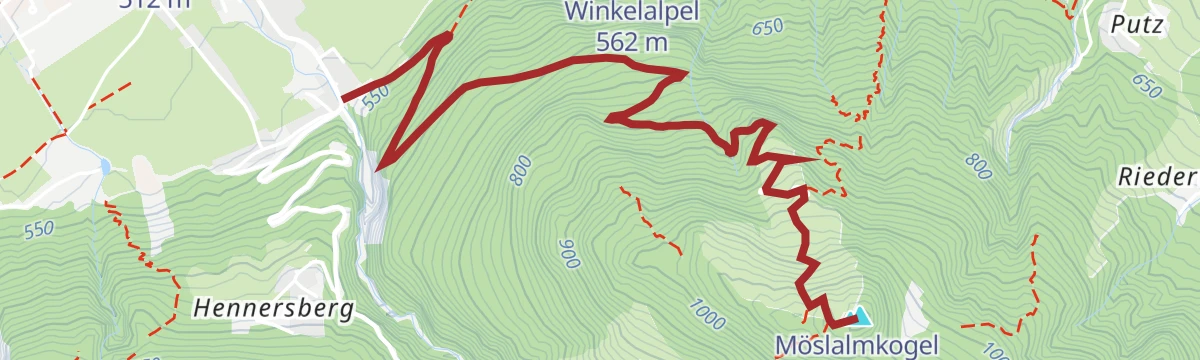
Bike & Hike Möslalmkogel
4 km away, in Wörgl
A short, steep ride up to the Almgasthof Möslalm at 960 m, from where the summit cross above is reached on foot.
- 4.1 km
- Distance
- 571 m
- Ascent
- 1 h 16 min
- Duration
- 19
- Check-ins
Regionsweg über Angerberg
0.9 km away, in Angerberg
Easy regional path across the Angerberg plateau, linking the Infopoint with the Brudersdorfer Kapelle on quiet lanes high above the Inn valley.
- 6.2 km
- Distance
- 190 m
- Ascent
- 1 h 55 min
- Duration
- 5
- Check-ins







No routes of this kind in Angath yet.
Planning a trip to Angath?
Everything else Tyrol has, in one place


Take Angath with you into the mountains
Every route on this page with 3D terrain, GPX navigation and offline maps — including the valleys with no signal.
Data sources
- Official website: kitzbueheler-alpen.com ↗
- Routes and highlights: Kitzbüheler Alpen Tourismus, Kufsteinerland, Alpbachtal Tourismus, Wilder Kaiser Tourismus, Region Hall-Wattens, Kaiserwinkl Tourismus
- Published as open data by the tourist boards named above.
- Region summary generated from the board's own material.
