
Curated by Dolomitiprealpi
Alpago
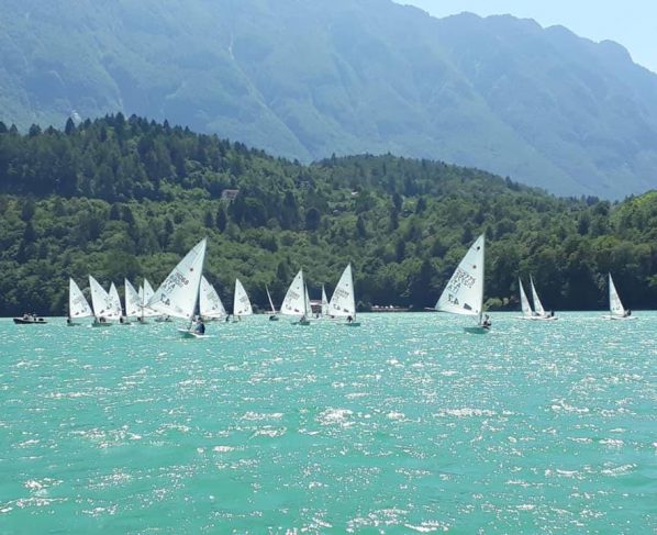
The comune around Lago di Santa Croce east of Belluno, a windsurfing water below the Cansiglio.
- 8Highlights
- 9Routes
Highlights
7 from neighbouring places
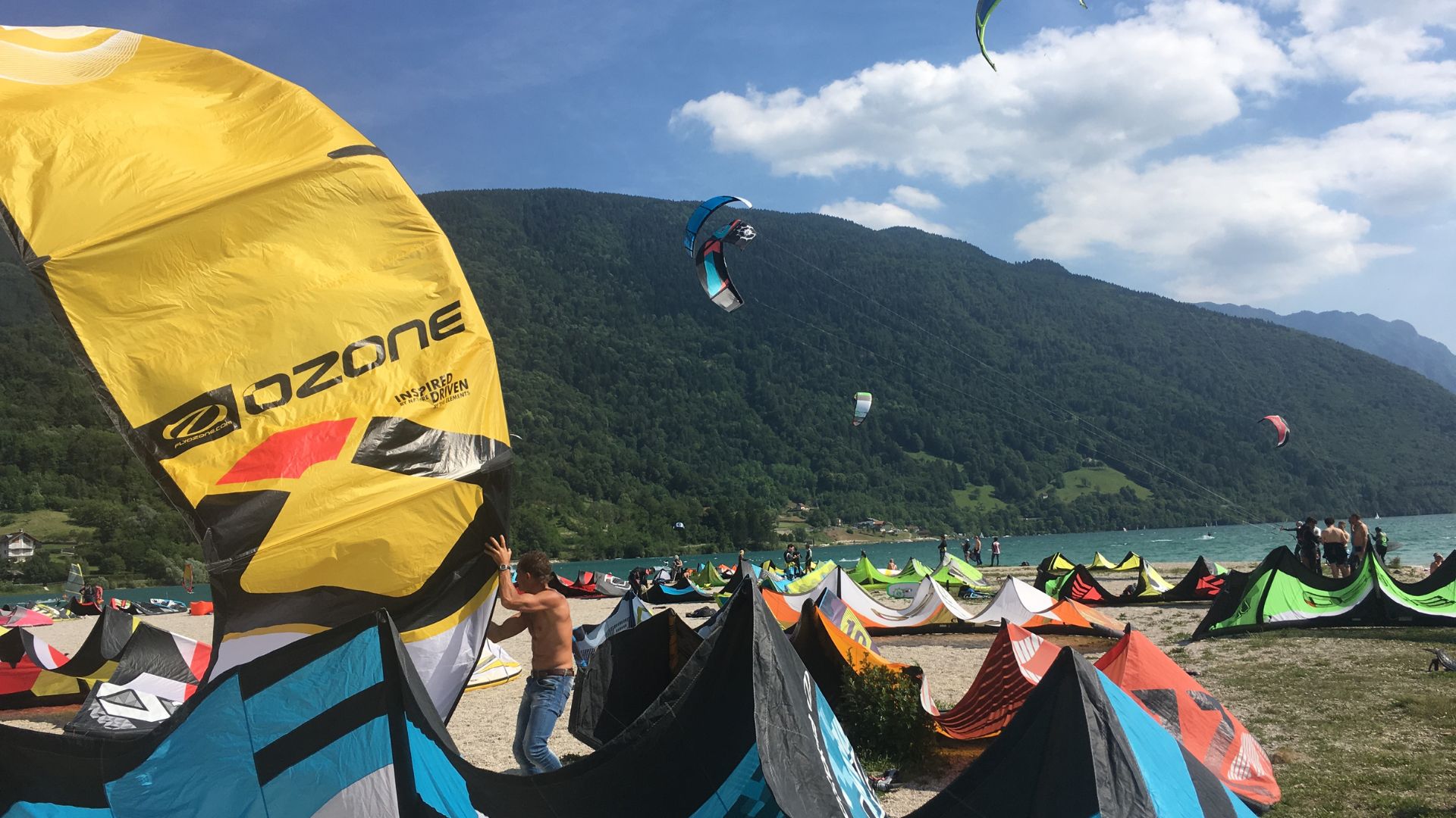
Dove il vento incontra l’acqua: Kite Surf e Windsurf sul Lago di Santa Croce
Lago di Santa Croce east of Belluno, whose steady afternoon wind makes it a kitesurfing and windsurfing water.
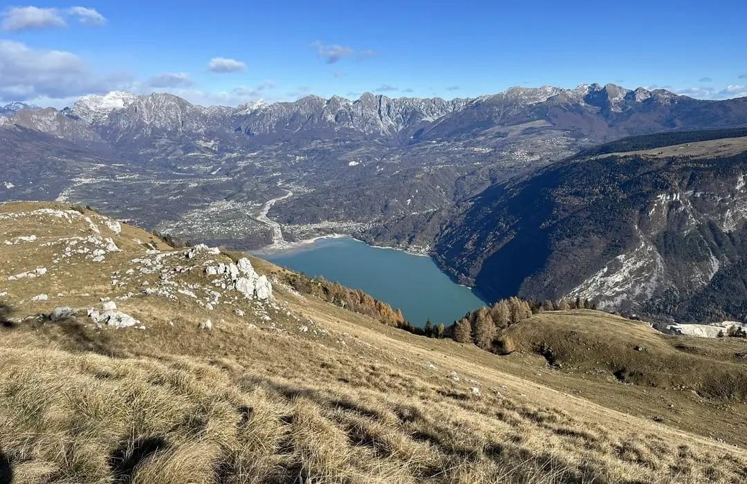
Lago di Santa Croce
A lake in the Alpago basin below the Nevegal ridge, known for the afternoon wind that draws sailors and windsurfers.
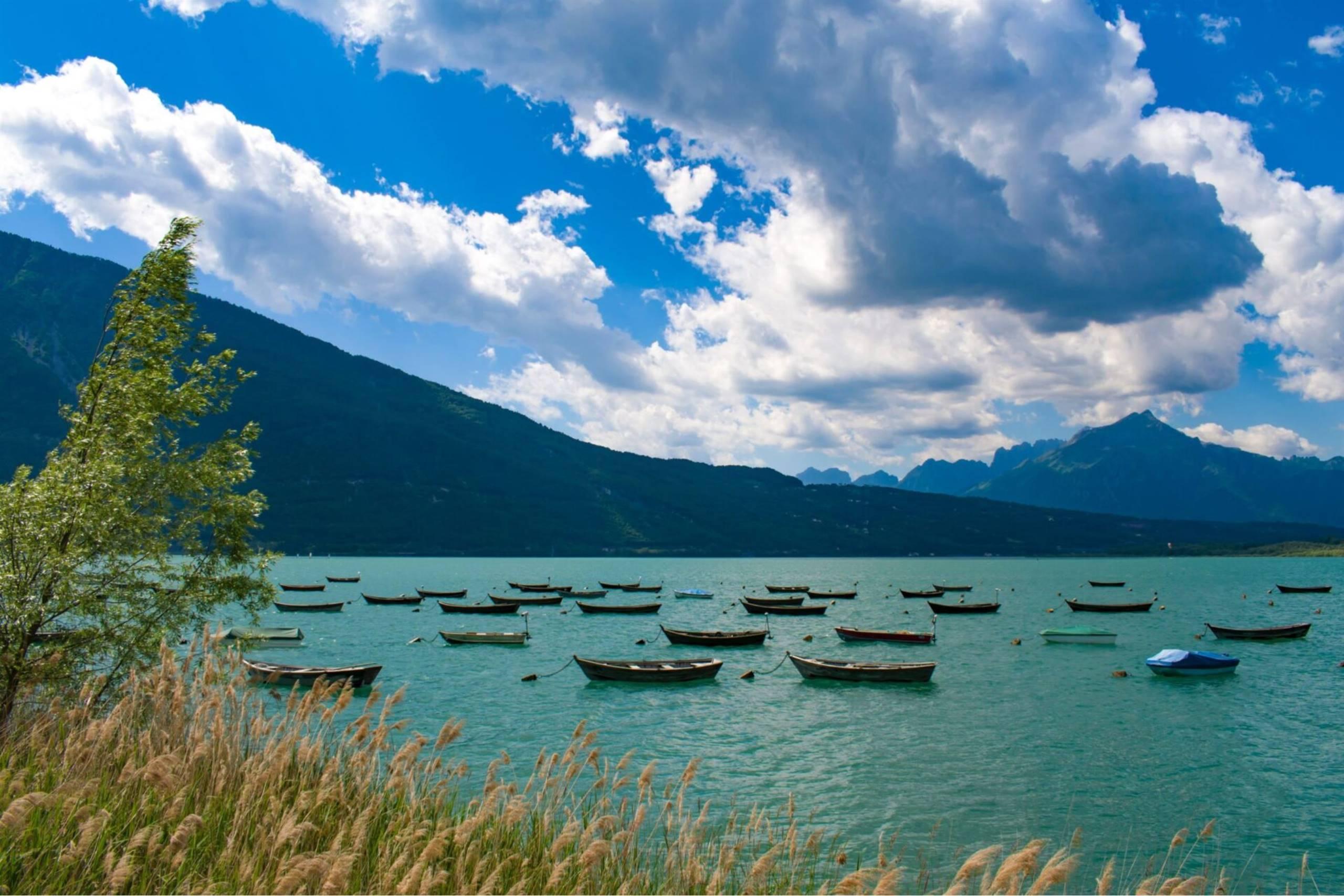
Pescare nel Lago di Santa Croce
The fishing waters of Lago di Santa Croce, the wind-swept lake filling the Alpago basin below the Nevegal ridge.
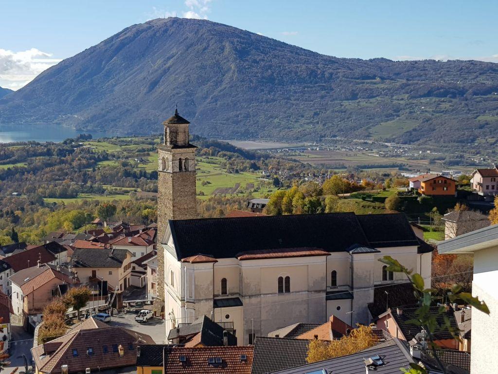
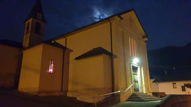
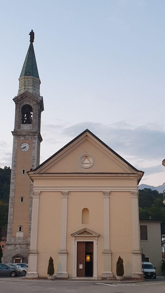
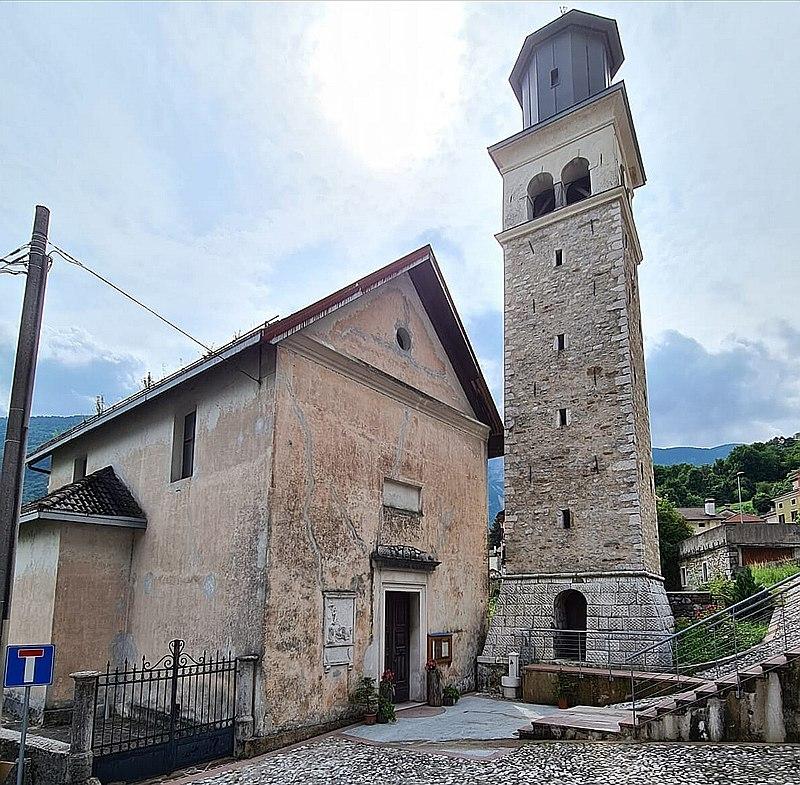
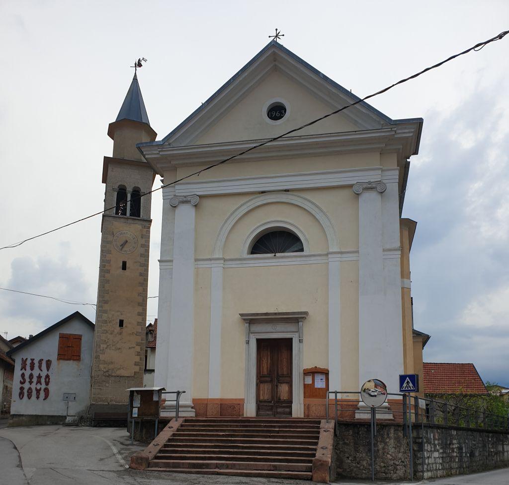
Chiesa della Madonna del Rosario
A church dedicated to Our Lady of the Rosary in the Alpago, the basin of small villages east of Lago di Santa Croce.
Chiesa di Cornei
A church at Cornei, one of the hillside hamlets of the Alpago, above Lago di Santa Croce.
Chiesa di San Bartolomeo Apostolo
A church dedicated to the apostle Bartholomew in the Alpago, in the hills between Lago di Santa Croce and the Cansiglio.
Chiesa di Santa Croce
A church at Santa Croce del Lago, on the shore of Lago di Santa Croce in the Alpago, below the Nevegal ridge.
Chiesa di Sitran-Bastia
A church serving the villages of Sitran and Bastia, on the slopes of the Alpago above Lago di Santa Croce.
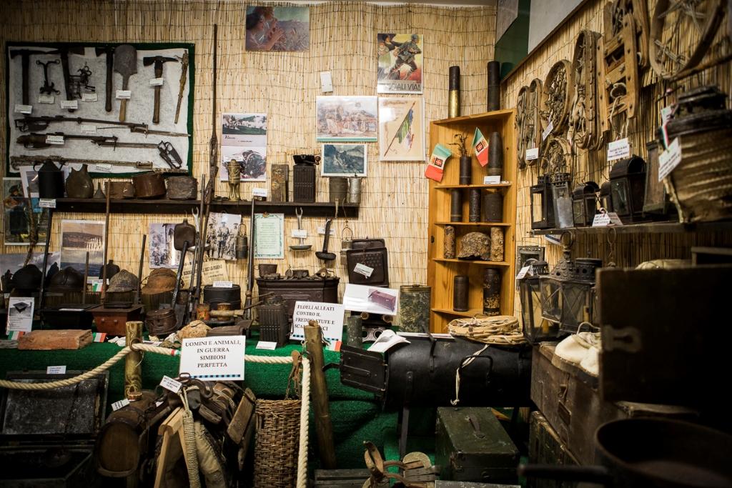
Museo di Storia Militare
5.1 km away, in Tambre
A military history museum at Tambre, the village on the edge of the Cansiglio plateau above the Alpago.
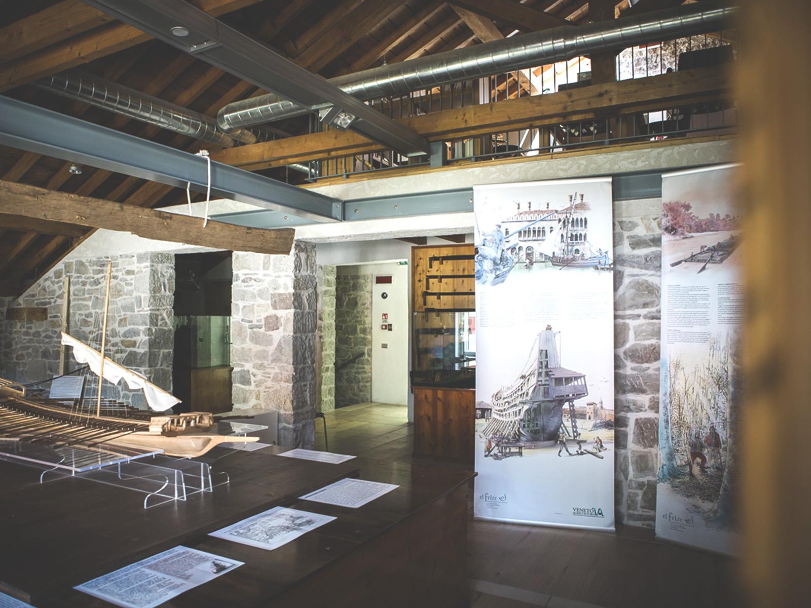
Museo regionale dell’Uomo in Cansiglio
7.1 km away, in Tambre
A regional museum on the Cansiglio plateau above Tambre, on the forest and the Cimbrian woodcutters who settled it.
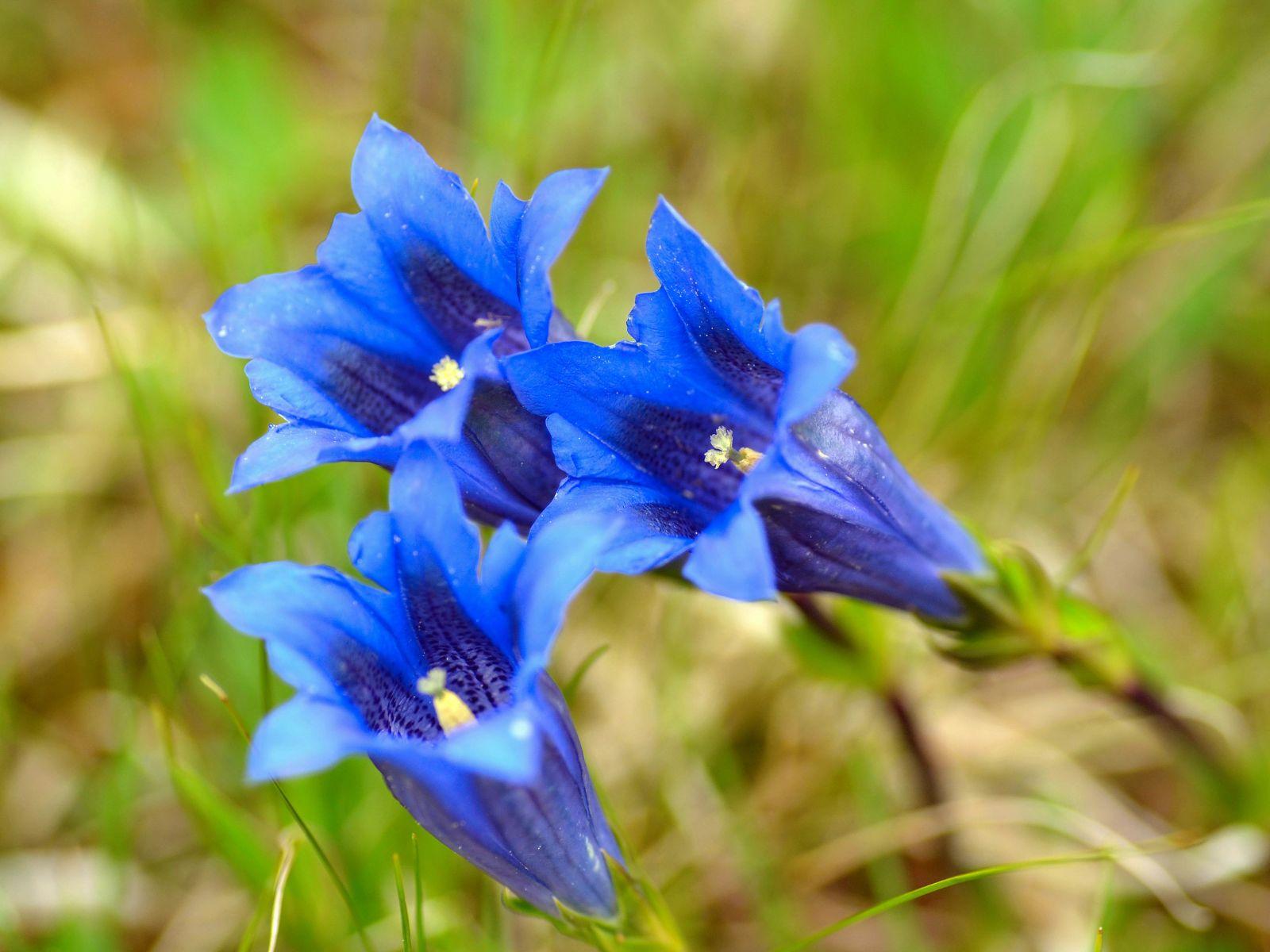
Giardino Botanico Delle Alpi Orientali- Riserva Naturale Integrale
8.1 km away, in Belluno
A garden of eastern Alpine plants on Monte Faverghera, in the Nevegal above Belluno, set within a strict nature reserve.
Museo Naturalistico “Giovanni Zanardo”
8.5 km away, in Tambre
A natural history museum at Tambre, on the edge of the Cansiglio forest in the Alpago, holding local plant and animal collections.
Chiesa di San Giovanni Bosco
9.4 km away, in Belluno
A church dedicated to Saint John Bosco in Belluno, on the floor of the Piave valley below the Dolomites.
Chiesa di Santa Maria dei Battuti
9.4 km away, in Belluno
A confraternity church of the Battuti, the flagellants, in Belluno, in the Piave valley below the Dolomites.
Museo Casa dell’Alchimista
10.1 km away, in Tambre
A museum in an old village house at Tambre, in the Alpago above Lake Santa Croce, devoted to alchemy.
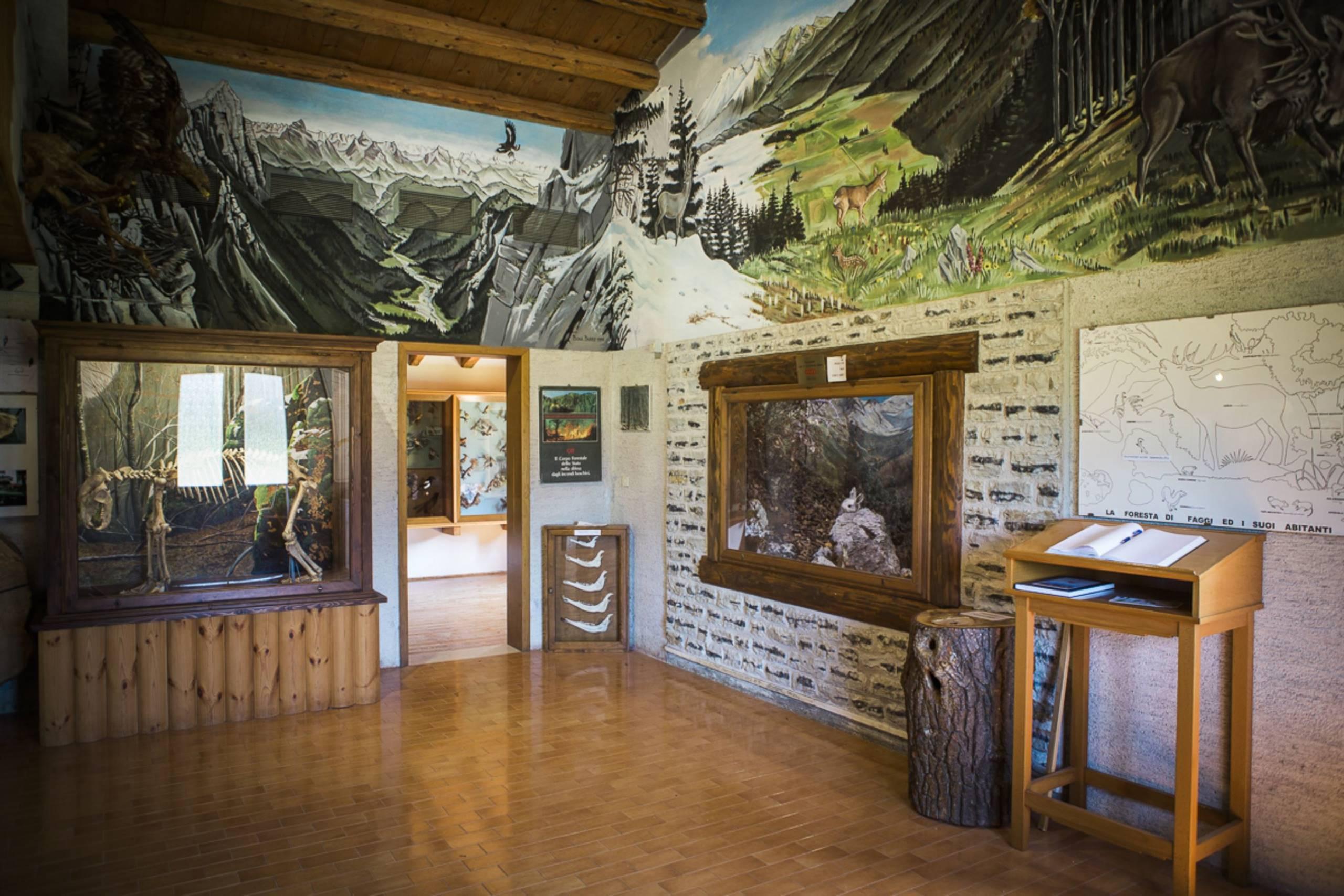
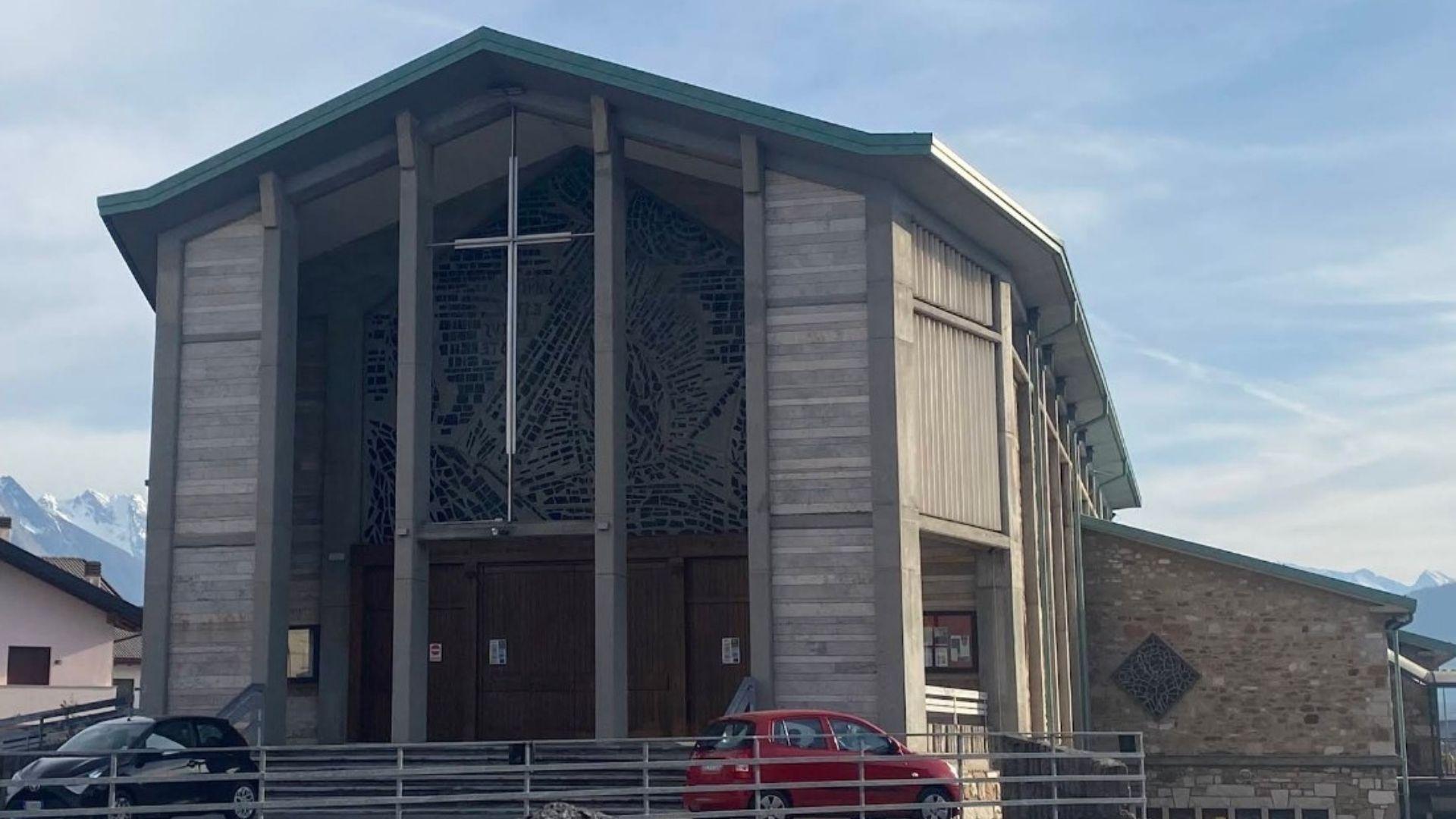
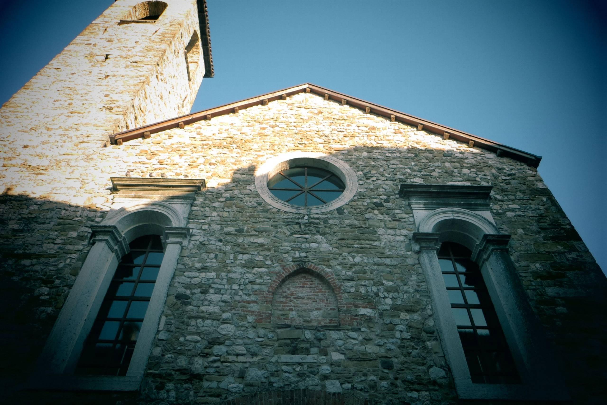

Nothing of this kind in Alpago.
Routes
11 from neighbouring places
Cansiglio ring (short version)
A short version of the Cansiglio ring, starting at Sant'Osvaldo and crossing the plain's beech woods, spruce plantations and grazing clearings.
- 8.4 km
- Distance
- 230 m
- Ascent
- 2 h 32 min
- Duration
- 10
- Check-ins
Open route Dolomiti Bellunesi - The Mountains of VeniceCansiglio ring (long version)
The full circuit of the Cansiglio forest on wide forest tracks, usually started at the Passo della Crosetta and running by way of Candaglia.
- 16.0 km
- Distance
- 366 m
- Ascent
- 4 h 39 min
- Duration
- 22
- Check-ins
 Capanna Genziana 1 019 m
- Centro Educazione Naturalistica Casa Vallorch 1 060 m
- Rifugio Alpino Vallorch 1 085 m
Open route Dolomiti Bellunesi - The Mountains of VeniceBIKE TOUR - MTB HIGH ALPAGO
A long circuit above Alpago on road and dirt, climbing to the Val Salatis and linking the casere of the Cansiglio from Pian Grand to Antander.
- 42.4 km
- Distance
- 1 895 m
- Ascent
- 5 h 33 min
- Duration
- 45
- Check-ins
- Malga "Pian Grand" 1 213 m
- Malga Pian de le Lastre 1 272 m
- Casera Crosetta 1 166 m
- Casera Fedarole 1 262 m
- Casera Cruden 1 122 m
- Casera Stabalì 1 050 m
- +1
Open route Dolomiti Bellunesi - The Mountains of VeniceRing of Cansiglio Bike Tour
A paved road loop around the Cansiglio plateau from Campon over the Passo Crosetta, taking in Monte Pizzoc and the Rifugio Maset.
- 58.5 km
- Distance
- 1 517 m
- Ascent
- 6 h 37 min
- Duration
- 49
- Check-ins
 Monte Pizzoc 1 567 m
- Rifugio Sant'Osvaldo 1 015 m
 Passo Crosetta 1 127 m
- Casa Forestale della Candaglia 1 267 m
- Malga Cercenedo 1 141 m
- Malga Sponda Alta 1 209 m
- +3
Open route Dolomiti Bellunesi - The Mountains of VenicePoiatte Nordic Walking Loop - Madonna del Runal
A loop from the shore of Lake Santa Croce at Poiatte, climbing the Mezzomiglio road above Farra d'Alpago to the Madonna del Runal.
- 9.8 km
- Distance
- 426 m
- Ascent
- 3 h 21 min
- Duration
- 1
- Check-ins
Open route Dolomiti Bellunesi - The Mountains of VeniceGiro delle Maghe -Tambre d'Alpago
A loop of the Tambre dairies in the Alpago, among forest, high pasture and old alpine huts.
- 31.7 km
- Distance
- 1 055 m
- Ascent
- 3 h 49 min
- Duration
- 44
- Check-ins
- Col Saler 996 m
- Malga "Pian Grand" 1 213 m
- Malga Pian de le Lastre 1 272 m
- Malga Cate 1 060 m
- Malga Illary 1 019 m
Open route Dolomiti Bellunesi - The Mountains of VeniceBike tour Palantina Freeride
A ride from Col Indes above Tambre up to Casera Palantina at 1,600 m, then a long drop of over a kilometre to Farra d'Alpago.
- 37.0 km
- Distance
- 1 160 m
- Ascent
- 4 h 23 min
- Duration
- 41
- Check-ins
- Malga "Pian Grand" 1 213 m
- Malga Pian de le Lastre 1 272 m
- Rifugio Sant'Osvaldo 1 015 m
- Dar Hutte Bon de Tzimbrise Loite 1 082 m
- Hangar Cansiglio 1 054 m
Open route Dolomiti Bellunesi - The Mountains of VeniceCansiglio
A cycling climb from Lake Santa Croce through forest hairpins onto the Cansiglio plateau, used by the 1966 Giro d'Italia stage to Vittorio Veneto.
- 20.0 km
- Distance
- 847 m
- Ascent
- 2 h 20 min
- Duration
- 28
- Check-ins
Open route Dolomiti Bellunesi - The Mountains of VeniceBIKE TOUR - FROM CALALZO DI CADORE TO SANTA CROCE LAKE
A valley run down the Piave on the Munich–Venice cycle way, from Cadore through Perarolo and Ospitale towards the Alpago lake.
- 49.3 km
- Distance
- 451 m
- Ascent
- 4 h 55 min
- Duration
- 2
- Check-ins
Open route Dolomiti Bellunesi - The Mountains of VeniceRoe Trail
5.1 km away, in Tambre
An easy circuit above Tambre on the Le Val trail, climbing out of the beech wood to the Sant'Anna road with the Belluno Dolomites in view.
- 6.2 km
- Distance
- 198 m
- Ascent
- 1 h 57 min
- Duration
Open route Dolomiti Bellunesi - The Mountains of VeniceVena d'Oro Ring
7.4 km away, in Belluno
A short circuit on the hill roads around Belluno, linking Sagrogna with Roncan, Vich and Piaia, then Lastreghe on the way back.
- 13.4 km
- Distance
- 352 m
- Ascent
- 1 h 32 min
- Duration
Open route MONTAGNA BELLUNESENevegal
11.6 km away, in Belluno
The steady climb from Belluno through the Prealp woods to the Nevegal plateau, a road with Giro d'Italia history since the stage finish of 1962.
- 17.3 km
- Distance
- 1 059 m
- Ascent
- 5 h 44 min
- Duration
- 18
- Check-ins
- Ristorante La Casera 1 396 m
- Slalom 1 051 m
- Ufficio Turistico di Belluno - IAT 385 m
- Residence Valbelluna 1 290 m
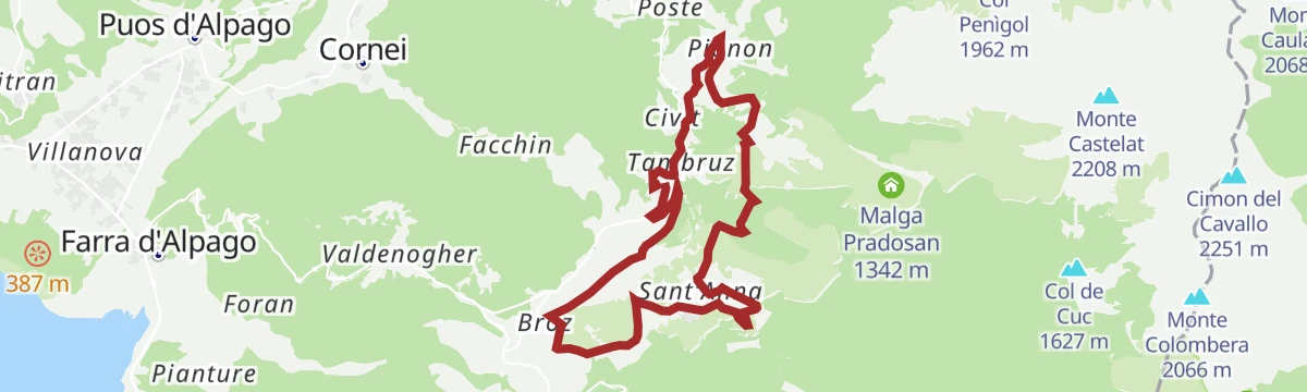
Open route Dolomiti Bellunesi - The Mountains of VeniceFagheron Tour - Tambre d'Alpago
5.1 km away, in Tambre
A loop around Tambre through Broz, Sant'Anna, Col Indes and Pianon, passing the Fagheron, an old beech that gives the walk its name.
- 12.4 km
- Distance
- 287 m
- Ascent
- 3 h 37 min
- Duration
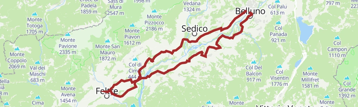
Open route Dolomiti Bellunesi - The Mountains of VeniceThe Val Belluna Ring: the places of biodiversity
11.6 km away, in Belluno
A two-day e-bike circuit from Belluno by way of Feltre, Mel and Limana, calling at small farms and hamlets along the Piave.
- 77.7 km
- Distance
- 616 m
- Ascent
- 7 h 28 min
- Duration
- 2
- Check-ins
- Ufficio Turistico di Belluno - IAT 385 m
- Ufficio Turistico di Feltre 289 m
- Area Prior 273 m
- Ufficio Informazioni di Mel 353 m
Open route MONTAGNA BELLUNESES'cios Trail
5.1 km away, in Tambre
A short link between Tambre and the hamlet of Tambruz, running just off the state road as a quieter way on foot or by bike.
- 1.3 km
- Distance
- 43 m
- Ascent
- 26 min
- Duration
Open route Dolomiti Bellunesi - The Mountains of VeniceMonte Serva
12 km away, in Belluno
A rough climb over the Tre Mas-ci ridge to the summit of Monte Serva, wild ground best left to experienced walkers.
- 9.5 km
- Distance
- 1 114 m
- Ascent
- 6 h 39 min
- Duration
- 28
- Check-ins
Deer troi
5.2 km away, in Tambre
A long walk from Tambre up the Le Val trail to the little church at Sant'Anna and on into the beech forest of the Cansiglio.
- 14.8 km
- Distance
- 576 m
- Ascent
- 4 h 54 min
- Duration
- 13
- Check-ins
Open route Dolomiti Bellunesi - The Mountains of VeniceAnello della Valbelluna
11.6 km away, in Belluno
A long ring out of Belluno on the Piave's right bank, over the Villiago rise and on through Sedico, Santa Giustina and Busche.
- 78.2 km
- Distance
- 676 m
- Ascent
- 7 h 35 min
- Duration
- 2
- Check-ins
- Ufficio Turistico di Belluno - IAT 385 m
- Ufficio Turistico di Feltre 289 m
- Area Prior 273 m
- Ufficio Informazioni di Mel 353 m
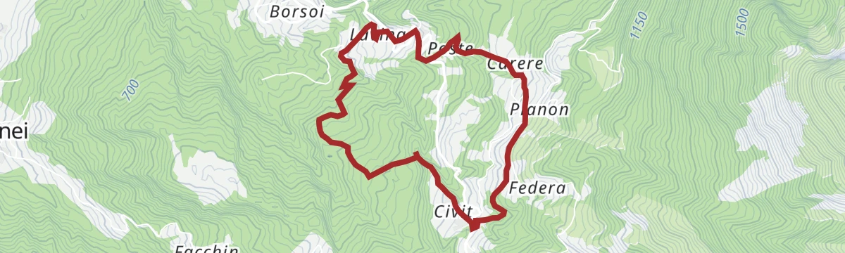
Open route Dolomiti Bellunesi - The Mountains of VeniceRispen Trail
5.4 km away, in Tambre
A loop from Pianon above Tambre on the old link road towards the Borsoia valley, once the way to the hay meadows and stables.
- 5.8 km
- Distance
- 291 m
- Ascent
- 2 h 7 min
- Duration
Open route Dolomiti Bellunesi - The Mountains of VeniceMount Serva
12 km away, in Belluno
From the end of the tarmac at Cargador, dirt road and then a path with long traverses lead onto the broad ridge, followed north to the top of Monte Serva.
- 9.5 km
- Distance
- 1 111 m
- Ascent
- 6 h 38 min
- Duration
- 28
- Check-ins
Open route CAI - Belluno





No routes of this kind in Alpago yet.
Planning a trip to Alpago?
Everything else Veneto has, in one place


Take Alpago with you into the mountains
Every route on this page with 3D terrain, GPX navigation and offline maps — including the valleys with no signal.
Data sources
- Official website: dolomitiprealpi.it ↗
- Routes and highlights: Dolomitiprealpi, Dolomiti Bellunesi - The Mountains of Venice, MONTAGNA BELLUNESE, CAI - Belluno
- Published as open data by the tourist boards named above.
- Region summary generated from the board's own material.
