
Curated by Vorarlberg Tourismus
Alberschwende
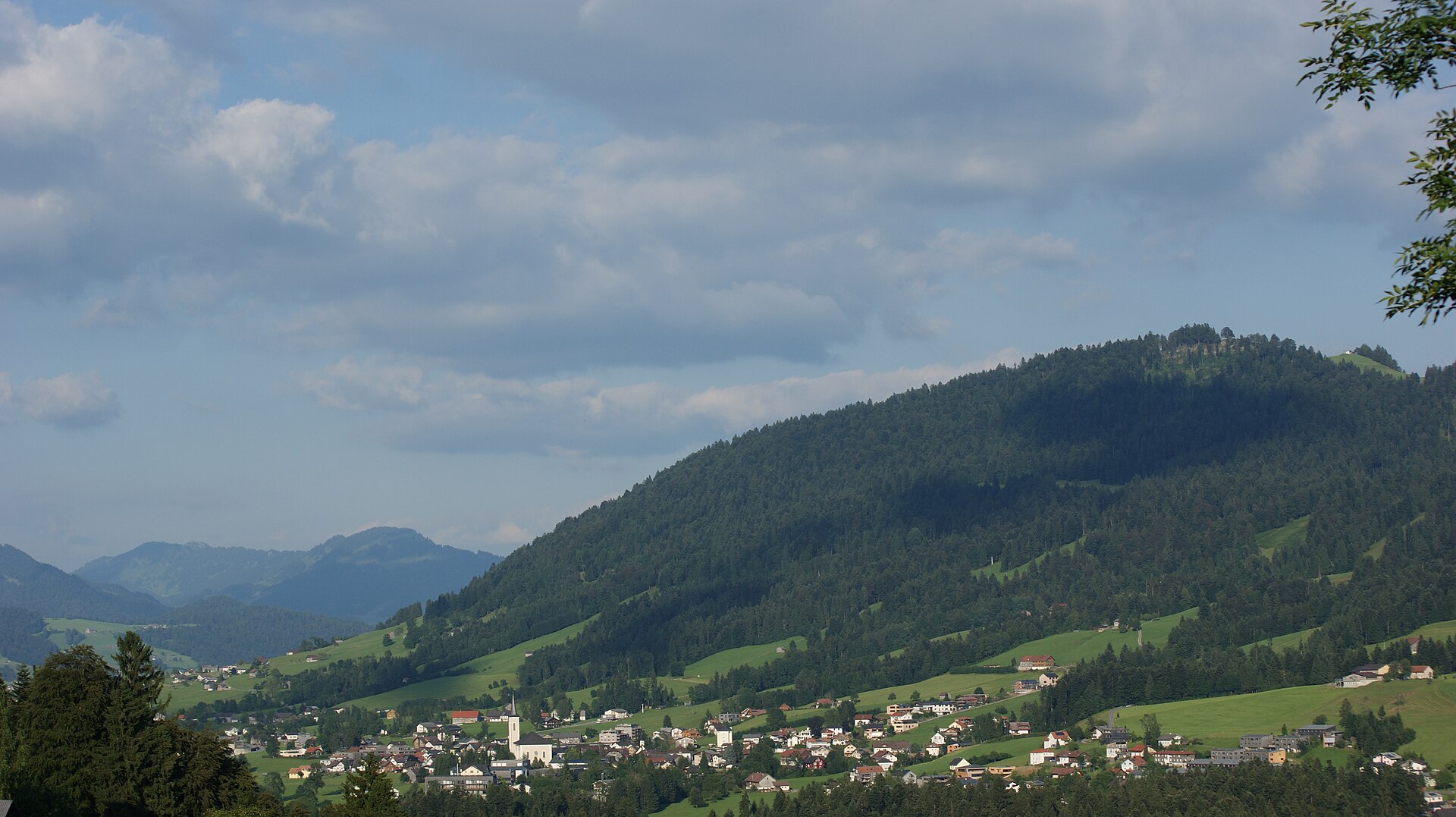
A sun terrace at the western entrance to the Bregenzerwald between 585 and 720 m, on the ridge road up from the Rheintal towards Egg.
Photo: Asurnipal · CC BY-SA 4.0 licence
- 3Highlights
- 21Routes
Highlights
12 from neighbouring places
Brüggelekopf
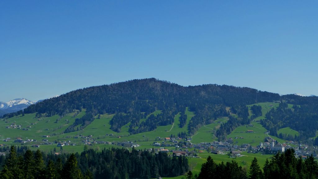
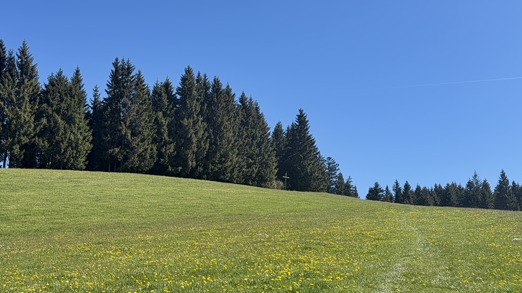
The village's own mountain at 1,182 m, a summit of the Bregenzerwald range reached from the old lift station.
Farnacher Moos
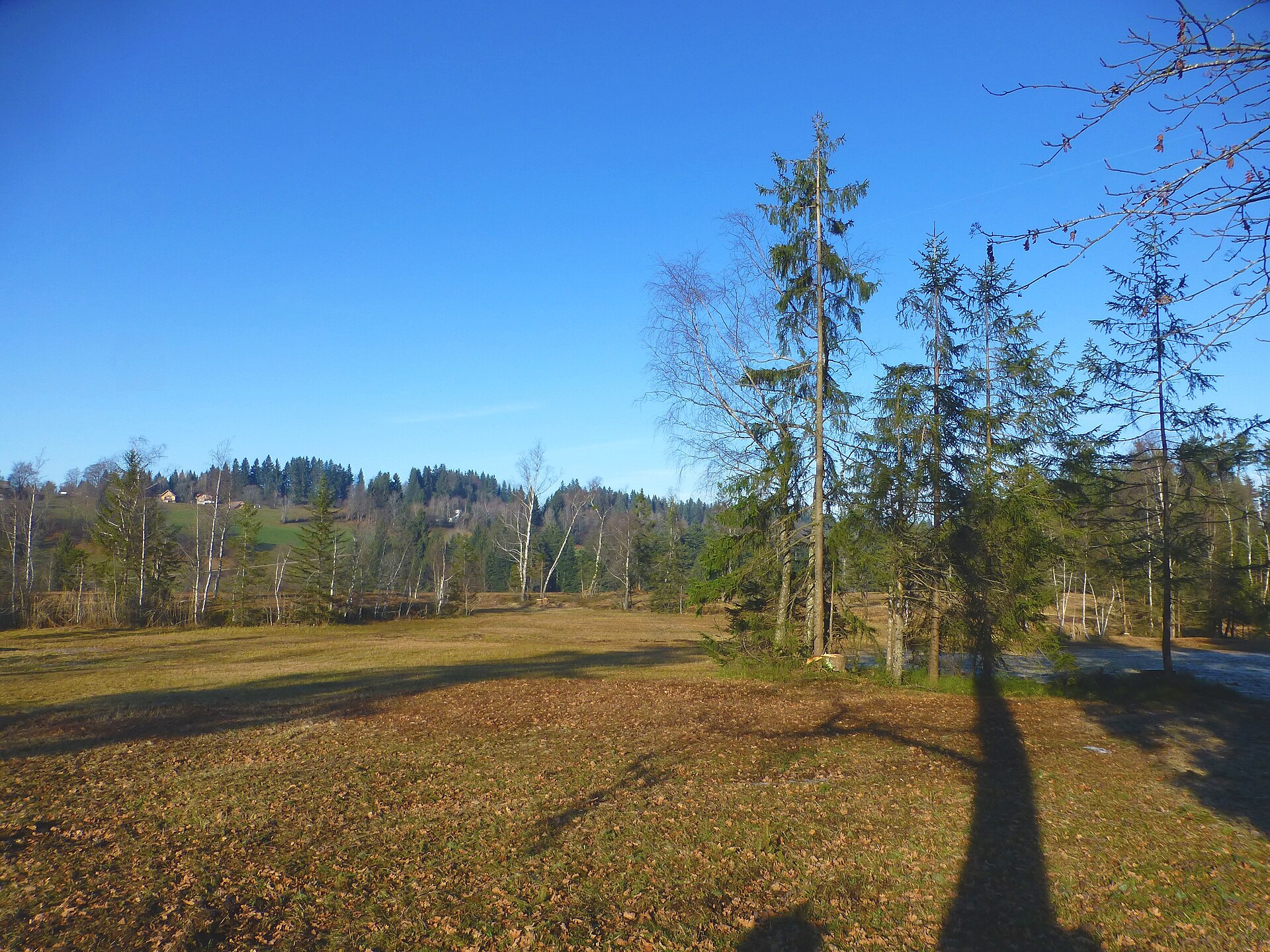
A protected bog on the low ground below the village, crossed by the walking route from Schwarzach.
PeakVisor / OpenStreetMapMuseum-Depot in Alberschwende
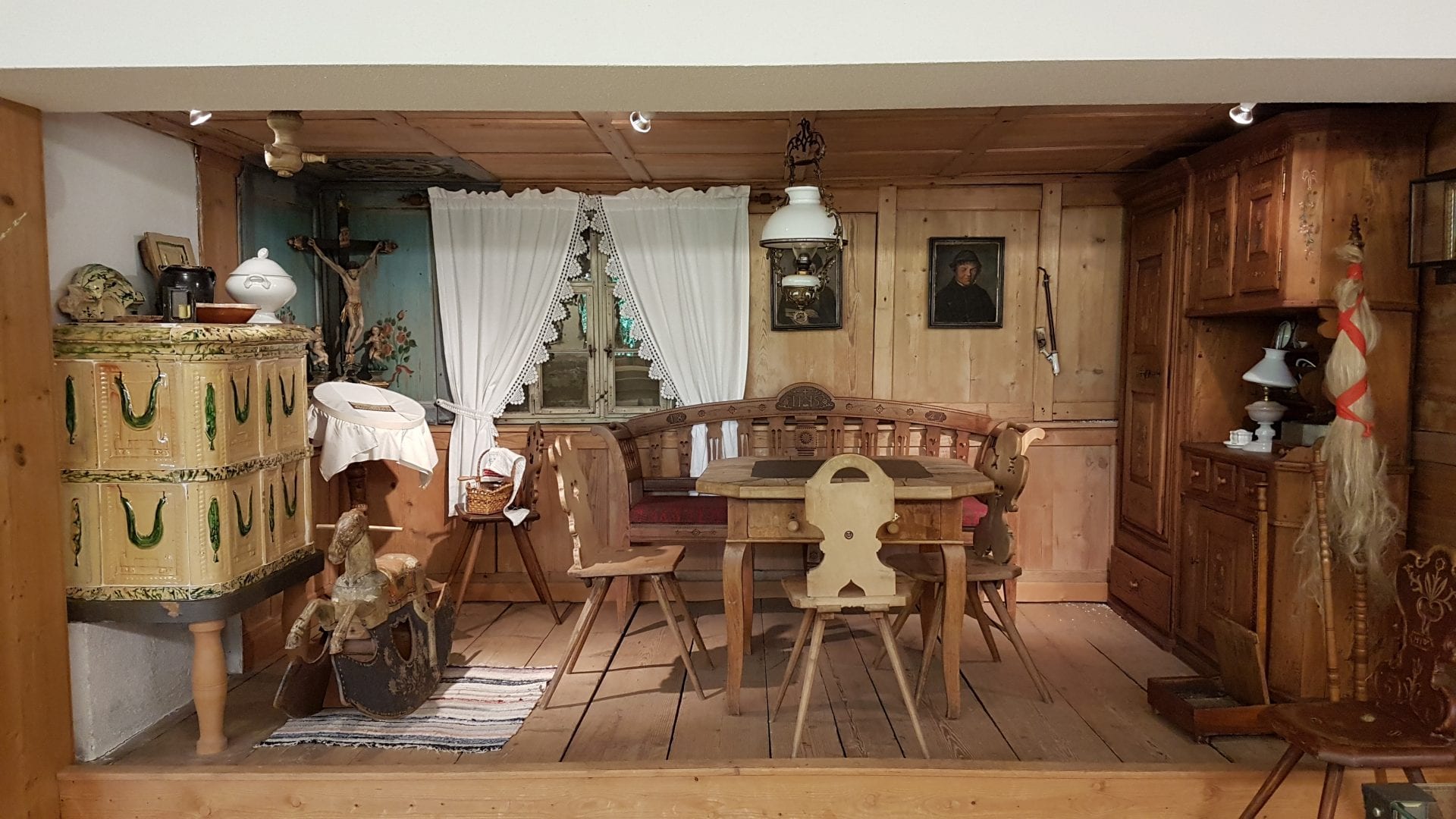
An open store museum shown by guided visit, its collection covering the years before motorisation.
Geißkopf
3.5 km away, in Schwarzenberg
A 1,198 m mountain of the Bregenzerwald range standing in the municipality itself.
Finkenbühl
4.2 km away, in Langenegg
A rise of 748 m immediately north of the village centre, on the edge of the Nord nature reserve.
Bauernhof be-greifen in Egg
4.3 km away, in Egg
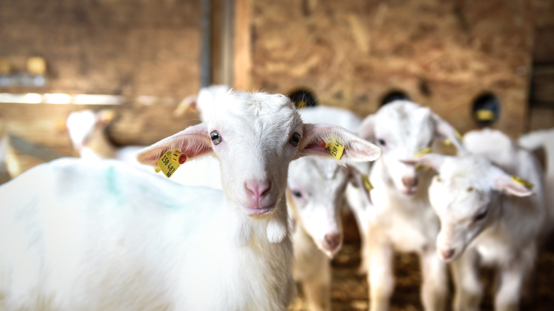
A working farm run to be walked through, where the whole agricultural cycle can be watched at close quarters.
Losenpass
4.5 km away, in Schwarzenberg
An Alpine pass of the Bregenzerwald range at 1,139 m, on the Bödele high ground.
Skifahren am Bödele
4.6 km away, in Schwarzenberg
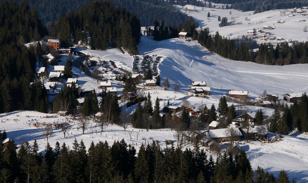
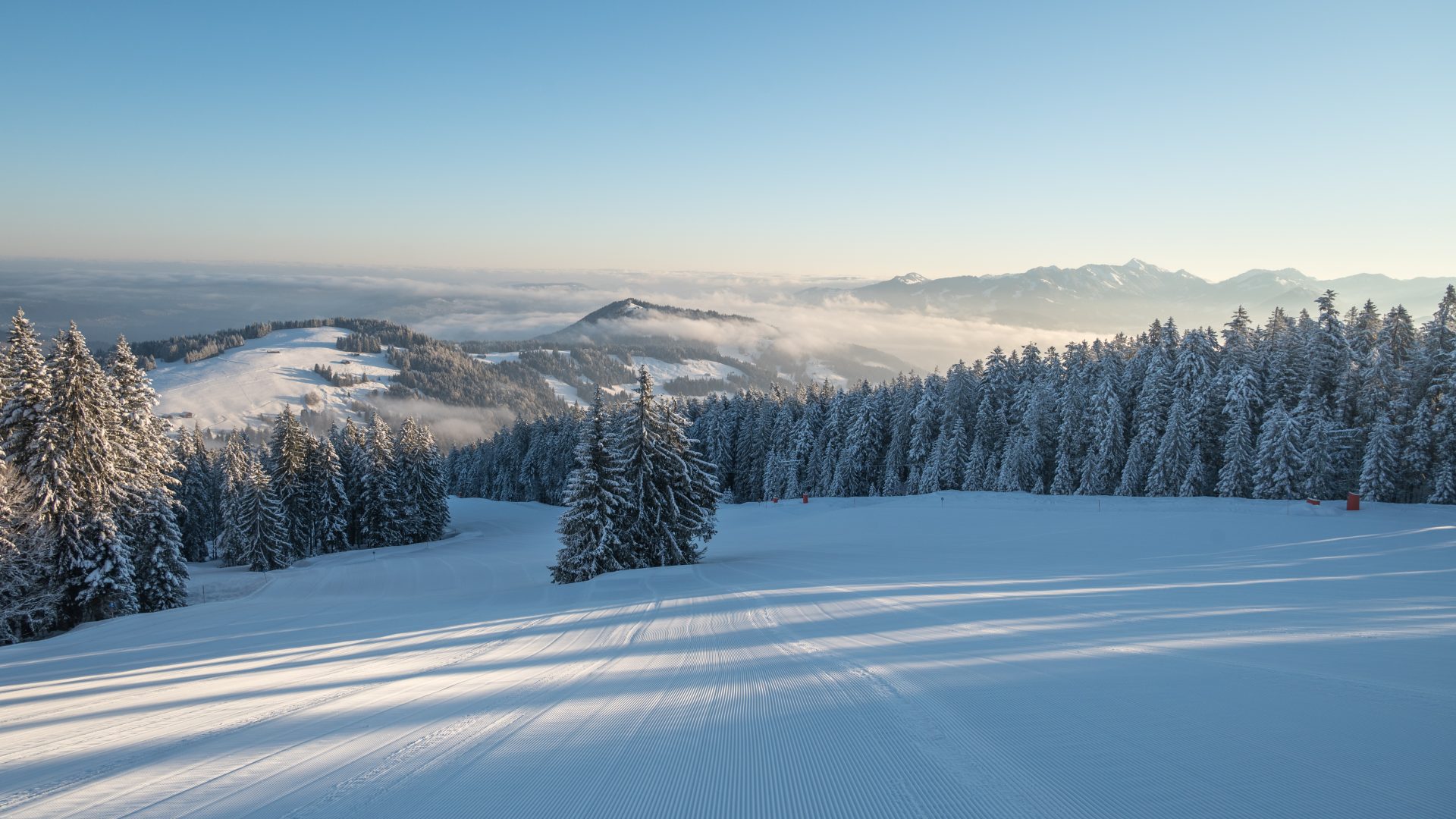
Skiing on the Bödele above Dornbirn, gentle pisted terrain over the valley.
Unser KleinWien
4.7 km away, in Doren
A disused bakery in the middle of the village, bought by the municipality and given a new use.
Angelika Kauffmann Museum Schwarzenberg
4.8 km away, in Schwarzenberg
A modern museum room of 2007, hidden in the former farm wing of a Bregenzerwald house over 450 years old.
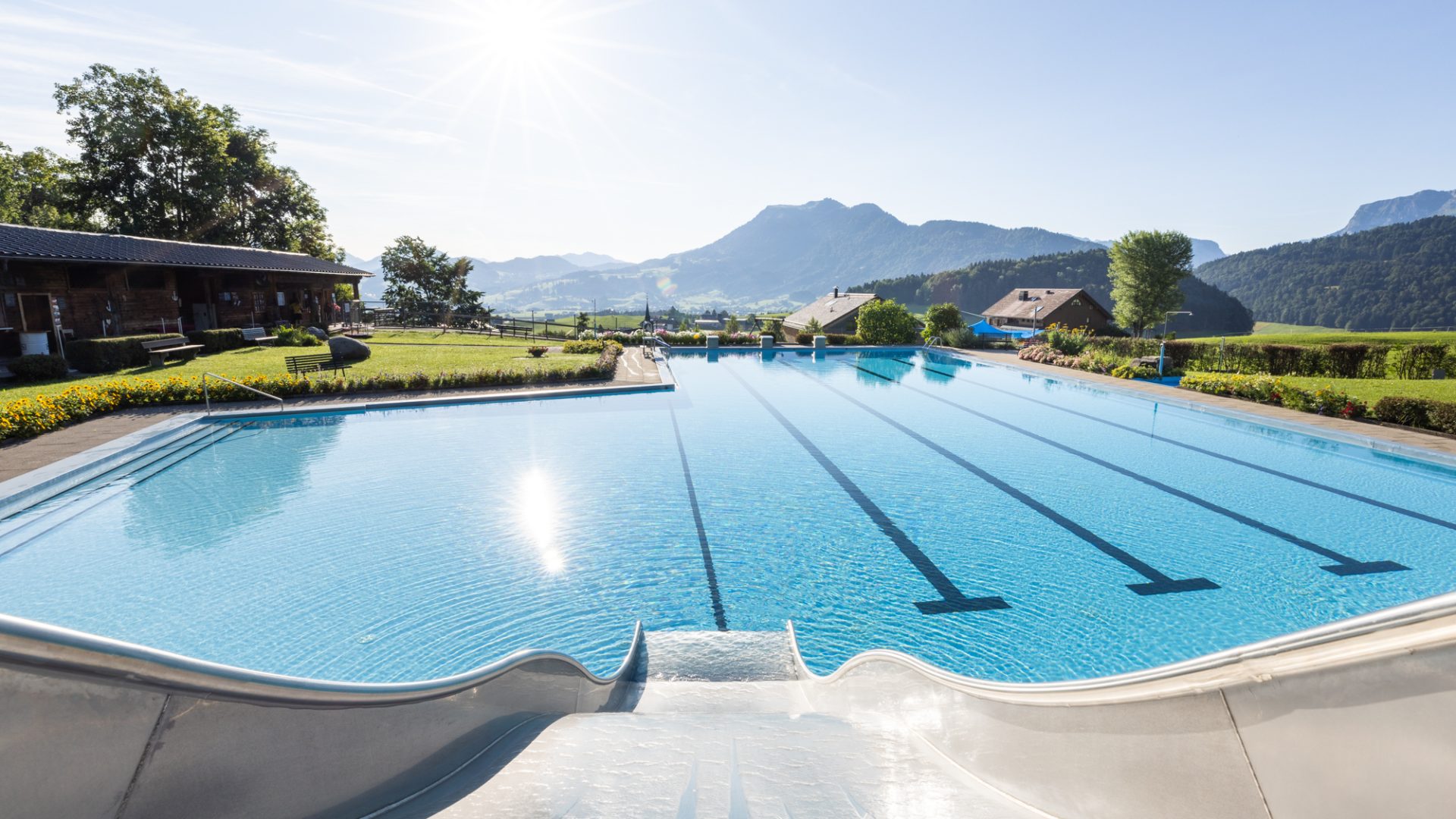
Schwimmbad Schwarzenberg
5 km away, in Schwarzenberg
A small open-air pool above the village, sunny and quiet, looking out over the surrounding country.
Skigebiet Bödele-Schwarzenberg
5 km away, in Schwarzenberg
The ski area on the Bödele pass, which suits beginners and confident skiers equally.
Aussichtspunkt Angelikahöhe mit FREI:LUFT Bücherbox
5.1 km away, in Schwarzenberg
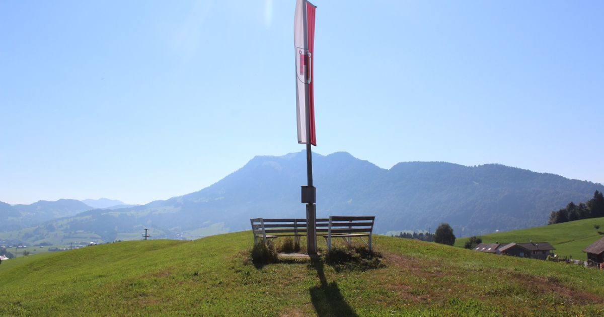
A viewpoint at the Angelikahöhe above Schwarzenberg in the Bregenzerwald, with an open-air book exchange box.
Kleiner Kinderspielplatz
5.1 km away, in Schwarzenberg
A small children's playground at Schwarzenberg in the Bregenzerwald in Vorarlberg.
Egg Museum
5.1 km away, in Egg
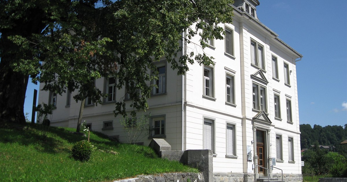
The village museum in Egg in the Bregenzerwald, on local history, crafts and Wälder dress.
 Mountain pass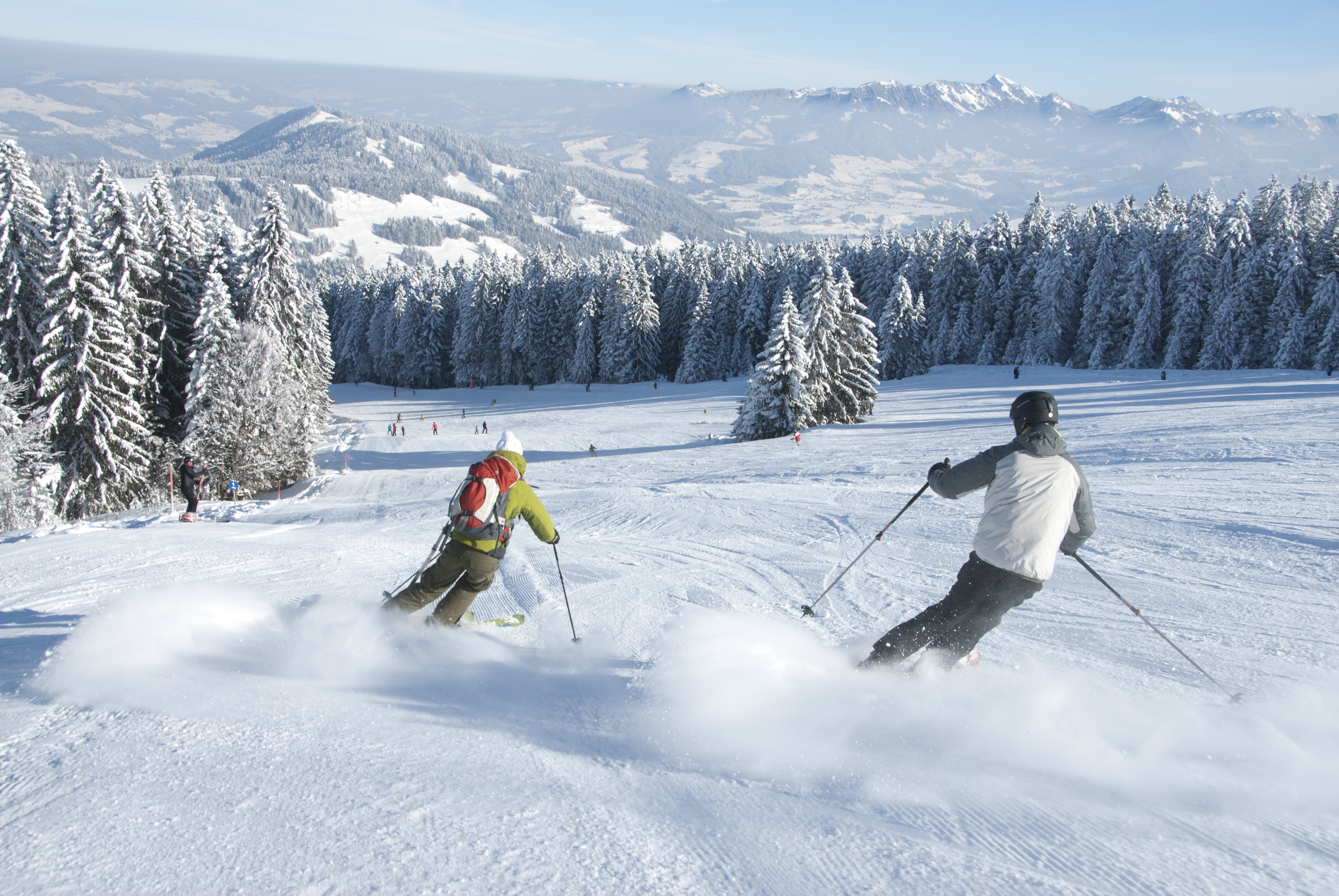
 Cable car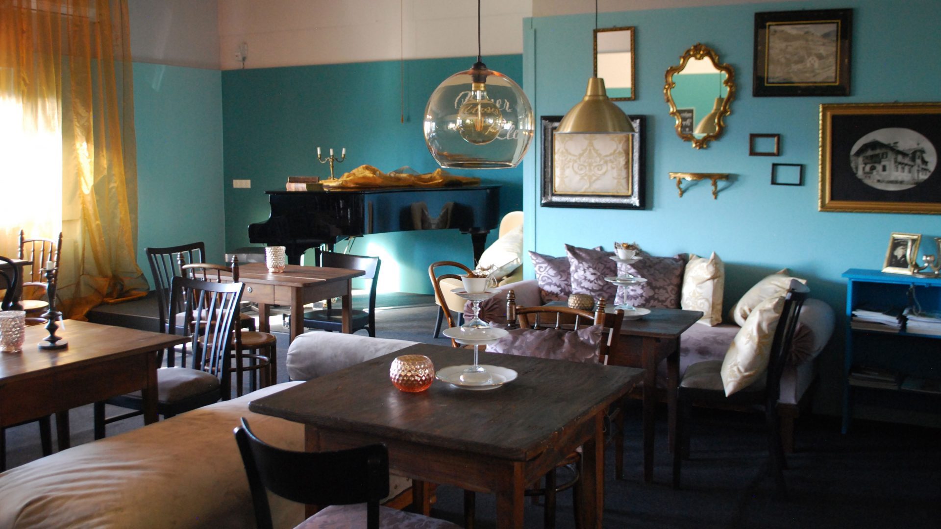
 Historic site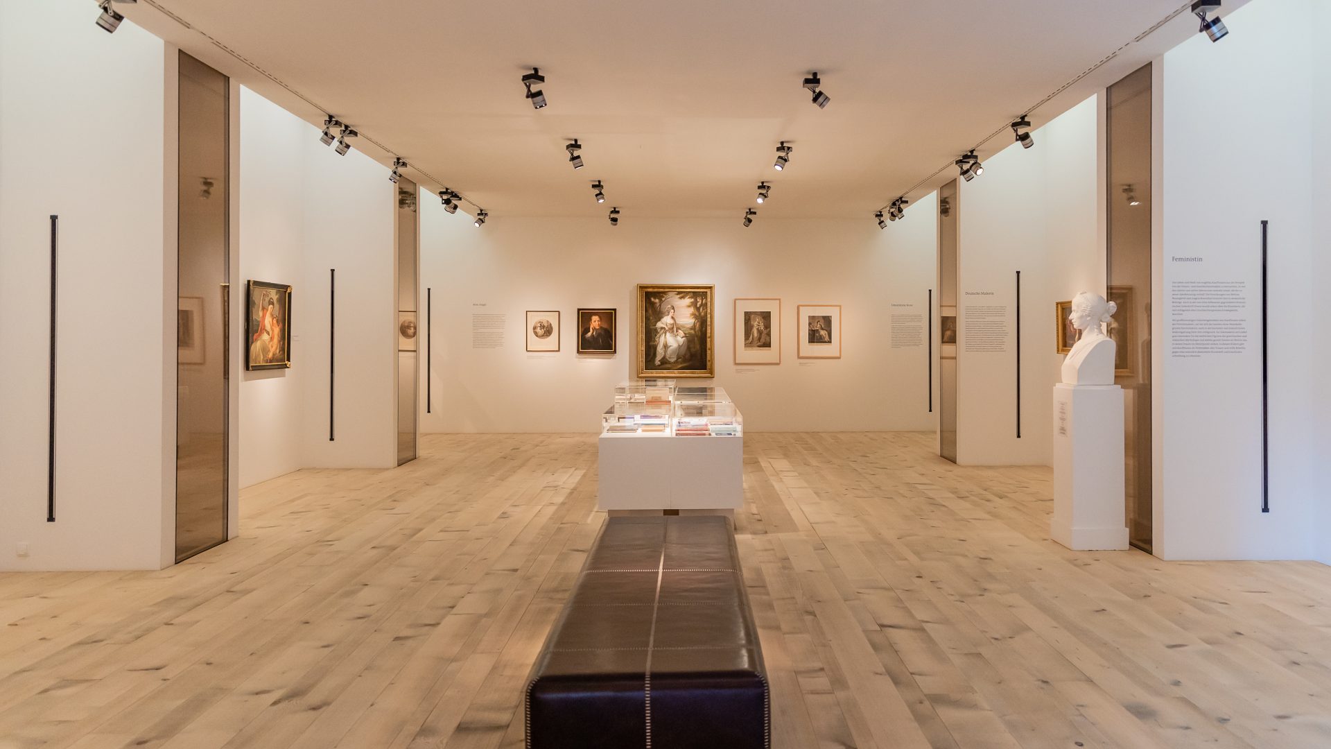
 Viewpoint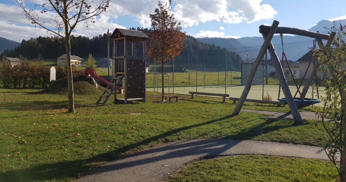
Nothing of this kind in Alberschwende.
Routes
Alberschwende | Naturvielfalt im Schollamoos
A short walk through birch woods and moorland where peat was once cut, close to the village centre.
- 2.9 km
- Distance
- 42 m
- Ascent
- 47 min
- Duration
Open route Vorarlberg TourismusAlberschwende | Auf den Brüggelekopf
A winter route from the village centre by Tannen onto the Brüggelekopf, the local mountain, on cleared paths.
- 11.7 km
- Distance
- 458 m
- Ascent
- 3 h 53 min
- Duration
Open route Vorarlberg TourismusAlberschwende | Sagenweg von Alberschwende bis Andelsbuch
The legend trail run the other way, from Alberschwende to Andelsbuch, well signed and suited to families.
- 17.7 km
- Distance
- 629 m
- Ascent
- 5 h 48 min
- Duration
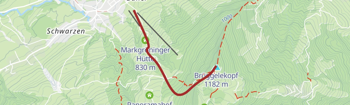
Open route Vorarlberg TourismusAlberschwende - Brüggelekopf
A ski tour from Alberschwende to Brüggelekopf, 421 m of climbing in 2.2 km to a high point of 1,166 m.
- 2.0 km
- Distance
- 0 m
- Ascent
- 0 m
- Descent
- 30 min
- Duration
Open route PeakVisor tTRL (OpenStreetMap piste_type=skitour)Alberschwende | Achtalweg bis Andelsbuch – Bödele – Alberschwende
A long e-bike round by Egg, Andelsbuch and Schwarzenberg up to the Bödele, returning through Dornbirn.
- 39.2 km
- Distance
- 966 m
- Ascent
- 4 h 23 min
- Duration
Open route Vorarlberg TourismusAlberschwende | Rundweg Schollomoos
A round through the Schollomoos raised bog in the middle of the village, passing the Hermann Gmeiner memorial stone.
- 3.5 km
- Distance
- 44 m
- Ascent
- 56 min
- Duration
Open route Vorarlberg TourismusAlberschwende | Gipfelerlebnis am Brüggelekopf
From the valley station of the old Brüggelekopf lift up a good alp road over Lanzen and the Tannerberg to the summit.
- 10.0 km
- Distance
- 459 m
- Ascent
- 3 h 29 min
- Duration
Open route Vorarlberg TourismusEgg | Die Aussicht über Egg genießen
A round from the centre of Egg over the high bridge to Kaltenbrunnen, which looks out over the Vorderwald villages.
- 15.4 km
- Distance
- 694 m
- Ascent
- 5 h 20 min
- Duration
Open route Vorarlberg TourismusEgg | Achtal-Runde
A round from Egg to Alberschwende and back along the trackbed of the old Bregenzerwald railway.
- 23.6 km
- Distance
- 585 m
- Ascent
- 2 h 38 min
- Duration
Open route Vorarlberg TourismusAlberschwende | Schollomoosrunde
A round of about 110 m of climbing from the village centre into the Schollamoos reserve.
- 6.0 km
- Distance
- 85 m
- Ascent
- 1 h 37 min
- Duration
Open route Vorarlberg TourismusAlberschwende | Rundweg auf den Brüggelekopf über Maltach
From the village square over the hamlets of Maltach and Schwanteln to the Brüggelekopf, down by the ridge path.
- 12.1 km
- Distance
- 518 m
- Ascent
- 4 h 8 min
- Duration
Open route Vorarlberg TourismusMin Weag 30 | Bödele – Bildstein
A Min Weag stage from the Bödele over the Brüggelekopf to Bildstein and its pilgrimage church.
- 15.3 km
- Distance
- 498 m
- Ascent
- 5 h 16 min
- Duration
Open route Vorarlberg TourismusHittisau | Mittelwald-Runde
A varied road round through the Bregenzerwald with sporting climbs and long descents, for riders in good shape.
- 35.3 km
- Distance
- 515 m
- Ascent
- 3 h 37 min
- Duration
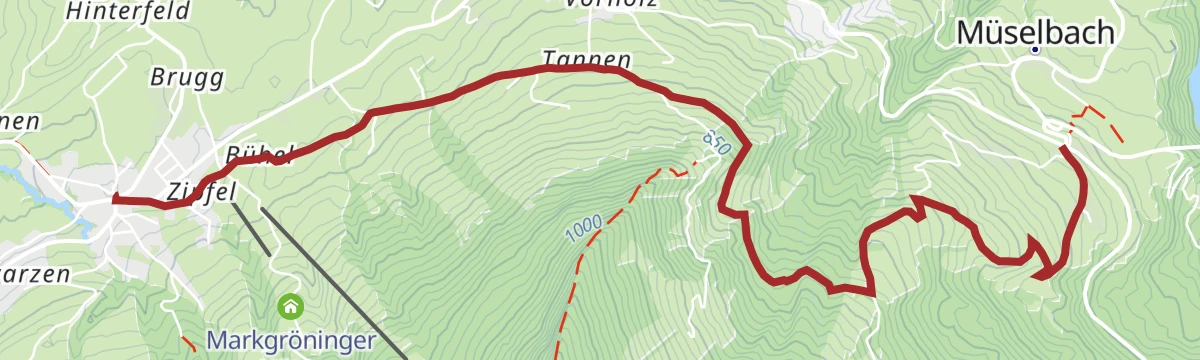
Open route Vorarlberg TourismusAlberschwende | Von Alberschwende nach Müselbach
A short winter walk on prepared paths from the village square by Tannen to Müselbach.
- 5.9 km
- Distance
- 119 m
- Ascent
- 1 h 45 min
- Duration
Open route Vorarlberg TourismusAlberschwende | Wasserfallrunde
An easy round to a substantial waterfall, taken by way of the old Fischbach road out of the village.
- 7.2 km
- Distance
- 233 m
- Ascent
- 2 h 16 min
- Duration
Open route Vorarlberg TourismusMellau l Rennrad Mellau – Lorenapass
A road ride linking eight villages of the middle Bregenzerwald over the Bödele and the Lorenapass.
- 42.9 km
- Distance
- 738 m
- Ascent
- 4 h 30 min
- Duration
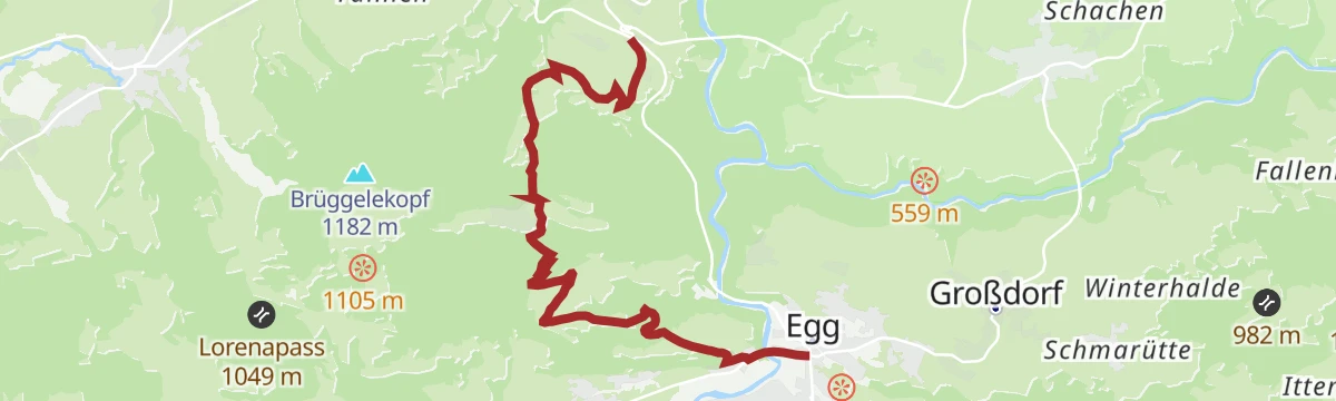
Open route Vorarlberg TourismusEgg | Von Egg nach Alberschwende
A winter walk from the village square at Egg by Kaltenbrunnen to Alberschwende, leaving the summer line where it is snowed over.
- 9.2 km
- Distance
- 394 m
- Ascent
- 2 h 58 min
- Duration
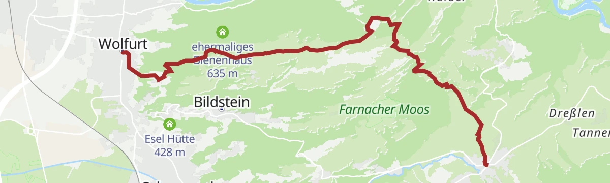
Open route Vorarlberg TourismusRennradrunde Wolfurt – Buch – Achrain
A road-bike round tying the Rheintal to the higher ground of Buch and Alberschwende, 428 m of climbing.
- 25.3 km
- Distance
- 412 m
- Ascent
- 2 h 38 min
- Duration
Open route Vorarlberg TourismusEgg | Zum Sonnenhang Kaltenbrunnen
From the centre of Egg over the sunny slope at Kaltenbrunnen to Müselbach, with views the whole way.
- 7.1 km
- Distance
- 369 m
- Ascent
- 2 h 31 min
- Duration
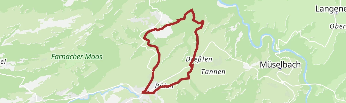
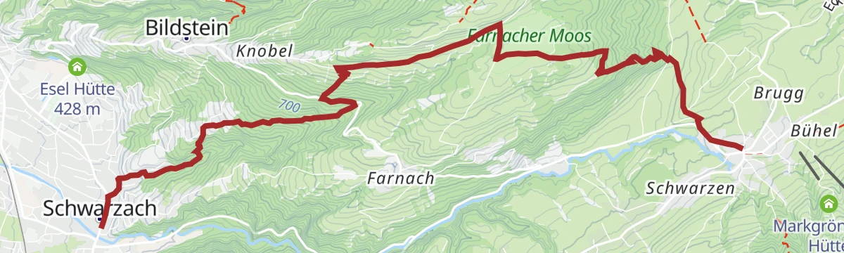
Open route Vorarlberg TourismusNaturtour: Schwarzach – Farnach Moos – Alberschwende
A half-day walk from Schwarzach to Alberschwende with a stop in the Farnach-Moos reserve, with stations for children.
- 8.5 km
- Distance
- 481 m
- Ascent
- 2 h 56 min
- Duration
Open route Vorarlberg TourismusÜber den Schneiderkopf in der Region Bodensee-Vorarlberg
An unhurried walk over the Schneiderkopf on made-up ways, with Lake Constance in sight much of the time.
- 10.0 km
- Distance
- 622 m
- Ascent
- 3 h 42 min
- Duration
Open route Vorarlberg Tourismus






No routes of this kind in Alberschwende yet.
Planning a trip to Alberschwende?
Everything else Vorarlberg has, in one place


Take Alberschwende with you into the mountains
Every route on this page with 3D terrain, GPX navigation and offline maps — including the valleys with no signal.
Data sources
- Official website: alberschwende.at ↗
- Routes and highlights: Vorarlberg Tourismus, Bregenzerwald Tourismus, PeakVisor / OpenStreetMap, Dornbirn, Bodensee-Vorarlberg Tourismus, Egg, PeakVisor tTRL (OpenStreetMap piste_type=skitour)
- Published as open data by the tourist boards named above.
- Region summary generated from the board's own material.
