
 Mountain hut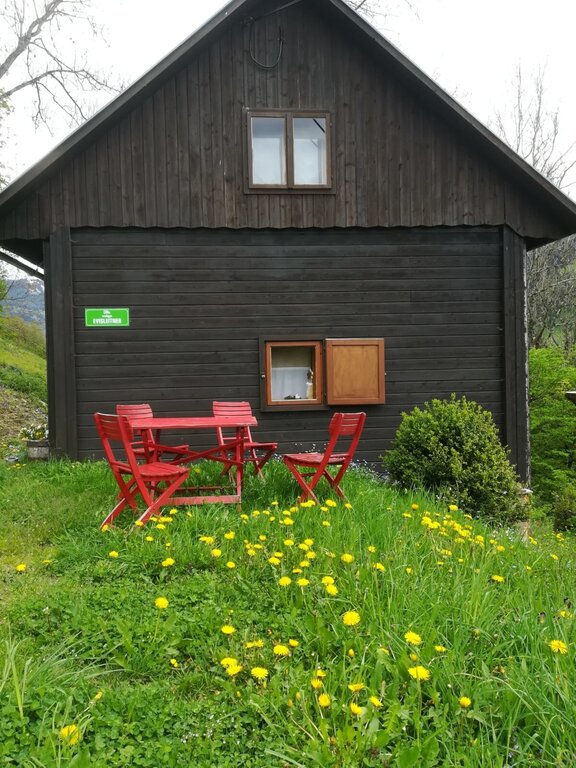
 Cable car






Curated by Schladming-Dachstein Tourismus
Aigen im Ennstal
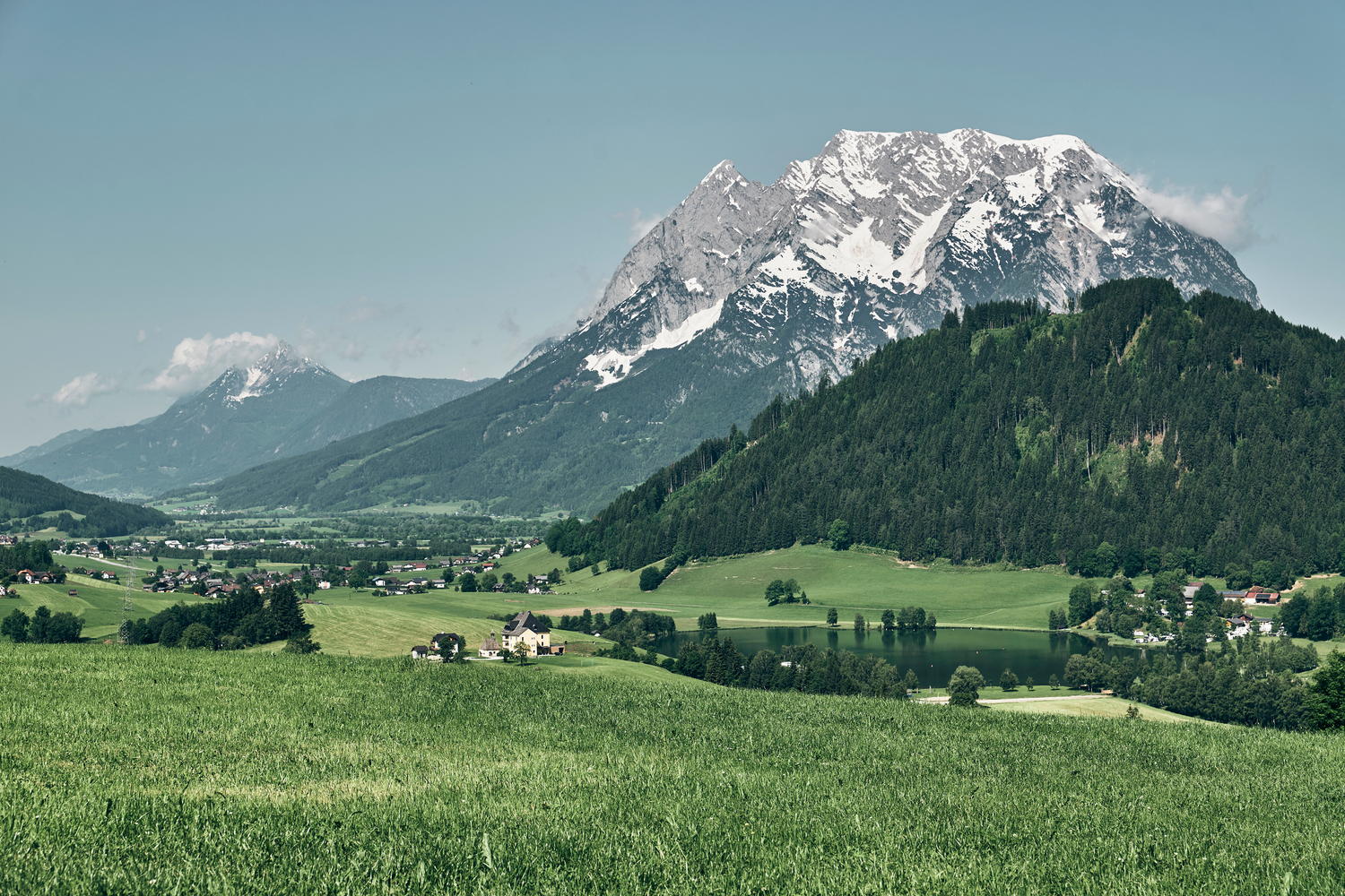
In the broad middle Ennstal below the Grimming, with the warm little Putterersee for swimming and the golf course of Schloss Pichlarn among its farm hamlets.
- 1Highlights
- 9Routes
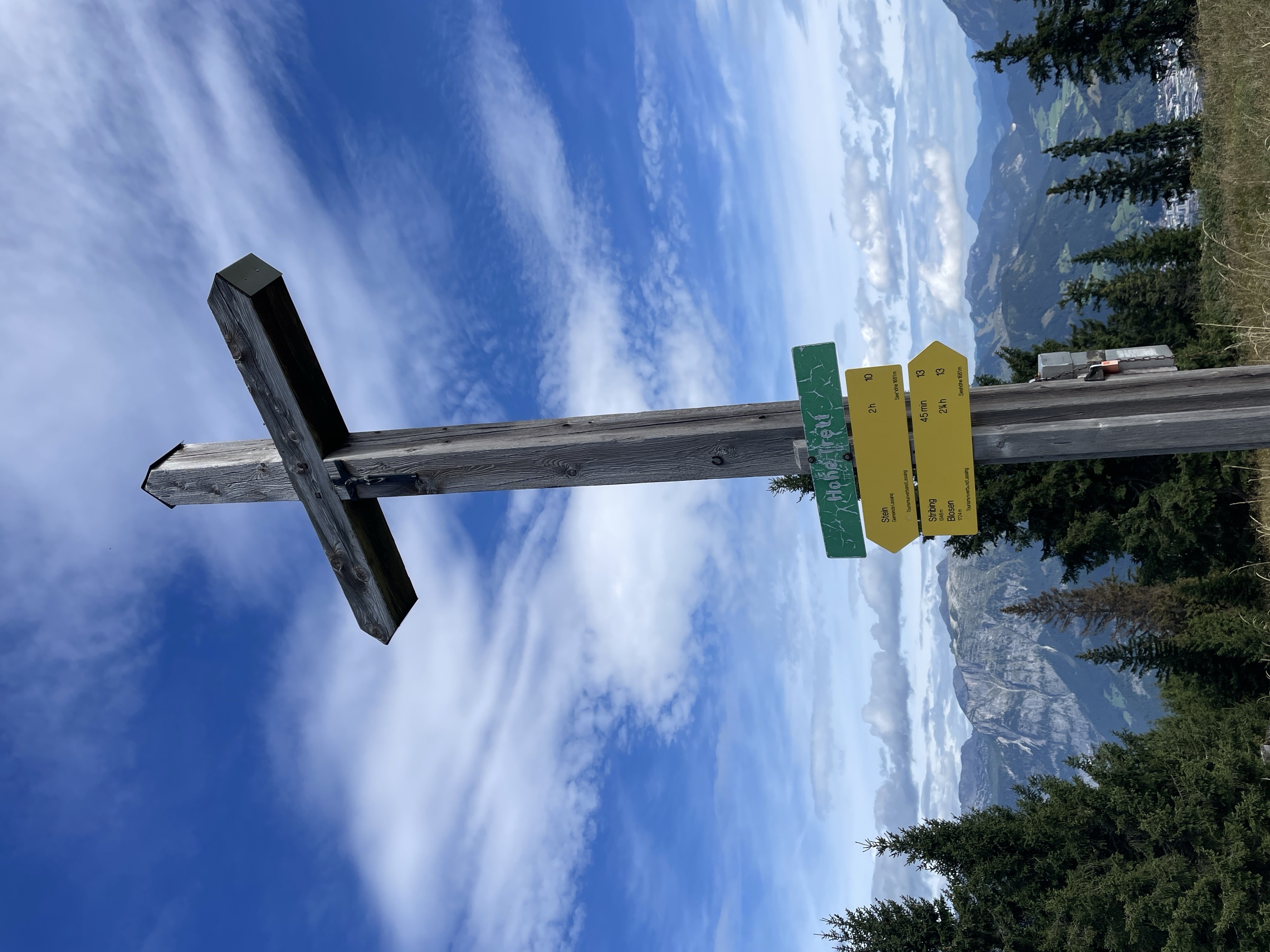
- Featured summit · Hohe Trett
Highlights
6 from neighbouring places
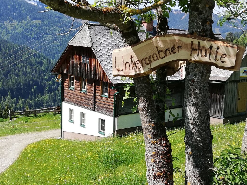
Untergrabner Hütte
A farm-run hut above Aigen im Ennstal, rented through the farm-holiday network for quiet stays overlooking the Enns valley.
Ewisleitner Hütte
5.2 km away, in Irdning-Donnersbachtal
A farm hut above the Donnersbach valley in Irdning-Donnersbachtal, rented out for self-catered mountain stays.
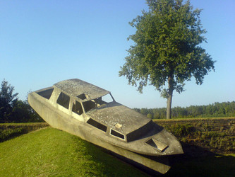
Skulpturenpark
6.3 km away, in Irdning-Donnersbachtal
A sculpture park near Irdning in the Ennstal, showing stone works from the Grimming sculpture symposium in an open-air setting.
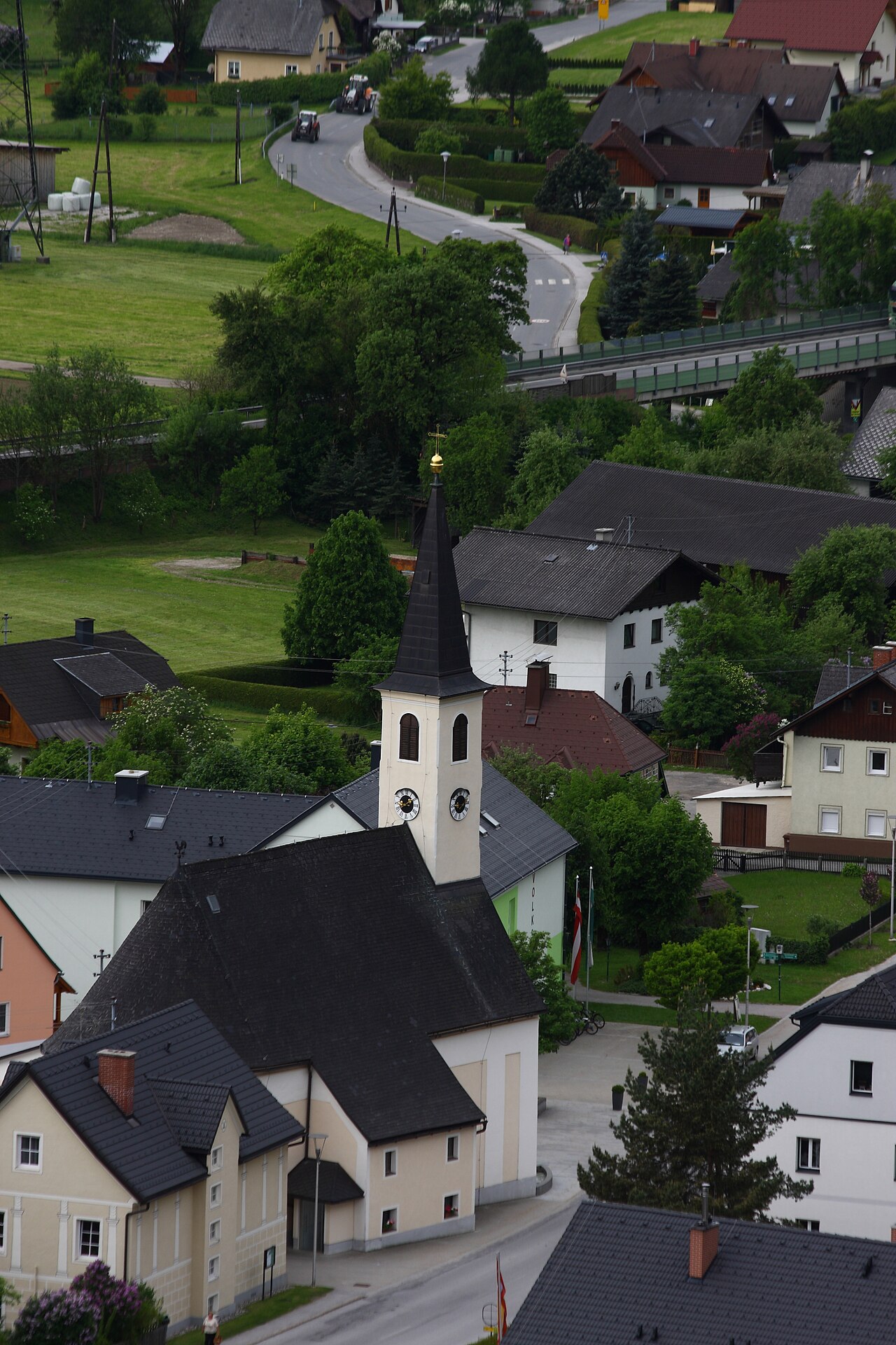
Pfarrkirche Wörschach
7.3 km away, in Wörschach
The parish church of Wörschach (651 m) in the Ennstal, the village landmark near the entrance to the Wörschachklamm gorge.
Pfarrkirche Pürgg
9.9 km away, in Stainach-Pürgg
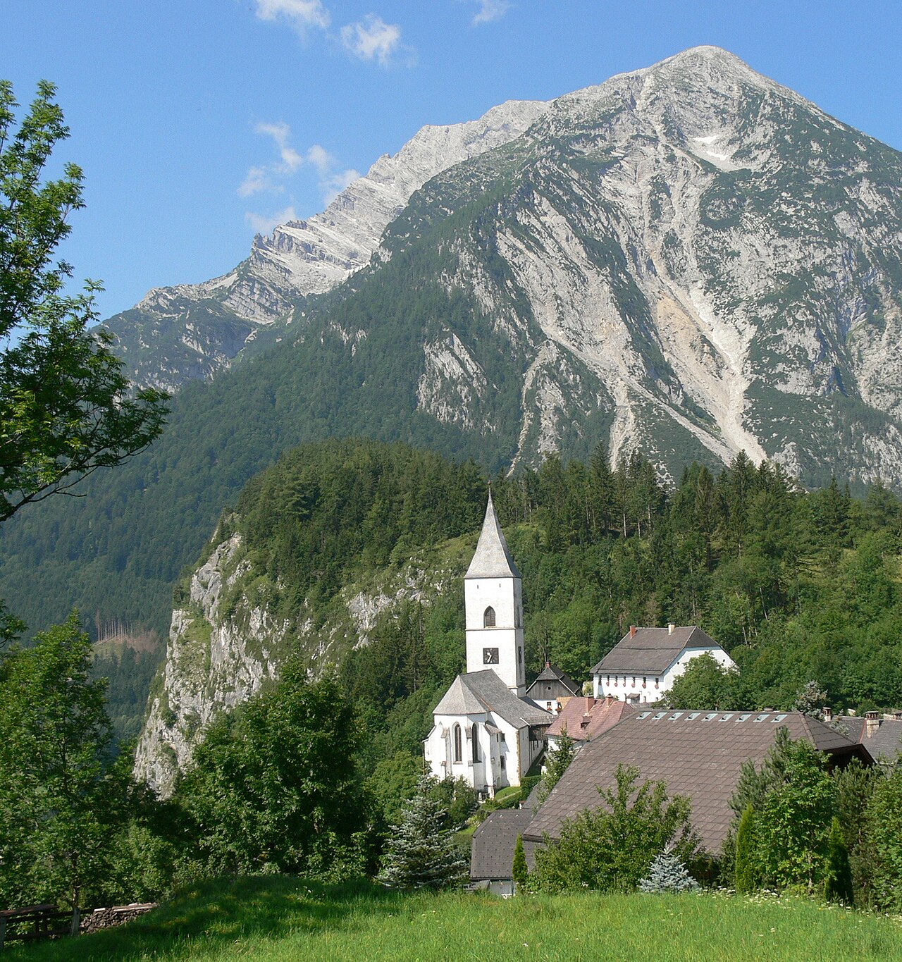
The parish church of Pürgg above the Ennstal, a building of Romanesque origin in a village known for its medieval sacred art.
Riesneralm
13.7 km away, in Irdning-Donnersbachtal
A cable car onto the Riesneralm above Donnersbachwald, opening the quiet southern side valleys of the Schladming-Dachstein region.
Öblarner Freibad
14.5 km away, in Öblarn
The outdoor swimming pool of Öblarn (666 m) in the Ennstal, a village lido for summer bathing between Gröbming and Irdning.
Nothing of this kind in Aigen im Ennstal.
Routes
11 from neighbouring places
Skitour zum Hochrettelstein
Ski tour from the Planneralm past the Seekaralm to the Hochrettelstein, a well-liked Donnersbach Tauern objective with open slopes for the descent.
- 7.1 km
- Distance
- 703 m
- Ascent
- 703 m
- Descent
- 2 h 42 min
- Duration
- 2
- Check-ins
Ennsradweg Radstadt - Aigen im Ennstal
A long, almost flat run down the Enns valley from Radstadt over the Mandlingpass, following the river past Öblarn into the Ennstal.
- 69.2 km
- Distance
- 179 m
- Ascent
- 6 h 23 min
- Duration
- 14
- Check-ins
Oppenberg Runde
A road loop out of the Ennstal by way of Lassing and its lake, climbing to about 1,080 m before the descent back to the valley.
- 47.9 km
- Distance
- 1 137 m
- Ascent
- 5 h 19 min
- Duration
- 3
- Check-ins
Bike & Hike Schloss Trautenfels - Tressenstein
A long approach ride through the Ennstal past the Grimminghütte and the Putterersee campsite, with a summit walk at the far end.
- 30.8 km
- Distance
- 864 m
- Ascent
- 3 h 33 min
- Duration
- 13
- Check-ins
Ennsradweg - 3. Tagesetappe
A flat valley stage beside the Enns, running from Wörschach Schwefelbad through Liezen towards the gates of the Gesäuse.
- 40.5 km
- Distance
- 236 m
- Ascent
- 3 h 49 min
- Duration
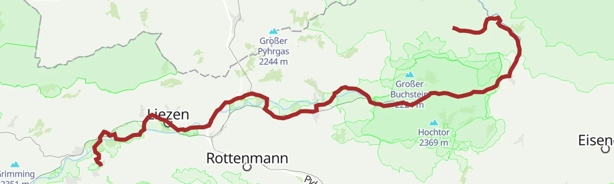
Ennsradweg Aigen im Ennstal - St. Gallen
A long ride downstream beside the Enns, running through the Gesäuse gorge with barely 600 m of climbing in nearly 80 km.
- 79.0 km
- Distance
- 652 m
- Ascent
- 7 h 37 min
- Duration
- 12
- Check-ins
Bike & Hike Dachsteinblick - Gindlhorn
A long ride from the Enns valley floor up to Wörschachwald and the Spechtensee lift, with the walk to the Gindlhorn from the road's end.
- 37.3 km
- Distance
- 974 m
- Ascent
- 4 h 14 min
- Duration
- 12
- Check-ins
Bike & Hike Wörschachklamm - Oberkogler Alm
A valley ride from Aigen to the Klammstüberl at the gorge entrance, with the climb on to the lookout tower at 1,102 m.
- 26.2 km
- Distance
- 651 m
- Ascent
- 2 h 56 min
- Duration
- 12
- Check-ins
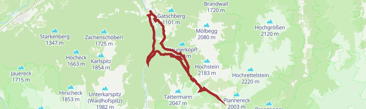
Aigen Runde | 823
A forest-road circuit out of the Ennstal valley floor, climbing to around 1,080 m on the wooded slopes above Irdning.
- 25.0 km
- Distance
- 758 m
- Ascent
- 2 h 56 min
- Duration
- 2
- Check-ins
Hochrettelstein - Der Schönste in den Donnersbacher Tauern
9.7 km away, in Rottenmann
Long ski tour to the Hochrettelstein, widely rated the finest summit in the Donnersbach Tauern, approached from the Rottenmann side past the Ertelberger farm.
- 15.0 km
- Distance
- 1 167 m
- Ascent
- 1 167 m
- Descent
- 5 h 11 min
- Duration
- 2
- Check-ins
Burgstall Klettersteig
10.1 km away, in Stainach-Pürgg
A short via ferrata near Untergrimming whose descent passes through the hillside village of Pürgg with its historic Johanneskapelle before looping back to the start.
- 2.3 km
- Distance
- 150 m
- Ascent
- 1 h 19 min
- Duration
Niederöblarner Teichrunde
12.9 km away, in Öblarn
Flat loop around the ponds by the Sportsarea in Niederöblarn — two easy, level kilometres past water, meadows and the Clubhotel.
- 2.1 km
- Distance
- 7 m
- Ascent
- 31 min
- Duration
Wanderung ins Walchental
13.5 km away, in Öblarn
Valley walk from Öblarn into the Walchental, following the stream past the small power station to the Berghaus in der Walchen and back the same way.
- 13.2 km
- Distance
- 484 m
- Ascent
- 4 h 18 min
- Duration
Skitour zur Schoberspitze
10.4 km away, in Irdning-Donnersbachtal
Ski tour from the Planneralm by the Kothüttensee and over the Karlscharte to the Schoberspitze, with the Karlspitze available as a bonus summit.
- 8.6 km
- Distance
- 810 m
- Ascent
- 810 m
- Descent
- 3 h 10 min
- Duration
- 14
- Check-ins
Planneralm Runde | 317
6.5 km away, in Irdning-Donnersbachtal
A long forest-road circuit up to the high hamlet of Planneralm at 1,600 m, passing the Badlechneralm and the Köberlhütte.
- 27.1 km
- Distance
- 1 157 m
- Ascent
- 3 h 30 min
- Duration
- 5
- Check-ins
Wörschacher Raidling mit Abfahrt über die Hochmölbinghütte
10.6 km away, in Liezen
Ski tour from the Oberkogler Alm above Wörschach to the Wörschacher Raidling, descending on the far side past the Hochmölbinghütte and out through the Langpoltenalm.
- 15.5 km
- Distance
- 954 m
- Ascent
- 954 m
- Descent
- 5 h 2 min
- Duration
- 11
- Check-ins
Tonisteig
10.5 km away, in Wörschach
A short secured climb above Wörschach reached via the Schneehitzalm — a longer approach while the Tausingkar stays closed for hunting — with a descent over the Hochtausing.
- 9.9 km
- Distance
- 120 m
- Ascent
- 3 h 54 min
- Duration
- 2
- Check-ins
Rundwanderweg Öblarn - Niederöblarn
13.5 km away, in Öblarn
Half-day round linking Öblarn and Niederöblarn, climbing into the hillside woods between the two villages before returning along the valley floor.
- 10.6 km
- Distance
- 394 m
- Ascent
- 3 h 28 min
- Duration
Skitour zur Bärenfeichtenalm
10.4 km away, in Stainach-Pürgg
Gentle ski tour from the Spechtensee in Wörschachwald to the Bärenfeichtenalm, an unhurried round with modest climbing through wooded alm country.
- 9.3 km
- Distance
- 456 m
- Ascent
- 456 m
- Descent
- 2 h 52 min
- Duration
Spechtensee Runde | 315
10 km away, in Stainach-Pürgg
A circuit out of the Enns valley climbing to the Wörschachwald plateau and the lake below the Spechtenseelift, then back down.
- 26.6 km
- Distance
- 734 m
- Ascent
- 3 h 3 min
- Duration
- 4
- Check-ins
No routes of this kind in Aigen im Ennstal yet.
The region's own picks
Featured route
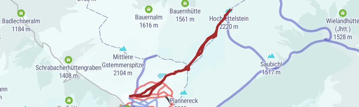
Skitour zum Hochrettelstein
Ski tour from the Planneralm past the Seekaralm to the Hochrettelstein, a well-liked Donnersbach Tauern objective with open slopes for the descent.
Planning a trip to Aigen im Ennstal?
Everything else Styria has, in one place


Take Aigen im Ennstal with you into the mountains
Every route on this page with 3D terrain, GPX navigation and offline maps — including the valleys with no signal.
Data sources
- Official website: schladming-dachstein.at ↗
- Routes and highlights: Schladming-Dachstein Tourismus, Salzburger Sportwelt
- Published as open data by the tourist boards named above.
- Region summary generated from the board's own material.
