
Curated by 360alpenland
Admont
The market at the western gate of the Gesäuse, on the Enns at about 650 m, with a Benedictine abbey and the Johnsbachtal climbing into the Ennstal Alps.
Photo: C.Stadler/Bwag licence
- 3Highlights
- 19Routes
Highlights
8 from neighbouring places
Bichlbacher Rodelbahn
A toboggan run in the Admont area of the Enns valley, sledged in winter below the Gesäuse mountains.
Bibliothek & Museum Stift Admont
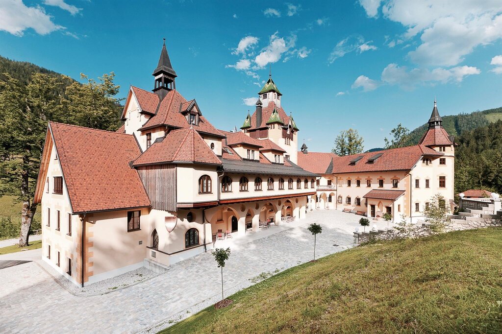
The library of Admont Abbey, the largest monastic library in the world, shown together with the abbey museum.
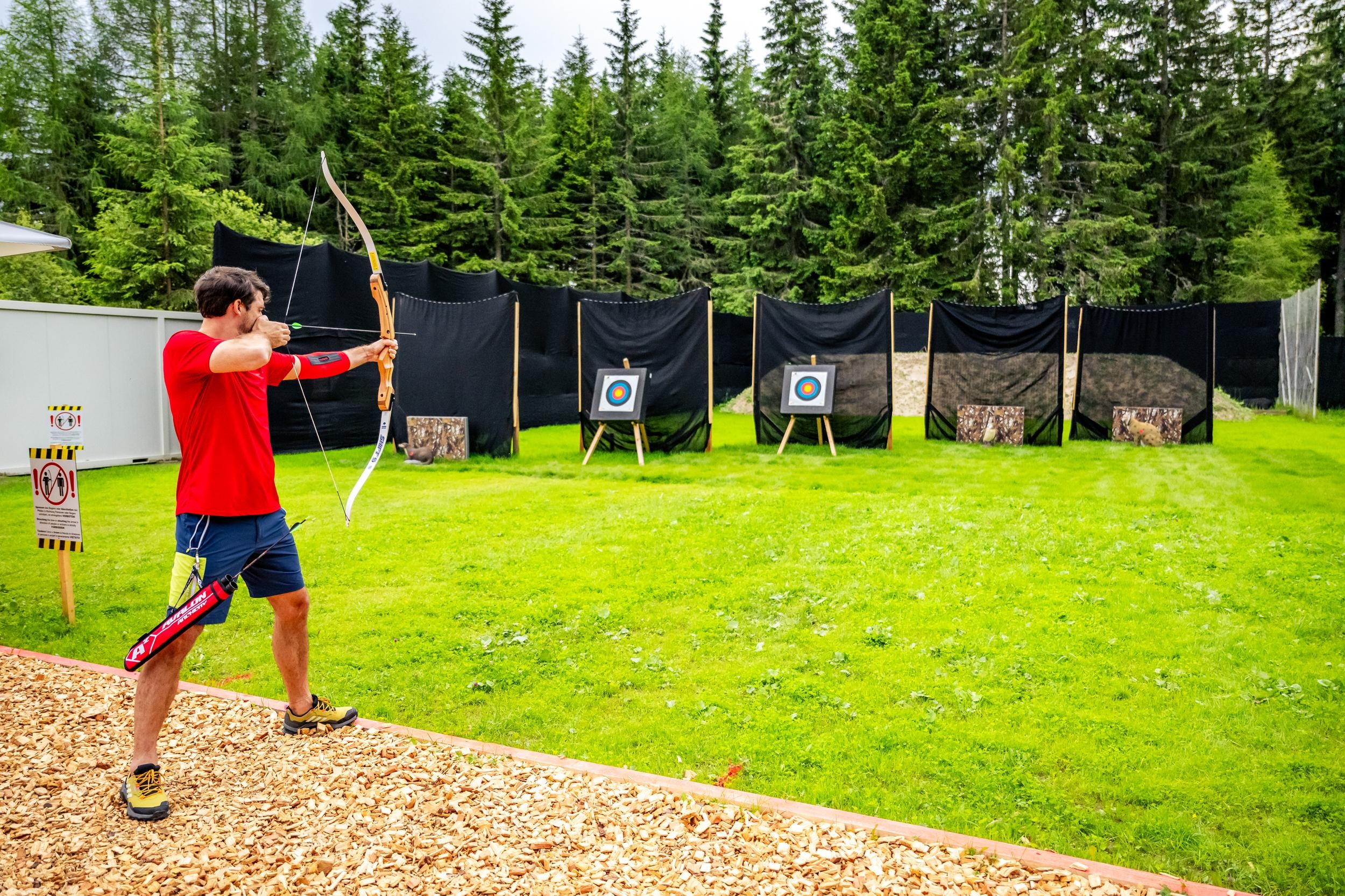
3D-Bogenparcours Gerlitzen
6.7 km away, in Gaishorn am See
A 3D archery course on the Gerlitzen near Villach, a forest circuit of life-size animal targets shot with bow and arrow.
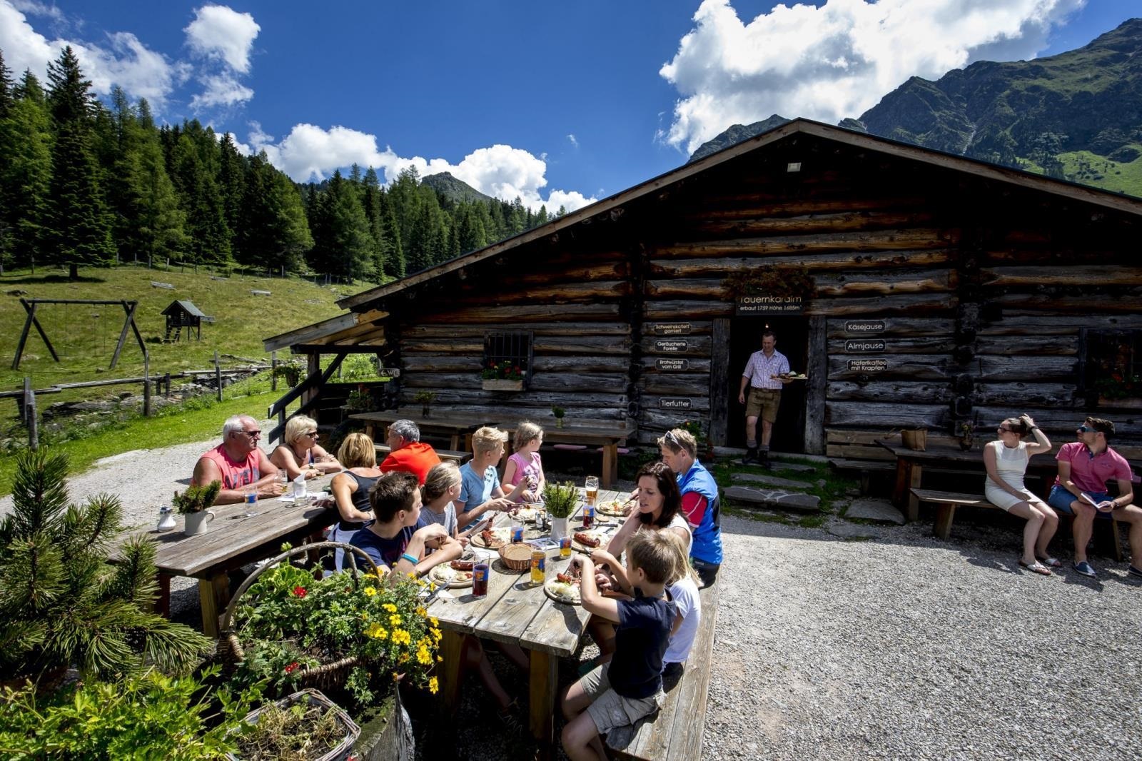
Tauernkaralm
6.7 km away, in Gaishorn am See
An alpine pasture inn serving regional and vegetarian dishes, listed at Gaishorn am See in the Styrian Paltental.
Naturbadesee Frauenberg
11.4 km away, in Ardning
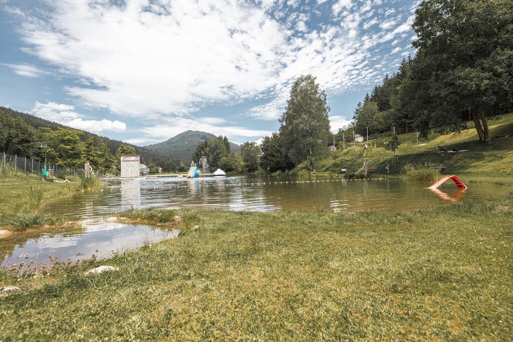
A natural swimming lake below the Frauenberg near Ardning, on the floor of the Enns valley in Styria.
Wassererlebnispark Sankt Gallen
11.9 km away, in Sankt Gallen
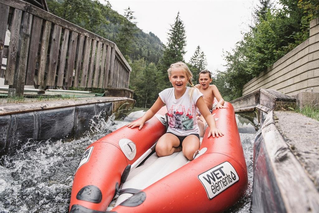
A water playground at Sankt Gallen in Styria, with channels and pools laid out for children.
Schloss Kassegg
12.2 km away, in Sankt Gallen
A castle at Sankt Gallen in the Styrian Enns region, standing on the valley floor near the village.
Freibad Sankt Gallen
13.1 km away, in Sankt Gallen
The open-air swimming pool of Sankt Gallen in the Styrian Enns region.
Burgruine Gallenstein
13.9 km away, in Sankt Gallen
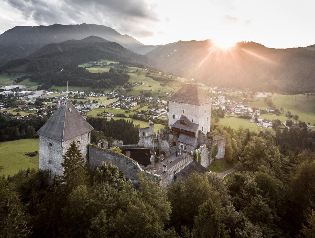
The ruins of Gallenstein castle on a wooded rock above Sankt Gallen in Styria.
Pürgschachen Moor
14.9 km away, in Ardning
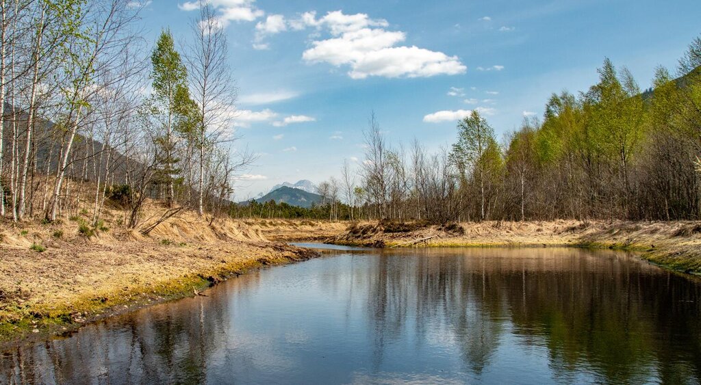
One of Austria's best-preserved raised bogs, lying on the Enns valley floor at Ardning and crossed by a boardwalk.
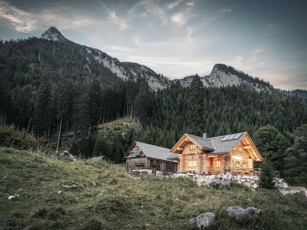
 Mountain hut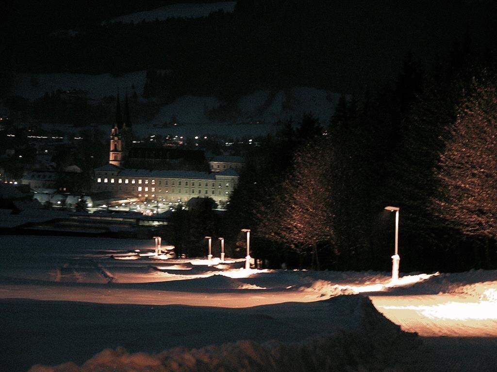

 Historic site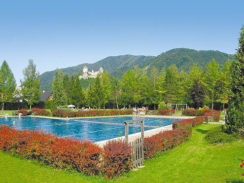
Nothing of this kind in Admont.
Routes
Almenhöhenweg vom Rohrauerhaus über die Hofalm zur Gowilalm
A high pasture traverse from the Rohrauerhaus, crossing open alpine meadows by way of the Hofalm to reach the Gowilalm.
- 6.7 km
- Distance
- 506 m
- Ascent
- 3 h 11 min
- Duration
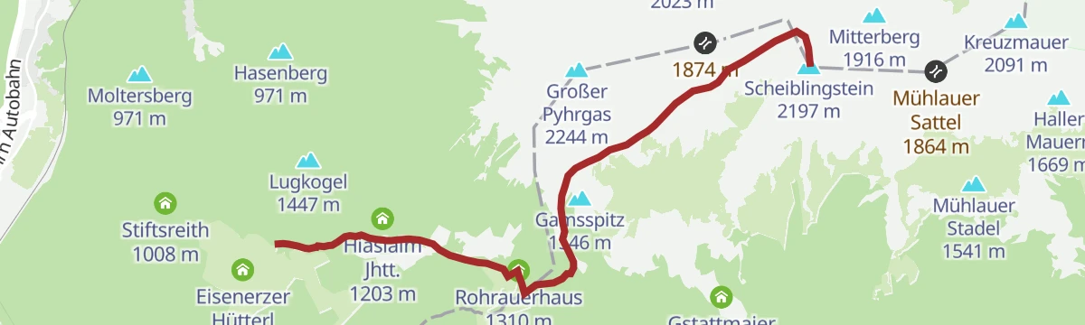
Bosruckhütte
A long approach on the southeastern edge of the Pyhrn-Priel region towards the Scheiblingstein, away from the busier routes and wide open at the top.
- 13.9 km
- Distance
- 1 316 m
- Ascent
- 8 h 11 min
- Duration
Skitour Scheiblingstein
A ski tour in the Haller Mauern, skinning up from the Bosruckhütte by way of the Rohrauerhaus towards a favourite winter summit.
- 6.3 km
- Distance
- 80 m
- Ascent
- 80 m
- Descent
- 1 h 39 min
- Duration
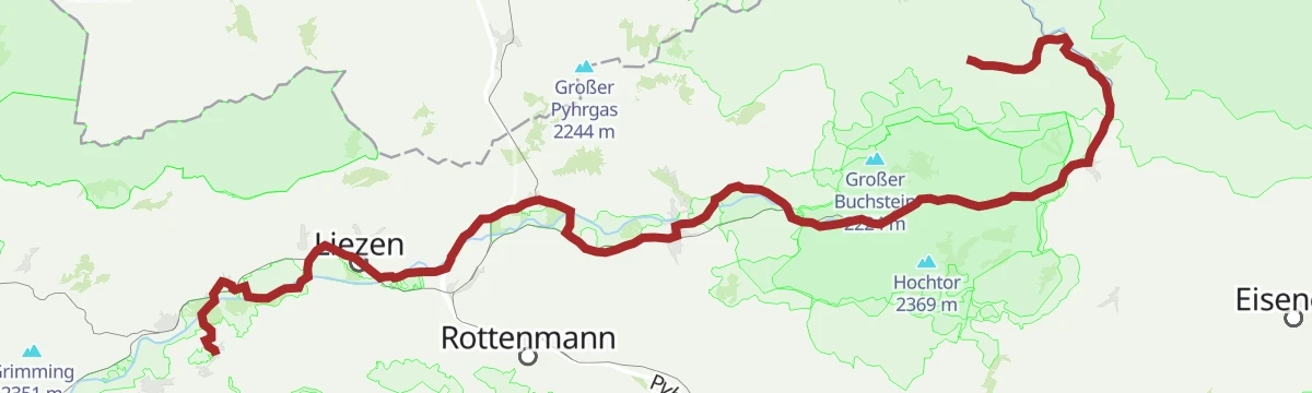
Ennsradweg Aigen im Ennstal - St. Gallen
A long ride downstream beside the Enns, running through the Gesäuse gorge with barely 600 m of climbing in nearly 80 km.
- 79.0 km
- Distance
- 652 m
- Ascent
- 7 h 37 min
- Duration
- 12
- Check-ins
Ennsradweg - 4. Tagesetappe
A day stage of the Enns river cycle route through the Gesäuse, passing the Weidendom and several riverside campsites.
- 68.0 km
- Distance
- 1 308 m
- Ascent
- 7 h 16 min
- Duration
- 14
- Check-ins
Etappe 05 Luchs Trail Mödlingerhütte
A stage along a natural balcony facing the rugged Gesäuse peaks, then down into the mountaineering village of Johnsbach.
- 10.6 km
- Distance
- 426 m
- Ascent
- 4 h 36 min
- Duration
Etappe 03 Luchs Trail Laussabaueralm
A stage over the Haller Mauern that ends in Admont, dropping out of the hills to the famous Benedictine abbey in the valley.
- 19.4 km
- Distance
- 1 125 m
- Ascent
- 8 h 8 min
- Duration
3 Pässe Rennradtour (RR1)
A hundred-kilometre road tour over the Pyhrnpaß, the Buchauer Sattel and the Hengstpass, looping through Liezen and St. Gallen.
- 98.6 km
- Distance
- 1 895 m
- Ascent
- 10 h 32 min
- Duration
Etappe 07 Luchs Trail Ennstalerhütte
A traverse of the northern Gesäuse peaks by way of the hut on the ridge, one of the later legs of the lynx-themed long-distance route.
- 11.1 km
- Distance
- 202 m
- Ascent
- 4 h 11 min
- Duration
Etappe 04 Luchs Trail Admont
A big climbing day out of Admont, over the lonely Scheiblegger Hochalm and the Klinkehütte to the sunny southern side of the Gesäuse.
- 15.1 km
- Distance
- 1 719 m
- Ascent
- 8 h 41 min
- Duration
Bike & Hike Großer Pyhrgas
The riding leg of a bike-and-hike day out of Admont, nearly 1,000 m of climbing in 8 km up to where the walking starts.
- 8.2 km
- Distance
- 982 m
- Ascent
- 2 h 13 min
- Duration
Etappe 06 Luchs Trail Johnsbach
A steep stage through the heart of the Gesäuse, passing Gstatterboden and the Weidendom before the long pull up to the Ennstalerhütte.
- 17.9 km
- Distance
- 1 000 m
- Ascent
- 7 h 4 min
- Duration
Bike & Hike Scheiblingstein
A steady 1,000 m climb from the valley up to the Rohrauerhaus, the changeover point for walkers heading on to the summit.
- 9.4 km
- Distance
- 1 030 m
- Ascent
- 2 h 22 min
- Duration
Großer Pyhrgas von der Bosruckhütte
A steep summit day starting at the Bosruckhütte, climbing past the Rohrauerhaus and following the Hofersteig to the top.
- 9.1 km
- Distance
- 1 157 m
- Ascent
- 6 h 50 min
- Duration
Ennsradweg R7
A stage of the long-distance cycle route along the Enns, running through the mountain country of the Ennstal near Admont.
- 143.2 km
- Distance
- 2 344 m
- Ascent
- 15 h 3 min
- Duration
Luchs Trail Etappe 03
A long day stage of the lynx trail through the hills around Admont, in the Gesäuse country of the Styrian Ennstal.
- 18.9 km
- Distance
- 1 098 m
- Ascent
- 7 h 57 min
- Duration
Ennsradweg - 3. Tagesetappe
A flat valley stage beside the Enns, running from Wörschach Schwefelbad through Liezen towards the gates of the Gesäuse.
- 40.5 km
- Distance
- 236 m
- Ascent
- 3 h 49 min
- Duration
N07
A long marked route in the hills around Admont, in the Styrian Ennstal, with a good deal of climbing along the way.
- 17.9 km
- Distance
- 727 m
- Ascent
- 5 h 60 min
- Duration
Wanderweg "Zwischen Himmel und Erde
A big climb from Spital am Pyhrn through the Dr. Vogelgesang Klamm to the Bosruckhütte and Rohrauerhaus, with the Großer Pyhrgas above.
- 9.7 km
- Distance
- 1 597 m
- Ascent
- 9 h 5 min
- Duration




No routes of this kind in Admont yet.
Planning a trip to Admont?
Everything else Styria has, in one place


Take Admont with you into the mountains
Every route on this page with 3D terrain, GPX navigation and offline maps — including the valleys with no signal.
Data sources
- Official website: 360alpenland.com ↗
- Routes and highlights: 360alpenland, Steiermark, Salzburger Sportwelt, Schladming-Dachstein Tourismus, Villach Tourismus
- Published as open data by the tourist boards named above.
- Region summary generated from the board's own material.
