
 Mountain hut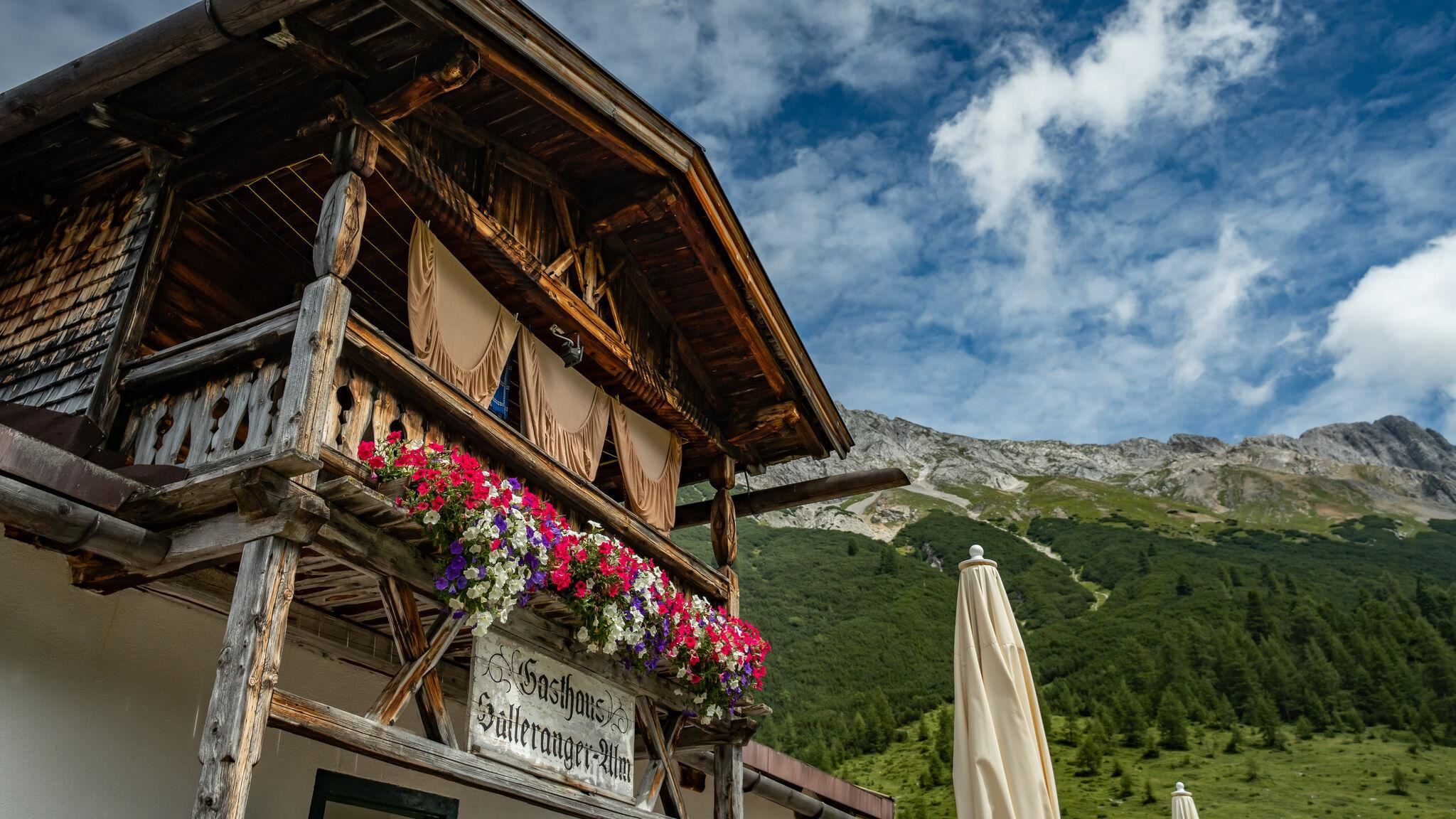
 Historic site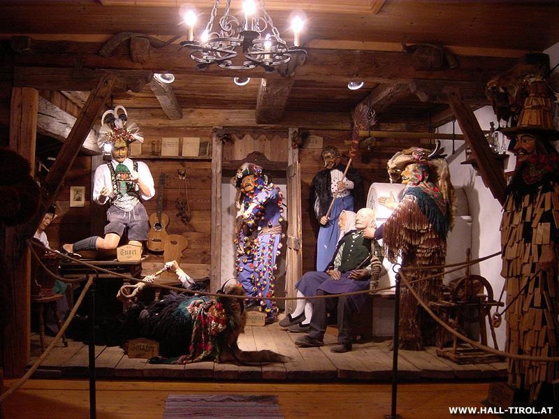






















Curated by Region Hall-Wattens
Absam
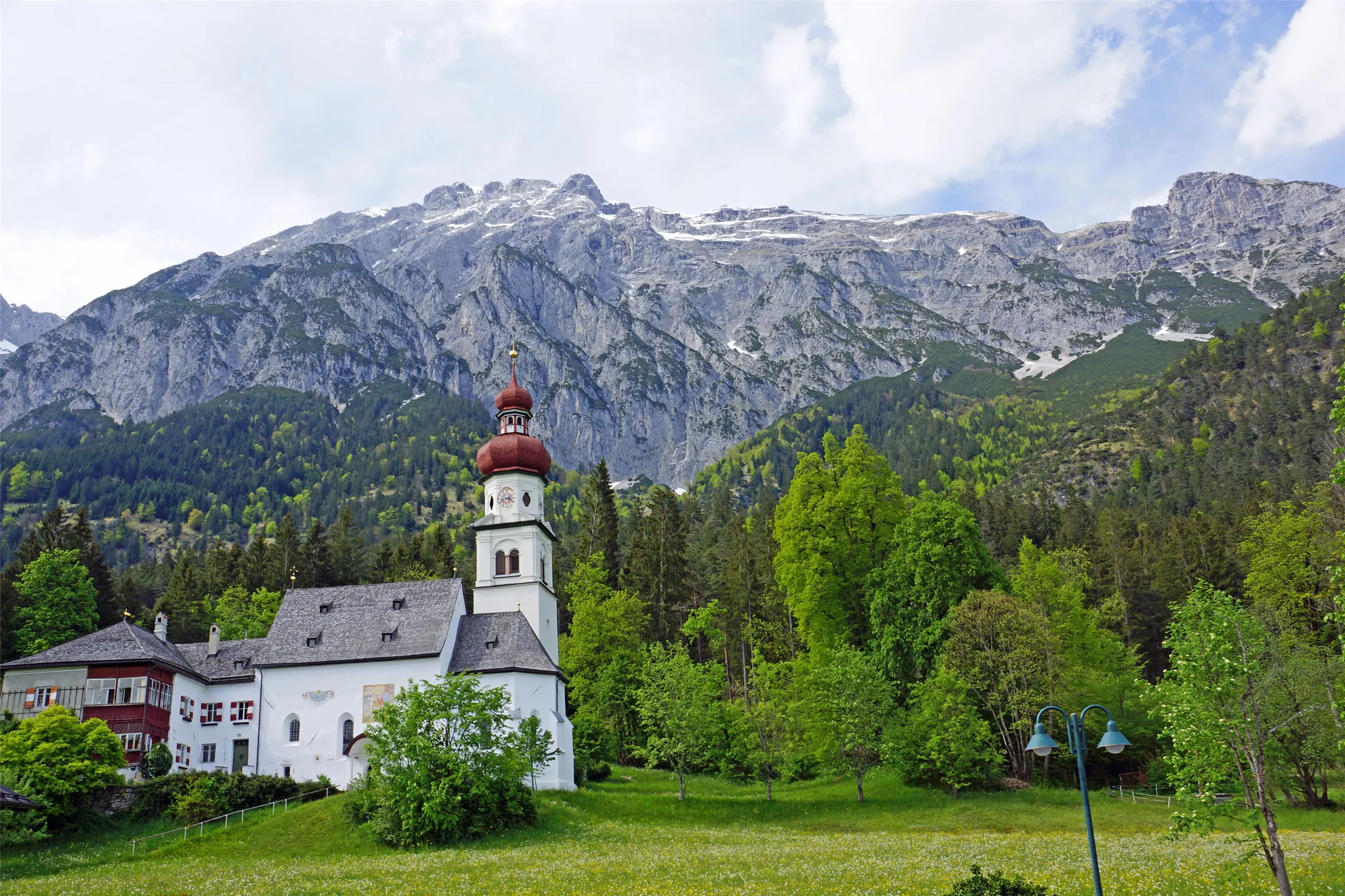
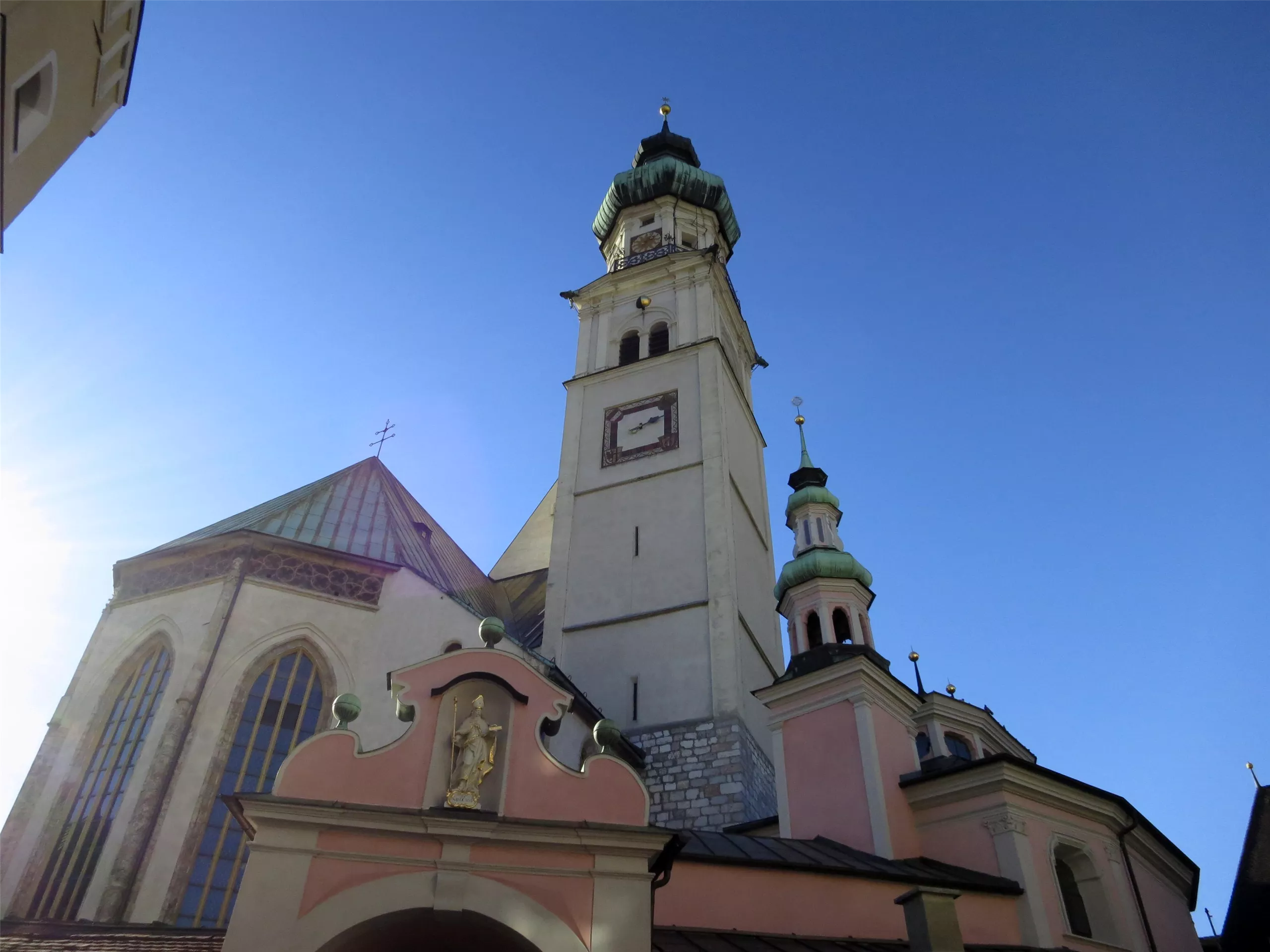
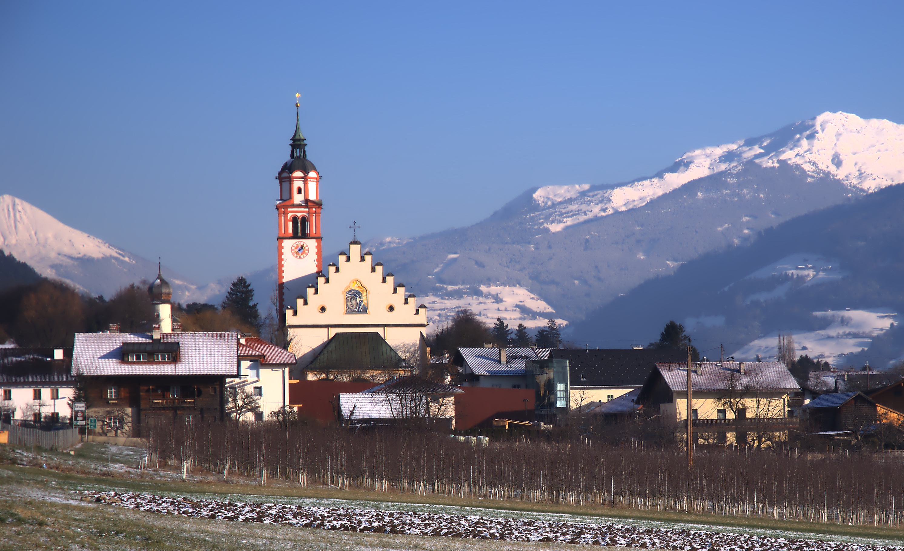
At the foot of the Bettelwurf walls on the Inn's north side near Hall, a pilgrimage village whose Marian shrine was raised to a basilica in 2000.
Photo: Haneburger · CC BY-SA 3.0 licence
- 5Highlights
- 53Routes
- Featured summit · Großer Bettelwurf
Highlights
10 from neighbouring places
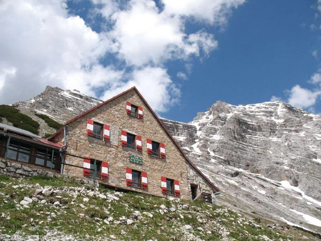
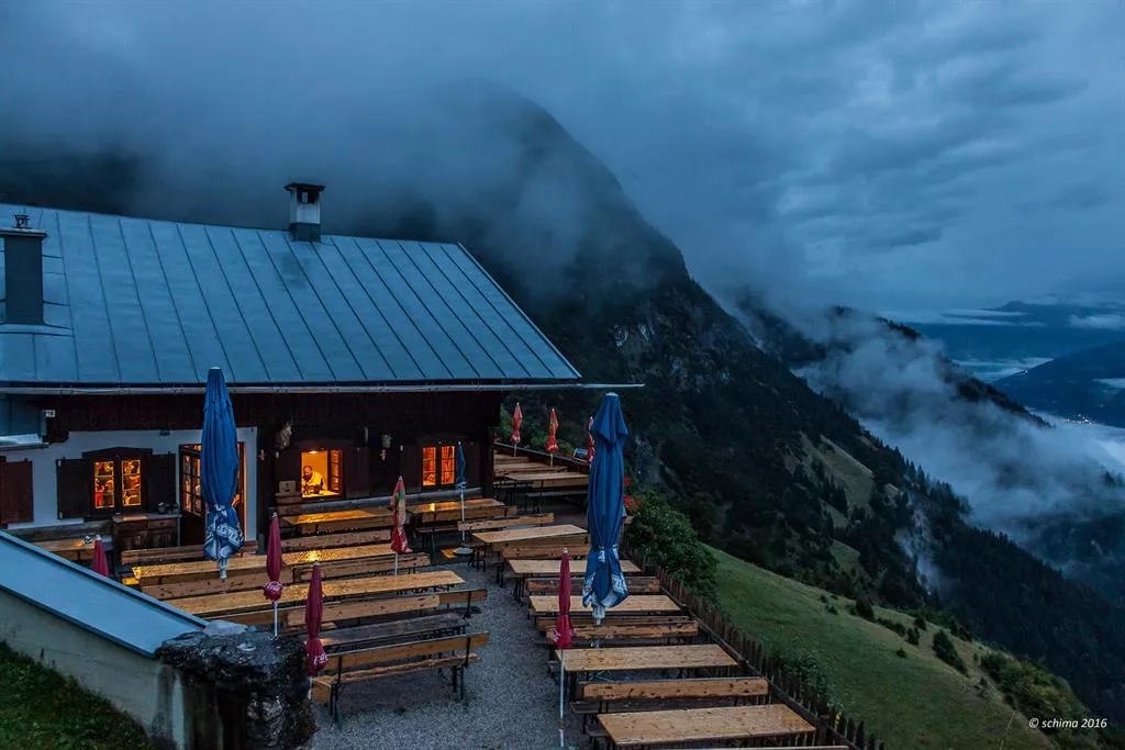
Bettelwurfhütte
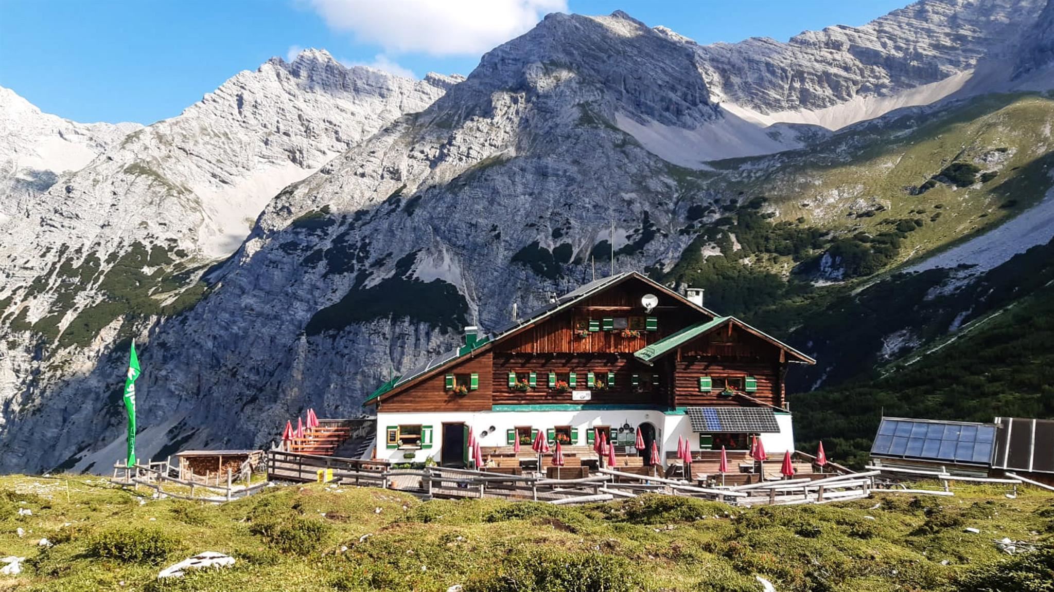
A mountain refuge high on the flank of the Bettelwurf in the Karwendel above Absam, reached from the Halltal and serving regional dishes.
Halleranger Alm
An alm deep in the Karwendel at the Halleranger, reached on long valley routes from Scharnitz and lodging hut-to-hut walkers.
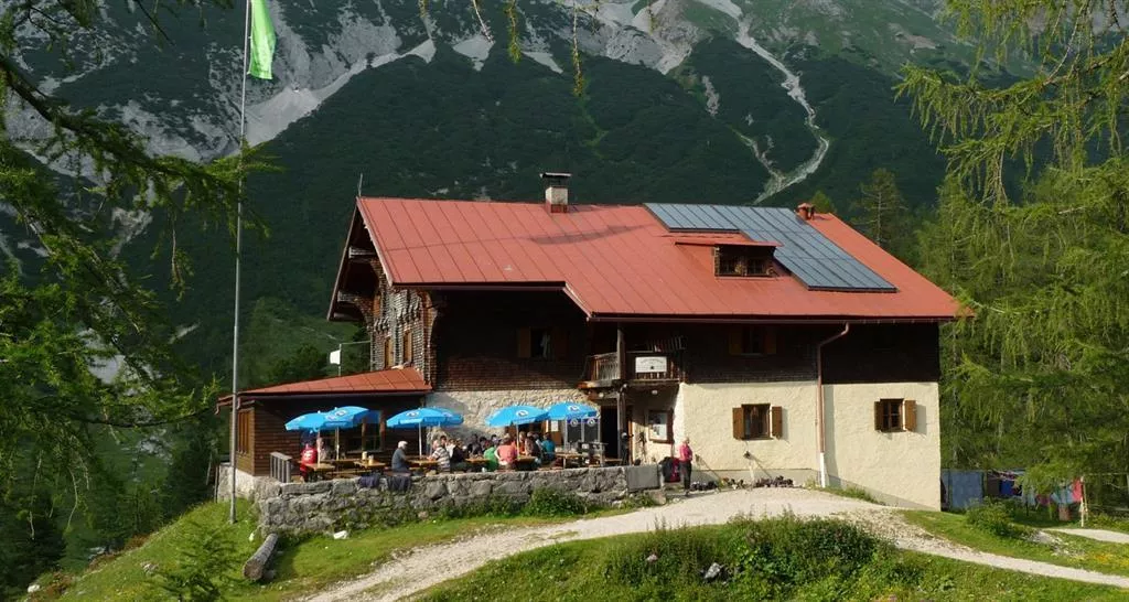
Hallerangerhaus
An alpine club house in the Halleranger basin of the Karwendel above Absam, a base for valley crossings towards Scharnitz and climbs on the surrounding peaks.
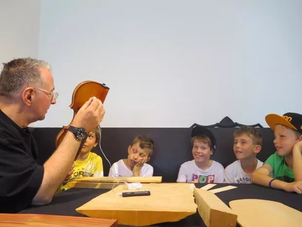
Gemeindemuseum Absam
The local museum of Absam, covering village history in the home village of the 17th-century violin maker Jakob Stainer.
Matschgerermuseum Absam
A museum in Absam on the Matschgerer, the village's traditional carnival figures, showing their carved wooden masks and costumes.
Kloster St. Martin
4.2 km away, in Gnadenwald
A monastery at St. Martin in Gnadenwald, 879 m on the terrace above the Inn valley, its church a stop on walks through the scattered hamlet.
Thaurer Alm
4.3 km away, in Thaur
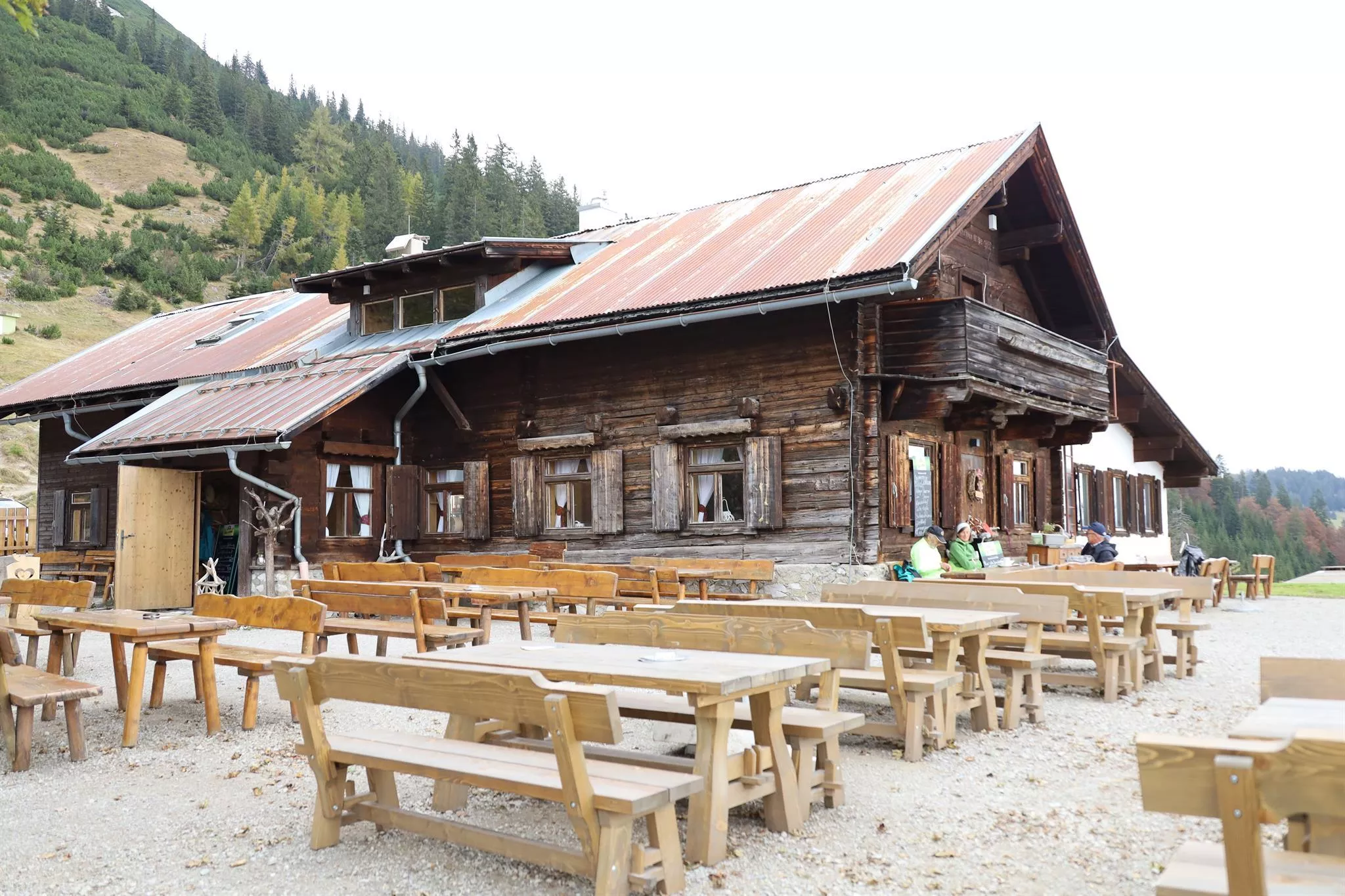
A pasture hut above Thaur at the foot of the Karwendel walls, a well-used lunch stop serving Tyrolean dishes on the way to the Thaurer Joch.
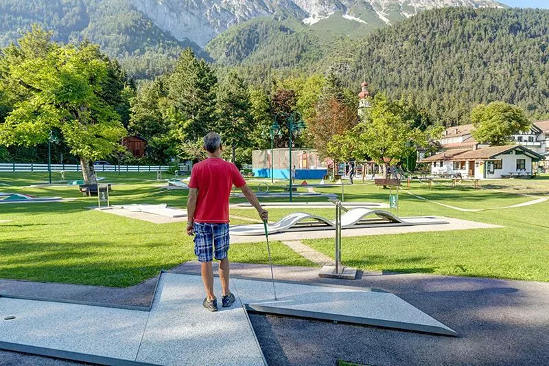
Speckis Kinderparadies & Minigolf
4.3 km away, in Gnadenwald
A family leisure ground at Gnadenwald, 879 m on the sunny terrace above the Inn valley, with minigolf, trampolines, table tennis and playgrounds.
rundumthaur | Schauraum und interaktiver Rundgang
4.4 km away, in Thaur
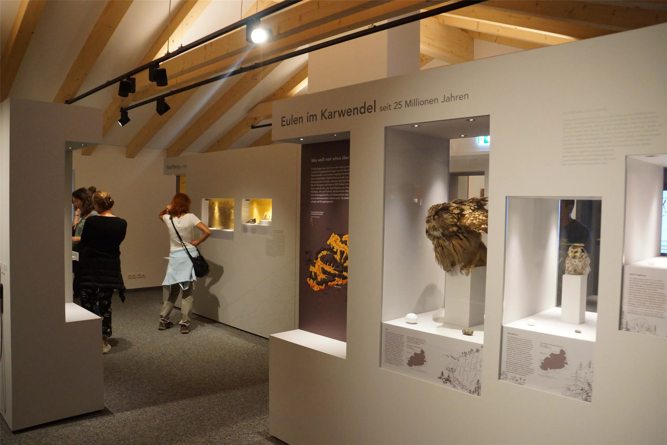
A showroom and interactive circuit in Thaur linking finds and stories from the castle ruin with the history of the village below it.
Romediwirt
4.4 km away, in Thaur
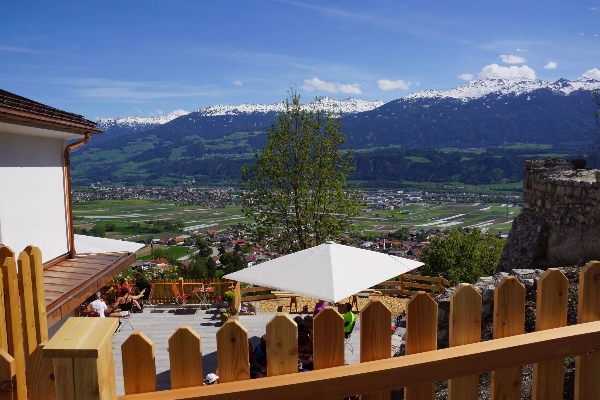
An inn on the hill at Thaur next to the Romedikirche pilgrimage church, serving Austrian cooking with a beer garden and valley views.
Romedikirche
4.4 km away, in Thaur
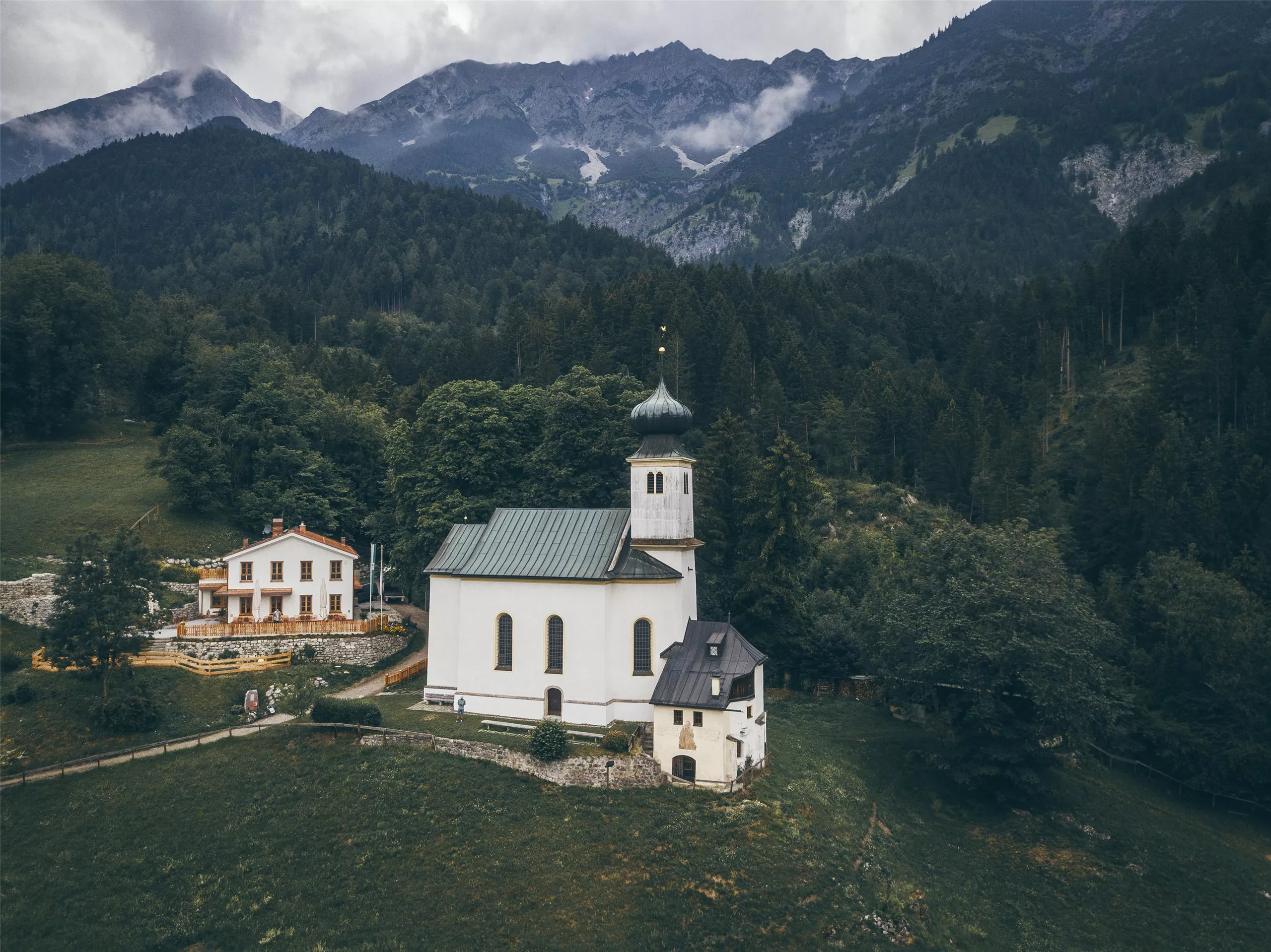
A pilgrimage church of St Romedius on a hill above Thaur, standing beside the castle ruin and reached by a short walk from the village.
Ruine Thaur
4.5 km away, in Thaur
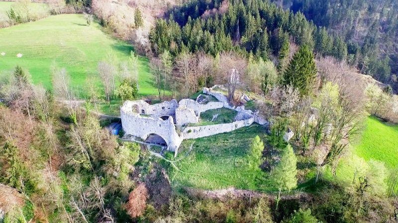
The ruin of a medieval castle on a hill above Thaur, once an administrative seat; the partly excavated walls are freely accessible on a short climb.
Hinterhornalm
4.8 km away, in Gnadenwald
A pasture inn above Gnadenwald on the southern rim of the Karwendel, with wide views over the Inn valley and a path on towards the Hundskopf.
Pfeishütte
5.7 km away, in Thaur
An Alpine Club hut at about 1,920 m below the Stempeljoch in the Karwendel, on hut-to-hut routes between the Nordkette and Scharnitz.
Pfarrkirche St. Nikolaus
5.8 km away, in Hall in Tirol
The Gothic parish church of Hall in Tirol, dedicated to St Nicholas, whose broad nave anchors the upper square of the medieval old town.
Nothing of this kind in Absam.
Routes
50 routes, an even mix of activities · see the rest on hall-wattens.at ↗
Absamer Klettersteig
Demanding via ferrata above the Halltal that gains more than 1,100 m in 2.5 km, finishing on the sun terrace of the Bettelwurfhütte.
- 2.5 km
- Distance
- 1 127 m
- Ascent
- 4 h 47 min
- Duration
- 22
- Check-ins
Felix-Kuen-Klettersteig am Hundskopf
Short and fairly straightforward via ferrata from the Hinterhornalm to the Hundskopf, 713 m of height gain by the Mannl- und Weibelescharte.
- 2.1 km
- Distance
- 706 m
- Ascent
- 2 h 55 min
- Duration
- 12
- Check-ins
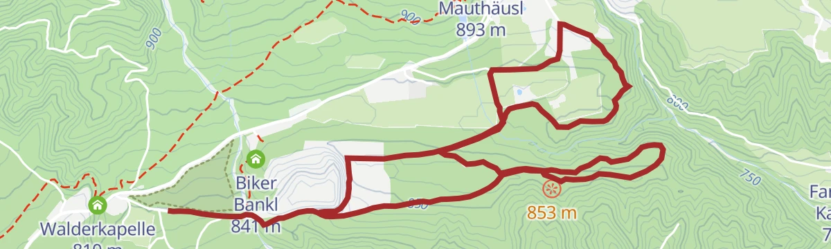
Die Runstboden Runde im Halltal
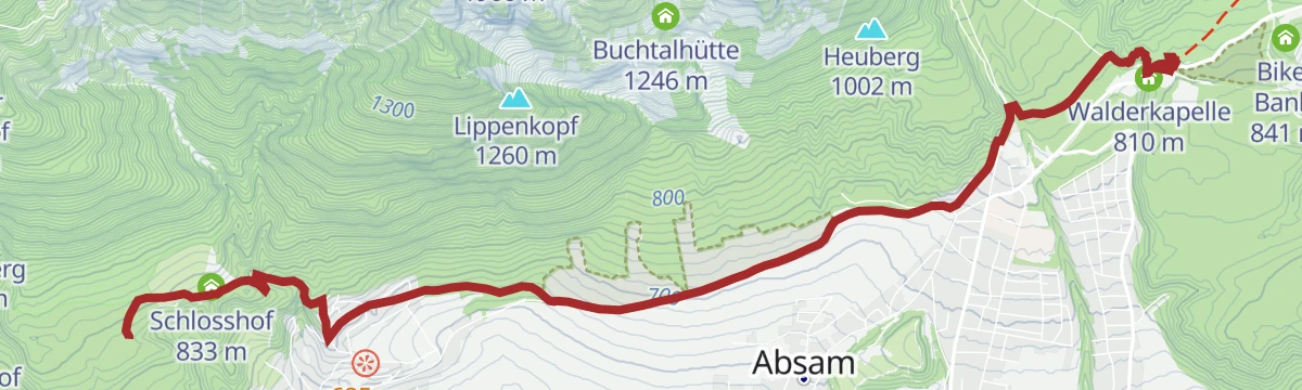
Easy 4.6 km loop up a forest road to the Runstboden west of the Halltal, where a bench marks the high point before the path drops back past the Bergerkapelle.
- 4.6 km
- Distance
- 180 m
- Ascent
- 1 h 31 min
- Duration
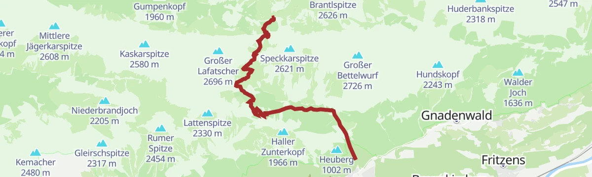
München - Venedig: Vom Halleranger nach Hall
Stage of the Munich-to-Venice route, 14.8 km from the Hallerangerhaus over the Lafatscher Joch and down the Halltal past St. Magdalena into Hall.
- 14.8 km
- Distance
- 342 m
- Ascent
- 5 h 40 min
- Duration
- 42
- Check-ins
Adlerweg-Etappe 12: Hallerangerhaus - Nordkette Innsbruck
Eagle Walk stage crossing the Karwendel from the Hallerangerhaus to the Pfeishütte, then continuing over the Mühlkarscharte to the Nordkette lifts above Innsbruck.
- 18.0 km
- Distance
- 1 204 m
- Ascent
- 8 h 6 min
- Duration
- 169
- Check-ins
Hinterhornalm mittelschwere MTB Tour in Gnadenwald, Tirol
A direct climb on the toll road from Mauthäusl up to the alm at just over 1,500 m on the slopes above Gnadenwald.
- 6.0 km
- Distance
- 633 m
- Ascent
- 1 h 1 min
- Duration
- 19
- Check-ins
Bike & Hike Sunntigerspitze, 2.321 m
A long day from Scharnitz, riding the Hinterautal to the Hallerangerhaus and climbing the Sunntigerspitze on foot from there.
- 42.9 km
- Distance
- 1 357 m
- Ascent
- 5 h 5 min
- Duration
- 51
- Check-ins
Bike & Hike Hallerangerhaus-Hallerangeralm
A ride up the Hinterautal from Scharnitz as far as the track allows, then the walk in to the Hallerangerhaus at 1,768 m.
- 38.0 km
- Distance
- 1 181 m
- Ascent
- 4 h 29 min
- Duration
- 50
- Check-ins
Gnadenwaldrunde leichte Nordic Walking Runde in Gnadenwald, Tirol
A gently graded Nordic-walking loop on the Gnadenwald terrace, running mostly through mixed woodland above the Inn valley.
- 6.8 km
- Distance
- 162 m
- Ascent
- 1 h 59 min
- Duration
Karwendel Höhenweg - Gehrichtung Reith- Scharnitz (Etappe 4): Pfeishütte - Bettelwurfhütte
Fourth stage of the high route, 9 km from the Pfeishütte over the Stempeljoch to the Bettelwurfhütte on a path laid out by the Wilde Bande climbers in 1929.
- 9.0 km
- Distance
- 560 m
- Ascent
- 3 h 33 min
- Duration
- 41
- Check-ins
Adlerweg Etappe 12: Aus der Bergeinsamkeit in die Stadt
Karwendel crossing from the Hallerangerhaus over the Gleirschjöchl and the Pfeishütte to the Hafelekarspitze, a run of climbs and drops adding up to 1,949 m.
- 13.1 km
- Distance
- 1 907 m
- Ascent
- 10 h 6 min
- Duration
- 128
- Check-ins
Tour Herrenhäuser MTB Tour 5000
A climb into the Halltal past the Ladhütten and the cableway to the Bettelwurfhütte, topping out near the Knappenhäusl at 1,490 m.
- 5.3 km
- Distance
- 716 m
- Ascent
- 1 h 5 min
- Duration
- 17
- Check-ins
Bike & Hike Hallerangerhaus-Hallerangeralm
A long day in the Karwendel from Scharnitz, riding the valley floor and finishing on foot at the Hallerangerhaus and its Winterraum.
- 38.0 km
- Distance
- 870 m
- Ascent
- 4 h 11 min
- Duration
- 50
- Check-ins
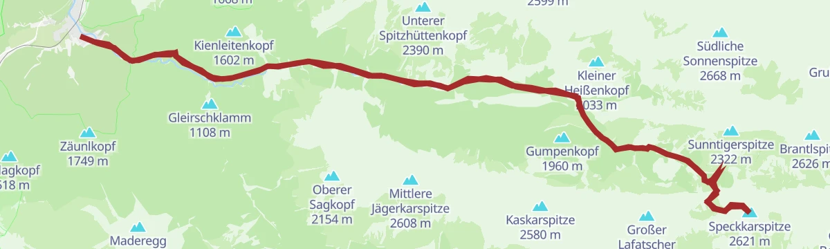
Bike & Hike Speckkarspitze, 2.621 m
A long ride through the Hinterautal to the Hallerangerhaus, the starting point for the walk up the Speckkarspitze.
- 42.6 km
- Distance
- 1 964 m
- Ascent
- 5 h 38 min
- Duration
- 49
- Check-ins
Karwendel Höhenweg - Etappe 4
Hut-to-hut Karwendel stage from the Bettelwurfhütte over the Lafatscher Joch and Stempeljoch to the Pfeishütte — a rocky traverse of the range's inner cirques, with bus and rail links at both trailheads.
- 9.0 km
- Distance
- 663 m
- Ascent
- 4 h 21 min
- Duration
- 41
- Check-ins
Adlerweg-Etappe 12: Hallerangerhaus /Halleranger Alm– Nordkette Innsbruck
An 18 km traverse from the Hallerangerhaus to the Hafelekar on Innsbruck's Nordkette, passing the Zugspitzblick and the Pfeishütte before the city comes into view.
- 18.0 km
- Distance
- 1 223 m
- Ascent
- 10 h 26 min
- Duration
- 123
- Check-ins
Bike & Hike Speckkarspitze, 2.621 m
A long ride up the Hinterautal to the Hallerangerhaus, where the bike is left for the climb to the Speckkarspitze.
- 42.6 km
- Distance
- 1 640 m
- Ascent
- 5 h 20 min
- Duration
- 49
- Check-ins
Rennrad 17 Highway to Höll - auf den Spuren der Rad WM 2018
A long ride on the roads of the 2018 world championships, out along the Inn valley and up to the Hungerburg terrace above Innsbruck.
- 110.0 km
- Distance
- 1 100 m
- Ascent
- 10 h 47 min
- Duration
- 42
- Check-ins
Karwendel Höhenweg - Gehrichtung Reith-Scharnitz (Etappe 5): Bettelwurfhütte - Hallerangerhaus
Day stage of 9.4 km from the Bettelwurfhütte over the Großer Bettelwurf and the Lafatscher Joch to the Hallerangerhaus, with 800 m of climb and views into the Vomperloch.
- 9.5 km
- Distance
- 757 m
- Ascent
- 5 h 28 min
- Duration
- 37
- Check-ins
Der Wilde Bande Steig
Demanding 18.7 km traverse on the path built in 1929 between the Lafatscher Joch and the Stempeljoch, with almost 2,000 m of climb by the Pfeishütte and the Mandlscharte.
- 18.7 km
- Distance
- 1 992 m
- Ascent
- 9 h 21 min
- Duration
- 92
- Check-ins
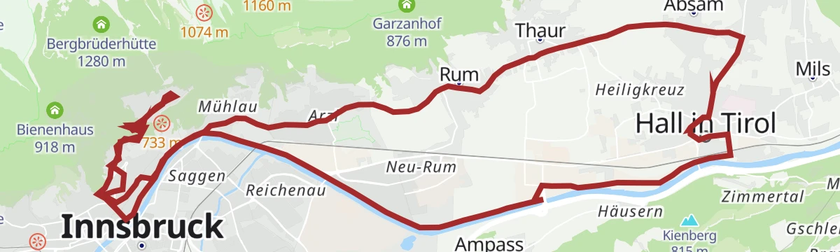
Über dem Inntal mittelschwere Rennradtour in Hall Tirol
A route high above the Inn valley from Hall in Tirol to the Hungerburg terrace at about 860 m on the north side of Innsbruck.
- 32.8 km
- Distance
- 424 m
- Ascent
- 3 h 18 min
- Duration
- 27
- Check-ins
Rennrad 14 Hinterhorn Alm
A long road day up the Inn valley from Radfeld, finishing with the toll-road climb to the alm at 1,522 m north of Hall in Tirol.
- 93.9 km
- Distance
- 1 328 m
- Ascent
- 9 h 35 min
- Duration
- 36
- Check-ins
Karwendel Höhenweg - Von der Bettelwurfhütte zum Hallerangerhaus
From the Bettelwurfhütte an optional pull to the 2,726 m Großer Bettelwurf, the high point of the route, then over the Lafatscher Joch to the Hallerangerhaus.
- 9.1 km
- Distance
- 787 m
- Ascent
- 5 h 34 min
- Duration
- 37
- Check-ins
Der Goethe Weg in Tirol
From the Hafelekar top station of the Nordkettenbahn, a ridge route with repeated ups and downs to the Pfeishütte at 1,922 m, then down the Halltal to Absam.
- 15.9 km
- Distance
- 429 m
- Ascent
- 6 h 46 min
- Duration
- 89
- Check-ins
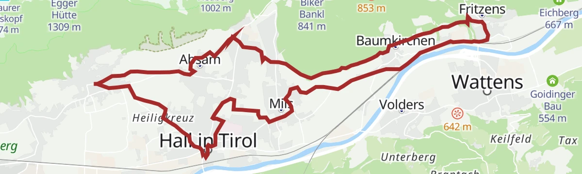
Kulinarische Radtour. Durch die Region
An easy-going tour through the Hall-Wattens region, linking the villages of the lower Inn valley between Fritzens and Wattens.
- 26.4 km
- Distance
- 315 m
- Ascent
- 2 h 38 min
- Duration
- 3
- Check-ins
Innsbruck - Hinterhornalm
A road climb from Innsbruck's old town up the toll road above Thaur to the Hinterhorn Alm at 1,522 m, and the same way back.
- 41.5 km
- Distance
- 1 168 m
- Ascent
- 4 h 47 min
- Duration
- 21
- Check-ins
Karwendel Höhenweg - Etappe 5
Karwendel stage from the Bettelwurfhütte over the Lafatscher Joch to the Hallerangerhaus, with the option of adding the Großer Bettelwurf en route; train and bus serve both ends.
- 9.5 km
- Distance
- 817 m
- Ascent
- 5 h 11 min
- Duration
- 37
- Check-ins
Durch das Halltal zum imposanten Bettelwurf
Big day of 22.6 km and nearly 2,200 m of climb through the Halltal, taking the Kleiner Bettelwurf first and traversing on to the Großer Bettelwurf.
- 22.5 km
- Distance
- 2 174 m
- Ascent
- 13 h 28 min
- Duration
- 56
- Check-ins
Über die MARTHA Dörfer und das Tulfer Plateau
A round over the mid-mountain villages east of Innsbruck, topping out near Rinn at about 930 m before dropping back to the valley floor.
- 39.5 km
- Distance
- 659 m
- Ascent
- 4 h 7 min
- Duration
- 3
- Check-ins
Innsbruck Hochplateau Ride
A demanding tour over the terraces above the Inn valley, taking in the Goldbichl and a string of mid-mountain farms and inns.
- 107.7 km
- Distance
- 2 530 m
- Ascent
- 11 h 57 min
- Duration
- 21
- Check-ins
Durch das Halltal zum Kleinod Issanger
Up the Halltal past St. Magdalena and the old salt-mining buildings to the Issanger meadows below the Issjöchl, some 900 m of climbing in all.
- 13.7 km
- Distance
- 893 m
- Ascent
- 6 h 3 min
- Duration
- 27
- Check-ins
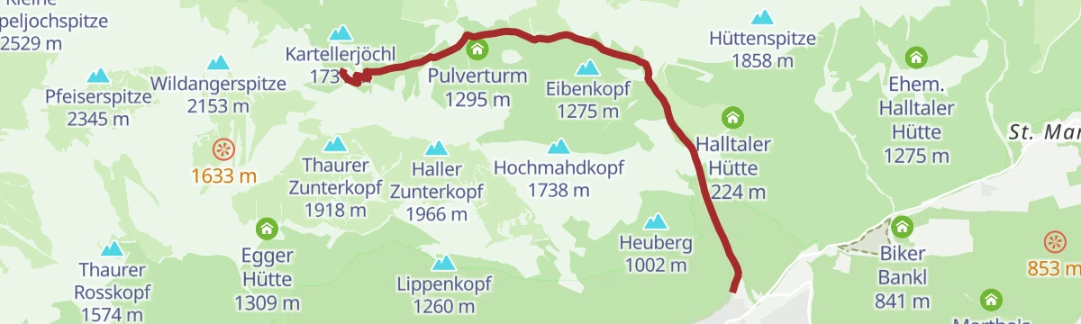
Zur Bettelwurfhütte über das Lafatscherjoch
Nearly 1,500 m of climbing through the Halltal and over the Lafatscher Joch to the Bettelwurfhütte, high in the Karwendel above Absam.
- 18.3 km
- Distance
- 1 472 m
- Ascent
- 9 h 29 min
- Duration
- 50
- Check-ins
UCI Straßenrad WM 2018 Einzelzeitfahren
The 2018 world championship time-trial course, running along the Inn valley from Wattens into the old town of Innsbruck.
- 28.6 km
- Distance
- 226 m
- Ascent
- 2 h 45 min
- Duration
- 2
- Check-ins
Bike & Hike Sunntigerspitze, 2.321 m
A short but steep approach past the Lafatsch-Niederleger to the Halleranger huts, from where the Sunntigerspitze is climbed.
- 15.8 km
- Distance
- 1 179 m
- Ascent
- 2 h 56 min
- Duration
- 12
- Check-ins
Abwechslungsreiche Wanderung entlang des Adolf- Pichler-Weges
An 11.3 km hillside route from Absam over meadows and through woods to the Hungerburg above Innsbruck, with 360 m of climb.
- 11.3 km
- Distance
- 340 m
- Ascent
- 3 h 22 min
- Duration
- 23
- Check-ins
Durch das Halltal zur Hallerangeralm und zum Hallerangerhaus
Climb of 1,344 m up the rocky Halltal to the Lafatscher Joch, then an easier crossing to the Hallerangeralm and the Hallerangerhaus at the head of the Hinterautal.
- 11.6 km
- Distance
- 1 327 m
- Ascent
- 6 h 9 min
- Duration
- 43
- Check-ins
After Work
An evening round on the terraces above Hall in Tirol, over the Palmbühel and past the Walderkapelle and the Großer Weiher at 630 m.
- 49.9 km
- Distance
- 1 032 m
- Ascent
- 5 h 24 min
- Duration
- 8
- Check-ins
Zum Alpengasthaus St. Magdalena im Halltal
A climb through the Halltal on the Fluchtsteig to the inn at St. Magdalena, some 500 m above the valley entrance, past the two Ladhütten.
- 7.2 km
- Distance
- 509 m
- Ascent
- 3 h 22 min
- Duration
- 16
- Check-ins
Karwendel Höhenweg - Gehrichtung Reith-Scharnitz (Etappe 6): Hallerangerhaus - Scharnitz
Closing stage of the high route, 19.5 km of descent and level walking from the Hallerangerhaus down the Hinterautal to Scharnitz.
- 19.5 km
- Distance
- 34 m
- Ascent
- 5 h 24 min
- Duration
- 40
- Check-ins
Rund um Innsbruck
A long road loop over the terraces east of Innsbruck, through Rinn and Ampass and down to the Inn at Fritzens and Wattens.
- 60.6 km
- Distance
- 1 464 m
- Ascent
- 6 h 45 min
- Duration
- 8
- Check-ins
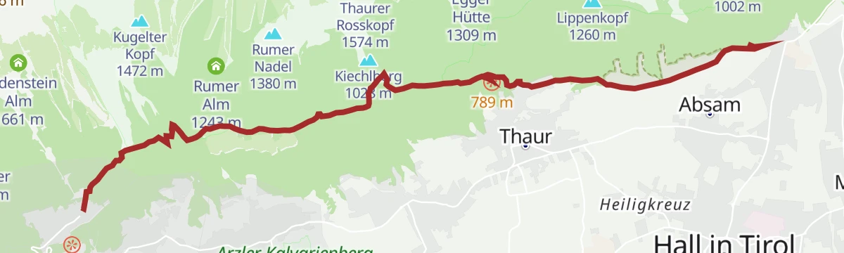
Bergsagen Weitwanderweg: Etappe 3 von Tulfes nach Thaur
Third Bergsagen stage, 13.8 km from Tulfes through the medieval town of Hall in Tirol and the pilgrimage village of Absam, then across the Inn to Thaur.
- 13.7 km
- Distance
- 263 m
- Ascent
- 4 h 9 min
- Duration
- 4
- Check-ins
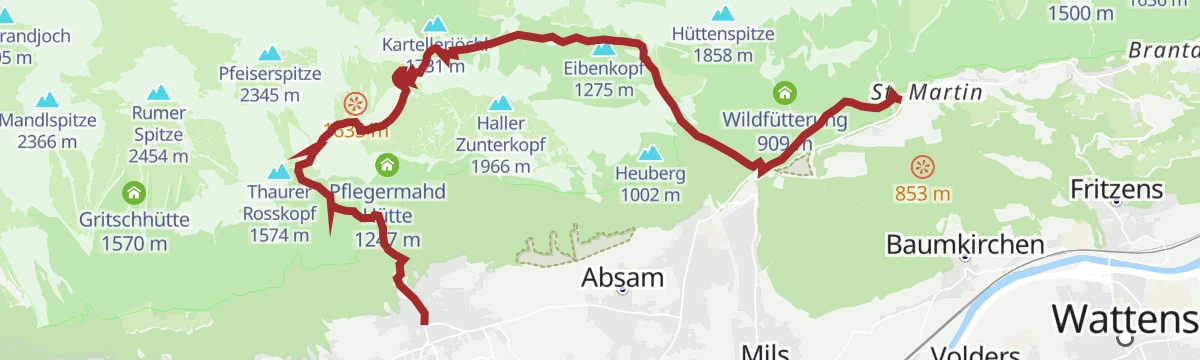
Bergsagen Weitwanderweg: Etappe 4 von Thaur nach Gnadenwald
Fourth Bergsagen stage in the Karwendel nature park, 16.2 km with a long 1,300 m climb before the descent into the Halltal and out to Gnadenwald.
- 16.2 km
- Distance
- 1 296 m
- Ascent
- 7 h 52 min
- Duration
- 38
- Check-ins
Verbindungsstrecke Bogner Aste - Thaur
A well-used link along the Adolf-Pichler-Weg from Bogner Aste to Thaur, passing the Walderkapelle on the wooded terrace above the Inn.
- 7.4 km
- Distance
- 198 m
- Ascent
- 2 h 11 min
- Duration
- 3
- Check-ins
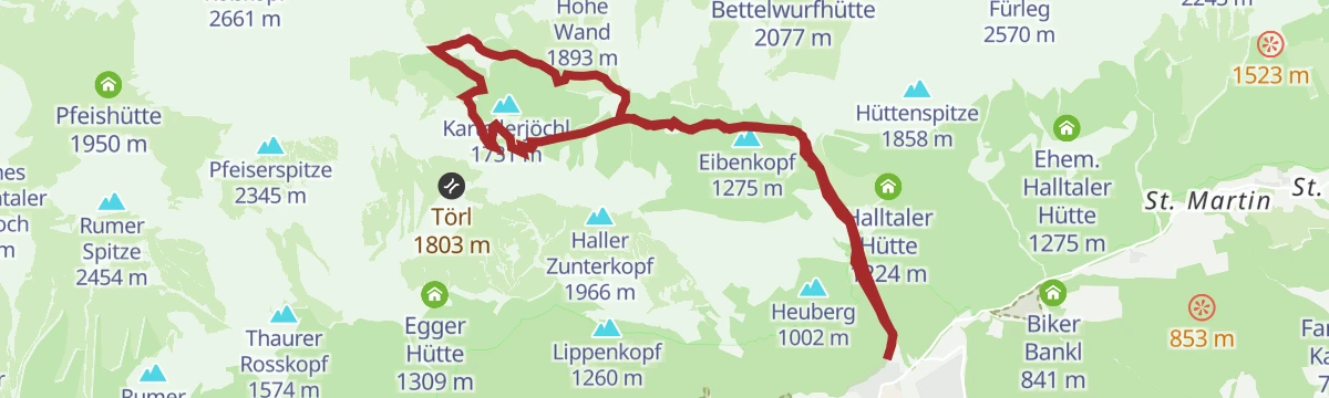
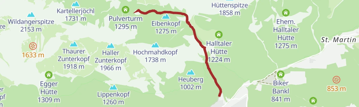
Durch das Halltal auf das Lafatscherjoch
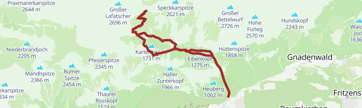
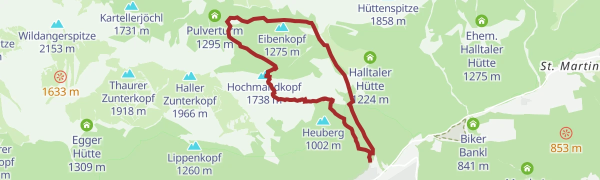
A long day up the rough Halltal to the Lafatscher Joch, taking in the Eibenkopf and the old Knappenhäusl, with 1,365 m of climbing.
- 17.5 km
- Distance
- 1 351 m
- Ascent
- 8 h 46 min
- Duration
- 33
- Check-ins
Runstbodenrunde mittelschwere Nordic Walking Runde in Absam, Tirol
A Nordic-walking round out of Absam that takes in a stretch of the Halltal and the Walderkapelle, with just over 300 m of climbing.
- 7.3 km
- Distance
- 215 m
- Ascent
- 2 h 15 min
- Duration
- 2
- Check-ins
München - Venedig: Durch das Wattental zur Lizumer Hütte
Long stage of 26.7 km and 1,604 m of climb up the Wattental to the Lizumer Hütte, with a shorter variant if the weather or your legs argue against the full line.
- 26.7 km
- Distance
- 1 606 m
- Ascent
- 9 h 6 min
- Duration
- 33
- Check-ins
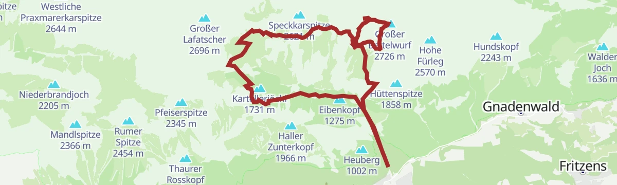
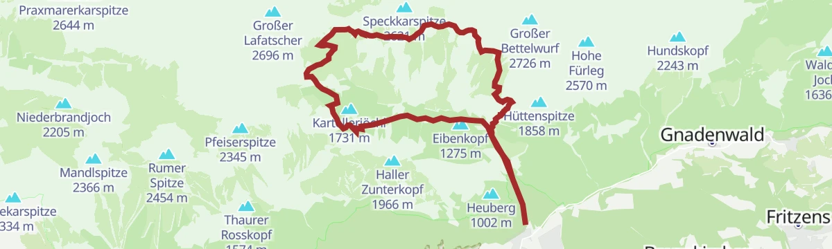
Speckkarspitze schwere Bergtour im Halltal, Tirol
Demanding 21.4 km ascent of the rock pyramid of the Speckkarspitze out of the Halltal, with over 2,000 m of climb by way of the Lafatscher Joch.
- 21.5 km
- Distance
- 2 142 m
- Ascent
- 13 h 9 min
- Duration
- 30
- Check-ins
Auf den aussichtsreichen Hochmahdkopf
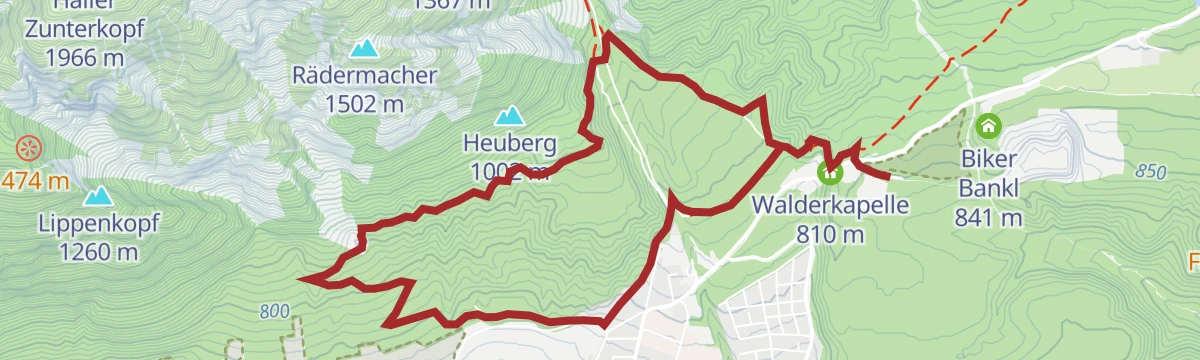
A steep 960 m pull from the Halltal to the Hochmahdkopf and on over the Rädermacher, with the Absamer Rodelhütte on the way.
- 8.1 km
- Distance
- 986 m
- Ascent
- 5 h 51 min
- Duration
- 29
- Check-ins
Wildangerspitze
Demanding 14.9 km ascent of the Wildangerspitze out of the Halltal, with over 1,500 m of climb past the old salt-mining buildings.
- 14.9 km
- Distance
- 1 501 m
- Ascent
- 8 h 57 min
- Duration
- 29
- Check-ins
Über die Thaurer Alm zum Törl und in das Halltal
Demanding 13.4 km crossing over the pastures of the Thaurer Alm and the Törl gap, dropping into the Halltal with its mining history.
- 13.4 km
- Distance
- 1 163 m
- Ascent
- 7 h 9 min
- Duration
- 29
- Check-ins
No routes of this kind in Absam yet.
The region's own picks
Featured route
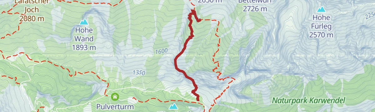
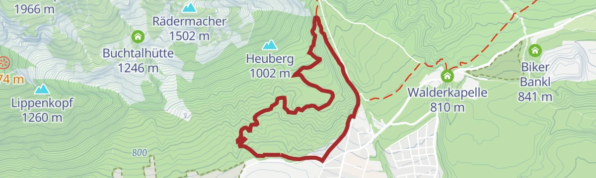
Die Runstboden Runde im Halltal
Easy 4.6 km loop up a forest road to the Runstboden west of the Halltal, where a bench marks the high point before the path drops back past the Bergerkapelle.
Planning a trip to Absam?
Everything else Tyrol has, in one place


Take Absam with you into the mountains
Every route on this page with 3D terrain, GPX navigation and offline maps — including the valleys with no signal.
Data sources
- Official website: hall-wattens.at ↗
- Routes and highlights: Region Hall-Wattens, Region Seefeld, Innsbruck Tourismus, Alpbachtal Tourismus
- Published as open data by the tourist boards named above.
- Region summary generated from the board's own material.
