We use necessary cookies to make the website work, also they are used to understand site usage and make improvements.
Accept
Reject
PeakVisor
Explorer
Explorer
Ski Map
Hike Map
3D Map
Get PeakVisor App
Sign In
Search by GPS coordinates
Teleport
Latitude
N
S
°
'
''
Longitude
E
W
°
'
''
Units of Length
m/km
ft/mi
Explorer
Ski Map
Hike Map
3D Map
Search by GPS coordinates
Settings
Sign In
Contact us
GPS coordinates
Settings
Share
×
Copy Link
Copy Coordinates
Facebook
Twitter
Email
Scan the QR code and open PeakVisor on your phone
❤ Wishlist
×
Choose
Delete
Mark Ream
Mountain
26
Mountain Hut
0
Mountain pass
21
Lake
2
Ultra
1
Highest check-in
Peak:
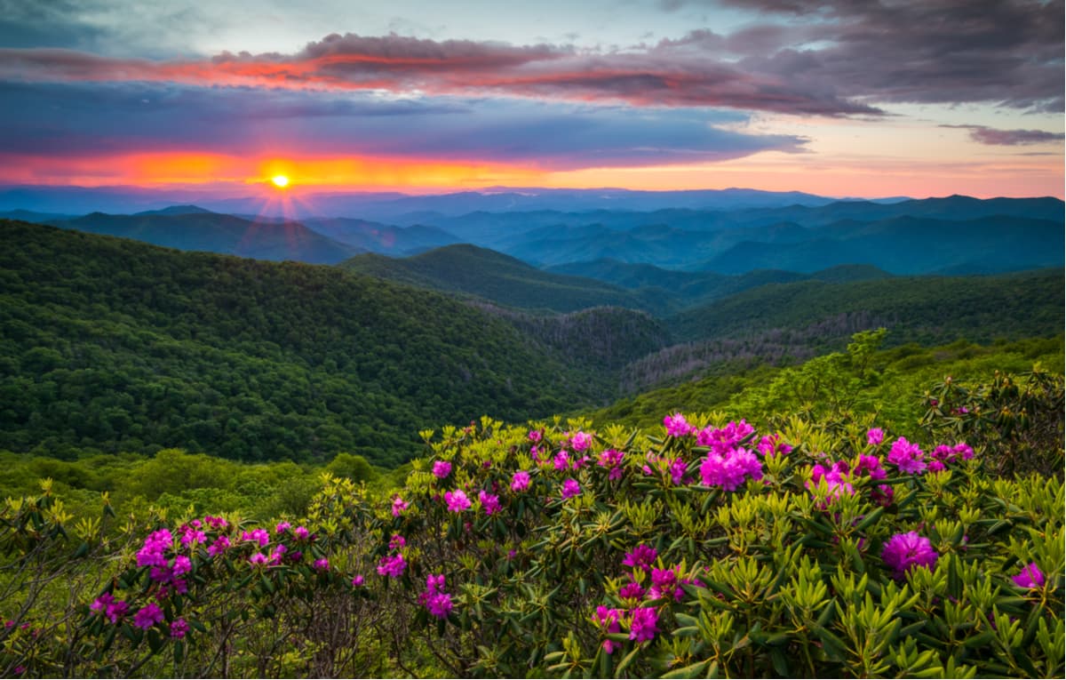
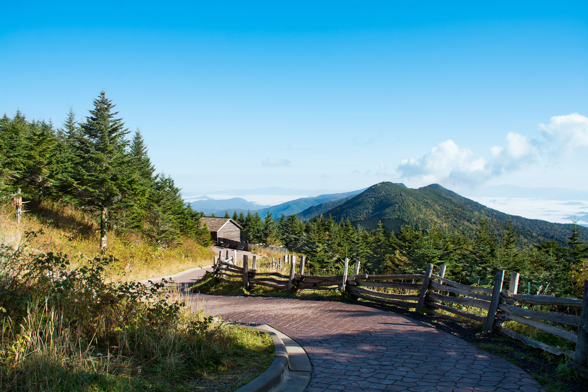
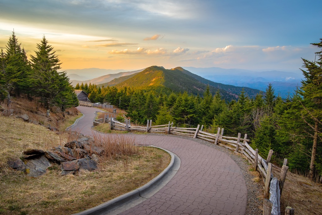
Mount Mitchell
Elevation:
2 038 m
Most prominent check-in
Peak:
Mount Mitchell
Prominence:
1 862 m
48 check-ins
By Date
By Date
By Elevation
By Prominence
Pine Mountain
1693681363
1 684 m
(prom:
33 m
)
Lower Mirror Lake
1687736215
1 246 m
Bald Knob
1685288888
1 237 m
(prom:
194 m
)
Cowcamp Gap
1685286412
1 059 m
Cole Mountain
1685283247
1 225 m
(prom:
167 m
)
Hog Camp Gap
1685231591
1 065 m
Tar Jacket Ridge
1685228554
1 173 m
(prom:
109 m
)
Salt Log Gap
1685224434
990 m
The Priest
1685154043
1 239 m
(prom:
245 m
)
Elkwallow Gap
1667137157
748 m
Knob Mountain
1667055934
873 m
(prom:
202 m
)
Commissary Hill
1657924076
1 759 m
(prom:
3 m
)
Mount Mitchell
1657910466
2 038 m
(prom:
1 862 m
)
Lake Quigley
1655647467
81 m
Crampton Gap
1655563738
283 m
Lambs Knoll
1655554317
536 m
(prom:
218 m
)
Fox Gap
1655489333
323 m
Turners Gap
1655484581
327 m
Monument Knob
1655476667
471 m
(prom:
106 m
)
Pine Knob
1655468412
521 m
(prom:
11 m
)
Black Rock
1655410409
562 m
(prom:
107 m
)
Black Rock Gap
1655407693
517 m
Raven Rock
1655378906
515 m
(prom:
10 m
)
High Rock
1655325781
559 m
(prom:
3 m
)
Saddle Gap
1650728509
787 m
Saltlog Gap
1650726399
804 m
Bluff Mountain
1650722195
1 028 m
(prom:
394 m
)
High Knob
1649770063
822 m
(prom:
82 m
)
Neil Gap
1649766617
876 m
Chestnut Knob
1649711256
1 177 m
(prom:
156 m
)
Cat Pen Gap
1649710062
1 092 m
Cat Gap
1649708067
1 006 m
Sandy Gap
1649707191
1 105 m
Low Gap
1649695732
980 m
Chestnut Mountain
1649693623
1 129 m
(prom:
125 m
)
Rich Mountain
1649689991
1 089 m
(prom:
70 m
)
Gloucester Gap
1649688595
992 m
Pilot Mountain
1649682931
1 555 m
(prom:
169 m
)
Farlow Gap
1649621013
1 387 m
Silvermine Bald
1649614530
1 822 m
(prom:
29 m
)
Ivestor Gap
1649601765
1 735 m
Shining Rock Ledge
1649599344
1 831 m
(prom:
18 m
)
Flower Gap
1649598397
1 765 m
Flower Knob
1649598289
1 795 m
(prom:
31 m
)
Shining Rock Gap
1649542374
1 758 m
Crawford Creek Gap
1649540880
1 753 m
Stairs Mountain
1649539658
1 800 m
(prom:
49 m
)
The Narrows
1649535892
1 723 m
Carolina Lookout Tower Challenge
All summits:
1 out of 22
North Carolina 5000-foot Peaks
All summits:
5 out of 232
South Beyond 6000
All summits:
1 out of 41
Southern Appalachian 6000-foot Peaks
All summits:
2 out of 56
Virginia 4500-foot Peaks
All summits:
1 out of 24
USA
Independent peaks:
3 out of 7529
Highpoints:
1 out of 56
Virginia
Independent peaks:
2 out of 106
Highpoints:
1 out of 54
West Virginia
North Carolina
Independent peaks:
1 out of 92
Highpoints:
1 out of 46
Maryland
California
Appalachian Mountains
Independent peaks:
3 out of 672
Sierra Nevada
George Washington National Forest
All summits:
5 out of 136
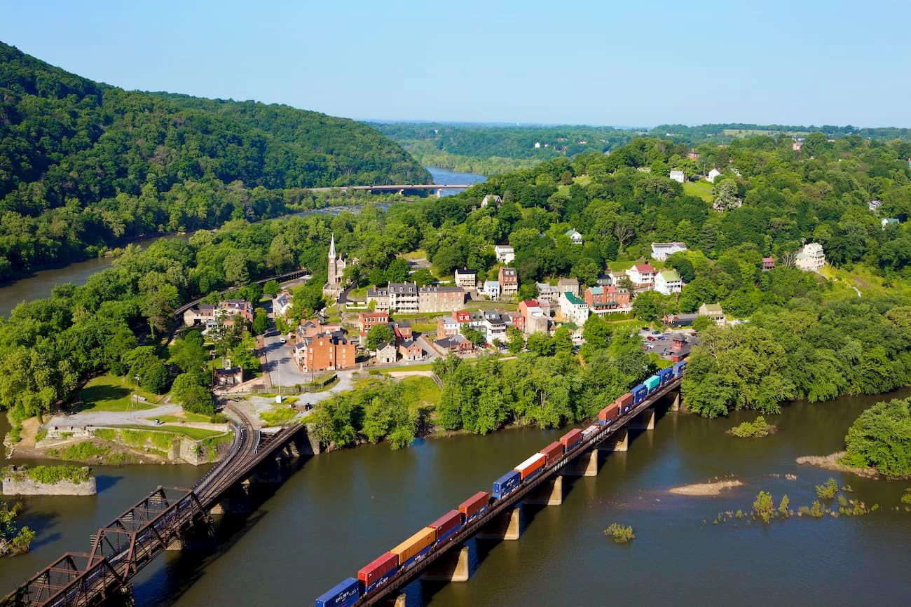
Harpers Ferry National Historical Park
Mount Mitchell State Park
All summits:
1 out of 13
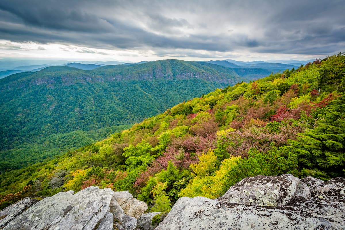
Pisgah National Forest
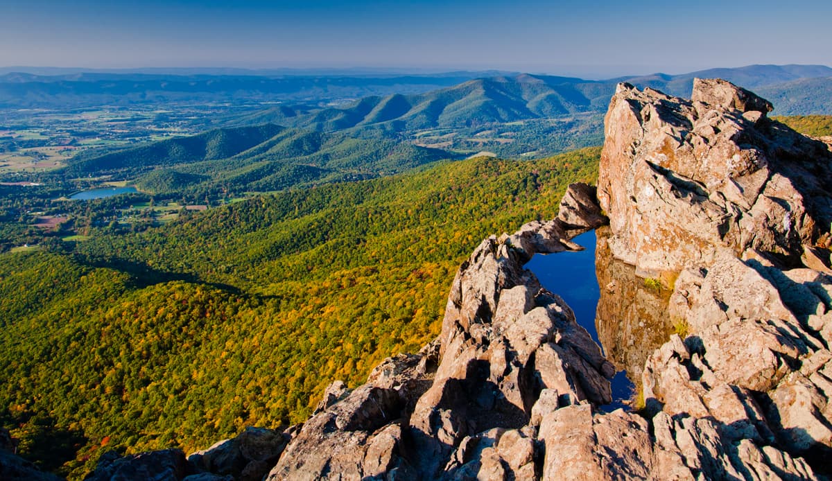
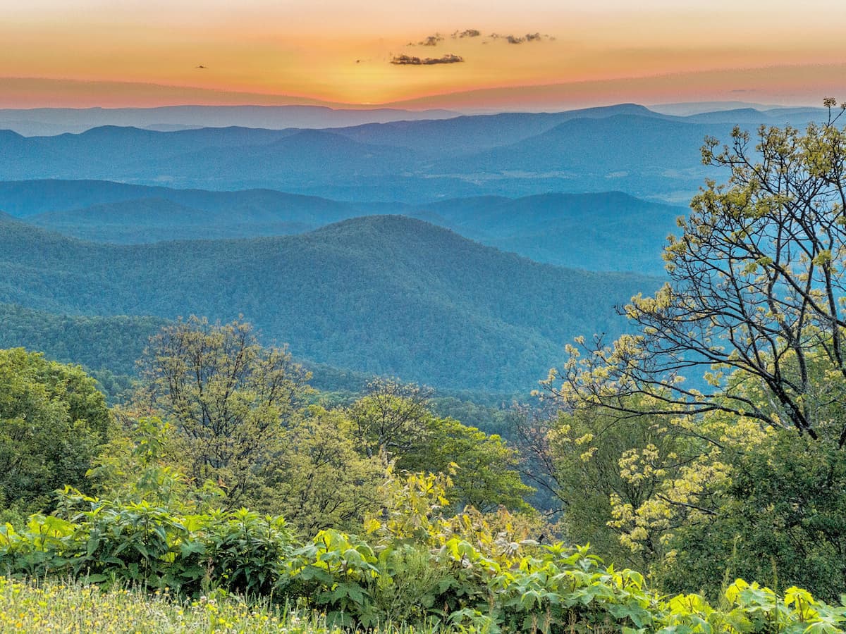
Shenandoah National Park
Shining Rock Wilderness
All summits:
4 out of 23
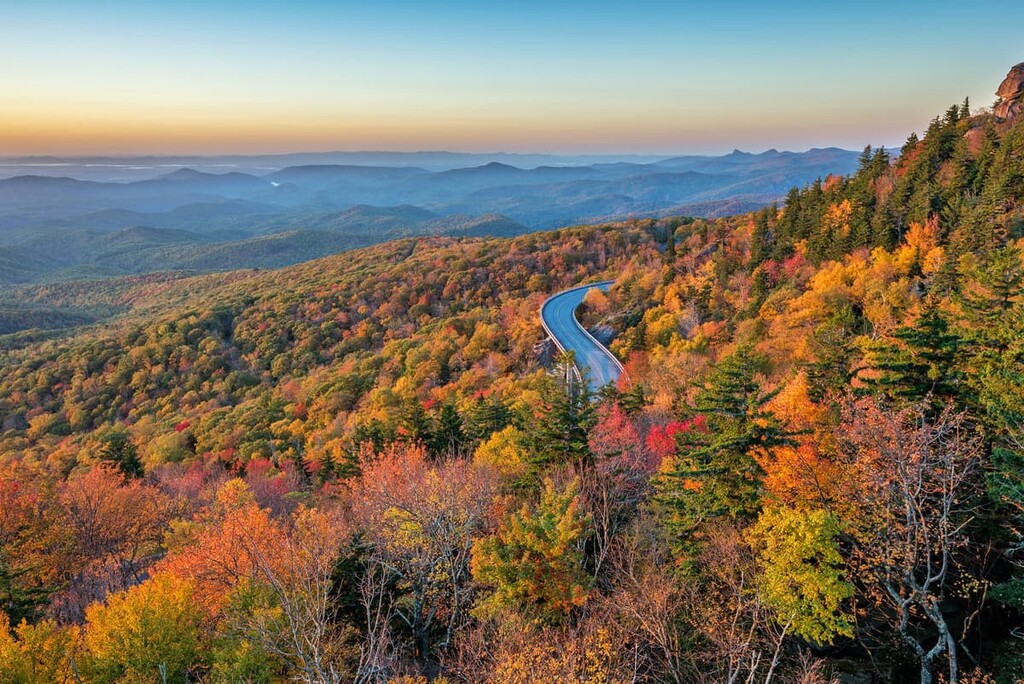
Blue Ridge Parkway
South Mountain State Park
All summits:
5 out of 5
Appalachian National Scenic Trail
All summits:
2 out of 10
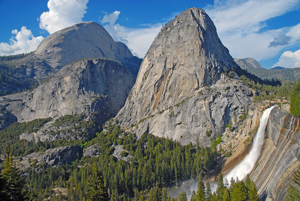
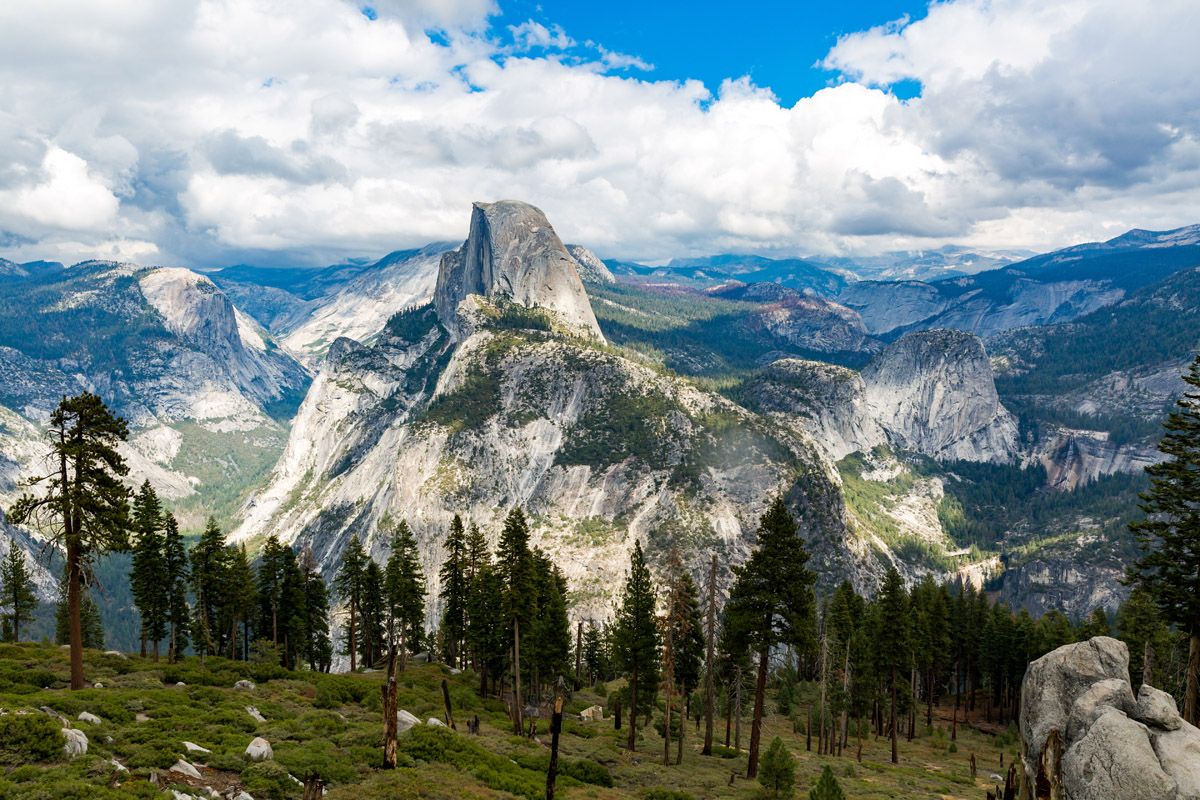
Yosemite National Park
Jefferson National Forest
PeakVisor for iOS and Android
Be a superhero of outdoor navigation with state-of-the-art 3D maps and mountain identification in the palm of your hand!
Scan the QR code to download PeakVisor mobile app