Get PeakVisor App
Sign In
Search by GPS coordinates
- Latitude
- ° ' ''
- Longitude
- ° ' ''
- Units of Length

Yes
Cancel
❤ Wishlist ×
Choose
Delete
Newcastle Ridge is on the eastside of Vancouver Island in the Regional District of Mount Waddington of British Columbia, Canada. There are several peaks along Newcastle Ridge, the tallest of which is 1,333 m (4,373 ft) tall and is unofficially named Newcastle Peak.

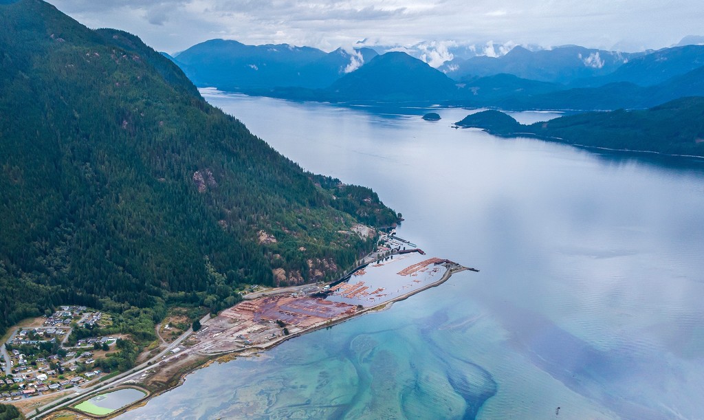
Newcastle Ridge rises from the Johnstone Strait on the eastside of Vancouver Island in British Columbia, Canada. The ridge is in the Regional District of Mount Waddington, adjacent to the community of Sayward and about 75 km (45 mi) north of the city of Campbell River.
Unofficially called Newcastle Peak, the tallest point of the ridge is estimated to be 1,333 m (4,373 ft) above sea level. For a brief time, Newcastle Ridge will dominate your eastward view if traveling the North Island Highway, north of Sayward. It is a beautiful and accessible mountain for those wishing to bag a peak.
There are logging roads that give easy access to the ridge for hiking or biking. If you are looking for other nearby places to hike, some of the nearby parks are Schoen Lake Provincial Park, Woss Lake Provincial Park, Strathcona Provincial Park, and the Lower Tsitika River Provincial Park. There are also many hikes off the highway that lead to views of the coast, waters, and nearby islands.
Newcastle Ridge is part of the Vancouver Island Ranges which are a subrange of the Insular Mountains. The Insular Mountains are the westernmost range of mountains in the Canadian Cordillera and they form parts of the mainland mountains in southwestern British Columbia, southern Alaska, Vancouver Island, and the archipelago of Haida Gwaii.

Originally part of an ancient terrane called Wrangellia, the Vancouver Island Ranges feature many different geologic structures. The different formations relate to the different periods in the formation of the terrane.
Wrangellia began forming over 300 million years ago when lava erupted from a rift in the floor of the Pacific Ocean. After this lava solidified, sediments began to accumulate on top of this volcanic rock over the course of millions of years giving an initial layer of volcanic rocks covered by layers of sedimentary rocks.
Sediment continued accumulating for tens of millions of years until about 230 million years ago when a massive series of eruptions gave the terrane the bulk of its volume. Eruptions continued for about 5 million years and created a roughly 6 km (3.6 mi) thick layer of volcanic rock. Furthermore, much of the previous layers underwent metamorphosis due to the intense heat of the lava overriding them.
During the Late Jurassic and Early Cretaceous, about 145 million years ago, Wrangellia was riding upon a tectonic plate that was subducting beneath the western edge of North America. As the plate slid beneath the continent, the Wrangellia terrane was skimmed of and added to the continental margin of North America
The subduction of the tectonic plate and the accretion of Wrangellia caused a major tectonic uplift in the interior of the continent, which helped create the Rocky Mountains. This collision also caused further uplift of the Columbia and Coast Mountains.
The accretion of an exotic terrane is a slow and violent process. During the accretion, the terrane was compressed, folded, and broken apart to ultimately form the Vancouver Island Ranges. The final uplift of the mountains, including Newcastle Ridge, was caused by the later collision and accretion of the Pacific Rim and Crescent terranes, which occurred 60 and 40 million years ago, respectively.
By the time of the Pleistocene, the major topographical features of Newcastle Ridge had formed. During the Pleistocene, glacial ice and ice sheets covered Vancouver Island, and the relatively lower peaks were covered, and their peaks and ridges were rounded by the ice.
Throughout this time there were several occurrences of ice sheet expansion from the mainland which helped to cover Vancouver Island in over 1 kilometer (0.6 mi) of ice. During their retreat, the glaciers also deposited massive amounts of debris and sediment across the landscape, leaving the valleys adjacent to Newcastle Ridge with a layer of glacial sediment.
Forests grow along the slopes and cover the summits of Newcastle Ridge. Mountain hemlock and amabilis fir are the dominant tree species that are found on the upper slopes and peaks as well as stands of yellow cedar.
The lower elevations and valleys are covered in forests typical of the Western Hemlock ecosystems, which are part of the northern temperate rainforests. Western hemlock and amabilis fir are the dominant tree species that are found on the lower slopes of the park. Other trees which may be encountered are western red cedar, big leaf maple, and alder.

Logging has occurred across the ridge and there is likely little old-growth remaining. However, some pockets of the forest may be too difficult to access and while traversing the ridge, you may encounter ancient Douglas fir, red cedar, and Sitka spruce giants.
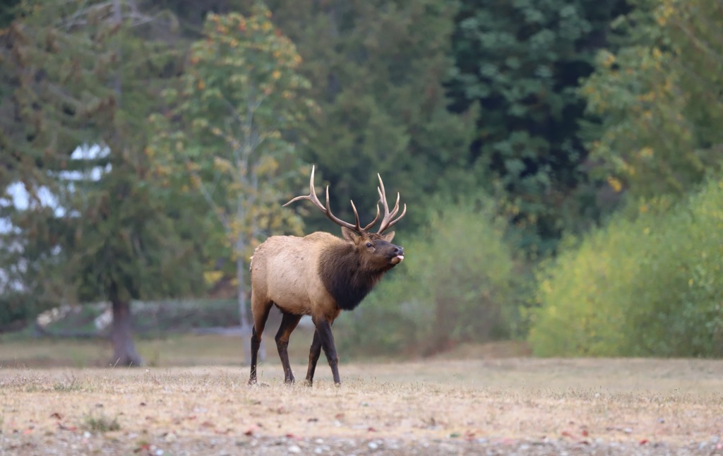
While the open logging generally displaces some of the wildlife, the area is still home to the species typical of Vancouver Island. While hiking you may see the signs of black bears, Vancouver Island grey wolves, Roosevelt elk, and black-tailed deer.
The adjacent river is likely home to Pacific salmon, steelhead trout, cutthroat trout, and Dolly Varden char. It may also be one of the eulachon spawning grounds which gave rise to the Indigenous Grease Trails and the trade in eulachon oil.
Vancouver Island is divided into three regions that have been traditionally occupied by the Coast Salish, Nuu-chah-nulth (Nuučaan̓ułʔatḥ), and the Kwakiutl (Kwakwa̱ka̱ʼwakw). Newcastle Ridge is located along the border between the Kwakiutl and the Coast Salish.
A nearby site is where the village of H’kusam once stood and it is common local belief that the village changed hands between the Kwakiutl and the Coast Salish many times over its existence. The Coast Salish people traditionally reside on the southern end of the island and the Kwakiutl traditionally reside on the northeast end of Vancouver Island.
While it is unknown if there are any significant cultural or archaeological sites upon Newcastle Ridge, the ridge was more likely than not the location of many hunts and potentially other cultural events. With a village so close, locals likely climbed the ridge for sport, hunting, or gathering other foods and resources.
The coastal areas along the eastern slopes adjacent to Johnstone Strait were also likely used for traditional uses and the adjacent Salmon River was certainly used by the local indigenous populations to help supply themselves with food. While the details may be missing, Newcastle Ridge and the surrounding valleys were likely traversed and used by many of the indigenous people.
Newcastle Ridge is simply one of the many beautiful and accessible peaks upon Vancouver Island. Hiking and mountain biking are the main activities to occur on the ridge and there are logging roads which provide relatively easy access to many parts of the ridge.
Indeed, there are logging roads that provide access to the central summit of the ridge. There is no official trail to follow; however, there are certainly routes along the ridge and viewpoints that look upon Johnstone Strait and its islands. While visitors need to give way to logging traffic, the roads have given easy access to this beautiful wilderness area that overlooks the Salmon River and the ocean.
The northeastern coast of Vancouver Island is covered with beautiful forests, rivers, lakes, and mountains. Newcastle Ridge is one of many places along this stretch of coast that are easily accessible and worthwhile to visit.
The following are some of the major towns and cities that offer services for visitors to these northern island wilderness areas.
Campbell River is about 75 km (45 mi) south of Newcastle Ridge, along Highway 19, the North Island Highway. It is the largest community on the northern end of Vancouver Island and it is the gateway to northern Vancouver Island wilderness and the nearby Discovery Islands.
Built along the Georgia Strait and the Campbell River, there are stunning views of the ocean and incredible wilderness areas nearby to visit. The city is surrounded by and filled with beautiful forests that have massive Douglas firs, red cedars, western hemlocks, alders, and big leaf maples.

On clear days it is easy to spend time gazing upon the Georgia Strait, the Pacific Ranges on the mainland, Quadra Island, and Cortes Island. Furthermore, there are many great places to eat that have these great views or it’s easy enough to grab some fish and chips take-out and walk across to a park or a beach for a picnic.
Furthermore, it seems like opportunities to interact with nature are so easy to find while in the city. In addition to the forest trails in the city, Elk Falls Provincial Park is a very short drive. Surrounded by massive Douglas firs, maples, red cedars, and western hemlocks, the Elk River tumbles spectacularly over a cliff and into the river below and there are many great viewpoints around the falls.
While there are many great hikes and walks to enjoy both in and near the city, Campbell River is also the gateway to the incredible wilderness of northern Vancouver Island. Strathcona Provincial Park, Mount Arrowsmith Massif Regional Park, Cathedral Grove, and Schoen Lake Provincial Park are all relatively close to the city
Furthermore, it’s easy to board the ferry and take a tour of some of the Discovery Islands. Quadra Island is easily seen from the city and is a short ferry ride away. From Quadra Island, visitors can take another ferry to Cortes Island where you can hike through the picturesque Ha’thayim Marine Provincial Park.
Campbell River is a wonderful community to visit as you explore the beautiful areas of northern Vancouver Island.
Port McNeill is about 110 km (66 mi) north of Newcastle Ridge and is one of the major communities on northern Vancouver Island. Thanks to its regular ferry service to Alert Bay on Cormorant Island and Sointula on Malcolm Island, Port McNeill is also the gateway to the scenic islands of Broughton Archipelago.
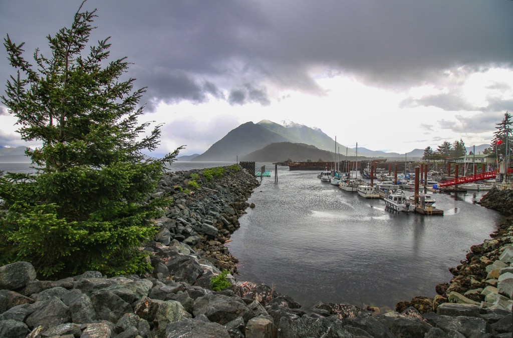
This small town offers dining and other guest services and accommodations to visitors touring Vancouver Island. Port McNeill is quaint and beautiful, and many visitors launch their adventures into the Broughton Archipelago from the town.

There are tours and opportunities to see the beautiful islands and wilderness areas of the archipelago and coast. Within the archipelago, there are several marine provincial parks where kayaking, SCUBA diving, and fishing are certainly worth the effort to arrive.
Other hiking and wilderness areas near Port McNeill are Nimpkish Lake Provincial Park, Lower Tsitika River Provincial Park, and the beautiful Cape Scott Provincial Park. The wilderness, beaches, and seaways of north Vancouver Island are all beautiful, and they are full of opportunities for adventure for anyone who takes the time to travel to the region.
Explore Newcastle Ridge with the PeakVisor 3D Map and identify its summits.


