
Scan the QR code and open PeakVisor on your phone
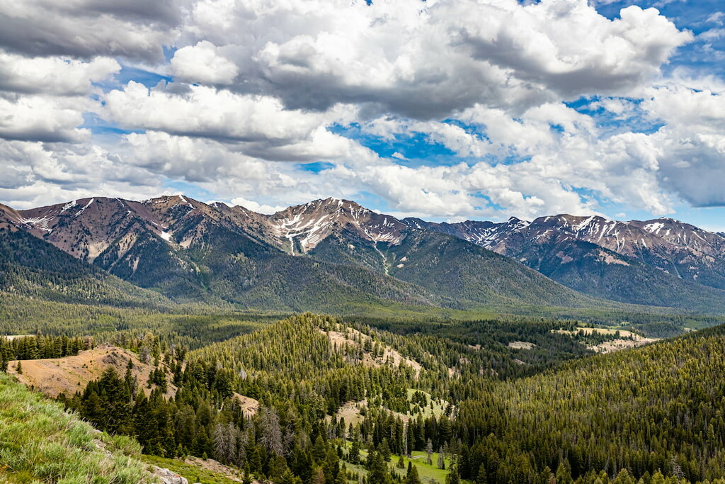
Located along the intersection of the US states of Utah, Idaho, and Nevada, the Goose Creek Mountains are a small and remote collection of peaks. The range is home to 59 named mountains, the highest and most prominent of which is Monument Peak (8,031ft/2,448m).
The Goose Creek Mountains are a small remote mountain range located along the shared borders of Utah, Idaho, and Nevada. They are included as parts of Box Elder, Cassia, and Elko counties.
Although they have a similar name (and they are located next to each other), the Goose Creek Mountains are not to be confused with the Grouse Creek Mountains to the south, nor are they part of the small Goose Creek Wilderness, which is near Zion National Park. Furthermore, the range is sometimes called the South Hills or even the Cassia Mountains in parts of Idaho, which can cause some confusion.
Nevertheless, despite its remoteness, the Goose Creek Mountains are surrounded by other mountain ranges. This includes the Granite Range, Elk Mountains, and the Delano Mountains to the west and the Albion Mountains to the east.
Additionally, the range is located to the north of the Pilot Range, Grouse Creek Mountains, Promotory Mountains, and Hogup Mountains, as well as to the south of the Snake River Plain.
The Goose Creek Mountains are also located on various parcels of land. They are partially within the Sawtooth National Forest (especially in the northern part of the range), though both BLM land and privately-owned land are the norm in the southern parts of the range.
Geologically, the Goose Creek Mountains are part of the Great Basin Ranges, which is a massive collection of peaks that spans much of Nevada, Utah, Idaho, Oregon, California, and a small part of Arizona.
The ranges are the result of a series of complex tectonic events, which culminated with widespread tectonic expansion during the Miocene. These days, the Great Basin Ranges are, as the name suggests, home to an alternating series of basins and ranges.
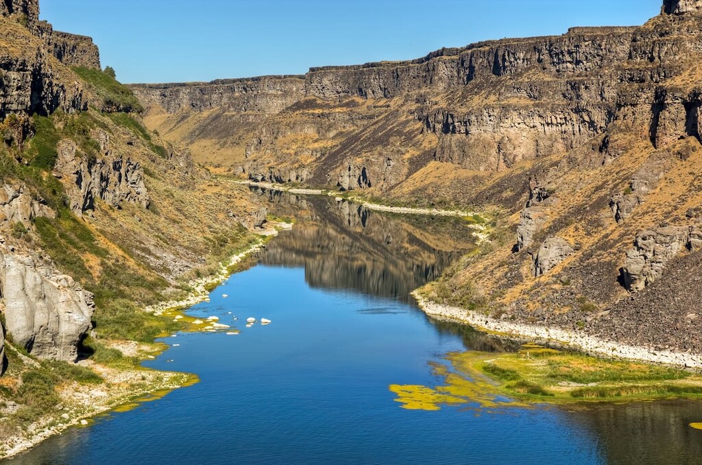
Furthermore, the range actually derives its name from the Goose Creek, which is a 123-mile (198 km) long river that feeds into the Snake River.
The range forms the bulk of the watershed for Goose Creek, which actually starts in the portion of the range that’s located within the Sawtooth National Forest. From the forest, the river flows southward into Elko County, Nevada before heading into Box Elder County and returning to Idaho where it flows into the Snake River near Burley.
Nevertheless, the range itself is mostly sedimentary in origin with some large outcroppings of rhyolite. Both Goose Creek and other major creeks in the region, such as Rock Creek, also form massive canyons in the range.
Major high points in the Goose Creek Mountains include Monument Peak, Judd Peak, Trout Creek Mountain, Pike Mountain, Meadow Creek Butte, and White Rock Mountain.
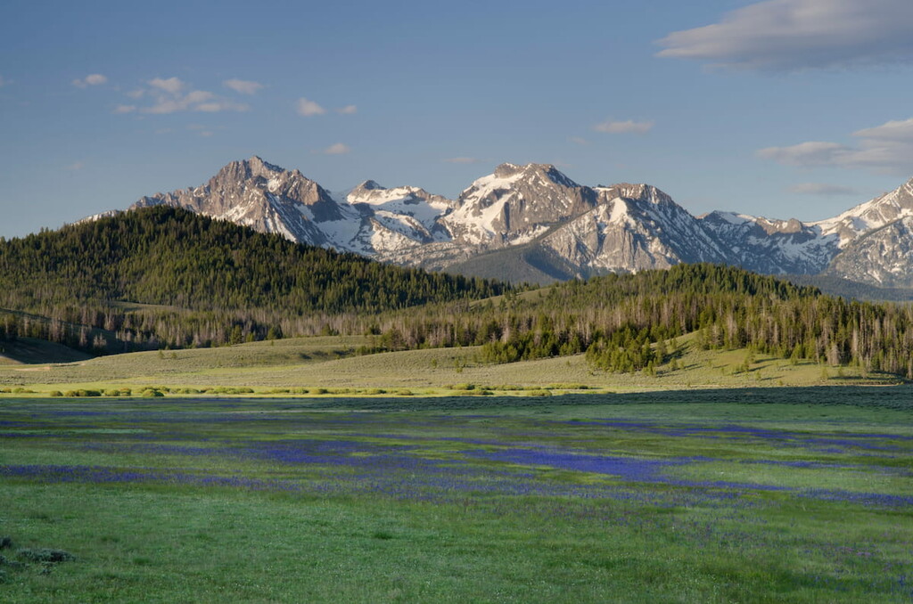
Within the Goose Creek Mountains, the landscape is part of the Northern Basin and Range Ecoregion, which stretches across much of Idaho to the south of the Snake River Plain as well as much of eastern Oregon and northern Nevada.
The ecoregion is home to a mix of ecosystems, which include sagebrush steppe and the lowest elevations. There are also a number of different woodlands, including juniper-dominated woodlands at the mid-elevations. Furthermore, the highest parts of the region below the treeline are dominated by mixed coniferous forests, which include everything from Douglas fir to aspen.
The region in and around the Goose Creek Mountains has been home to humans since time immemorial. Although many peoples have lived in the region over the last few millennia, it is perhaps best known as being part of the traditional territory and ancestral homelands of the Shoshone-Bannock Tribes.
It’s believed that the first people of European descent to have visited the region were fur trappers and traders that arrived in the early part of the nineteenth century, perhaps led by Wilson Price Hunt who was searching for a route to Oregon. The region was also later located along the Oregon Trail, so it saw quite a lot of traffic among caravans during the nineteenth century.
Furthermore, the California Trail (which split off from the Oregon Trail near what is now Fort Hall, Idaho), actually followed Goose Creek for a significant portion of its extent until crossing into northern Nevada.
The range’s proximity to the Snake River Plain meant that quite a few immigrants from the eastern part of the United States decided to settle in the region as homesteaders. That being said, the general aridity of the region (save for the Snake River Plain) meant that the region’s waterways, including Goose Creek, ended up being dammed in order to provide enough water for irrigating newly-established agricultural fields.
Interestingly, the range was among the earliest areas in the region to be federally protected by the federal government. It was first protected as part of the Cassia Forest Reserve in 1905, though this was later combined with the Raft River National Forest to form the Minidoka National Forest in 1908. Some four decades later, in 1953, Minidoka was then added to the Sawtooth National Forest.
Nowadays, the Cassia Division of the Sawtooth National Forest, which includes the Goose Creek Mountains, is among the most popular outdoor recreation destinations in southern Idaho. So, it’s a great place to visit if you’re in the region.
The Goose Creek Mountains are an interesting and complicated range to visit due to the fact that the range is situated on multiple parcels of land. Here are some of the best places to check out if you’re keen to check out the range:
Out of all of the peaks in the Goose Creek Mountains, the southernmost part of the range is the most difficult to access. That’s because the southern part of the range is situated on both BLM and privately-owned land, which can make securing permission to access the peaks quite tricky.
In particular, the southern part of the range near the community of Grouse Creek is mostly on privately-owned land, which is managed by a mining company.
Many visitors find that they can get permission from the mining company (American Stone of Murray Utah) to visit the range on Sundays and holidays when the mine is not in operation. However, securing permission from the land managers is a must before visiting the range as not doing so would constitute trespassing.
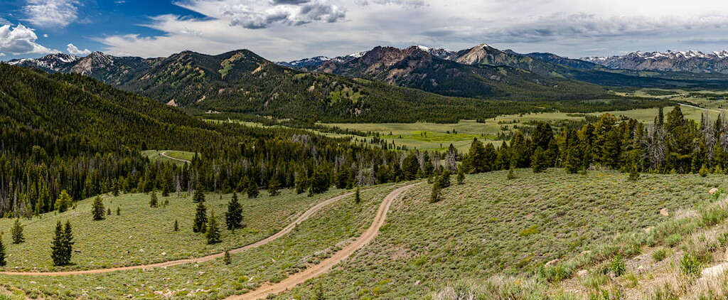
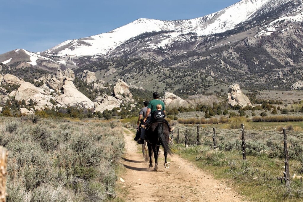
By far the most popular part of the range to visit, the northern section of the Goose Creek Mountains within the Cassia Division of the Sawtooth National Forest is home to a nice collection of peaks and hiking opportunities.
This part of the range is actually quite popular among locals as there are a number of trails, campgrounds, and picnic areas to check out. There’s actually also a small ski area at Magic Mountain Ski Resort.
Hiking opportunities are plentiful in this part of the range and most are readily accessible, though accessing these peaks does require a decent vehicle that can handle the immense network of forest service roads that meander through the range.
Some of the many potential hiking opportunities in this part of the range include Monument Peak, Trapper Peak, Trout Creek Mountain, Flatiron Mountain, Pike Mountain, and Wooden Shoe Butte, the latter of which is known to be quite difficult.
The online version of Idaho: A Climbing Guide offers excellent information on hiking most of the range’s many peaks within the state.
Looking for a place to stay during your visit to the Goose Creek Mountains? Here are some of the best places to check out:
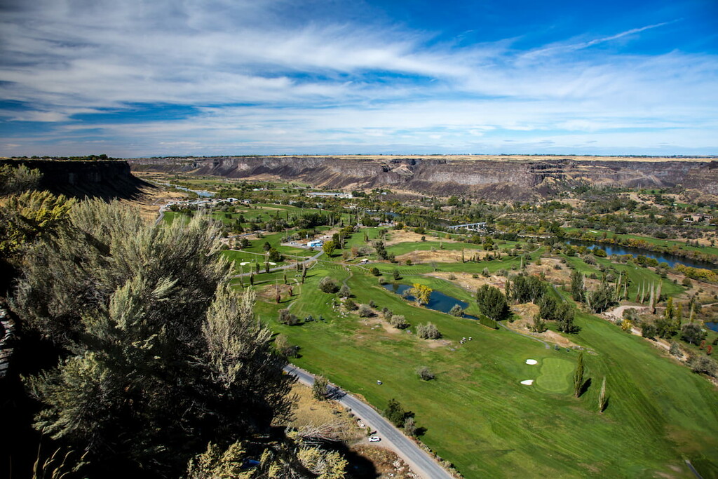
Home to about 44,000 people, the city of Twin Falls is the largest and most populous community in Idaho’s Magic Valley Region. It is situated to the north of the Goose Creek Mountains and is a major commercial and cultural hub for the area.
Twin Falls is perhaps best known for being the location of one of daredevil Evil Knievel’s most infamous stunts, though it is also a worthy place to visit in its own right if you’re in the region. Twin Falls is relatively easy to get to by road and it has a small airport with service to Salt Lake City.
The small community of Grouse Creek is located in the southern part of the Goose Creek Mountains. Home to about 70 residents, the community is situated near Utah’s border with Nevada on dirt roads that lead north from State Route 30.
Although the community is quite small, it does have a post office and a gas station. Furthermore, it is one of the few communities in the southern part of the range, so it’s a fairly popular stopping point if you’re in the area.


