
Scan the QR code and open PeakVisor on your phone
The Diablo Range include 471 named peaks. The highest is San Benito Mountain at 1,598 m. Other notable peaks include Santa Rita Peak, Condon Peak and San Carlos Peak.
The Diablo Range is a long chain of mountains in the west-central part of the US state of California. It is home to 341 named peaks, the highest and most prominent of which is San Benito Mountain (5,243ft/1,598m).
The Diablo Range stretches from the eastern part of the San Francisco Bay Area at Carquinez Strait southbound toward Polonio Pass near the city of Paso Robles. It forms a border between the Salinas Valley to the west and the massive California Central Valley to the west. Moreover, the range is paralleled by I-5 to the east and US Route 101 to the west for most of its extent.
The range travels through Kern, Kings, Fresno, Monterey, Merced, San Benito, Santa Clara, Stanislaus, San Joaquin, Contra Costa, and Alameda counties. The San Joaquin River borders the range to the northeast while the Salinas River forms its southwest terminus.
Both the Santa Cruz Mountains of the San Francisco Peninsula and the Santa Lucia Range of the Los Padres National Forest run parallel to the Diablo Range. The range contains quite a few protected regions, including:
Additionally, the Diablo Range is bordered to the west by Pinnacles National Park. It is also just west of the San Luis National Wildlife Refuge. Some of the most recognizable peaks in the range include Mount Diablo, San Benito Mountain, and Mount Stakes.
The Diablo Range is part of the California Range system, which extends for much of the length of western California. Geologically, the California Ranges were created as a result of movement and uplift of crust along the region’s many transverse faults.
In particular, parts of the region are home to Mesozoic and Cenozoic era ophiolites and sedimentary rocks. The range is also home to a significant amount of the Franciscan Complex, which is mostly slightly metamorphosed shales, conglomerates, and greywacke shales.
Due to its inland location, the Diablo Range is actually in the rainshadow of other ranges to the east, such as the Santa Cruz Mountains and the Santa Lucia Range. Thus, the Diablo Range actually gets fairly little precipitation, even at its highest elevations.
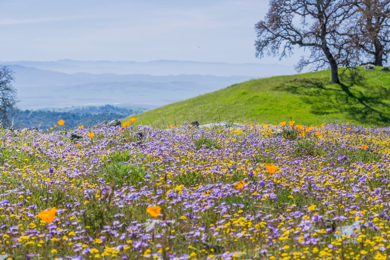
Most winters in the range are quite mild with a small amount of rainfall. However, summers tend to be very hot and exceptionally dry. A significant portion of the Diablo Range is covered by California interior chaparral and woodlands with some stands of closed-cone pine above 4,000 feet (1,200m).
The Diablo Range contains a wide range of different ecological areas and species. It is considered a critical reservoir for California’s biodiversity as it is a core habitat area for the state’s wildlife.
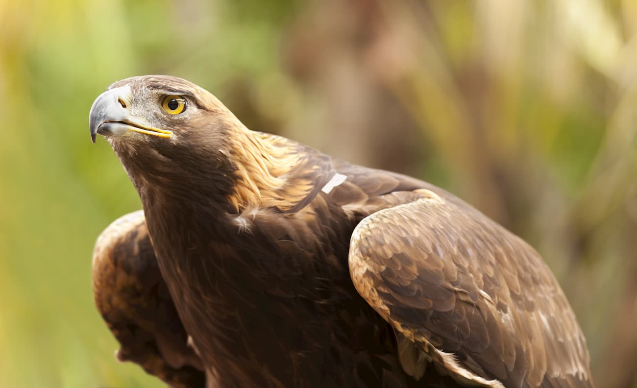
In fact, the northernmost section of the Diablo Range is home to the world’s highest density of golden eagles. It is also believed to be an important source of genetic biodiversity for California’s rapidly declining mountain lion population.
Within the range, the Tule elk (Cervus canadensis nannodes), which were nearly hunted to extinction during the 1870s, have recovered thanks to the preservation of their habitat in the region. These elk are a unique subspecies that is only found in California. Outside the Diablo Range, they are mostly found in the Carrizo Plain National Monument to the south and Point Reyes National Seashore to the northwest.
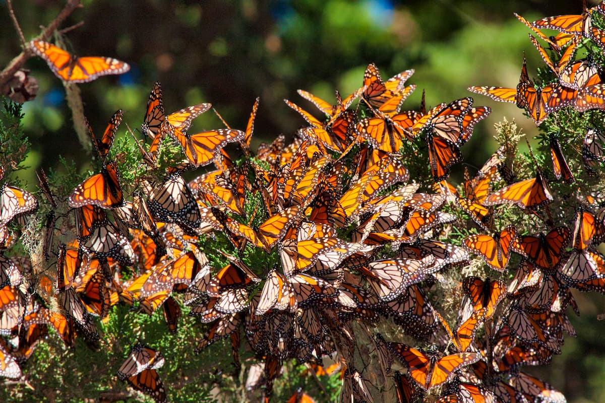
Additionally, the Bay checkerspot butterfly (Euphydras editha bayensis), a federally threatened species found only in the San Francisco Bay area, has some of its last remaining habitat in the Diablo Range. The California condor is also seen frequently throughout the region as it starts to spread and recover thanks to dedicated conservation efforts.
In addition to this abundance of wildlife, the Diablo Range contains a unique mix of different ecosystems. This includes serpentine soils, where very rare plant species can grow and thrive.
The region in and around the Diablo Range has been home to humans for thousands of years. A number of different tribes lived in the area before the arrival of the Europeans, including the Northern Valley Yokuts, Southern Valley Yokuts, Salinans, Patwin, and Ohlone.
Although Europeans traveled along the coastal regions of California as early as 1542, they did not attempt to reach the more inland portions of the state until two centuries later. In 1768, Gaspar de Portolá, a Spanish soldier, led an overland expedition to “Alta California,” as it was then known, reaching as far north as the mouth of the Salinas River near Monterey Bay.
By the 1770s, the Spanish began creating missions throughout California in an attempt to convert the native people of the region to Christianity. In the years that followed, violence, genocide, forced labor, and introduced diseases decimated the population of the indigenous people of the Diablo Range and the surrounding area.
After the Mexican War of Independence and the secularization of the missions, the mission lands were converted into ranchos, which used mostly native peoples for labor. In the aftermath of the Mexican-American War, Mexico ceded California to the United States and by the 1850s, the California Gold Rush was in full swing.
Although the Diablo Range wasn’t home to a significant amount of gold, due to the region’s high levels of mercury, it was home to a number of mining operations. The most notable of these operations was the New Idria Mercury Mine, which was founded in the 1850s. Over its 120 years of operation, the mine was quite successful, particularly during the California Gold Rush as mercury was essential for extracting gold from ores.
During its lifetime, the mine is believed to have produced over 19,000 tons (17,236 metric tons) of mercury. However, tailings from the mine are causing widespread mercury contamination, particularly around the San Carlos and Silver Creeks.
These two bodies of water flow into Panoche Creek and the San Joaquin River, resulting in mercury contamination in the San Francisco Bay. In 2011, the area around the historic New Idria Mercury Mine was declared a federal superfund site, and clean up efforts occurred in both 2012 and 2015. The EPA has also commissioned a number of research projects to study and monitor contamination at the site.
These days, much of the land in the Diablo Range is still part of privately owned ranches. Due to the legal status of the land, there is fairly minimal recreational access to the range, outside of the designated parks and recreation areas. There are also some private conservation easements held by the California Rangeland Trust.
However, the parks in the range offer some great hiking opportunities. Here are some of the most popular options:
Henry W. Coe State Park is located to the south of San Jose and is home to 28 named mountains, the highest of which is Mount Sizer and the most prominent of which is Robinson Mountain. The park is the second-largest state-run area in California, after Anza-Borrego Desert State Park near San Diego.
Before it became a park in 1958, the region was used as ranching land by the Coe family from 1905 to 1943. It is well-known for its density of flora and fauna, much of which is chaparral and oak woodlands.
Within the park, there are few maintained facilities, but there is a small campground and some good backcountry hiking opportunities on more than 200 miles (320km of trails). In fact, the park is large enough to support a two-week backpacking trip for more adventurous hikers and keen backcountry anglers.
Good hiking options include Cross Canyon Trail, Lost Spring Trail, Coyote Creek Loop, Middle Ridge Loop, and the China Hole Trail.
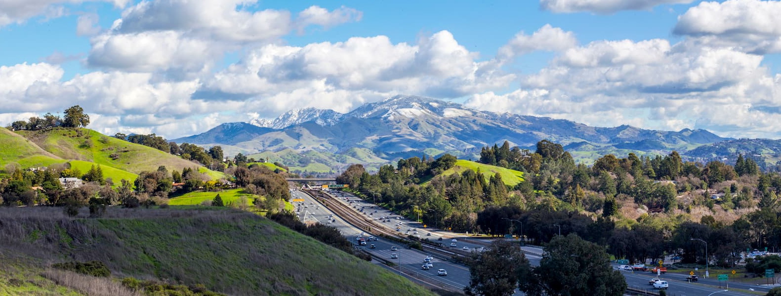
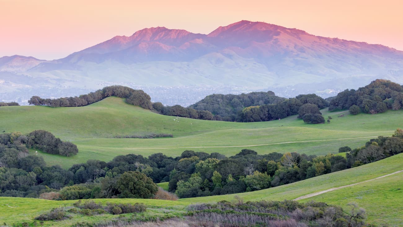
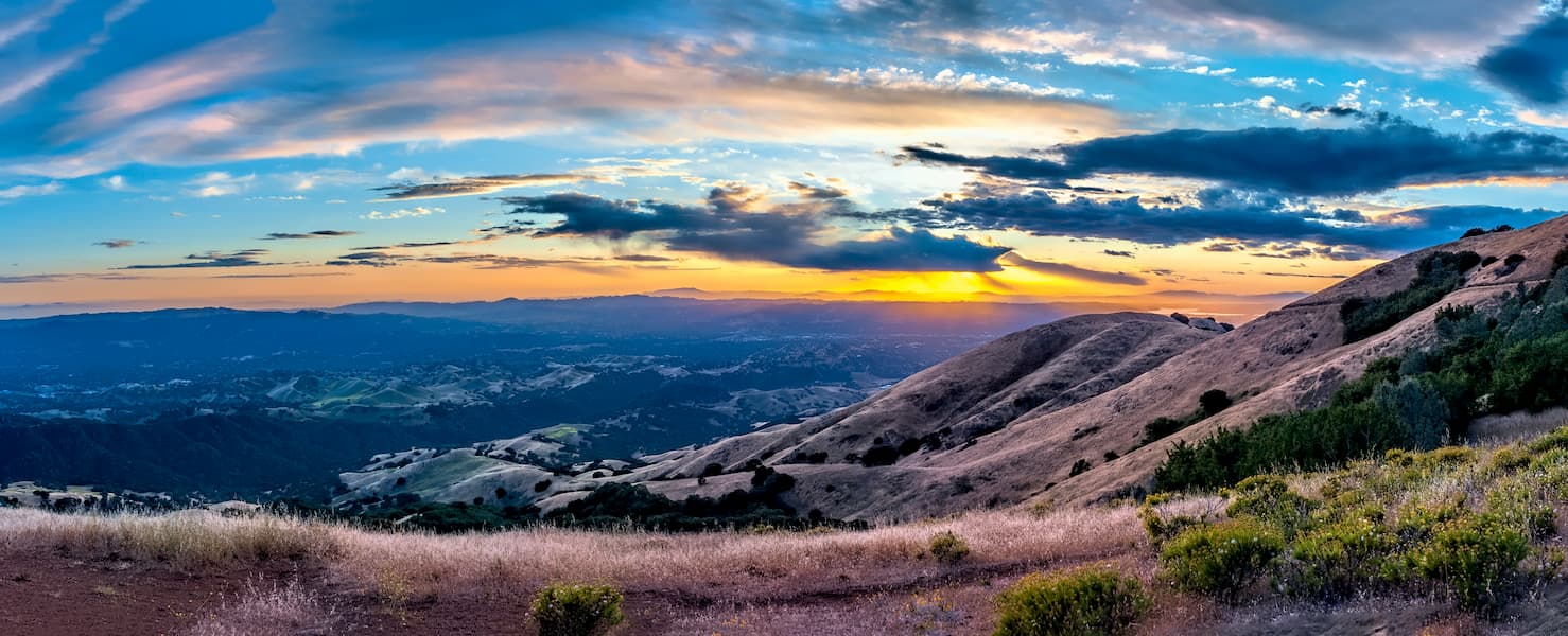
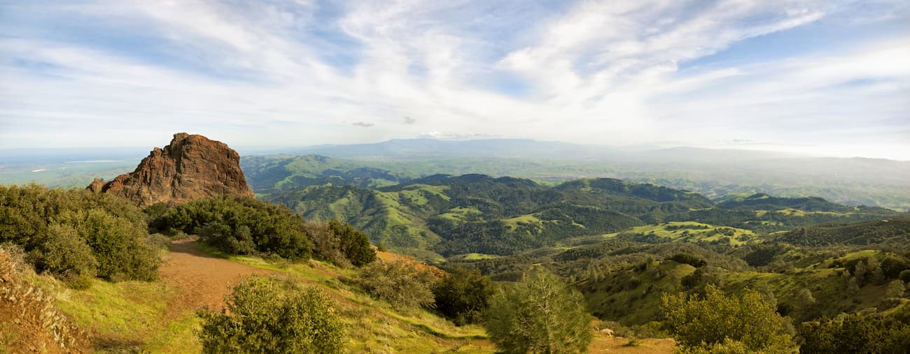
Mount Diablo State Park is located just east of Oakland and Berkeley and is home to 13 named peaks, the highest and most prominent of which is Mount Diablo. The peak itself is very isolated, standing nearly 4,000 feet (1200m) above the Bay Area.
Mount Diablo is sacred to many native cultures, including that of the Miwok and Ohlone. The current state park includes more than 90,000 acres (36,000 ha) of land. From the summit of Mount Diablo, the Sierra Nevada Range is clearly visible on a sunny day while Lassen Peak in Lassen Volcanic National Park and Sentinel Dome in Yosemite National Park are visible on the clearest of days.
The land that would later become the state park was first protected in 1921 but has expanded significantly since then. There are plenty of great hiking trails for visitors to enjoy, including Donner Creek Loop Trail, Mount Diablo Grand Loop Trail, Eagle Peak Loop Trail, and the Mount Diablo Summit Trail.
The Diablo Range covers a wide swath of land, extending from the San Francisco Bay Area in the north to the Paso Robles region in the south. Here are some of the best places to stay before or after your visit to the range:
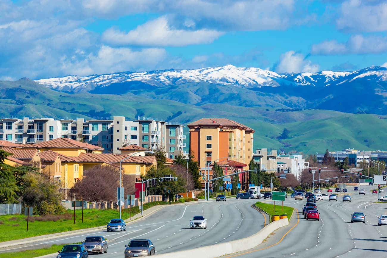
San Jose is the cultural center of Silicon Valley and it is located on the southern end of the San Francisco Bay. It is the third-largest city in California and it is very close to the northernmost section of the Diablo Range, including Mount Diablo State Park.
The city has a major international airport as well as Amtrak service around California and the west coast. Additionally, there are quite a few freeways and state highways that run through the city, offering visitors good road connections to the Diablo Range.
Bakersfield is located to the east of the southern terminus of the Diablo Range and it is a major cultural and financial hub of the San Joaquin Valley and the Central Valley. It has a population of over 350,000 people and is serviced by an abundance of highways.
Amtrak’s San Joaquin Route stops in Bakersfield, providing connections to Oakland and Sacramento. The city also has a regional airport with regular service around California and the American West.
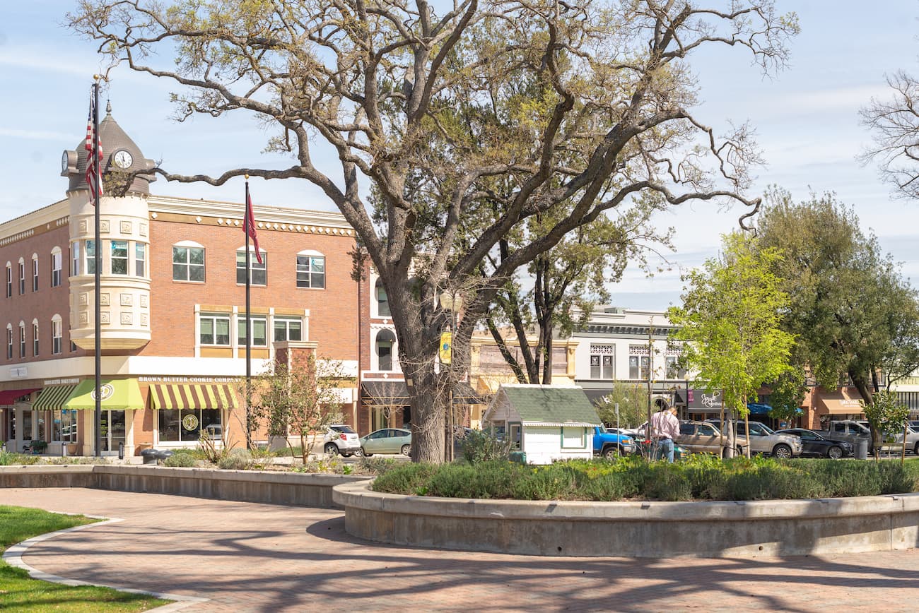
Paso Robles is located just west of the southern terminus of the Diablo Range and it is home to over 30,000 people. The city is known for its large concentration of wineries as well as its olive oil industry.
Paso Robles is located along US Highway 101 and State Highway 46, both of which offer good connections to other major cities. The Amtrak Coast Starlight service stops at Paso Robles, connecting the city to Los Angeles, Oakland, Sacramento, Portland, Seattle, and dozens of cities along the way.


The highest peak in the Diablo Range is San Benito Mountain, at 1,598 m.
The Diablo Range have 471 named peaks.


