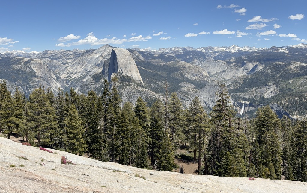
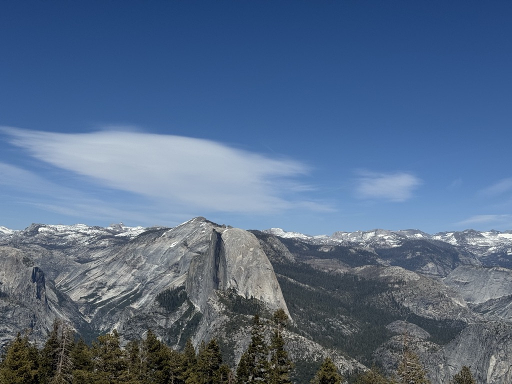
Sentinel Dome is a granite dome in Yosemite National Park, United States. It lies on the south wall of Yosemite Valley, 0.8 miles (1.3 km) southwest of Glacier Point and 1.4 miles (2.3 km) northeast of Profile Cliff.
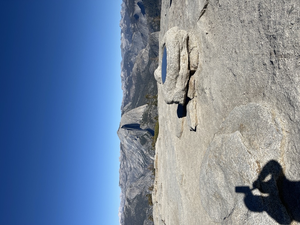
The view from the top offers a 360 degree view of Yosemite Valley and surroundings. One can see Half Dome, El Capitan, Yosemite Falls, North Dome, Basket Dome, and much more. Sentinel Dome provides a 360 degree view of the night sky and it and nearby Glacier Point are popular places for stargazing.
There's a hiking trail (T2) called Sentinel Dome Trail leading to the summit.
By elevation Sentinel Dome is
# 13 out of 52 in the Yosemite Valley # 43 out of 207 in Mariposa County
By prominence Sentinel Dome is
# 11 out of 52 in the Yosemite Valley # 63 out of 207 in Mariposa County
We use GPS information embedded into the photo when it is available.
3D mountains overlay
Adjust mountain panorama to perfectly match your photos because recorded by camera photo position might be imprecise.
Move tool
Rotate tool
Zoom
More customization
Choose which peak labels should make into the final photo and what photo title should be.
Next
Photo Location
Satellitte
Flat map
Relief map
Latitude
Longitude
Altitude
OR
Latitude
°'''
Longitude
°'''
Apply
Register Peak
Peak Name
Latitude
Longitude
Altitude
Register
Teleport
PeakVisor
This 3D model of Sagarmatha National Park in Nepal was made using the PeakVisor app topographic data. The mobile app features higher precision models worldwide, more topographic details, and works offline. Download PeakVisor maps today.
Download OBJ model
PeakVisor
The download should start shortly. If you find it useful please consider supporting the PeakVisor app.
PeakVisor for iOS and Android
Be a superhero of outdoor navigation with state-of-the-art 3D maps and mountain identification in the palm of your hand!