
Scan the QR code and open PeakVisor on your phone
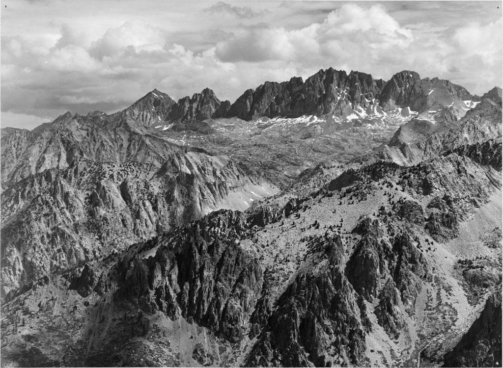
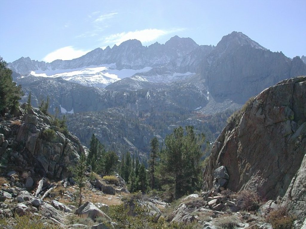
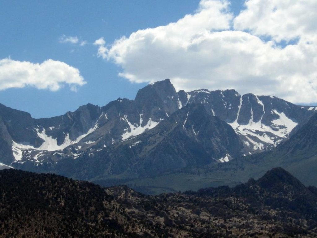
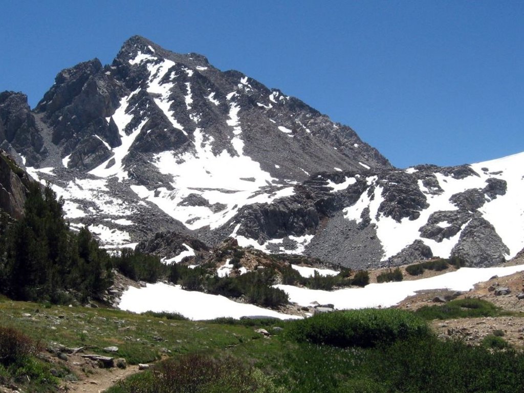
There are 373 named mountains in Fresno County. The highest and the most prominent mountain is North Palisade.
.jpg)
14er
glacier
california-13ers
porcella-burns
western-state-climbers
western-state-climbers-star
sierra-club-sierra-peaks-section
sierra-peaks-section-emblem
vagmarken-sierra-crest
fred-beckey-great-peaks
14er
california-13ers
porcella-burns
western-state-climbers
western-state-climbers-star
sierra-club-sierra-peaks-section
sierra-peaks-section-mountaineers
vagmarken-sierra-crest
california-13ers
porcella-burns
western-state-climbers
western-state-climbers-star
14er
california-13ers
porcella-burns
western-state-climbers
western-state-climbers-star
sierra-club-sierra-peaks-section
sierra-peaks-section-emblem
sierra-sampler
vagmarken-sierra-crest
14er
california-13ers
porcella-burns
western-state-climbers
western-state-climbers-star
sierra-club-sierra-peaks-section
sierra-peaks-section-mountaineers
sierra-sampler
vagmarken-sierra-crest
california-13ers
porcella-burns
western-state-climbers
western-state-climbers-star
sierra-club-sierra-peaks-section
sierra-peaks-section-mountaineers
vagmarken-sierra-crest
13er
california-13ers
western-state-climbers
western-state-climbers-star
sierra-club-sierra-peaks-section
sierra-peaks-section-emblem
vagmarken-sierra-crest
california-13ers
western-state-climbers
western-state-climbers-emblem
sierra-club-sierra-peaks-section
vagmarken-sierra-crest
13er
california-13ers
western-state-climbers
western-state-climbers-star
sierra-club-sierra-peaks-section
sierra-sampler
vagmarken-sierra-crest
13er
california-13ers
western-state-climbers
western-state-climbers-star
sierra-club-sierra-peaks-section
sierra-peaks-section-mountaineers
14er
glacier
california-13ers
porcella-burns
western-state-climbers
western-state-climbers-star
sierra-club-sierra-peaks-section
sierra-peaks-section-emblem
vagmarken-sierra-crest
fred-beckey-great-peaks
13er
california-13ers
western-state-climbers
western-state-climbers-star
sierra-club-sierra-peaks-section
sierra-peaks-section-mountaineers
vagmarken-sierra-crest
13er
california-13ers
western-state-climbers
western-state-climbers-star
sierra-club-sierra-peaks-section
sierra-peaks-section-emblem
vagmarken-sierra-crest
13er
western-state-climbers
western-state-climbers-emblem
sierra-club-sierra-peaks-section
13er
california-13ers
western-state-climbers
western-state-climbers-star
sierra-club-sierra-peaks-section
sierra-peaks-section-emblem
vagmarken-sierra-crest
13er
western-state-climbers
western-state-climbers-star
sierra-club-sierra-peaks-section
sierra-peaks-section-mountaineers
sierra-sampler
vagmarken-sierra-crest
13er
california-13ers
western-state-climbers
western-state-climbers-star
sierra-club-sierra-peaks-section
sierra-peaks-section-emblem
sierra-sampler


