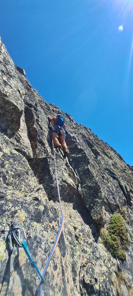
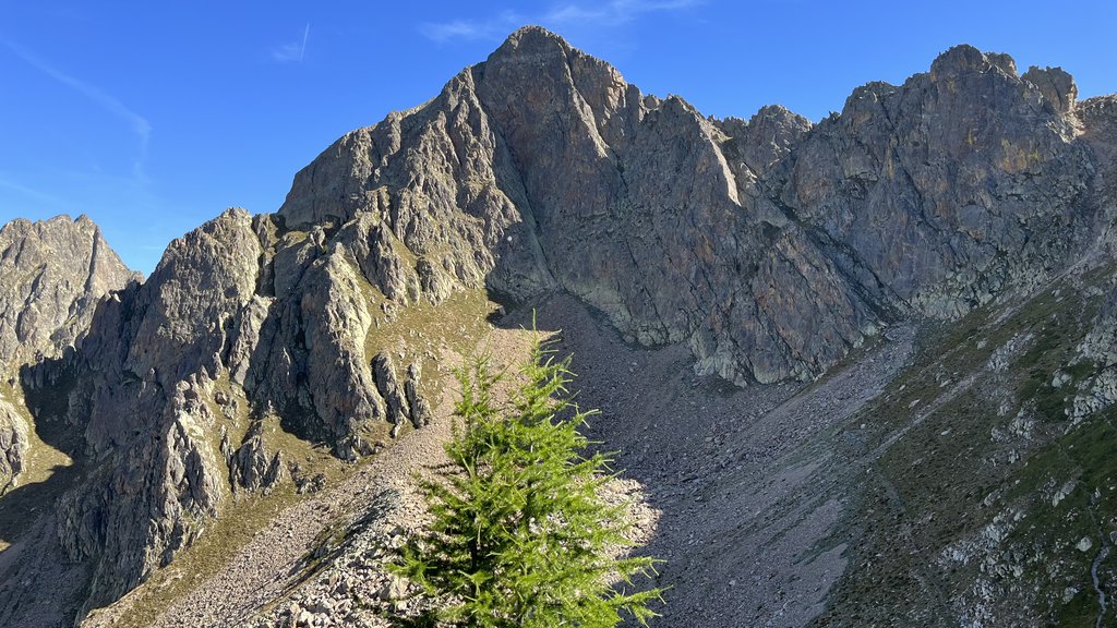
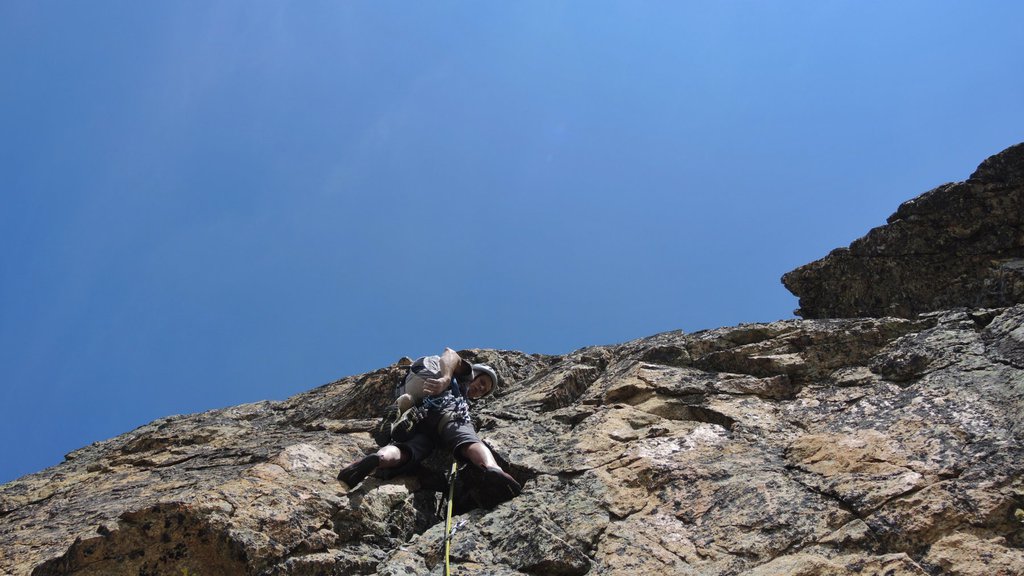
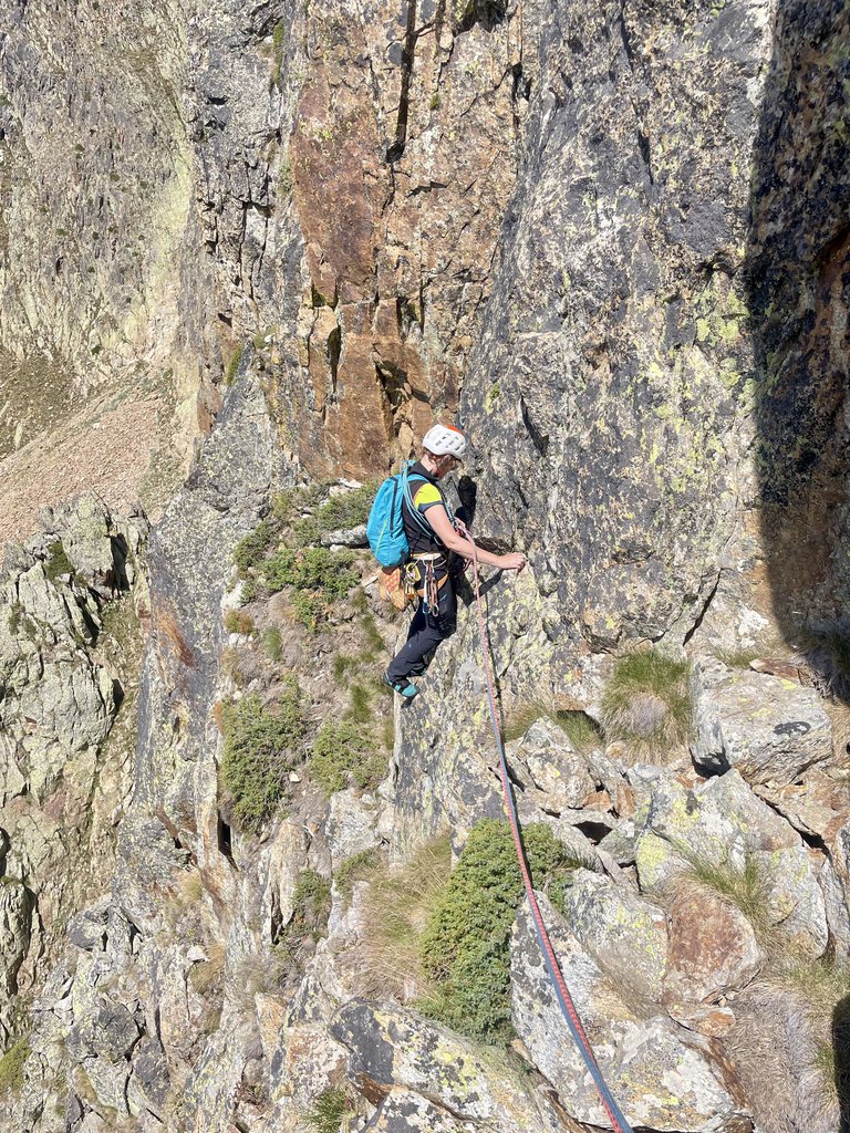
Rock climbing at Testa Gias dei Laghi in Piemont, Italy — 9 routes, 2 sectors, grades French 5c–6c. Grades, topo links and photos on the PeakVisor hiking map.
Show more
Climbing
9 routes5c–6c Fr2 sectorsSW
anticima SO 2701 m
4 routes · 5c–6c Fr · SW–W
Non è per Te5c (obl. 5a) · 300 m · SW Periodo consigliato: primavera, estate, autunno. Attrezzatura: 12 rinvii, corde da 60m, fettucce per le soste. Qualche friend medio piccolo non indispensabili. Dopo Vinadio svoltare per S.Anna di Vinadio S.Prov.255… gulliver.it ↗
Passie Daré6a (obl. 5c) · 230 m · W Via interamente chiodata a spit inox 10mm. Attrezzatura: 12 rinvii, fettucce per le soste, utile ma non necessario un set di friends fino al 2BD. Roccia: gneiss rossiccio, molto buona a tratti ottima (Prestare un po' di… gulliver.it ↗
Eroi di Cartone6b (obl. 6a+) · 300 m · SW A parte alcuni tratti inevitabilmente lichenati ed ancora un po' sporchini..la via presenta alcune lunghezze "molto belle" e tecniche e come su tutte le sue vie si scala e devi saper scalare; il muro del quarto e quinto… gulliver.it ↗
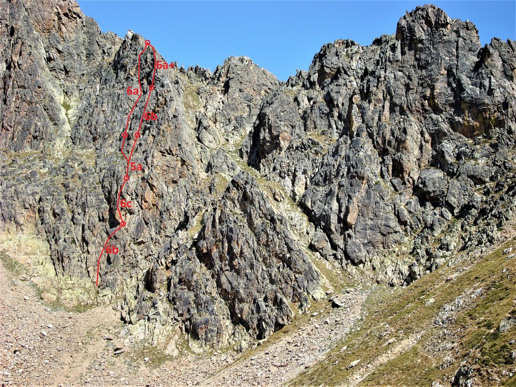
Tre Bien Quasi Quatt6c (obl. 6b) · 220 m · SW Attacco 4-5 metri a sinistra del punto piu basso del secondo torrione. Come per la testa gias dei laghi. 40 min circa. 1° tiro 6b+ 20 mt 2° tiro 6c 25 mt 3° tiro 6b Trasferimento a sx al secondo torrione 4° tiro 6c 5°… gulliver.it ↗
Contrafforti
2 routes · 6b+–6c Fr · S–SW
Marminele6b+ (obl. 6a+) · 140 m · S Materiale: set di friend e collegamenti per le soste (non attrezzate per la discesa). N.B. Si riportano i gradi della relazione originale; le difficoltà sono un po’ inferiori al dichiarato. Strada Colle della Lombarda… gulliver.it ↗
Bel Darè6c (obl. 6b) · 200 m · SW Roccia gneis rossiccio molto buona a tratti ottima. Prestare un po’ di attenzione sui terrazzi, cenge e creste. La scalata è in genere molto tecnica, atletica con passaggi da intuire e mai banali. Materiale: qualche… gulliver.it ↗
Other routes
3 routes · SW
Via dei Principianti - 62 anni e non sentirci
Non è per te5c
62 anni e non Sentirci6b+ (obl. 6a+) · 250 m · SW Via attrezzata completamente a fix da 10 mm. Spit di sosta da collegare. TD+, 12 rinvii, eventuali friends e nuts Da Borgo San Dalmazzo seguire la SS20 in direzione Vinadio, svoltare per Sant'Anna di Vinadio e… gulliver.it ↗
We use GPS information embedded into the photo when it is available.
3D mountains overlay
Adjust mountain panorama to perfectly match your photos because recorded by camera photo position might be imprecise.
Move tool
Rotate tool
Zoom
More customization
Choose which peak labels should make into the final photo and what photo title should be.
Next
Photo Location
Coordinates work here too — paste them as 69.72728, 20.61890 and press Enter
Satellitte
Flat map
Relief map
Latitude
Longitude
Altitude
OR
Latitude
°'''
Longitude
°'''
Apply
Register Peak
Peak Name
Latitude
Longitude
Altitude
Register
Teleport
PeakVisor
This 3D model of Sagarmatha National Park in Nepal was made using the PeakVisor app topographic data. The mobile app features higher precision models worldwide, more topographic details, and works offline. Download PeakVisor maps today.
Download OBJ model
PeakVisor
The download should start shortly. If you find it useful please consider supporting the PeakVisor app.
PeakVisor for iOS and Android
Be a superhero of outdoor navigation with state-of-the-art 3D maps and mountain identification in the palm of your hand!