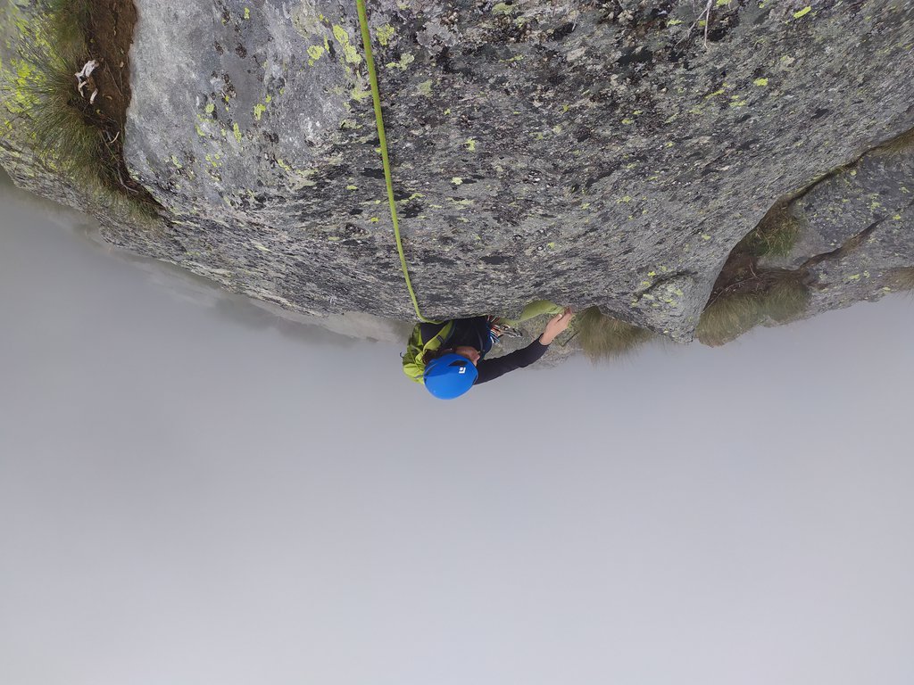
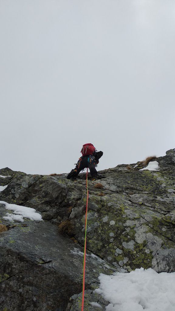
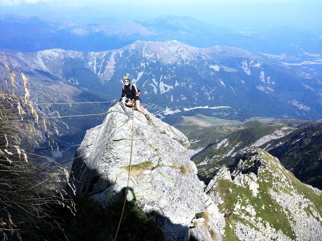
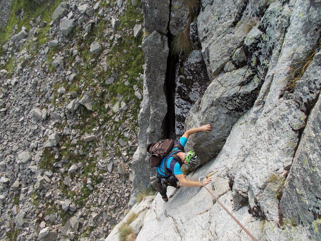
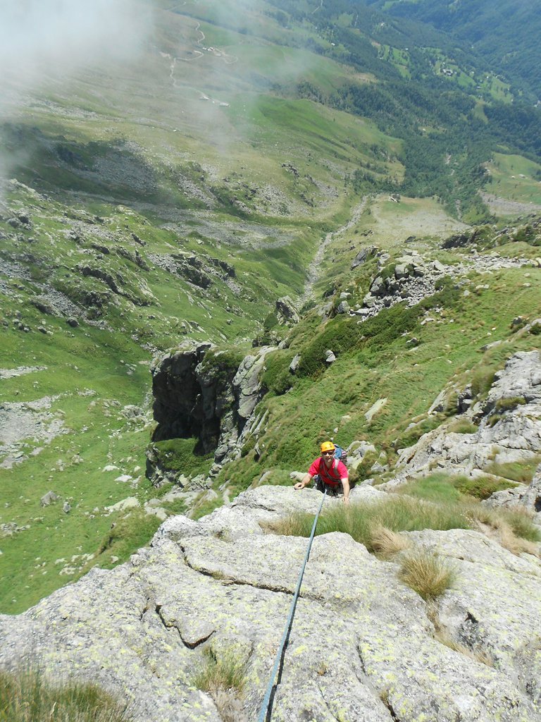
Rock climbing at Monte Mucrone in Piemont, Italy — 6 routes, grades French 4–6b. Grades, topo links and photos on the PeakVisor hiking map.
Show more
Climbing
6 routes4–6b FrNE
Monte Mucrone
6 routes · N–SW
Via Giampi Simonetti6b (obl. 5c) · 300 m · NE Arrampicata moderna con chiodatura assai ravvicinata aperta dal basso nel settembre 2017 da Gianni Lanza, Roby Sellone, Seba Biolcati, Dafne Munaretto, Teo Bizzocchi, Marco Roggero, Luca Ruffino, Giorgio Santimaria… gulliver.it ↗
Welcome to Paradise5a (obl. 4) · 200 m · N Un itinerario di circa 200 mt su ottima roccia con difficoltà relativamente basse. Una "via di una volta", percorribile anche con gli scarponi per renderla più interessante (onestamente con le scarpette risulterebbe… gulliver.it ↗
Spigolo del Velo + Via 355a (obl. 4) · 140 m L'itinerario è una via di montagna in terreno d' avventura, tuttavia ben attrezzato con fix inox e qualche chiodo. Tiri mai superiori ai 30 metri, soste da collegare Dalla stazione superiore funivie Oropa , raggiungere… gulliver.it ↗
Parete Piacenza5b (obl. 5a) · 140 m · NE Bella arrampicata classica su granito compattissimo attacco 70 metri a destra della ferrata del limbo,cartellino alla partenza, ore 0’45. 6 tiri da 30 metri con difficoltà tra 4 e 5 un passo di 5+ non obbl.la via è… gulliver.it ↗
Venervia, la Via del Venerdì4 (obl. 5b) · 190 m · S Bella scalata libera su ottima roccia, attrezzata a fix inox, i tiri non superano i trenta metri. Soste su 2 fix da collegare, S5 possibile clessidra tra i massi. Sufficiente mezza corda da 60 m doppiata. dalla staz… gulliver.it ↗
Ligne de Faiblesse6a (obl. 5b) · 200 m · SW via attrezzata a spit, soste su due spit da collegare. salire al Colle del Limbo e proseguire per il sentiero delle Traversagne. Giunti al pulpito scendere di qualche metro, sempre seguendo il sentiero, e portarsi alla… gulliver.it ↗
We use GPS information embedded into the photo when it is available.
3D mountains overlay
Adjust mountain panorama to perfectly match your photos because recorded by camera photo position might be imprecise.
Move tool
Rotate tool
Zoom
More customization
Choose which peak labels should make into the final photo and what photo title should be.
Next
Photo Location
Coordinates work here too — paste them as 69.72728, 20.61890 and press Enter
Satellitte
Flat map
Relief map
Latitude
Longitude
Altitude
OR
Latitude
°'''
Longitude
°'''
Apply
Register Peak
Peak Name
Latitude
Longitude
Altitude
Register
Teleport
PeakVisor
This 3D model of Sagarmatha National Park in Nepal was made using the PeakVisor app topographic data. The mobile app features higher precision models worldwide, more topographic details, and works offline. Download PeakVisor maps today.
Download OBJ model
PeakVisor
The download should start shortly. If you find it useful please consider supporting the PeakVisor app.
PeakVisor for iOS and Android
Be a superhero of outdoor navigation with state-of-the-art 3D maps and mountain identification in the palm of your hand!