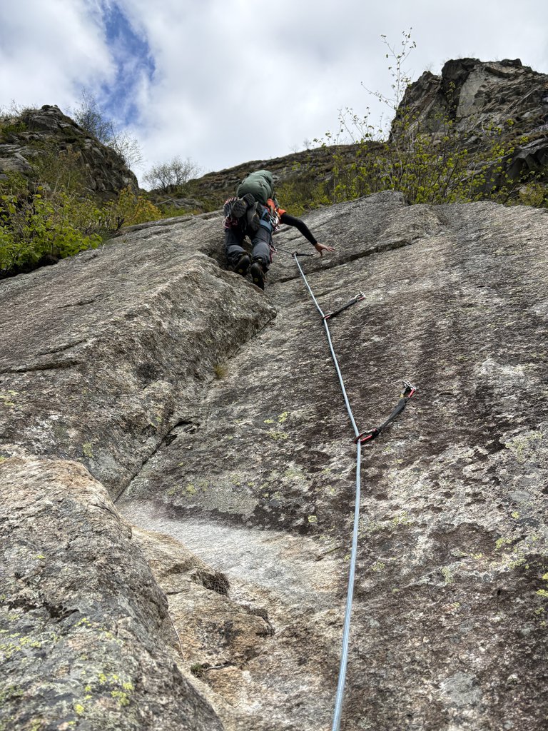
Rock climbing at Luciano Bettineschi in Piemont, Italy — 1 routes, 2 sectors, grades French 5c. Grades, topo links and photos on the PeakVisor hiking map.
Show more
Climbing
1 route5c Fr2 sectorsE
Macugnaga – Luciano Bettineschi (Falesia)
Notes
Dedicata ad una grande guida del posto "il gatto del Monte Rosa" come veniva chiamato Luciano Bettineschi,la falesia è situata in un posto stupendo,vicina al paese ma allo stesso tempo appartato e tranquillo. Si sconsiglia la frequentazione nel periodo del disgelo perché potrebbero verificarsi cadute di pietre.
Approach
Dal parcheggio del centro sportivo di Pecetto, frazione di Macugnaga, seguire il sentiero del Belvedere. Circa 15minuti di cammino,la falesia si trova sulla destra,ben visibile
Description
Esposta al sole fin dal mattino conviene evitare le ore più calde della giornata anche perché il tipo di arrampicata estremamente tecnico con alternanza di aderenza,svasi e minuscole prese, richiede condizioni di temperatura ottimali che comunque, data la quota e il clima secco, non sono difficili da trovare.
Pur essendo esposta a sud, la valle qui comincia ad essere piuttosto stretta e durante il tardo autunno e l’inverno il sole sparisce velocemente dietro al Pizzo Bianco.
Spigolino Bettineschi5c (obl. 5b) · 110 m · E Attrezzatura: 8 rinvii, cordini per soste. È possibile usare una intera da 60 metri (consigliata la 70 per arrivare fino al fiume con l’ultima calata) oppure mezze corde. Soste con maillon da collegare. Da Pecetto… gulliver.it ↗
Dedicata ad una grande guida del posto "il gatto del Monte Rosa" come veniva chiamato Luciano Bettineschi,la falesia è situata in un posto stupendo,vicina al paese ma allo stesso tempo appartato e tranquillo. Si… gulliver.it ↗
We use GPS information embedded into the photo when it is available.
3D mountains overlay
Adjust mountain panorama to perfectly match your photos because recorded by camera photo position might be imprecise.
Move tool
Rotate tool
Zoom
More customization
Choose which peak labels should make into the final photo and what photo title should be.
Next
Photo Location
Coordinates work here too — paste them as 69.72728, 20.61890 and press Enter
Satellitte
Flat map
Relief map
Latitude
Longitude
Altitude
OR
Latitude
°'''
Longitude
°'''
Apply
Register Peak
Peak Name
Latitude
Longitude
Altitude
Register
Teleport
PeakVisor
This 3D model of Sagarmatha National Park in Nepal was made using the PeakVisor app topographic data. The mobile app features higher precision models worldwide, more topographic details, and works offline. Download PeakVisor maps today.
Download OBJ model
PeakVisor
The download should start shortly. If you find it useful please consider supporting the PeakVisor app.
PeakVisor for iOS and Android
Be a superhero of outdoor navigation with state-of-the-art 3D maps and mountain identification in the palm of your hand!