
Scan the QR code and open PeakVisor on your phone

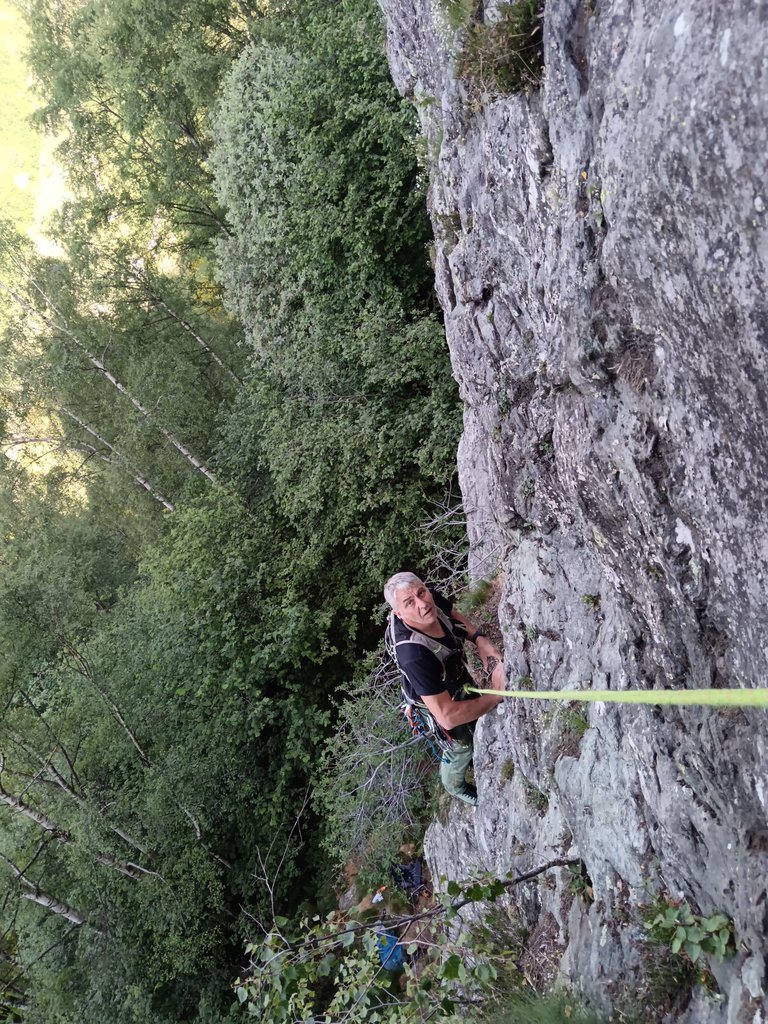
Tutte le vie si prestano bene per iniziare il ruolo di capocordata su più tiri data la chiodatura abbondante e super sicura. Sul Sole Nascente soste con anelli automatici per passare immediatamente la corda, ideale per i giovanissimi.
Dal Colle del Lys (Rubiana/Viù) scendere in direzione Viù per 150 metri circa, voltare a sinistra raggiungendo il bar ristorante al vecchio skilift, quindi proseguire per la sterrata pianeggiante a destra fino al suo termine, ampio parcheggio.
Imboccare il sentiero in falsopiano sul versante Val Susa, segnato con bolli rossi che presto si infila nella bellissima faggeta. Al primo bivio, poco evidente, prendere a destra una breve rampa in salita (segnalato)poi ancora in falsopiano fino alla base del Primo Torrione 20 min. Nel caso si perda il predetto bivio, si giungerebbe alla base del settore dell’Avancorpo (non descritto), risalirne per sentiero il suo lato destro giungendo comunque alla base del Primo Torrione (cartellone con schema sito). Per i Settori delle Placche, oltrepassato la base del Primo Torrione, raggiungerli per sentiero pianeggiante 5 min.
PLACCHE DEL FONTANINO
1 Tao 5+ / 6a / 3
2 No TAV 4 / 5+ / 4
3 Lambada 5 / 5+ / 4
4 Cosetta 5 / 4 / 3
5 Amici cani 4 / 4+ / 3
PLACCHE DEL SOLE NASCENTE
6 Velociraptor 3+
7 Ceratopo 3+
8 Pinacosauro 3 / 3
9 Collo Lungo 3 / 5-
10 Diplodocus 3
11 Jurassick Rock 3+
PLACCHE DELLA COMODITA’
12 Comoda la vita 5 / 6a / 3
13 La via di Puffetta 5+ / 3
Text by gulliver.it · updated 28/12/2022
Tutte le vie si prestano bene per iniziare il ruolo di capocordata su più tiri data la chiodatura abbondante e super sicura. Sul Sole Nascente soste con anelli automatici per passare immediatamente la corda, ideale per… gulliver.it ↗
Data: gulliver.it





