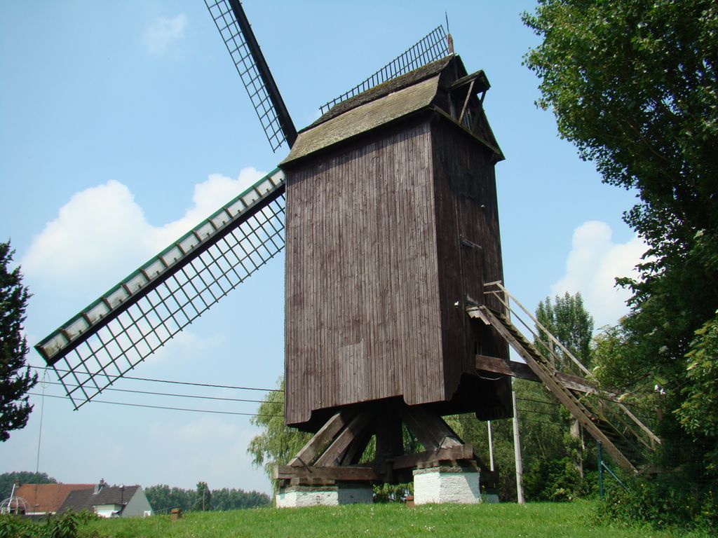
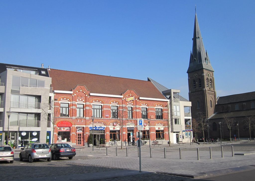
Kuurne (Dutch pronunciation: [ˈkyːrnə]) is a municipality located in the Belgian province of West Flanders. The municipality comprises only the town of Kuurne proper. On January 1, 2006, Kuurne had a total population of 12,591. The total area is 10.01 km2 which gives a population density of 1258 inhabitants per km2. The Leie functions as a natural border between Kuurne and Harelbeke. Inhabitants from Kuurne are nicknamed 'donkeys'. This is said to be a term of derision given to them by the people of nearby Kortrijk because traders from Kuurne habitually set off for the Kortrijk market at an early hour, their ass-drawn carts laden with vegetables. Awoken by the rattle of the cart wheels and the braying of the asses, the people of Kortrijk exclaimed: "It's those asses from Kuurne again!" An alternative, more legendary explanation originates from the tale of a priest who had to hold a funeral on Ash Wednesday. He asked the sacrister to take over his regular service, but the latter couldn't remember the Latin words "Memento, homo, quia pulvis es, et in pulverem reverteris" (Remember, man, that dust thou art, and unto dust thou shalt return), which are to be proclaimed while applying a cross of ash to the foreheads of the churchgoers. Later the priest spoke to him in exasperation, saying: "You were born an ass, and you will die an ass!" "Aha," said the sacrister, "I'll remember that!" and so saying, he continued giving the people of Kuurne their crosses of ash. The best-known donkey in Kuurne is 'Ambroos' (Ambrose), a larger-than-life and somewhat stylised statue in front of the town hall. The winner of the annual pro road cycling race Kuurne–Brussels–Kuurne received a big bouquet and a soft toy version of 'Ambroos' to wave from the stage.
Show more
Sun and Moonover the terrain
Mon
Tue
Wed
Thu
Fri
Sat
Sun
May 2022
Date and time
00:00
06:00
12:00
18:00
Today
--
--
Sunrise
--
Sunset
--
Moonrise
--
Moonset
Golden light -- and --
Phase
🌔 Waxing Gibbous
PeakVisor app
Get the app on your smartphone
Panorama tools
Identify a point and trace it on the map
Measure distances
Sun and Moon: position, rise and set
Time of day: run through 24 hours — sunrise, sunset, starry skyNew
We use GPS information embedded into the photo when it is available.
3D mountains overlay
Adjust mountain panorama to perfectly match your photos because recorded by camera photo position might be imprecise.
Move tool
Rotate tool
Zoom
More customization
Choose which peak labels should make into the final photo and what photo title should be.
Next
Photo Location
Coordinates work here too — paste them as 69.72728, 20.61890 and press Enter
Satellitte
Flat map
Relief map
Latitude
Longitude
Altitude
OR
Latitude
°'''
Longitude
°'''
Apply
Register Peak
Peak Name
Latitude
Longitude
Altitude
Register
Teleport
PeakVisor
This 3D model of Sagarmatha National Park in Nepal was made using the PeakVisor app topographic data. The mobile app features higher precision models worldwide, more topographic details, and works offline. Download PeakVisor maps today.
Download OBJ model
PeakVisor
The download should start shortly. If you find it useful please consider supporting the PeakVisor app.
PeakVisor for iOS and Android
Be a superhero of outdoor navigation with state-of-the-art 3D maps and mountain identification in the palm of your hand!