Get PeakVisor App
Sign In
Search by GPS coordinates
- Latitude
- ° ' ''
- Longitude
- ° ' ''
- Units of Length

Yes
Cancel
❤ Wishlist ×
Choose
Delete
From the High Fens to the Ardennes, Belgium boasts some remarkable landscapes for hikers to explore. There are 332 named summits in Belgium. Signal de Botrange (694 m/2,277 ft) is the highest point. The most prominent mountain is Baraque de Fraiture (652 m/2,139 ft).
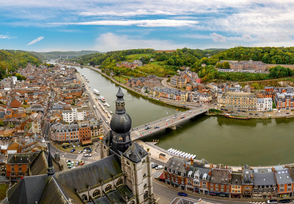
Belgium, known officially as the Kingdom of Belgium, is a country in northwestern Europe. It covers an area of approximately 30,689 sq km (11,849 sq mi). With a population of over 11.5 million, Belgium is the twenty-second most densely populated country in the world.
Belgium is located in northwestern Europe and is bordered by Luxembourg to the southeast, France to the southwest, Germany to the east, and the Netherlands to the north.
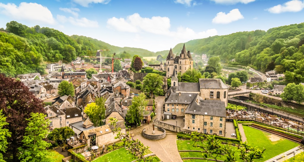
Belgium is split into three autonomous regions. The Flemish-speaking Flemish Region (Vlaams Gewest) encompasses the northern 44 percent of Belgium, while the French-speaking Walloon Region (Wallonie) encompasses the southern 55 percent of Belgium.
The Brussels-Capital Region is an enclave within the southern half of the Flemish Region which centers around the capital city of Brussels.
Flanders and Wallonia are divided into 5 provinces each.
The provinces of Flanders:
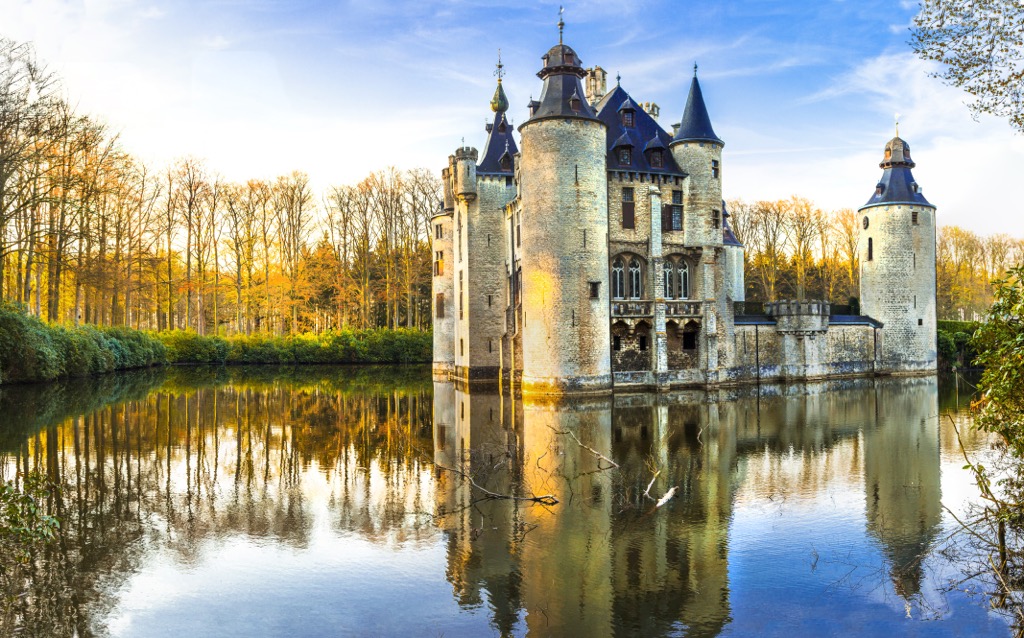
The provinces of Wallonia:
Geographically, Belgium consists of three main regions. To the northeast is the coastal plains, which includes Belgium's only stretch of coastline and is composed mainly of dunes and low-lying pastures. The central plateau covers most of inland Belgium and features undulating valleys carved by waterways.
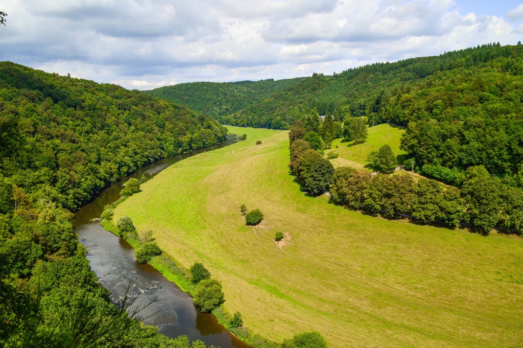
Finally, in the southeast is the forested Ardennes uplands, which encompass most of the southeast of Wallonia. The Ardennes is Belgium's most mountainous region and is connected to the Eifel in Germany and the High Fens (Hohe Venn) plateau. It's home to many of Belgium's highest points, including Signal de Botrange (694 m/2,277 ft).
Belgium has two main rivers, the Scheldt (Escaut) and the Meuse (Maas). Both rivers start in France and flow east across Belgium into the Netherlands. The largest lake in Belgium is the Eau d'Heure lakes (lacs de l'Eau d'Heure), a network of five artificial lakes with an overall surface area of 6.17 sq km (2.38 sq mi).
Belgium is home to two national parks, the De Zoom–Kalmthoutse Heide Cross-Border Park, which is located on the Dutch-Belgian border in Antwerp, and Hoge Kempen National Park (Nationaal Park Hoge Kempen) in Limburg.
Aside from the capital Brussels, notable cities in Belgium include Antwerp, Ghent, Bruges, and Liège.
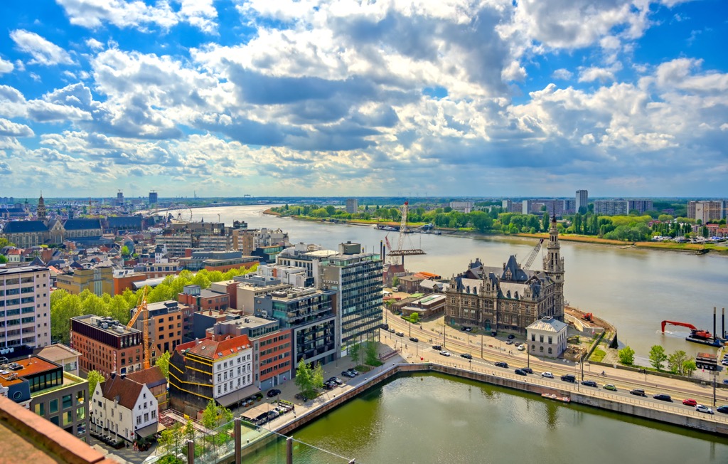
Since the nineteenth century, Belgium's rock outcrops have been a global reference point for identifying different rock strata (stratigraphy). Belgium is considered an important reference point for modern geological studies.
Some of Belgium's strata are internationally recognized as having standard layering features from the Devonian and Carboniferous periods.
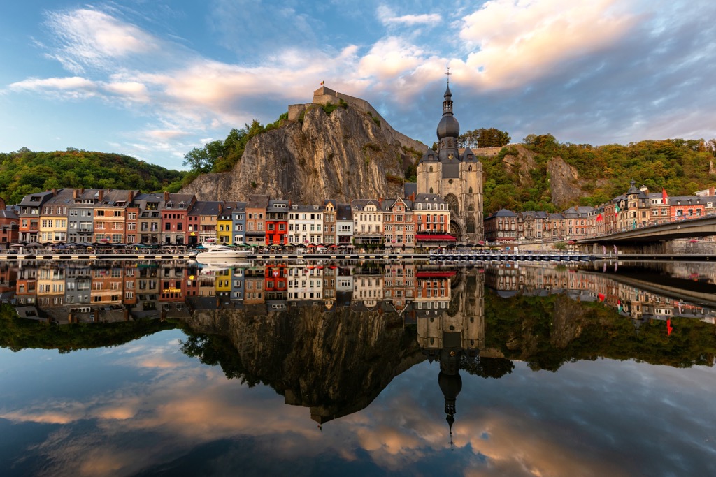
The geological structure of Belgium dates back over 500 million years. The rock structure of Belgium was folded during two mountain-building events, known as orogenies.
First was the Caledonian Orogeny, caused by the Iapetus Ocean's closure and the collision between the paleocontinents of Laurentia, Baltica, and Avalonia. This event formed large parts of the British Isles, the Scandinavian Mountains, Greenland, and parts of central Europe.
The second was the Hercynian Orogeny, which occurred between 280 and 380 million years ago. A continental collision between the supercontinents of Euramerica and Gondwana, resulting in the formation of Pangaea, caused this orogeny.
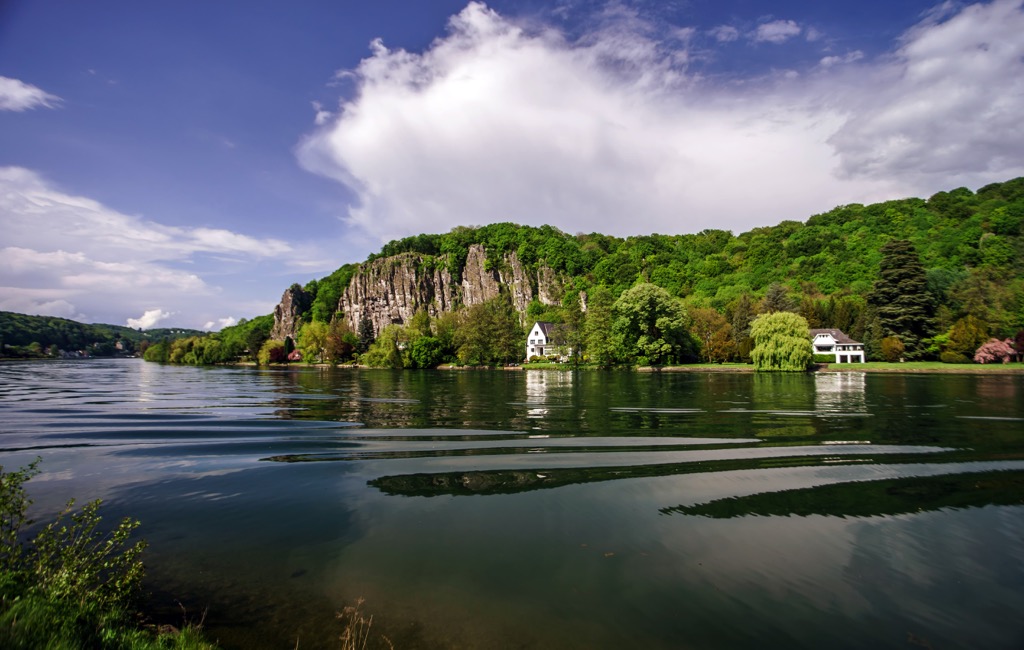
The Hercynian Orogeny resulted in the Hercynian mountain belt, which stretches across most of Europe, from Munster in Ireland, across England, France, and Spain. The Ardennes in Belgium were formed due to the Hercynian Orogeny.
Rocks from the Paleozoic Era form the basement of Belgium. These rocks were overlain with sediments from the Mesozoic and Cenozoic eras. During the Quaternary, continental ice sheets and extreme weather eroded the Ardennes into a lower mountain range.
Modern Belgium is relatively flat, with most of the country's highest points located in the southeast in the Hercynian mountain belt. Aside from Signal de Botrange, notable mountains in Belgium include Weißer Stein (693 m/ 2,273 ft), Eichelsberg (697 m/2,287 ft), and Baraque de Fraiture (652 m/ 2,139 ft).
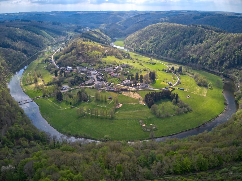
Despite its increased urbanization, Belgium still boasts a variety of captivating flora and fauna. Read on to learn about Belgium's wildlife.
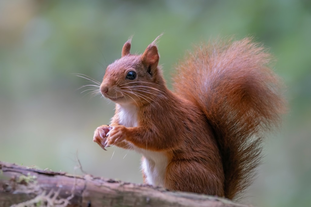
Many of the mammal species present in Belgium are typical to Europe, including red foxes, wild boars, red deer, European badgers, and red squirrels. Eurasian wolves, once fought to be extinct in Belgium, are making a slow comeback.
There are many endangered mammal species in Belgium, such as garden dormice and Eurasian otters. Several of these threatened species are bats, including pond bats, western barbastelle bats, and lesser horseshoe bats.
Approximately 477 bird species have been identified in Belgium. The common kestrel is Belgium's national bird.
Notable large birds and birds of prey present include great bustards, black-browed albatrosses, common cranes, ospreys, peregrine falcons, and Eurasian eagle-owls. Smaller birds include common cuckoos, common kingfishers, Eurasian moorhens, and Eurasian oystercatchers.
Insect species are abundant in Belgium. Avid nature watchers will want to be on the lookout for common blue butterflies, azure damselflies, European firebugs, peach blossom moths, common cockchafers, and European striped shield bugs.
Of the reptiles in Belgium, the common adder is the only venomous snake. Belgium's other reptile and amphibian species include natterjack toads, barred grass snakes, false map turtles, and fire salamanders.
The rivers of Belgium are home to numerous fish species such as pike, carp, perch, and catfish.
The flora of Belgium is diverse, with around 1,300 vascular plant species and 5,000 fungi species. Approximately 22 percent of Belgium is forested, with beech and oak the most common tree species.
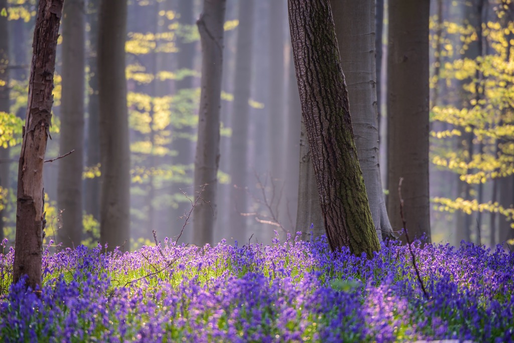
The most common vascular plants in Belgium, which are widespread across the country, are meadow grass, large nettle, and shepherd's purse.
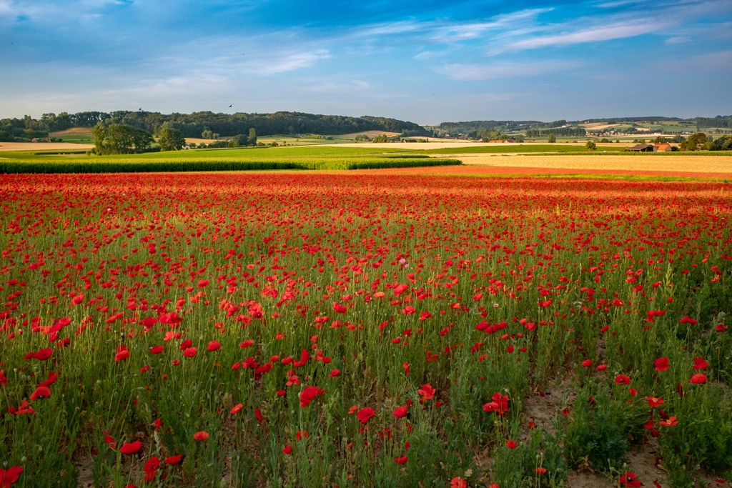
Belgium is the world's largest producer of azaleas and begonias and is also home to roses, bluebell, chrysanthemums, and freesias. Other notable flowering plants in Belgium include tulips, daffodils, cherry blossoms, poppies, and buttercups.
Across the dunes to the northwest of Belgium, you'll find a few plants growing, like sea buckthorn, colostrum grass, and marram grass. The central plateau is mainly covered by heathland interspersed with maritime pine and Scots pine.
The Ardennes is Belgium's most heavily forested area, with numerous beech and high fir forests. Heavy logging in the Ardennes means very little old-growth forest remains.
Humans have been inhabiting Belgium for over 100,000 years, with neanderthal fossils being uncovered near Engis in Liège in the early nineteenth century.
There is evidence of early farming in Belgium from the Neolithic period by the Linear Pottery culture around 5,000 BCE. However, it wasn't until around 1,750 BCE that Belgium had a large permanent population.
Before the arrival of the Romans in Belgium, the region was inhabited by the Belgae, a confederation of tribes and the country's namesake. After being conquered by the Romans, northern Gaul, including Belgium, became a part of Gallia Belgica.
Following the collapse of the Western Roman Empire, large parts of modern Belgium came under the control of Frankish Merovingian kings. By the eighth century, the Carolingian Dynasty took control of the Frankish Kingdom, with eastern Belgium at the center of their empire.
Over the following centuries, the Frankish Kingdom was split up several times, most notably by the Treaty of Verdun in 843, which changed the political dynamics of the Middle Ages.
The kingdom's lands were split in three, with parts of Belgium rapidly changing hands. Most of Belgium was a part of Lotharingia, with the county of Flanders a part of West Francia, the precursor to modern France.
By the fifteen century, the county of Flanders was one of the wealthiest areas of Europe. Flanders often feuded with West Francia, but West Francia never lost control of the region.
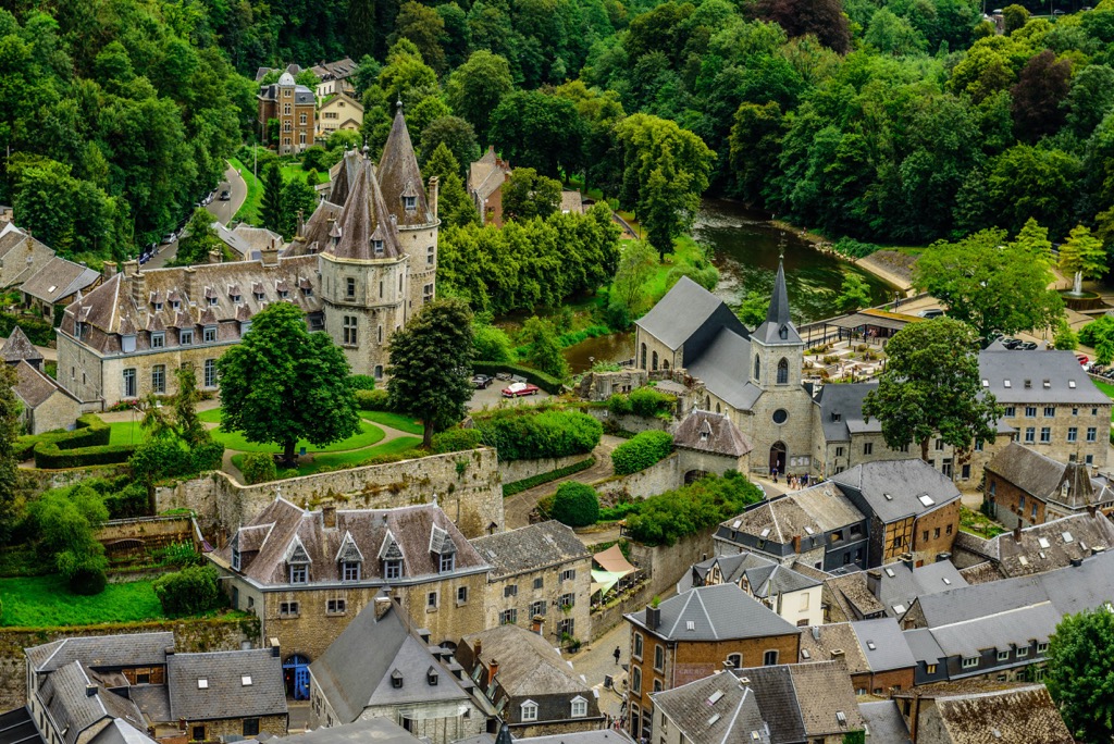
The Duke of Burgundy took control of France in the sixteenth century, uniting the Low Countries: Luxembourg, the Netherlands, and Belgium. Known as the Burgundian Netherlands, this union gave the region greater economic stability. The heir to the Burgundians, Emperor Charles V of the House of Habsburg, inherited control of the Burgundian Netherlands.
By 1568 the Eighty Years' War had started, caused by the Reformation and the Spanish preference for Protestantism. The result was the split of the Burgundian Netherlands.
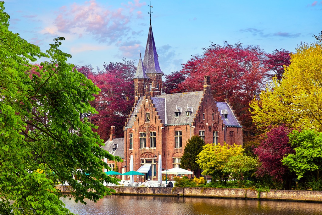
The northern United Provinces were ruled by the Spanish as the Spanish Netherlands, while the Southern Netherlands were ruled by the House of Habsburg as the Austrian Netherlands. What followed was a period of turmoil in the region, with the onset of several other wars, including the Franco-Dutch War and the Austrian War of Succession.
By the end of the eighteenth century, the French Revolutionary Wars led the Low Countries of Belgium and the Netherlands to be annexed by the First French Republic. The Low Countries reunified following the Napoleonic Wars as the United Kingdom of the Netherlands.
The Belgian Revolution in 1830 led to the establishment of Belgium as a fully independent country. The crowning of Belgium's first king, Leopold I, on 21 July 1831, is celebrated as Belgium's National Day.
In 1885, Belgium gained control of the Congo Free State under the possession of King Leopold II. During this time, the Congo was one of the biggest exporters of rubber and ivory. Belgium was highly criticized for its cruel treatment of the Congolese people, with potentially several million Congolese citizens dying during this period.
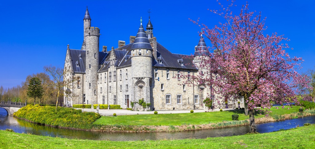
Belgium was on the Western Front of World War I, and in the aftermath, was awarded control of Ruanda-Urundi (Rwanda and Burundi) from Germany, as well as the Prussian districts of Eupen and Malmedy.
Germany invaded Belgium again in 1940, resulting in over 40,000 Belgian deaths due to the Holocaust. Following the liberation of Belgium, King Leopold III was forced to abdicate his throne as he was seen to have collaborated with the Nazis.
The Congo gained independence in 1960, followed by Rwanda and Burundi two years later.
In 1957, Belgium became a founding member of NATO and the European Economic Community, the latter of which became the European Union (EU). Today, Brussels is the de facto capital of the EU.

Belgium's varied landscape is perfect for hikers of all abilities, with a mixture of Grande Randonnées and family-friendly strolls.
Ensure you're well-prepared before setting off on a hike in Belgium. Map out your route, wear suitable clothing, and bring plenty of food and water. Check the weather forecast and inform others of your intended itinerary.
Read on to learn about some of the best hikes in Belgium.
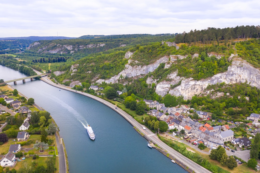
The Promenade des Échelles, or the Walk of the Ladders, is often cited as one of Belgium's most exciting hikes. Located near the village of Rochehaut in Luxembourg, the Promenade des Échelles will take you to some of the finest viewpoints in the Semois Valley (Simwès Vallée).
This walk is relatively short but demanding, with steep narrow paths, staircases, and three ladders to climb. There are a couple of magnificent viewpoints along the trail, including the view of the village of Frahan and the Semois River over a sheer rock outcrop.
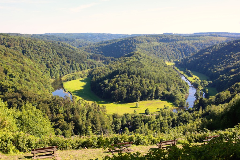
You can pick up this trail from the Rue de Moissons in Rochehaut. The trail is approximately 5 km (3.1 mi) in length and is marked number 43.
The Roches Crahay trail in Aywaille, Liège, is another excellent valley hike. The trail follows the Ninglinspo River, the only mountain river in Belgium. The Ninglinspo Valley (Vallon du Ninglinspo) is considered one of the finest valleys in Belgium.
Along the walk, you'll criss-cross the Ninglinspo River on wooden footbridges and get a chance to admire several small waterfalls and babbling natural baths. One of the finest waterfalls on this trail is the Cascade de la Chaudière. The Point de vue Drouet affords breathtaking panoramas of the valley below.
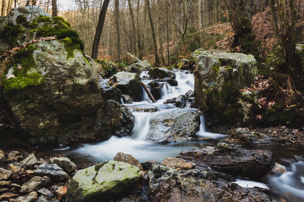
You pick up the Roches Crahay trail from the Sedoz car park near Remouchamps. The trail is approximately 6 km (3.7 mi) in length and is marked with a blue rectangle.
Signal de Botrange (694 m/2,277 ft) is the summit of a broad plateau located in the High Fens, the largest nature reserve in Belgium. The highest point in Belgium, Signal de Botrange can be reached along several trails. During the winter, it's a popular cross-country skiing destination.
Hikers looking for a short walk around the High Fens to Signal de Botrange should follow the 8.5 km (5.2 mi) trail from the Parking Botrange next to the Le Signal de Botrange restaurant.
The trail heads north into the High Fens and over Baraque Michel (674 m/2,211 ft), the third highest point in Belgium. At Baraque Michel, the trail heads south and over the summit of Signal de Botrange before returning to your starting point.
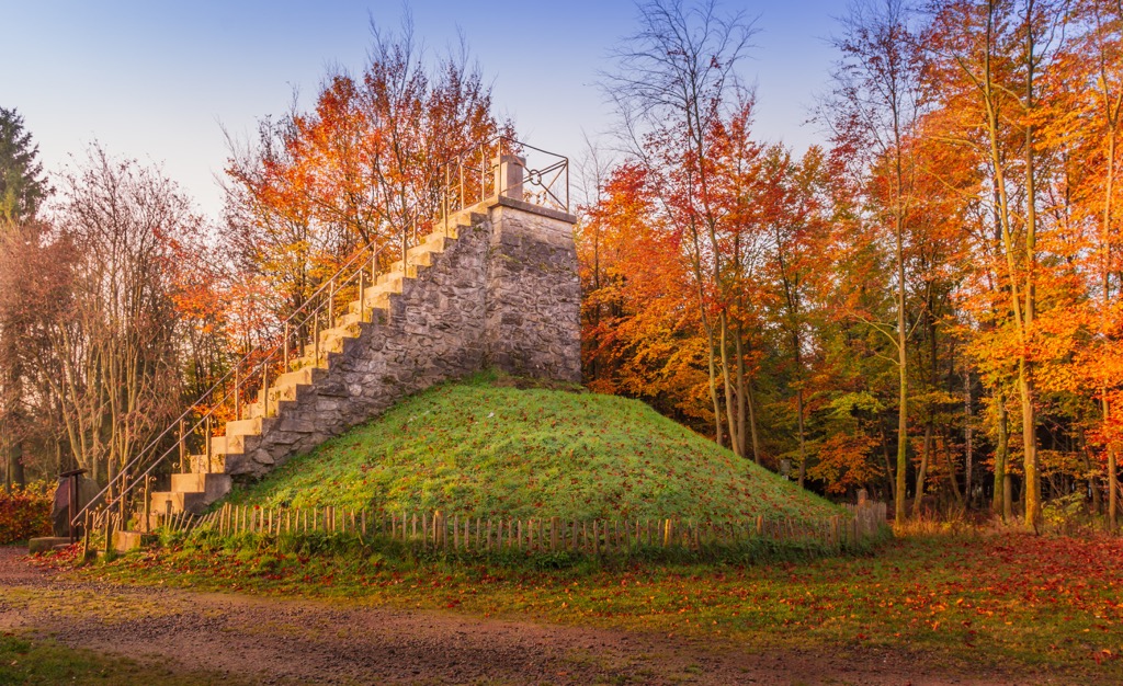
A longer alternative route is the Grande Randonnée (GR) 573 from Eupen to Botrange. This 22.7 km (14.1 mi) trek leads from the city of Eupen through the Hertogenwald, one of the largest enclosed forests in the Ardennes. The path is marked with red-and-white signs.
Passing over the Herzogenhügel rock outcrop and the Spohrbach stream, you'll reach the High Fens plateau. Soon, you'll reach the Signal de Botrange and the end of this Grande Randonnée.
The Rocher du Bieley is affectionately nicknamed the "Matterhorn of Belgium." While it might not match the elevation of its 4,500 m (14,763 ft) high Swiss sister, the Rocher du Bieley is still well worth a visit.
Located close to the German border, Rocher du Bieley is climbable from Belgium; however, the area nearby is an active military firing range, so plan your route carefully. Despite not being well marked on maps, Rocher du Bieley is a real hidden treasure of eastern Belgium.
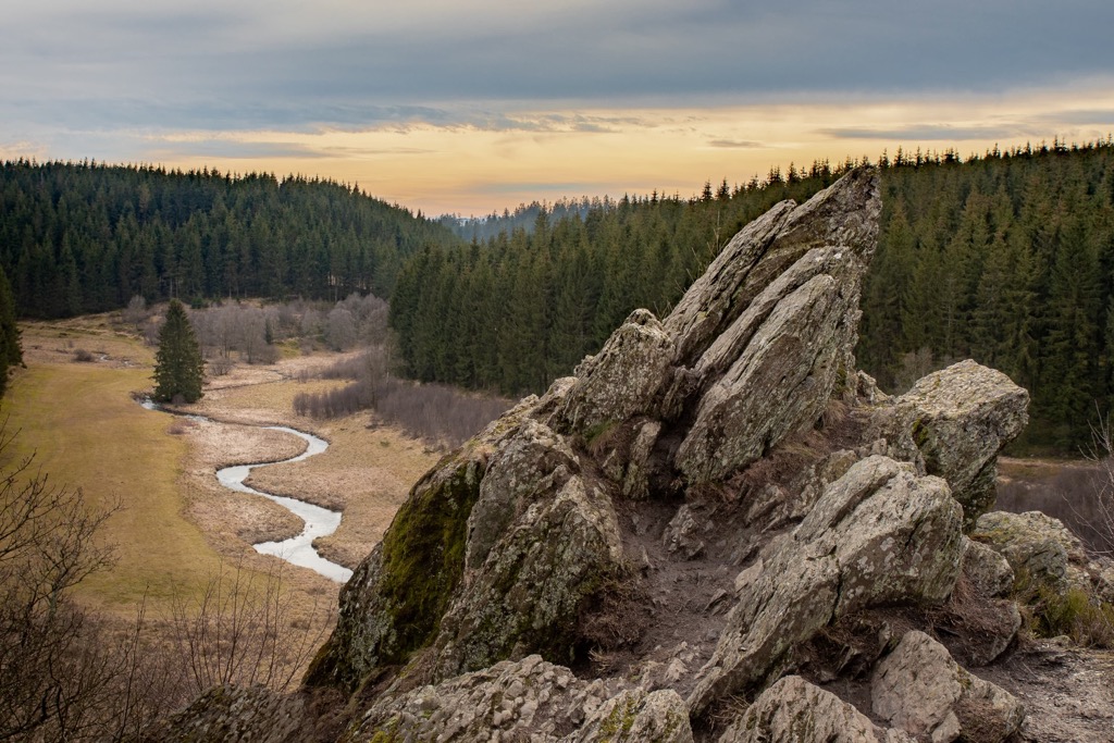
On the way to Rocher du Bieley, you'll pass through some lush forests, including the Dickelt. From atop the jagged Rocher du Bieley, there's a gorgeous vista of a forest clearing a stream winding off into the distance.
You can pick up this trail from along the Rocherath road. The walk is approximately 14 km (8.6 mi) in length, depending on your route.
The Westhoek trail is the perfect hike if you're visiting Belgium's coastline. The trail crosses the De Westhoek, a nature reserve consisting of picturesque dunes and low-lying meadows.
Beautiful ocean views and sandy strolls make the Westhoek trail a pleasant change of scenery from Belgium's other hiking destinations. The trail also passes through sections of the Calmeyn forest and over the Krakeel dunes.
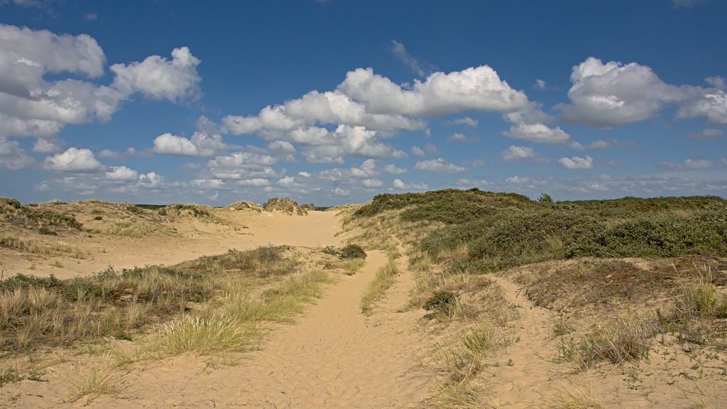
You can pick up the Westhoek trail from Bezoekerscentrum De Nachtegaal in De Panne. The walk is approximately 10.4 km (6.4 mi) in length and is marked with hexagonal signs.
The Promenade de la Fagne Sacrawe leads over Belgium's most prominent mountain, Baraque de Fraiture (652 m/2,139 ft). Located in Luxembourg, Baraque de Fraiture is the highest point on the Tailles Plateau at the heart of Ardennes.
Despite Baraque de Fraiture's prominence, the Promenade de la Fagne Sacrawe is a fairly leisurely trail that leads across heathlands and through dense forests. Large parts of the route follow boardwalks, but the dirt paths can be muddy, so wear hiking boots.
The Promenade de la Fagne Sacrawe is approximately 6.2 km (3.8 mi) in length and is marked with blue cross signs.

GR 56 is one of the most popular long-distance hiking routes in Belgium. This 160 km (99.4 mi) trail is split into 8 individual loops, which snake their way through the East Cantons.
GR 56 G starts just across the German border in Monschau and reaches as far south as Burg-Reuland. The most common route is from St. Vith to Malmedy. Many of the trail loops are optional, and it's possible to extend your walk from 160 km (99.4 mi) to over 200 km (124.2 mi).
These routes traverse eastern Belgium's finest landscapes, including the High Fens and the Amblève Valley. You'll also pass over Belgium's highest point, Signal de Botrange (694 m/2,277 ft).
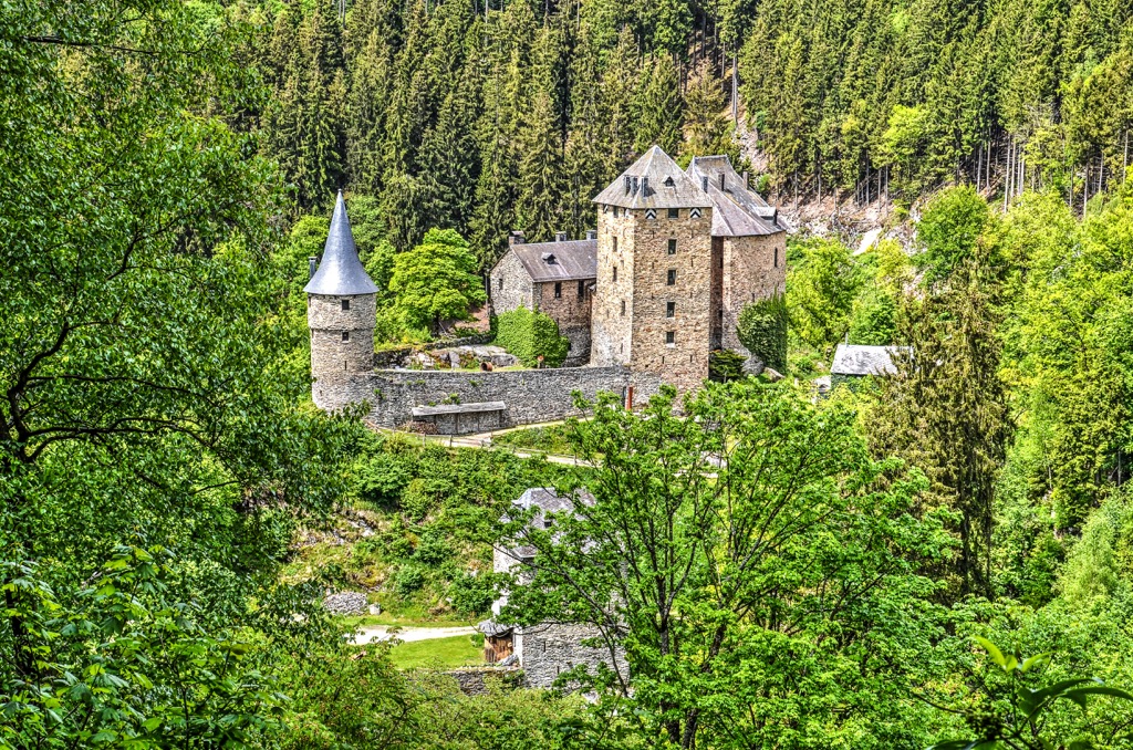
One of Europe's most densely populated countries, Belgium boasts many vibrant and historic cities. Read on to learn about Belgium's main cities.
Brussels (Bruxelles/Brussel) is the capital of Belgium and the perfect base from which to explore Flanders and Wallonia. Located at the heart of Belgium, Brussels is the capital of the EU and is famed for its multiculturalism, cuisine, and history.
Brussels is home to some world-famous landmarks, from the lavish Grand Place (Grote Markt) to iconic statues like the seventeenth-century Manneken Pis. Brussels isn't short of cultural wonders either, with attractions like the Royal Museums of Fine Arts of Belgium (Musées royaux des Beaux-Arts de Belgique/ Koninklijke Musea voor Schone Kunsten van België) and the Parc du Cinquantenaire.
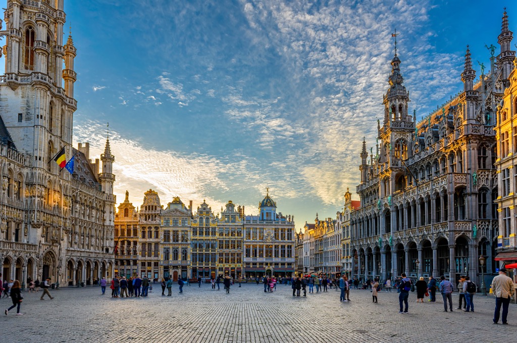
Brussels is well-placed for hiking adventures, with most of Belgium's best trails less than a two-hour drive from the capital. Popular hotels in Brussels include Bedford Hotel, Motel One, and Warwick Brussels.
Antwerp (Antwerpen) is the capital of the Antwerp province and the largest city in Flanders. Antwerp is famous for its historic diamond industry and for having the second-largest port in Europe.
Antwerp offers something for everyone, with attractions that'll please all ages, like the Antwerp Zoo and Chocolate Nation, the world's largest Belgian chocolate museum. History buffs will love Antwerp's medieval structures, like the thirteenth-century Het Steen fortress and the fourteenth-century Cathedral of Our Lady Antwerp (Onze-Lieve-Vrouwekathedraal).

Antwerp is located close to the Dutch border and is well-positioned for exploring Belgium's coastal plains and Hoge Kempen National Park. Popular hotels in Antwerp include Hampton by Hilton, Radisson BLU Astrid Hotel, and Tryp by Wyndham.
Located where the Scheldt and Leie rivers meet is the city of Ghent (Gent). The capital and largest city in East Flanders, Ghent is a university and port city famed for its ancient architecture.
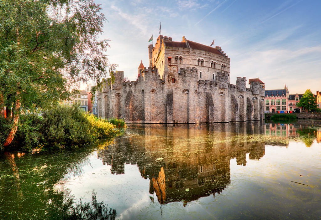
During your stay in Ghent, ensure you explore Grass Quay (Graslei), the city's beautiful medieval port lined with cafes and restaurants overlooking the Leie river. You should also take a tour of Gravensteen, an imposing twelfth-century fortress that was once the residence of the Count of Flanders.
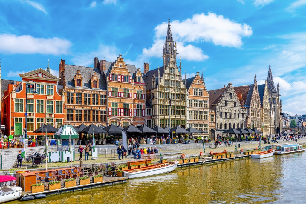
Located in the northeast of Belgium, Ghent is less than 70 km (43 mi) from the country's coastline. It's also ideal if you're planning a day trip to Bruges, arguably Belgium's most beautiful city. Popular hotels in Ghent include NH Ghent Belfort, Ghent River Hotel, and Pillows Grand Boutique Hotel.
Liège is the capital of the province of Liège and the largest city in eastern Belgium. Liège is one of Belgium's main commercial hubs and is popular with tourists due to its breathtaking churches.
You'll find some of Belgium's most opulent churches in Liège, like Saint Bartholomew's Church (Eglise St-Barthelemy) and Liège Cathedral. You also should also wander around the Hillsides of the Citadel (Coteaux de la Citadelle), with its famous stairways and terraces.
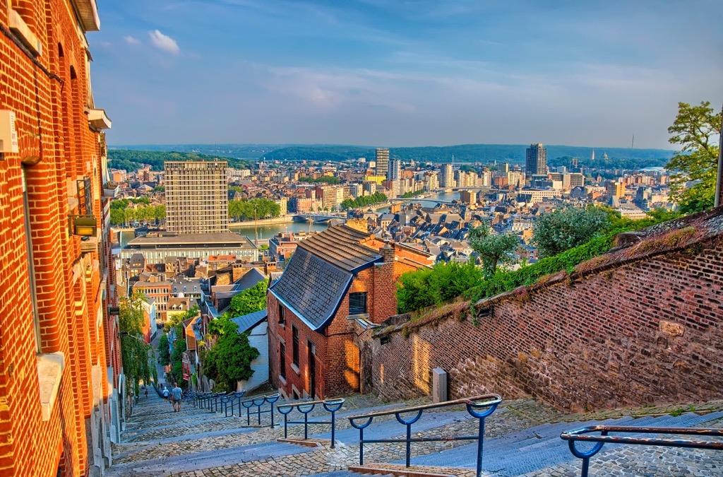
There are few better places to stay in Belgium if visiting the High Fens than Liège. The city is located less than 70 km (43 mi) from Signal de Botrange (694 m/2,277 ft). Popular hotels in Liège include Hotel De La Couronne, Van Der Valk Sélys Liège Hotel, and Univers Hôtel Liège-Guillemins.
Bruges (Brugge) is the capital of West Flanders and the sixth-largest city in Belgium. Bruges is one of the biggest tourist destinations in Belgium, thanks to its UNESCO-protected city center, canals, and cobbled streets. Due to its beauty, Bruges is sometimes referred to as the "Venice of the North."
One of the best activities in Bruges is to climb to the top of the 83 m (272 ft) tall Belfry of Bruges, which affords a spectacular bird's eye view of the city. It's also worth touring some of Bruges' opulent churches, like the Church of Our Lady (Onze-Lieve-Vrouwekerk) and the Basilica of the Holy Blood (Heilig-Bloedbasiliek).
Bruges is located less than 25 km (15.5 mi) from the coastline, and while the city isn't close to many major hiking areas, it's well worth a visit. Popular hotels in Bruges include Hotel Ter Brughe, Martin's Brugge, and Grand Hotel Casselbergh.

Explore Belgium with the PeakVisor 3D Map and identify its summits.


