
Scan the QR code and open PeakVisor on your phone

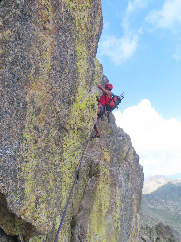
Una falesia estiva con una trentina di vie distribuite in tre settori.
Soste attrezzate con catena e maillon, necessitano solo di un set di rinvii.
Dal Masso dell'Apparizione seguire la mulattiera per il Lago di S. Anna. Giunti sotto la Rocca di Colla Auta lasciare la mulattiera e salire per tracce di sentiero (bolli a forma di impronta) fino alla base della parete (pannello).
La falesia è divisa in tre settori tutti molto vicini. Da sinistra verso destra abbiamo:
SETTORE PAPEROPOLI (da sinistra verso destra)
1-Nonna Papera 4b
2-Pico de paperis 4a
3-Moby Duck 3c
4-Edy 4a
5-Ciccio 5b
6-Filosganga 5c
7-Paperoga 5a
8-Amelia 4b
9-Spennacchiotto 3a
SETTORE TOPOLINIA (da sinistra verso destra)
10-Gas 5a
11-Giak 5b
12-Macchia nera 3b
13-Orazio 5c (secondo tiro di 12 a sx)
14-Clarabella 5b (secondo tiro di 12 a dx)
15-Isp. Manetta 4b
16-Ottoperotto 5c
17-Dinamite bla 6a
18-Eta beta 5c
19-Phlip 6a
20-Gambadilegno 6a
21-Trudy 5c
SETTORE WACKY RACES (da sinistra verso destra)
22-Diabolico Coupè 5b
23-Sergente Blast 4b
24-Soldato Meekley 4c
25-Penelope Pitstop 4b
26-Fratelli Slag 5c
27-Turbo Terrific 5b
28-Matley 6a
29-Dick Dustardly 6c
30-Zero Zero 6b
Text by gulliver.it · updated 03/07/2023
Una falesia estiva con una trentina di vie distribuite in tre settori. Soste attrezzate con catena e maillon, necessitano solo di un set di rinvii. Dal Masso dell'Apparizione seguire la mulattiera per il Lago di S… gulliver.it ↗
Data: OpenStreetMap · gulliver.it





