
Rock climbing at Bobo's block, The flying arrete, Diamond buttress +3 in Southern Region, Malta — 1 routes, 7 sectors, grades French 4. Grades, topo links and photos on the PeakVisor hiking map.
Show more
Climbing
1 route4 Fr7 sectorsE
Wied Babu Diamond Buttress
Notes
Falesia stupenda (anche questa "sotto il piano stradale"...!) Troverete un calcare di eccezionale qualità e vie per tutti i gusti. La chiodatura è meno "tranquillizzante" rispetto ad altri settori, tra un fix e l'altro, sopratutto sulle vie più facili (5a,b,c) bisogna fare qualche metro...ma non troppi..! Pensando ad un viaggio a Malta, Wied Babu è da considerarsi "imperdibile"!
Approach
Dalla cittadina di Zurrieq (Sud Malta) in direzione del famoso Blue Grotto, percorrendo la strada principale, un lungo rettilineo che termina con una curva in prossimità di una zona panoramica. Invertire la marcia qui per posteggiare correttamente sul lato "sinistro" (guarda caso) della strada. coordinate: 35°49'32.62"N 14°27'36.62"E. Si accede al settore scendendo una scala metallica posta sul lato opposto del posteggio oltre il marciapiede. La falesia è comunque ben visibile, 10 minuti a piedi su buon sentiero.
Description
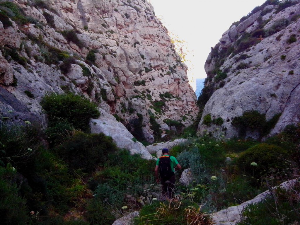
Dal posteggio attraversare la strada e reperire una scaletta metallica che porta ad un sentiero evidente, lo si segue sino ad entrare nel vallone, Diamond Buttress è il primo a sinistra (senso di marcia) di ben 5 settori ove si può arrampicare.
Falesia stupenda (anche questa "sotto il piano stradale"...!) Troverete un calcare di eccezionale qualità e vie per tutti i gusti. La chiodatura è meno "tranquillizzante" rispetto ad altri settori, tra un fix e l'altro… gulliver.it ↗
Other routes
1 route · W
Babu seaside Lupo Alberto, Rosa di Malta, Tridentina4 (obl. 5b) · 70 m · W Si tratta di tre itinerari: Lupo alberto,la prima da sinistra guardando la parete, L1 4+ alcuni fix, 30mt, L2, 3+, qualche nut, friend medio-piccolo e fettucce per proteggersi, L3 5b, fix, 25 mt. Rosa di Malta, L1,4+… gulliver.it ↗
We use GPS information embedded into the photo when it is available.
3D mountains overlay
Adjust mountain panorama to perfectly match your photos because recorded by camera photo position might be imprecise.
Move tool
Rotate tool
Zoom
More customization
Choose which peak labels should make into the final photo and what photo title should be.
Next
Photo Location
Coordinates work here too — paste them as 69.72728, 20.61890 and press Enter
Satellitte
Flat map
Relief map
Latitude
Longitude
Altitude
OR
Latitude
°'''
Longitude
°'''
Apply
Register Peak
Peak Name
Latitude
Longitude
Altitude
Register
Teleport
PeakVisor
This 3D model of Sagarmatha National Park in Nepal was made using the PeakVisor app topographic data. The mobile app features higher precision models worldwide, more topographic details, and works offline. Download PeakVisor maps today.
Download OBJ model
PeakVisor
The download should start shortly. If you find it useful please consider supporting the PeakVisor app.
PeakVisor for iOS and Android
Be a superhero of outdoor navigation with state-of-the-art 3D maps and mountain identification in the palm of your hand!



