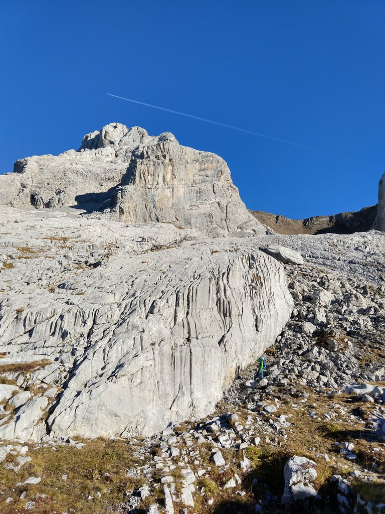
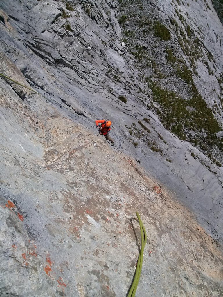
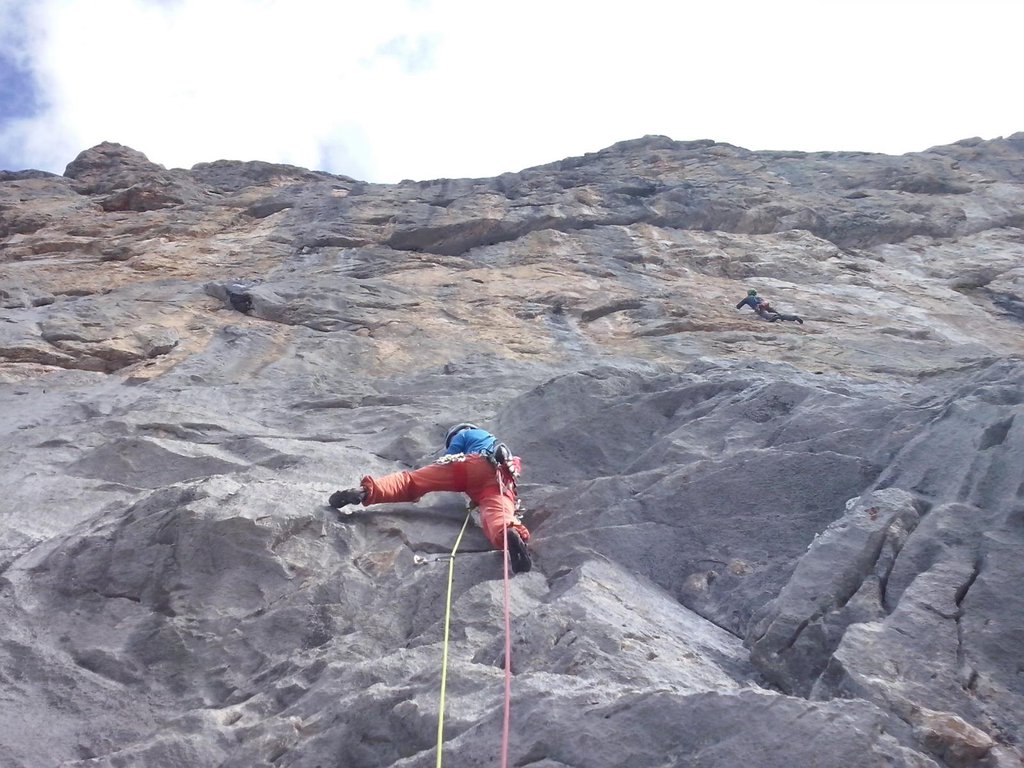
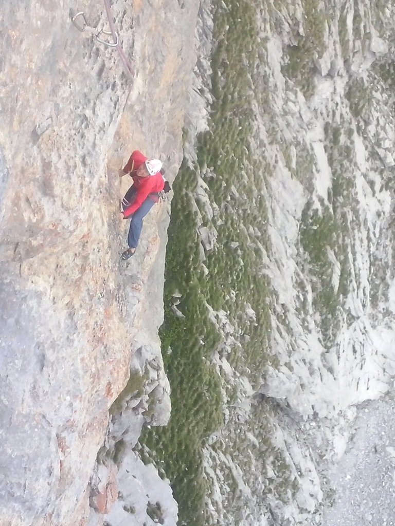
Rock climbing at Accès à la Voie "Ombre Chinoise", Paroi de Gramusset, Acces à Ombre Chinoise in Auvergne-Rhône-Alpes, France — 6 routes, 4 sectors, grades French 6a+–7b+. Grades, topo links and photos on the PeakVisor hiking map.
Show more
Climbing
6 routes6a+–7b+ Fr4 sectorsW
Paroi de Gramusset
6 routes · 6a+–7b+ Fr · SW–W
L’Ombre Chinoise6a+ (obl. 5c) · 180 m · SW da Chamonix prendere l’Autoroute Blanche uscendo all’uscita 16 di St. Pierre en Faucigny. Seguire indicazioni per Petit Bornand e Grand Bornand. Di qui ultima tappa fino al Col des Annes, dove termina la strada e si… gulliver.it ↗
Le Partage du Monde6c+ (obl. 6b) · 190 m · W Calcare ottimo sulle prime quattro lunghezza,nell'ultima sono presenti blocchi non molto stabili prestare molta attenzione soprattutto in discesa. Suggerisco di non fare una calata unica (R5+R4) altissime probabilità… gulliver.it ↗
Quelque Chose de Buenos Aires7b+ (obl. 6c) · a0 · 200 m · W La via è la seconda a destra della famosa Zauberberg (che supera un caratteristico tetto aggirandolo). Roccia perfetta, un calcare tra i più belli da scalare. Materiale: la via è spittata, portare 10 rinvii. In auto: da… gulliver.it ↗
Sorry Angel7a+ (obl. 6b+) · a0 · 150 m · W Calcare della miglior specie. Via la cui omogeneità viene spezzata da una evidente ed incantevole fessura strapiombante, per salire la quale occorrono 12 rinvii. da Chamonix prendere l’Autoroute Blanche uscendo… gulliver.it ↗
L’Inconnu de Toscane6c+ (obl. 6b+) · 140 m · W Il primo tiro della via è decisamente ostico, anche a caldo. Doppie lungo la via Cachotterie da Chamonix prendere l’Autoroute Blanche uscendo all’uscita 16 di St. Pierre en Faucigny. Seguire indicazioni per Petit… gulliver.it ↗
Zauberberg7a (obl. 6b+) · 180 m · W Soli cinque tiri su calcare verticale di primissima qualità, perfettamente attrezzati. Via considerata come la più bella della parete di Gramusset. Materiale: 2 corde da 50 m, 12 rinvii, casco. In auto: da Chamonix… gulliver.it ↗
We use GPS information embedded into the photo when it is available.
3D mountains overlay
Adjust mountain panorama to perfectly match your photos because recorded by camera photo position might be imprecise.
Move tool
Rotate tool
Zoom
More customization
Choose which peak labels should make into the final photo and what photo title should be.
Next
Photo Location
Coordinates work here too — paste them as 69.72728, 20.61890 and press Enter
Satellitte
Flat map
Relief map
Latitude
Longitude
Altitude
OR
Latitude
°'''
Longitude
°'''
Apply
Register Peak
Peak Name
Latitude
Longitude
Altitude
Register
Teleport
PeakVisor
This 3D model of Sagarmatha National Park in Nepal was made using the PeakVisor app topographic data. The mobile app features higher precision models worldwide, more topographic details, and works offline. Download PeakVisor maps today.
Download OBJ model
PeakVisor
The download should start shortly. If you find it useful please consider supporting the PeakVisor app.
PeakVisor for iOS and Android
Be a superhero of outdoor navigation with state-of-the-art 3D maps and mountain identification in the palm of your hand!