Get PeakVisor App
Sign In
Search by GPS coordinates
- Latitude
- ° ' ''
- Longitude
- ° ' ''
- Units of Length

Yes
Cancel
❤ Wishlist ×
Choose
Delete
The Tatra Mountains are an expansive mountain range between Slovakia and Poland. These peaks mark the highest subrange of the more extensive Carpathian Mountains range. The range's main feature is Tatra National Park, a transboundary park and UNESCO biosphere reserve. There are 454 named peaks; the highest and most prominent is Gerlachovský štít (2,654 m / 8,707 ft), located in the High Tatras subrange.
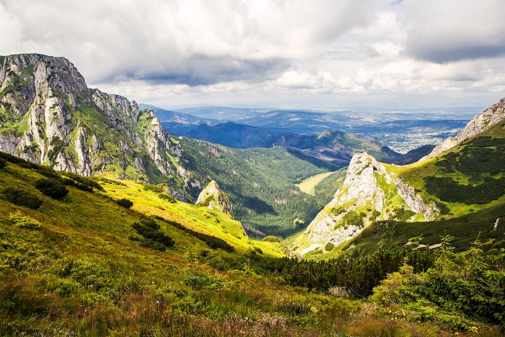
The Tatra Mountains are a significant mountain range and form a natural border between Slovakia and Poland. The range spans 785 sq km (303 sq miles), with most peaks in Slovakia. The Tatra Mountains are distinctly different from the Low Tatras, further South in Slovakia.
The Tatras are roughly 57 km (35 miles) in length and span between 14 to 24 km (9 to 15 miles) in width. Within the Tatra Mountains lie the Western Tatras and Eastern Tatras. Breaking the range down further, the Eastern Tatras consist of the Belianske Tatras and the High Tatras.
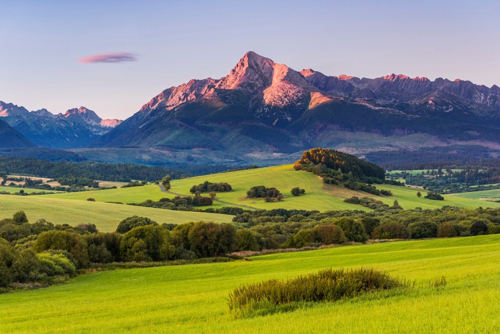
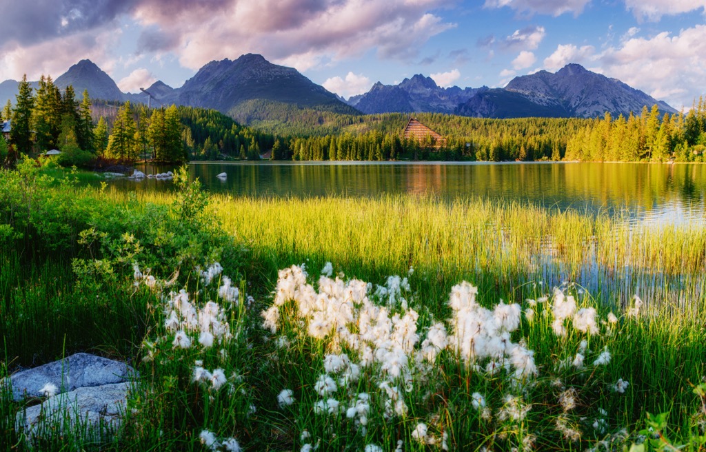
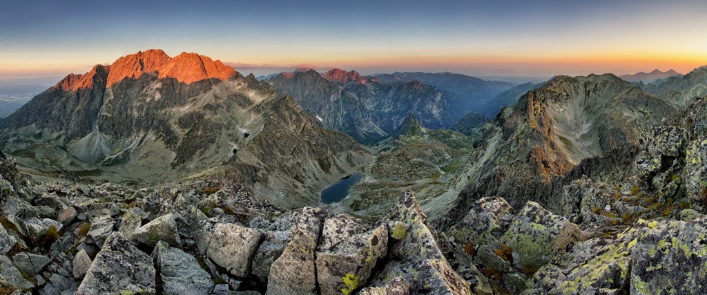
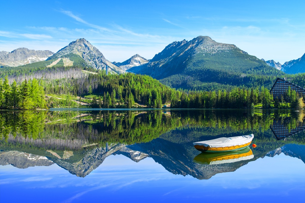
Lower elevations are forested, giving way to alpine terrain as elevation increases. The highest peaks are full of rugged ridgelines and snow-capped summits. Among the range's most prominent features is the plethora of alpine lakes; over 100 lakes are dispersed throughout the rugged topography.
Major rivers in the Tatra Mountains are the Váh, which flows into the Black Sea, and the Poprad River, which drains into the Baltic Sea. Over 300 known caves exist within the range, but only the Belianska Cave (Slovak: Belianska jaskyňa) is open to the public.
The Tatra Mountains are home to both Tatra National Park in Slovakia and Tatra National Park in Poland.
The Tatra Mountains form a natural border between Slovakia and Poland, marking a subrange of the larger Carpathian Mountains. The Carpathians also span the Czech Republic, Romania, Serbia, Hungary, Austria, and Ukraine.
The Alpine Orogeny formed peaks in this region beginning about 65 million years ago and continuing for tens of millions of years. The formation began as the African and Eurasian tectonic plates collided, and immense pressure uplifted the peaks.
The Alpine Orogeny formed other major ranges, including the Alps, Pyrenees, and the Himalayas. Like other European ranges, bedrock in the Tatras dates back between 250-100 million years ago, long before the beginning of the Alpine Orogeny.
Sedimentary, metamorphic, and igneous rocks compose the Tatras. The range's core is primarily granite, while large dolomite, sandstone, and limestone patches exist in the Western Tatras and the Belianske Tatras.
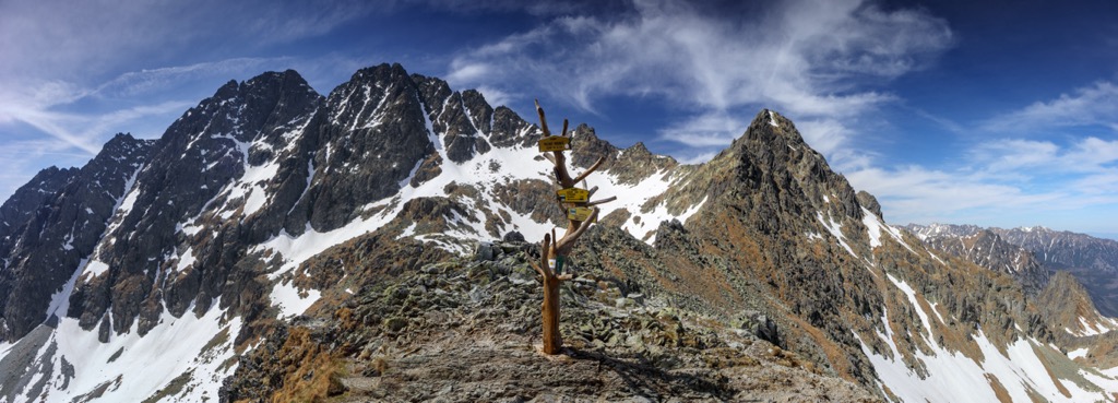
Amidst the Tatras are sweeping valleys and glacial cirques formed by past widespread glaciation. Glaciers in this region formed 1.5 million years ago and carved out the landscape as they advanced and retreated. No glaciers remain in the Tatra Mountains.
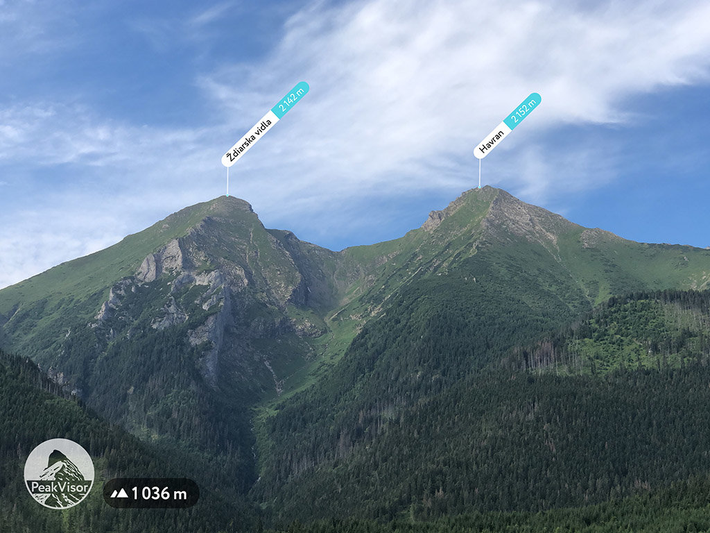
Major peaks in the range include Gerlachovský štít, Bystrá, Lomnický štít, Havran, and Kriváň.
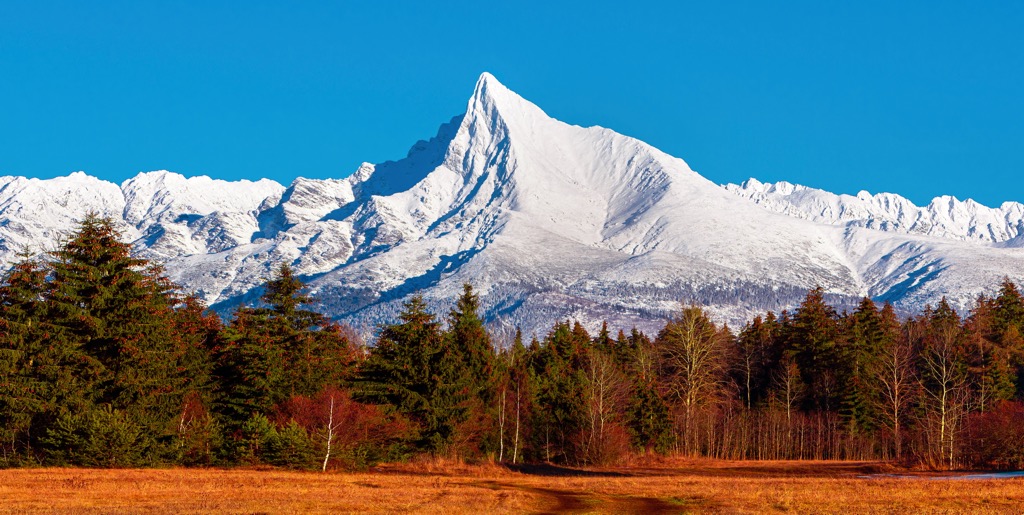
The Tatra Mountains mark some of the region's only proper alpine terrain, and various flora and fauna exist throughout the park’s ecological zones.
The densely forested foothills of the range are in the lower montane zone classification. Here the terrain is populated by fir, spruce, beech, and larch trees. As elevation increases, the forest cover transitions to a higher montane zone where spruce trees thrive.
As the treeline approaches, the forests thin into the mountain pines zone, followed by sweeping alpine meadows and wildflowers. The highest peaks are primarily free of flora except for lichen.
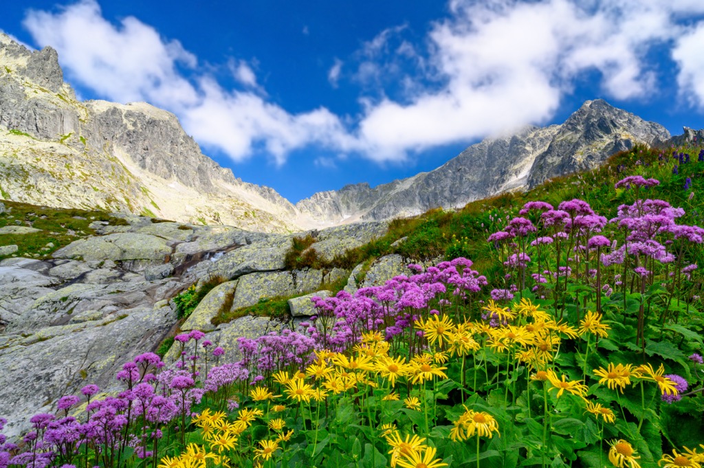
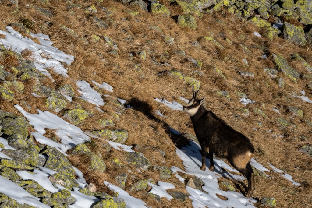
The national parks in both Slovakia and Poland help protect the region's fauna. The endemic Tatra chamois lives within the range and is currently critically endangered. Other mammals include the red deer, roe deer, wild boar, brown bear, Eurasian lynx, marmot, and snow vole. Waterways support populations of alpine bullhead and brown trout.
Humans have inhabited the land surrounding the Tatra Mountains for tens (or hundreds) of thousands of years. Stone tools found in western Slovakia date back to the Middle Paleolithic era (200,000-80,000 BCE).
Present-day Slovakia cultivated different cultures during the Bronze Age. The Lusatian culture thrived in the region as the Čakany and Velatice cultures began to disappear and centered around agriculture, trade, and the production of copper.
During the rule of the Roman Empire, the land surrounding the Tatra Mountains was home to various Roman outposts. The Huns invaded and later occupied this land from the fourth to the sixth century.
Slavic tribes settled in present-day Slovakia during the fifth century. During the seventh century, this region became the base of the Samo empire. In the eighth century, the further evolution resulted in a Slavic state known as the Principality of Nitra. This principality and Moravia marked the core of the Great Moravian Empire.
The Kingdom of Hungary ruled this region following the fall of the Great Moravian Empire, but the Hungarian state consolidated after centuries of internal struggles. The first universities arose in present-day Slovakia and Poland during the fourteenth and fifteenth centuries.
Land borders became challenging to define after the fall of the First Polish Republic. Land disputes continued for over a century, with disputes becoming reignited after the First World War. Poland and Slovakia agreed upon a border in 1925 with a treaty that the League of Nations facilitated. Another treaty passed in 1958 reinforced this border.
In 1949, Slovakia established Tatra National Park, marking the first national park in the country. The country’s primary goal of the park was to help protect the natural beauty and biodiversity of the Tatra Mountains.
Poland established Tatra National Park in 1954 to help protect their portion of the Tatra Mountains. The two parks became a UNESCO Biosphere Reserve in 1992.
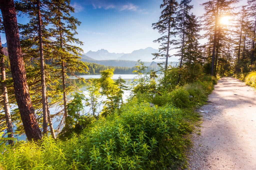
The Tatra Mountains are home to hundreds of kilometers of hiking trails that showcase the stunning mountain landscape. Here are some of the most popular trails in the park:
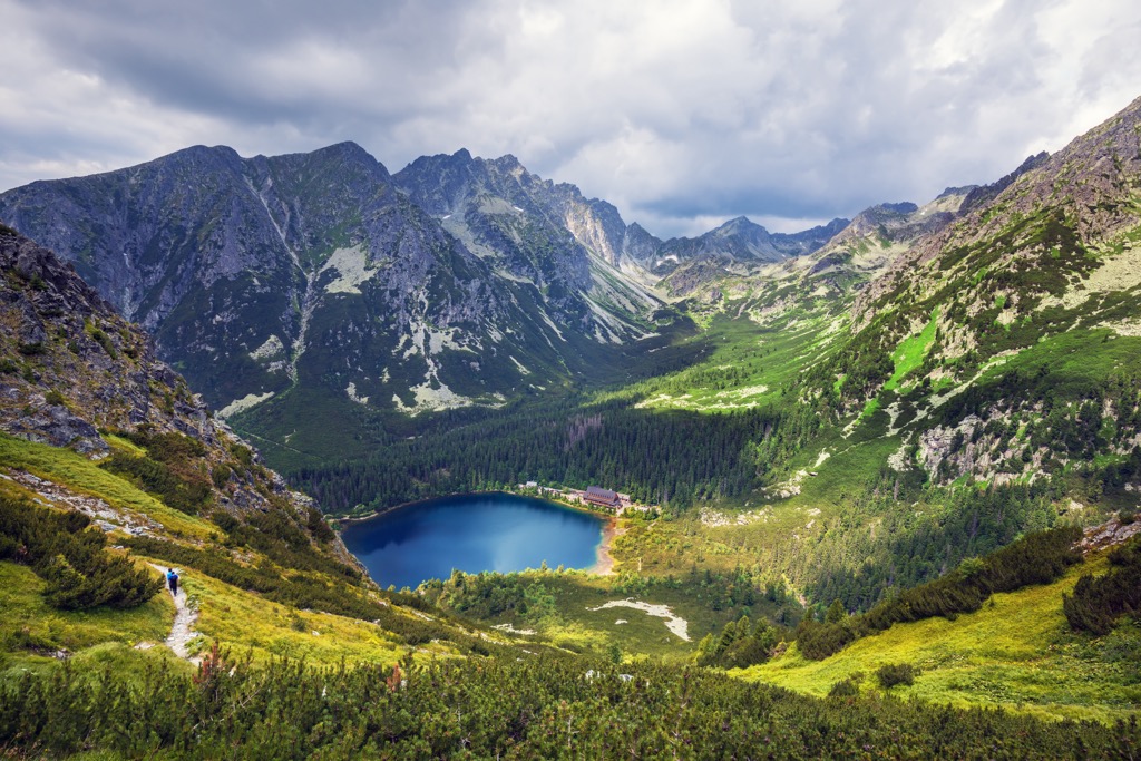
This route begins by climbing through the pine forest. Hikers have views of sweeping vistas, valleys, and mountains throughout. Popular viewpoints include Ostrva Mountain and Solisko Mountain Ridge.
The trail then descends to Popradské Lake. Along the shore of the lake lies the Majláthova Mountain hut, which offers refreshments for hikers. Round trip, the route is 9.6 km (6 miles) and features 335 m (1,099 feet) of elevation gain.
This hike offers views above the treeline and takes hikers to the summit of Rysy, which sits along the border between Slovakia and Poland. Most of this route is in alpine terrain, surrounded by shrubs and mountain streams.
The trail climbs gradually at the start before following along a ridgeline up to the summit. Hikers should wear sturdy footwear as some scrambling is required to reach the main viewpoint. This out-and-back trail is 10 km (6.3 miles) long and features 855 m (2,805 feet) of elevation gain.
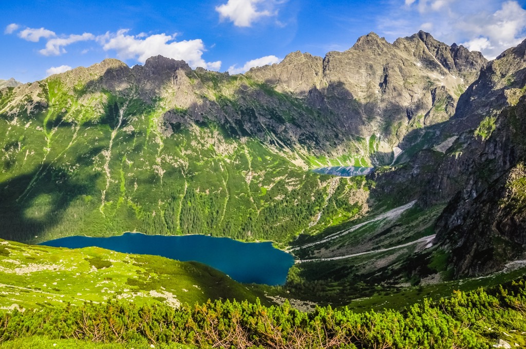
This hiking route lies in the eastern stretches of the range. Hikers climb gradually throughout, passing through various landscapes. The forest begins to thin and gives way to alpine meadows and rocky cliffs before reaching an alpine lake.
This lake is in the White Water Valley and hikers pass numerous creeks and streams along the route. The route is a 15 km (9.5 miles) round-trip with 632 m (2,073 feet) of total elevation gain.
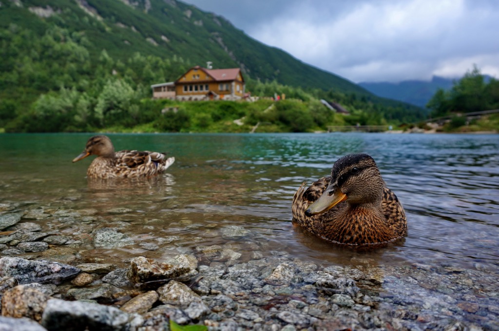
Looking for a place to stay near the Tatra Mountains? Here are some of the best towns and cities:
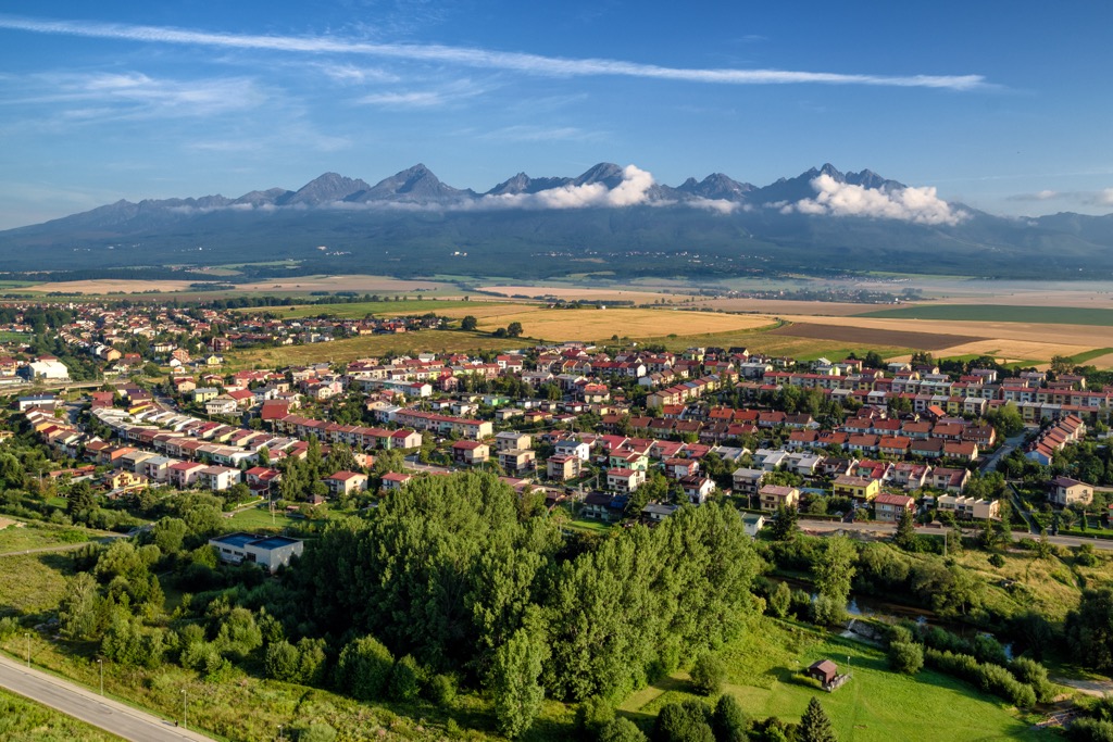
Poprad lies south of the Tatra Mountains, near the edge of Slovakia’s Tatra National Park. Poprad is a gateway into the park, situated in the foothills of the High Tatras Mountains. The city is home to around 50,000 residents, marking the tenth-largest in the country.
Besides exploring the nearby Tatra Mountains, visitors can also view the historic city center. The center includes St. Egidius Square and homes that date back to the eighteenth century, while the Catholic Church of St. Egidius dates back to the thirteenth century. Increased tourism in the region has led to the construction of the Tatra Electric Railway which connects Poprad to the nearby mountains.
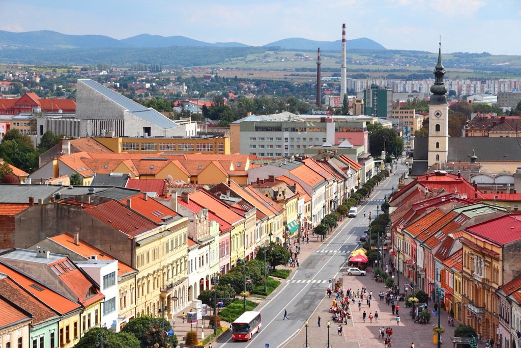
Prešov is home to 110,000 residents and marks the thirds largest city in the country. Southeast of the range, Prešov is the closest major city to the Tatra Mountains in Slovakia. The Town Monument Reserve is home to historic buildings and centers around Hlavná ulica Street.
Along with exploring the nearby Tatra Mountains, popular sites include Solivar Museum, the Slovak National Museum of Ruthenian Culture, and numerous art galleries. Prešov marks the center of the historical region of Šariš.
The city straddles the Torysa River within the Košice Basin. Various mountain ranges, hills, and protected regions surround the basin, providing visitors with ample opportunities for exploring the area's natural beauty.
Explore Tatra National Park with the PeakVisor 3D Map and identify its summits.


