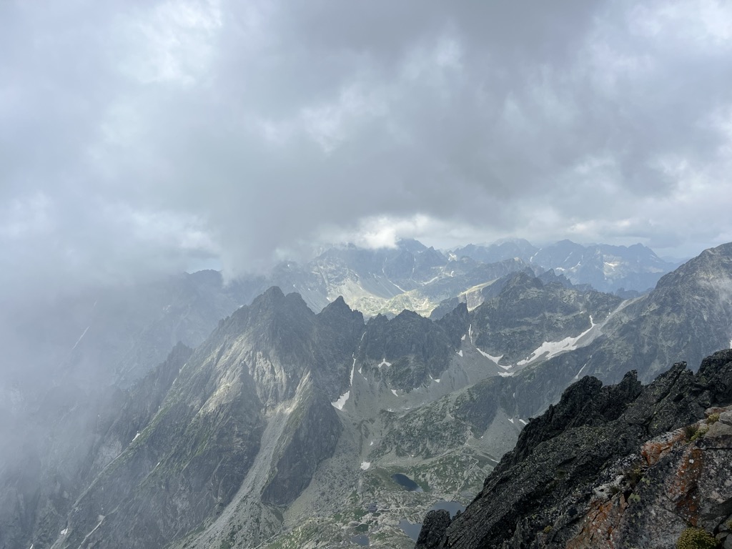
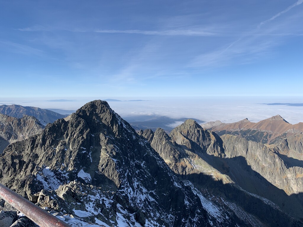
Lomnický štít (English: Lomnica Peak or Lomnický Peak, Hungarian: Lomnici-csúcs, German: Lomnitzer Spitze, Polish: Łomnica) is one of the highest and most visited mountain peaks in the High Tatras mountains of Slovakia. Connected by cable car to Tatranská Lomnica, its summit is 2,634 metres (8,642 ft) above sea level, making it the second highest peak in the High Tatras after Gerlachovský štít (2654 m).
Local shoemaker and amateur miner Jakab Fábry stated he made an ascent around 1760–1790, but the first recorded ascent was made by the English traveler Robert Townson and guide on 16 August 1793. He measured the elevation of the peak to be 2633 m, a meter below the actual elevation. The first winter ascent was made in 1891.
In the past, Lomnický štít was called as Vater (Father), Grossvater (Grandfather), Königsberg (King's Mountain), Królowa Tatr and Królowa Tatrzańska (Princess of the Tatra), Petra altissima kesmarkiensis and allerhöchster Kaisermärkerfels (Highest cliff of Kežmarok), höchste Kaisermärker Spitze (Highest peak of Kežmarok), késmárki hegyek (Hills of Kežmarok), Kesmarker Spitze or Lumnitzer Spitze (Peak of Kežmarok or Peak of Lomnica).
Since 1940, tourists have reached the peak by cable car. They are allowed to stay on the peak for 50 minutes. The cable car system is normally closed in the month of May for annual maintenance. It is also possible to climb the peak from Lomnický Saddle, but this is only permitted with a mountain guide.
There is a solar observatory and weather station permanently staffed year round at the terminus of the cable car.
We use GPS information embedded into the photo when it is available.
3D mountains overlay
Adjust mountain panorama to perfectly match your photos because recorded by camera photo position might be imprecise.
Move tool
Rotate tool
Zoom
More customization
Choose which peak labels should make into the final photo and what photo title should be.
Next
Photo Location
Satellitte
Flat map
Relief map
Latitude
Longitude
Altitude
OR
Latitude
°'''
Longitude
°'''
Apply
Register Peak
Peak Name
Latitude
Longitude
Altitude
Register
Teleport
PeakVisor
This 3D model of Sagarmatha National Park in Nepal was made using the PeakVisor app topographic data. The mobile app features higher precision models worldwide, more topographic details, and works offline. Download PeakVisor maps today.
Download OBJ model
PeakVisor
The download should start shortly. If you find it useful please consider supporting the PeakVisor app.
PeakVisor for iOS and Android
Be a superhero of outdoor navigation with state-of-the-art 3D maps and mountain identification in the palm of your hand!