Scan the QR code and open PeakVisor on your phone
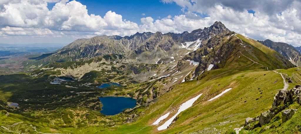
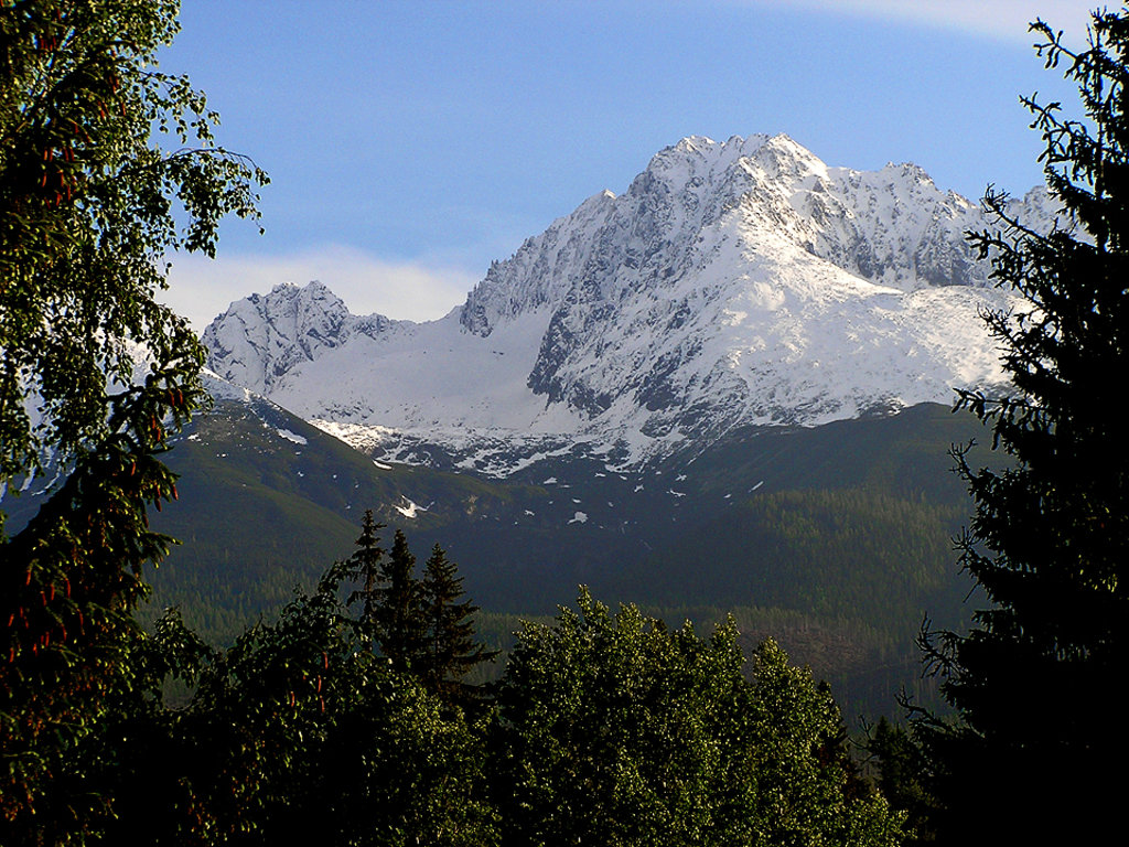
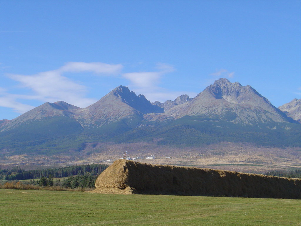
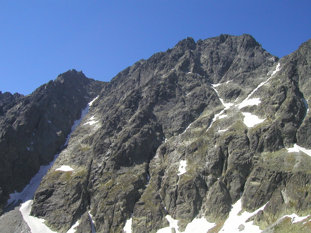
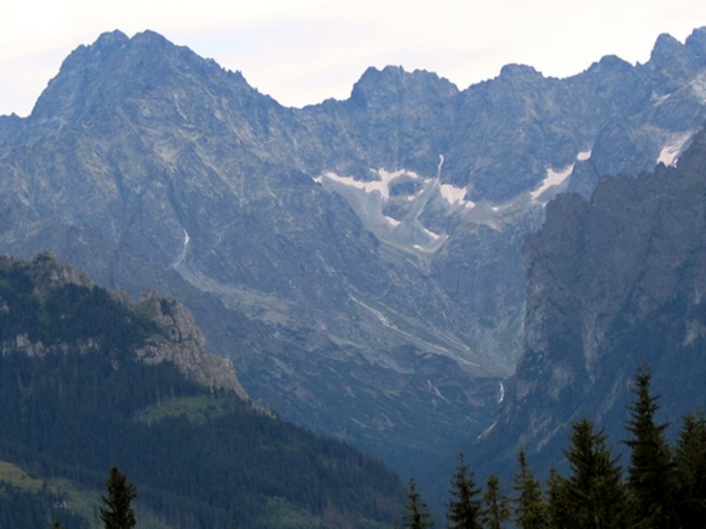
The Tatra Mountains (Tatras, Tatra) is the most extensive and highest mountain subrange of the larger Carpathian Mountains system, which is located in northern Slovakia on the border with Poland. The main feature of the range is the eponymous Tatra National Park between these two countries, which is the first transboundary park in Europe and UNESCO biosphere reserve, due to the variety of local flora and fauna, similar to the alpine. There are 785 named mountains in the Tatra Mountains. The highest and the most prominent mountain is Gerlachovský štít (2,654 m / 8,707 ft) in the High Tatras, which, in turn, is its main subrange.