Get PeakVisor App
Sign In
Search by GPS coordinates
- Latitude
- ° ' ''
- Longitude
- ° ' ''
- Units of Length

Yes
Cancel
❤ Wishlist ×
Choose
Delete
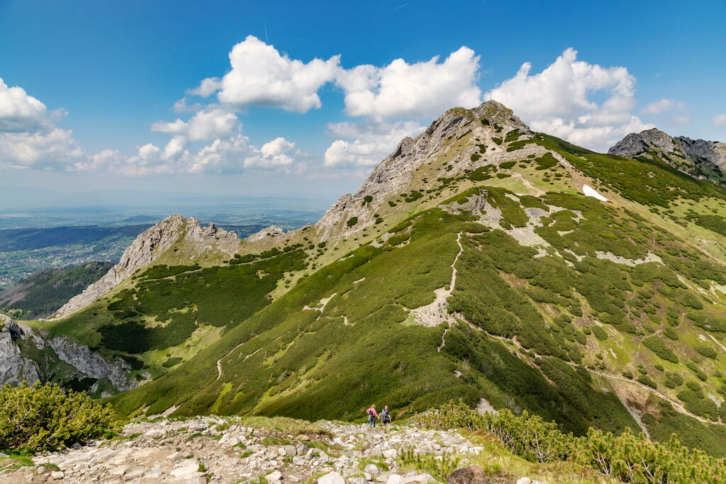
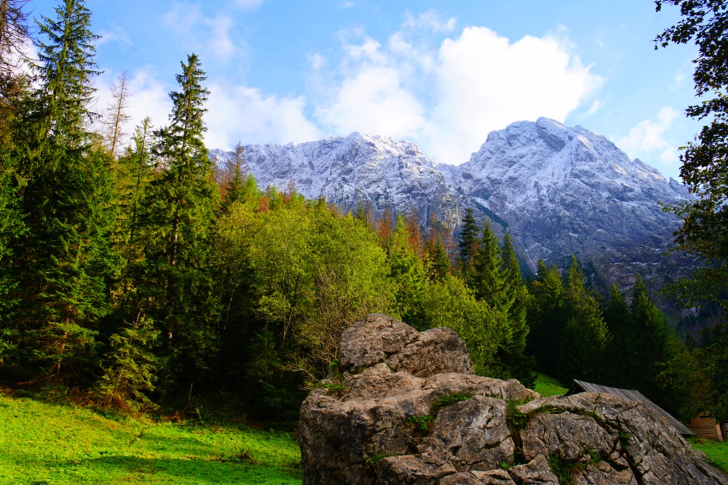
Tatra National Park is one of Poland’s most famous natural destinations, and one of the few mountainous regions in the country. The park is part of the The High Tatras (Vysoké Tatry in Slovakian and Tatry Wysokie in Polish), a steep, prominent subrange extending roughly 50 km (31 mi) along the Slovakia-Poland border. It defines the northwestern edge of the greater Carpathian Mountains and is one of the only areas of the Carpathians with true alpine ecosystems (along with the Southern Carpathians of Romania). The park's trail network spans 275 km (170 mi) and is known worldwide for its diverse plant and animal species and glacial lakes.
Tatra National Park, or Tatrzański Park Narodowy, is a protected area in the Tatra Mountains of southern Poland with headquarters in Zakopane. Established in 1954 and covering 21,164 ha (52,310 acres), Tatra National Park is well-known, encompassing the highest Polish mountains. The range showcases the most alpine character of any mountains in Europe east of the Alps.
The Tatra Mountains act as a natural boundary between Poland and Slovakia and both countries have worked together since the early twentieth century to preserve the area. Slovakia established a neighboring national park under the same name, and UNESCO later recognized the region as a transboundary biosphere reserve.
This national park covers one of Poland's two mountain ranges, the High Tatras and the Western Tatras. The landscape features sharp peaks and valleys with many rock formations. The highest peak in Poland, Rysy (2,499 m / 8,199 ft), is located here. The park stretches about 60 km (37 mi) in length and 15 to 20 km (9.3 to 12.4 mi) in width.
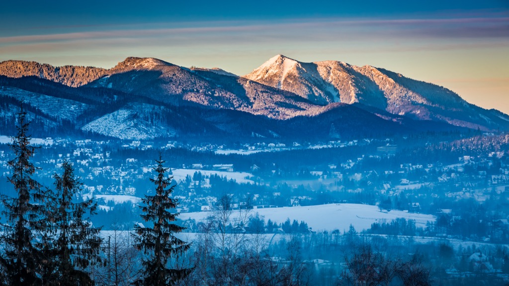
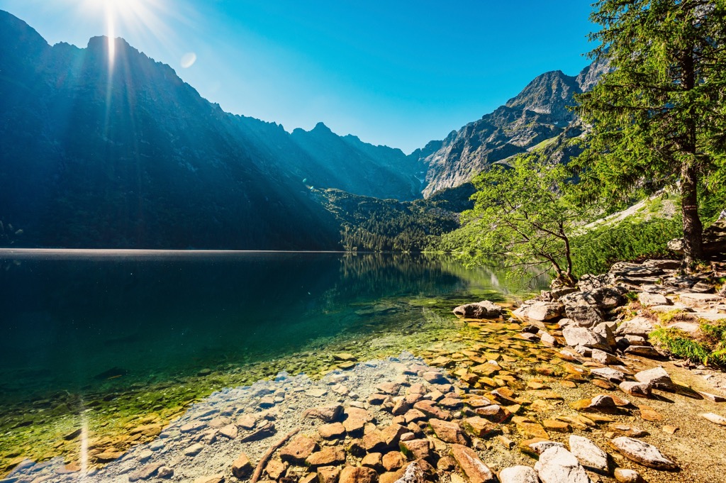
The Tatra Mountains receive more rain than the surrounding areas, while snow melts in spring and summer, providing consistent water to streams and lakes. Tatra waters are cold, well-oxygenated, and low in nutrients, with oligotrophic water dominating. There are also shallow, muddy lakes called dystrophic lakes. Streams in the park can reach up to 20 km (12 mi) in length.
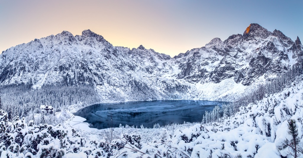
The landscape features sharp peaks, caves, and glacial lakes, with the highest peaks reaching over 2000m (6,562 ft), led by Rysy at 2499m (8,199 ft). The park's notable assets include clear glacial lakes like Morskie Oko and fast-flowing streams, with towering waterfalls like Mickiewicz Falls. Morskie Oko is the largest lake by area, although Wielki Staw is deeper, and Wielka Siklawa is the tallest waterfall at 70 m (229.7 ft). The park also boasts around 650 caves; Wielka Sniezna is the longest cave system in the park, stretching 18 km (11.2 mi).
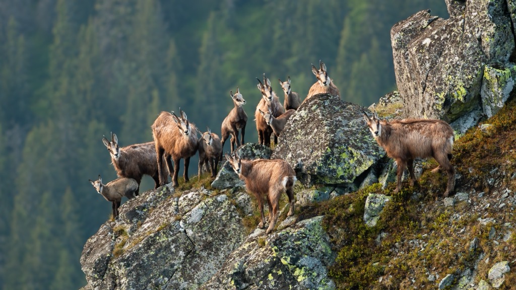
Tatra National Park is home to rare and unique wildlife species, and highly protected species include the Tatra chamois and marmot. Different forest types dominate various elevations in the park, ranging from silver fir and European beech forests at lower altitudes to European spruce forests, meadows, and grasslands at higher elevations. Alpine flora thrives at the highest points.
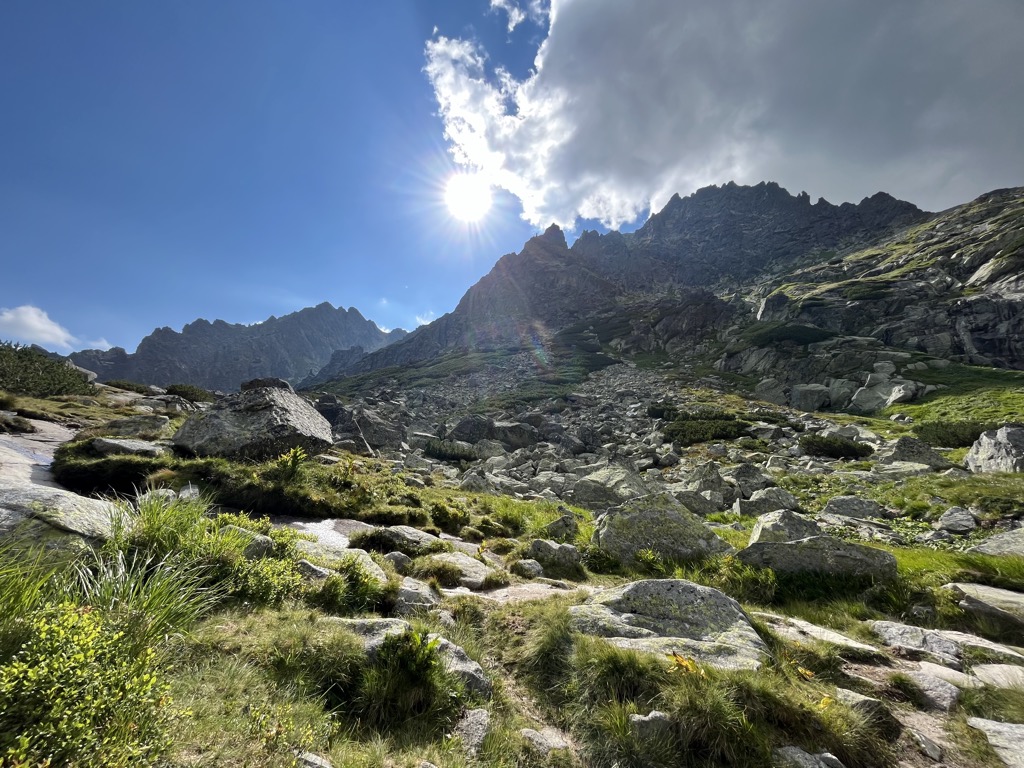
The Tatra Mountains harbor diverse animal life, including predatory mammals, insectivorous mammals, and various fish species. Large mammals like deer and smaller creatures like Tatra grouses and owls also inhabit the area. Other notable fauna species in the park include the Tatra chamois, Alpine marmot, brown bear, Eurasian lynx, gray wolf, European otter, and lesser spotted eagle. The wallcreeper is an ecologically significant bird species in the park, its northernmost breeding area in Europe.
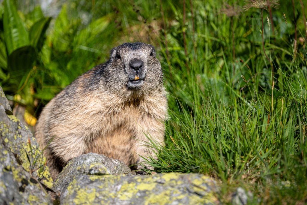
Marmots are inhabitants of the Tatra valleys, known for their distinctive whistling calls. They are common along popular hikes, and the Tatra experience will be ouncuated by the frequent shrill whistles of marmots warning each other of approaching humans.
The Tatra chamois (Rupicapra rupicapra tatrica) is a subspecies of chamois that holds symbolic significance in the region, embodying freedom and love for the mountains in the eyes of the local inhabitants.
The Tatras are historically significant in a number of ways. During World War II, they served as a passage for couriers. They are the birthplace and evolution site of mountain climbing and tourism in central Europe, with many lives lost in hiking accidents or rescue attempts. The Tatras have inspired numerous artists, including painters, poets, and photographers.
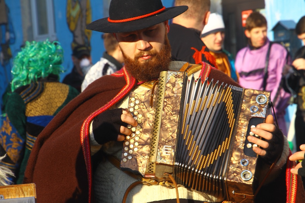
The Podhale region of the Tatras is inhabited by the Górale people, known for their unique culture, including language, music, and traditional crafts like cheesemaking and woodworking. Their heritage has been passed down largely through oral tradition.
Human activities in the past, like grazing and mining, have impacted the Tatra environment, leading to soil erosion and habitat disturbance. Tourism has significantly impacted the Tatras, with hiking being popular since the late nineteenth century. Despite the park's protection status since 1954, challenges persist, including managing visitor numbers and inadequate infrastructure. It’s one of the reasons you now need a guide for many of the classic ascents (more on that below).
The journey towards protecting the Tatras began in the late nineteenth century, culminating in the establishment of Tatra National Park in 1954. In 1992, UNESCO and the Slovakian National Park designated it a transboundary biosphere reserve.
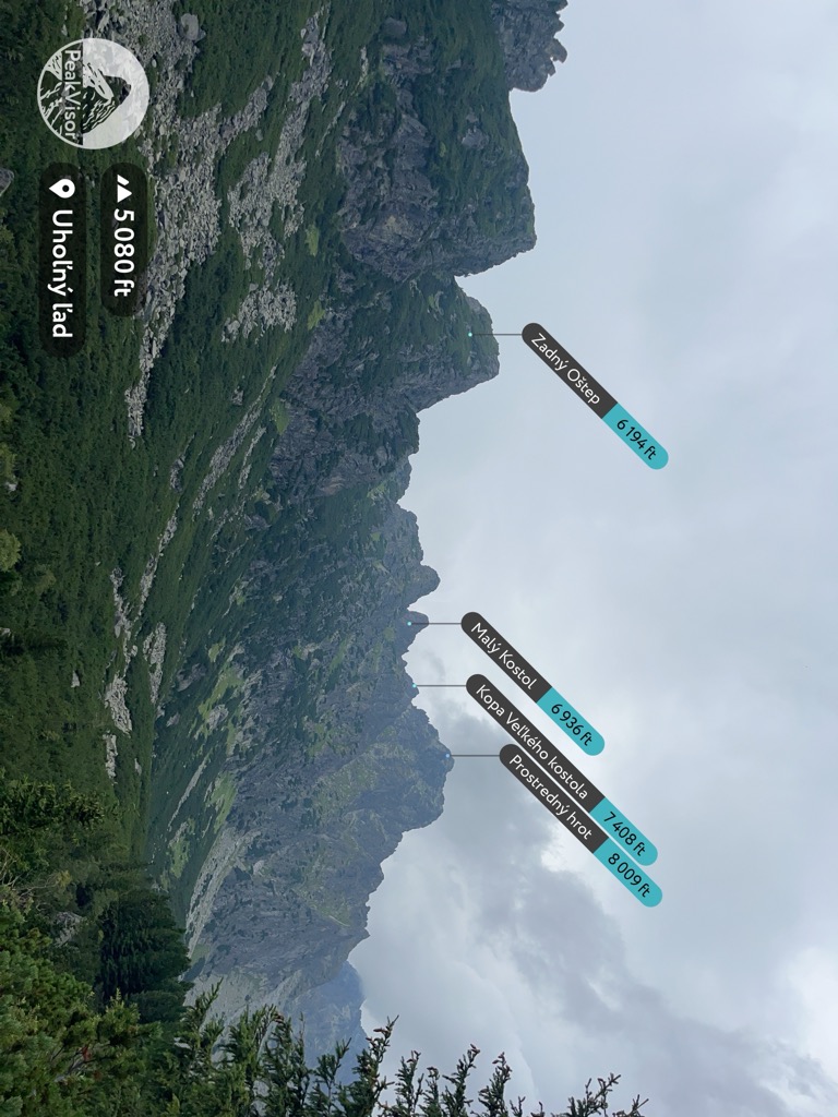
Because the national park is protected for conservation, there are regulations on where you can be, what you can do, and when you can do it.
Most high peaks are illegal to climb unless you are a UIAA member accompanied by a registered guide. This includes Gerlachovšky Štit and Lomnicky Štit, even though the upper elevations of Lomnicky Štit are accessible by gondola. Hiking off-trail is also illegal unless accompanied by a guide.
The peaks you can hike without a guide are Kriváň, Predne Solisko (2,117 m / 6,946 ft), Kôprovsky Štit (2,367 m / 7,766 ft), Rysy, Východná Vysoká (2,429 m / 7,969 ft), Slavkovský Štít (2,452 m / 8,045 ft, Veľká Svišťovka (2,038 m / 6,686 ft), Jahňací štít (2,230 m / 7,316 ft) in Slovakia, and Kozi Wierch (2,291 m / 7,516 ft), Świnica (2,301 m / 7,549 ft), and Szpiglasowy Wierch (2,178 m / 7,146 ft) in Poland.
Another limitation is crossing the Slovakia/Poland border. There are several trails over the ridgeline of the Tatras, but the only route where hikers can cross the international border is over the summit of Rysy (2,503 m / 8,212 ft).
Additionally, you cannot camp or start fires anywhere in the park. There are huts along most major canyons and popular hikes where mountaineers can stay the night. This is the only overnight option for through-hiking. Luckily, the huts are incredibly comfortable, cheap, and have food and drink on-site.
Lastly, Tatra National Park peaks must be climbed between June 15 and November 1. In the winter, mountaineers are required to be accompanied by guides.
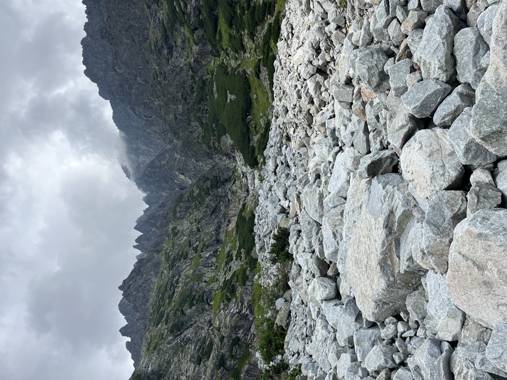
Rysy is the highest peak in the park and in Poland, soaring to 2,499 m (8,199 ft). It comprises three distinct peaks. The central summit marks the highest point, with the northwestern peak closely behind and the southeastern peak last.
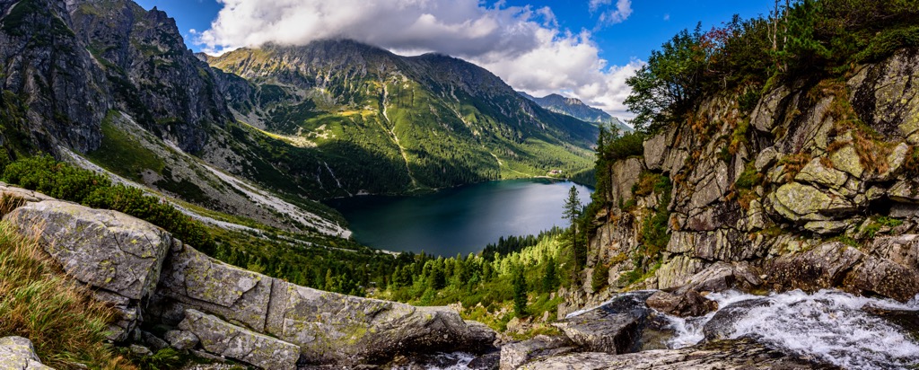
Liying on the border between Poland and Slovakia, Rysy's northwestern peak lies within the Polish territory, forming part of the prestigious Crown of Polish Mountains. Meanwhile, the other two peaks extend into Slovakia. On the northern side of the Rysy mountain, nestled within the Polish territory, lies the enchanting glacial lake known as Morskie Oko, affectionately referred to as the "eye of the sea."
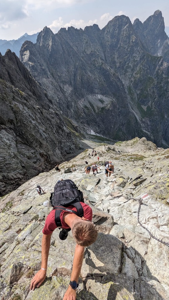
From the lake to the summit of Rysy is a difference of 1,104 m (3,622m), more than half of the total vertical on the route.
There are permanent handlines (chains) for safety on the steep, rocky scramble. The exposure on the final push to the summit is exhilarating. The ridgeline extending west is a jagged knife ridge with cliffs on both sides.
The summit of Rysy is a challenging trek that is certainly not suitable for everybody. However, the hike up to the Morskie Oko lake below the summit is the perfect adventure for families.
Planning a trip to Morskie Oko in advance is highly recommended, especially during peak seasons like summer holidays and weekends with good weather, as it tends to be very popular. Try to visit Morskie Oko during off-peak hours or on weekdays when the crowds are smaller.
Despite the paved trail, the nine-kilometer (5.5 miles) uphill trek can be tiring, though it's considered easy and suitable for all fitness levels.
Horse-drawn buggies are available for those unable or unwilling to walk, though they don't go directly to the lake. A short walk is required to reach Morskie Oko. While the hike typically takes around two hours, faster hikers can reach the lake in less than 1.5 hours with minimal breaks.
Another great hike for families is the Wielki Giewont trail in Zakopane. The hike begins at a park and follows a forest path alongside a stream. It ascends gently to Wielka Polana meadow, then turns left into the forest toward Przełęcz saddle. The narrow ridge provides panoramic views of the surrounding valleys and Tatra peaks. Passing through Polana Kalatówki, the trail ends in Kuźnice. The trail spans 8 miles (12.9 km).
The High Tatras draw just as many winter visitors as in the summer. The mountains are full of small ski fields, and while they don’t stack up to the Alps resorts, they’re very popular with locals.
The ski season in the Tatras generally lasts from December until April. The mountains are relatively low (base depth rarely exceeds 100cm), so bases are often supplemented with artificial snow. Ski fields here are commonly just that: a single piste serviced by a lift. In some cases (like Kasprowy Wierch), it’s possible to ski off-piste, but most of the resorts are geared toward beginners.
Don't get your hopes up if you’re looking for tree skiing, big cliffs, or deep powder. Skiing in the High Tatras is more about enjoying the scenery, which is fantastic. These are a few larger and more popular ski resorts around the High Tatras.
On the Polish side of the High Tatras, Kasprowy Wierch is the best ski area by far. It’s the highest lift-accessible area in Poland, topping out at the summit of Kasprowy Wierch (1,987 m/6,519 ft). The whole ski area encompasses considerable expert terrain, including off-piste skiing in dramatic open bowls. However, many areas are often closed for avalanche danger. Kasprowy Wierch is the only ski area in the High Tatras intended for experts, with sprawling terrain and a surprising amount of vertical. Day passes here are slightly cheaper, too, around 179 PLN (40€).
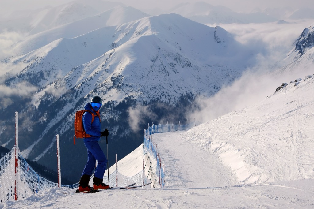
Outside the resorts, vast expanses of backcountry terrain are only accessible to ski mountaineers. There are a lot of impressive routes and objectives here, like the High Tatras Haute Route, which summits Gerlachovsky Štit. But you’ll need a registered guide (and several days) to take on anything of this size.
The mountain town of Zakopane sits on the northern flanks of the Tatras. It’s the most common starting point for the Rysy through-hike and the biggest mountain destination in Poland. With a population of around 30,000, Zakopane is a fairly large town and it serves as the winter capital of Poland. You can easily reach Zakopane from Krakow by bus.
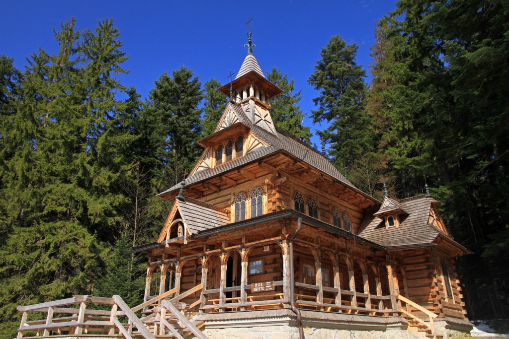
The town is known for its traditional wooden architecture, although its largely comprised of modern-style apartment buildings at this point.
There are accommodations of all kinds here, from budget hostels to luxury hotels. There are also some private campgrounds in the area. You can take a bus from the town to many of the major trailheads, including the Morskie Oko/Rysy summit hike.
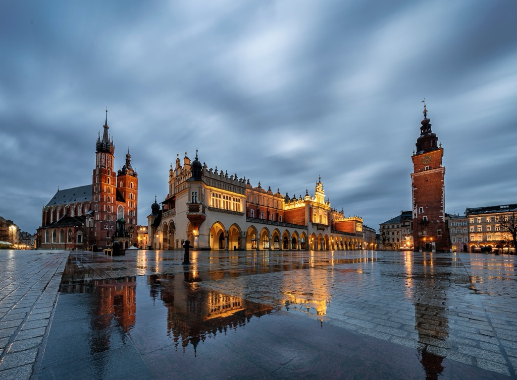
Krakow, one of Poland's oldest and most culturally significant cities, is located in the southern part of the country. Home to approximately 770,000 residents, it boasts a rich history dating back over a thousand years. It is known for its well-preserved medieval core, including the UNESCO-listed Krakow Old Town and the Wawel Royal Castle.
Explore Tatra National Park Poland with the PeakVisor 3D Map and identify its summits.

