
Scan the QR code and open PeakVisor on your phone
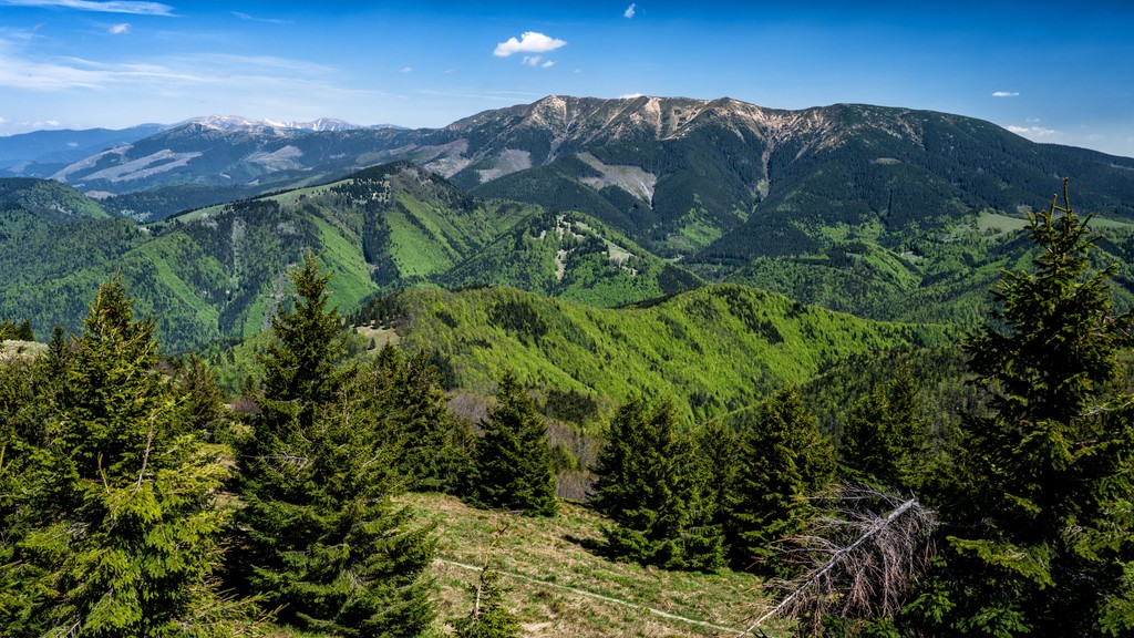
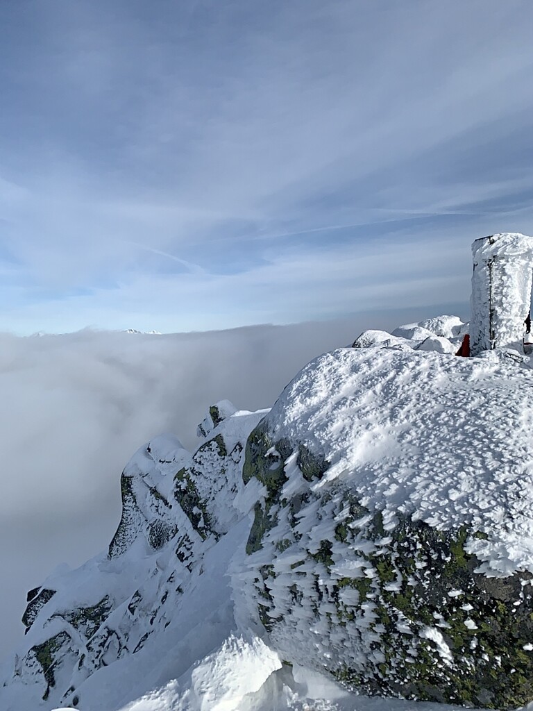
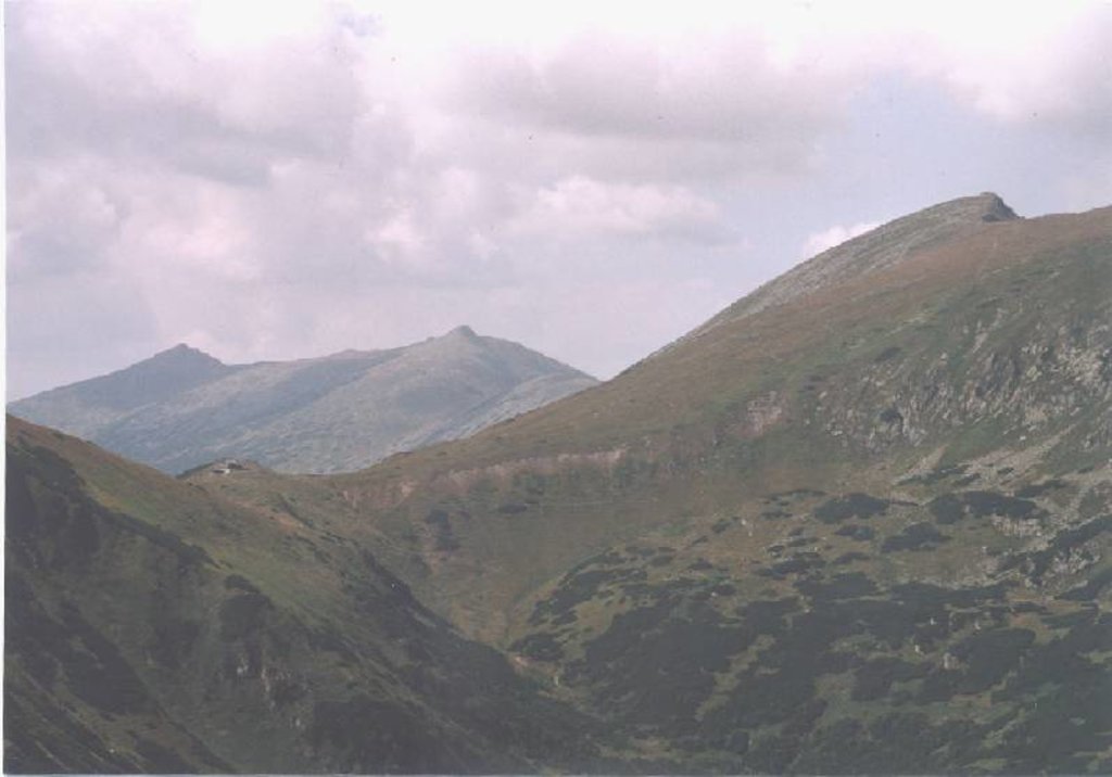
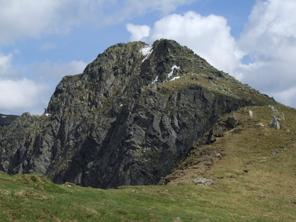
The Low Tatras include 319 named peaks. The highest is Ďumbier at 2,043 m. Other notable peaks include Štiavnica, Chopok and Dereše.
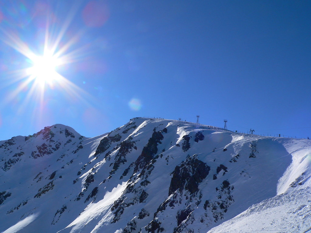
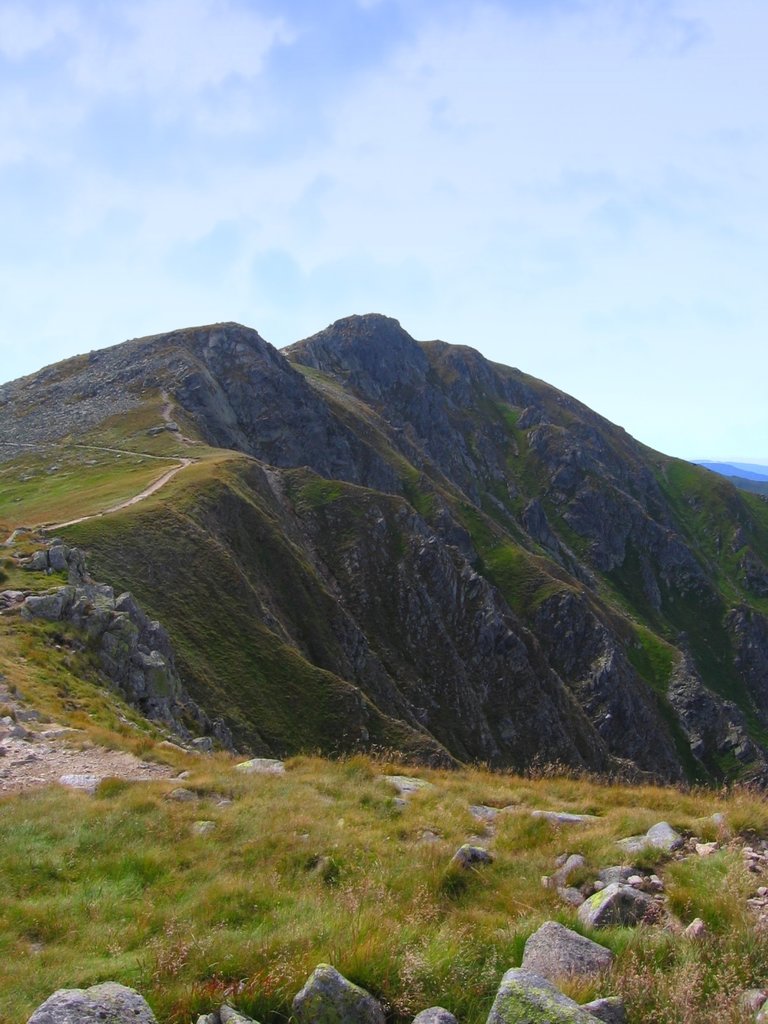
The Low Tatras or Low Tatra is a mountain range located in the center of Slovakia in Eastern Europe. It is the second most popular hiking area in the country after the neighboring High Tatras of the Tatras Mountains in the Carpathian Mountains system, but, importantly, is not part of them, it should be considered separately. The main feature of the range is a large number of karst caves in limestone and dolomite areas, namely: Bystrianska Cave (Bystrianska jaskyňa), Demänovská Cave of Liberty (Demänovská jaskyňa slobody), Demänovská Ice Cave (Demänovská ľadová jaskyňa), and others, which are all open to the public. The range is also a protected area of the same name, the Low Tatras National Park. There are 319 named mountains in Low Tatras. The highest and most prominent mountain is Ďumbier (2,043 m / 6,702 ft).

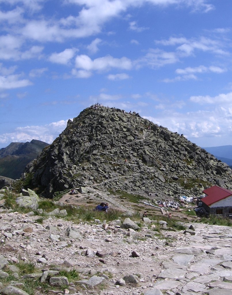
The highest peak in the Low Tatras is Ďumbier, at 2,043 m.
The Low Tatras have 319 named peaks.


