Scan the QR code and open PeakVisor on your phone
The Mount Livingstone Natural Area is a protected area located in the southern part of Alberta, Canada in the Municipal District of Ranchland. The area covers 564 ha (1,393 acres) of land and has 2 named peaks, the tallest and most prominent of which is Mount Livingstone with 2,422 m (7,946 ft) of elevation and 394 m (1,293 ft) of prominence.
The Mount Livingstone Natural Area is located in southwest Alberta, Canada, in the Municipal District of Ranchland. It has two named peaks, Mount Livingstone and Saddle Mountain. Mount Livingstone has 2,422 m (7,946 ft) of elevation and 394 m (1,293 ft) of prominence, while Saddle Mountain is 2,240 m (7,349 ft) tall and has 136 m (446 ft) of prominence.
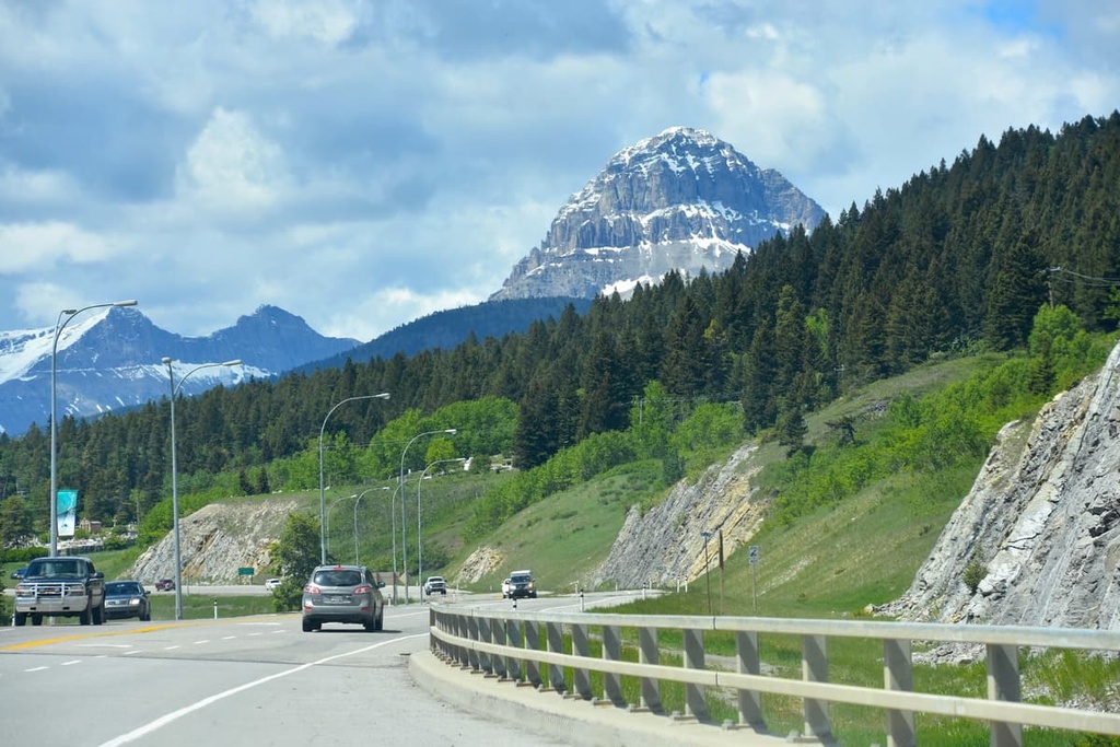
The park is accessible from Highway 40 (the Kananaskis Trail). It is located near many other parks and protected areas. Some of nearby parks and protected areas include:

The Livingstone Natural Area is situated along the eastern edge of the Rocky Mountains in the Livingstone Range.
The geologic history of the Rocky Mountains and the Livingstone Range began about 380 million years ago as what is now North America drifted away from the supercontinent of Pangea. For millions of years, marine sediments from cyanobacteria were deposited in thick layers along the coastal margin of the continent.
About 180 million years ago, significant tectonic collisions began occurring along the western coast at which time the Farallon plate began subducting beneath the North American plate.
The collision and subduction of the plate first added land to the western coast. In fact, it added so much land that nearly the entire province of British Columbia is composed of terranes accreted from ancient volcanic islands during this period.
As a result of this tectonic collision, a number of mountain ranges formed. The first mountain range to form in the region was the Columbia Mountains, which was followed shortly afterward by the Coast Mountains.
Later, the Insular Mountains, including the Vancouver Island Ranges, formed during the Sevier orogeny. Finally, about 75 million years ago, the Rockies formed during the Laramide orogeny.
During this time, layers of marine sediment located along the ancient coastal margin were squeezed, heated, deformed, and ultimately thrust up to form the Rocky Mountains. Meanwhile, layers of Paleozoic limestone and dolomite were lifted and stacked upon Cretaceous surface layers.
The formation of the Canadian Rockies started in the southwest, slowly pushing and stacking layers of rock towards the northeast. In total, about 400 km (240 mi) of the coastal margin was compressed to form the 200 km (120 mi) wide Rocky Mountains.
Mount Livingstone Natural Area and the Livingstone Range are part of the eastern ranges and are often referred to as part of the Front Ranges of the Rockies. The mountains typically consist of limestones and dolomites, while the valleys are made of Cretaceous sandstones and shales.
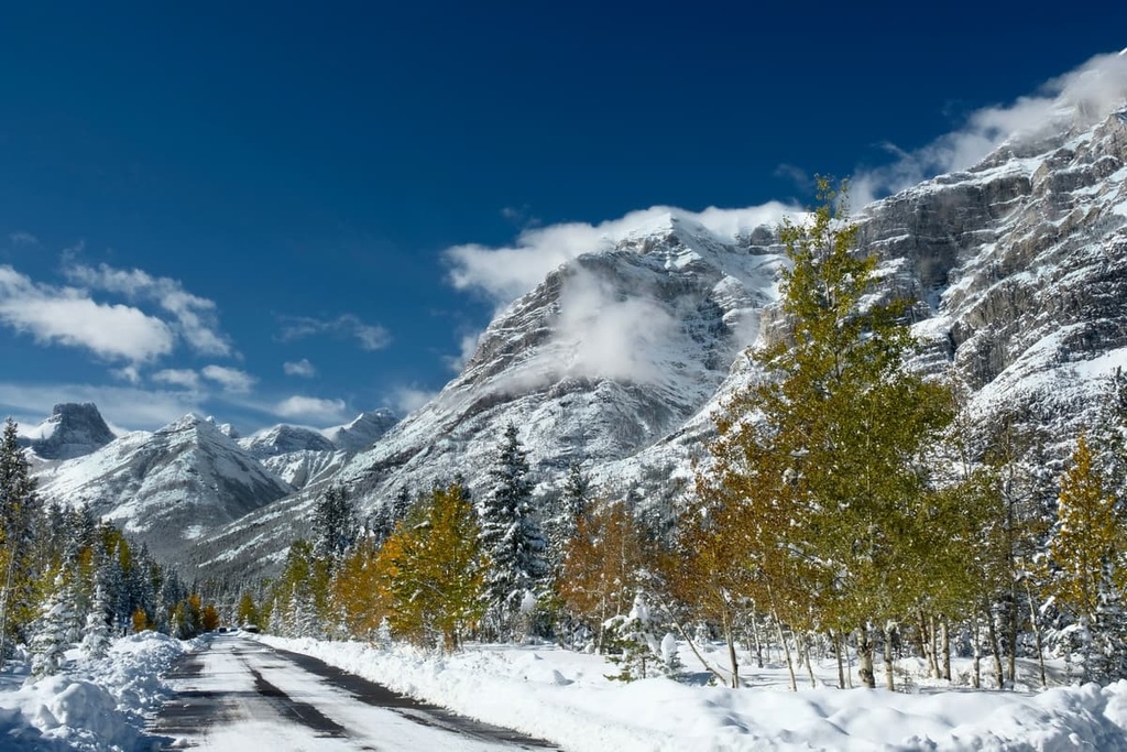
The Mount Livingstone Natural Area, as well as the rest of the Livingstone Range and Rockies, were covered with glaciers and ice sheets during the Pleistocene. The glaciers are primarily responsible for forming the current topography of Mount Livingstone and Saddle Mountain.

The Mount Livingstone Natural Area is representative of the Rocky Mountain Natural Region, which has the coolest summers, shortest growing season, and the highest annual precipitation of any of Alberta’s natural regions.
The alpine peaks in the natural region are rocky with sporadic tufts of sedge and heather growing along the edges of the lasting snowpack. Here, heath meadows grow above the treeline and are dominated by heather and dwarf shrubs. Trees attempt to grow as high as possible; however, the winds prevent them from growing tall and the winter storms drive ice crystals at the trees, stripping exposed areas of their bark.
Mountain goats inhabit the peaks and steep cliffs, as do bighorn sheep. Marmots and Columbian ground squirrels create their burrows in the alpine rocks of the natural area, right above the treeline. Their screeching calls can be heard as you hike through the subalpine forests towards the summits of Mount Livingstone.
The subalpine is a mix of forests and meadows full of wildflowers and herbaceous plants. Engelmann spruce, subalpine fir, and larch are the primary tree species that fill the upper slopes. In the autumn, the larch trees in the natural area also create a beautiful contrasting pattern of yellow and orange against the green of the spruce and pine trees.
Aspen and lodgepole pine fill out the lower slopes and are the dominant forests of the valleys of Mount Livingstone Natural Area. Deer, elk, grizzly bears, black bears, wolves, cougars, coyotes, foxes, and a variety of smaller mammals also inhabit the area.
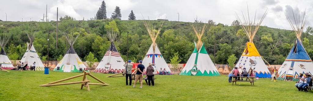
The Mount Livingstone Natural Area is the traditional territory of the Métis, Tsuu T’ina, Ktunaxa, and the Blackfoot First Nations. The area has been traditionally used for hunting, gathering natural resources for food, clothing, and ceremonial uses. The area is part of the traditional land used for ceremonial purposes of many First Nations, including vision quests.
The first peoples of European descent to visit the region were likely fur traders that arrived on the eastern slopes of the Livingstone Range in the eighteenth century. Peter Fidler climbed the nearby Tornado Mountain in 1792, making the first recorded ascent in the Rocky Mountains by a non-Indigenous person.
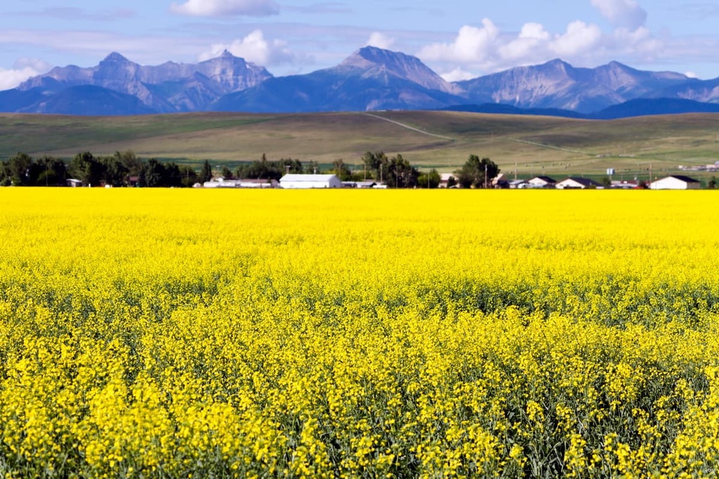
There are no settlements or industrial activities within the natural area. There are mines as well as logging operations occurring nearby; however, the primary industry of the area is agriculture and ranching. The landscape around the natural area has remained relatively unchanged for the past century as ranching has remained the primary activity in the area.
The Municipal District of Ranchland, which contains the Mount Livingstone Natural Area, is the least inhabited municipal district in Alberta, Canada, with fewer than 1000 residents and no municipal settlements within the district. Nearly all the land in the district is devoted to agriculture or is part of a protected area.
Mount Livingstone Natural Area has two peaks, both of which feature hiking trails that lead to their summits. There are also many more peaks in the surrounding Don Getty Wildland Provincial Park.
The natural area does not have many visitors and the trails here are unmaintained. Therefore, they require route finding, minor scrambling, and some bush whacking. The following are some of the main trails in and around the Mount Livingstone Natural Area:
The primary route to summit Mount Livingstone is a 7.2 km (4.3 mi) loop that requires some minor bushwhacking and route finding; however, the views from the top are worth the effort.
The route heads up one of the western ridges of the mountains and down another on to return to the Forestry Trunk Road. It’s possible to hike over to Saddle Mountain from the peak of Mount Livingstone.
The Mount Hornecker Loop trail is a 14.3 km (8.6 mi) long trail that loops around Mount Hornecker to the summits of Windy Peak and Saddle Mountain. As with most trails in the area, the trail is poorly defined and requires navigational skills and patience while moving through the brush.
There are many alternate trails in the area that make it possible to get off track; however, some of those trails can also take you to the summit of Mount Hornecker, so you can bag three peaks in a day.
There are no cities close to the Mount Livingstone Natural Area as it is located in one of the most remote parts of Alberta. In fact, this is part of the reason the trails in the natural area are often just suggested routes on a map.
Nevertheless, the following are some of the main towns and cities that are within driving range of the natural area for a quick day trip:
The city of Calgary is located about 154 km (92 mi) to the north of Mount Livingstone Natural Area. Calgary is the largest city in Alberta, and it is a great city to stay in for day trips to various mountain and wilderness locations. In fact, the city is located relatively close to the incredible wilderness areas of Kananaskis Country and Banff National Park.

While staying in Calgary you’ll have a large selection for accommodation and dining choices. There are plenty of museums to visit, too, as well as regular theater productions and concerts. The Calgary Zoo is a fun place to explore and it’s neat to get a view of the city from the Calgary Tower.
The town of Pincher Creek is situated some 100 km (60 mi) away from Mount Livingstone Natural Area. Pincher Creek is a community near the Oldman River and it is located close to the Oldman Reservoir, which has opportunities for camping and boating.
While staying in or visiting Pincher Creek, check out the Kootenai Brown Historical Village. Here, there are many historical buildings to enter and explore so you can see what life was like when the region was settled in the nineteenth century.
You can visit the old RCMP stables at the village as well as visit the museum. In the museum, you can see the thousands of artifacts that represent the lives of the First Nations that have called the region home for thousands of years.
The Municipality of Crowsnest Pass is located about 75 km (45 mi) from Mount Livingstone Natural Area. The municipality consists of several communities that were amalgamated into one district, including Coleman, Blairmore, Frank, Hillcrest, and Bellevue.
The towns were formed in the early twentieth century as settlement for the miners working the many coal mines. The area has a fascinating history that includes bootleggers, train robberies, the worst mining disaster in Canadian history, and a landslide that covered a whole town in less than two minutes.