Scan the QR code and open PeakVisor on your phone
Mendocino National Forest is a federally protected area comprising some 1,427 square miles (3,696 sq. km) of land in the northern part of the US state of California. The forest contains a significant portion of California’s section of the Northwest US Coast Ranges.
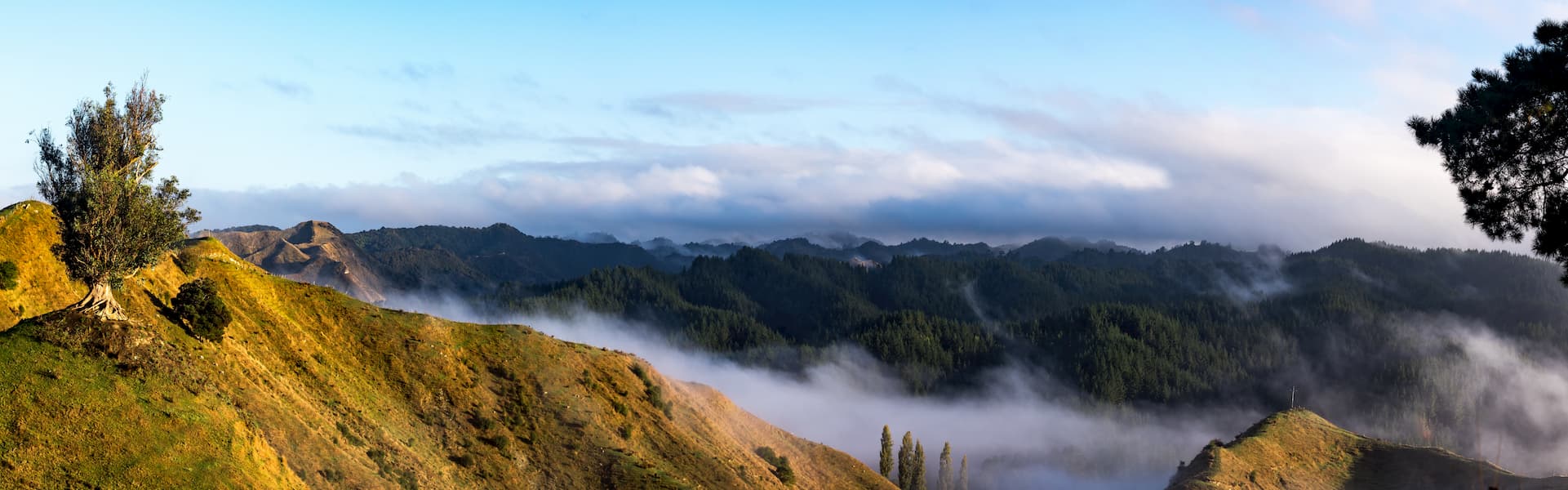
The region is known for its great outdoor recreation opportunities and stunning mountain views. It is home to 77 named mountains, the highest of which is Black Butte (7,455ft/2,272m), and the most prominent of which is Big Signal Peak (6,178ft/1,883m).
Mendocino National Forest is located north of the San Francisco Bay Area in the northern section of California. It is included within the borders of six different counties - Mendocino, Tehama, Colusa, Trinity, Glenn, and Lake.
The southern part of the forest runs parallel to the Mayacamas Mountains and is bordered to the east by the northernmost section of the California Central Valley. Mendocino National Forest is bordered to the south by the Berryessa Snow Mountain National Monument and to the north by Shasta-Trinity National Forest and Six Rivers National Forest.
It contains four different wilderness areas, including Snow Mountain Wilderness, Sanhedrin Wilderness, Yuki Wilderness, and the Yolla Bolly-Middle Eel Wilderness, which it shares with both Trinity and Six Rivers National Forests.
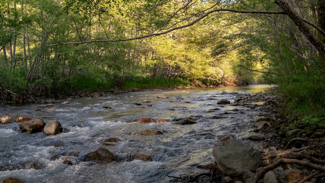
A number of important rivers run through the range including the Eel River, Rice Fork of the Eel River, Middle Fork of the Eel River, Stony Creek of the Sacramento River, and Black Butte River. The largest lake in the forest is Lake Pillsbury, which is also a popular camping and boating site.
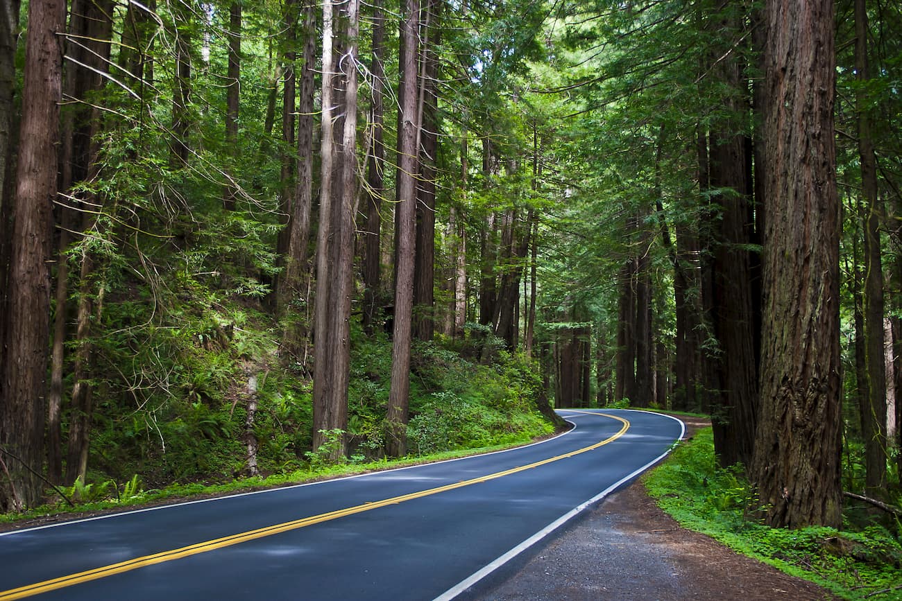
Interestingly, Mendocino National Forest is the only National Forest in California that doesn’t have a paved major road entering it, a testament to its remoteness, despite its relative proximity to the San Francisco Bay Area and Sacramento.
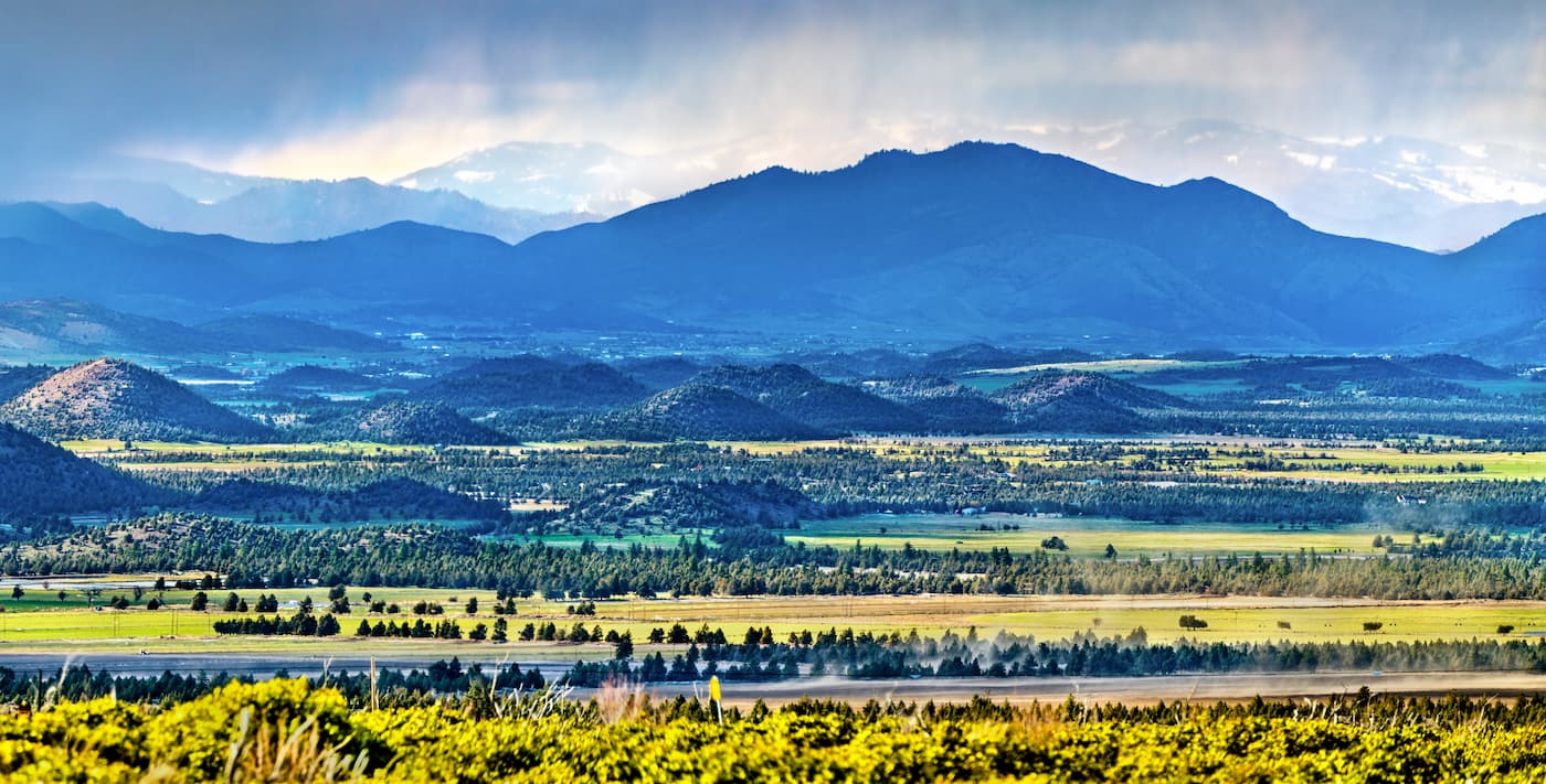
The mountains in the Mendocino National Forest are part of the Northwest US Coast Ranges. These peaks extend from the US border with Canada’s British Columbia south through Washington, Oregon, and California to the San Francisco Bay Area.
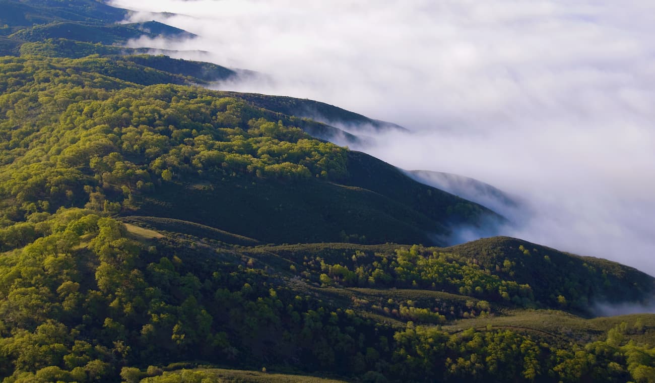
The majority of the bedrock in these ranges are Tertiary, Cretaceous, and Jurassic in age. Many of these rocks are sedimentary in origin but feature a large number of igneous intrusions. Additionally, the region has been extensively folded and faulted. These processes are responsible for many of the geologic structures that we see in the region today.
The region in and around the Mendocino National Forest was a popular location for mercury mining during the height of the California Gold Rush in the Sierra Nevada. Although mercury itself isn’t as valuable as gold, it was critical for the extraction of gold from gold ore, so it was heavily mined during the mid to late 1800s.
In fact, the Cache Creek Basin, whose north fork starts in the Mendocino National Forest, contains a substantial quantity of Cenozoic-era cinnabar deposits. Cinnabar is a bright red mineral that is one of the most common ores used to produce elemental mercury.
However, cinnabar and mercury are both highly toxic to humans. During the 1870s, the production of mercury in the Mendocino National Forest region hit its peak, with an annual output of over 3000 tons (2,720 metric tons). The now-abandoned mines still leach a large quantity of mercury into the Cache Creek watershed, which then runs into the Sacramento River and the San Francisco Bay.
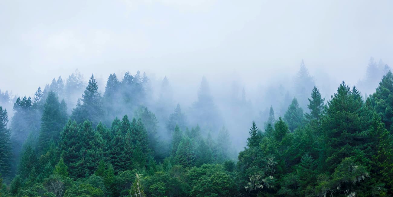
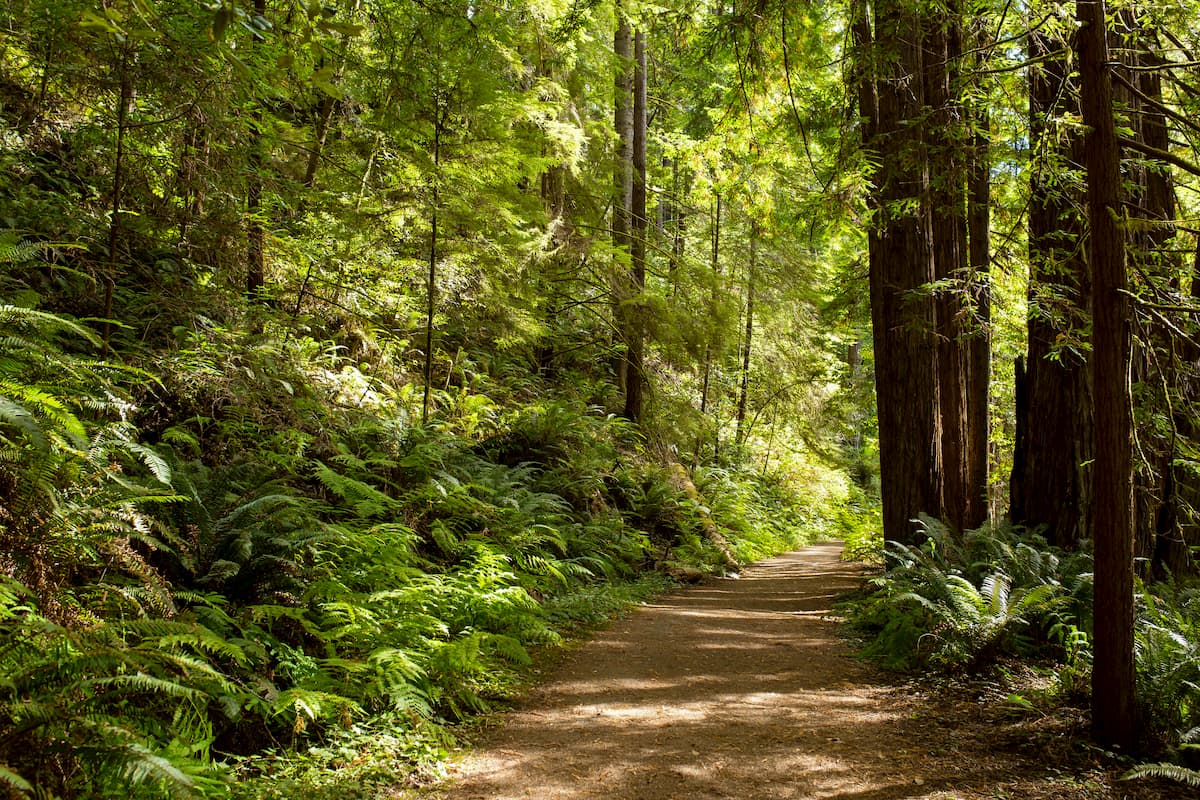
The Mendocino National Forest is home to a significant amount of old-growth forest in separate stands that occupy an estimated 92 square miles (240 sq. km) of land. For the most part, these old-growth forests contain ponderosa pine, tanoak, white fir, coast Douglas-fir, and Pacific madrone.
Additionally, the forest contains a sizable population of tule elk, one of the largest native land mammals in California. They were nearly hunted to extinction during the late 1800s but were reintroduced around Lake Pillsbury in the Mendocino National Forest.
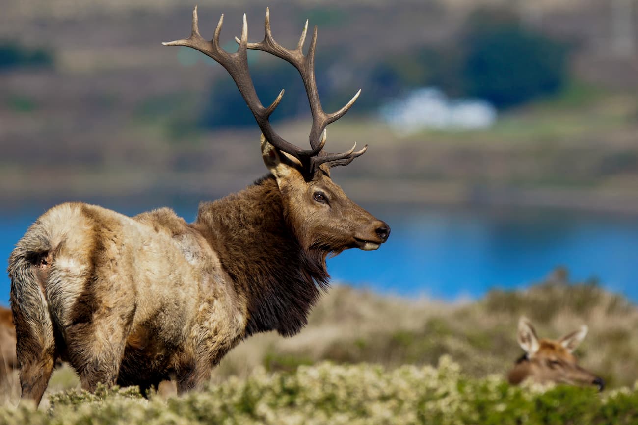
Nowadays, they live throughout the forest, but mostly near Hull Mountain along Mendocino’s border with Berryessa Snow Mountain National Monument. However, the only other forest where the elk are found in the state is Los Padres National Forest in the southern part of California.
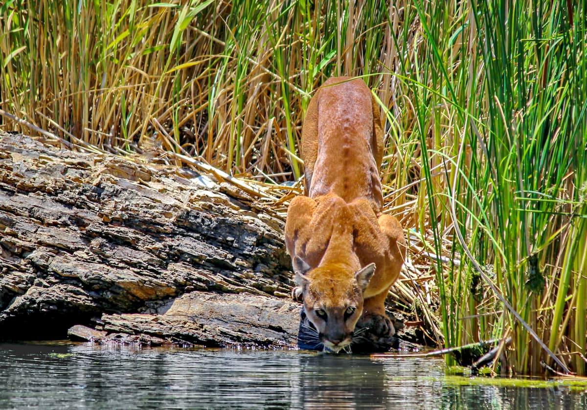
Other wildlife in the region includes the western rattler, a variety of frogs and toads, black bear, coyotes, and mountain lions.
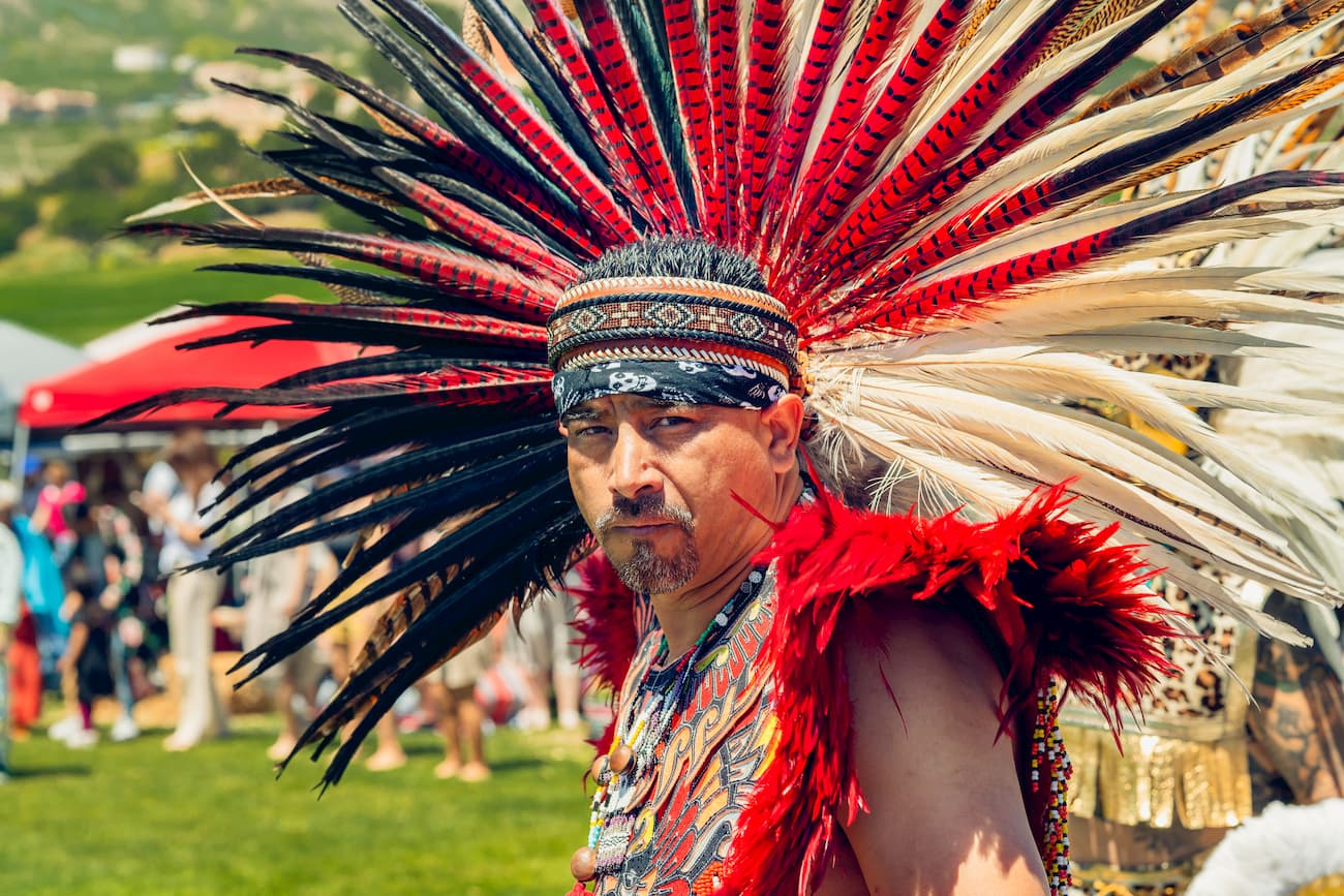
The Mendocino National Forest has been home to humans for millennia. A number of different indigenous peoples lived in the forest before the arrival of European and European-American settlers, including the ancestors of the Paskenta Band of Nomlaki Indians, the Mechoopda Tribe of Maidu Indians, and the Round Valley Indian Tribes.
During the California Gold Rush, thousands of white settlers arrived in the region around Mendocino National Forest, mostly in search of mercury mining opportunities. As a result of this influx of settlers, the native people of the region were forced off of their homelands into reservations, kidnapped, or forced into indentured servitude.
The most famous example of this brutality came in 1863 when 435 Konkow Maidu people were rounded up from their homelands by US cavalrymen under the command of Captain Augustus Starr.
After being rounded up, the Maidu were forcibly relocated and marched from their home to the Round Valley Reservation near Covelo along the Nome Cult Trail (aka Konkow Trail of Tears). Out of all of those who were forced to start the march, only 277 completed the 14-day trek.
The public lands of the region were first surveyed in 1905 under the direction of Gifford Pinchot, the first head of the US Forest Service. As a result of these surveys, President Theodore Roosevelt created the Stony Creek Forest Reserve in 1907.
Just one month later, the reserve became Stony Creek National Forest. In 1908, the northern part of the forest was reassigned to Trinity National Forest because it was too large to manage as one tract of land. By July of that year, the boundaries of the forest were redrawn and it was subsequently renamed California National Forest.
In 1932, President Herbert Hoover renamed the land, once again, thereby giving the region its current English-language name of Mendocino National Forest. Since then, the forest has been split into three different ranger districts.
A non-contiguous section of the forest, the Genetic Resource Center, was added to Mendocino in 1974. The facility was created in 1904 as a way to conduct plant breeding research. These days, the center does research on plant genetics and plant-based pharmacology.
The region has also been the site of a number of large wildfires. One of the most historic blazes, the 1953 Rattlesnake Fire, was started by an arsonist in two locations - one on private land and the other within the forest.
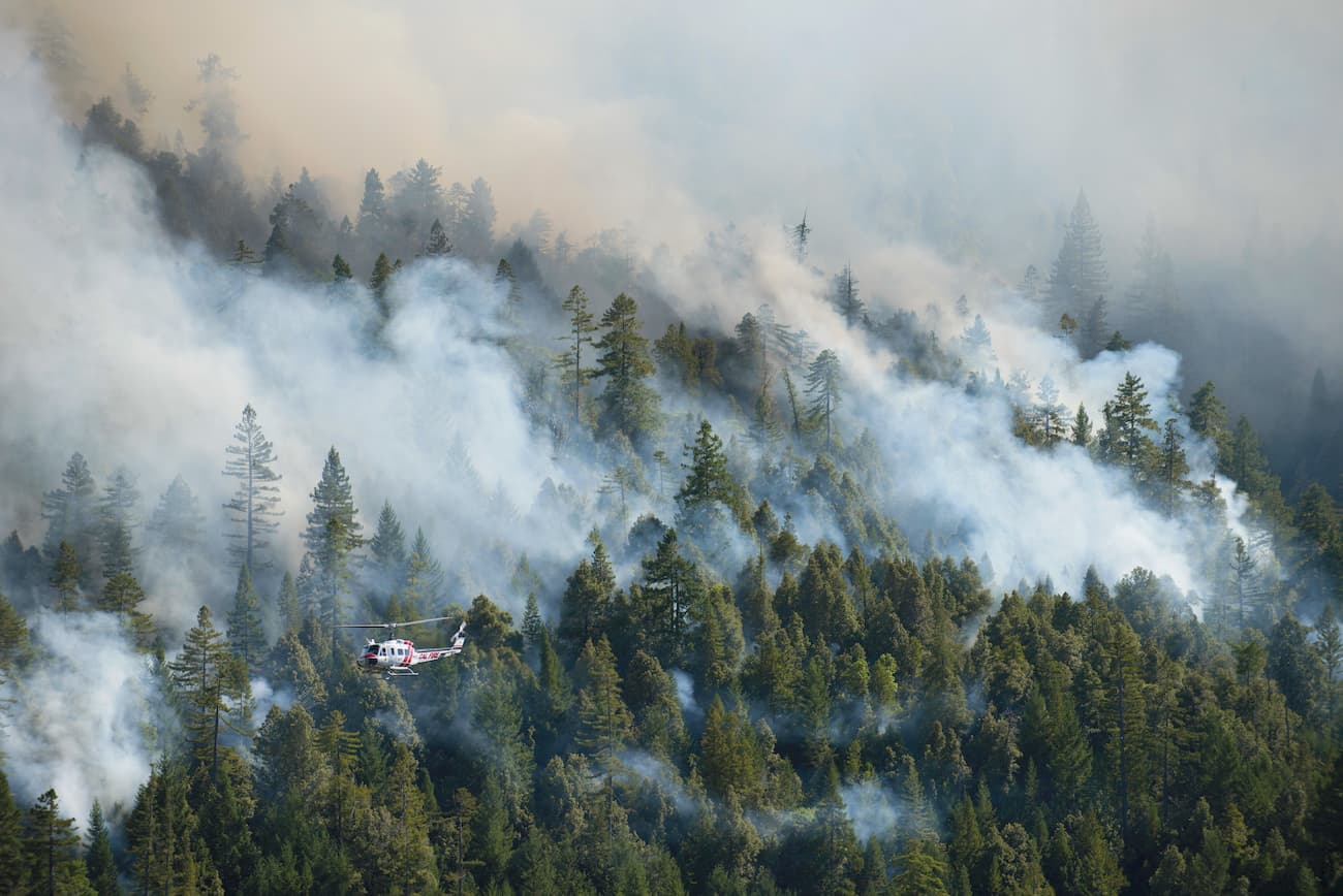
In attempts to contain the fire, fifteen firefighters perished, a tragedy that later led to major changes in wildland firefighting practices, strategies, and training systems. There is a memorial to the firefighters that overlooks Rattlesnake Canyon off of Forest Highway 7.
Other notable blazes include the 2001 Trough Fire in the Snow Mountain Wilderness and the 2018 Mendocino Complex Fire which also scorched the entirety of the same wilderness. The latter fire burned around 284,000 acres (114,930ha), about one-third of the entire Mendocino National Forest, and killed one firefighter.
Mendocino National Forest is home to some amazing hiking areas in northern California. These are some of the best places to visit during your travels in the region:
The Snow Mountain Wilderness is a federally protected area that contains 60,076 acres (24,311ha) of land in the southern part of the Mendocino National Forest and the northern part of the Berryessa Snow Mountain National Monument. The wilderness contains 8 named peaks, the highest and most prominent of which is Snow Mountain East (7,051ft/2,149m).
The region is known for its subalpine environments and stunted groves of red fir trees. It is also home to some rare plans, including Sonoma manzanita (Arctostaphylos canescens ssp. sonomensis), which can be found on Snow Mountain East. Additionally, the area contains some specimens of bentflower fiddleneck (Amsinckia lunaris), a plant endemic to northern California, on Saint John Mountain.
Snow Mountain Wilderness has about 37 miles (60km) of maintained hiking trails and 18.5 miles (29.8km) of unmaintained paths. Popular hiking options include Milk Ranch Loop Trail, Deafy Glade Trail, and Bear Wallow Trail.
The Sanhedrin Wilderness is a 10,571 acre (4,277 ha) parcel of federally-protected land in the western portion of Mendocino National Forest. It was created in 2006 by the Northern California coastal Wild Heritage Wilderness Act to protect the rugged terrain and large ridge that travels through the region.
Sanhedrin Wilderness contains two named mountains, the highest and most prominent of which is Impassable Rock (5,719ft/1,743m). There are no maintained or developed trails in the wilderness and the only public access is via a lookout on Big Signal Peak. So, it’s a great place to go to if you’re looking for solitude and adventure far off the beaten path.
The Yuki Wilderness is located in the central part of Mendocino National Forest. It covers 53,887 acres (21,807 ha) of land and 11 named mountains, the highest of which is Monkey Rock (6,335ft/1,931m), and the most prominent of which is Buzzard Roost (5,646ft/1,721m).
This region is well-known for its fantastic diversity of plant life. It is home to six of California’s oak species, as well as an abundance of wildflowers. The Middle Fork Eel River is a designated Wild and Scenic River that flows through the wilderness. It is home to steelhead and chinook salmon, as well as rainbow trout.
Like the Sanhedrin Wilderness, there are no developed trails in the Yuki Wilderness. But, there are plenty of great backpacking trip options available if you’re interested in some off-trail travel.
The Yolla Bolly-Middle Eel Wilderness is a 180,877 acre (73,198 ha) protected area that was created as a result of the 1964 Wilderness Act. It is contained within both the Mendocino National Forest and the Shasta-Trinity National Forest. Peaks within the wilderness are part of the Klamath Mountains.
The wilderness contains 24 named peaks, the highest and most prominent of which is South Yolla Bolly Mountains (8,081ft/2,463m). It is a very popular area for hiking, backpacking, and fishing.
Unlike some of the other wildernesses in the Mendocino National Forest, the Yolla Bolly-Middle Eel is home to over 15 trailheads. Good hiking options include Black Rock Lake Trail, Ides Cove Loop National Recreation Trail, North Yolla Bolly Lake Trail, and Humboldt Trail. The Bigfoot Trail also starts in the wilderness and then travels north to Redwood National Park.
Here are some of the best places to stay when heading into the Mendocino National Forest:
Sacramento is the capital city of the state of California. It is also the state’s sixth-largest city with a population of over 510,000 people. Sacramento is located in the central part of California, just southeast of the Mendocino National Forest.
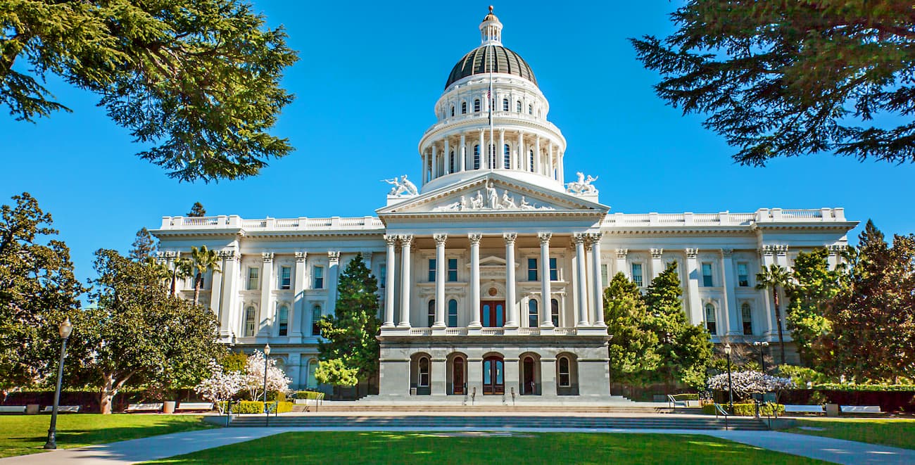
The city has good rail connections via Amtrak to cities around California and the West Coast. It also has a major international airport and it is located at the intersection of I-80 and I-5.
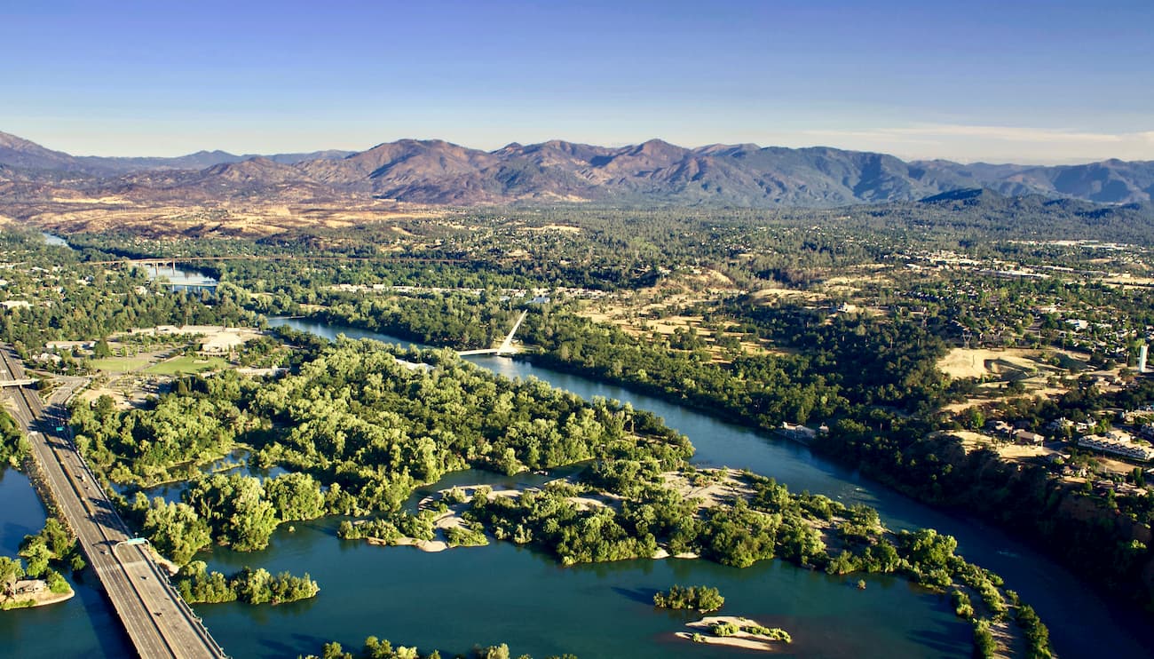
Redding is located at the northern edge of the California Central Valley and has a population of over 90,000 people. The city is just east of Mendocino National Forest and is well connected by road and train to the rest of the state.
Amtrak operates regular train and bus service from Redding as far north as Seattle and as far south as Los Angeles. Redding is also located along I-5, which offers good connections to Medford-Ashland, Sacramento and as far south as San Diego
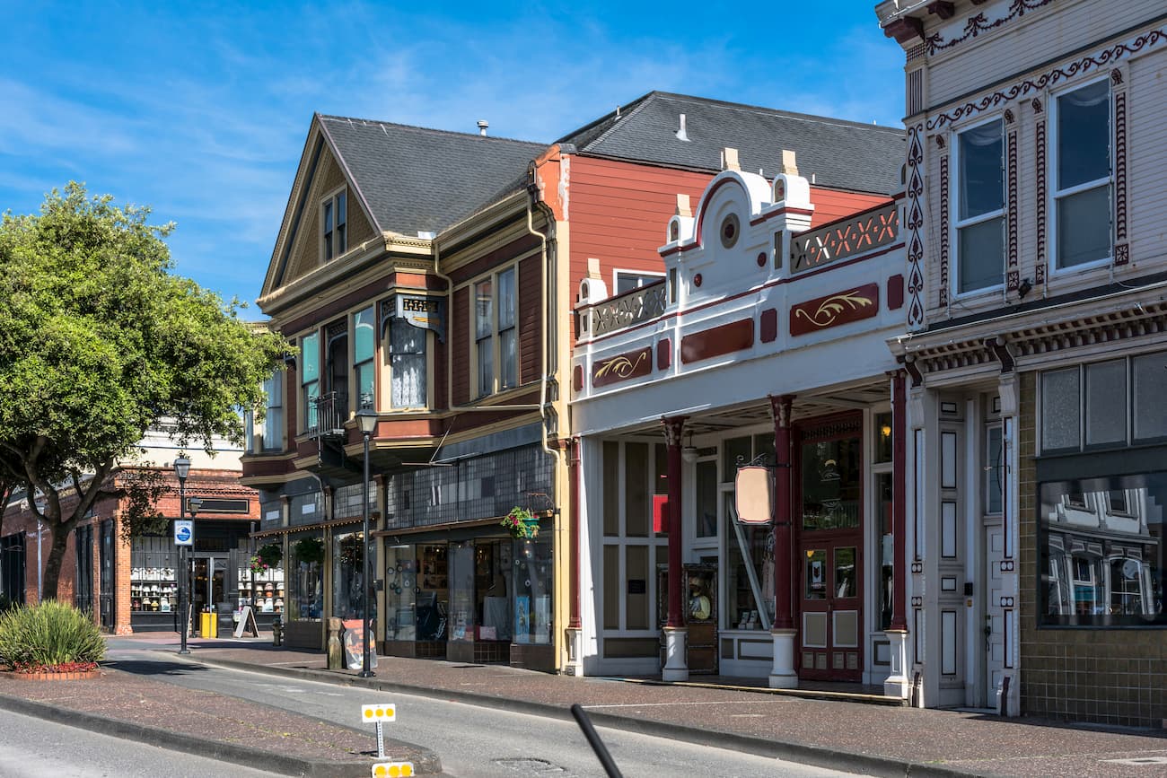
Eureka is the one of the largest cities in coastal northern California with a population of over 25,000 people. It is located along US Route 101 and is the largest city on the coast between San Francisco and Portland, Oregon.
The city is just northwest of the Mendocino National Forest. The easiest way to get to the city is by road, but there is also a small airport near Eureka with service to San Francisco and Los Angeles.