Get PeakVisor App
Sign In
Search by GPS coordinates
- Latitude
- ° ' ''
- Longitude
- ° ' ''
- Units of Length

Yes
Cancel
❤ Wishlist ×
Choose
Delete
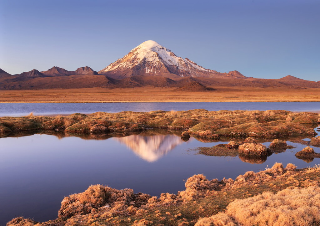
Boasting rugged mountains, dense rainforests, and massive salt flats, and a rich cultural heritage, Bolivia is a land-locked country located in the west-central part of South America. Bolivia contains 3,780 named mountains, the highest of which is Nevado Sajama (6,542m/21,201ft), and the most prominent of which is Illimani (6,462m/21,201ft).
The country of Bolivia (officially the Plurinational State of Bolivia/Estado Plurinacional de Bolivia/Puliwya Mamallaqta) is a land-locked country situated in west-central South America. With a total land area of some 1,098,581 square kilometers (424,164 sq. miles), Bolivia is the 27th largest country in the world and the 5th largest in South America after Brazil, Argentina, Peru, and Colombia.
Interestingly enough, Bolivia is one of only two landlocked countries in South America, with the other being its neighboring Paraguay, Bolivia shares its borders with a number of other nations, including Peru to the west and Chile, Argentina, and Paraguay to the south. It is also located to the west and south of the states of Mato Grosso do Sul, Mato Grosso, Rondônia, and Acre in Brazil.
Bolivia is officially divided up into nine departments (departamentos), which are the country’s largest administrative subdivision. Furthermore, the country can be divided up into three unofficial geographical regions based on topography.

Covering the western 28% of the country the Región Andina (Andean Region) is a highly mountainous area in Bolivia. This region includes parts of La Paz, Potosí, Oruro, Chuquisaca, and Cochabamba departments and is situated along the country’s borders with Peru, Chile, and Argentina.
As the name suggests, the Andean Region is home to the Bolivian Andes. It is mostly located at about 3,800m (12,400ft) in elevation. Interestingly, it is also one of the most populous sears in the country, with some 40% of the Bolivian population calling it home, despite its relatively small size.
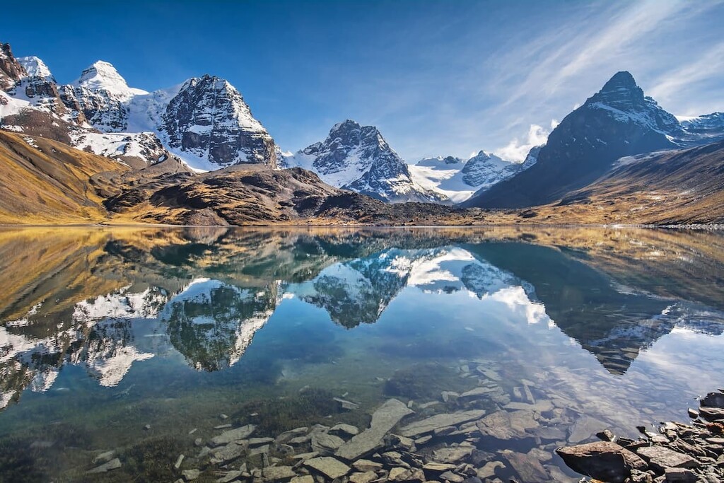
Due to the mountainous nature of the Andean Region, it is also one of the best places to visit if you’re looking to get outside. The region contains a number of excellent parks and protected areas, such as:
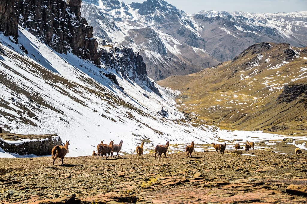
Located to the east of the Andean Region, the Región Subandina (Sub-Andean Region) is a mid-elevation area comprised of the Los Yungas and Los Valles regions. It includes part of Cochabamba, Tarija, Chuquisaca, and La Paz departments and accounts for about 12% of the country.
Here, the climate is quite temperate, which makes it conducive to agricultural activities. That being said, there are a number of parks within the region, including:

By far the largest region in the country, the Región de Los Llanos Orientales (Llanos Region) encompasses about 60% of Bolivia’s total land area. It includes nearly all of eastern and northern Bolivia as well as part or all of La Paz, Tarija, Beni, Pando, Santa Cruz, Chuquisaca, and Cochabamba departments.
Los Llanos is characterized by mostly flat landscapes that are heavily forested. Most of this region is part of the tropical Amazon Rainforest, which covers much of northern South America.
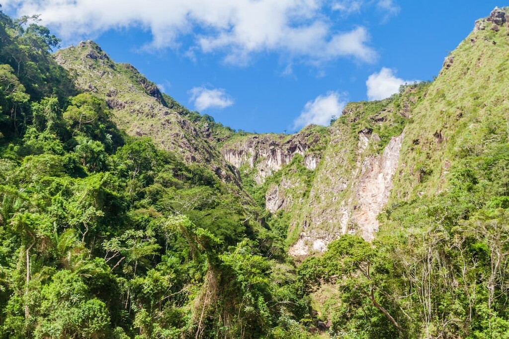
Although this region is the largest in the country, it is also one of the least densely populated. Furthermore, it is home to a great collection of parks and nature reserves, such as:
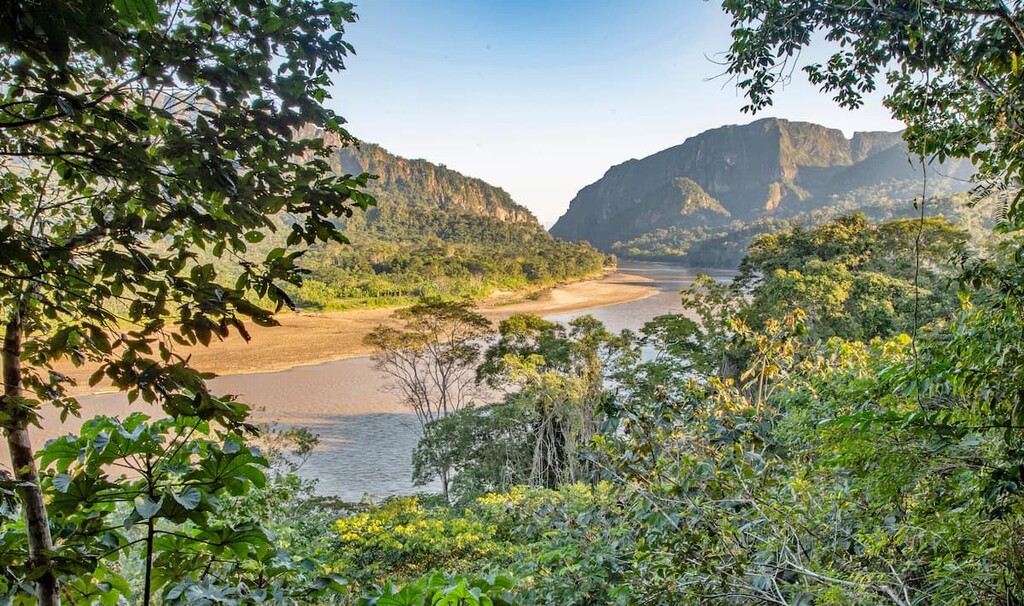
The primary mountain range within Bolivia is the Andes Mountains, which runs along the country’s western border.
Starting from Colombia and Venezuela in the north and making their way along the western coast of South America to Chile and Argentina, the Andes are one of the world’s longest mountain ranges. In Bolivia, the range dominates the western third of the country and is the source of the foothills.
The Andes formed mostly as a result of the subduction of the Nazca Plate under the South American Plate. This subduction process led to mountain building along the western edge of the continent through a number of different orogenies, including, most notably, the Andean orogeny.
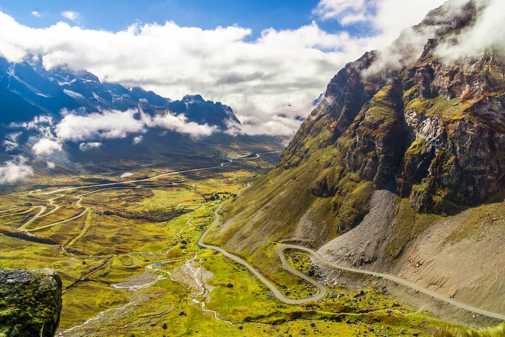
As a result of this subduction, the range is also home to quite a few volcanoes including Nevado Sajama, Volcán Parinacota, Volcán Pomerape, and Cerro Sillajhuay, all of which are located within Bolivia.
Furthermore, while the eastern half of the country is quite flat, Bolivia is highly resource-rich. In fact, it contains large reserves of natural gas, petroleum, zinc, silver, gold, tungsten, tin, and lead.
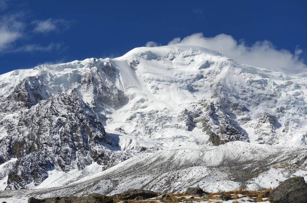
Major peaks in Bolivia include Nevado Sajama, Illimani, Anochuma, Illampu, Volcán Parinacota, Volcán Pomerape, Ancohuma, and Jach’a Khunuqullu.
While Bolivia isn’t officially listed as a “megadiverse” country due to its lack of coastline, it is one of the most biodiverse countries on the planet.
Thanks to Bolivia’s wide range of altitudes, it contains a slew of different ecosystems, each of which has its own unique collection of flora and fauna. This includes everything from the Amazon Rainforest in the east to the Altiplano (Andean Plateau) in the west.
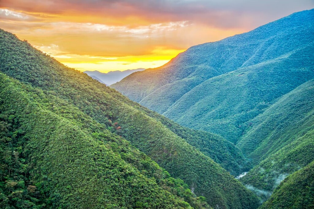
The country claims to have around 20,000 different plant species and nearly 3,000 animal species. This includes some 1,400 bird species, nearly 400 mammal species, over 630 fish species, and more than 200 each of reptile and amphibian species.
Some of the most notable animal species in Bolivia include multiple species of sloths, silky anteaters, giant anteaters, coypus, mountain lions, margays, Geoffroy’s cats, Pampas cats, Andean mountain cats, ocelots, jaguarundis, jaguars, Pampas foxes, bush dogs, spectacled bears, and maned wolves.
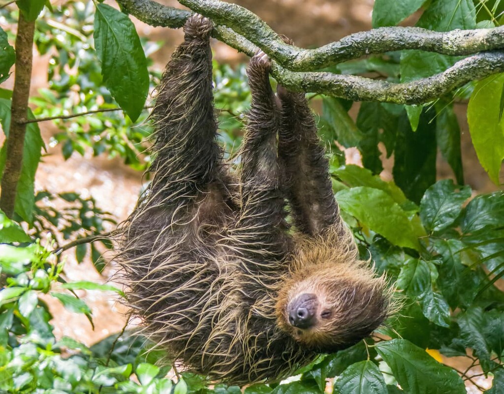
The land that is now part of Bolivia has been inhabited by humans for thousands of years. It is believed that people have lived around Lake Titicaca for about 10,000 years and that the Aymara people, among others, migrated into the heart of what is now Bolivia about 2,000 years ago.
Indeed, Bolivia is currently home to a number of different Indigenous tribes and nations. In fact, somewhere between 40 to 70% of the country’s population identify as part of an Indigenous group while many others identify as having both European and Indigenous ancestry. There are currently more than 30 recognized Indigenous groups within Bolivia, including the Aymara, Quechua, Yuqui, Qulla, Baure, and Chané, among others.
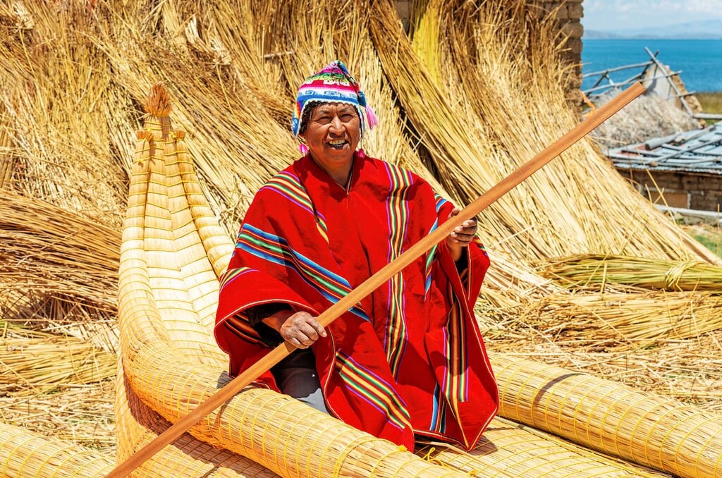
Before the arrival of the Spanish in the sixteenth century, the Inca Empire claimed control over much of what is now the Bolivian Andes. When the Spanish began their conquest of the Inca Empire in the 1520s, they managed to gain control of what is now Bolivia.
Interestingly, Potosí soon became one of the largest cities in Spain’s South American colonies. Due to its rich supplies of natural resources, particularly silver, Bolivia was an important colony for the Spanish Empire, however, introduced diseases and violence led to a massive decline in the population of Bolivia’s Indigenous peoples.
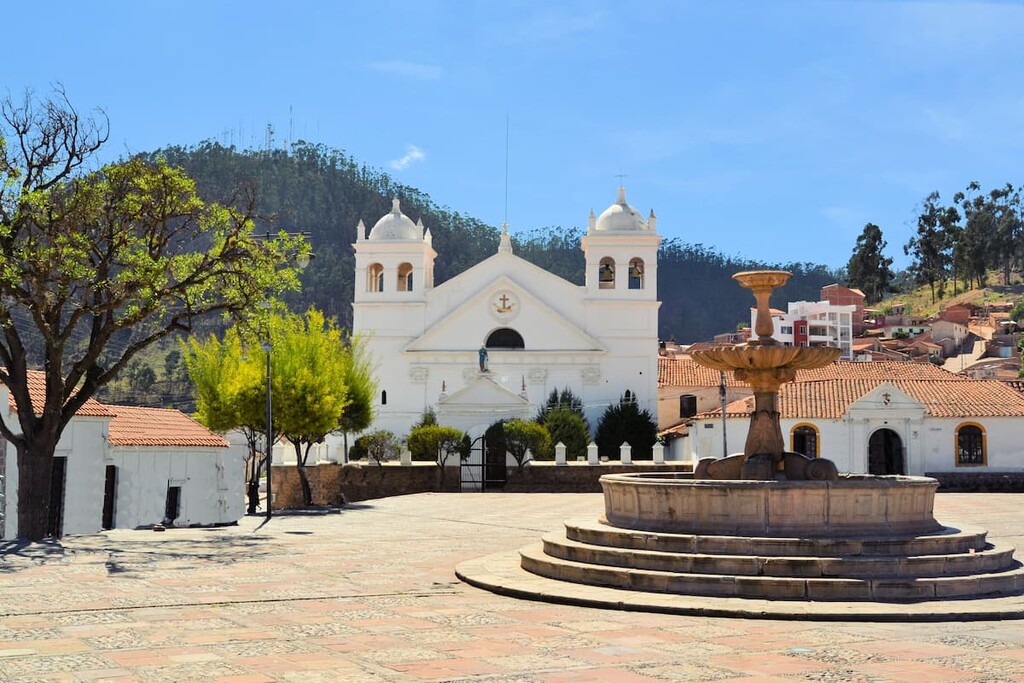
Like most other countries in South America that were under the control of the Spanish, Bolivia gained its independence in the early 1800s. The country saw a series of revolutions in 1809 that eventually gave way to the wars of independence and the creation of an independent Bolivian state in 1825.
The years following Bolivia’s declaration of independence were tumultuous. After gaining its independence, Bolivia fought both alongside and with many of its neighbors over territorial disputes.
This fighting led to a period of economic and political stability toward the middle part of the nineteenth century. Furthermore, much of Bolivia’s original territory has been lost to its neighbors in the years since its independence.
However, in the twentieth century, Bolivia found a new source of economic prosperity through tin mining. Nevertheless, political instability, which was marked by international intervention in the region and a series of coups d’état, were defining features of the country throughout the 1900s.
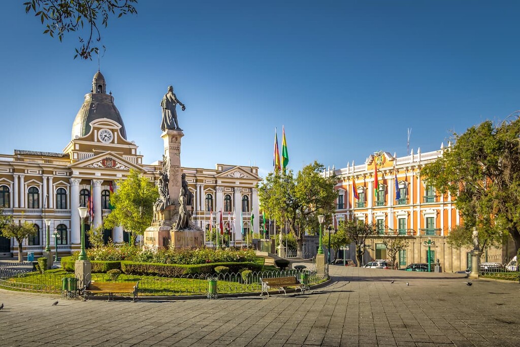
The twenty-first century has also been fairly tumultuous in the country, though 2009 saw the creation of a new Bolivian constitution. With this constitution, Bolivia renamed itself as the Plurinational State of Bolivia and established a new framework for its government.
In more recent years, Bolivia has also been working to boost tourism in the region. While resource extraction has long been a major part of the country’s economy tourism is becoming increasingly important, particularly as the international community takes note of Bolivia’s rich cultural history and stunning topography.
Bolivia is home to a truly fantastic array of outdoor recreation areas. From national parks to nature reserves, here are some of the top hiking destinations to check out during your next trip to the country:
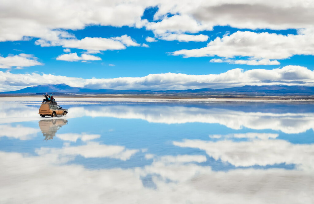
While not formally a national park, Salar de Uyuni is a massive salt flat located in southwestern Bolivia. The flat is actually believed to be the largest salt flat in the world, with a total area of some 10,000 square kilometers (3,900 square miles).
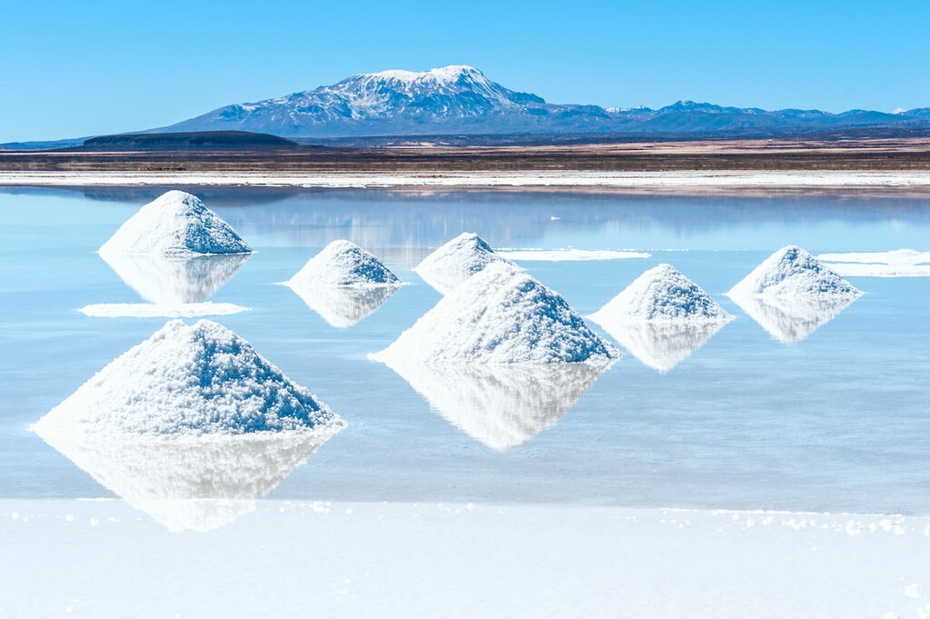
As one might expect, the Salar de Uyuni is a major hub for salt mining. In fact, it is estimated that the flat contains more than 10 billion tonnes of salt, though only a small fraction of it is mined each year.
Furthermore, Salar de Uyuni is believed to contain a high concentration of lithium, with some estimates stating that around 7% of the world’s lithium stores are located within the flat.
Nevertheless, Salar de Uyuni is also one of the country’s largest tourist attractions. While the flat itself isn’t particularly conducive to plant life (there are some succulents in certain areas, though), the region is an important location for a number of animal species.
In particular, Salar de Uyuni is an incredibly important breeding ground for three different species of flamingo. These flamingos tend to arrive in November, which is quite the site to see if you’re visiting during that time of year.
One of the largest protected areas in Bolivia, Eduardo Avaroa Andean Fauna National Reserve (Reserva nacional de fauna andina Eduardo Avaroa) is a federally-protected area located in the southwestern part of the country. It contains 68 named mountains, the highest of which is Cerro Sairecábur, and the most prominent of which is Volcán Licancabur.
The reserve is considered to be the most heavily visited protected area in Bolivia. It is known for its superb collection of hot springs, geysers, volcanoes, fumaroles, and lakes, as well as its awesome wildlife spotting opportunities.
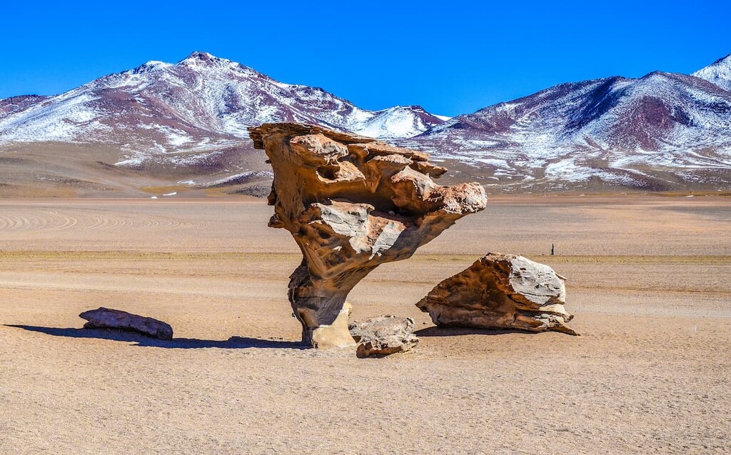
Furthermore, if you’re looking for a place to adventure, Eduardo Avaroa Andean Fauna National Reserve is the place to do it. The park’s massive size and plentiful hiking opportunities make it a great place to experience some of Bolivia’s wonderful landscapes.
However, maintained trails are few and far between in this area, so solid navigation skills are a must if you’re planning an extended stay in the reserve.
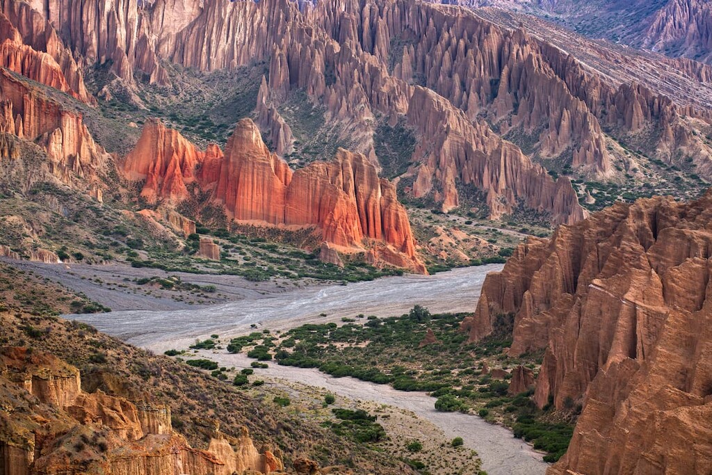
Located along Bolivia’s border with Chile, Sajama National Park (Parque nacional Sajama) is a solid place to visit if you’re looking to experience beautiful mountain landscapes and Bolivia’s rich cultural heritage. The park contains 22 named mountains, the highest and most prominent of which is Nevado Sajama.
In addition to being Bolivia’s first national park, Sajama is also home to the country’s tallest peak. It was created in order to protect both the peak and its surrounding area, which contains rich ecosystems as well as a number of important cultural artifacts.
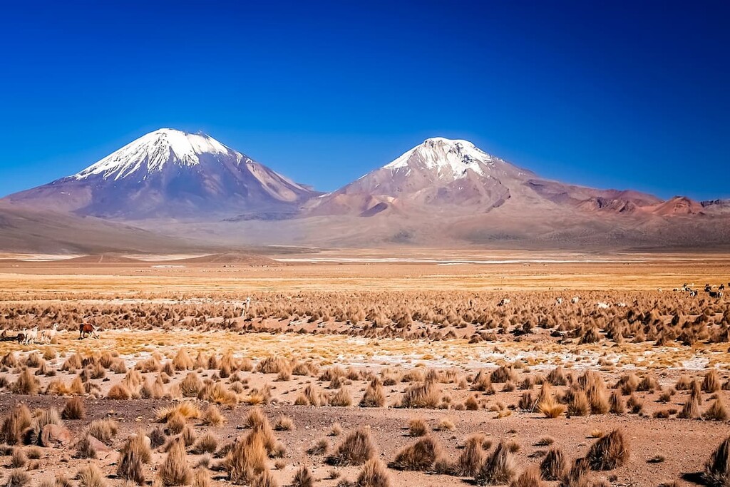
While the region around the park is relatively sparsely inhabited, there are plenty of places to see in the area. This includes a number of volcanoes, many of which can be hiked, as well as lagoons and geysers. Plus, alpacas are plentiful in this area, which can make for some fun encounters as you hike.
Looking for a place to stay during your trip to Bolivia? Here are some of the best cities to check out:
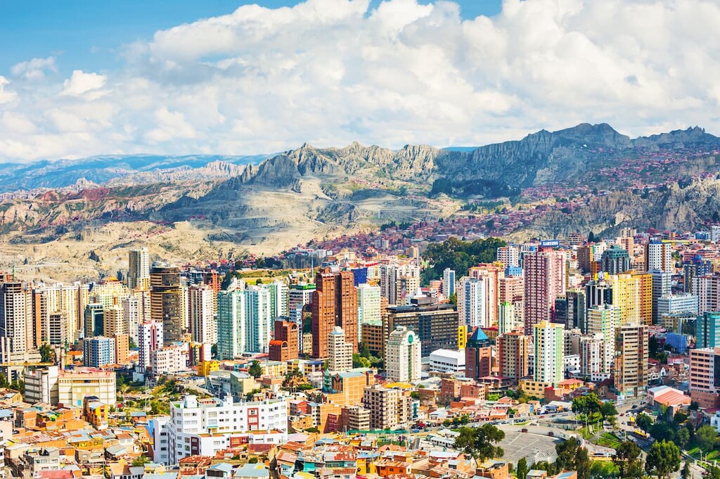
The third-most populous city in Bolivia and the country’s governmental seat, La Paz is home to some 816,000 residents. Boasting an elevation of about 3,650m (11,975ft), La Paz is generally considered to be the highest capital city on Earth.
La Paz is located to the southeast of Lake Titicaca and it is surrounded by the Andes Mountains, including the stunning Illimani. It is a hub for culture and commerce within the region thanks to its vibrant nightlife, ample historic sites, and plentiful museums. So, it’s well worth a visit if you’re planning a trip to Bolivia.
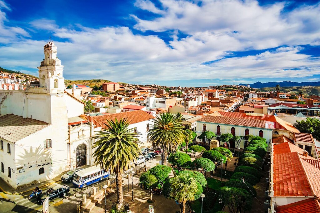
While La Paz might be the seat of Bolivia’s government, Sucre is technically its constitutional capital. Home to some 300,000 residents, Sucre is located in the south-central part of the country.
It is known for its beautiful colonial architecture, which helped it earn its current status as a UNESCO World Heritage Site. Plus, Sucre is actually home to one of the oldest universities in the Americas—Universidad Mayor, Real y Pontificia de San Francisco Xavier de Chuquisaca (University of Saint Francis Xavier)—which was founded in 1624.
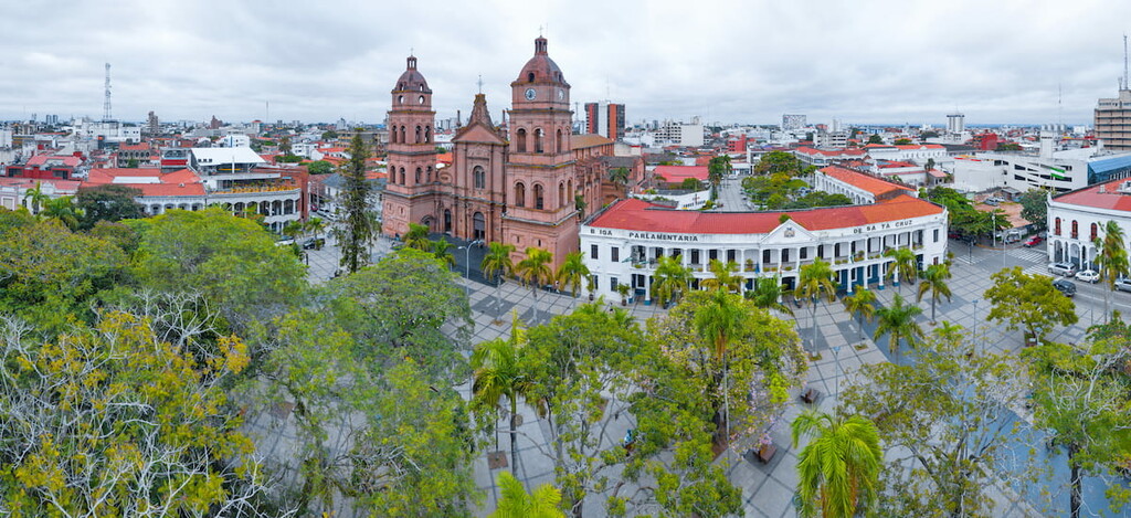
The largest city in Bolivia, Santa Cruz de la Sierra (more commonly, Sierra Cruz) is situated in the central part of the country along the transition zone between the Subandean region and Los Llanos.
Santa Cruz is home to about 1.4 million residents and it is the country’s main hub for economic activity. It has a number of important museums and cultural sites, as well as a fantastic culinary scene, so it’s a superb place to stay during your trip.
Explore Bolivia with the PeakVisor 3D Map and identify its summits.


ultra
volcano
andes-6000ers
bolivia-ultras
ultra
andes-6000ers
chile-ultras
bolivia-ultras
ultra
volcano
andes-6000ers
bolivia-ultras
ultra
andes-6000ers
chile-ultras
bolivia-ultras
ultra
volcano
chile-ultras
bolivia-ultras
ultra
volcano
chile-ultras
bolivia-ultras
