Scan the QR code and open PeakVisor on your phone
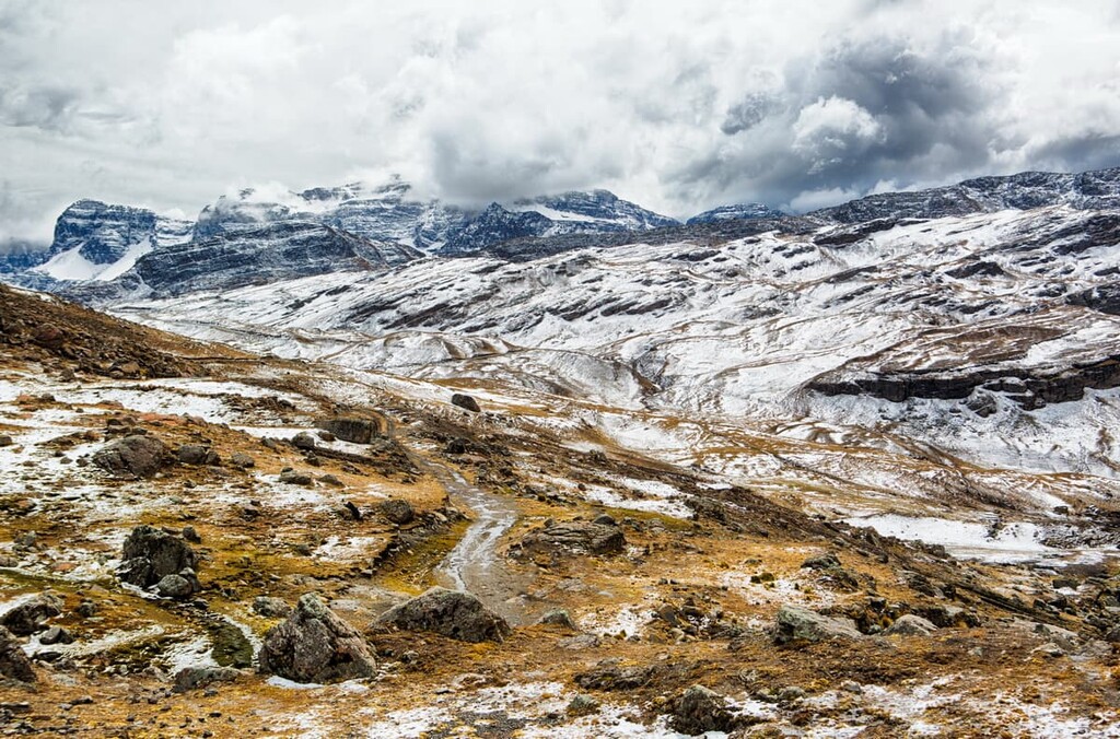
Tunari National Park is a protected area in central Bolivia that’s home to desolate Andean landscapes, hot springs, and 85 named mountains. The highest peak in the park is Cerro Pirhuata at 5,092 m (16,706 ft) in elevation, although nearby Cerro Tunari (5,045 m/16,552 ft) is the most famous and most frequently climbed peak.
Tunari National Park (Parque Nacional Tunari) covers about 3,000 sq km (1,160 sq mi) in the Cochabamba Department in central Bolivia, just north of the city of Cochabamba. The park encompasses the Tunari mountain range, along with several lakes.
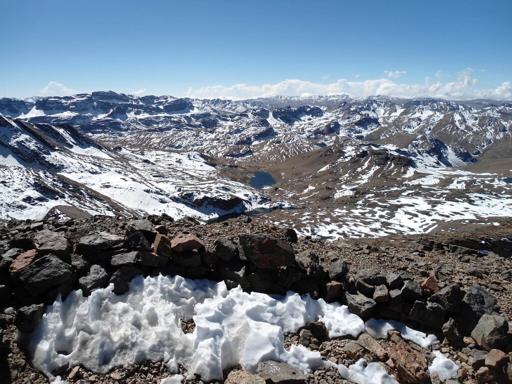
Elevations in Tunari National Park range from a low of about 2,200 m (7,220 ft) to a high of 5,045 m (16,552 ft) at the summit of Cerro Pirhuata. While Cerro Pirhuata is slightly taller than the park’s namesake mountain, Cerro Tunari is often wrongly referred to as the tallest peak in the range.
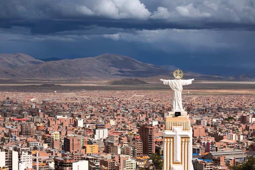
Cerro Tunari is highly visible from Cochabamba and it looms over the city as a dramatic ridgeline. It’s a popular destination for hikers and a relatively easy hike for a mountain of its elevation. Some tour companies offer 4x4 driving tours that take tourists part of the way up the mountain.
Tourists aren’t the only people inside Tunari National Park, however. About 80,000 people live within the boundaries of the park, most of whom identify as either Quechua or Aymara.
Tunari National Park is part of the Interandean Valles climate area, which is marked by high elevation arid valleys. Despite receiving less than 6 cm (2.4 in) of rain per year, there are a number of lakes in the park that serve as the main source of water for the city of Cochabamba and the agricultural areas around it.
Another interesting feature of Tunari National Park is the Liriuni Hot Springs. The mineral-rich springs, which sit at the bottom of a beautiful canyon, are thought to have medicinal properties. These are developed hot springs, with naturally heated water pumped into man-made outdoor pools. They’re a popular destination for both locals and tourists alike.
Tunari National Park lies on the western edge of the Bolivian Andes, so there are lots of other hiking areas nearby. The Isiboro-Sécure National Park and Indigenous Territory (Territorio Indígena y Parque Nacional Isiboro-Sécure) lies north of Tunari National Park, while Carrasco National Park (Parque Nacional Carrasco) is located to the west.
Tunari National Park lies within the Bolivian Central Andes, part of the greater Andes which run 7,000 km (4,350 mi) down the western coast of South America.
Tunari National Park encompasses most of the Cordillera Cochabamba, a horseshoe-shaped range that surrounds the city of Cochabamba to the north. The Cordillera Cochabamba’s parent range, the Cordillera Real, separates the high, arid Interandean region of Bolivia from the humid subtropical Yungas region in the west of the country.
Because of its location in the center of the Andes, Tunari National Park receives very little rain. The park lies within a rain shadow, an area between two high mountain ranges that block the free movement of clouds and weather systems.
Due to this arid climate, water scarcity is a serious issue in Cochabamba. In 1999 and 2000, there was a series of large protests in the city known as the Cochabamba Water Wars. A newly-privatized municipal water supplier doubled water rates on city residents, in part to pay for a stalled dam project.
In response, large protests spread throughout the city and elsewhere in central Bolivia, eventually forcing the government to remove the company in charge of Cochabamba’s water supply. The Misicuni Dam, which lies within the national park, was eventually built. The reservoir for the dam flooded a section of the park when it came online in 2017.
Like the rest of Bolivia, Tunari National Park is home to extensive biodiversity and numerous endemic species.
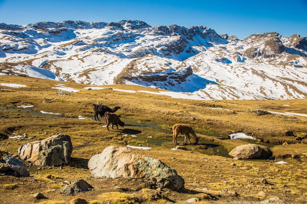
In the mountains and higher valleys, the landscape of the park is highly arid, with minimal vegetation. The lower mountain slopes and valleys are considered semi-humid and feature grasslands and forests of kewiña, eucalyptus, and pine trees.
The park is also home to a diverse wildlife population. There are over 30 species of mammals and 163 species of birds in the park, four of which are endemic to the area. The Tunari Mountain Finch is only found within the park.
The area of Tunari National Park has been inhabited for thousands of years. A succession of Indigenous peoples lived in the area, most notably the Tiwanaku and Aymara. The Inca conquered the area sometime in the mid-fifteenth century, but the Aymara, the Indigenous population at that time, retained some local control. Spanish colonizers took control of the area in the late 1500s.
Tunari National Park is Bolivia’s second oldest protected area, having been originally designated in 1962. When the park was created, its goal was to preserve the mountain valleys from Cochabamba’s growing population and help prevent flooding in the city.
The original version of Tunari National Park, which covered about 240 sq km (90 sq mi), the park was greatly expanded in 1991. Today, the park covers about 3,000 sq km (1,160 sq mi) of land.
There are nearly 400 families living within the national park, most of whom are Indigenous Quechua or Aymara people.
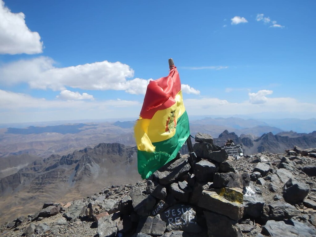
Cerro Tunari is the main hiking attraction in Tunari National Park. Depending on where you start the hike from, the climb requires between 3000–600 m (1,000–2,000 ft) of elevation gain or more.
If you’re starting the hike from the F25, the closest major road, the hike passes two beautiful alpine lakes, Lake Macho and Lake Turu. Many organized tour groups drive 4x4 vehicles to Lake Macho and start the hike from there, which makes for a steep 3.7 km (2.3 mi) round trip to the summit.
Views from Cerro Tunari are impressive, taking in sweeping views of the Cochabamba valley all the way to Illimani, Bolivia’s second-highest peak, on a clear day. There are significant cliffs at the top of Cerro Tunari, so be careful around the summit. The summit is also known to be very windy.
If you’re looking for a longer hike to the top of Cerro Tunari, you can climb the Pairumani-Tunari Peak trail, which makes for a 22 km (13.6 mi) hike with a grueling 2,100 m (7,000 ft) of elevation gain. This hike begins at the Parque Ecoturístico Pairumani, in the town of Pairumani to the northeast of Cochabamba.
Another long hike in Tunari National Park is the Circuito Trekking 20 Lagunas, which covers 19.5 km (12.1 mi) with 1,077 m (3,536 ft) of elevation gain. The hike features camping spots and passes over a dozen beautiful alpine lakes.
Looking for a place to stay near Tunari National Park? Here are some of the best places to check out:
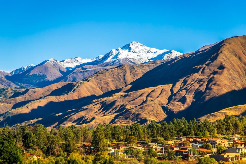
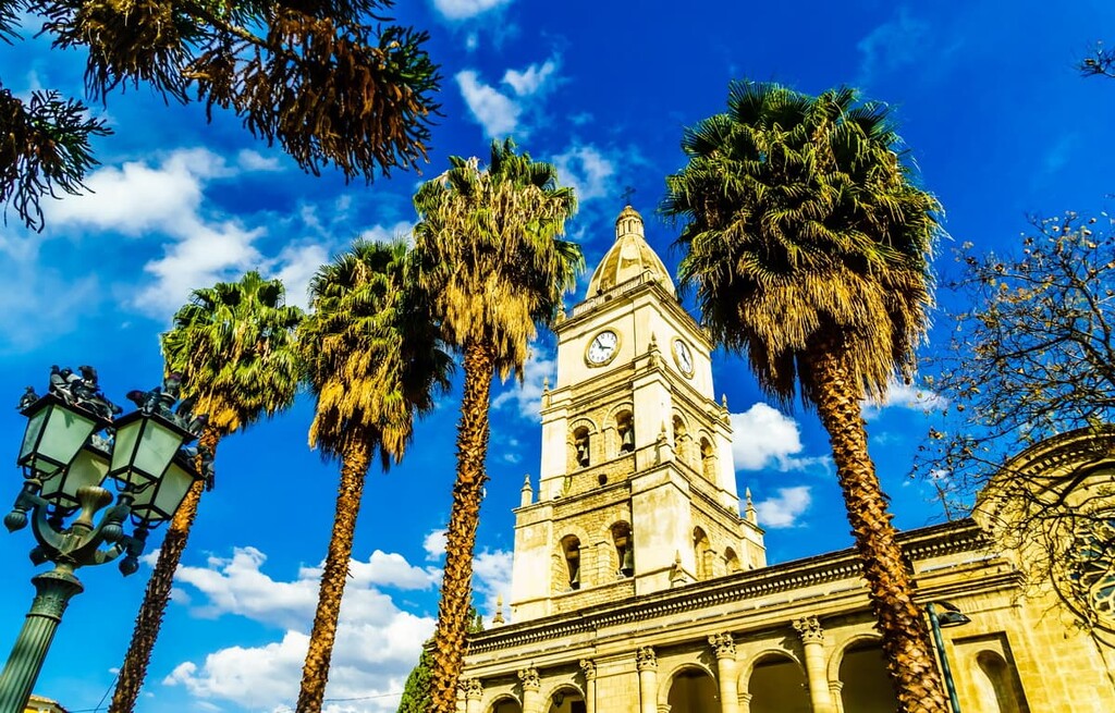
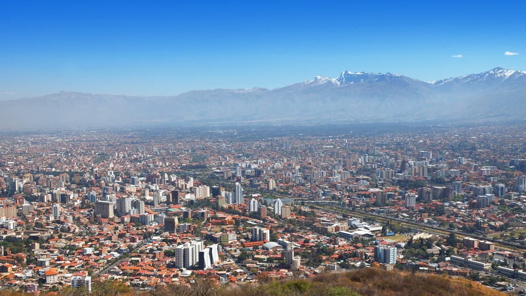
Located just south of Cerro Tunari, Cochabamba is the closest city to Tunari National Park. It’s the fourth largest city in Bolivia with about 850,000 residents. Cochabamba has a reputation as a culinary capital with excellent restaurants (both Bolivian and international) and lots of street food.
While it’s not as popular a tourist destination as La Paz, Cochabamba is a laid-back city with plenty to offer tourists. In addition to Tunari National Park, there are lots of outdoor activities nearby including hot springs, hiking, and hang gliding. It’s also close enough to day trip to Toro Toro National Park and Carrasco National Park.
Oruro is a historic small city about 200 km (125 mi) southwest of Cochabamba. The city, which is home to about 250,000 people, lies on the Bolivian Altiplano at about 3,700 m (12,100 ft) in elevation.
The biggest draw to Oruro is its annual carnival, which brings tens of thousands of musicians and dancers to the city for 10 days around Ash Wednesday. The Catholic festival has been celebrated for at least 200 years, and it has even deeper roots in local Indigenous traditions. It’s recognized by UNESCO as a “Masterpiece of the Oral and Intangible Heritage of Humanity.”
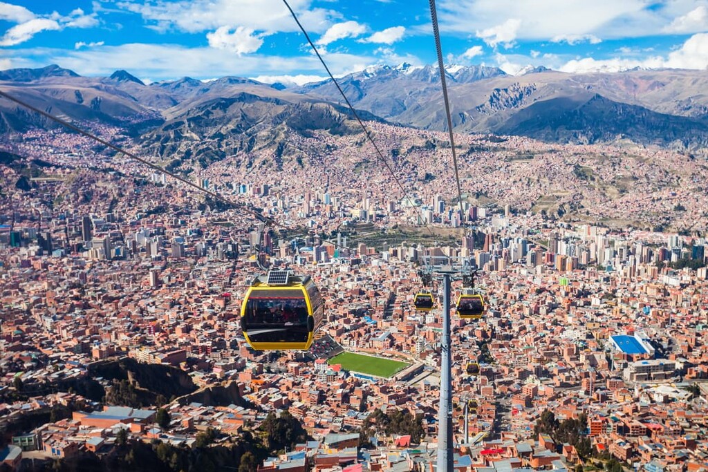
At 3,650 m (11,975 ft), La Paz is the highest capital city in the world and famously one of Bolivia’s two national capitals. La Paz is the executive capital and seat of government, while historic Sucre to the south is Bolivia’s constitutional capital.
The city is home to several colonial-era cathedrals and over a dozen museums, including the National Museum of Archeology (Museo Nacional de Arqueología). La Paz’s natural setting is also stunning, set in a large bowl-shaped valley below a massive snow-capped mountain. One of the best ways to take in the city is from the unique system of aerial cable cars used for public transportation.