Scan the QR code and open PeakVisor on your phone
The Warner Mountains are a relatively isolated mountain range in the northeastern region of the US state of California, with a small portion extending into southern Oregon. The range features 53 named mountains, with Eagle Peak the tallest and most prominent at 9,895 ft (3,016 m) tall with 4,364 ft (1,330 m) of prominence.
The Warner Mountains run 85 miles (137 km) from north to south in northeastern California and south-central Oregon.
Despite their location, the Warner Mountains are not part of the Cascade Range or the Sierra Nevada; instead, they mark one of the most northwestern stretches of the Great Basin Ranges.
The range is a prime example of a horst and graben topography, also known as a fault-block or range and valley topography. Horst and graben refers to alternating raised and lowered fault blocks known as horsts and grabens, created by faulting and rifting due to crustal extension.
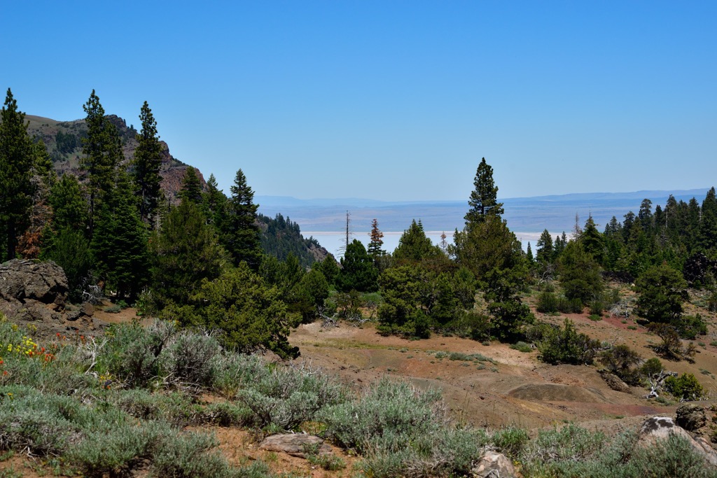
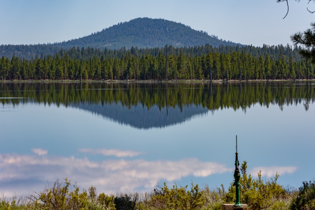
The basin portion of the range is home to numerous pluvial lakes, closed lakes found in mountain basins. Surprise Valley and Warner Valley lie just east of the range, featuring the three Alkali Lakes in California and the Warner Lakes in Oregon.
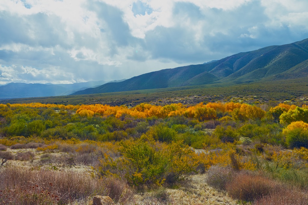
On the western side of the range lies a ranching and farming region drained by the Pit River, a tributary of the larger Sacramento River. This region is also home to Goose Lake, spanning 28 miles (45 km) across the Goose Lake Valley. Despite its impressive surface area, the lake’s maximum depth is only 8m (27 ft), and it periodically dries up in drought conditions.
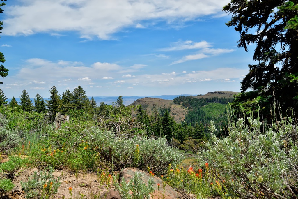
The range’s lowest elevations feature grasslands used primarily for agriculture. Mountains on the west side are characterized by densely forested hillsides that slowly give way to barren peaks and alpine lakes.
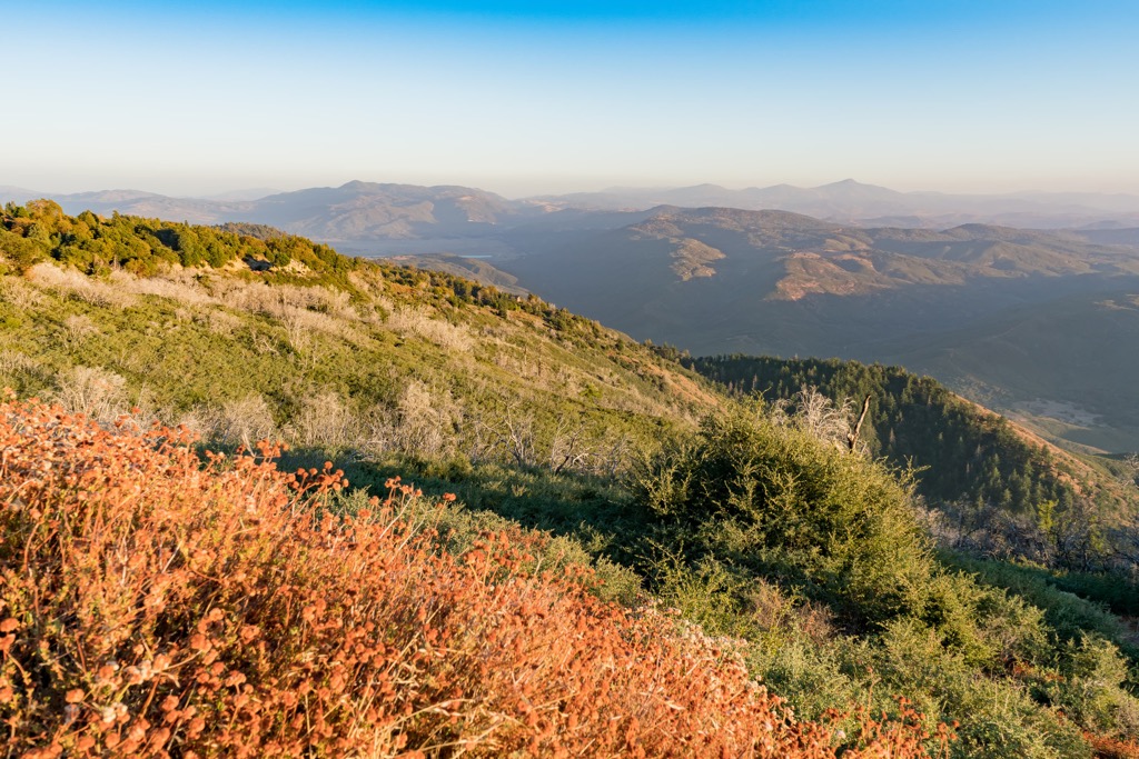
The highest elevations feature wide ridgelines, rocky buttes, scree fields, lakes, and other typical alpine terrain. While elevation changes gradually along the west side of the Warner Mountains, the east side features a sheer escarpment with dramatic cliffs.
To the west of the range lies the Cascade Range, with the land between the two ranges referred to as the Modoc Plateau. The Warner Mountains mark Surprise Valley's western boundary, extending eastwards into Nevada.
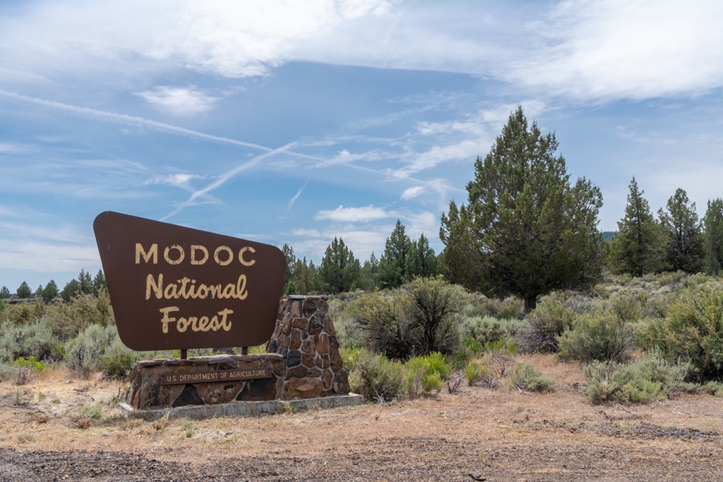
The Warner Mountains extend into multiple protected regions featuring hiking and other recreational opportunities; sections of the range lie within Modoc National Forest and South Warner Wilderness in California and Fremont-Winema National Forest in Oregon.
The Warner Mountains are part of the Great Basin Ranges, also known as the Basin and Range Province. This region spans the western US into California, Oregon, Idaho, Nevada, Arizona, and Utah.
True to its name, the region, including the Warner Mountains, features alternating ranges and basins. These unique geological features directly result from widespread tectonic crustal extension, which took place during the Early Miocene period.
Tectonic shifting caused some sections of the Earth’s crust to pull apart while others thrust together. The Warner Mountains are still slowly rising due to this tectonic shifting while the nearby basins and valleys slowly drop in elevation.
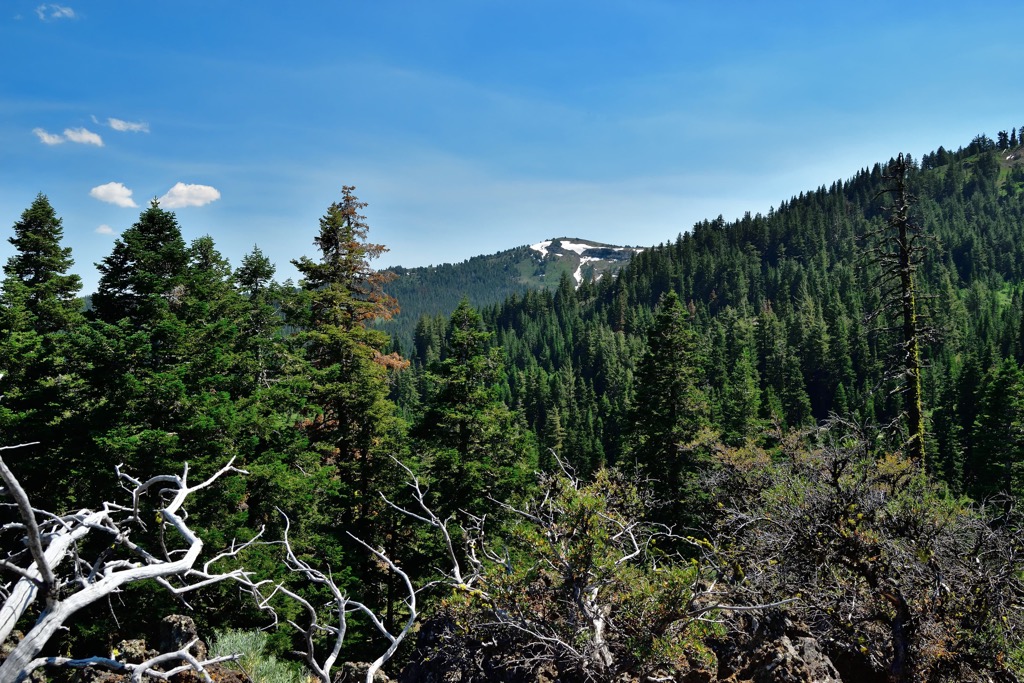
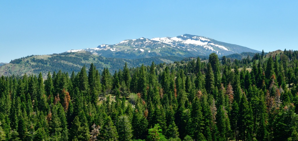
Volcanic rock exists throughout the range, though these peaks are not volcanoes like the Cascade Range, which lies to the west. Instead, a series of lava flows have periodically covered the region. These layers become visible as the Warner Mountains uplift. Cliffs around Patterson Lake showcase layers from 11 separate lava flows that once engulfed the area.
Most of the peaks within the range are between 7,000 and 8,000 feet (2,135 - 2,440 m), with three reaching above 9,000 feet (2,743 m). The highest peaks lie within the South Warner Wilderness.
Significant peaks include Eagle Peak, Drake Peak, Warren Peak, Crane Mountain, and Bald Mountain.
The flora and fauna of the Warner Mountains are similar to species found throughout the Modoc National Forest.
Juniper and bunchgrass populate the lower elevations. As elevations increase, the landscape reverts to pine forests, including ponderosa, lodgepole, Jeffrey’s, and western white pine. Some sections also support red fir and white fir.
Generally, the area features a relatively dry, high-desert climate and can support some species of wildflowers, including wild pansies, purple lupin, Indian paintbrush, yellow primroses, and red owl clover.
The range’s proximity to a plethora of lakes, waterways, and multiple national forests helps support many animal species. Large mammals include mountain lions, mule deer, coyotes, pronghorn antelope, Rocky Mountain elk, black bears, and bobcats.
The human history surrounding the Warner Mountains dates back thousands of years. Native American tribal nations thrived long before Europeans arrived in present-day California and Oregon.
Some of the most prominent groups included the Modoc, Pit River or Achomawi, and the Northern Paiute. These groups lived primarily along the range’s more hospitable western side before European colonizers forcibly removed them.
The land east of the Warner Mountains, spanning into Surprise Valley, marks part of the ancestral homelands of the Paiute people. The Pit River, or Achomawi, people inhabited the land west of the range, near the headwaters of the Pit River. The Modoc people primarily lived further west in the nearby mountains.
Much of the surrounding region is marked as national forest lands, though the Pit River Tribe also owns some land. Members of the Modoc tribe are now enrolled in the Modoc Nation in Oklahoma, while others are members of the Klamath Tribes in Oregon. Paiute Tribal Nations are dispersed throughout present-day California and Nevada.
The first recorded expedition by Europeans into the surrounding region occurred in 1846. Charles Fremont, en route to southern Oregon, led the expedition. Shortly after, in 1848, gold miners began arriving throughout California.
As the population of white prospectors and settlers proliferated, conflict brewed between the settlers and Indigenous groups. Hostilities eventually led to the Modoc Indian War, which lasted between 1872 and 1873, marking the only major Native American war fought in California.
The Modoc leader, Kintpuash, led a group of his people from their reservation in Oregon back to their native homelands in California. The US government deployed nearly 600 soldiers to confront the 60 Modoc fighters. After six months of battle, the Modoc were forced to surrender, and US forces executed their tribal leader.
After this war, more settlers began moving into the region, creating ranches with horses, cattle and sheep. For decades, the land was overgrazed, leading to the establishment of the Modoc Forest Reserve in 1904 and the South Warner Wilderness in 1964.
The Fremont National Forest was initially protected in 1906 as the Goose Lake Forest Reserve. This forest was later administratively combined with Winema National Forest in 2002.
The Warner Mountains are ripe with opportunities for hiking and other outdoor recreation. Here are some of the top hiking areas to visit:
The Modoc National Forest encompasses most of the Warner Mountains and extends to the west across northeastern California. The region's topography covers over 1.6 million acres (6,475 sq. km) and is incredibly diverse. While the Warner Mountains feature stunning peaks along the east side, sweeping valleys, volcanic plateaus, and rolling hills define various other parts of the National Forest.
Some notable sights include the Medicine Lake Highlands, featuring over 200 miles (322 km) of craters, lava tubes, and lava flows. Hikers can explore the various lakes and forests, as well as the scenic Pit River.
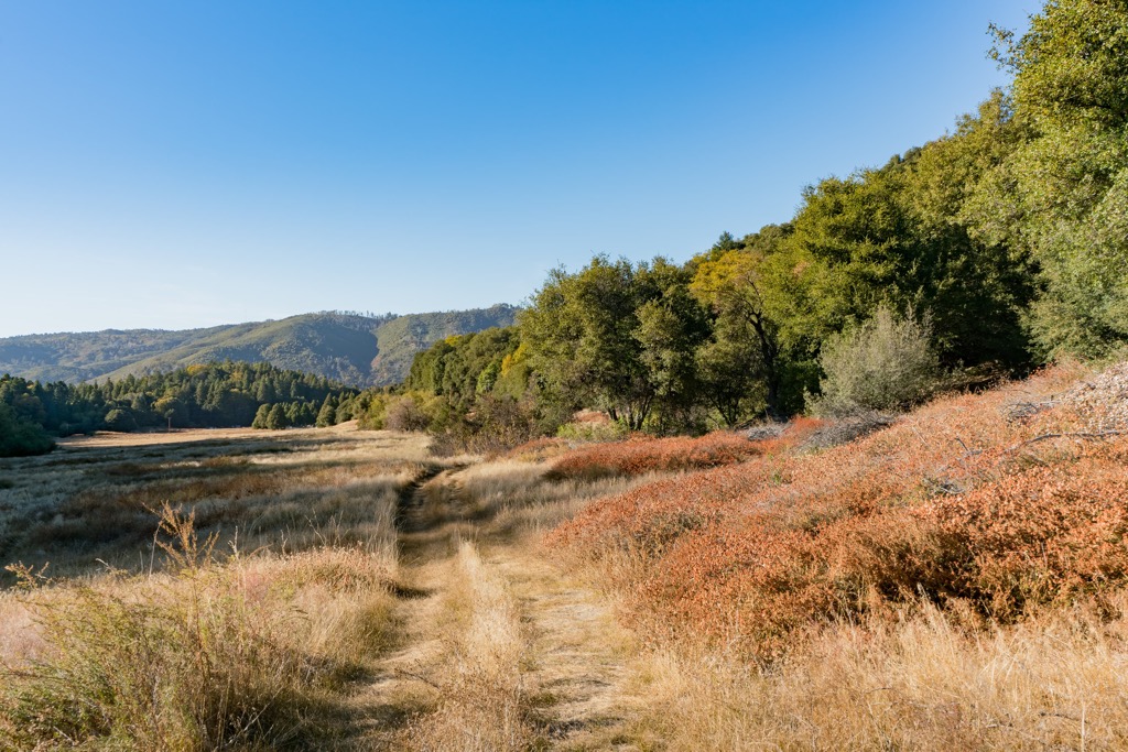
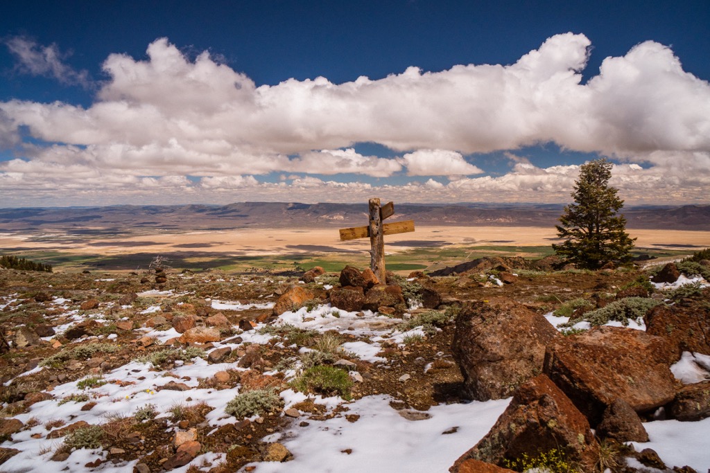
The South Warner Wilderness lies within the Modoc National Forest, marking the southern edge of the Warner Mountains. Here, hikers will find the range’s tallest peaks. This wilderness spans roughly 70,000 acres (283 sq km) and features 79 miles (127 km) of hiking trails.
Hikers can enjoy the sweeping views over Surprise Valley and cool off in one of the many alpine lakes. Notable hikes include Pepperdine to Patterson Lake, Pine Creek Trail, Clear Lake Trail, and Milk Peak Trail. This wilderness offers the most stunning vistas in the entire range.
Fremont-Winema National Forest encompasses a small northern section of the Warner Mountains in Oregon. The forest spans to the northwest across southern Oregon. It marks the state's second-largest national forest, covering over 2.2 million acres (8,903 sq km).
Most trails near the Warner Mountains in the Fremont-Winema National Forest are centered around Goose Lake and the Gearhart Mountain Wilderness to the northwest.
Looking for a place to stay near the Warner Mountains? Here are some of the best towns and cities to check out:
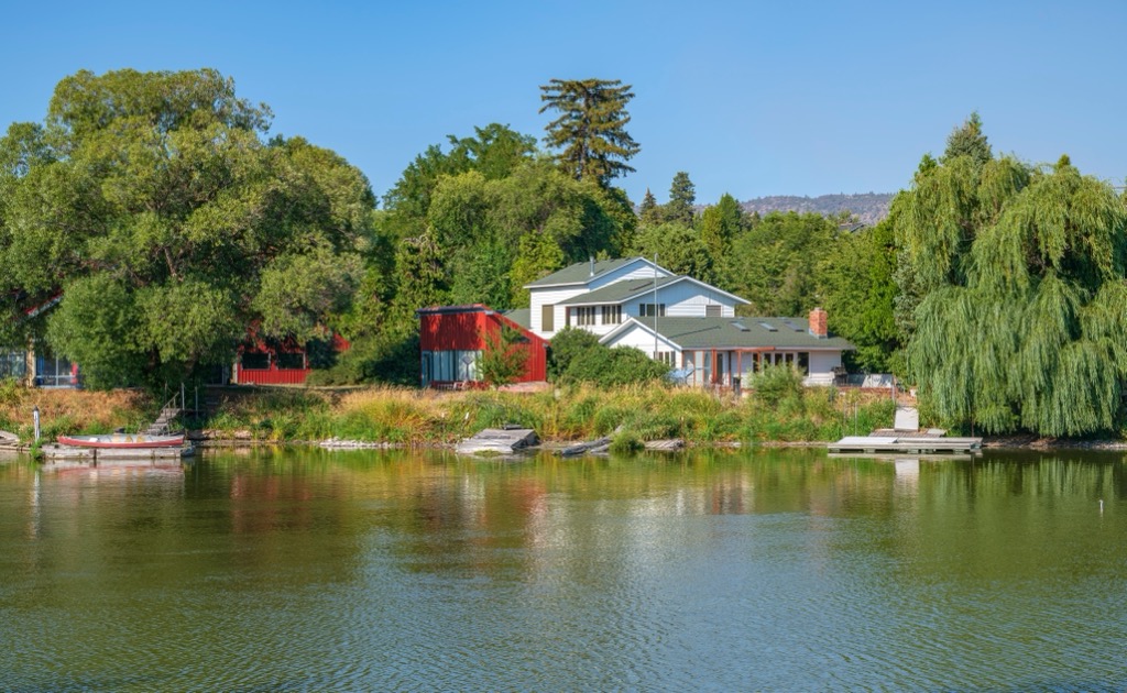
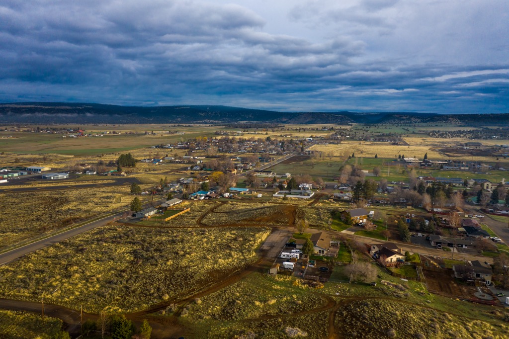
The small city of Alturas lies along the western edge of the Warner Mountains. Alturas sits at the confluence of the north and south fork of the Pit River and is home to around 2,500 residents. Despite its relatively small size, the city is one of the region’s most prominent and is a local economic hub.
Home to a few shops and restaurants, Alturas is surrounded by ranch land and small ranching communities. The proximity to the mountains and national forest surroundings provides Alturas with year-round outdoor recreation opportunities.
The city of Klamath Falls, Oregon, lies an hour and a half drive northwest of Alturas. Klamath Falls is home to around 20,000 residents and straddles the southeastern shores of Upper Klamath Lake.
The city occupies a known geothermal resource area, with geothermal power used since the early twentieth century. Nearby sites include Crater Lake National Park and Lava Beds National Monument, featuring opportunities for trail running, mountain biking, hiking, and kayaking.
A multitude of local restaurants, cafes, and breweries line the downtown streets and offer an ideal way to relax after exploring the high desert terrain of the Cascade Range’s eastern foothills.