Scan the QR code and open PeakVisor on your phone
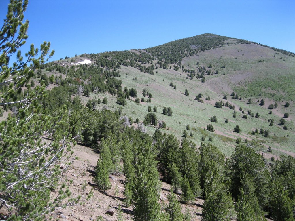
The South Warner Wilderness is a protected wilderness area that lies within Modoc National Forest in California. The wilderness spans 70,000 acres and ranges in elevation from 5,000 feet up to 9,898 feet. There are 9 named mountains in South Warner Wilderness. The highest and the most prominent mountain is Eagle Peak.
Regions of the park have been protected since 1931 and were expanded in 1964 with the passing of the Wilderness Act. This act help establish the region as South Warner Wilderness. The Warner crest divides the region and the water that flows through the wilderness. To the west lies Sacramento and to the east lies the Great Basin and Surprise Valley. The Warner crest is known for its jagged mountain peaks which include Emerson Peak as well as Squaw Peak. Warner Mountain Range is a fault block range with Likely Fault to the west and Surprise Valley Fault to the east. The east side of the wilderness is characterized by steep cliffs and terraces while the west side is heavily forested slopes.
There are many lakes and rivers within the wilderness. The largest and most popular lake is Patterson Lake which also happens to be at the highest elevation. The lake even has a self-sustaining population of trout. The major streams in the wilderness include Parker Creek, Eagle Creek, Mill Creek, and Poison Creek. Wildlife in the South Warner Wilderness consists of mule deer, mountain lions, beaver, coyote, bobcats, and martens.
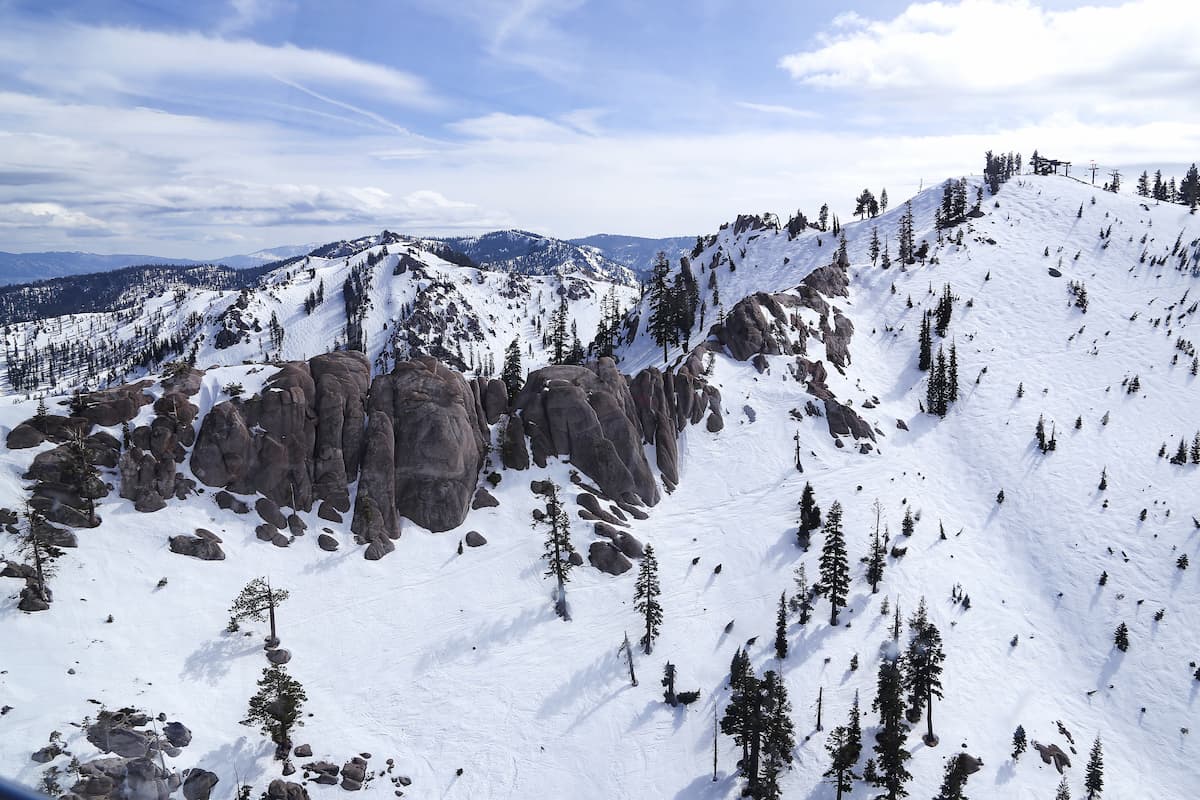
Hiking is the most popular activity in the wilderness with just over 79 miles of maintained trails and an additional 20 miles of unmaintained pathways. In total there are eight major trailheads used for hiking and backpacking. Fishing, horseback riding, and cross-country skiing in the winter, are also popular activities for the area.
As one of the most popular hikes in the wilderness, this trail is 13-miles long with 3,221 feet of elevation gain. The trail follows a ridge through the wilderness with views throughout. The route leads to Patterson lake where hikers can turn around or hike and scramble to the top of Warren peak that sits about the lake. Atop Warren Peak are 360-degree views of the wilderness. Mt. Shasta and Lassen are visible from the top, along with views stretching from Oregon to Nevada.
Note that the term squaw is considered extremely offensive by Indigenous groups in America and there is continued work to change to name of this trail as well as Squaw Peak. This trail starts at Pepperdine Campground before climbing 3,500 feet to the top of Squaw Peak. From there the trail follows the same ridge as the Summit Trail offering expansive views of the surrounding wilderness and various distant mountains. From the top of Squaw Peak are views of the sharp contrast of the west and east side of the wilderness.
Pine Creek Trail is a moderate route totaling 5.1-miles with 748 feet of elevation gain. Located near the city of Alturas, the hike gradually climbs before reaching the basin. From here hikes can turn around or continue another 3-miles to Patterson Lake.
The closest city to the South Warner Wilderness is Alturas, California. With a population of approximately 3,000, Alturas straddles both the north and south fork of the Pit River. Warner Mountain, and the wilderness, lie to the east making outdoor activities, easily accessible year-round. The city is surrounded by ranch land and is home to a few local shops and restaurants.

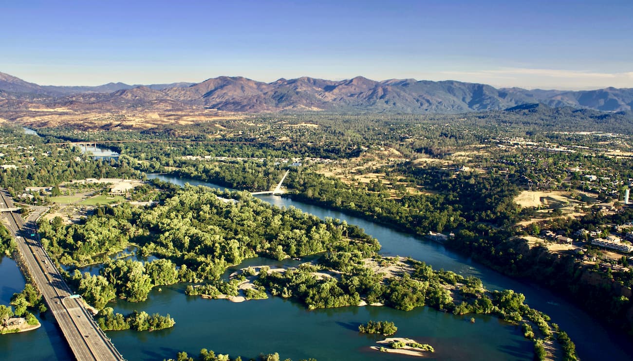
Just two and a half hours west of the South Warner Wilderness sits Redding, California. The city sits along the Sacramento River and is just 15 miles south of Shasta Lake. The city’s population is just over 90,000 and is at the very northwestern end of the Central Valley. Redding is surrounded by mountains to the north, east and west. The Market Center located downtown is the perfect place to explore the city and grab a bite to eat after a long day of hiking.
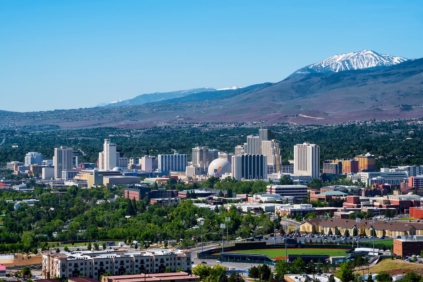
Reno is located in the state of Nevada and is known for its casino and tourism industry. The city sits two and a half hours from the South Warner Wilderness. The city sits in the high desert river valley at the foot of the Sierra Nevada. The city is known as “The Biggest Little City in the World” and it sits 22 miles from the gorgeous Lake Tahoe. With a population of 255,000, the city is by far the largest in the area. Outdoor activities are abundant year-round with the city’s close proximity to Lake Tahoe, Truckee River, Pyramid Lake and 18 nearby ski resorts.