Scan the QR code and open PeakVisor on your phone
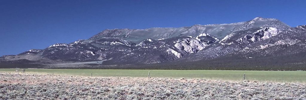
The Egan Range is a north to south running mountain range situated in the eastern region of the US state of Nevada. The range lies within Toiyabe National Forest, and features dramatic changes in elevation from the valley floor up to its highest peaks. There are 35 named peaks in the range with the tallest and most prominent being Ward Mountain at 10,932 feet (3,332 m) tall with 3,687 feet (1,124 m) of prominence.
The Egan Range is a narrow mountain range situated in eastern Nevada. Similar to many of the surrounding ranges in the Great Basin Ranges, the Egan Range runs in a north to south direction.
The peaks cover roughly 108 miles (174 km) in length covering terrain in both White Pine and Lincoln counties. Route 50, also known as “The Loneliest Highway in America” cuts across the mountain range in a west to east direction.
Just east of the range lies Steptoe Valley and the Schell Creek Range. To the west of the Egan Range lies the White River Valley and the White Pine Range. The Cherry Creek Valley extends to the north while the Schell Creek Range curves to form the southern boundary of the Egan Range.
Changes in elevation vary between the northern and southern sections of the Egan Mountains. The southern portion of the range features more gradual changes from the valley floor up to the summit of the peaks while the northern stretches of the range are marked by dramatic drops in elevation.
Elevations range from around 6,200 feet (1,889 m) in the valleys up to the summit of Ward Mountain. The terrain is similar to that found throughout eastern Nevada and western Utah. These peaks receive slightly more rainfall compared to the mountains in central Nevada which lie in the direct rain shadow of the Sierra Nevada.
The terrain of the Egan range is similar to that found in eastern Nevada. Here hikers are likely to find more plant life than ranges in the central portion of the state. Rolling forested foothills begin to rise steeply into rocky ridgelines, buttes, and basins within the alpine terrain. Stands of aspen trees and intermixed with low growing shrubs and grasses throughout.
The headwaters of the White River are in the nearby White Pine Range, before the river travels along the western edge of the Egan Range. Seasonal small creeks and streams can be found throughout the Egan Range.
The Egan Range is situated near numerous other areas for outdoor recreation. Portions of the range lie within the Humboldt - Toiyabe National Forest. The Far South Egans Wilderness and South Egan Range Wilderness are situated in the southern half of the range with the Bristlecone Wilderness in the northern half.
The peaks within the Egan Range are part of the larger Great Basin Ranges, which as a whole extend throughout much of Nevada, Utah, Idaho, Oregon, and California.

This mountainous region in the US was primarily formed by tectonic extension beginning in the Early Miocene. During this time the Earth’s crust was continually stretched and folded, leaving numerous fault lies throughout the region.
This continual extension slowly formed the series of alternating peaks and valleys, which give the area its name of the Basin and Range province. Fault lines lie on either side of the ranges that are visible today.
Tectonic extension is still at play throughout the Basin and Range province. As the valleys in the region are slowly dropping in elevation, the peaks are continuing to slowly rise. Alpine glaciers formed throughout the surrounding area during the Pleistocene.
As these glaciers retreated they left behind cirques and moraines, remnants of the once vast glaciers in the region. Though there are currently no glaciers in the range, the snowpack each year continues to slowly erode and shape the landscape.
The Egan Range features a metamorphic core complex, similar to other ranges in the region. Igneous rock is also common in the core of these peaks while sedimentary rock comprises the outer layers.
Major peaks within the Egan Range are Ward Mountain, Telegraph Hill, Shingle Peak, Heusser Mountain, and Hamels Peak.
The flora and fauna varies slightly throughout the Egan Range though species found in the area are similar to those found throughout eastern Nevada.
The northern portion of the range features grasses and desert brush at lower elevations along with small patches of juniper and pinyon pine trees. Higher elevations feature aspen and bristlecone pine trees along with blue fax, paintbrush, globemallow, and arrow-leaf balsamroot.
The southern stretches of the range feature more densely forested hillsides of pinyon pine and juniper while the deep canyons are populated by riparian vegetation. Bristlecone pine trees are found along the main spine of the range in this region.

Wilderness areas in the range provide important habitats for bird species including the long-eared owl, great-horned owl, golden eagles, turkey vultures, prairie falcons, and various species of both kestrels and hawks.
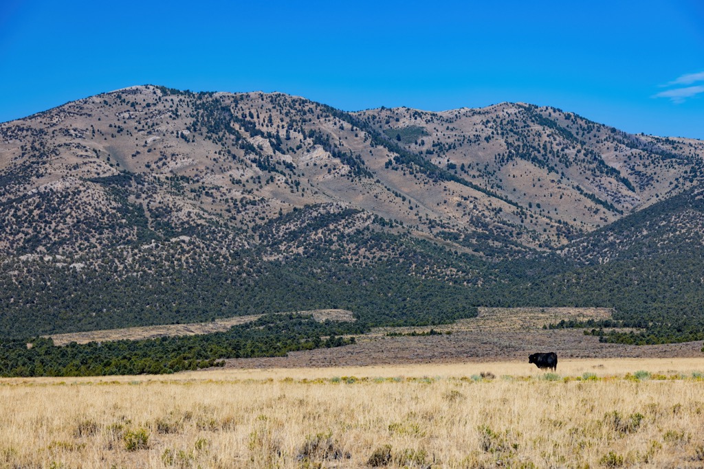
Mammals in the area include mule deer, pronghorn antelope, elk, and badger. Desert bighorn sheep were once much more common in the area though hikers will still spot them occasionally.
Present-day Nevada, including the land surrounding the Egan Range, has been inhabited by Indigneous peoples for thousands of years. Archaeological evidence found in the state suggests that humans have lived in the region for nearly 10,000 years.
Many Indigneous tribes and communities have inhabited land in eastern Nevada since time immemorial. The most prominent tribal nations who have ancestral ties to this region are the Western Shoshone and Confederated Tribes of the Goshute Reservation.

The Goshute Reservation, which is home to the Confederated Tribes of the Goshute Reservation, lies just east of the range. The Goshute are a Western Shoshone people, and they refer to themselves as Newe (nɨwɨ) or Newenee (nɨwɨnɨɨ).
The Western Shoshone and the Goshute Tribes both covered large areas of land, living nomadically and migrating with the changing of the season. The Egan Range marks some of the eastern stretches of the Western Shoshone territory and some of the most western stretches of the Goshute territory.
European settlers first made contact with the Goshute people during the mid 1800s as fur trappers and traders arrived in the region. In the years that followed, Brigham Young sent Mormon missionaries to present-day Nevada in the 1840s in order to establish communities near the Salt Lake Valley. The arrival of the Mormon people resulted in the exploitation of Indigneous peoples and their native lands.
Around the same time, more settlers began traveling across Nevada as they were en route to California. As the Tribal Nations across both Nevada and Utah fought to protect their native homelands, the US military repeatedly attacked, harassed, displaced, and killed the Indigneous peoples of the region.
Numerous battles broke out between the two groups. Some of the most prominent between the two groups include the Goshute War, Pyramid Lake War, Owens Valley Indian War, Snake War, and the Bannock War. These ongoing battles, along with the arrival of infectious diseases such as smallpox, drastically reduce the number of Indigneous people in the region. Many of those who remained were forced onto reservations.

The two primary Goshute Tribes that are present today include the Confederated Tribes of the Goshute Reservation and the Skull Valley Band of Goshute Indians of Utah.
The Confederated Tribes are headquartered on the Goshute Reservation, which is near the Deep Creek Mountains. The Skull Valley Band of Goshute Indians of Utah are headquartered on the Skull Valley Reservation, which lies west of the Cedar Mountains.
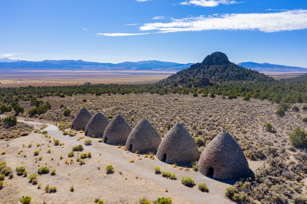
The California Gold Rush brought more people to the region with numerous mining towns being established throughout the foothills of Nevada. Though many have since been abandoned, a few of these small towns still exist today.
Both the Bristlecone Wilderness and the South Egan Range Wilderness were established in 2006 as part of the “White Pine County Conservation, Recreation, and Development Act”.
Despite the stunning beauty of the region, there are minimal amounts of designated hiking trails in the wilderness sections of the Egan Range. A majority of the short hikes can be found near the community of Ely, situated near the center of the range. Here are a few of the popular hikes in the region:

Looking for a place to stay near the Egan Range? Here are some of the best cities and villages to check out in the region.
The city of Ely is situated in the central portion of the Egan Range along US Route 50. Home to around 4,000 people, Ely is a remote mountain town with close proximity to the entire Egan Range and the nearby High Schells Wilderness Area.
Ely provides easy access for those visiting wilderness areas, Humboldt - Toiyabe National Forest, and Great Basin National Park. The Lehman Cave system, which lies within the national park, also brings many people to the region. Downtown Ely features an 11-block art walk along with local shops and restaurants.
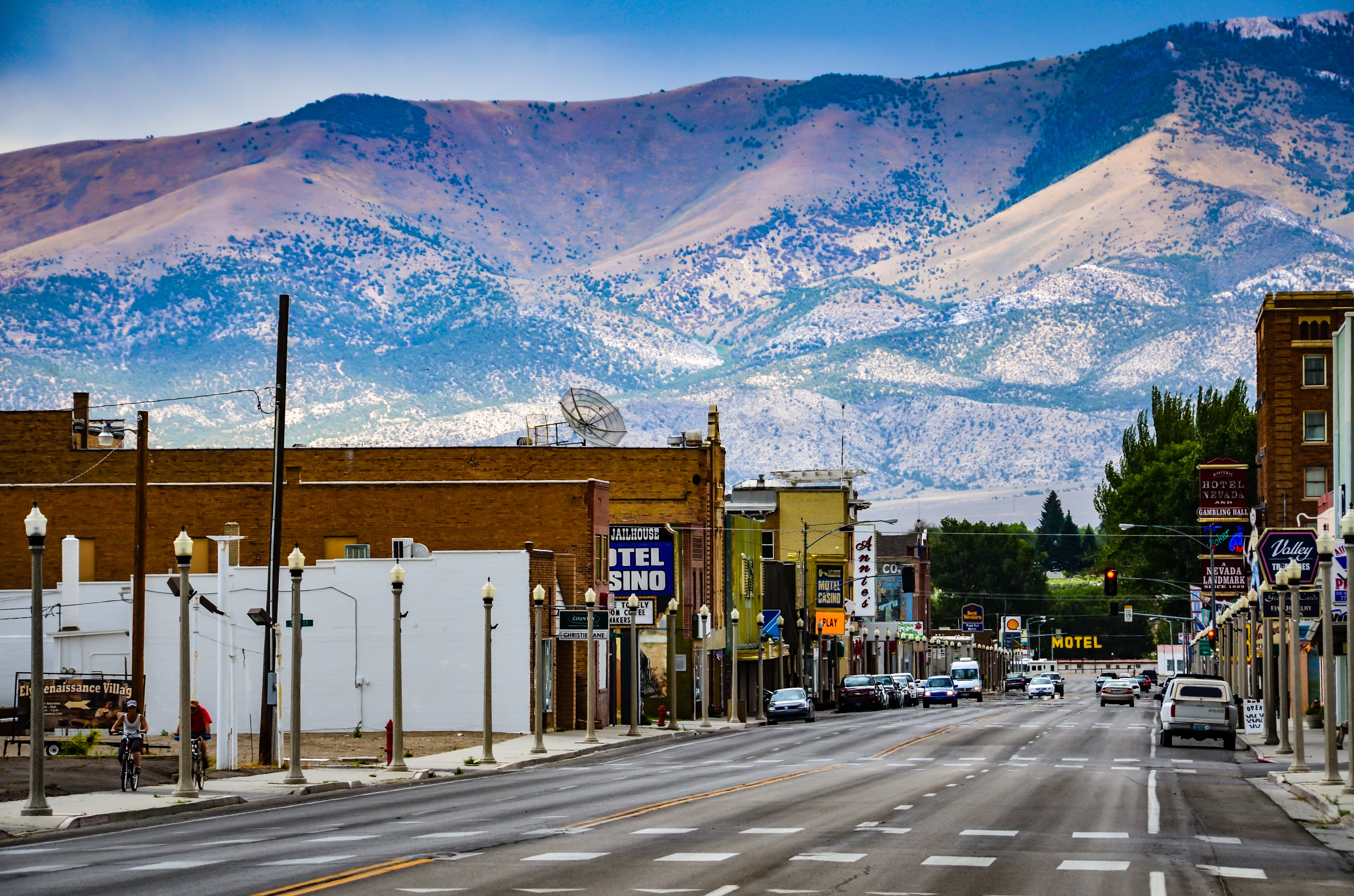
Trails surrounding the city are often less busy than those found in the western stretches of the state. Originally founded as a stagecoach station for the Pony Express, the city is home to numerous historic sites. Copper was discovered in the nearby mountains in 1906 leading to a later mining boom than other towns in the region.
Salt Lake City lies to the northeast of the Egan Range, roughly a three and a half hour drive from Ely. Home to around 200,000 residents, the city boasts a metro population of over 1.2 million making it the most populous region in the entire state of Utah.
Nestled on the eastern edge of Great Basin Ranges, Salt Lake City is surrounded by mountain ranges, making it a hub for outdoor recreation. Numerous national parks and national forests lie just outside the city limits, offering an escape from the populous cityscape.
During the winter months, locals and visitors alike can explore the nine ski resorts that are all within an hour’s drive of the city. Hiking, trail running, mountain biking, and rock climbing are all popular activities in the surrounding region. Downtown Salt Lake City is home to numerous museums including the Natural History Museum of Utah and Utah Museum of Fine Arts, among various others.