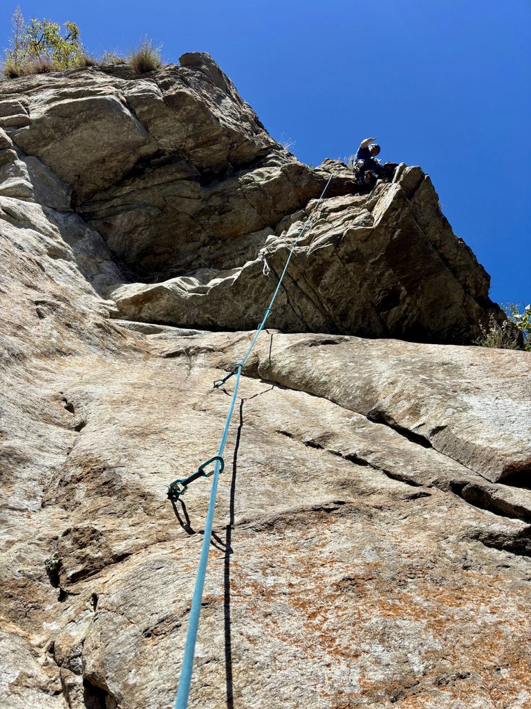
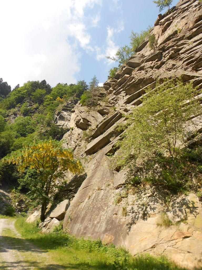
Rock climbing at Sperone dei corvi in Piemont, Italy — 6 routes, 2 sectors, grades French 6a+–7b+. Grades, topo links and photos on the PeakVisor hiking map.
Show more
Climbing
6 routes6a+–7b+ Fr2 sectorsSE
Bourcet – Parete della Vecchia
4 routes · 6c–7b+ Fr · E–SE
Urlo di Munch6c+ (obl. 6a) · 210 m · SE La via supera il margine sinistro dell'imponente parete della vecchia, la "Big Wall" del Bourcet.La difficoltà obbligatoria è alla portata di molti (6a) ma la via, per questo, non và sottovalutata considerato il fatto… gulliver.it ↗
Folgore6c (obl. 6a+) · 200 m · SE Arrampicata molto continua varia e omogenea nelle difficoltà, con lunghi tratti strapiombanti. Si può scendere con due doppie da 60 (obbligatorie!) da S5 ed S3. Come per le altre vie del Bourcet, dalla Frazione Roreto… gulliver.it ↗
Ombre Rosse7b+ (obl. 6b) · a2 · 180 m · SE Via attrezzata con fix. Un solo chiodo tradizionale (serve!). Materiale necessario: 16 rinvii. Un gancio fi-fi ed un staffa. Tempo da 4 a 6 ore. Discesa consigliata a piedi. La via supera il tratto di parete compreso… gulliver.it ↗
Mai Dire Mai7b+ (obl. 6a+) · 180 m · E Bella via con arrampicata molto elegante. il terzo tiro molto al di sopra delle restanti difficoltà della via. portare 12 rinvii ed eventualmente un paio di friends medi(0,75-1 camalot) Risalire la val chisone fino a… gulliver.it ↗
Bourcet – Parete dei Corvi
2 routes · 6a+–6c Fr · N–SE
Sperone dei Corvi6c (obl. 6a) · a0 · 300 m · SE Via molto bella e logica. Anche se non presenta difficoltà eccessive (tranne 1 passo all'8° tiro) complessivamente risulta faticosa. Gradazione molto stretta e obbligatorio alto. Utili ma non indispensabili nuts e… gulliver.it ↗
Tenente Vincon6a+ (obl. 5c) · 140 m · N Simpatica via molto ben protetta, che risale una serie di paretine poste più avanti ed a monte della Ferrata N.Ciardelli, prima del ponte che attraversa il torrente. L'attacco è chiaramente visibile dalla strada… gulliver.it ↗
We use GPS information embedded into the photo when it is available.
3D mountains overlay
Adjust mountain panorama to perfectly match your photos because recorded by camera photo position might be imprecise.
Move tool
Rotate tool
Zoom
More customization
Choose which peak labels should make into the final photo and what photo title should be.
Next
Photo Location
Coordinates work here too — paste them as 69.72728, 20.61890 and press Enter
Satellitte
Flat map
Relief map
Latitude
Longitude
Altitude
OR
Latitude
°'''
Longitude
°'''
Apply
Register Peak
Peak Name
Latitude
Longitude
Altitude
Register
Teleport
PeakVisor
This 3D model of Sagarmatha National Park in Nepal was made using the PeakVisor app topographic data. The mobile app features higher precision models worldwide, more topographic details, and works offline. Download PeakVisor maps today.
Download OBJ model
PeakVisor
The download should start shortly. If you find it useful please consider supporting the PeakVisor app.
PeakVisor for iOS and Android
Be a superhero of outdoor navigation with state-of-the-art 3D maps and mountain identification in the palm of your hand!